 Block
Block
Castalia, Ohio
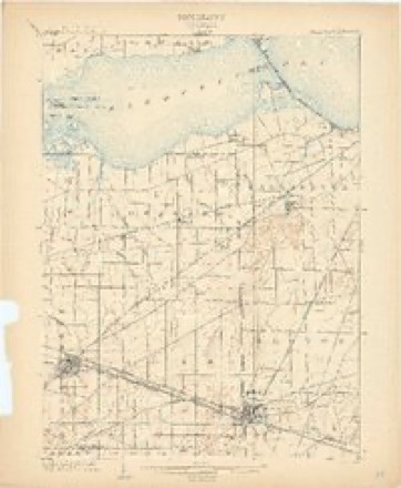
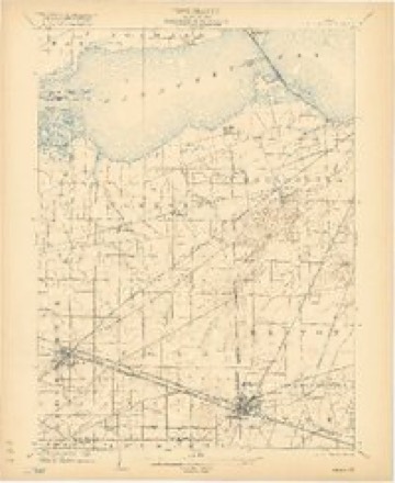
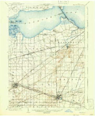
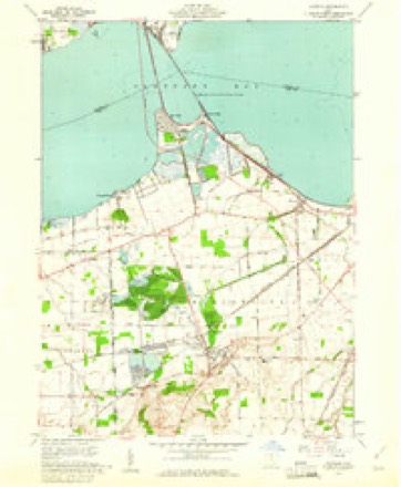
16 topographic sheets cover this place, the earliest surveyed in 1901 and the latest in 1986. It stands in Margaretta Township. It lies in ZIP code area 44824. The Survey maps it on the Castalia quadrangle. 774 people lived here at the 2020 count. It stands 633 feet above sea level.
Population over time
2 figuresCastalia fell from 852 to 774 between 2010 and 2020. These are the recorded population figures Wikidata holds for this place, reached through the Geographic Names Information System number this page is keyed on rather than by name, so they belong to this place and not to another of the same name. Most are census counts, but not all are: an early figure may be a founding or settlement estimate. The change column is computed, and is left blank where more than 20 years separate a figure from the one before it, because a gap that long is not a change between two counts.
| Year | People | Change |
|---|---|---|
| 2010 | 852 | |
| 2020 | 774 | -78 (-9%) |
Then and now
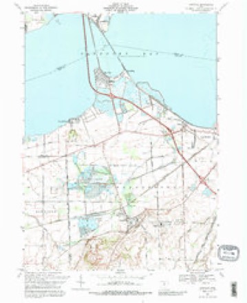
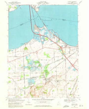
1901 to 1986The same ground, surveyed 85 years apart. Drag the handle to wipe between them. Both sheets are United States Geological Survey originals; neither has been altered.

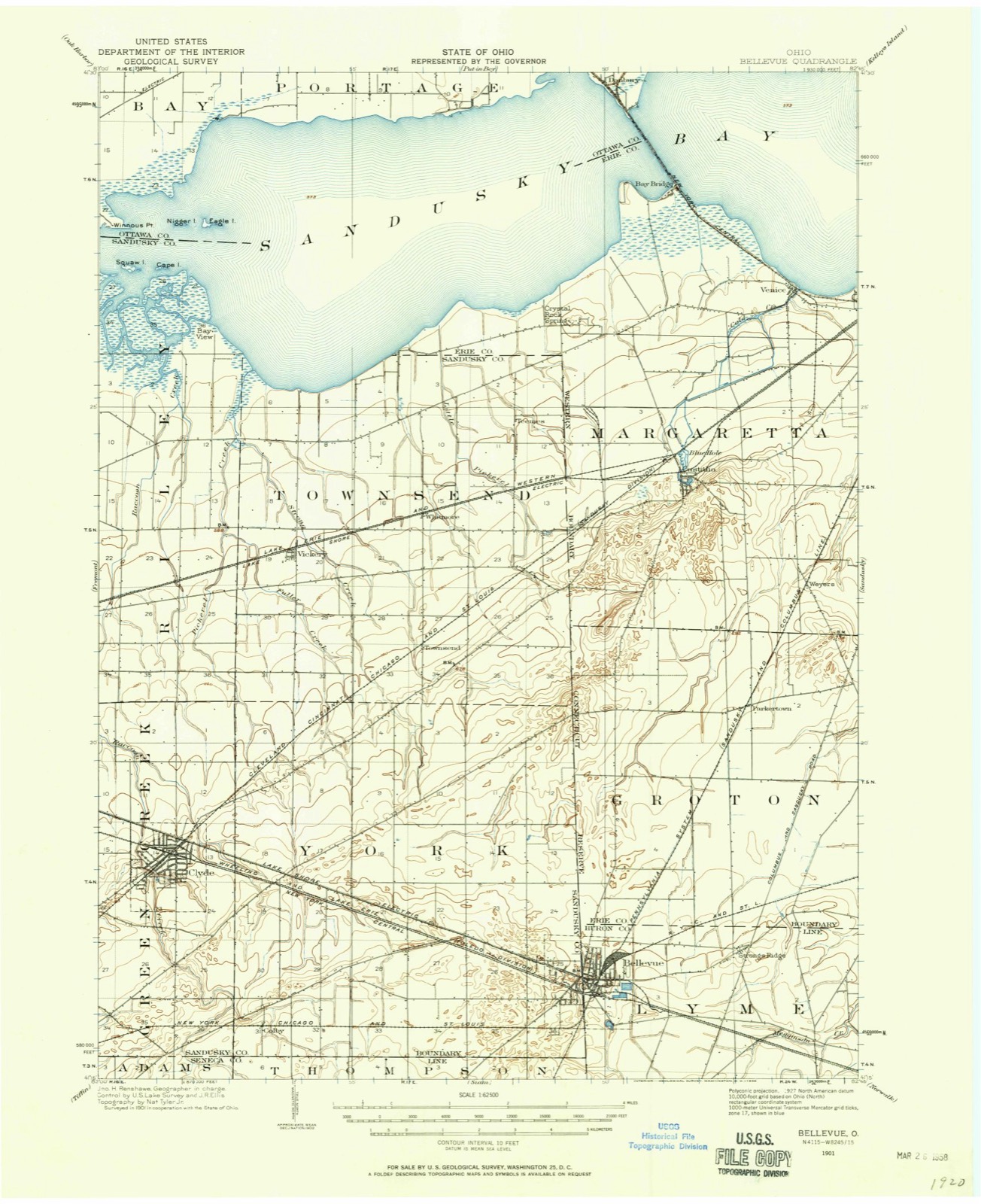
Topographic sheets covering this place
16 sheetsMatched by testing this settlement's coordinate against the published boundary of every sheet in the United States Geological Survey's historical collection. Each opens the scanned sheet at the Survey.
- 1901 USGS Bellevue quadrangle1:62500
- 1903 USGS Bellevue quadrangle1:62500
- 1903 USGS Bellevue quadrangle1:62500
- 1903 USGS Bellevue quadrangle1:62500
- 1903 USGS Bellevue quadrangle1:62500
- 1903 USGS Bellevue quadrangle1:62500
- 1956 USGS Toledo quadrangle1:250000
- 1956 USGS Toledo quadrangle1:250000
- 1956 USGS Toledo quadrangle1:250000
- 1956 USGS Toledo quadrangle1:250000
- 1959 USGS Castalia quadrangle1:24000
- 1961 USGS Toledo quadrangle1:250000
- 1969 USGS Castalia quadrangle1:24000
- 1969 USGS Castalia quadrangle1:24000
- 1986 USGS Lorain quadrangle1:100000
- 1986 USGS Lorain quadrangle1:100000







In the county-history sources
7,024 words on this townshipA Standard History of Erie County, Ohio, published 1916 names this settlement in its chapter on Margaretta Township. These are the passages that mention it, exactly as the scans read.
There are evidences that an Indian village formerly occupied the site of Castalia. The forts and mounds that have been discovered indicates that at some past time Indians made this a general headquarters. At the time of Hull's surrender a general stampede of the settlers took place, when men left their property and fields already planted and filed. The missionary to the Wyandots, Reverend Mr. Badger, was mainly instrumental in keeping these savages from taking sides against us in the War of 1812. A fort was discovered near Venice by Major Falley, overgrown with underbrush and timber, but showing a double entrenchment. It has since been completely obliterated by ¢ultivation, and now no trace of it can be found.
Passage source: A Standard History of Erie County, Ohio, published 1916.
At the time of the stampede a man named Andrews was putting in a hundred acres of wheat east of the burying ground, when the panie occurred, and after the trouble subsided he and some of the others came back and harvested their crops with guns on their backs. In 1813 there were but three houses in Cold Creek (now Castalia), - Mr. Snow's on the bank of the creek at its source, Mr, Butler's on the opposite bank, twelve or fifteen rods east, and Mr. Putnam's, half a mile down the creek on the prairie.
Passage source: A Standard History of Erie County, Ohio, published 1916.
Docartus P. Snow, of Vermont, in 1810 felled the first tree and built the first log house. It is said that the proprietors donated to him 100 acres of land in consideration of his building a grist mill on Cold Creek. He died in 1829. His widow (his second wife) married Philip S. Cowell. Uziel Putnam came in 1810 or 1811 from New York. In 1821 he moved to Sandusky County and was killed by being thrown from a sleigh in 1822. James Vanness settled here in 1814, coming from New York. He left in 1830 and died in Fremont about 1849. Ebenezer Hartwell came from Canada in June, 1815. He died about 1850. Andrus Parker came from Conneaut, Pennsylvania, in 1815. He returned to Pennsylvania in 1828. Philip Sutton settled on the northwest corner lot of the township about 1821. Peter Dunham settled on lot 2, section 2, in 1816, and died in 1830. Dougal Campbell located on lot 13, first section, in 1816, and died in 1852. Harvey Fowler settled on lot 24, in section 1, in the fall of 1818 and resided there until his death, February 18, 1875. Ira Barnes came here in 1818. Henry Cole came in 1815 and died in 1830. Thomas McCollough came in 1817 and died in 1850. A. M. Porter came in 1817 and died in Sandusky. Samuel Walker came in 1816 and died in 1831. Pliny Brown located on lot 7, in section 2, and lived there all his life; he died in December, 1860. Richard Falley settled here in 1818 and died in 1835. John Cowell located in the northwestern part of the township in 1818 and lived there till his death in 1871. Philip S. Cowell came about 1820, located at Castalia and died there in 1869.
Passage source: A Standard History of Erie County, Ohio, published 1916.
Machine-read from a century-old scan, so expect the errors a machine makes: misspelled names, dropped words, stray characters.
Read the whole chapter on Margaretta Township - it names this place 11 more 11 times.
Fires near this place
3 since 2002Regional context, not property-specific evidence. The federal wildfire occurrence database lists 3 fires within 5 miles of Castalia between 2002 and 2002, burning about 1 acres in total. None started naturally. None was recorded as arson. Distance is straight-line from the map coordinates, so a fire counted here may appear on a neighbouring settlement's page as well.
| Reported cause | Fires |
|---|---|
| Missing data/not specified/undetermined | 2 |
| Debris and open burning | 1 |
The most recent of them, most recent first, with the day each was reported and the service that recorded it.
| Date | Cause | Size | Reported by | Name on the report |
|---|---|---|---|---|
| 6 August 2002 | Missing data/not specified/undetermined | under an acre | Ohio State Fire Marshal's Office | not named |
| 10 August 2002 | Debris and open burning | 1.0 acres | Ohio State Fire Marshal's Office | not named |
| 24 June 2002 | Missing data/not specified/undetermined | under an acre | Ohio State Fire Marshal's Office | not named |
Settlements close enough to share some of these fires:
Specimens collected near this place
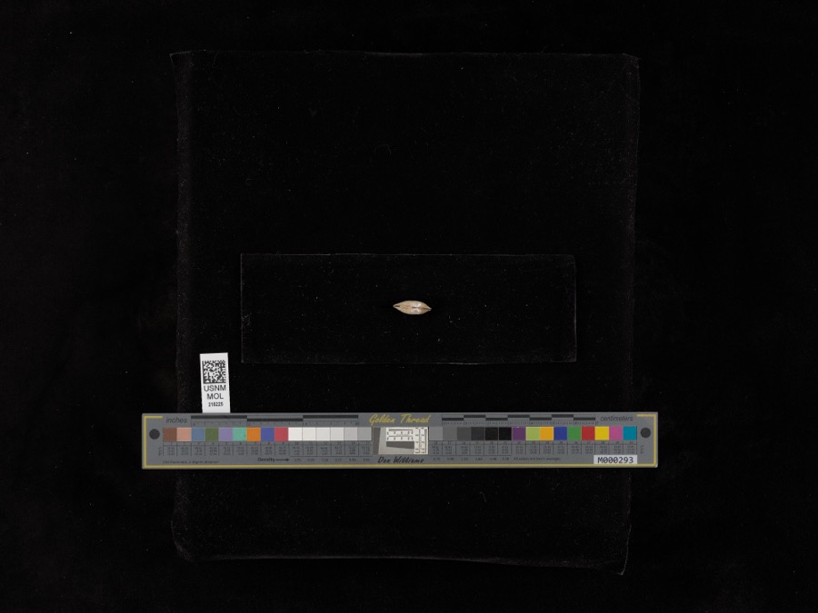
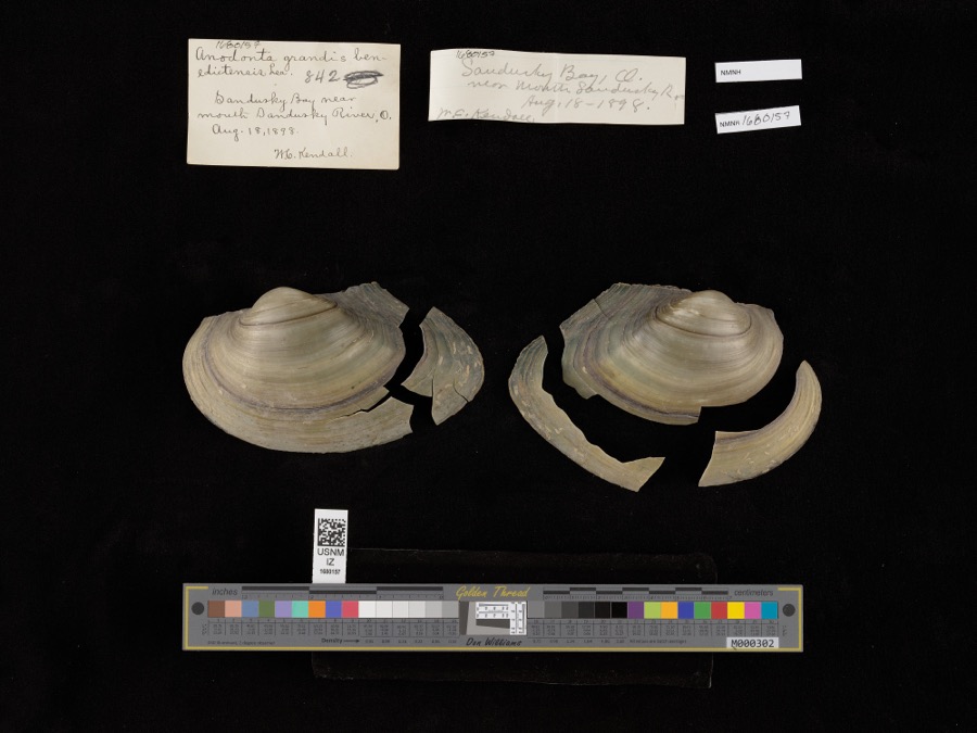
12 of 2,762 shownRegional context, not property-specific evidence. Museums hold 2,762 specimens collected within 10 miles of Castalia between 1860 and 1975: 1,468 Animalia, 1,015 Plantae, 243 Fungi, 29 Chromista, 6 Protozoa, 1 Unrecorded. 12 distinct Species records are shown. Collected by A. D. Selby, A. F. Satterthwait, A. J. Eames and others. Each is a physical object with a catalogue number, and each entry opens the museum's record. This is what was collected and kept, not a survey of what lives here - nothing can be concluded from a species being absent.
| Image | Species | Year | Collected by | Where, as recorded |
|---|---|---|---|---|
 | Lampsilis radiata radiata (Gmelin, 1791) | 1898 | United States Fish Commission | Sandusky Bay |
 | Pyganodon grandis (Say, 1829) | 1898 | United States Fish Commission & W. Kendall | Sandusky Bay near mouth of Sandusky River |
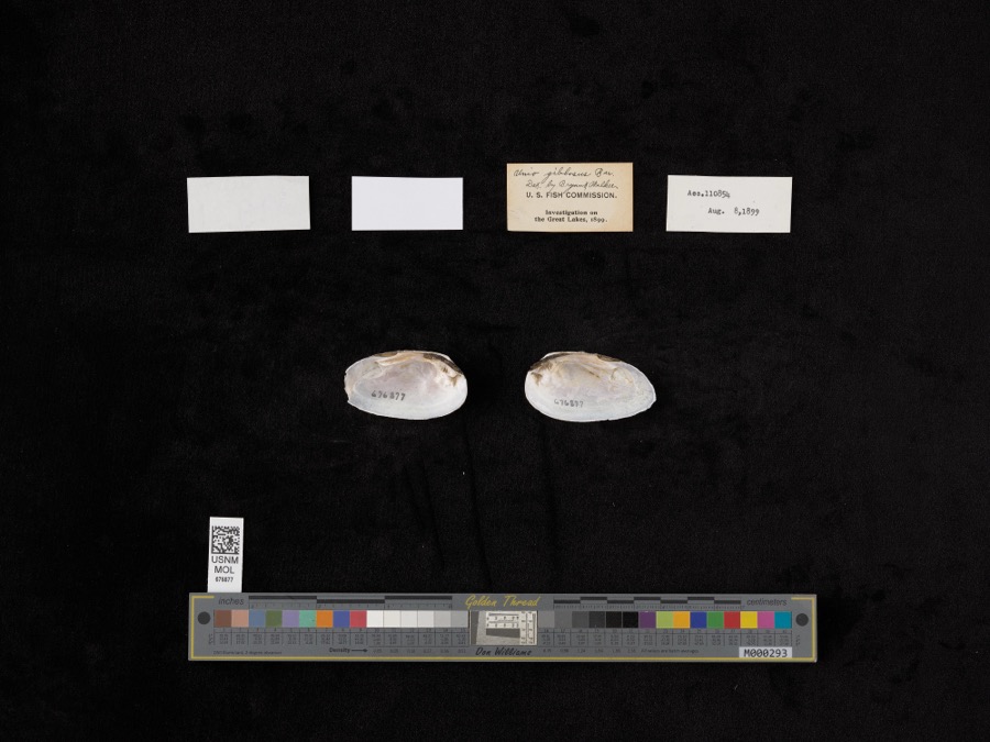 | Elliptio dilatatus (Rafinesque, 1820) | 1899 | not recorded | Lake Shore, Near East Harbor |
 | Perca Linnaeus, 1758 | 1860 | Smithsonian Institution | Sandusky |
 | Vermivora chrysoptera (Linnaeus, 1766) | 1868 | No Person (Birds) | Taylor |
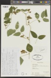 | Apios tuberosa Moench | 1885 | Wilkinson, E. | Cedar Point |
 | Spartina pectinata Bosc ex Link | 1885 | Wilkinson, E. | Cedar Point |
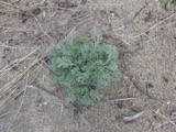 | Artemisia caudata Michx. | 1886 | Wilkinson, E. | Cedar Point |
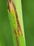 | Graminopassalora graminis (Fuckel) U.Braun, C.Nakash., Videira & Crous | 1886 | William Trelease; A. Commons | Madison |
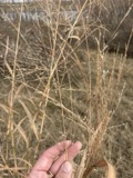 | Panicum virgatum L. | 1886 | Wilkinson, E. | Cedar Point |
 | Perca fluviatilis Linnaeus, 1758 | 1886 | Smithsonian Institution | |
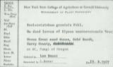 | Scolecotrichum graminis Fuckel | 1886 | Dr. Wm. Trelease; A. Commons | (a) Madison, Wis. (b) Faulkland, Del. |
All 2,762 specimens within 10 miles, at the Global Biodiversity Information Facility.
Mines and quarries near this place
3 within 5 milesRegional context, not property-specific evidence. The federal mineral resources record lists 3 workings within 5 miles of Castalia: 2 producers, 1 past producer. 2 still produce. What was taken out: Stone, Crushed/Broken, Limestone, General. Distance is straight-line from the map coordinates, so a quarry counted here may appear on a neighbouring settlement's page as well.
| Where | Site | Commodity | Status | Recorded |
|---|---|---|---|---|
| Sandusky Crushed Stone Quarry | Limestone, General | Past Producer | Sedimentary | |
| Erie Materials Inc. | Stone, Crushed/Broken | Producer | ||
| Sandusky Quarry | Stone, Crushed/Broken | Producer |
Storms near this place
32 since 1995Regional context, not property-specific evidence. The National Weather Service names Castalia in 32 storm reports between 1995 and 2023: 23 thunderstorm wind, 7 hail, 2 flash flood. No death or injury is recorded in these reports. Each account below is quoted exactly as the forecast office filed it, from the NOAA Storm Events Database, and each date opens the federal record of that event.
| When | Event | Place named | Harm | What the report says |
|---|---|---|---|---|
| May 2010 | Flash Flood | Castalia | $200,000 | Slow moving thunderstorms dumped locally heavy rainfall on portions of Erie and Sandusky Counties. Rainfall rates at times were between two and three inches per hour. A storm total of 3.98 inches of rainfall was measured in Bellevue with 3.48 inches reported a mile north of Bellevue. A spotter in Bloomingville measured a total of 3.90 inches of rain. Widespread flooding occurred across southwestern Erie County, northwestern Huron County and eastern Sandusky County. The worst flooding was in the Bellevue area. To the north of Bellevue, State Route 269 along with Hale, Potter and Portland Roads had be be closed because of flooding. Over two feet of water was also reported on U.S Route 20 in Bellevue. Several cars became stranded in the flood waters. Many other secondary roads in the area also experienced flooding. Several dozens homes sustained damage, mainly from basement flooding. |
| August 2018 | Thunderstorm Wind | Castalia | $125,000 | Thunderstorm winds downed several trees and some utility poles. The damage stretched from Main Street in Castalia north along State Route 269 to near U.S. Highway 6. Main Street (State Route 101) had to be closed because of downed trees and power lines. A vehicle was briefly trapped by downed lines. The occupant was not hurt. Power outages were reported throughout the area. |
| April 2003 | Thunderstorm Wind | Castalia | $75,000 | Thunderstorms winds downed many trees and three power poles in western Erie County. A home near Castalia had it's roof blown off. Another home sustained minor damage in Sandusky. At least one car was damaged by fallen trees. |
| May 2011 | Hail | Castalia | $20,000 | Quarter to ping pong ball size hail was observed. |
| July 1998 | Thunderstorm Wind | Castalia | $20,000 | Numerous trees were downed by wind gusts estimated at 60 miles per hour. |
| March 1998 | Thunderstorm Wind | Castalia | $20,000 | Telephone and power poles were downed. |
| June 2013 | Thunderstorm Wind | Castalia | $15,000 | Thunderstorm winds downed several trees and power lines. |
| August 2023 | Thunderstorm Wind | Castalia | $13,000 | Several trees and power poles downed in Castalia. |
| June 2015 | Thunderstorm Wind | Castalia | $12,000 | The Erie County Sheriff reported a large tree limb fell onto a mobile home northwest of Castalia. |
| August 2002 | Thunderstorm Wind | Castalia | $10,000 | Thunderstorm winds downed trees and large limbs in Castalia and Huron. |
| May 2006 | Thunderstorm Wind | Castalia | $6,000 | Several trees, along with power lines, were reported down. |
| October 2000 | Thunderstorm Wind | Castalia | $5,000 | Thunderstorm winds downed two trees near Castalia. |
| June 2007 | Thunderstorm Wind | Castalia | $3,000 | Several trees were reported down. |
| June 2004 | Thunderstorm Wind | Castalia | $3,000 | Thunderstorm winds downed one tree and one large limb. |
| April 2003 | Thunderstorm Wind | Castalia | $3,000 | Thunderstorm winds downed a few trees. |
| November 2014 | Thunderstorm Wind | Castalia | $2,000 | Thunderstorm winds downed a large tree. |
| June 2008 | Thunderstorm Wind | Castalia | $2,000 | Thunderstorm winds downed one tree. |
| April 2004 | Hail | Castalia | $2,000 | Quarter size hail was observed. |
| May 1997 | Thunderstorm Wind | Castalia | $2,000 | no account filed |
| June 2012 | Thunderstorm Wind | Castalia | $1,000 | Thunderstorm winds downed a couple large tree limbs. |
| November 2005 | Thunderstorm Wind | Castalia | $1,000 | A few large limbs were reported down. |
| July 1995 | Thunderstorm Wind | Castalia | $3 | Limbs and utility pole downed. |
| June 2023 | Thunderstorm Wind | Castalia | - | Numerous trees downed in Castalia. |
| July 2023 | Thunderstorm Wind | Castalia | - | Trees downed in Castalia. |
| June 2022 | Thunderstorm Wind | Castalia | - | Trees downed in Castalia. |
| May 2020 | Thunderstorm Wind | Castalia | - | Several trees down, siding ripped off of several houses, and a garage door blown-in near Bogart Road and Maple Ave in Castalia. Several other trees down at Castalia Cemetery on Bardwell Road. |
| April 2005 | Hail | Castalia | - | Penny size hail was observed northeast of Castalia. |
| May 2004 | Hail | Castalia | - | Penny size hail was observed. |
| July 2000 | Flash Flood | Castalia | - | Thunderstorms dumped 4 to 6 inches of rain on western Erie County during the afternoon hours with most of the rain falling between 3 and 5 pm. Widespread street flooding was reported in Castalia with up to 18 inches of water on State Route 269. State Route 269 had to be closed for nearly 24 hours because of the high water and extensive flood debris. |
| June 1998 | Hail | Castalia | - | no account filed |
| May 1998 | Hail | Castalia | - | no account filed |
| June 1997 | Hail | Castalia | - | no account filed |
Nearest settlements
The eight closest, with where each one stands in the county. Distances are straight-line, computed from the Geographic Names Information System coordinates.
| Map | Place | Distance | Sheets |
|---|---|---|---|
| Weyers | 2.8 miles | 18 | |
| Crystal Rock | 3.7 miles | 16 | |
| Venice | 3.8 miles | 16 | |
| Westview Estates | 3.9 miles | 16 | |
| Sand Hill | 3.9 miles | 18 | |
| Baywater Estates | 4.0 miles | 16 | |
| Parkertown | 4.0 miles | 18 | |
| Lions Park | 4.6 miles | 16 |
Elsewhere
Matched on this settlement's Geographic Names Information System number rather than its name, so it cannot be a different place of the same name in another state.
| Wikipedia article on Castalia | An encyclopaedic summary. Its text is share-alike, so it is linked here rather than copied. |
| Wikidata item Q2248670 | The structured record the population and elevation above come from. Public domain (CC0). |
Provenance
This settlement is recorded in the Geographic Names Information System as feature 1056773. The sheet list is computed by point-in-boundary test against the United States Geological Survey's historical topographic inventory. Both are works of the United States government and carry no copyright under 17 U.S.C. 105.
Wildfire. Short, Karen C. 2022. Spatial wildfire occurrence data for the United States, 1992-2020 [FPA_FOD_20221014]. 6th Edition. Fort Collins, CO: Forest Service Research Data Archive. https://doi.org/10.2737/RDS-2013-0009.6 Collected with United States Government funding and usable without additional permissions or fees.
Specimens. Global Biodiversity Information Facility (GBIF), https://www.gbif.org/. Only records licensed CC0 or CC BY are used. Records licensed CC BY-NC are excluded because this site carries advertising. Images are checked individually and any whose licence is non-commercial, no-derivatives or unreadable is refused.
Mines and quarries. USGS Mineral Resources Data System (MRDS) https://mrdata.usgs.gov/mrds/ A work of the United States government, no copyright under 17 U.S.C. 105.
Storms. NOAA National Centers for Environmental Information, Storm Events Database https://www.ncei.noaa.gov/stormevents/ A work of the United States government, no copyright under 17 U.S.C. 105. Narratives are quoted verbatim from the National Weather Service report and are not edited or summarised.