 Block
Block
Brandon, Ohio
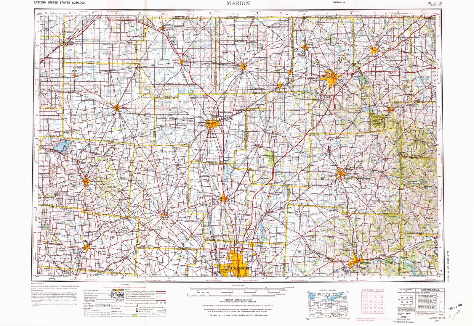
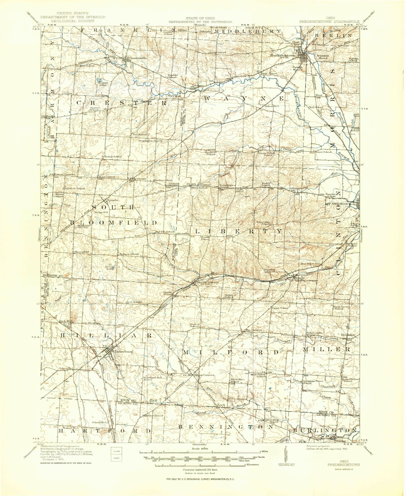
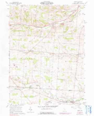
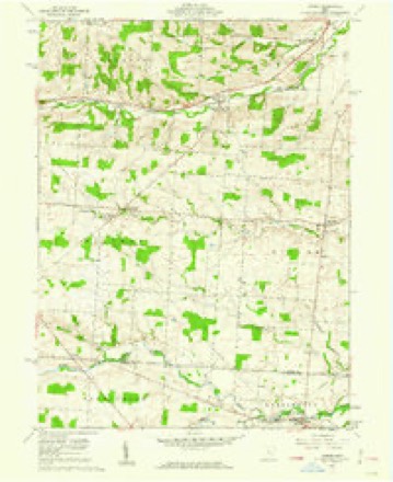
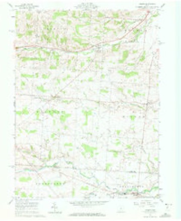
10 topographic sheets cover this place, the earliest surveyed in 1915 and the latest in 1966. It stands in Miller Township. It lies in ZIP code area 43050. The Survey maps it on the Homer quadrangle.
Then and now
1915 to 1966The same ground, surveyed 51 years apart. Drag the handle to wipe between them. Both sheets are United States Geological Survey originals; neither has been altered.
Topographic sheets covering this place
10 sheetsMatched by testing this settlement's coordinate against the published boundary of every sheet in the United States Geological Survey's historical collection. Each opens the scanned sheet at the Survey.
- 1915 USGS Fredericktown quadrangle1:62500
- 1943 USGS Fredericktown quadrangle1:62500
- 1950 USGS Marion quadrangle1:250000
- 1961 USGS Homer quadrangle1:24000
- 1961 USGS Homer quadrangle1:24000
- 1961 USGS Homer quadrangle1:24000
- 1962 USGS Marion quadrangle1:250000
- 1966 USGS Marion quadrangle1:250000
- 1966 USGS Marion quadrangle1:250000
- 1966 USGS Marion quadrangle1:250000





In the county-history sources
13,584 words on this townshipHistory of Knox County, Ohio, Its Past and Present, Containing a Condensed, Comprehensive History of Ohio, Including an Outline History of the Northwest; a Complete History of Knox County ... a Record of Its Soldiers in the Late War; Portraits of Its Early Settlers and Prominent Men ... Biographies and Histories of Pioneer Families, Etc, published 1881 names this settlement in its chapter on Miller Township. These are the passages that mention it, exactly as the scans read.
The first, or northeast quarter of the township, owned by William Stanberry, was divided into twelve lots of two hundred acres each, about 181 5. About 1816 Timothy Colopy and William Colopy, brothers, formerly from Ireland, were the first to locate in the northeast quarter of the township. Timothy purchased lot No. 6. He had a good education, was a man of good natural ability, and much respected by his neighbors.
In 1818 Benjamin Chambers, from Pennsylvania, purchased lot No. 8, on which he lived until his death in 1839. His son Benjamin, who now owns the farm, came here with his father in 1818. His wife, who was Miss Rachel Walker, was born in Morris township, this county, in 1802;* she is the oldest person now living in this township, that was born in Knox county.
Among the first purchasers were James Osborn, lot No. 19, John Osborn, lot No. 32, Thomas Osborn, lot No. 35. William Beadle purchased lots Nos. 24, 25, and 33; Richard Mann and Orville Fosdick the south part, and Thomas Fosdick the north part of location lot; and Dr. Stimpson and Luther Hall, lot No. 12. Of these families, none are living in this township at this time.
Machine-read from a century-old scan, so expect the errors a machine makes: misspelled names, dropped words, stray characters.
Read the whole chapter on Miller Township - it names this place 21 more 21 times.
Specimens collected near this place
12 of 772 shownRegional context, not property-specific evidence. Museums hold 772 specimens collected within 10 miles of Brandon between 1877 and 1975: 725 Animalia, 29 Fungi, 17 Plantae, 1 Protozoa. 12 distinct Species records are shown. Collected by A. P. Morgan, Barker, C. G. Lloyd and others. Each is a physical object with a catalogue number, and each entry opens the museum's record. This is what was collected and kept, not a survey of what lives here - nothing can be concluded from a species being absent.
| Image | Species | Year | Collected by | Where, as recorded |
|---|---|---|---|---|
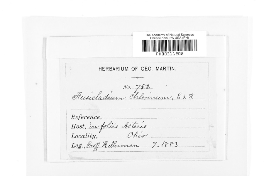 | Fusicladium Bonord. | 1883 | W. A. Kellermann | |
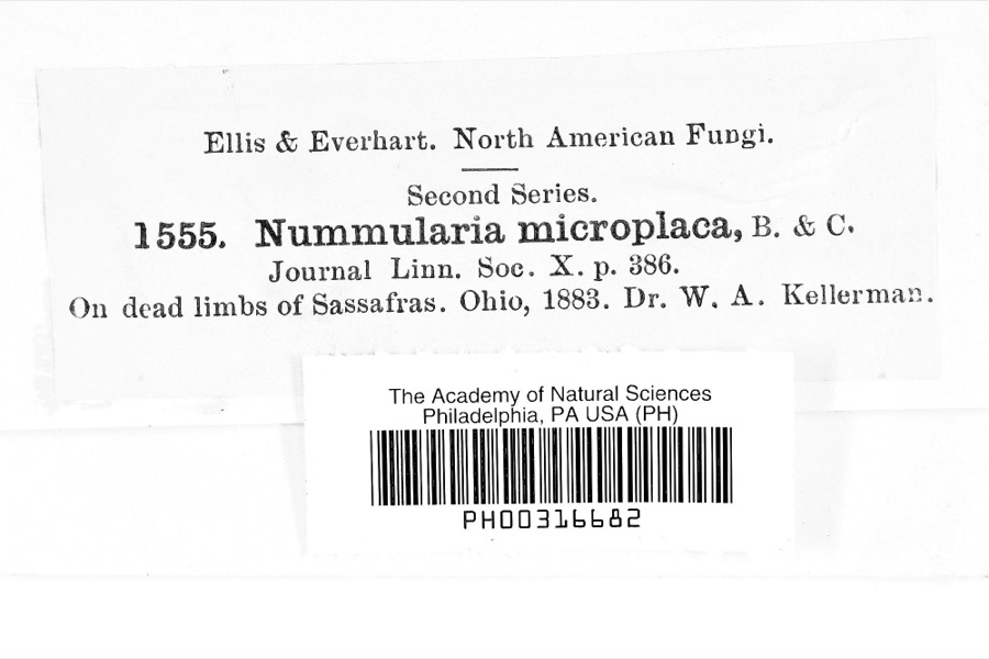 | Nummularia microplaca (Berk. & M.A.Curtis) Cooke | 1883 | Dr. W.A. Kellerman | |
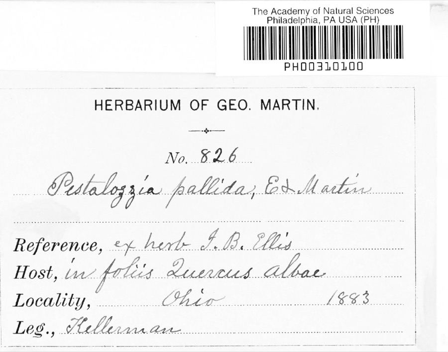 | Pestalotia De Not., 1841 | 1883 | W. A. Kellermann | No locality on label |
 | Sturnella magna magna (Linnaeus, 1758) | 1877 | not recorded | unspecified |
 | Accipiter striatus velox (A.Wilson, 1812) | 1879 | Willard L. Maris | |
 | Gallinula chloropus (Linnaeus, 1758) | 1879 | Porter, J.B. | |
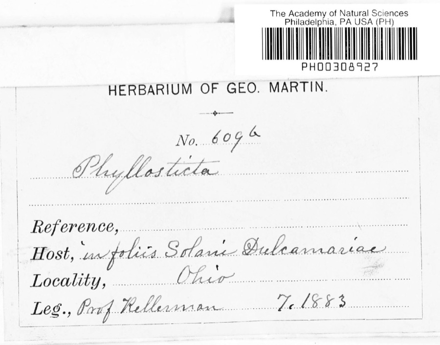 | Phyllosticta Pers., 1818 | 1883 | Kellerman | |
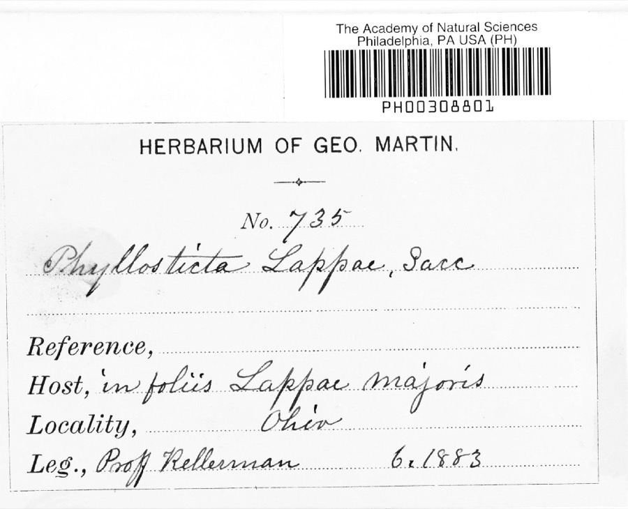 | Phyllosticta lappae Sacc. | 1883 | W. A. Kellermann | |
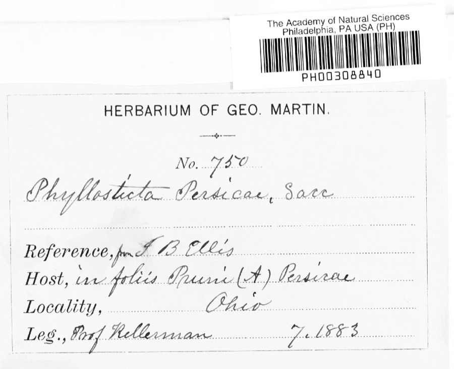 | Phyllosticta persicae Sacc. | 1883 | W. A. Kellermann | |
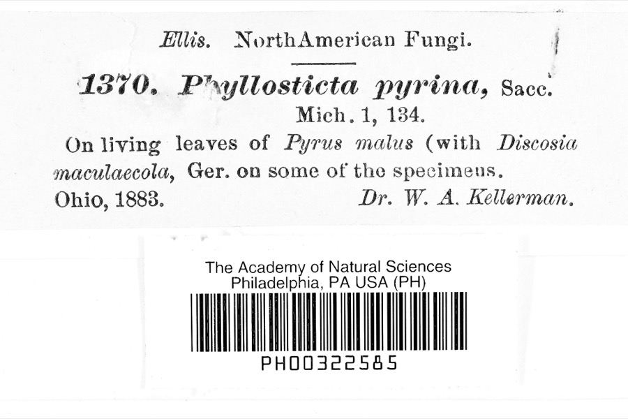 | Phyllosticta pyrina Sacc. | 1883 | Dr. W. A. Kellerman | |
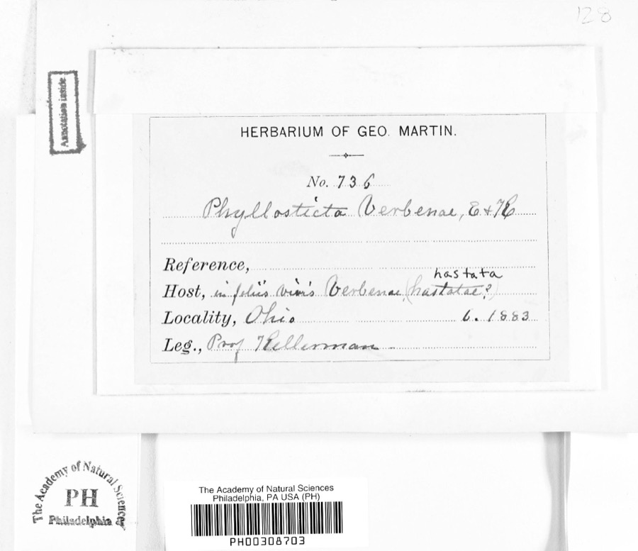 | Phyllosticta verbenae Sacc., 1879 | 1883 | Prof. Kellerman | |
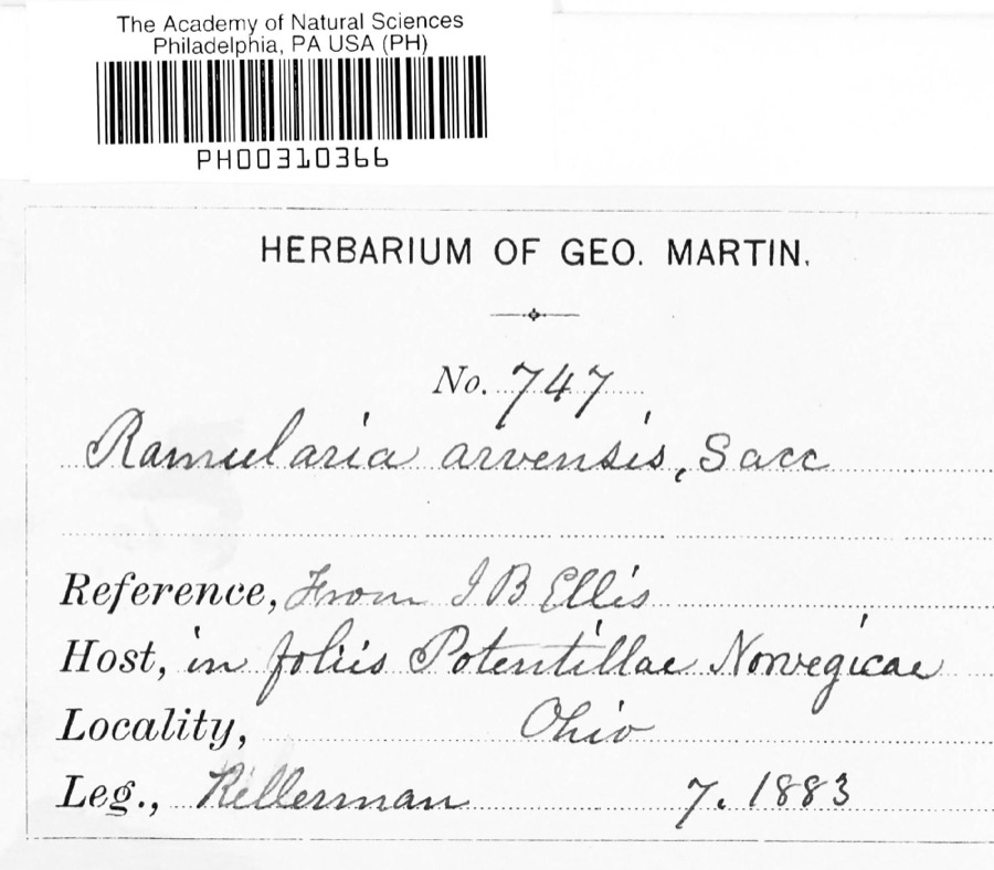 | Ramularia arvensis Sacc. | 1883 | Kellerman |
All 772 specimens within 10 miles, at the Global Biodiversity Information Facility.
Mines and quarries near this place
1 within 5 milesRegional context, not property-specific evidence. The federal mineral resources record lists 1 working within 5 miles of Brandon: 1 producer. All of them still produce. What was taken out: Sand and Gravel, Construction. Distance is straight-line from the map coordinates, so a quarry counted here may appear on a neighbouring settlement's page as well.
| Where | Site | Commodity | Status | Recorded |
|---|---|---|---|---|
| Purdy Pit | Sand and Gravel, Construction | Producer |
Storms near this place
6 since 1998Regional context, not property-specific evidence. The National Weather Service names Brandon in 6 storm reports between 1998 and 2024: 5 thunderstorm wind, 1 tornado. No death or injury is recorded in these reports. Each account below is quoted exactly as the forecast office filed it, from the NOAA Storm Events Database, and each date opens the federal record of that event.
| When | Event | Place named | Harm | What the report says |
|---|---|---|---|---|
| August 1998 | Thunderstorm Wind | Brandon | $75,000 | Numerous trees were downed along with some power poles. Also, some homes were damaged. |
| June 2024 | Tornado (EF0) | Brandon | $30,000 | An EF0 tornado with estimated peak winds of 80 mph formed near County Road 26, south of Sycamore Road in Knox County, where it damaged a large outbuilding and tree limbs. The tornado tracked east-northeastward, caused sporadic tree damage, and removed shingles and siding from residences along Garber Road before crossing Possum Street. Beyond Possum Street, the tornado continued to move east-northeastward, caused minor roof and siding damage to two residences, and an outbuilding sustained garage door damage. The same outbuilding had a portion of its roof torn-off and displaced roughly 100 yards into nearby trees to the east. As the tornado continued to move east-northeastward, it caused additional, sporadic tree damage south of Sycamore Road before the tornado ended near the intersection of Sycamore and Granville Roads in Brandon. |
| June 2010 | Thunderstorm Wind | Brandon | $20,000 | Thunderstorm winds downed a few trees and power lines. |
| June 2000 | Thunderstorm Wind | Brandon | $10,000 | Thunderstorm winds downed at least a dozen trees. |
| June 2013 | Thunderstorm Wind | Brandon | $1,000 | Thunderstorm winds downed a large tree. |
| July 2023 | Thunderstorm Wind | Brandon | - | Several trees downed in Brandon. |
Nearest settlements
The eight closest, with where each one stands in the county. Distances are straight-line, computed from the Geographic Names Information System coordinates.
| Map | Place | Distance | Sheets |
|---|---|---|---|
| Hunt | 2.1 miles | 13 | |
| Bangs | 3.6 miles | 10 | |
| Five Corners | 4.4 miles | 10 | |
| Milfordton | 4.9 miles | 10 | |
| South Mount Vernon | 4.9 miles | 13 | |
| Morgan Center | 5.3 miles | 13 | |
| Vaughan Court | 5.5 miles | 13 | |
| Buckingham Court | 5.7 miles | 13 |
Elsewhere
Matched on this settlement's Geographic Names Information System number rather than its name, so it cannot be a different place of the same name in another state.
| Wikipedia article on Brandon | An encyclopaedic summary. Its text is share-alike, so it is linked here rather than copied. |
| Wikidata item Q22133586 | The structured record the population and elevation above come from. Public domain (CC0). |
Provenance
This settlement is recorded in the Geographic Names Information System as feature 1064481. The sheet list is computed by point-in-boundary test against the United States Geological Survey's historical topographic inventory. Both are works of the United States government and carry no copyright under 17 U.S.C. 105.
Specimens. Global Biodiversity Information Facility (GBIF), https://www.gbif.org/. Only records licensed CC0 or CC BY are used. Records licensed CC BY-NC are excluded because this site carries advertising. Images are checked individually and any whose licence is non-commercial, no-derivatives or unreadable is refused.
Mines and quarries. USGS Mineral Resources Data System (MRDS) https://mrdata.usgs.gov/mrds/ A work of the United States government, no copyright under 17 U.S.C. 105.
Storms. NOAA National Centers for Environmental Information, Storm Events Database https://www.ncei.noaa.gov/stormevents/ A work of the United States government, no copyright under 17 U.S.C. 105. Narratives are quoted verbatim from the National Weather Service report and are not edited or summarised.