BlockBefore
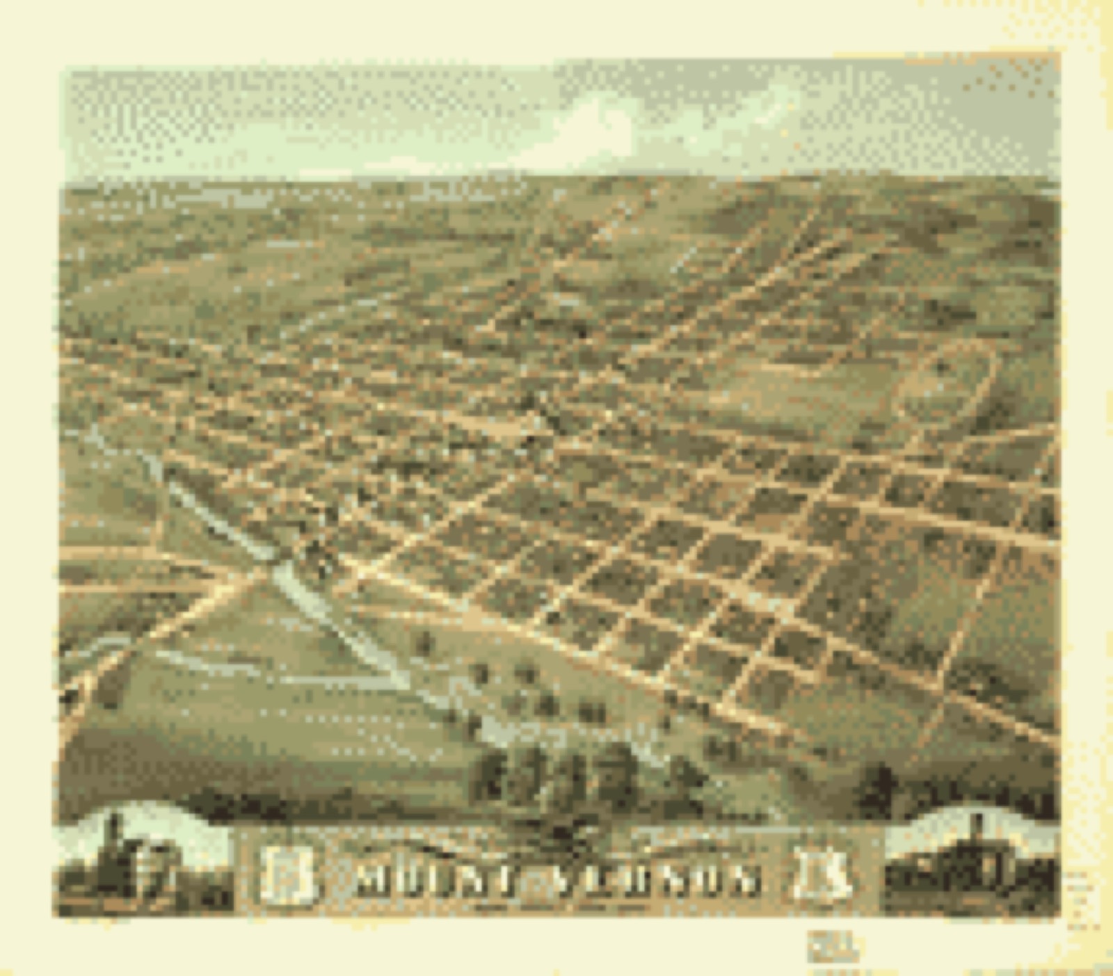
Decorative drawing: a county panorama. Not a photograph of this place.

Knox County, Ohio

71 topographic sheets and 20 fire insurance atlases across 3 places.

Research this county

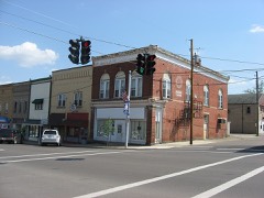
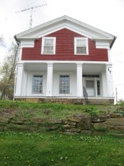
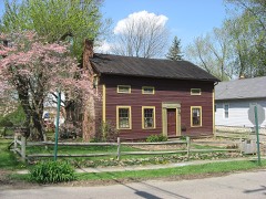
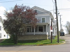
This curated hub for Knox County, Ohio brings together the page's documented record links, visible map or image evidence where published, and routes to related local records.

What is documented here?

Use the page's provenance and linked records to distinguish the source material from the site's navigation and summaries.

How should I cite it?

Open the original record, preserve its repository and identifier, then use the citation tool for this page as a path back to the source.
Where should I go next?

Follow the county or state hub for related places and records, then use the guide for a source-aware research sequence.

From the record

35 National Register listings · 40 businesses named in the fire insurance atlases from 1887 to 1926 · the 1862 county history tells 1 stories and names 13 people · people the book names include Benjamin Critchfield Mrs. Mary Critchfield (Wayne Township, 1881) · S. P. Chase (Pike Township, 1881) (machine-read).
Sources: the county history on the Internet Archive · the National Register database, National Park Service

Ohio within the United States
Knox County within Ohio
Explore by year 1870 1926

What the record shows

  • 3 places in this county were surveyed for fire insurance: Mount Vernon, Centerburg, Fredericktown, between 1887 and 1949.
  • 20 fire insurance atlas(es) survive for the county. Topographic coverage is national; fire insurance survey reached only incorporated places with something worth insuring.
  • 690 topographic sheet readings cover the county's settlements.
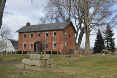
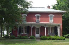
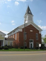
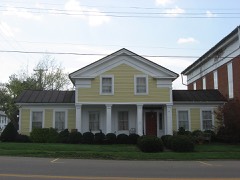
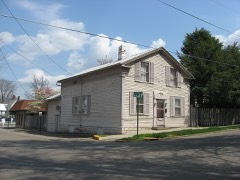
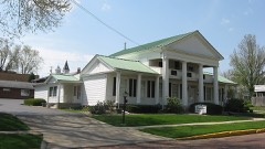
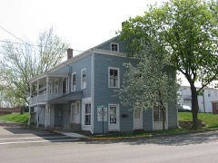
  • 35 properties here are on the National Register of Historic Places, including 21 houses and farms.
  • 30 of the 35 listings were added during the 1970s.
  • The Geographic Names Information System records 58 populated places in this county; 0 are covered by at least one topographic sheet.
  • 3 public-domain county histories, 1862 to 1881, supply 864,084 words of narrative reproduced here in full.

What happened here

1 accounts

A captivity, a drowning, a famine, a man scalped clearing his lot in 1789. These are passages from A History of Knox County, Ohio, from 1779 to 1862 Inclusive; Comprising Biographical Sketches, Anecdotes .., written while people who remembered the events were still alive, and each one opens the section it comes from.

1862, Liberty Township

Sein Alter War 71

Of these children one is renowned as having built Fort Wintermoot, near Wilkesbarre, Pennsylvania. One was said to have been killed in the massacre of the Wyoming, one killed in battle, one uniting his fortunes with the British removed to Canada, where his descendants now reside, near Fort Erie, and who are reputed to be quite wealthy.

Read the rest of this passage

Photographs

7 photographs, 2016

Taken for the Office of War Information and the Farm Security Administration, who photographed the country between 1935 and 1944. Works of United States government photographers, with no known restriction on use. Each opens its catalogue record.

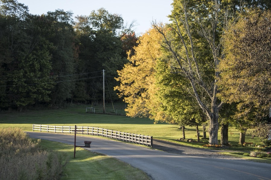
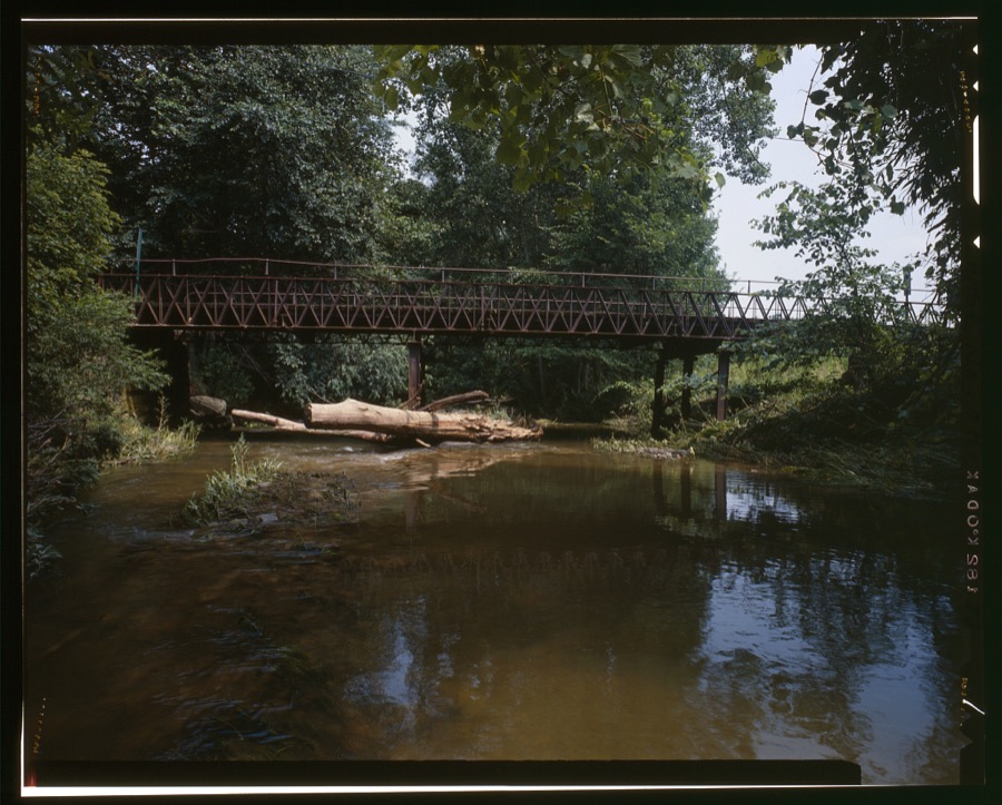
Autumn is upon you in rural Knox County, Ohio, near Danville
Highsmith, Carol M, 2016. Library of Congress
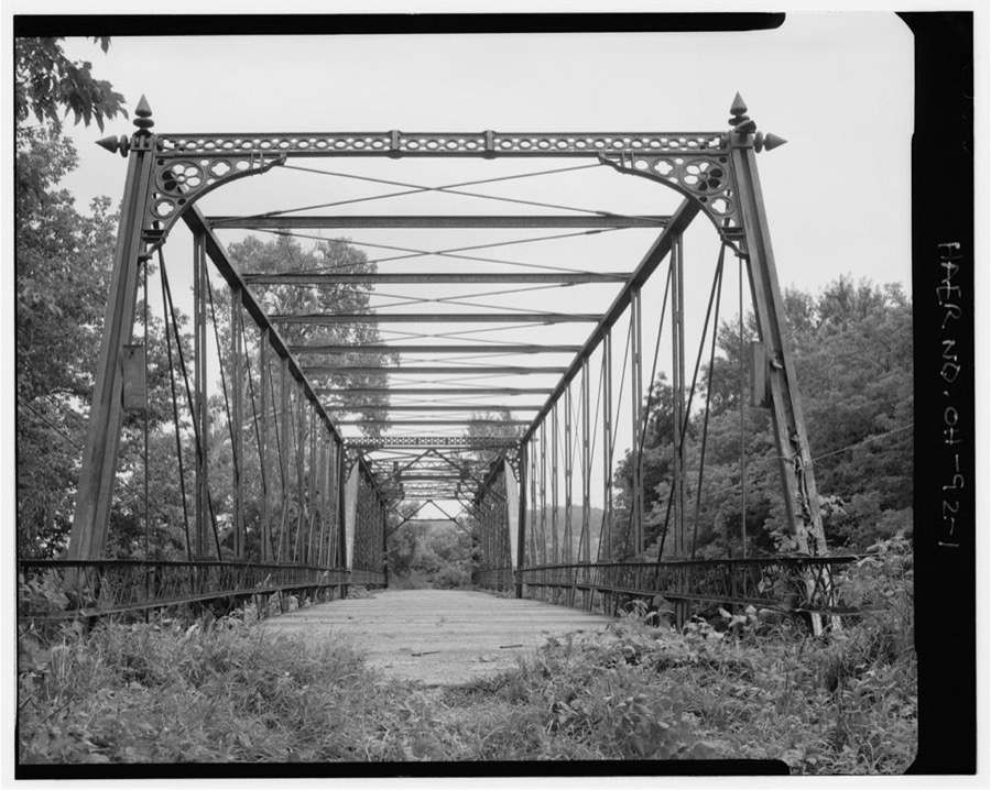
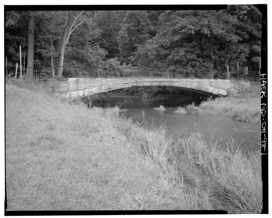
Howard Bridge, County Route 35 spanning Kokosing River, Howard, Knox County, OH
Unattributed, . Library of Congress
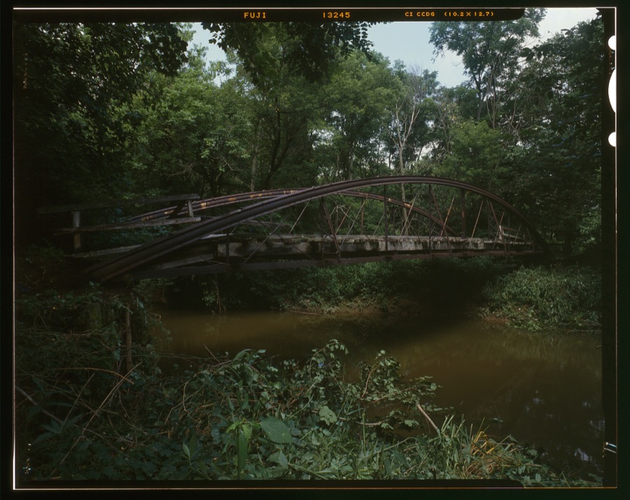
Mill Road Bridge, Township Road 184 spanning Wakatomika Creek, Bladensburg, Knox County, OH
Unattributed, . Library of Congress
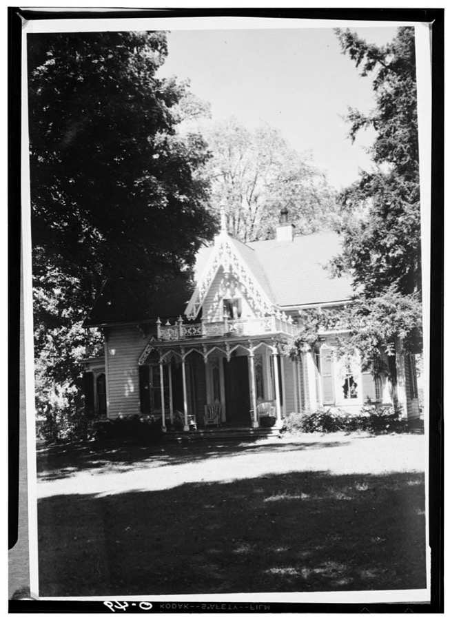
Kenyon College, Peter Neff Cottage, Wiggin Street, Gambier, Knox County, OH
Unattributed, . Library of Congress
Sockman Road Bridge, Spanning Granny Creek on Sockman Road, Fredericktown, Knox County, OH
Unattributed, . Library of Congress
W. H. Pratt Bridge, Spanning tributary North Branch of Kokosing River on Township Road 369, Fredericktown, Knox County, OH
Unattributed, . Library of Congress
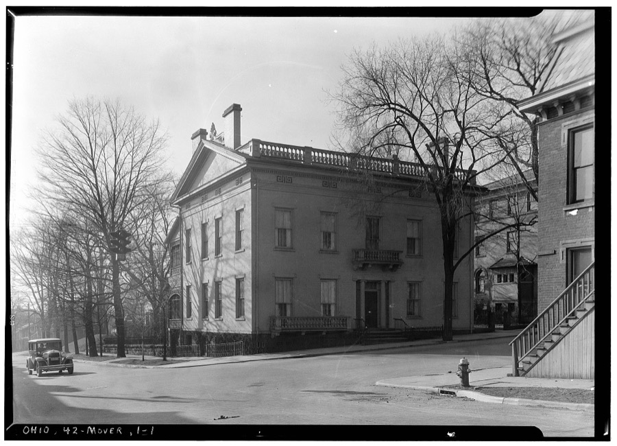
Curtis-Devin House, 101 North Main Street, Mount Vernon, Knox County, OH
Unattributed, . Library of Congress

Places on the National Register

35

Every property in this county listed on the National Register of Historic Places, with the year it was listed and the federal nomination document.

Photograph PropertyType ListedReference
Beers, Samuel, Housebuilding197979003855
Bell Housebuilding197979003856
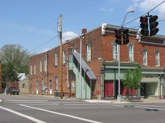
Brick Commercial Blockbuilding197979003857
Burch, William, Housebuilding197979003858
Cassell, Henry, Housebuilding197979003859
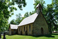
Christ Church At The Quarrybuilding197575001446
Cummings, Wilson S., Housebuilding197979003860
Davis and Dague Grocery Store, Oldbuilding197979003869
Delashment, Elias, Housebuilding197979003861
Early Greek Revival Cottagebuilding197979003862
Early Greek Revival Housebuilding197979003863
Fredericktown Presbyterian Churchbuilding197979003864
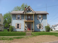
Gothic Revival Housebuilding197979003865
Greek Revival Commercial Buildingbuilding197979003866
Greek Revival Farmhouse, Oldbuilding197979003870
Hosack Housebuilding197979003867
King, Dr., Housebuilding197979003868
Knox County Courthousebuilding197373001484
Knox County Infirmarybuilding198686001567
Kokosing Housebuilding198585000450
Loveridge, Richard and Ann, Housebuilding200909000171
McKee--Pumphrey Housebuilding199595000938
Methodist Church, Oldbuilding197979003871
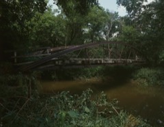
Mill Road Bowstring Bridgestructure197979001869
Mount Liberty Tavernbuilding197474001539
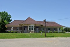
Pennsylvania Depotbuilding197209000100
Reed, James, Housebuilding197979003873
Round Hillbuilding197676001460
Second Hosack Housebuilding197979003874
Sprague--Deaver Housebuilding197979003875
Telephone Building, Oldbuilding197979003872
Thompson, Enoch, Housebuilding198080003107
Tuttle Housebuilding197676001458
Woodward Opera Housebuilding197575001448
Wright, Lyman, Buildingbuilding197979003876

Covered bridges

0

Knox County holds 0 covered bridges on the National Register, more than any other property type here. Each is a listed structure with a federal nomination on file.

Bird's-eye views and land ownership maps

1

Drawn when these were printed as single large sheets: the town seen from the air, and the county divided into its farms with every owner named. Each opens the original at the Library of Congress.

Bird's-eye view, 1870 - Bird's eye view of the city of Mount Vernon, Knox County, Ohio 1870
Bird's-eye view (1870) - Bird's eye view of the city of Mount Vernon, Knox County, Ohio 1870. Library of Congress.

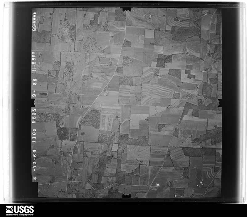
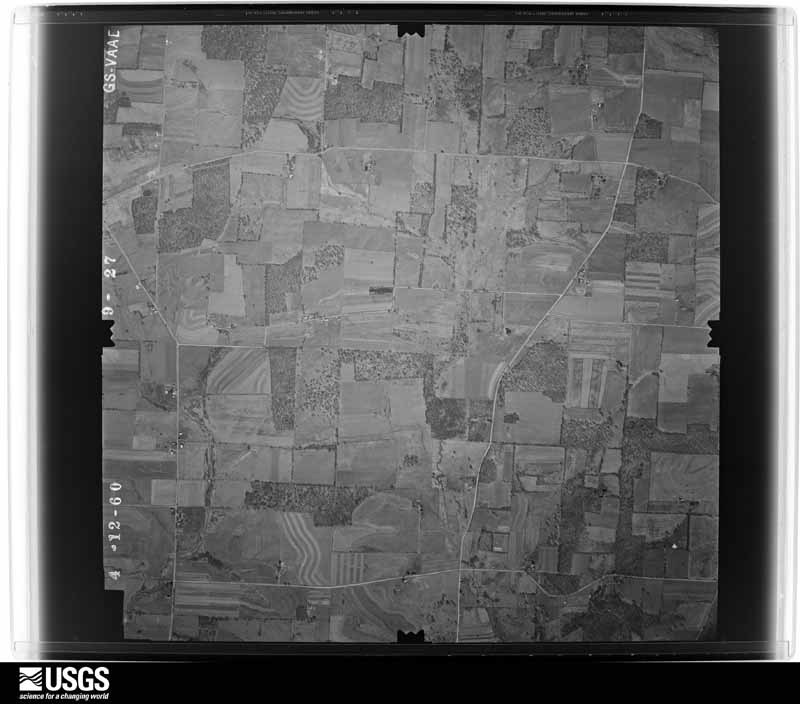
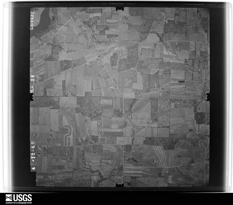
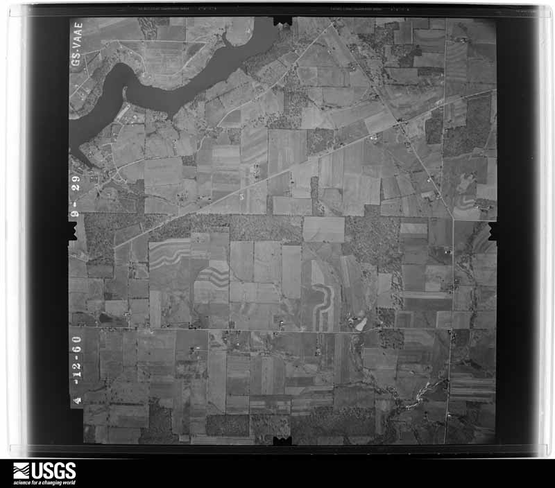
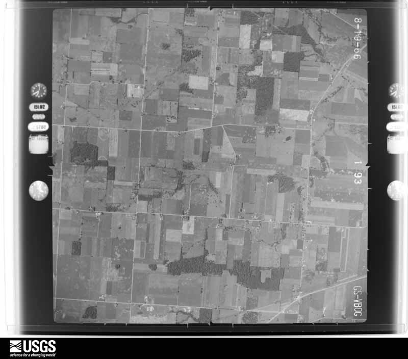
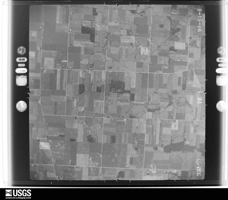
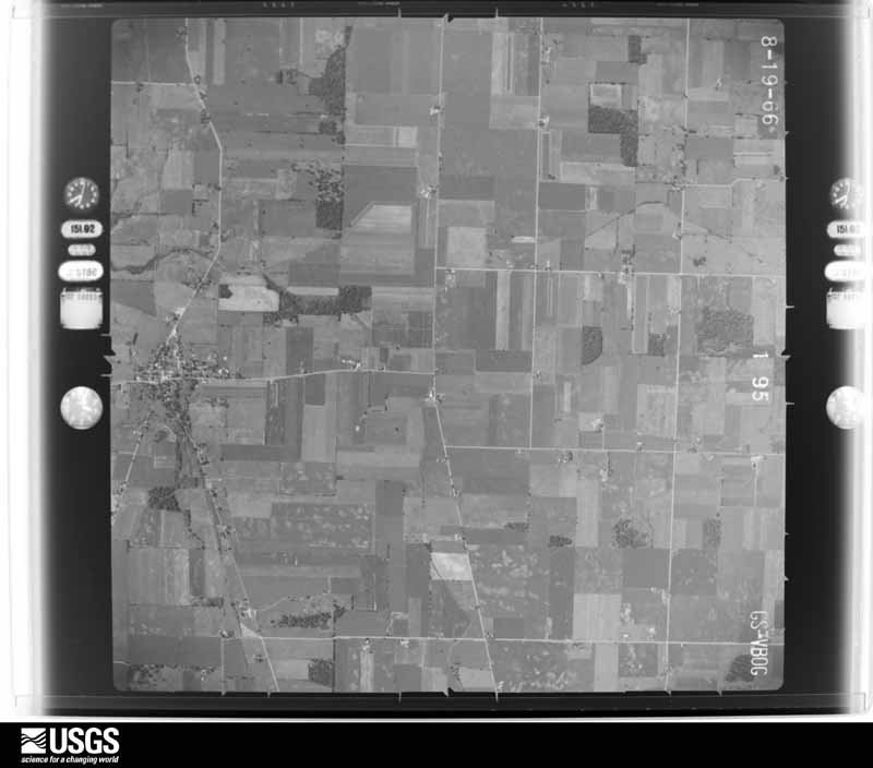
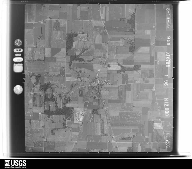
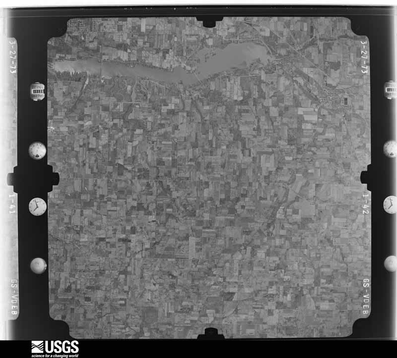
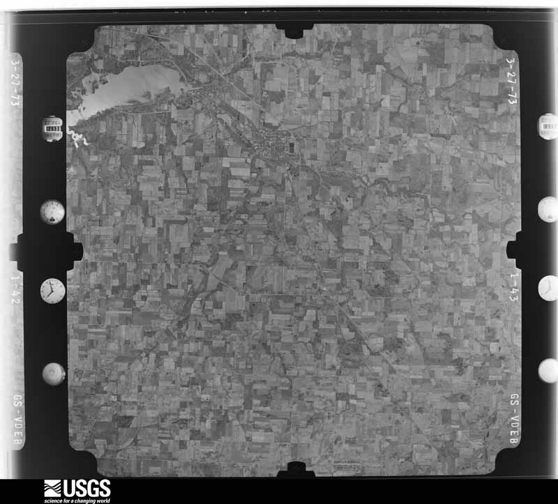
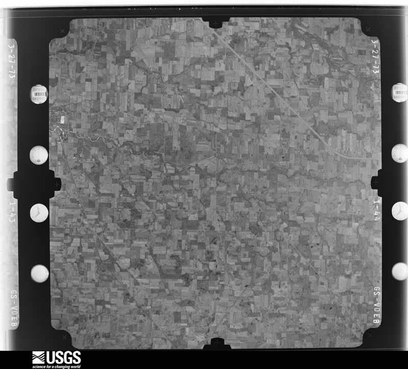
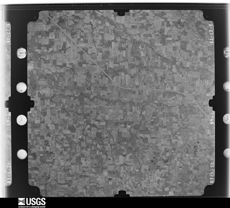
The county from the air

37 of 584 shown

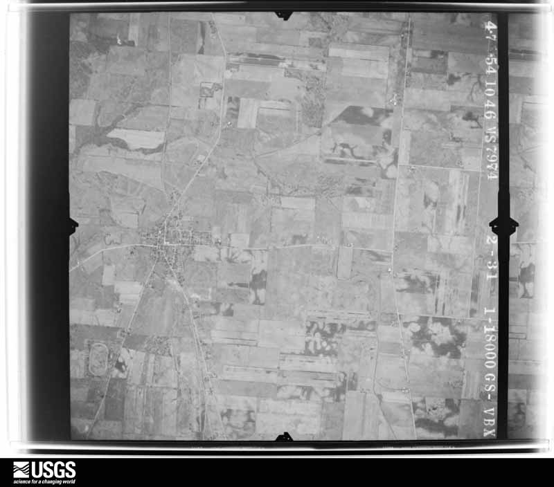
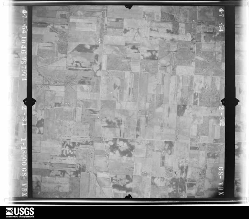
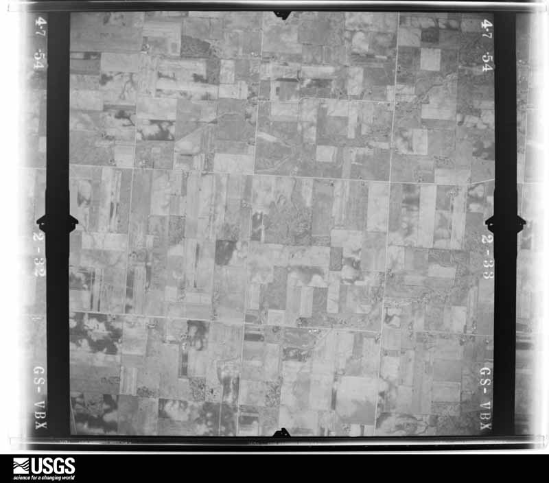
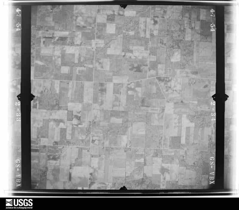
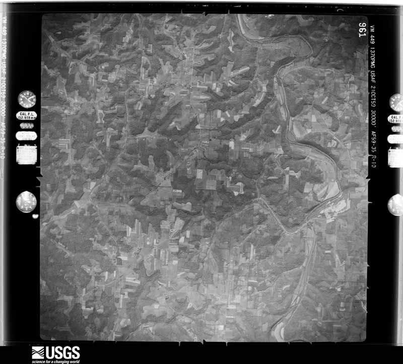
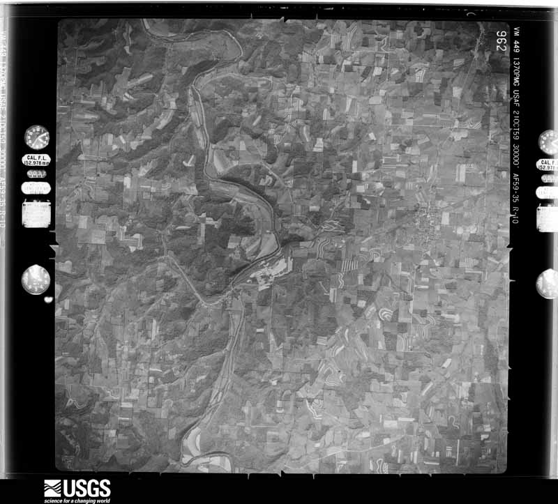
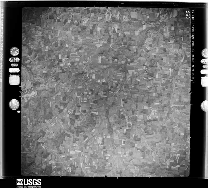
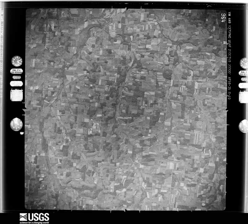
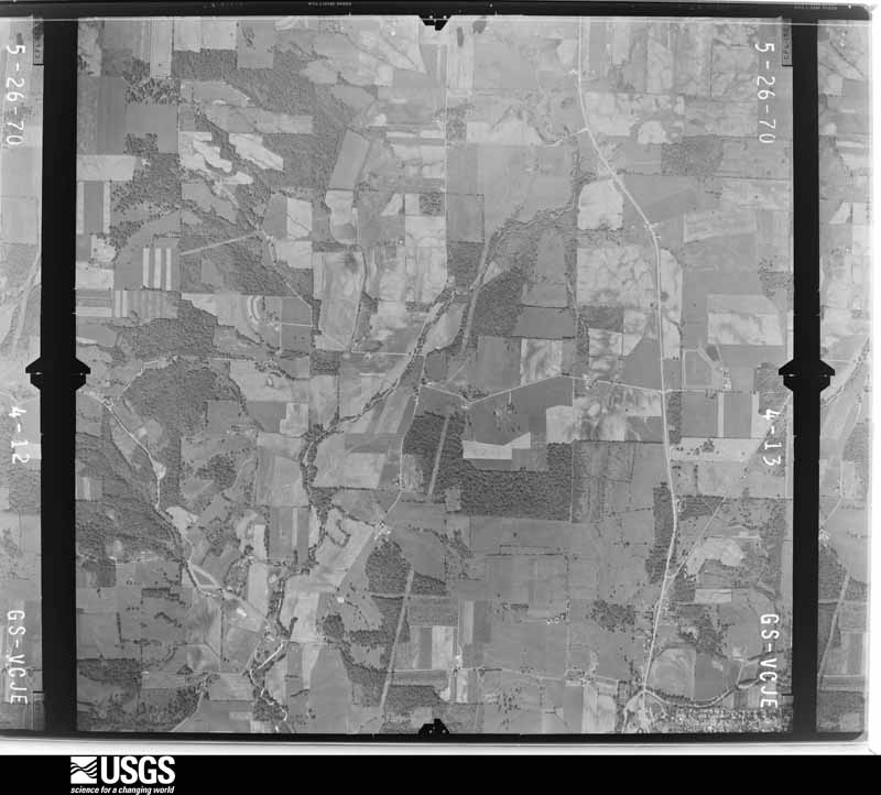
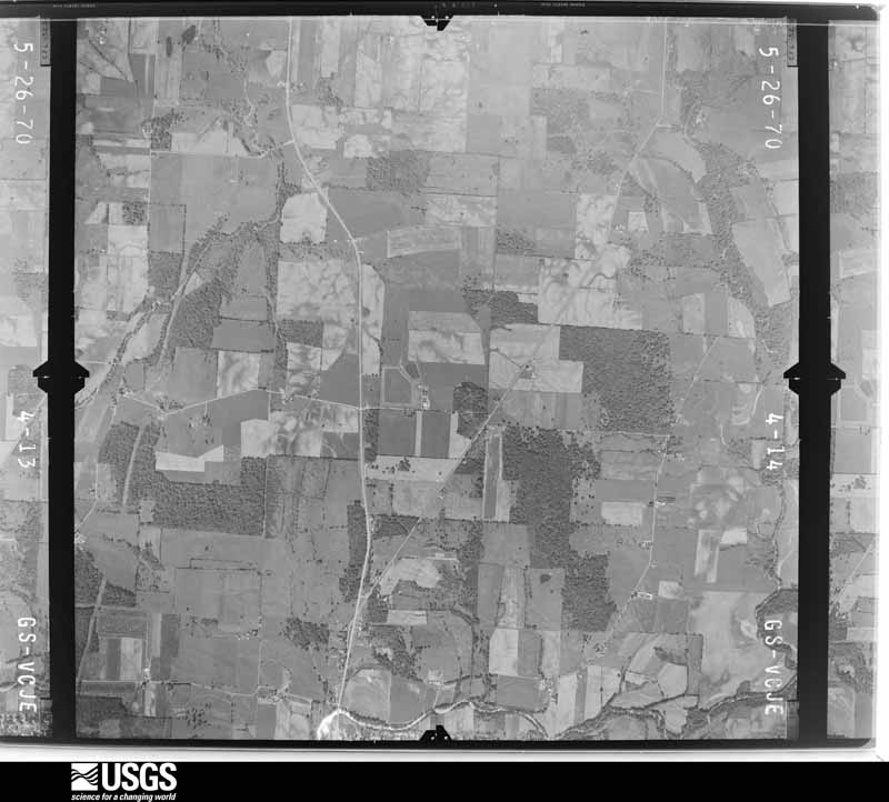
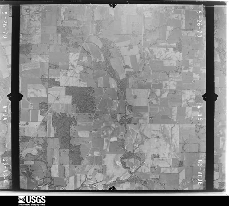
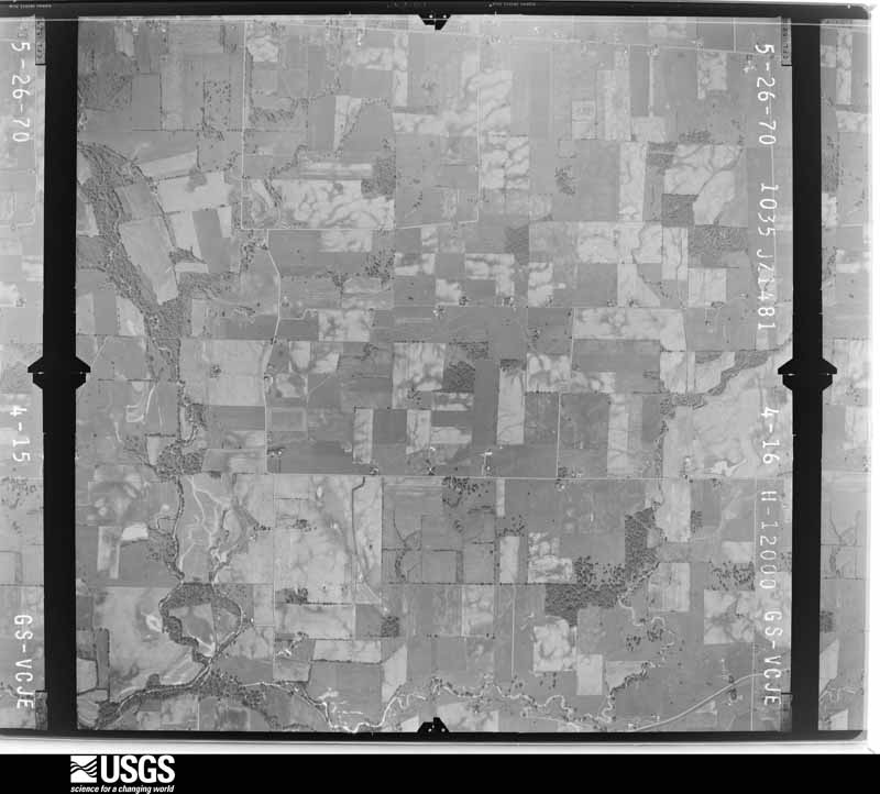
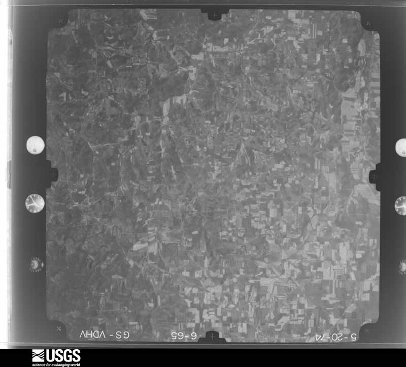
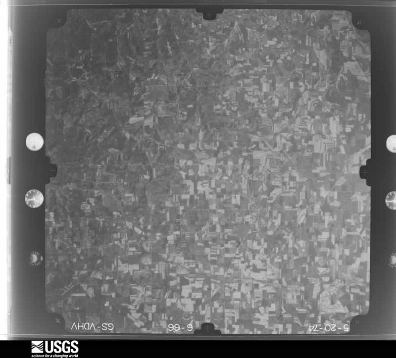
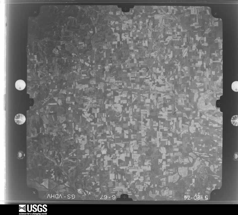
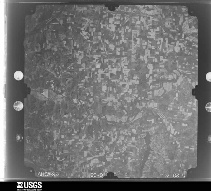
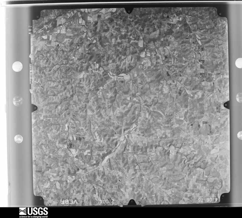
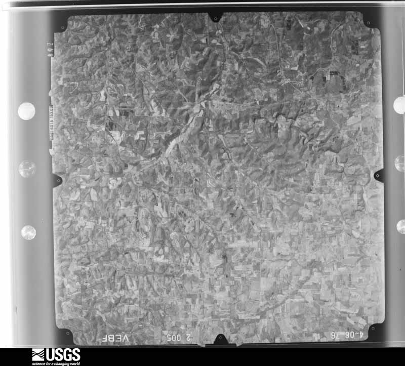
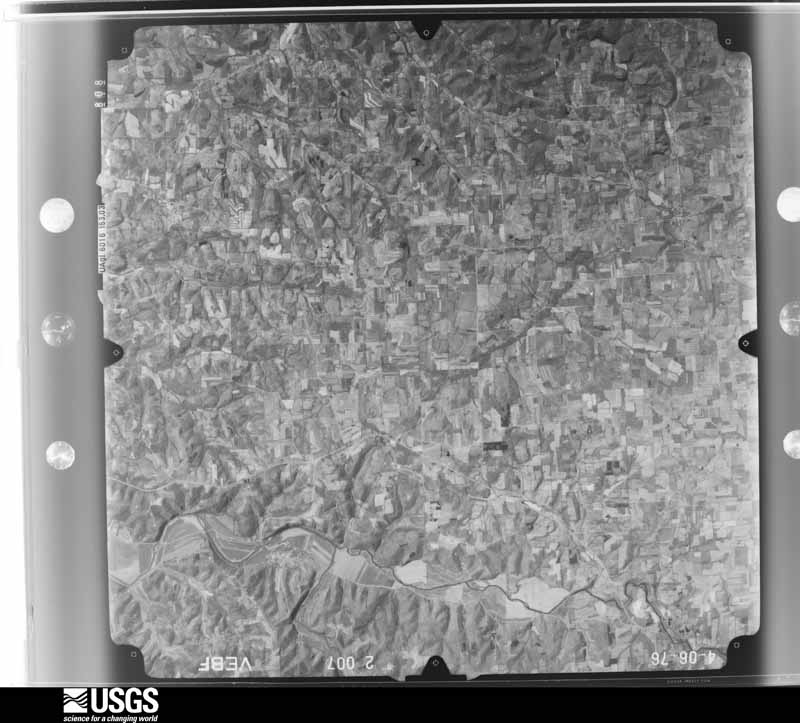
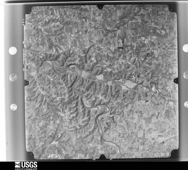
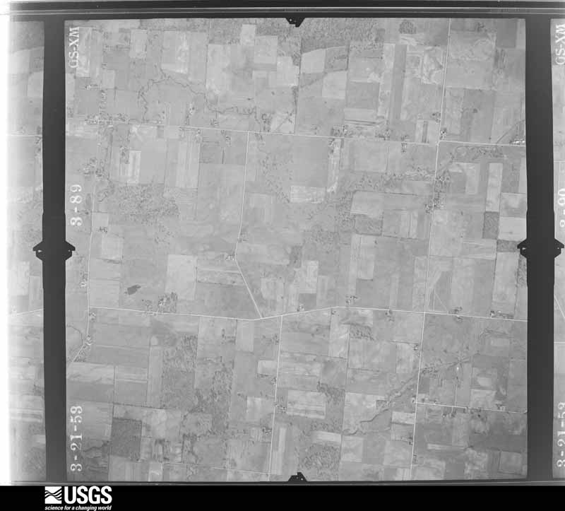
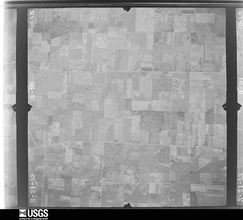
Flown by the U.S. Geological Survey between 1937 and 1989, the Aerial Photo Single Frames collection is the definitive mid-century view of the land: fields, roads and rivers as the camera saw them. 584 frames touch this county; the selection below spreads across the decades of flights (at most four per year), so one flight cannot crowd out the rest. The full set is free to browse and download at EarthExplorer under the dataset Aerial Photo Single Frames.

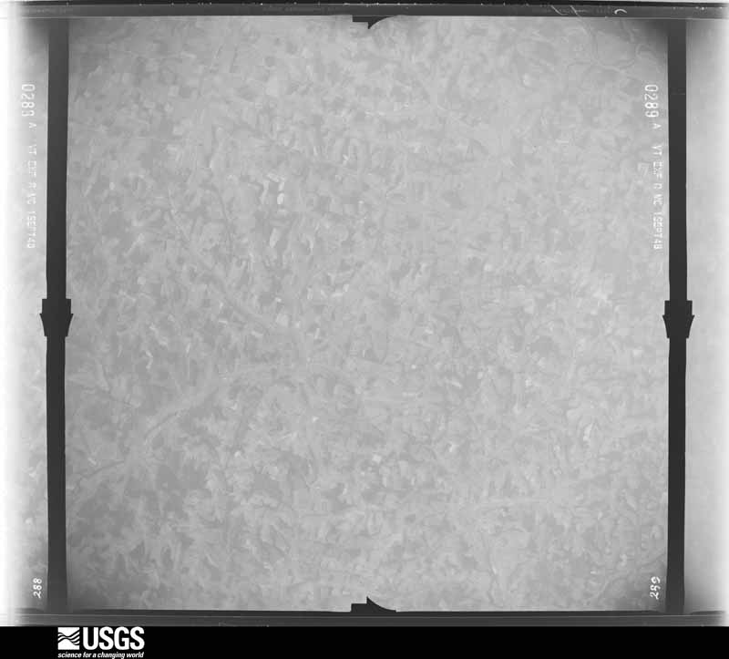
U.S. Geological Survey aerial photograph, 1948-09-01, scale 1:77875
1948-09-01, scale 1:77875. U.S. Geological Survey aerial photograph.
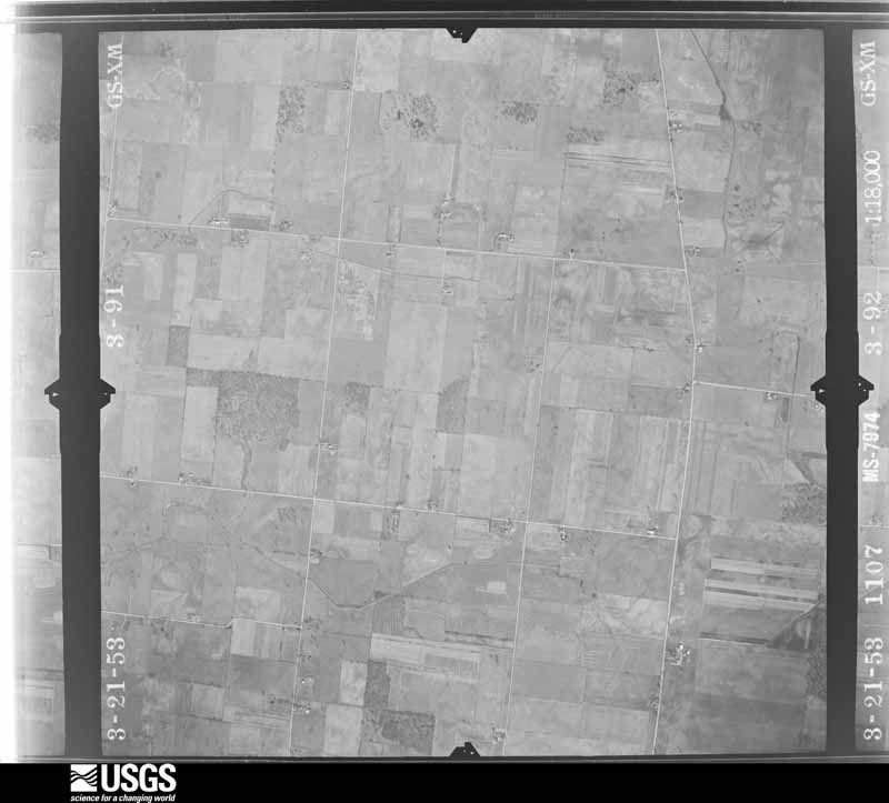
U.S. Geological Survey aerial photograph, 1953-03-01, scale 1:18000
1953-03-01, scale 1:18000. U.S. Geological Survey aerial photograph.
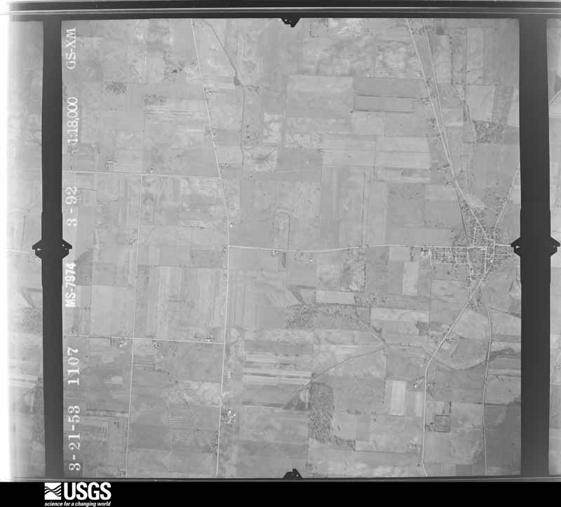
U.S. Geological Survey aerial photograph, 1953-03-01, scale 1:18000
1953-03-01, scale 1:18000. U.S. Geological Survey aerial photograph.
U.S. Geological Survey aerial photograph, 1953-03-01, scale 1:18000
1953-03-01, scale 1:18000. U.S. Geological Survey aerial photograph.
U.S. Geological Survey aerial photograph, 1953-03-01, scale 1:18000
1953-03-01, scale 1:18000. U.S. Geological Survey aerial photograph.
U.S. Geological Survey aerial photograph, 1954-04-09, scale 1:18000
1954-04-09, scale 1:18000. U.S. Geological Survey aerial photograph.
U.S. Geological Survey aerial photograph, 1954-04-09, scale 1:18000
1954-04-09, scale 1:18000. U.S. Geological Survey aerial photograph.
U.S. Geological Survey aerial photograph, 1954-04-09, scale 1:18000
1954-04-09, scale 1:18000. U.S. Geological Survey aerial photograph.
U.S. Geological Survey aerial photograph, 1954-04-09, scale 1:18000
1954-04-09, scale 1:18000. U.S. Geological Survey aerial photograph.
U.S. Geological Survey aerial photograph, 1959-10-21, scale 1:60000
1959-10-21, scale 1:60000. U.S. Geological Survey aerial photograph.
U.S. Geological Survey aerial photograph, 1959-10-21, scale 1:60000
1959-10-21, scale 1:60000. U.S. Geological Survey aerial photograph.
U.S. Geological Survey aerial photograph, 1959-10-21, scale 1:60000
1959-10-21, scale 1:60000. U.S. Geological Survey aerial photograph.
U.S. Geological Survey aerial photograph, 1959-10-21, scale 1:60000
1959-10-21, scale 1:60000. U.S. Geological Survey aerial photograph.
U.S. Geological Survey aerial photograph, 1960-04-12, scale 1:17000
1960-04-12, scale 1:17000. U.S. Geological Survey aerial photograph.
U.S. Geological Survey aerial photograph, 1960-04-12, scale 1:17000
1960-04-12, scale 1:17000. U.S. Geological Survey aerial photograph.
U.S. Geological Survey aerial photograph, 1960-04-12, scale 1:17000
1960-04-12, scale 1:17000. U.S. Geological Survey aerial photograph.
U.S. Geological Survey aerial photograph, 1960-04-12, scale 1:17000
1960-04-12, scale 1:17000. U.S. Geological Survey aerial photograph.
U.S. Geological Survey aerial photograph, 1966-08-19, scale 1:24000
1966-08-19, scale 1:24000. U.S. Geological Survey aerial photograph.
U.S. Geological Survey aerial photograph, 1966-08-19, scale 1:24000
1966-08-19, scale 1:24000. U.S. Geological Survey aerial photograph.
U.S. Geological Survey aerial photograph, 1966-08-19, scale 1:24000
1966-08-19, scale 1:24000. U.S. Geological Survey aerial photograph.
U.S. Geological Survey aerial photograph, 1966-08-19, scale 1:24000
1966-08-19, scale 1:24000. U.S. Geological Survey aerial photograph.
U.S. Geological Survey aerial photograph, 1970-06-07, scale 1:24000
1970-06-07, scale 1:24000. U.S. Geological Survey aerial photograph.
U.S. Geological Survey aerial photograph, 1970-06-07, scale 1:24000
1970-06-07, scale 1:24000. U.S. Geological Survey aerial photograph.
U.S. Geological Survey aerial photograph, 1970-06-07, scale 1:24000
1970-06-07, scale 1:24000. U.S. Geological Survey aerial photograph.
U.S. Geological Survey aerial photograph, 1970-06-07, scale 1:24000
1970-06-07, scale 1:24000. U.S. Geological Survey aerial photograph.
U.S. Geological Survey aerial photograph, 1973-10-01, scale 1:76000
1973-10-01, scale 1:76000. U.S. Geological Survey aerial photograph.
U.S. Geological Survey aerial photograph, 1973-10-01, scale 1:76000
1973-10-01, scale 1:76000. U.S. Geological Survey aerial photograph.
U.S. Geological Survey aerial photograph, 1973-10-01, scale 1:76000
1973-10-01, scale 1:76000. U.S. Geological Survey aerial photograph.
U.S. Geological Survey aerial photograph, 1973-10-01, scale 1:76000
1973-10-01, scale 1:76000. U.S. Geological Survey aerial photograph.
U.S. Geological Survey aerial photograph, 1974-05-01, scale 1:76000
1974-05-01, scale 1:76000. U.S. Geological Survey aerial photograph.
U.S. Geological Survey aerial photograph, 1974-05-01, scale 1:76000
1974-05-01, scale 1:76000. U.S. Geological Survey aerial photograph.
U.S. Geological Survey aerial photograph, 1974-05-01, scale 1:76000
1974-05-01, scale 1:76000. U.S. Geological Survey aerial photograph.
U.S. Geological Survey aerial photograph, 1974-05-01, scale 1:76000
1974-05-01, scale 1:76000. U.S. Geological Survey aerial photograph.
U.S. Geological Survey aerial photograph, 1976-04-01, scale 1:80000
1976-04-01, scale 1:80000. U.S. Geological Survey aerial photograph.
U.S. Geological Survey aerial photograph, 1976-04-01, scale 1:80000
1976-04-01, scale 1:80000. U.S. Geological Survey aerial photograph.
U.S. Geological Survey aerial photograph, 1976-04-01, scale 1:80000
1976-04-01, scale 1:80000. U.S. Geological Survey aerial photograph.
U.S. Geological Survey aerial photograph, 1976-04-01, scale 1:80000
1976-04-01, scale 1:80000. U.S. Geological Survey aerial photograph.

City directories

3 volumes

The "who lived here, by year" answer: pre-1929 public-domain directory volumes naming the county's people, machine-read and searchable as text.

Weather records

14 stations, 6 gages

The thermometers that kept this county's weather, and the gages that watched its rivers, as the federal records hold them. The extremes below are measured values from those records, not estimates.

The 1950 census, district by district

56 districts

Who lived here in 1950, one enumeration district at a time, as the Census Bureau described each district. Each row opens its official National Archives result, with Population Schedules and ED Maps available there.

  • 42-1Berlin township
  • 42-2Brown township
  • 42-3Butler township
  • 42-4Clay township: Martinsburg village
  • 42-5Clay township - That part outside Martinsburg village
  • 42-6Mount Vernon city, comprising parts of Clinton, Monroe and Pleasant townships: Mount Vernon city - That part of Ward 1, in Clinton township Bounded by E. High; Township line, City limits; Gambier Ave.; S. Division
  • 42-7Mount Vernon city - That part of Ward 1, in Clinton township, excluding Curtis Hotel Bounded by Ward line, E. High; S. Division, City limits; Kokosing River; S. Main, Ward line
  • 42-8Curtis Hotel (Mount Vernon city, Ward 1, Clinton township)
  • 42-9Mount Vernon city - That part of Ward 1, in Clinton township Bounded by Gambier Ave.; City limits; City limits; S. Division
  • 42-10Mount Vernon city - That part of Ward 1, in Clinton township Bounded by Kokosing River; City limits; Martinsburg Rd.; S. Main
  • 42-11Mount Vernon city - That part of Ward 1, in Clinton township Bounded by Columbus Rd.; S. Main, Martinsburg Rd.; City limits; City limits
  • 42-12Mount Vernon city - That part of Ward 2, in Clinton township Bounded by W. Chestnut; N. Main, Ward line, S. Main; Columbus Rd., City limits; S. Norton, N. Norton
  • 42-13Mount Vernon city - That part of Ward 2, in Clinton township Bounded by Ward line, W. Chestnut; N. Norton, S. Norton; W. Gambier; City limits
  • 42-14Mount Vernon city - That part of Ward 2, in Clinton township Bounded by W. Gambier; S. Norton, City limits; City limits; City limits
  • 42-15Mount Vernon city - That part of Ward 3, in Clinton township Bounded by City limits; N. Catherine; E. High; Park
  • 42-16N/A
  • 42-17Mount Vernon city - That part of Ward 3, in Clinton township Bounded by City limits; City limits, Park; E. Burgess; N. Main, Cemetery Rd., Ward line
  • 42-18Mount Vernon city - That part of Ward 3, in Clinton township Bounded by E. Burgess; Park; E. High, Ward line; Ward line, N. Main
  • 42-19Mount Vernon city - That part of Ward 4, in Clinton township Bounded by City limits; Ward line, Cemetery Rd.; W. Curtis; N. Sandusky
  • 42-20Mount Vernon city - That part of Ward 4, in Clinton township Bounded by W. Curtis; N. Main; W. Chestnut; N. Sandusky
  • 42-21Mount Vernon city - That part of Ward 4, in Clinton township Bounded by City limits; N. Sandusky; W. Chestnut; N. Jefferson, City limits
  • 42-22Mount Vernon city - That part of Ward 4, in Clinton township Bounded by City limits; N. Jefferson; W. Chestnut, Ward line; City limits
  • 42-23Mount Vernon city - That part of Ward 1, in Monroe township Bounded by E. High; City limits; Township line; Township line
  • 42-24Mount Vernon city - That part of Ward 3, in Monroe township Bounded by City limits; City limits; E. High; Township line
  • 42-25Mount Vernon city - That part of Ward 1, in Pleasant township Bounded by Township line; City limits; City limits; Township line
  • 42-26Clinton township, outside Mount Vernon city: South Mt. Vernon, unincorporated (See boundaries shown on aerial photo CLW-7A-2)
  • 42-27North Mt. Vernon, unincorporated Bounded by Township line; Township line; Mount Vernon city limits; Mount Vernon city limits, Mansfield Road (County Hwy. #5)
  • 42-28Clinton township - That part northwest of State Hwy. 3, outside Mount Vernon city and the unincorporated places of South Mt. Vernon and North Mt. Vernon (See separate map for boundaries of North Mt. Vernon, and aerial photo CLW-7A-2 for boundaries of South Mt. Vernon
  • 42-29Clinton township - That part west of State Hwy. 661 and southeast of State Hwy. 3, outside Mount Vernon city and the unincorporated place of South Mt. Vernon (See aerial photo CLW-7A-2 for boundaries of South Mt. Vernon)
  • 42-30Clinton township - That part east of State Hwy. 661, outside Mount Vernon city (Remainder of Clinton township is in Mount Vernon city)
  • 42-31College township: Gambier village: Gambier village - That part north of Wiggins
  • 42-32Gambier village - That part south of Wiggins
  • 42-33College township - That part outside Gambier village
  • 42-34Harrison township
  • 42-35Hilliar township: Centerburg village
  • 42-36Hilliar township - That part outside Centerburg village
  • 42-37Howard township
  • 42-38Jackson township
  • 42-39Jefferson township
  • 42-40Liberty township
  • 42-41Middlebury township
  • 42-42Milford township
  • 42-43Miller township
  • 42-44Monroe township, outside Mount Vernon city: Monroe township - That part outside Mount Vernon city, excluding Ohio State Sanitorium
  • 42-45Ohio State Sanitorium (In Monroe township) (Remainder of Monroe township is in Mount Vernon city)
  • 42-46Morgan township
  • 42-47Fredericktown village, comprising parts of Morris and Wayne townships: Fredericktown village - That part in Morris township
  • 42-48Fredericktown village - That part in Wayne township north of Sandusky
  • 42-49Fredericktown village - That part in Wayne township south of Sandusky
  • 42-50Morris township - That part outside Fredericktown village (Remainder of Morris township is in Fredericktown village)
  • 42-51Pike township
  • 42-52Pleasant township - That part outside Mount Vernon city (Remainder of Pleasant township is in Mount Vernon city)
  • 42-53Union township: Danville village
  • 42-54Gann village
  • 42-55Union township - That part outside Danville and Gann villages
  • 42-56Wayne township - That part outside Fredericktown village (Remainder of Wayne township is in Fredericktown village)

Businesses named in the atlases

40 businesses

Every Sanborn volume opens with a printed index naming the town's mills, tanneries, hotels and works by proprietor. Those indexes were read off the scanned sheets by machine and then matched to each other, so a business surveyed four times appears here once, with the years it survived. 10 of these 40 were named in more than one atlas. Each carries a crop of the line it was read from: the spelling is the recogniser's and the 1880s lithographer's, and the scan behind it is the proof.

Wildfire, 2004 to 2020

101 fires

Every wildfire the federal occurrence database records inside this county: 101 of them, burning about 103 acres. 1 started naturally and 8 were recorded as arson. Each settlement page carries the fires within five miles of it.

Reported cause Fires
Debris and open burning61
Missing data/not specified/undetermined15
Arson/incendiarism8
Equipment and vehicle use7
Recreation and ceremony6
Power generation/transmission/distribution3
Natural1

The five largest, by the area the report gives. None of them was recorded as arson.

DateCause SizeReported by Name on the report
7 April 2013Debris and open burning15 acresOhio Department of Natural Resourcesnot named
6 April 2015Recreation and ceremony10 acresOhio Department of Natural Resources722
9 May 2018Power generation/transmission/distribution9.0 acresOhio Department of Natural Resources12348
1 December 2012Missing data/not specified/undetermined5.5 acresOhio Department of Natural Resourcesnot named
28 April 2015Debris and open burning5.0 acresOhio Department of Natural Resources1089
18 November 2019Equipment and vehicle use4.0 acresOhio Department of Natural Resources15336
9 November 2020Debris and open burning4.0 acresOhio Department of Natural Resources15921
20 July 2017Equipment and vehicle use3.0 acresOhio Department of Natural Resources8566

Every settlement page carries the fires within five miles of it - see the settlement index below.

Storms, 1957 to 2026

60 of 368 shown

The NOAA Storm Events Database holds 368 reports for this county, causing 1 death, 23 injuries and about $19,443,506 in recorded property damage. Each settlement page carries the reports that name it.

Kind of event Reports
Thunderstorm Wind241
Hail80
Flash Flood20
Tornado14
Flood9
Lightning2
Heavy Rain1
Winter Weather1

The most serious of them, by death, then injury, then recorded damage. The accounts are quoted exactly as the forecast office filed them.

WhenEvent Place namedHarm What the report says
July 2002Thunderstorm WindHoward1 killed, 4 hurt, $50,000Thunderstorm winds downed many trees near Apple Valley Lake in northeastern Knox County. A vehicle travelling on U.S. 36 just west of Howard was struck by a falling tree. A two year old female inside the car was killed and four other occupants were seriously injured.
April 1982Tornado (F2)not stated9 hurt, $250,000no account filed
March 1982Tornado (F2)not stated4 hurt, $250,000no account filed
June 1981Tornado (F2)not stated2 hurt, $250,000no account filed
June 1995Thunderstorm WindMount Vernon1 hurt, $700,000A downburst with winds as high as 90 mph downed hundreds of trees, some on structures and vehicles. Signs were blown down and some windows were broken and minor roof damage occurred to several buildings. A dog was electrocuted when a live power line fell onto the dogbox. A man was injured by a falling tree limb and another man, sleeping in his bedroom, escaped injury when a large limb crashed through his ceiling missing him by inches. Three state highways where closed until storm debris could be removed, one for over 24 hours.
August 2006Tornado (F0)Mt Vernon1 hurt, $325,000A F0 tornado touched down briefly on the west side of Mt. Vernon during the afternoon hours of August 3rd. The tornado touched down along Harcourt Road (State Route 3) around 4:25 pm and damaged four businesses. A lumber yard on the west side of the road saw the most significant damage. A pole building used for storing lumber and supplies was destroyed. Most of the materials inside the building were also destroyed. Over a dozen vehicles at an automobile dealership across the street were damaged by flying debris. One employee at the dealership sustained minor injuries from the flying debris. Damage at the dealership was estimated to be at least $100,000. Two other businesses in the area sustained lesser damages. The tornado appeared to be on the ground for a couple hundred feet and had a damage path no more than 50 feet in width.
April 1970Tornado (F2)not stated1 hurt, $250,000no account filed
July 2017Thunderstorm WindPipesville1 hurt, $75,000Thunderstorm winds downed a large tree on Grove Church Road east of Gambier. The tree landed on a house causing extensive damage and injuring an 83 year old woman inside. The woman was transported to a hospital for treatment.
July 2006Flash FloodNortheast Portion$3,500,000Heavy thunderstorm rains fell on the northeastern corner of Knox County during the afternoon and early evening hours of July 10th. A spotter near the intersection of State Route 3 and College Hill Road (just south of the Ashland County line) measured a storm total of 7.5 inches. Up to 7 inches of rain was reported in the Danville area with 5.5 inches of this total falling between 3 and 5 p.m. Both the Mohican River and Jelloway Creek quickly went into flood and caused considerable damage. Runoff from the heavy rains caused the Mohican River to rise more than a foot per hour through the evening hours. Campgrounds along Wally Road were especially hard hit by flooding from the Mohican River. Dozens of mobile homes and campers were damaged or destroyed. Hundreds of campers from several campgrounds had to be evacuated from the rapidly rising waters. Several landslides along Wally Road hampered the evacuations which continued through the evening hours. Homes near Greer were also affected by flooding from the Mohican River, and State Route 514 had to closed southwest of the town. A lot of flooding also occurred in and near Jelloway after Jelloway Creek went into flood. Four families had to be evacuated from homes along State Route 205 south of Jelloway. Other evacuations occurred along Howard-Danville Road southwest of Danville. Shadley Valley Creek also went into flood prompting several evacuations along Shadley Valley Road. Bridges were washed out on College Hill Road and Pealer Mill Road. At least five roads were washed out in the northeastern corner of the county. Over two dozen roads had to be closed because of flooding. Dozens of homes in the county sustained damage from basement or nuisance flooding.
June 1998Flash FloodCountywide$3,000,000Continuing heavy thunderstorm rains brought major flooding, which continued in many areas through the day. Approximately one hundred people were evacuated from their homes. A number of people were trapped by the rising flood waters in vehicles and buildings and had to be rescued. At least nine bridges were washed out; roads were washed away. Many buildings and crops were damaged and several buildings were destroyed.
June 1998Flash FloodCountywide$3,000,000Another round of thunderstorms with torrential rains produced additional flooding and contributed to ongoing flooding. Many roads were closed or remained closed. Forty families had to be evacuated from their homes. Before the thunderstorms moved away 10 inches or more of rainfall had occurred since early morning. Flood waters persisted in some areas for several days. The county was declared a state and federal disaster area.
June 2012Thunderstorm WindWaterford$1,400,000An intense line of thunderstorms or Derecho moved across Knox County during the late afternoon of June 29th causing extensive damage. Winds were estimated to be as much as 65 mph. Over 50 percent of residents lost power during this event. Power was not completely restored for several days. Hundreds of trees were downed across the county along with many utility poles forcing the closure of some of roads and streets. Damage to homes and buildings was also extensive. Dozens of homes and buildings lost roofing or siding with many other homes damaged by fallen trees. Clean up costs were extensive. The clean up was hampered by an ongoing heat wave with afternoon temperatures in the upper 90s. Significant crop losses are also expected. Damage from this storm was comparable to the remnants of Hurricane Ike in September 2008.
May 2004Flash FloodCountywide$600,000A line of severe thunderstorms moved across Knox County and dumped heavy rains on already saturated ground. Spotters reported between one and two inches of rain fell during the afternoon storms. Many streams and rivers in the county quickly went into flood forcing the closure of several roads. At least four bridges in the county were washed out. Flashing flooding near Apple Valley caused a retaining wall to fail. Many homes and businesses sustained damage from the flooding.
February 2011FloodWaterford$400,000Heavy rain and rapid snow melt led to widespread flooding across Knox County. Rainfall totals across the county ranged from one to three inches on February 27th and 28th. Up to ten inches of heavy snow was on the ground at the onset of the rain. This snow rapidly melted as temperatures warmed into the 50s on the 28th. Up to an additional inch of water equivalent rainfall was released from the melted snow. Hundreds of homes in the county sustained damage, mainly from basement flooding. Many roads had to be closed because of the flooding.
August 2003Thunderstorm WindCountywide$300,000Thunderstorm downburst winds estimated to be around 70 mph caused widespread damage. A 60 mph gust was measured by spotters in Mount Vernon at 8:10 p.m. Well over 100 trees were downed in the county with 30 in Mount Vernon alone. Homes were damaged in both Mount Vernon and Centerburg. Widespread power outages occurred and many roads and highways were blocked by fallen trees.
June 2005Flash FloodNorth Portion$250,000Thunderstorms dumped torrential rains on the northern portion of Knox County. A spotter east of Fredericktown measured 5.25 inches of rainfall between 2 and 6 p.m. Widespread lowland flooding occurred across northern Knox County. Several roads were washed out in the Fredericktown and Knox Lake areas. Flood waters were several feet deep on some roads. Extensive basement flooding was also reported.
May 2004Thunderstorm WindCountywide$250,000A line of severe thunderstorms moved across Knox County and caused widespread damage and scattered power outages. The Gambier area was the hardest hit with over 100 trees downed and several homes damaged. There was also a lot of damage in the Mount Vernon, Apple Valley, Danville and Howard areas with many homes damaged. Several automobiles in the county were also damaged by fallen trees and limbs.
July 2013FloodDanville$200,000In Knox County water had closed sections of Waterford, Quaker, Darlington, Yankee, Toms, Lock, Orange Hill, Lanning, Wally and Knox Lake roads. According to the Knox County EMA, Fredericktown and Danville were hit the hardest in that area. Campers were moved to higher ground at Camp Kokosing after the North Branch of the Kokosing River inundated the campground with 3 to 5 feet of water. Several camper trailers were inundated.
July 2006Flash FloodCountywide$200,000Thunderstorms dumped heavy rains on portions of Knox County during the early morning hours of July 22nd. A spotter near Millwood measured 4.21 inches of rain. Flooding was reported throughout eastern Knox County. Jelloway Creek left it's banks near Danville and flooded a road with more than a foot of water. A bridge on Grove Church Road was washed out by a small stream.
June 2006Thunderstorm WindCentral Portion$175,000Severe thunderstorms moved across Knox County during the afternoon hours of June 22nd. Damage was reported from Fredericktown to Mt. Vernon. Dozens of trees came down in Fredericktown and several homes suffered major damage from fallen trees. There was also a report of a barn heavily damaged during the storm. In Mt Vernon, numerous trees were reported down and one house was damaged by a downed tree. A car was crushed by another fallen tree. Utility poles and lines were downed at several locations in the county with approximately twenty thousand customers affected by outages. Downed trees and power lines also forced several county and town roads in and around Mt Vernon to be closed.
May 2002Thunderstorm WindFredericktown$175,000Thunderstorm winds downed 35 trees approximately five miles northeast of Mount Vernon. One home was destroyed by fallen trees and three others were significantly damaged. Six additional trees were downed in Fredericktown.
September 2000Tornado (F1)Mt Vernon$150,000A tornado moved through the very southern part of Knox County. The damage path was nearly 10 miles in length, ranged from 50 to 100 yards in width and moved through Miller and Morgan Townships. The tornado lifted in Morgan Township just east of Morgan Center Road after downing many large trees and flattening sections of several large corn fields. Minor damage occurred to four homes and a barn was destroyed. A small storage shed was also damaged and several dozen trees and power poles were downed.
July 1999LightningMt Vernon$150,000Lightning struck a feed store at 502 West Gambier Street. The resulting fire did extensive damage to the store.
June 1998Flash FloodCountywide$150,000More thunderstorms with heavy rain added to flooding problems from the heavy rains on the 27th. Roads that were opened had to be closed due to the additional rains and new flooding; many roads countywide were closed. Flooding of homes and buildings continued in some towns and flooding persisted in some areas for several more days.
July 2017Thunderstorm WindGambier$125,000Thunderstorm downburst winds downed at least 50 trees across Knox County. Most of the trees were downed in the Gambier and Martinsburg areas. Scattered power outages were reported across the county.
August 2006Thunderstorm WindCentral Portion$120,000The parent thunderstorm that produced a tornado on the west side of Mt. Vernon also produced significant wind damage as it moved across the central portion of Knox County. Many trees and limbs were downed. In Mt. Vernon, several homes and a few garages were damaged. At least one garage was flattened by the strong winds. Two classic cars inside this garage were heavily damaged. At the Mount Vernon Nazerine University, a building had a portion of it's roof torn off. An elementary school in Mount Vernon also sustained some damage. See the accompanying tornado write up for additional information on the tornado produced by this thunderstorm.
May 2004Thunderstorm WindCountywide$100,000Thunderstorm winds downed trees and large limbs throughout the county. The roof of a lumber yard building in Mount Vernon was torn off. A second building nearby also sustained some damage.
November 2003Thunderstorm WindMillwood$100,000Thunderstorm winds damaged the roofs of several buildings along U.S. Route 62 near Millwood. Many trees were also downed in the area.
November 2002Thunderstorm WindGambier$100,000Thunderstorm winds downed several trees and large limbs near Gambier. A home lost large sections of roof and siding. A barn nearby also lost a roof. Debris from the barn damaged a second home.
October 2001Thunderstorm WindDanville$100,000Thunderstorm winds destroyed a three story 30 by 50 foot barn. A power pole nearby fell on a car and severely damaged it.
July 2013Thunderstorm WindMt Vernon$75,000Thunderstorm winds downed trees and power lines throughout Knox County.
January 2008Thunderstorm WindMt Vernon$75,000A new 100 foot by 30 foot barn was destroyed by straight line thunderstorm winds. All of the debris from the barn was blown in a northerly direction. The severe winds lasted about two minutes.
August 1998Thunderstorm WindBrandon$75,000Numerous trees were downed along with some power poles. Also, some homes were damaged.
October 1999Thunderstorm WindMt Vernon$60,000Metal roofing was blown off of a building and several trees were knocked down in Mt. Vernon. One of the trees landed on a delivery truck doing extensive damage and a second landed on a house causing minor roof damage.
May 1998Thunderstorm WindCountywide$60,000Numerous trees were downed. In Bladensburg, a shed was blown on top of a car and the roof was torn off a house.
November 2017FloodMt Liberty$50,000Early day rains brought about an inch and a half to the Mt. Vernon area and across Knox County producing nuisance flooding of ponding on roads. A second round of heavier rain showers, and a few embedded thunderstorms, brought another inch to inch and a half to the area. Storm total rainfall at Mt. Vernon was 3.55 inches. The resultant flooding Saturday Night was more noteworthy and impactful than the first round. The Dry Creek near Mt. Liberty in southwest Knox County washed out the Simmons Church Road bridge between 3226 & 3303. One home had to be evacuated due to flooding at Waterford Road in Middlebury Township along the North Branch of the Kokosing River. Near Mt. Vernon several culverts washed out, there was water in several basements, and numerous roads were closed by flowing water. The Center Run waters threatened flooding of homes in Mount Vernon but ultimately did not inundate the buildings. ||In Knox County the following roads were flooded starting around 730 pm November 18: There was several inches of flowing water from Mile Run on Lucerne Road in Fredericktown. Other roads with flooding included Watson Road and State Route 661 just south of Brandon. Beckley Road between State Route 13 and Bryant Road from the North Branch of the Kokosing River. Lower Gambrier Road in the Kokosing Gap Trail parking lot in Mt. Vernon flooded from the Kokosing River. Lanning Rd, Lucerne Rd, Yankee St, Black Rd, Flat Run Rd, O'Brien Rd, Walhounding Rd, Danville- Jelloway Rd, St Louisville Rd, Gilchrist Rd, Columbus Rd, Yauger Rd, Vincent Rd, Upper Fredericktown Rd, Vance Rd, Us 62, Rhinehart Rd, Lower Fredericktown Amity Rd, Lower Gambier Rd, Old Mansfield, Crystal AVe, Jelloway Rd, Paige Rd, Colopy Rd, Old Delaware, Coshocton Rd, White Rd, Apple Valley Dr, Apple Valley Blvd, Possum St, Sycamore Rd, Toms Rd, ST Rt. 36 just past Mt. Liberty.
July 2015Thunderstorm WindLock$50,000Thunderstorm winds of at least 60 mph downed many trees and power lines across southern Knox County. A home just northwest of Homer was damaged by a fallen tree. On second home west of Gambier was also struck by a fallen tree.
June 2013Thunderstorm WindMt Vernon$50,000Thunderstorm winds downed many trees across the county. A couple of roads east of Mt. Vernon were blocked by fallen trees.
August 2007Thunderstorm WindAmity$50,000Numerous trees were reported down across the county as the line of severe thunderstorms moved through.
July 2006Thunderstorm WindMt Vernon$50,000Several large limbs were reported down across Mt. Vernon. One tree fell onto a house causing damage. Several streets were closed in the city during the evening hours due to fallen limbs and power lines.
August 2004HailCenterburg$50,000Golf ball size hail was observed. Many vehicles were damaged by the hail.
April 2003Thunderstorm WindMartinsburg$50,000Thunderstorm winds downed at least two trees and damaged a few buildings in Martinsburg. A home sustained severe roof and window damage and an adjacent garage was leveled. A barn nearby was also damaged as was a vehicle parked near the leveled garage.
July 2003Thunderstorm WindMt Vernon$50,000Thunderstorm winds downed many trees and large limbs in Mount Vernon. A car was crushed by a fallen tree.
May 2002Thunderstorm WindGambier$50,000Thunderstorm winds downed at least 20 trees.
June 1998Flash FloodCountywide$50,000Heavy thunderstorm rains produced flooding of streams, streets, and basements.
August 1994Thunderstorm Windnot stated$50,000Trees were downed, some on power lines, at Centerburg, Danville and other locations.
June 1994Thunderstorm WindArtanna$50,000Trees and signs blown down.
August 1993Thunderstorm WindFredericktown$50,000Numerous trees and large limbs downed.
August 2004Thunderstorm WindGambier$40,000Thunderstorm winds downed several trees and large limbs. Power outages were also reported in Gambier.
June 1997Flash FloodCountywide$40,000no account filed
June 2016Thunderstorm WindAcademia$35,000Thunderstorm winds downed several trees on the northern side of Mt. Vernon. Scattered power outages were also reported in the area.
June 2024Tornado (EF0)Brandon$30,000An EF0 tornado with estimated peak winds of 80 mph formed near County Road 26, south of Sycamore Road in Knox County, where it damaged a large outbuilding and tree limbs. The tornado tracked east-northeastward, caused sporadic tree damage, and removed shingles and siding from residences along Garber Road before crossing Possum Street. Beyond Possum Street, the tornado continued to move east-northeastward, caused minor roof and siding damage to two residences, and an outbuilding sustained garage door damage. The same outbuilding had a portion of its roof torn-off and displaced roughly 100 yards into nearby trees to the east. As the tornado continued to move east-northeastward, it caused additional, sporadic tree damage south of Sycamore Road before the tornado ended near the intersection of Sycamore and Granville Roads in Brandon.
June 2022Tornado (EF1)Fredericktown$30,000As the tornado continued moving southeastward, trees and power poles were damaged along the tornado's path in Green Valley. A detached garage was destroyed with cinderblocks thrown about 20 yards into a nearby field. In addition, a barn was destroyed and farm equipment was displaced about 200 to 300 yards to the southeast. The tornado dissipated near Cochran Road, just south of Green Valley Road. Estimated peak tornadic winds were 105 mph.
August 2004Thunderstorm WindGambier$30,000For the second time in less than 15 hours, severe thunderstorms moved across the Gambier area. Many trees and large limbs were downed in and just south of the town. Scattered power outages resulted from the downed trees.
February 2018FloodMt Vernon$25,000Rainfall measured over 2.50 in Knox County produced flooding mainly south of Mt. Vernon and College Township on the evening of the 15th. The flooding resulted in multiple road closures. Route 661 was closed south of Mt. Vernon with about a foot of water flowing across it. Rt 62 east of Mt. Vernon closed with several inches of flowing water across it. Water rescues were conducted on Lower Gambier Road after the Kokosing River overflowed its banks. The road was closed most of the day on Friday the 16th as well. Stricker Road was closed due to washed out culverts. Stull and Sapp roads, and many other were closed.
May 2015Thunderstorm WindMartinsburg$25,000Knox County Sheriff reported several trees down in and near the town of Martinsburg. Some trees were laying on power lines and power is out in Martinsburg.
March 2012HailCenterburg$25,000Hail as large as golf balls was reported east of Centerburg. A few vehicles were damaged by the hail.
August 2007FloodBatemantown$25,000Heavy rain fell across the area during the early morning hours of the 21st. During the early morning hours reports described roads with high water on them. As the morning progressed, water quickly flowed into streams and rivers across the county, and those quickly rose. By mid-morning, a campground in Batemantown near the north branch of the Kokosing River was evacuated because the river rose approximately eight inches in just two hours. As the day progressed, there were no additional reports of evacuations, and no roads were closed by high water. By the afternoon, only a few minor roads still had water on them.|
May 2004Thunderstorm WindCountywide$25,000Thunderstorm winds downed many trees across the county.
August 2004Thunderstorm WindMt Vernon$25,000Thunderstorm winds knocked down a large tree on a top of a shed. The shed was destroyed.

Mines and quarries

17 recorded

The Survey's mineral resources record lists 17 workings inside this county. 8 still produce and 9 are closed or unrecorded. Each settlement page carries the workings within five miles of it.

Commodity Workings
Sand and Gravel, Construction11
Stone, Crushed/Broken3
Flagstone3

The least common of them first, because a county's hundredth gravel pit says nothing its first ten did not.

Where SiteCommodity StatusRecorded
Briar Hill Brinkhaven PitFlagstoneProducer
Briar Hill Martinsburg PitFlagstoneProducer
Knox County QuarriesStone, Crushed/BrokenPast ProducerSedimentary
Millwood Sand QuarryStone, Crushed/BrokenPast ProducerSedimentary
Millwood Sand QuarryStone, Crushed/BrokenProducer
Number 6 QuarryFlagstonePast Producer
Brinkhaven PitSand and Gravel, ConstructionPast ProducerSedimentary
Brinkhaven PitSand and Gravel, ConstructionPast Producer
Darr and Hart Gravel PitSand and Gravel, ConstructionPast ProducerSedimentary
Fredericktown DredgeSand and Gravel, ConstructionProducer
Fredericktown PitSand and Gravel, ConstructionPast ProducerSedimentary
Fredericktown PitSand and Gravel, ConstructionProducer
Goodwin PitSand and Gravel, ConstructionPast ProducerSedimentary
Goodwin Sand and Gravel, Inc.Sand and Gravel, ConstructionProducer
Purdy PitSand and Gravel, ConstructionPast ProducerSedimentary
Purdy PitSand and Gravel, ConstructionProducer
Sandusky DockSand and Gravel, ConstructionProducer

Collected here, 1835 to 1975

8 of 1,310 shown

Museum specimens collected inside this county and catalogued with a date and a place: 1,310 of them, by kingdom 1,218 animalia, 59 fungi, 32 plantae, 1 protozoa. Each is a physical object in a named collection, not a sighting. Held by Ohio State University - Fish Division, Columbus, OH (OSUM), Cleveland Museum of Natural History, OH (CLEV), Ohio State University - Amphibian Division, Columbus, OH (OSUM), UMMZ, FMNH, PH among others, and each settlement page carries the specimens collected near it.

The oldest of them. A specimen proves something was collected on that day; its absence proves nothing.

Photograph YearSpecies KingdomWhere CollectorCatalogue
A photograph of the species Polystichum acrostichoides, not of this specimen1835Polystichum acrostichoides (Michx.) SchottPlantaeOhio, s.loc.Joseph C. FrankETHZ ZT-00264106
A photograph of the species Notophthalmus viridescens, not of this specimen1837Notophthalmus viridescens (Rafinesque, 1820)AnimaliaOhioMüllerSMNS SMNS-Z-HE-0010378 / 471818 / SMNS-Z-HE-0010378
A photograph of the species Pooecetes gramineus, not of this specimen1863Pooecetes gramineus (J.F.Gmelin, 1789)Animalianot statedTurati (comte), ErcoleMHNG MHNG-AVES-740.028
A photograph of the species Semotilus atromaculatus, not of this specimen1863Semotilus atromaculatus (Mitchill, 1818)AnimaliaUsa, Nno-, Ohio*, Ghota Rivernot recordedSMF 23222
A photograph of the species Delphinium exaltatum, not of this specimen1877Delphinium exaltatum AitonPlantaenot statedE SheetsAK AK12658
A photograph of the species Hydrastis canadensis, not of this specimen1877Hydrastis canadensis L.Plantaenot statedE SheetsAK AK12677
A photograph of the species Sturnella magna, not of this specimen1877Sturnella magna magna (Linnaeus, 1758)Animaliaunspecifiednot recordedCAS 18621
A photograph of the species Accipiter striatus, not of this specimen1879Accipiter striatus velox (A.Wilson, 1812)Animalianot statedWillard L. MarisWFVZ 124148

The townships, in 1862

864,084 words

A History of Knox County, Ohio, from 1779 to 1862 Inclusive; Comprising Biographical Sketches, Anecdotes .. devotes a chapter to each township: its boundaries and streams, who settled it and when, the mills, the schools and the churches. All 22 are reproduced here in full. Each row shows the township's own shape and where it lies in the county, drawn from the Census Bureau's boundary. Which settlements belong to which township is computed from that same boundary, not taken from the book.

The people it describes

13 named

Everyone A History of Knox County, Ohio, from 1779 to 1862 Inclusive; Comprising Biographical Sketches, Anecdotes .. stops to write about, with the section that describes them. Among them are the men who founded the place and governed the Territory. Each name opens the passage itself, in the words of 1862.

Every populated place in the county

58

Named settlements recorded in the Geographic Names Information System, each with the topographic sheets covering it. Villages, hamlets and abandoned places alike. Each is shown with the watercourse or landform it stands on and the survey quadrangle it falls on. The 3 places that were also surveyed for fire insurance come first, with the number of atlases and photographs held for them.

Recorded here

Mount Vernon, Ohio

13 topographic sheets and 8 fire insurance atlases, 1887 to 1949

Centerburg, Ohio

10 topographic sheets and 6 fire insurance atlases, 1893 to 1949

Fredericktown, Ohio

11 topographic sheets and 6 fire insurance atlases, 1896 to 1933

Everything this county holds

The complete index, with nothing left out. Each of these is a separate record with its own page: a federal survey report, or the case file that argued a property on to the National Register. Both are public domain and reproduced word for word.

Surveyed structures

7 structures

Nomination case files

35 case files

The vanished settlements of Knox County, the places these records name that are no longer on the map.

Provenance

  • Topographic sheets. USGS Historical Topographic Map Collection, county index, measured from the bulk metadata.
  • Fire insurance maps. Library of Congress Sanborn collection, faceted to this county.
  • Photographs. Each place queried individually against the Library of Congress Prints and Photographs search.
  • Wildfire. Short, Karen C. 2022. Spatial wildfire occurrence data for the United States, 1992-2020 [FPA_FOD_20221014]. 6th Edition. Fort Collins, CO: Forest Service Research Data Archive. https://doi.org/10.2737/RDS-2013-0009.6 Collected with United States Government funding and usable without additional permissions or fees.
  • Specimens. Global Biodiversity Information Facility (GBIF), https://www.gbif.org/. Only records licensed CC0 or CC BY are used. Records licensed CC BY-NC are excluded because this site carries advertising. Images are checked individually and any whose licence is non-commercial, no-derivatives or unreadable is refused.
  • Mines and quarries. USGS Mineral Resources Data System (MRDS) https://mrdata.usgs.gov/mrds/ A work of the United States government, no copyright under 17 U.S.C. 105.
  • Storms. NOAA National Centers for Environmental Information, Storm Events Database https://www.ncei.noaa.gov/stormevents/ A work of the United States government, no copyright under 17 U.S.C. 105. Narratives are quoted verbatim from the National Weather Service report and are not edited or summarised.