 Block
Bridgeport, Ohio
12 topographic sheets cover this place, the earliest surveyed in 1916 and the latest in 1992. It stands in Union Township. It lies in ZIP code area 43040. It stands on Buck Run. The Survey maps it on the Milford Center quadrangle.
Then and now
1916 to 1992The same ground, surveyed 76 years apart. Drag the handle to wipe between them. Both sheets are United States Geological Survey originals; neither has been altered.
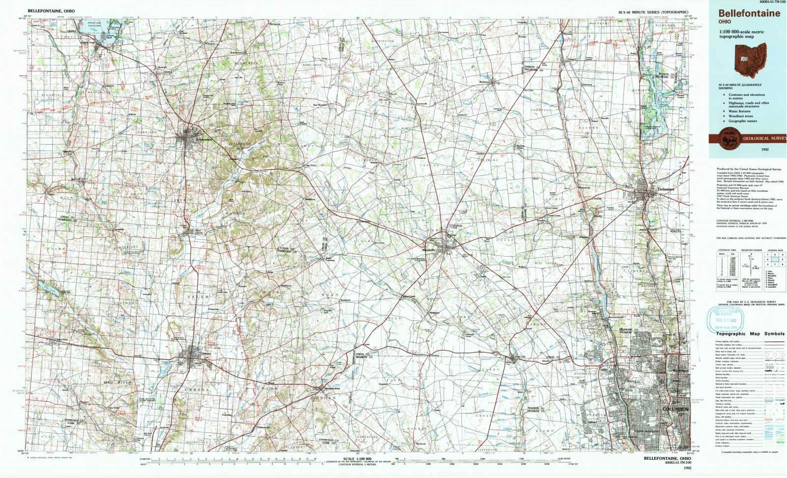
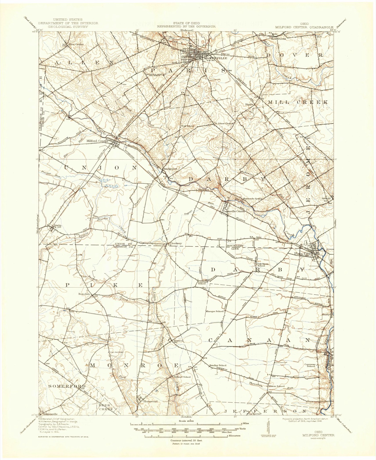
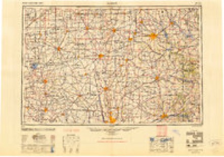
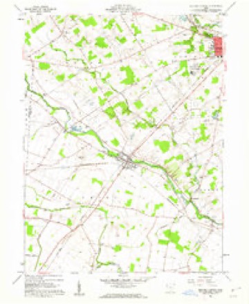
Topographic sheets covering this place
8 surveys from 12 printed sheetsMatched by testing this settlement's coordinate against the published boundary of every sheet in the United States Geological Survey's historical collection. Each opens the scanned sheet at the Survey.
- 1916 USGS Milford Center quadrangle1:62500
- 1944 USGS Milford Center quadrangle1:62500
- 1950 USGS Marion quadrangle1:250000
- 1961 USGS Milford Center quadrangle1:24000, 3 printings
- 1962 USGS Marion quadrangle1:250000
- 1966 USGS Marion quadrangle1:250000, 3 printings
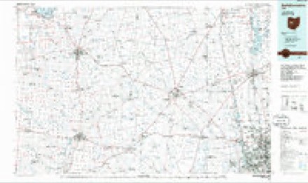
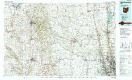
- 1986 USGS Bellefontaine quadrangle1:100000
- 1992 USGS Bellefontaine quadrangle1:100000
In the county-history sources
69,316 words on this townshipThe History of Union County, Ohio, Containing a History of the County; Its Townships, Towns ... Military Record;, published 1883 names this settlement in its chapter on Union Township. These are the passages that mention it, exactly as the scans read.
There are several very old biu-ial places in Union Township, as it was early settled; much sickness prevailed for many years, and the "grim messenger, " Death, was a frequent visitor in the unpretentious cabins. Perhaps one of the first burial places was at the Wood Cemetery, situated about one and a half miles east of Milford, on the north bank of the Big Darby Creek. This was first established as a family and neighborhood burial place, where many found early and premature graves. The gravestones here show burials to have been made as early as 1813, and it is probable there are some graves, unmarked, which received bodies at a much earlier date. Here rest many of the Woods, Reeds, Gabriels, Gills, Erwins and others of the noble and venerated pioneers. July 17, 1871, this piece of ground, consisting of 53 poles, owned by George and Josiah Reed, and 53 poles owned by Samuel Wood, making 106 poles, was, by the above-mentioned owners, deeded to the Township Trustees, who have fenced it in with a good board fence, and, with their successors to office, are by duty bound to see that the cemetery is kept fenced and carefully preserved.
Passage source: The History of Union County, Ohio, Containing a History of the County; Its Townships, Towns ... Military Record;, published 1883.
The citizens of Union have given liberally and even bountifully to the support of her schools; so it has been equally liberal in the construction of good gravel roads and pikes. The first great and general improvement of a road in Union Township was made under the superintendence of David Comer, in which he expended $187.50 on the road from Irwin, or the road past Esquire Irwin's and through Milford to the crossing of the Marysville road. The State Legislature had appropriated $500 to Union County for the improvement of her roads; and the above amount, $] 87.50, was apportioned to Union Township by the County Commissioners, with the appointment of David Comer to expend the same. From this time forward, progress in the improvement of roads was quite rapid. In 187C, the following gravel roads were fully completed, viz. : Milford Center & Irwin, 5| miles, built in 1867, cost $22,325.93; Milford Center & Urbana, 2f miles, built in 1S6S, cost $4,097.50; Marysville & Milford, 5| miles, built in 1871, cost $15,364.20; Irwin & Little Darby, 1| miles, built in 1871, cost $3,516.96; Post road, three divisions, 16| miles, built in 1873, cost $29,578.37; Milford & Bridgeport, 3| miles, built in 1873, cost $7,662.91; Irwin & Woodstock, H miles, built in 1873, cost $2,976.45: Milford & Woodstock. 3i miles, built in 1873, cost $4,697.92; Sabine & Bigelow, 5| miles, built in 1876, cost $15,560.61; Milford & Allen' Centre, 3^ miles, built in 1876, cost $5,303.65; John Connor Improved road, 2f miles, built in 1875, cost $2,752.91. Since 1876, there have been other roads graveled and improved, until now (1882) nearly all the leading lines are in good condition throughout the township.
Passage source: The History of Union County, Ohio, Containing a History of the County; Its Townships, Towns ... Military Record;, published 1883.
Machine-read from a century-old scan, so expect the errors a machine makes: misspelled names, dropped words, stray characters.
Specimens collected near this place
12 of 399 shownRegional context, not property-specific evidence. Museums hold 399 specimens collected within 10 miles of Bridgeport between 1894 and 1975: 379 Animalia, 10 Fungi, 10 Plantae. 12 distinct Species records are shown. Collected by A. Spreitzer, A. Spreitzer & W. LeGrande, Andrew R. Moldenke and others. Each is a physical object with a catalogue number, and each entry opens the museum's record. This is what was collected and kept, not a survey of what lives here - nothing can be concluded from a species being absent.
| Image | Species | Year | Collected by | Where, as recorded |
|---|---|---|---|---|
| Anomodon rostratus (Hedw.) Schimp. | 1894 | Mrs. Smyth | ||
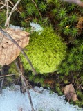 | Leucobryum glaucum (Hedw.) Ångstr. | 1894 | not recorded | |
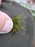 | Tetraphis pellucida Hedw. | 1894 | not recorded | |
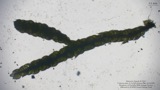 | Thelia asprella (Schimp.) Sull. | 1894 | Mrs. Smyth | |
| Uredo | 1897 | W. A. Kellerman | ||
| Uromyces plumbarius Peck | 1897 | W. A. Kellerman | ||
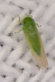 | Empoasca fabae (Harris, 1841) | 1918 | H.T. Osborn | |
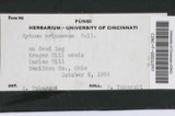 | Hydnum erinaceus Bull. | 1918 | Weir J. R. | Marysville |
 | Ichneumon annulatorius Fabricius, 1775 | 1926 | not recorded | |
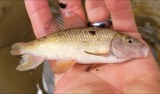 | Erimyzon oblongus claviformis (Girard, 1856) | 1928 | Trautman, M. B. (Milton Bernard) | Sugar Run, within Jerome township, near Plain City, Jerome township |
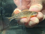 | Etheostoma spectabile (Agassiz, 1854) | 1928 | Trautman, M. B. (Milton Bernard) | Sugar Run, within Jerome township, near Plain City, Jerome township |
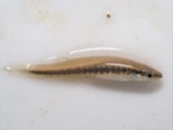 | Fundulus notatus (Rafinesque, 1820) | 1928 | Trautman, M. B. (Milton Bernard) | Sugar Run, within Jerome township, near Plain City, Jerome township |
All 399 specimens within 10 miles, at the Global Biodiversity Information Facility.
Nearest settlements
The eight closest, with where each one stands in the county. Distances are straight-line, computed from the Geographic Names Information System coordinates.
| Map | Place | Distance | Sheets |
|---|---|---|---|
| Milford Center | 2.5 miles | 12 | |
| Hickory Run | 2.9 miles | 12 | |
| Unionville Center | 3.3 miles | 12 | |
| Chuckery | 3.4 miles | 10 | |
| Milford Estates | 3.7 miles | 12 | |
| Darby Meadows | 4.1 miles | 12 | |
| Greenwood Colony | 4.3 miles | 12 | |
| Adena Pointe | 4.4 miles | 12 |
Elsewhere
Matched on this settlement's Geographic Names Information System number rather than its name, so it cannot be a different place of the same name in another state.
| Wikipedia article on Bridgeport | An encyclopaedic summary. Its text is share-alike, so it is linked here rather than copied. |
| Wikidata item Q4966567 | The structured record the population and elevation above come from. Public domain (CC0). |
Provenance
This settlement is recorded in the Geographic Names Information System as feature 1062661. The sheet list is computed by point-in-boundary test against the United States Geological Survey's historical topographic inventory. Both are works of the United States government and carry no copyright under 17 U.S.C. 105.
Specimens. Global Biodiversity Information Facility (GBIF), https://www.gbif.org/. Only records licensed CC0 or CC BY are used. Records licensed CC BY-NC are excluded because this site carries advertising. Images are checked individually and any whose licence is non-commercial, no-derivatives or unreadable is refused.