 Block
Block
Canal Fulton, Ohio
18 topographic sheets cover this place, the earliest surveyed in 1901 and the latest in 1994. It stands in Lawrence Township. It lies in ZIP code area 44614. The Survey maps it on the Canal Fulton quadrangle. 5,325 people lived here at the 2020 count. It stands 951 feet above sea level.
Population over time
2 figuresCanal Fulton fell from 5,479 to 5,325 between 2010 and 2020. These are the recorded population figures Wikidata holds for this place, reached through the Geographic Names Information System number this page is keyed on rather than by name, so they belong to this place and not to another of the same name. Most are census counts, but not all are: an early figure may be a founding or settlement estimate. The change column is computed, and is left blank where more than 20 years separate a figure from the one before it, because a gap that long is not a change between two counts.
| Year | People | Change |
|---|---|---|
| 2010 | 5,479 | |
| 2020 | 5,325 | -154 (-3%) |
Then and now
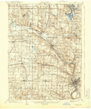
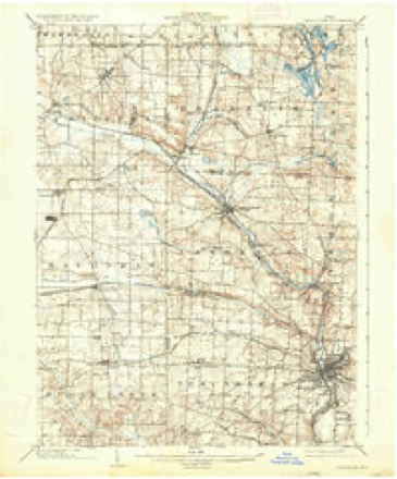
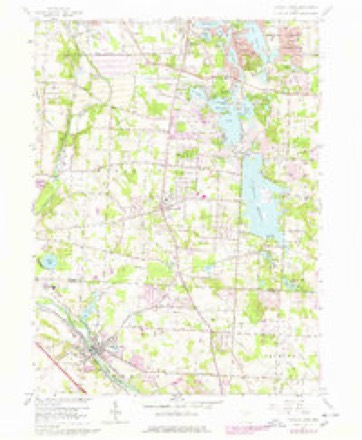
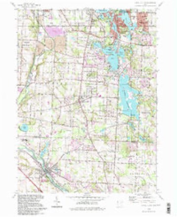
1901 to 1994The same ground, surveyed 93 years apart. Drag the handle to wipe between them. Both sheets are United States Geological Survey originals; neither has been altered.
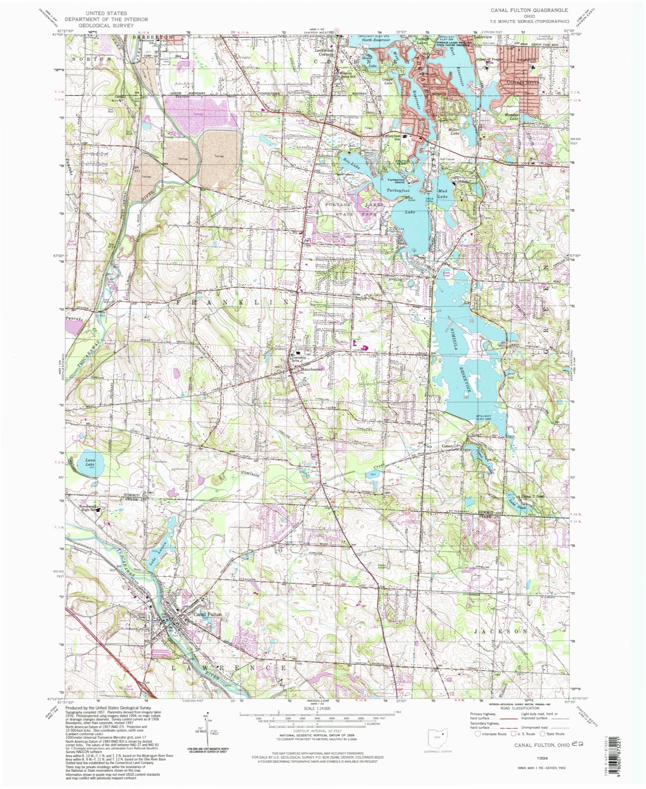
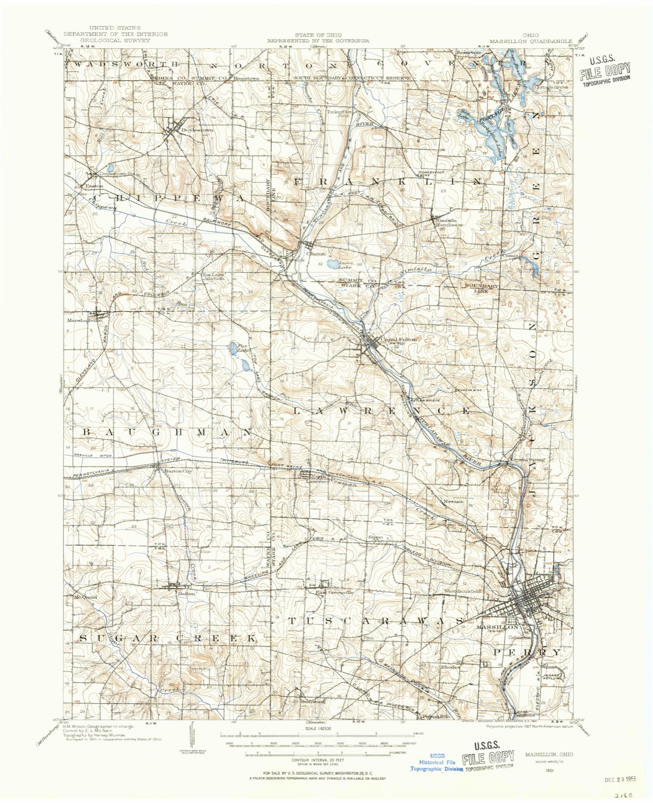
Topographic sheets covering this place
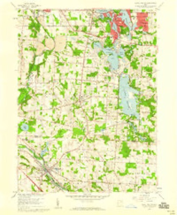
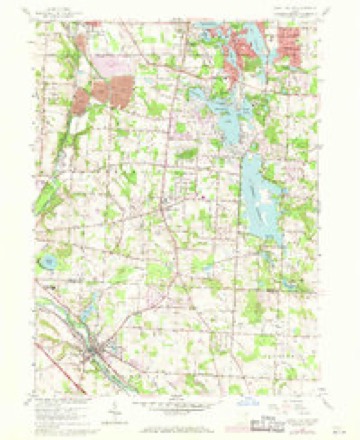
18 sheetsMatched by testing this settlement's coordinate against the published boundary of every sheet in the United States Geological Survey's historical collection. Each opens the scanned sheet at the Survey.
- 1901 USGS Massillon quadrangle1:62500
- 1901 USGS Massillon quadrangle1:62500
- 1903 USGS Massillon quadrangle1:62500
- 1903 USGS Massillon quadrangle1:62500
- 1951 USGS Canton quadrangle1:250000
- 1953 USGS Canton quadrangle1:250000
- 1957 USGS Canton quadrangle1:250000
- 1957 USGS Canton quadrangle1:250000
- 1957 USGS Canton quadrangle1:250000
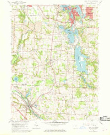
- 1958 USGS Canal Fulton quadrangle1:24000
- 1958 USGS Canal Fulton quadrangle1:24000
- 1958 USGS Canal Fulton quadrangle1:24000
- 1958 USGS Canal Fulton quadrangle1:24000
- 1962 USGS Canton quadrangle1:250000
- 1962 USGS Canton quadrangle1:250000
- 1986 USGS Canton quadrangle1:100000
- 1986 USGS Canton quadrangle1:100000
- 1994 USGS Canal Fulton quadrangle1:24000







In the 1881 county history
5,804 words on this townshipThe county history of 1881 has no passage naming this settlement, which was common for the smaller places. Its township is covered in full.
The chapter on Lawrence Township covers the township.
Read the chapter on Lawrence Township - 5,804 words.
Photographs
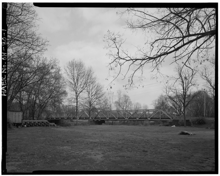
1 photograph,Taken for the Office of War Information and the Farm Security Administration, who photographed the country between 1935 and 1944. Works of United States government photographers, with no known restriction on use. Each opens its catalogue record.
Unattributed, . Library of Congress
Specimens collected nearby
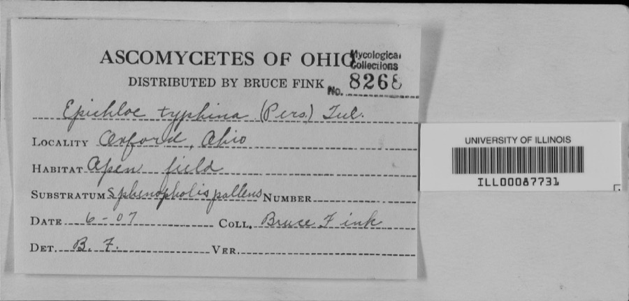
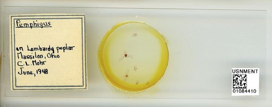
12 of 255 shownMuseums hold 255 specimens collected within 10 miles of Canal Fulton between 1887 and 1973: 231 Animalia, 19 Plantae, 4 Unrecorded, 1 Protozoa. 12 distinct Species records are shown. Collected by A.M. Rogers, Armbruster, D. C. (Daniel C.), Bangham, R. V. and others. Each is a physical object with a catalogue number, and each entry opens the museum's record. This is what was collected and kept, not a survey of what lives here - nothing can be concluded from a species being absent.
| Image | Species | Year | Collected by | Where, as recorded |
|---|---|---|---|---|
 | unnamed | 1907 | Bruce Fink | |
 | Pemphigus Hartig, 1839 | 1948 | C. Mohr | Massillon |
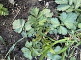 | Geum aleppicum Jacq. | 1887 | Elliott | Greensburg |
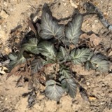 | Geum canadense Jacq. | 1887 | Elliott | Greensburg |
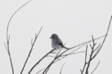 | Lanius borealis borealis | 1888 | Harry C. Oberholser | Newman Springs |
 | Pooecetes gramineus gramineus (J.F.Gmelin, 1789) | 1888 | Harry C. Oberholser | Newman Springs |
 | Agelaius phoeniceus phoeniceus (Linnaeus, 1766) | 1889 | Harry C. Oberholser | Newman Springs |
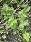 | Agrimonia gryposepala Wallr. | 1889 | Elliott | Greensburg |
 | Bombycilla cedrorum Vieillot, 1808 | 1889 | Harry C. Oberholser | Newman Springs |
 | Certhia americana americana Bonaparte, 1838 | 1889 | Harry C. Oberholser | Pines 3 miles s of Newman Springs |
 | Colaptes auratus luteus Bangs, 1898 | 1889 | Harry C. Oberholser | Newman Springs |
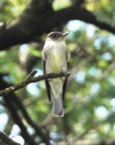 | Contopus virens (Linnaeus, 1766) | 1889 | Harry C. Oberholser | Newman Springs |
All 255 specimens within 10 miles, at the Global Biodiversity Information Facility.
Mines and quarries nearby
4 within 5 milesThe federal mineral resources record lists 4 workings within 5 miles of Canal Fulton: 4 past producers. None of them still produces. What was taken out: Sand and Gravel, Construction. Distance is straight-line from the map coordinates, so a quarry counted here may appear on a neighbouring settlement's page as well.
| Where | Site | Commodity | Status | Recorded |
|---|---|---|---|---|
| Bailey & Weidner Sand & Gravel Pit | Sand and Gravel, Construction | Past Producer | Sedimentary | |
| Bailey & Weidner Sand & Gravel Pit | Sand and Gravel, Construction | Past Producer | ||
| Ries Sand and Gravel Pit | Sand and Gravel, Construction | Past Producer | Sedimentary | |
| Ries Sand and Gravel Pit | Sand and Gravel, Construction | Past Producer |
Storms nearby
24 since 1996The National Weather Service names Canal Fulton in 24 storm reports between 1996 and 2023: 13 thunderstorm wind, 6 hail, 3 flood, 2 tornado. No death or injury is recorded in these reports. Each account below is quoted exactly as the forecast office filed it, from the NOAA Storm Events Database, and each date opens the federal record of that event.
| When | Event | Place named | Harm | What the report says |
|---|---|---|---|---|
| June 2019 | Flood | Canal Fulton | $7,000,000 | Heavy rain over the headwaters of the Tuscarwas River were averaged 7.65 for from June 11 through the 17th, with 3 to 5 inches falling on the 16th and 17th. The Tuscarawas River basin average rainfall for June 11 through June 17th was 7.58 with 3 to 5 falling during the 16th and 17th. As a result of concurrent major flooding on the tributary Chippewa Creek and the headwaters of the Tuscarawas River resulted in a flood near the 0.2 percent or 500 year flood level at the confluence in Canal Fulton and Clinton. Downstream of Canal Fulton the Tuscarawas River reached a near 1 percent recurrence flood, or 100 year event in the City of Massillon.||In Canal Fulton, just downstream of Clinton, flood levels were higher than a 1 percent or 100 year flood, but less than a .2 percent or 500 year flood level. It was the worst since 1913 flood levels. Most of the flood waters were captured between the railroad tracks to the west and inundated mainly recreational and park areas on the east side of the river. At least 3 home had inundation on a first floor, dozens of others had inundation of basements. One neighborhood of 30 homes was cut off due to flooding on the only access road Millhaven Road. These homes were cut off for about a week before flood waters receded enough to allow passage. |
| February 2011 | Flood | Canal Fulton | $300,000 | Heavy rain and rapid snow melt led to a rapid rise in the Tuscarawas River and the Nimishillen Creek. The Nimishillen Creek reached a 100 year flood stage and it's second highest crest on record of 12.96 feet. Rainfall observations across the county ranged from 1.5-2 which fell mainly during the morning of the 28th. Six to ten inches of heavy snow was on the ground at the onset of the rain. This snow rapidly melted as temperatures warmed into the 50s on the 28th. Up to an additional inch of water equivalent rainfall was released from the melted snow. Reports that 40 to 50 people people had be rescued from homes and vehicles as the water came up. |
| June 2004 | Thunderstorm Wind | Canal Fulton | $300,000 | A thunderstorm downburst produced winds estimated at 75 to 95 mph and caused extensive damage along a twelve mile long path from near Canal Fulton to North Canton. The first damage occurred just west of Canal Fulton near State Route 21. An intermittent damage path continued eastward through Lawrence Township, Jackson Township and North Canton. Over a thousand trees were downed along the damage path. Sixteen homes were damaged in Canal Fulton with most of the damage caused by fallen trees. A small house was destroyed by two fallen trees in Canton Township. Several other homes along the damage path sustained minor damage. Many vehicles were also damaged and over 19,000 people lost power as a result of this storm. |
| April 2019 | Tornado (EF0) | Canal Fulton | $50,000 | An EF-0 tornado touched down at 5:15 PM two miles southeast of Canal Fulton and produced tree top damage. The tornado tracked about 1.5 miles northeast and nearly destroyed a small outbuilding along Strausser Street. The tornado tracked further northeast and produced manly tree-top damage before dissipating just south of the Nimisila Reservoir in Summit County. The damage path was about 3.6 miles in total. |
| May 1997 | Thunderstorm Wind | Canal Fulton | $50,000 | no account filed |
| June 2014 | Thunderstorm Wind | Canal Fulton | $25,000 | Thunderstorm winds downed trees and power lines. |
| August 2019 | Thunderstorm Wind | Canal Fulton | $15,000 | A tree was blown down on a house on South Canal Street. |
| August 2009 | Thunderstorm Wind | Canal Fulton | $15,000 | Numerous trees were reported down. |
| April 2002 | Hail | Canal Fulton | $15,000 | Nickel to quarter size hail was reported in and around Canal Fulton. |
| August 2002 | Thunderstorm Wind | Canal Fulton | $15,000 | Thunderstorm winds downed trees in Canal Fulton and Greentown and two large limbs in North Canton. |
| April 2002 | Hail | Canal Fulton | $10,000 | Dime to quarter size hail fell just west of Canal Fulton. |
| June 2007 | Thunderstorm Wind | Canal Fulton | $6,000 | Numerous large limbs were reported down. |
| July 1999 | Thunderstorm Wind | Canal Fulton | $5,000 | Trees downed. |
| August 2006 | Thunderstorm Wind | Canal Fulton | $4,000 | Several trees were reported down. |
| August 1996 | Thunderstorm Wind | Canal Fulton | $2,000 | no account filed |
| August 2013 | Hail | Canal Fulton | $1,000 | A trained weather spotter reported quarter size hail in Canal Fulton. |
| April 2023 | Thunderstorm Wind | Canal Fulton | - | Several telephone poles snapped in Canal Fulton. |
| April 2020 | Thunderstorm Wind | Canal Fulton | - | Tweet with picture of football field press box toppled and destroyed. This happened at Northwest High School in Canal Fulton. |
| April 2020 | Hail | Canal Fulton | - | Facebook report of quarter-size hail in Canal Fulton. |
| April 2019 | Thunderstorm Wind | Canal Fulton | - | Several large trees were blown down near Canal Fulton. |
| May 2011 | Flood | Canal Fulton | - | Torrential rainfall with rates over an inch per hour produced widespread flooding across Stark County. The Ohio and Erie Canal towpath in Navarre was flooded and closed for a short while. Several roads were closed or experienced nuisance flooding from High St and Whipple Road NW in Canton, and Strausser St in Jackson Township. |
| April 2002 | Tornado (F0) | Canal Fulton | - | A small and very weak tornado crossed into Stark County from Wayne County near the intersection of State Route 21 and Deerfield Avenue. This location is in Lawrence Township approximately three miles west of Canal Fulton. The tornado path was only a few dozen yards in length and no damage occurred. |
| June 2019 | Hail | Canal Fulton | - | no account filed |
| June 1996 | Hail | Canal Fulton | - | no account filed |
Nearest settlements
The eight closest, with where each one stands in the county. Distances are straight-line, computed from the Geographic Names Information System coordinates.
| Map | Place | Distance | Sheets |
|---|---|---|---|
| West Fulton | 0.3 miles | 18 | |
| Brimestone Corners (historical) | 1.0 miles | 18 | |
| Urban Hill | 3.1 miles | 18 | |
| Pauls (historical) | 3.8 miles | 18 | |
| North Lawrence | 3.8 miles | 17 | |
| Crystal Lake Park | 4.3 miles | 18 | |
| Crystal Springs | 4.4 miles | 18 | |
| Newman | 4.4 miles | 18 |
Elsewhere
Matched on this settlement's Geographic Names Information System number rather than its name, so it cannot be a different place of the same name in another state.
| Wikipedia article on Canal Fulton | An encyclopaedic summary. Its text is share-alike, so it is linked here rather than copied. |
| Wikidata item Q995730 | The structured record the population and elevation above come from. Public domain (CC0). |
Provenance
This settlement is recorded in the Geographic Names Information System as feature 1060923. The sheet list is computed by point-in-boundary test against the United States Geological Survey's historical topographic inventory. Both are works of the United States government and carry no copyright under 17 U.S.C. 105.
Specimens. Global Biodiversity Information Facility (GBIF), https://www.gbif.org/. Only records licensed CC0 or CC BY are used. Records licensed CC BY-NC are excluded because this site carries advertising. Images are checked individually and any whose licence is non-commercial, no-derivatives or unreadable is refused.
Mines and quarries. USGS Mineral Resources Data System (MRDS) https://mrdata.usgs.gov/mrds/ A work of the United States government, no copyright under 17 U.S.C. 105.
Storms. NOAA National Centers for Environmental Information, Storm Events Database https://www.ncei.noaa.gov/stormevents/ A work of the United States government, no copyright under 17 U.S.C. 105. Narratives are quoted verbatim from the National Weather Service report and are not edited or summarised.