 Block
West Fulton, Ohio
18 topographic sheets cover this place, the earliest surveyed in 1901 and the latest in 1994. It stands in Lawrence Township. It lies in ZIP code area 44614. The Survey maps it on the Canal Fulton quadrangle.
Then and now
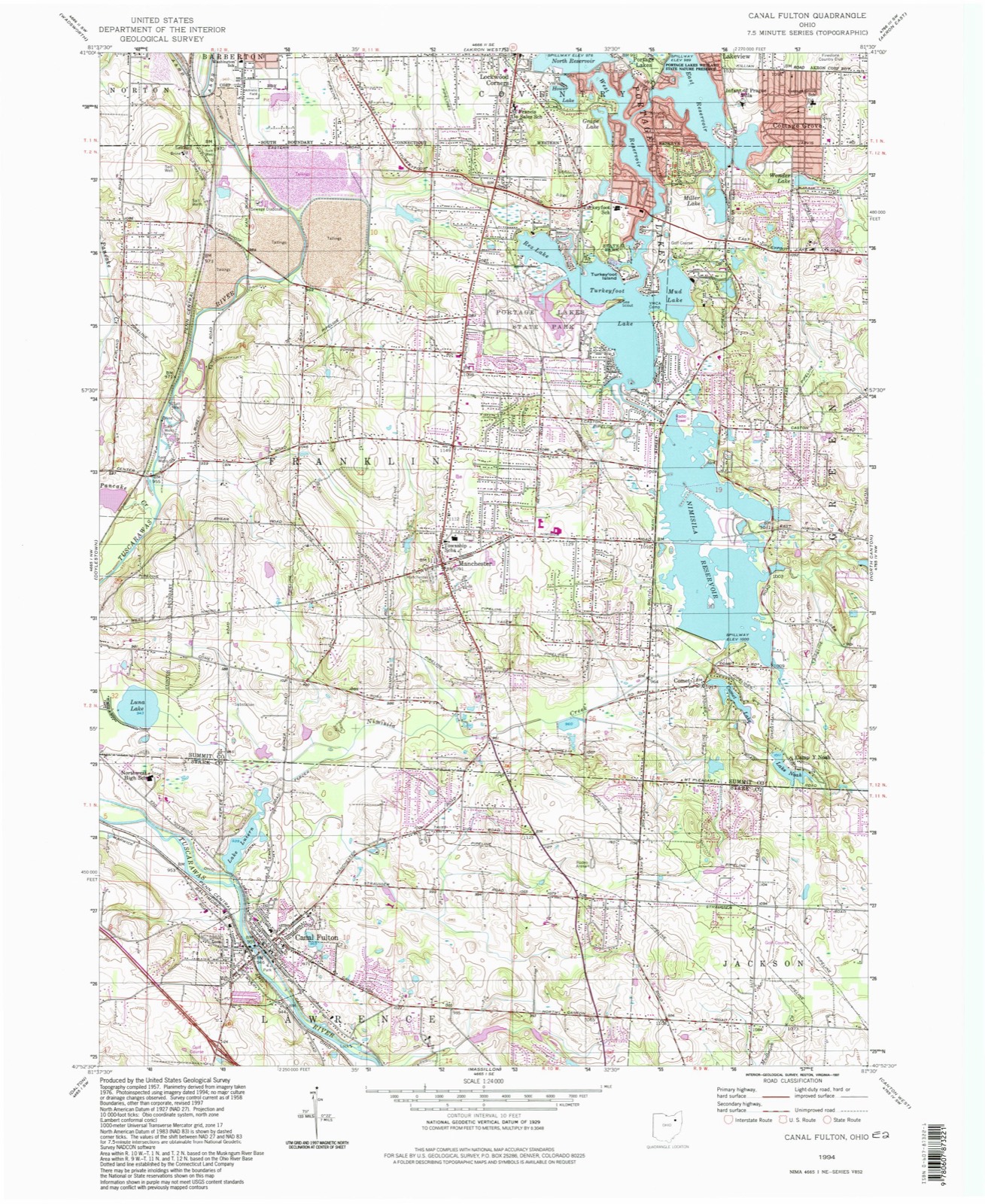
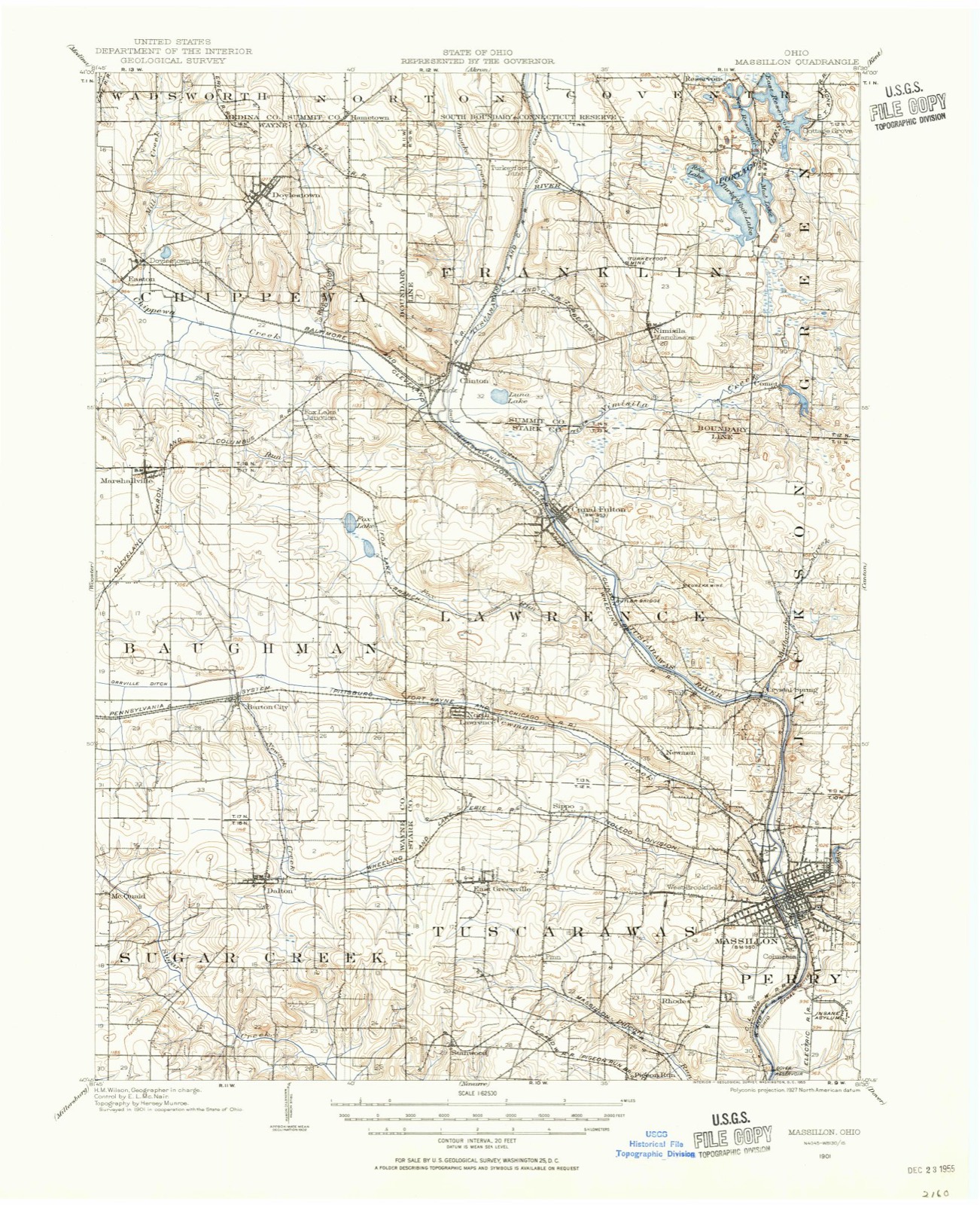
1901 to 1994The same ground, surveyed 93 years apart. Drag the handle to wipe between them. Both sheets are United States Geological Survey originals; neither has been altered.
On record in West Fulton
Buildings and businesses the archive holds for this place. Each opens its own page, with the source record it came from.
On the National Register within a mile 1 record
The National Register names another town for these. They stand within one mile of this settlement's coordinate.
- Canal Fulton Historic Districtlisted 1982 · 0.5 miles away
Topographic sheets covering this place
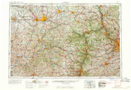
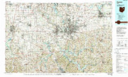
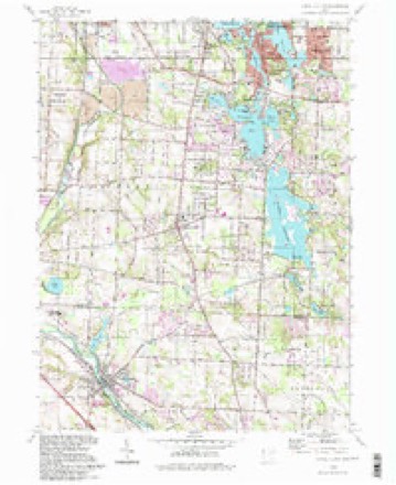
9 surveys from 18 printed sheetsMatched by testing this settlement's coordinate against the published boundary of every sheet in the United States Geological Survey's historical collection. Each opens the scanned sheet at the Survey.
- 1901 USGS Massillon quadrangle1:62500, 2 printings
- 1903 USGS Massillon quadrangle1:62500, 2 printings
- 1951 USGS Canton quadrangle1:250000
- 1953 USGS Canton quadrangle1:250000
- 1957 USGS Canton quadrangle1:250000, 3 printings
- 1958 USGS Canal Fulton quadrangle1:24000, 4 printings
- 1962 USGS Canton quadrangle1:250000, 2 printings
- 1986 USGS Canton quadrangle1:100000, 2 printings
- 1994 USGS Canal Fulton quadrangle1:24000
In the county-history sources
5,804 words on this townshipCombination Atlas Map of Stark County, Ohio, Compiled, Drawn and Published from Personal Examinations and Surveys, published 1875 has no passage naming this settlement, which was common for smaller places. Its township is covered in full.
The chapter on Lawrence Township covers the township.
Read the chapter on Lawrence Township - 5,804 words.
Specimens collected near this place
12 of 254 shownRegional context, not property-specific evidence. Museums hold 254 specimens collected within 10 miles of West Fulton between 1887 and 1973: 230 Animalia, 19 Plantae, 4 Unrecorded, 1 Protozoa. 12 distinct Species records are shown. Collected by A.M. Rogers, Armbruster, D. C. (Daniel C.), Bangham, R. V. and others. Each is a physical object with a catalogue number, and each entry opens the museum's record. This is what was collected and kept, not a survey of what lives here - nothing can be concluded from a species being absent.
| Image | Species | Year | Collected by | Where, as recorded |
|---|---|---|---|---|
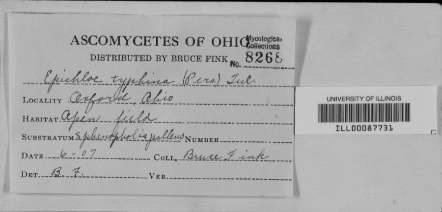 | unnamed | 1907 | Bruce Fink | |
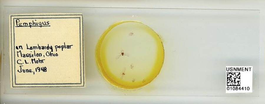 | Pemphigus Hartig, 1839 | 1948 | C. Mohr | Massillon |
 | Geum aleppicum Jacq. | 1887 | Elliott | Greensburg |
 | Geum canadense Jacq. | 1887 | Elliott | Greensburg |
 | Lanius borealis borealis | 1888 | Harry C. Oberholser | Newman Springs |
 | Pooecetes gramineus gramineus (J.F.Gmelin, 1789) | 1888 | Harry C. Oberholser | Newman Springs |
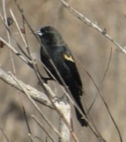 | Agelaius phoeniceus phoeniceus (Linnaeus, 1766) | 1889 | Harry C. Oberholser | Newman Springs |
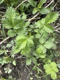 | Agrimonia gryposepala Wallr. | 1889 | Elliott | Greensburg |
 | Bombycilla cedrorum Vieillot, 1808 | 1889 | Harry C. Oberholser | Newman Springs |
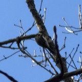 | Certhia americana americana Bonaparte, 1838 | 1889 | Harry C. Oberholser | Pines 3 miles s of Newman Springs |
 | Colaptes auratus luteus Bangs, 1898 | 1889 | Harry C. Oberholser | Newman Springs |
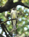 | Contopus virens (Linnaeus, 1766) | 1889 | Harry C. Oberholser | Newman Springs |
All 254 specimens within 10 miles, at the Global Biodiversity Information Facility.
Mines and quarries near this place
5 within 5 milesRegional context, not property-specific evidence. The federal mineral resources record lists 5 workings within 5 miles of West Fulton: 4 past producers, 1 producer. 1 still produces. What was taken out: Sand and Gravel, Construction. Distance is straight-line from the map coordinates, so a quarry counted here may appear on a neighbouring settlement's page as well.
| Where | Site | Commodity | Status | Recorded |
|---|---|---|---|---|
| Bailey & Weidner Sand & Gravel Pit | Sand and Gravel, Construction | Past Producer | Sedimentary | |
| Bailey & Weidner Sand & Gravel Pit | Sand and Gravel, Construction | Past Producer | ||
| Ries Sand and Gravel Pit | Sand and Gravel, Construction | Past Producer | Sedimentary | |
| Ries Sand and Gravel Pit | Sand and Gravel, Construction | Past Producer | ||
| Rupp Construction Marshallville Pit | Sand and Gravel, Construction | Producer |
Nearest settlements
The eight closest, with where each one stands in the county. Distances are straight-line, computed from the Geographic Names Information System coordinates.
| Map | Place | Distance | Sheets |
|---|---|---|---|
| Canal Fulton | 0.3 miles | 18 | |
| Brimestone Corners (historical) | 0.8 miles | 18 | |
| Urban Hill | 3.0 miles | 18 | |
| North Lawrence | 3.6 miles | 17 | |
| Pauls (historical) | 3.9 miles | 18 | |
| Newman | 4.5 miles | 18 | |
| Crystal Lake Park | 4.5 miles | 18 | |
| Crystal Springs | 4.6 miles | 18 |
Provenance
This settlement is recorded in the Geographic Names Information System as feature 1063136. The sheet list is computed by point-in-boundary test against the United States Geological Survey's historical topographic inventory. Both are works of the United States government and carry no copyright under 17 U.S.C. 105.
Specimens. Global Biodiversity Information Facility (GBIF), https://www.gbif.org/. Only records licensed CC0 or CC BY are used. Records licensed CC BY-NC are excluded because this site carries advertising. Images are checked individually and any whose licence is non-commercial, no-derivatives or unreadable is refused.
Mines and quarries. USGS Mineral Resources Data System (MRDS) https://mrdata.usgs.gov/mrds/ A work of the United States government, no copyright under 17 U.S.C. 105.