 Block
Block
Canton, Ohio
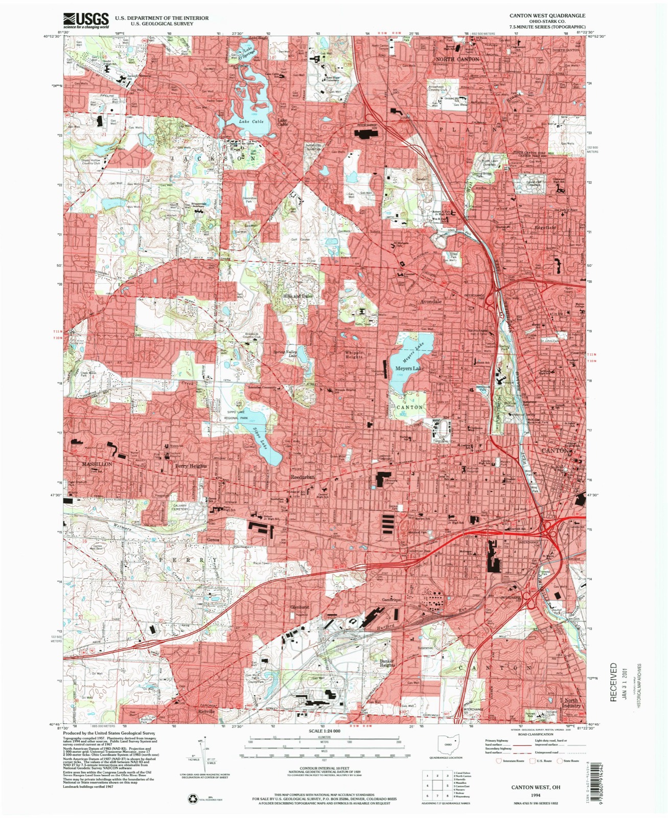
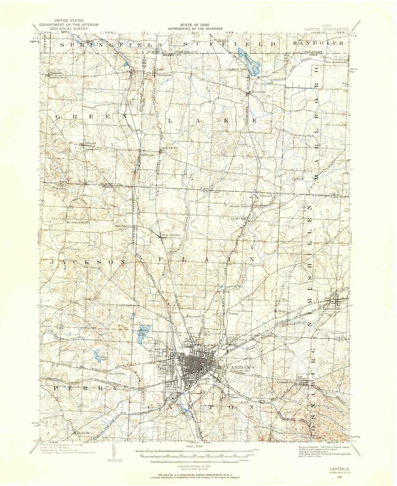
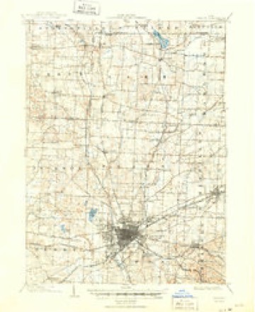
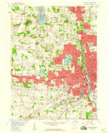
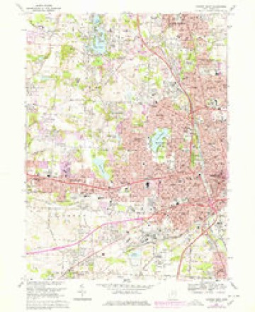
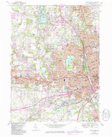
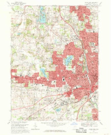
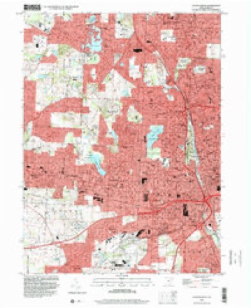
17 topographic sheets cover this place, the earliest surveyed in 1901 and the latest in 1994. It stands in Canton City. It lies in ZIP code area 44702. It stands on East Branch Nimishillen Creek. The Survey maps it on the Canton West quadrangle. 70,872 people lived here at the 2020 count. It stands 1,060 feet above sea level.
Research this city
This curated hub for Stark County, Ohio brings together the page's documented record links, visible map or image evidence where published, and routes to related local records.
What is documented here?
Use the page's provenance and linked records to distinguish the source material from the site's navigation and summaries.
How should I cite it?
Open the original record, preserve its repository and identifier, then use the citation tool for this page as a path back to the source.
Where should I go next?
Follow the county or state hub for related places and records, then use the guide for a source-aware research sequence.
Population over time
2 figuresCanton fell from 73,007 to 70,872 between 2010 and 2020. These are the recorded population figures Wikidata holds for this place, reached through the Geographic Names Information System number this page is keyed on rather than by name, so they belong to this place and not to another of the same name. Most are census counts, but not all are: an early figure may be a founding or settlement estimate. The change column is computed, and is left blank where more than 20 years separate a figure from the one before it, because a gap that long is not a change between two counts.
| Year | People | Change |
|---|---|---|
| 2010 | 73,007 | |
| 2020 | 70,872 | -2,135 (-3%) |
Then and now
1901 to 1994The same ground, surveyed 93 years apart. Drag the handle to wipe between them. Both sheets are United States Geological Survey originals; neither has been altered.
Topographic sheets covering this place
17 sheetsMatched by testing this settlement's coordinate against the published boundary of every sheet in the United States Geological Survey's historical collection. Each opens the scanned sheet at the Survey.
- 1901 USGS Canton quadrangle1:62500
- 1903 USGS Canton quadrangle1:62500
- 1903 USGS Canton quadrangle1:62500
- 1951 USGS Canton quadrangle1:250000
- 1953 USGS Canton quadrangle1:250000
- 1957 USGS Canton quadrangle1:250000
- 1957 USGS Canton quadrangle1:250000
- 1957 USGS Canton quadrangle1:250000
- 1958 USGS Canton West quadrangle1:24000
- 1962 USGS Canton quadrangle1:250000
- 1962 USGS Canton quadrangle1:250000
- 1967 USGS Canton West quadrangle1:24000
- 1967 USGS Canton West quadrangle1:24000
- 1967 USGS Canton West quadrangle1:24000
- 1986 USGS Canton quadrangle1:100000
- 1986 USGS Canton quadrangle1:100000
- 1994 USGS Canton West quadrangle1:24000







In the county-history sources
968,817 words on this townshipCombination Atlas Map of Stark County, Ohio, Compiled, Drawn and Published from Personal Examinations and Surveys, published 1875 names this settlement in its chapter on Canton Township. These are the passages that mention it, exactly as the scans read.
Tho original plal, as recorded in tho clerk's office in Columbiana County, to which tbe territory then belonged, was bounded on tho north by North Street; east, by East Alley ; south, by South Street; and on tho west, by West Alloy. Disputes arose concerning boundaries, and Mr. Wells, in 1S23, had tho plat recorded in tho clerk's oflicc in Canton, and, as explanatory, appended a note, of which tho following is an abstract: "Said proprietor declares that in laying out said lots, in order to cover any inaccuracies which might bo made in measurements, the chain used was a few inches longer than tbo exact length of a common surveyor's chain ; by which it appears that there is an excess in the sizo of tho lots when they came to be subjected lo strict measuromcnts ; and lastly, the said proprietor docs dec'aro and make known that ho relinquished all claims lo said excess of ground, and desirod that it may he considered ae tho property of the ]>rcsent owners of said lots rcfpcctivcly, and such was his original intention in laying out said lota." The southwest block of lots wero donated for a " graveyard ;" tho last block on Tuscarawas Street, south side, " for a house of worship ;" and tho block opposite " for an academy or public school." Neither of those lots ia numbered in the original plat. The first building in Canton waa on Market Street, east side, between Fourth and Fifth, on the lot owned by Isaac Stripe. It waa a log cabin, about oightoon feet square, erected in tho fall of 1800, by Garrett Crusen, for a tavern. It contained but one room, and had two small shedadditions; ono was used aa a bedroom, and tbe other as a collar and store-house. Tho large room was appropriated for a bar, kitohon, dining- and sitting-room. Tho following summer, James F. Leonard erected tho brick house standing on the southwest corner of Market and Seventh, which was tho first building of that material in tho County. Vau Meter's saw-mill was running on the west branch of tho Nimishillen, and furnished tho lumber for several frame buildings erected during this season.
Passage source: Combination Atlas Map of Stark County, Ohio, Compiled, Drawn and Published from Personal Examinations and Surveys, published 1875.
At this time tbo subject of a new oounty was agitated. Oannhnrg, five miles east, had been laid out, and got a start of Canton. Many ofi'ercd serious objections to tho latter place, because of its location in tho " Plains," tho supposed scarcity of building material, and tho imagined soverity of tho cold winds. A warm rivalry arose between the towns. Mr. Wells, proprietor of Canton, had an excellent reputation, nnd, having boon a member of the convention that framed tho first constitution of Ohio, had an extended and powerful infiuencc. This fact, connected with a proposal to donate lo the County ono hundred and fifty lots, influenced the Commiasionora lo locate the County seat at Canton. From the sale of the donated lota the County realized about five thousand dollars.
Passage source: Combination Atlas Map of Stark County, Ohio, Compiled, Drawn and Published from Personal Examinations and Surveys, published 1875.
The first addition lo the original plat of Canton was made by Honry Slua- Eor, in 1836. In 1840, Canton had a daily mail, which brought from six to twelve letters and n few papers, but no daily. .Vow, there aro four mails each week-day; two thousand letters mailed and received daily at the post-oflico, and two thousand two hundred and thirty papers daily each week (not counting papers printed in the County, and papers received by newsdealers and Snbbathschoola). Four hundred and fifty dnllico aro rooeivcd in tho eity. The real growth of the town seemed to commence about 1S50.
Passage source: Combination Atlas Map of Stark County, Ohio, Compiled, Drawn and Published from Personal Examinations and Surveys, published 1875.
Machine-read from a century-old scan, so expect the errors a machine makes: misspelled names, dropped words, stray characters.
Read the whole chapter on Canton Township - it names this place 11 more 11 times.
Photographs
8 photographs, 1941Taken for the Office of War Information and the Farm Security Administration, who photographed the country between 1935 and 1944. Works of United States government photographers, with no known restriction on use. Each opens its catalogue record.

Palmer, Alfred T., photographer, 1941. Library of Congress
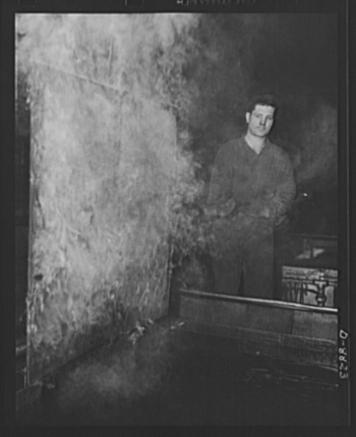
Palmer, Alfred T., photographer, 1941. Library of Congress

Palmer, Alfred T., photographer, 1941. Library of Congress

Palmer, Alfred T., photographer, 1941. Library of Congress
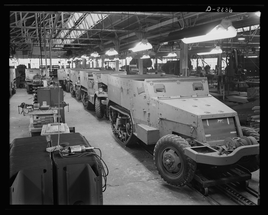
Palmer, Alfred T., photographer, 1941. Library of Congress
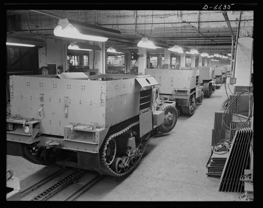
Palmer, Alfred T., photographer, 1941. Library of Congress
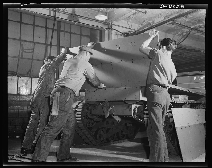
Palmer, Alfred T., photographer, 1941. Library of Congress
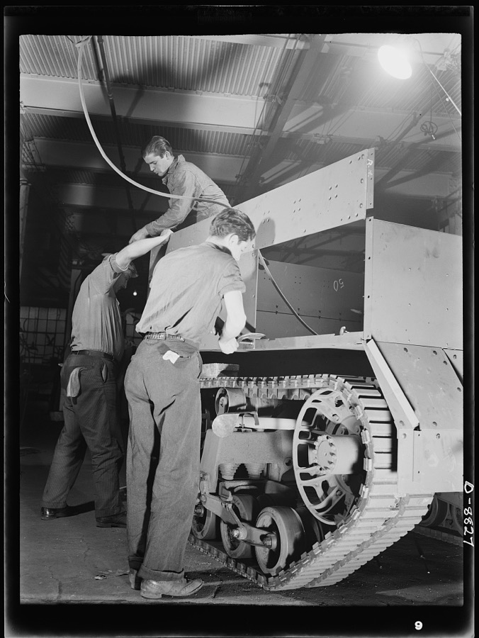
Palmer, Alfred T., photographer, 1941. Library of Congress
Fires near this place
2 since 2005Regional context, not property-specific evidence. The federal wildfire occurrence database lists 2 fires within 5 miles of Canton between 2005 and 2005, burning about 31 acres in total. None started naturally. None was recorded as arson. Distance is straight-line from the map coordinates, so a fire counted here may appear on a neighbouring settlement's page as well.
| Reported cause | Fires |
|---|---|
| Debris and open burning | 2 |
The most recent of them, most recent first, with the day each was reported and the service that recorded it.
| Date | Cause | Size | Reported by | Name on the report |
|---|---|---|---|---|
| 14 April 2005 | Debris and open burning | 30 acres | Ohio Department of Natural Resources | not named |
| 10 April 2005 | Debris and open burning | 1.0 acres | Ohio Department of Natural Resources | not named |
Settlements close enough to share some of these fires:
Specimens collected near this place
12 of 324 shownRegional context, not property-specific evidence. Museums hold 324 specimens collected within 10 miles of Canton between 1836 and 1975: 270 Animalia, 43 Plantae, 5 Unrecorded, 5 Fungi, 1 Protozoa. 12 distinct Species records are shown. Collected by A.M. Rogers, Anson A. Hinkley, Antonio, T. and others. Each is a physical object with a catalogue number, and each entry opens the museum's record. This is what was collected and kept, not a survey of what lives here - nothing can be concluded from a species being absent.
| Image | Species | Year | Collected by | Where, as recorded |
|---|---|---|---|---|
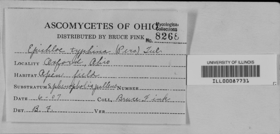 | unnamed | 1907 | Bruce Fink | |
 | Catocala flebilis Grote, 1872 | 1940 | not recorded | Navarre |
 | Pemphigus Hartig, 1839 | 1948 | C. Mohr | Massillon |
 | Carex granularis Muhl. ex Willd. | 1836 | Collector unknown | Canton |
 | Carex intumescens Rudge | 1836 | Collector unknown | Canton |
 | Ectopistes migratorius (Linnaeus, 1766) | 1875 | not recorded | No specific locality recorded. |
 | Archilochus colubris (Linnaeus, 1758) | 1885 | Bulley, R. H | Canton |
 | Dumetella carolinensis (Linnaeus, 1766) | 1885 | Bulley, R. H | Canton |
 | Hylocichla mustelina (Gmelin, 1789) | 1885 | Bulley, R. H | Canton |
 | Icterus galbula (Linnaeus, 1758) | 1885 | not recorded | Canton |
 | Melospiza georgiana (Latham, 1790) | 1885 | Bulley, R. H | Canton |
 | Molothrus ater ater (Boddaert, 1783) | 1885 | Bulley, R. H | Canton |
All 324 specimens within 10 miles, at the Global Biodiversity Information Facility.
Mines and quarries near this place
10 of 16 shownRegional context, not property-specific evidence. The federal mineral resources record lists 16 workings within 5 miles of Canton: 8 producers, 7 past producers, 1 plant. 9 still produce. What was taken out: Sand and Gravel, Construction, Clay, Sulfur, Stone, Crushed/Broken. Distance is straight-line from the map coordinates, so a quarry counted here may appear on a neighbouring settlement's page as well.
| Where | Site | Commodity | Status | Recorded |
|---|---|---|---|---|
| Canton Ohio Sulfur Plant | Sulfur | Producer | ||
| Ohio Ferro-Alloys/ Canton, Ohio | Iron | Producer | ||
| Sme Quarry | Stone, Crushed/Broken | Producer | ||
| Stark County Mines | Clay | Producer | ||
| Suzie Strip Mine | Clay | Past Producer | Sedimentary | |
| Suzie Strip Mine Clay and Shale Pit | Clay | Past Producer | ||
| American Sand & Gravel Plant #2 Pit | Sand and Gravel, Construction | Producer | ||
| Beldon Sand and Gravel Pit | Sand and Gravel, Construction | Past Producer | Sedimentary | |
| Beldon Sand and Gravel Pit | Sand and Gravel, Construction | Past Producer | ||
| Columbus Road Pit | Sand and Gravel, Construction | Past Producer | Sedimentary |
Storms near this place
60 of 138 shownRegional context, not property-specific evidence. The National Weather Service names Canton in 138 storm reports between 1993 and 2026: 65 thunderstorm wind, 56 hail, 9 flash flood, 6 lightning. The reports record 3 injuries. Each account below is quoted exactly as the forecast office filed it, from the NOAA Storm Events Database, and each date opens the federal record of that event.
| When | Event | Place named | Harm | What the report says |
|---|---|---|---|---|
| April 1994 | Thunderstorm Wind | Canton | 1 hurt, $500,000 | Winds to at least 70 mph, possibly from a microburst, damaged several stores in the College shopping area. Windows were shattered and signs downed. A woman sales clerk in the cactus area of a Woolworth's store had to be treated for wounds received from airborn objects and debris. |
| May 2001 | Tornado (F1) | Canton | 1 hurt, $450,000 | A tornado touched down briefly on the southwest side of Canton. The tornado first touched down near the intersection of 13th Street and Raff Road where a semi truck was thrown 50 to 100 feet. An occupant inside the truck sustained minor injuries. The tornado remained on the ground for approximately one half mile and blew over seven additional tractor trailers. A roof was torn off of a warehouse and a nearby garage was also damaged. Many trees were knocked down. |
| July 2005 | Lightning | North Canton | 1 hurt | A man was thrown nearly twenty feet after being struck by lightning. Reports indicate that the man only suffered minor injuries. |
| July 2008 | Hail | North Canton | $5,000,000 | Golf ball size hail was reported in North Canton. Many vehicles were damaged by the hail. |
| June 2014 | Flash Flood | North Canton | $1,500,000 | On the evening of June 18th heavy rain fell over northern Stark County between 6 and 7 PM. A automated rain gauge in Alliance measured 1.35 inches in that one hour. This intense rain on saturated ground and still flooded portions of town led to flash flooding and more intense damage to the Plain Township area. Two homes on Chaucer Street in Sherwood Village collapsed when their foundations gave way. Several other homes have sanitary sewer problems. More than 100 residents whose property sustained flood damage. 10-14 people were evacuated that evening from an apartment complex which was inundated with 18 of flood waters from a tributary of the Middle Branch of the Nimishillen Creek. Homes on Arboretum Circle were also evacuated on Wednesday night from the Zimber Ditch. Numerous roads sustained erosion and tar removal from the flowing water. Graybill Road between Massillon Road and Mayfair Road suffered erosion. Berna Road was closed for two weeks to repair two damaged pipes. Greensburg Road, near the 1600 block of Nimisila Road was also damaged by flood waters. |
| January 2017 | Flood | Canton | $500,000 | Heavy rainfall averaging 1.5-2.84 across the Nimishillen Creek basin resulted in major flooding in the Canton and Perry township areas. In all six homes were inundated displacing families. The river rose quickly along with it's tributaries the East, West, and Middle Branches during the afternoon on the 12th. Water quickly surrounded apartment buildings in a low-lying area at the Gazebo Garden Apartments on Constitution Avenue in Louisville. About a dozen families were evacuated. The city parks in Canton were closed. In Perry Township two houses were surrounded by water off of Navarre Road SW. In Canton twenty families were evacuated from a mobile home park off Cleveland Avenue. The flood levels reached in this event were comparable with one in 2004 and 2011, yet due primarily to mitigation efforts the impacts were significantly less. |
| July 2000 | Lightning | North Canton | $175,000 | Lightning struck a twelve unit apartment building and caused a fire. |
| August 2007 | Thunderstorm Wind | Canton | $150,000 | Numerous trees, large limbs and power lines were reported down from just north of the Akron-Canton Airport east to near State Route 183. |
| April 2001 | Hail | Canton | $125,000 | Hail the size of eggs fell near the intersection of Interstate 77 and US Highway 30 and damaged many cars. |
| July 2006 | Thunderstorm Wind | Canton | $100,000 | Numerous trees were reported down in Plain Township. Also, several carports were flattened at an apartment complex. Some of the fallen trees and large limbs landed on houses causing damage. |
| May 2003 | Flash Flood | Canton | $100,000 | Thunderstorms dumped between two and three inches of rain on Canton in a short period of time. Widespread lowland and street flooding occurred. Water up to six feet deep was reported in downtown Canton with water up to four feet deep on U.S. Highway 30 and State Route 43. Several cars were stranded in the flood waters and a few buildings sustained minor damage. |
| April 2001 | Hail | Canton | $100,000 | Hail the size of eggs was reported on the southwest side of Canton. Many cars were damaged. |
| April 2001 | Hail | Canton | $100,000 | Golf ball size hail fell in downtown Canton. |
| June 2000 | Thunderstorm Wind | Canton | $100,000 | Thunderstorm winds downed many trees and large limbs in the Canton and Waco areas. A 250 foot section of roof was peeled off of a building on the southwest side of Canton. |
| August 1998 | Lightning | Canton | $80,000 | Lightning struck a house in Canton Township. The resulting fire caused major damage. |
| May 2004 | Thunderstorm Wind | Canton | $75,000 | Thunderstorm winds downed around two dozen trees. At least four homes were damaged by fallen trees. |
| June 1998 | Lightning | Canton | $70,000 | Lightning struck a house, and the ensuing fire destroyed it. |
| May 2012 | Flash Flood | North Canton | $50,000 | Between 620 PM and 635 PM a torrential shower moved over the Beldon Village are in North Canton located just west of I-77. The shower lasted only 15 minutes, however during a 10 minute period rainfall rates jumped to 4.36 in/hr as estimated by NWS Doppler Radar. No gauges were located at the site of the flooding, but radar estimates put this rate around a 100 year rain for this part of Ohio. This extreme rate overwhelmed drainage systems with excessive runoff. The impact area was limited to a 1/4 to a 1/2 mile radius from the Beldon Village Mall. The parking lot of the mall with over 4 feet of water, manhole covers were blown off from the water pressure of the stormwater system, and several nearby roads flooded. A number of businesses were flooded including a grocery store and a fast food restaurant with as much as 2 feet of water. Several cars were flooded and one woman needed to be rescued. Storm total rainfall estimates were a little over an inch, however the extreme rainfall rates were the cause to the damage in this event. |
| November 2002 | Thunderstorm Wind | Canton | $50,000 | Thunderstorm winds downed scattered trees from Canton and Plain Township eastward through the Louisville and Alliance areas. A few cars were damaged by fallen trees and limbs. |
| June 2002 | Thunderstorm Wind | North Canton | $50,000 | Thunderstorm winds downed a few trees in Plain and Lake Townships. A home was damaged by a tree in Lake Township west of Hartville. |
| May 2000 | Lightning | Canton | $50,000 | Lightning struck a government building in Canton. Approximately $50,000 worth of radio and communications equipment was destroyed. |
| June 2000 | Flash Flood | Canton | $50,000 | Thunderstorms dumped heavy rains on the Canton area between 11 am and 5 pm. Rainfall measurements ranged from two and one half inches on the north side of Canton to nearly three and one half inches on the east side. Dozens of roads were flooded including some with several feet of water over them. A truck was washed off of a road in Monument Park. Flood waters also washed two cars off of Broadway Avenue. The cars floated several hundred yards before becoming stuck. Firefighters rescued the occupants of all three vehicles. Many other cars were stranded in high water. |
| September 1999 | Thunderstorm Wind | Canton | $50,000 | Several trees downed. One tree landed on a house and garage. The house sustained broken windows and minor damage roof. The garage and an adjoining deck were destroyed. |
| October 1999 | Thunderstorm Wind | North Canton | $50,000 | Ten to 15 power poles were downed by thunderstorm winds. |
| July 1997 | Thunderstorm Wind | Canton | $50,000 | no account filed |
| July 2019 | Thunderstorm Wind | Canton | $30,000 | A large tree smashed a car in a driveway and on a house. This report was a picture from social media. There were no injuries reported. |
| June 2002 | Thunderstorm Wind | Canton | $30,000 | Thunderstorm winds downed several trees and large tree limbs. At least one home was damaged by a fallen tree and a second home had a chimney toppled. |
| September 2018 | Thunderstorm Wind | Canton | $25,000 | Thunderstorm winds downed some utility poles and power lines along Hills and Dales Road. |
| November 2003 | Thunderstorm Wind | North Canton | $25,000 | Thunderstorm wind gusts estimated at 60 mph downed many trees in and around North Canton. |
| May 2019 | Thunderstorm Wind | Canton | $20,000 | A large tree was blown on a house. Multiple roads were blocked due to fallen trees and power lines in the Canton area. |
| November 2013 | Thunderstorm Wind | Canton | $20,000 | Thunderstorm winds downed many trees across Stark County. The Hoover Appliance Company pedestrian walkway was also damaged. |
| June 2005 | Hail | Canton | $20,000 | Quarter size hail was observed on the south side of Canton. A trained spotter had reported that the hail had accumulated on the ground to nearly an inch before tapering off. Other trained spotters had reported observing hail varying from penny to quarter size from Canton to Louisville. |
| June 2005 | Thunderstorm Wind | Canton | $20,000 | A power company had reported several power poles down in the Canton area. Numerous large limbs were also reported downed from thunderstorm winds. |
| October 2001 | Thunderstorm Wind | North Canton | $20,000 | Thunderstorm winds downed one tree in North Canton and a second in Alliance. A section of roof was torn off of a house in Canton. |
| September 1999 | Flash Flood | Canton | $20,000 | Up to two and one half inches of rain fell in about an hour causing street flooding throughout Canton. Two cars were trapped in three feet of water at the intersection of 15th Street and Yale Street. |
| July 2016 | Thunderstorm Wind | Canton | $15,000 | Thunderstorm winds knocked a large tree down on top of a house. |
| July 2006 | Thunderstorm Wind | Canton | $12,000 | Several large trees were reported down. |
| May 2019 | Thunderstorm Wind | Canton | $10,000 | A large tree was blown down on a house in Canton. There was a picture of the damaged house on social media. |
| December 2013 | Thunderstorm Wind | Canton | $10,000 | Thunderstorm winds downed a few trees. |
| July 2012 | Thunderstorm Wind | North Canton | $10,000 | Thunderstorm winds downed a few trees. |
| March 2011 | Hail | Canton | $10,000 | Pea to quarter sized hail was reported by numerous spotters across the county during this ten minute time period. |
| July 2005 | Thunderstorm Wind | Canton | $10,000 | Several trees were reported down. |
| August 2005 | Lightning | Canton | $10,000 | Lightning struck an oil tank and started a fire. |
| April 2002 | Hail | Canton | $10,000 | Quarter size hail was reported. |
| May 2002 | Hail | Canton | $10,000 | Quarter size hail was observed three miles south of Canton. |
| October 2001 | Thunderstorm Wind | Canton | $10,000 | Thunderstorm winds downed many trees on the southwest side of Canton. A window was also blown out of a building. |
| August 1996 | Thunderstorm Wind | Canton | $10,000 | no account filed |
| April 2023 | Thunderstorm Wind | Canton | $5,000 | Large pine tree downed onto a house and caused minor roof damage in Canton. |
| May 2019 | Thunderstorm Wind | Canton | $5,000 | Multiple trees and power lines were blown down in Canton. |
| July 2016 | Thunderstorm Wind | North Canton | $5,000 | Thunderstorm winds downed a few trees. |
| June 2013 | Thunderstorm Wind | Canton | $5,000 | Thunderstorm winds downed a couple of trees on Market Street. |
| June 2008 | Thunderstorm Wind | East Canton | $5,000 | Several large trees were uprooted. |
| May 2005 | Thunderstorm Wind | Canton | $5,000 | Several trees reported down. |
| July 2003 | Thunderstorm Wind | Canton | $5,000 | Thunderstorm winds downed two large trees three miles southwest of Canton. |
| April 2002 | Hail | Canton | $5,000 | Dime size hail was reported. |
| April 2002 | Hail | Canton | $5,000 | Dime size hail was reported near the intersection of Interstate 77 and U.S. Route 30. |
| May 1998 | Thunderstorm Wind | Canton | $5,000 | Trees and power lines were downed. |
| August 1993 | Thunderstorm Wind | Canton | $5,000 | Trees downed in several locations. |
| July 2006 | Thunderstorm Wind | North Canton | $4,000 | Three trees were reported down. |
| May 2014 | Thunderstorm Wind | North Canton | $3,000 | Thunderstorm winds downed a tree and a couple large limbs. |
Newspapers printed here
0 digitised pages6 papers published in this town, digitised by the Library of Congress and free to read: 0 issues, 0 pages. Every page is searchable, so a name or a street can be looked for directly in what the town printed about itself at the time.
| Newspaper | Published |
|---|---|
| The Stark County Democrat | 1833 to 1912 |
| Der Vaterlandsfreund Und Geist Der Zeit | 1837 to 1845 |
| Ohio Staats-Bote | 1846 to 1851 |
| Der Vaterlandsfreund | 1845 to 1846 |
| Der Vaterlandsfreund Und Westliche Beobachter | 1836 to 1837 |
| Der Vaterlandsfreund | 1833 to 1836 |
What the paper printed
18,340 wordsFront pages of the local paper, read from the Library of Congress scans: 5 issues spread across its run from 1868 to 1910, 18,340 words in total. Each is reproduced on its own page, exactly as the recogniser returned it.
These pages read less well than anything else here, and the number is worth stating: about three words in four come through cleanly, against nine in ten for the building records. An 1896 broadsheet sets eight-point type in seven columns on microfilm, which is the hardest thing in this archive to read by machine. We tested our own recognisers against the Library's and they were not better, so the Library's text is what appears, with the wholly unreadable columns removed. Read it as a guide to what the paper covered, and follow the link to the scan before quoting anything.
| Issue | Paper | Length |
|---|---|---|
| 1868-06-17 | The Stark County Democrat | 4,602 words |
| 1868-07-29 | The Stark County Democrat | 6,041 words |
| 1868-09-09 | The Stark County Democrat | 2,352 words |
| 1868-10-14 | The Stark County Democrat | 4,426 words |
| 1910-04-14 | The Stark County Democrat | 919 words |
Nearest settlements
The eight closest, with where each one stands in the county. Distances are straight-line, computed from the Geographic Names Information System coordinates.
| Map | Place | Distance | Sheets |
|---|---|---|---|
| Whittier Park | 1.1 miles | 17 | |
| Edmeyer Park | 1.6 miles | 17 | |
| Lincoln Heights | 1.7 miles | 17 | |
| Lakeview Heights | 1.8 miles | 17 | |
| Crystal Park | 2.1 miles | 17 | |
| Harter Heights | 2.1 miles | 17 | |
| East Orchard | 2.2 miles | 17 | |
| Waco | 2.2 miles | 17 |
Elsewhere
Matched on this settlement's Geographic Names Information System number rather than its name, so it cannot be a different place of the same name in another state.
| Wikipedia article on Canton | An encyclopaedic summary. Its text is share-alike, so it is linked here rather than copied. |
| Wikidata item Q491239 | The structured record the population and elevation above come from. Public domain (CC0). |
Provenance
This settlement is recorded in the Geographic Names Information System as feature 1048580. The sheet list is computed by point-in-boundary test against the United States Geological Survey's historical topographic inventory. Both are works of the United States government and carry no copyright under 17 U.S.C. 105.
Wildfire. Short, Karen C. 2022. Spatial wildfire occurrence data for the United States, 1992-2020 [FPA_FOD_20221014]. 6th Edition. Fort Collins, CO: Forest Service Research Data Archive. https://doi.org/10.2737/RDS-2013-0009.6 Collected with United States Government funding and usable without additional permissions or fees.
Specimens. Global Biodiversity Information Facility (GBIF), https://www.gbif.org/. Only records licensed CC0 or CC BY are used. Records licensed CC BY-NC are excluded because this site carries advertising. Images are checked individually and any whose licence is non-commercial, no-derivatives or unreadable is refused.
Mines and quarries. USGS Mineral Resources Data System (MRDS) https://mrdata.usgs.gov/mrds/ A work of the United States government, no copyright under 17 U.S.C. 105.
Storms. NOAA National Centers for Environmental Information, Storm Events Database https://www.ncei.noaa.gov/stormevents/ A work of the United States government, no copyright under 17 U.S.C. 105. Narratives are quoted verbatim from the National Weather Service report and are not edited or summarised.