 Block
Block
Cardington, Ohio
13 topographic sheets cover this place, the earliest surveyed in 1913 and the latest in 1994. It stands in Cardington Township. It lies in ZIP code area 43315. It stands on Big Run. The Survey maps it on the Denmark quadrangle. 2,079 people lived here at the 2020 count. It stands 1,010 feet above sea level.
Research this city
This curated hub for Morrow County, Ohio brings together the page's documented record links, visible map or image evidence where published, and routes to related local records.
What is documented here?
Use the page's provenance and linked records to distinguish the source material from the site's navigation and summaries.
How should I cite it?
Open the original record, preserve its repository and identifier, then use the citation tool for this page as a path back to the source.
Where should I go next?
Follow the county or state hub for related places and records, then use the guide for a source-aware research sequence.
Population over time
2 figuresCardington grew from 2,047 to 2,079 between 2010 and 2020. These are the recorded population figures Wikidata holds for this place, reached through the Geographic Names Information System number this page is keyed on rather than by name, so they belong to this place and not to another of the same name. Most are census counts, but not all are: an early figure may be a founding or settlement estimate. The change column is computed, and is left blank where more than 20 years separate a figure from the one before it, because a gap that long is not a change between two counts.
| Year | People | Change |
|---|---|---|
| 2010 | 2,047 | |
| 2020 | 2,079 | +32 (+2%) |
Then and now
1913 to 1994The same ground, surveyed 81 years apart. Drag the handle to wipe between them. Both sheets are United States Geological Survey originals; neither has been altered.

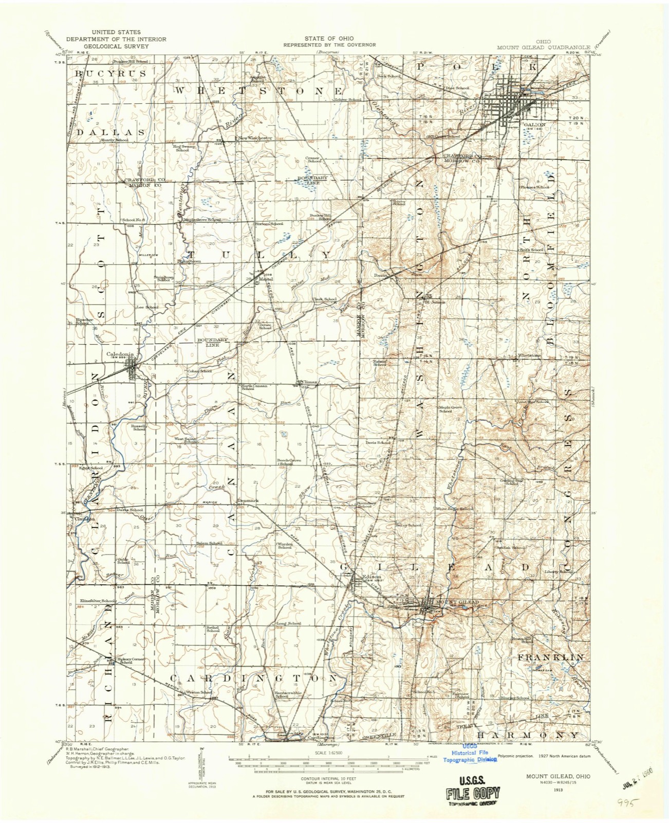
Compare 1913 against another survey:
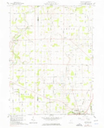
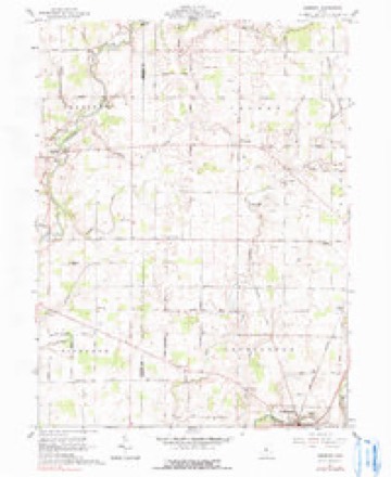
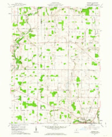
Topographic sheets covering this place
13 sheetsMatched by testing this settlement's coordinate against the published boundary of every sheet in the United States Geological Survey's historical collection. Each opens the scanned sheet at the Survey.
- 1913 USGS Mount Gilead quadrangle1:62500
- 1916 USGS Mount Gilead quadrangle1:62500
- 1943 USGS Mount Gilead quadrangle1:62500
- 1950 USGS Marion quadrangle1:250000
- 1961 USGS Denmark quadrangle1:24000
- 1961 USGS Denmark quadrangle1:24000
- 1961 USGS Denmark quadrangle1:24000
- 1962 USGS Marion quadrangle1:250000
- 1966 USGS Marion quadrangle1:250000
- 1966 USGS Marion quadrangle1:250000
- 1966 USGS Marion quadrangle1:250000
- 1986 USGS Mansfield quadrangle1:100000
- 1994 USGS Mansfield quadrangle1:100000







In the county-history sources
408,388 words on this townshipHistory of Morrow County and Ohio, published 1880 names this settlement in its chapter on Cardington Township. These are the passages that mention it, exactly as the scans read.
Sellars, removed from Perry Co., O., to Morrow Co., and settled upon the farm now owned by the former, in the year 1834. John Sellars' parents came the same year and entered an adjoining piece of land. They brought with them 40 iieads of sheep, but it was not long until the entire flock were killed by the wolves, which at that early day were very troublesome. They were hard-working people, and had soon made for themselves comfortable homes. Jacob Sellars died in 1850, his loss being deeply felt by his family and numerous friends; his wife survives him and is a resident of Cardington Tp. John Sellars passed his youth and early manhood assisting his father upon the farm; he received but a limited education, and on the 29th of March, 1849, was united in marriage with Miss Jane Curl, daughter of William Curl, Esq., one of the early settlers of Cardington Tp.; she was born Jan. 9, 1828, in Clark Co., O. The fruits of this union were ten children, eight of whom are now living - Selby, Lucinda, Wiley, Amanda, Lovina, Isadora, Ross and Leman; those deceased were named Alva and Freeman. Mr. Sellars first purchased forty acres of land, which he has owned a great many years; he now owns 310 acres of well-improved land in Cardington Tp.; also valuable property in the village, besides lands in Paulding Co., O., and in Missouri. He is a Prohibitionist politically, and an earnest advocate of the Temperance Reform. He takes great interest in religious and educational enterprizes, and has, for a great many years, been a consistent member of the United Brethren Church. He deals largely in fine stock of all kinds; he has a stud of thirty horses now upon his farm, and is the owner of Mohawk Jackson, whose record as a trotter is scarcely second to any horse in the State; he is also the owner of several fine Bashaw horses. There are few men in Morrow Co. who have done so much to improve all kinds of stock as Mr. Sellars, and the county wovild be much better oif had it more such men.
Passage source: History of Morrow County and Ohio, published 1880.
URIAH THOMPSON, farmer and stockraiser; P. O., Cardington; was born on his father's farm in Portage Co., Ohio, July 31, 1819, and lived there with his parents until he was 24 years of age, during which time he attended school, worked on the farm, and also at shoemaking and carpentering. Jan. 5,
Passage source: History of Morrow County and Ohio, published 1880.
W. B. TRINDLE, farmer and stockdealer, P. O., Cardington ; was born in Westfield Tp., Delaware, now Morrow Co., Ohio, Nov. 7, 1833, and lived with the family until he was 22 years of age. Feb. 28, 1856, he married Miss Harriet Lewis; she was Vjorn in the same place, and is the daughter of Morgan and Serena (Scofield) Lewis, who came to this countrv at an early date. Aft(>r his marriage he and his brother, James B., farmed the old homestead, and finally bought the same, together with a place of 120 acres near by. W. B., finally coming into possession of the latter place, and lived on it until 1873, when he moved to Cardington and engaged in the woolen mill business for one year, when he traded the mill in part for his present place, which he occujiied in 1876; he also sold his Westfield farm during that year, and has lived there since; of their two chilren one is living - Thomas M.; he owns 116 acres, located two miles north of Cardington.
Passage source: History of Morrow County and Ohio, published 1880.
Machine-read from a century-old scan, so expect the errors a machine makes: misspelled names, dropped words, stray characters.
Read the whole chapter on Cardington Township - it names this place 166 more 166 times.
Fires near this place
1 since 2012Regional context, not property-specific evidence. The federal wildfire occurrence database lists 1 fire within 5 miles of Cardington between 2012 and 2012, burning about 1 acres in total. None started naturally. None was recorded as arson. Distance is straight-line from the map coordinates, so a fire counted here may appear on a neighbouring settlement's page as well.
| Reported cause | Fires |
|---|---|
| Debris and open burning | 1 |
The most recent of them, most recent first, with the day each was reported and the service that recorded it.
| Date | Cause | Size | Reported by | Name on the report |
|---|---|---|---|---|
| 16 July 2012 | Debris and open burning | under an acre | Ohio Department of Natural Resources | not named |
Settlements close enough to share some of these fires:
Specimens collected near this place
12 of 406 shownRegional context, not property-specific evidence. Museums hold 406 specimens collected within 10 miles of Cardington between 1837 and 1975: 286 Animalia, 80 Fungi, 29 Plantae, 4 Protozoa, 4 Chromista, 3 Unrecorded. 12 distinct Species records are shown. Collected by A. P. Morgan, A.P. Morgan, Beardslee, H.C. and others. Each is a physical object with a catalogue number, and each entry opens the museum's record. This is what was collected and kept, not a survey of what lives here - nothing can be concluded from a species being absent.
| Image | Species | Year | Collected by | Where, as recorded |
|---|---|---|---|---|
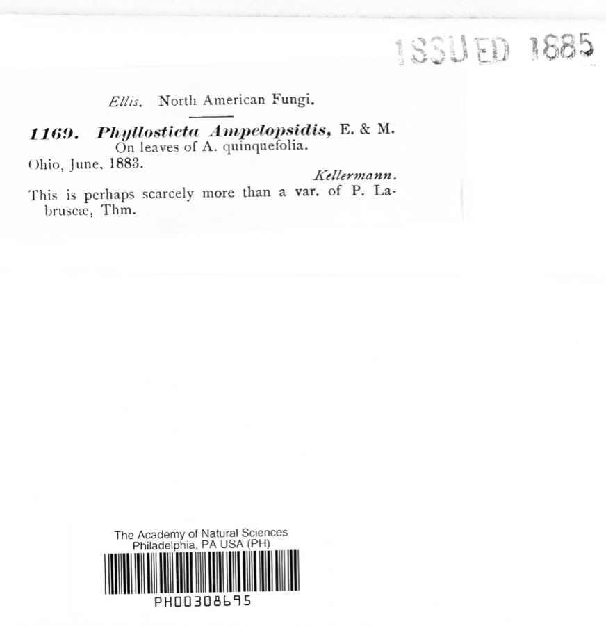 | Phyllosticta ampelopsidis Speschnew | 1883 | Kellerman | Ohio |
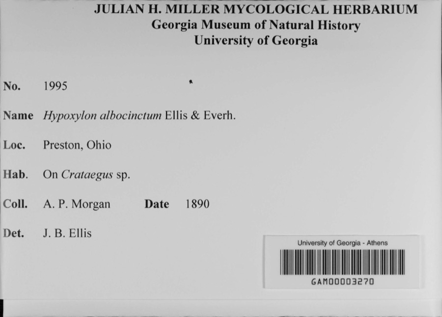 | Hypoxylon albocinctum Ellis & Everh. | 1890 | A. P. Morgan | Preston |
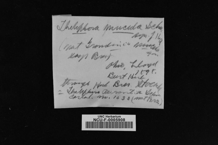 | Thelephora mucida (Pers. ex J.F.Gmel.) Fr. | 1898 | Lloyd | Ohio |
 | Agaricus velutipes Curtis | 1837 | J.R. Paddock | |
 | Sagittaria latifolia Willd. | 1837 | Frank B | |
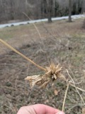 | Sicyos angulatus P.J.Bergius | 1837 | Frank B | in civitatate Ohio |
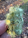 | Usnea florida (L.) F.H.Wigg. | 1837 | not recorded | |
 | Polyporus versicolor (L.) Fr. | 1838 | not recorded | |
 | Equisetum arvense L. | 1870 | Beardslee, H.C. | Moist soil. |
 | Sphaeria ulmea Fr. | 1880 | W. A. Kellermann | Ohio |
 | Phyllosticta decidua Ellis & Kellerm. | 1882 | Kellerman | Ohio |
| unnamed | 1883 | Kellerman | Ohio |
All 406 specimens within 10 miles, at the Global Biodiversity Information Facility.
Mines and quarries near this place
1 within 5 milesRegional context, not property-specific evidence. The federal mineral resources record lists 1 working within 5 miles of Cardington: 1 producer. All of them still produce. What was taken out: Phosphorus-Phosphates. Distance is straight-line from the map coordinates, so a quarry counted here may appear on a neighbouring settlement's page as well.
| Where | Site | Commodity | Status | Recorded |
|---|---|---|---|---|
| Mount Gilead Plant | Phosphorus-Phosphates | Producer |
Storms near this place
17 since 1996Regional context, not property-specific evidence. The National Weather Service names Cardington in 17 storm reports between 1996 and 2023: 8 thunderstorm wind, 7 hail, 1 tornado, 1 flood. No death or injury is recorded in these reports. Each account below is quoted exactly as the forecast office filed it, from the NOAA Storm Events Database, and each date opens the federal record of that event.
| When | Event | Place named | Harm | What the report says |
|---|---|---|---|---|
| May 2014 | Hail | Cardington | $25,000 | Golf ball sized hail was reported. A few vehicles were damaged. |
| June 2017 | Thunderstorm Wind | Cardington | $15,000 | Thunderstorm winds downed some trees and power lines in the Cardington area. |
| August 1996 | Tornado (F0) | Cardington | $10,000 | no account filed |
| July 2005 | Thunderstorm Wind | Cardington | $6,000 | A few trees were reported down. |
| May 2005 | Thunderstorm Wind | Cardington | $4,000 | Trees were reported down in Cardington. |
| July 1997 | Thunderstorm Wind | Cardington | $2,000 | no account filed |
| May 2018 | Thunderstorm Wind | Cardington | $1,000 | Thunderstorm winds downed a large tree east of Cardington. |
| April 2023 | Thunderstorm Wind | Cardington | - | Trees downed in Cardington. |
| May 2021 | Flood | Cardington | - | High water road closure on State Route 529 near Cardington, could have been related to Whetstone Creek overflow. |
| August 2020 | Thunderstorm Wind | Cardington | - | Estimated wind gust of 60 mph from thunderstorm in Cardington. |
| June 2015 | Hail | Cardington | - | Nickel sized hail was observed. |
| May 2014 | Hail | Cardington | - | Golf ball sized hail was reported. |
| April 2013 | Hail | Cardington | - | A trained weather spotter reported quarter size hail. |
| April 2006 | Hail | Cardington | - | Penny size hail was observed. |
| June 2019 | Hail | Cardington | - | no account filed |
| July 1996 | Hail | Cardington | - | no account filed |
| December 1996 | Thunderstorm Wind | Cardington | - | no account filed |
Nearest settlements
The eight closest, with where each one stands in the county. Distances are straight-line, computed from the Geographic Names Information System coordinates.
| Map | Place | Distance | Sheets |
|---|---|---|---|
| Russell | 3.3 miles | 13 | |
| Shawtown | 3.9 miles | 10 | |
| Edison | 4.3 miles | 13 | |
| Fulton | 4.3 miles | 9 | |
| Mount Gilead | 4.9 miles | 13 | |
| South Woodbury | 5.9 miles | 9 | |
| Denmark | 6.1 miles | 13 | |
| Morehouse (historical) | 6.5 miles | 10 |
Elsewhere
Matched on this settlement's Geographic Names Information System number rather than its name, so it cannot be a different place of the same name in another state.
| Wikipedia article on Cardington | An encyclopaedic summary. Its text is share-alike, so it is linked here rather than copied. |
| Wikidata item Q2461475 | The structured record the population and elevation above come from. Public domain (CC0). |
Provenance
This settlement is recorded in the Geographic Names Information System as feature 1056765. The sheet list is computed by point-in-boundary test against the United States Geological Survey's historical topographic inventory. Both are works of the United States government and carry no copyright under 17 U.S.C. 105.
Wildfire. Short, Karen C. 2022. Spatial wildfire occurrence data for the United States, 1992-2020 [FPA_FOD_20221014]. 6th Edition. Fort Collins, CO: Forest Service Research Data Archive. https://doi.org/10.2737/RDS-2013-0009.6 Collected with United States Government funding and usable without additional permissions or fees.
Specimens. Global Biodiversity Information Facility (GBIF), https://www.gbif.org/. Only records licensed CC0 or CC BY are used. Records licensed CC BY-NC are excluded because this site carries advertising. Images are checked individually and any whose licence is non-commercial, no-derivatives or unreadable is refused.
Mines and quarries. USGS Mineral Resources Data System (MRDS) https://mrdata.usgs.gov/mrds/ A work of the United States government, no copyright under 17 U.S.C. 105.
Storms. NOAA National Centers for Environmental Information, Storm Events Database https://www.ncei.noaa.gov/stormevents/ A work of the United States government, no copyright under 17 U.S.C. 105. Narratives are quoted verbatim from the National Weather Service report and are not edited or summarised.