53 topographic sheets and 15 fire insurance
atlases across 2 places.
Research this county
This curated hub for Morrow County, Ohio brings together the page's documented record links, visible map or image evidence where published, and routes to related local records.
Use the page's provenance and linked records to distinguish the source material from the site's navigation and summaries.
How should I cite it?
Open the original record, preserve its repository and identifier, then use the citation tool for this page as a path back to the source.
Where should I go next?
Follow the county or state hub for related places and records, then use the guide for a source-aware research sequence.
From the record
15 National Register listings · 23 businesses named in the fire insurance atlases from 1892 to 1912 · the 1911 county history tells 0 stories and names 0 people.
Ohio within the United StatesMorrow County within Ohio
Explore by year
What the record shows
2 places in this county were surveyed for fire insurance: Mount Gilead, Cardington, between 1885 and 1946.
15 fire insurance atlas(es) survive for the county. Topographic coverage is national; fire insurance survey reached only incorporated places with something worth insuring.
416 topographic sheet readings cover the county's settlements.
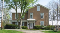
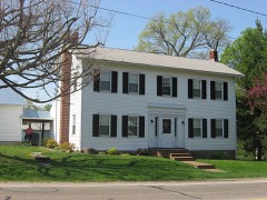
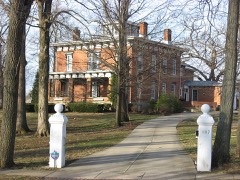
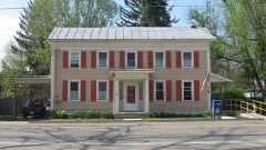
15 properties here are on the National Register of Historic Places, including 7 houses and farms.
11 of the 15 listings were added during the 1970s.
The Geographic Names Information System records 36 populated places in this county; 0 are covered by at least one topographic sheet.
3 public-domain county histories, 1880 to 1908, supply 410,474 words of narrative reproduced here in full.
Photographs
2 photographs, 2016
Taken for the Office of War Information and
the Farm Security Administration, who photographed the country between
1935 and 1944. Works of United States government photographers, with no
known restriction on use. Each opens its catalogue record.
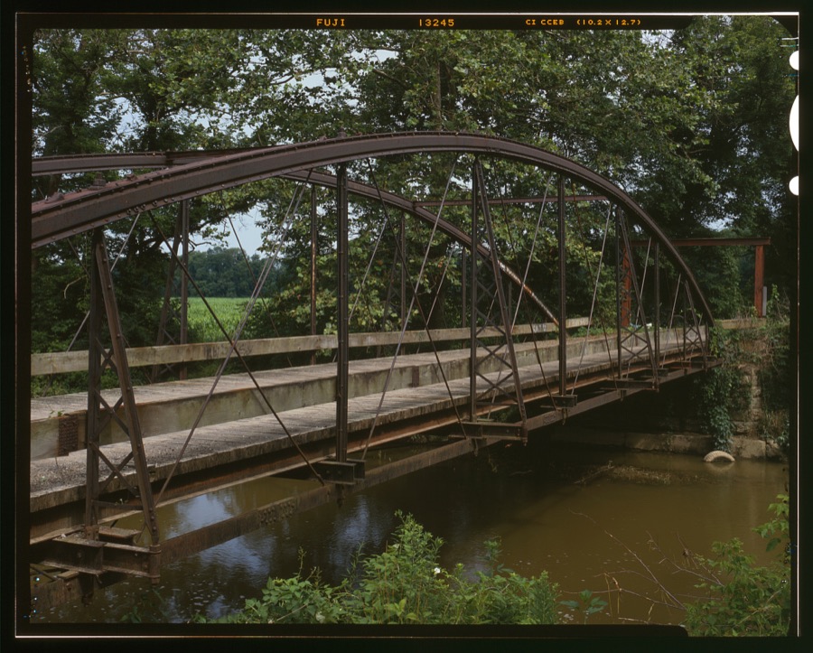
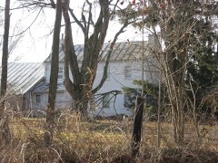
A "buggy warning" site is a familiar sight in Morrow County, Ohio, near Chesterville Highsmith, Carol M, 2016. Library of CongressWhetstone Creek Bridge, Township Road 127 spanning Whetstone Creek, Mount Gilead, Morrow County, OH Unattributed, . Library of Congress
Places on the National Register
15
Every property in this county listed on the
National Register of Historic Places, with the year it was listed and the
federal nomination document.
Morrow County holds 0 covered bridges on
the National Register, more than any other property type here. Each is a listed
structure with a federal nomination on file.
Bird's-eye views and land ownership maps
3
Drawn when these were printed as
single large sheets: the town seen from the air, and the county
divided into its farms with every owner named. Each opens the
original at the Library of Congress.
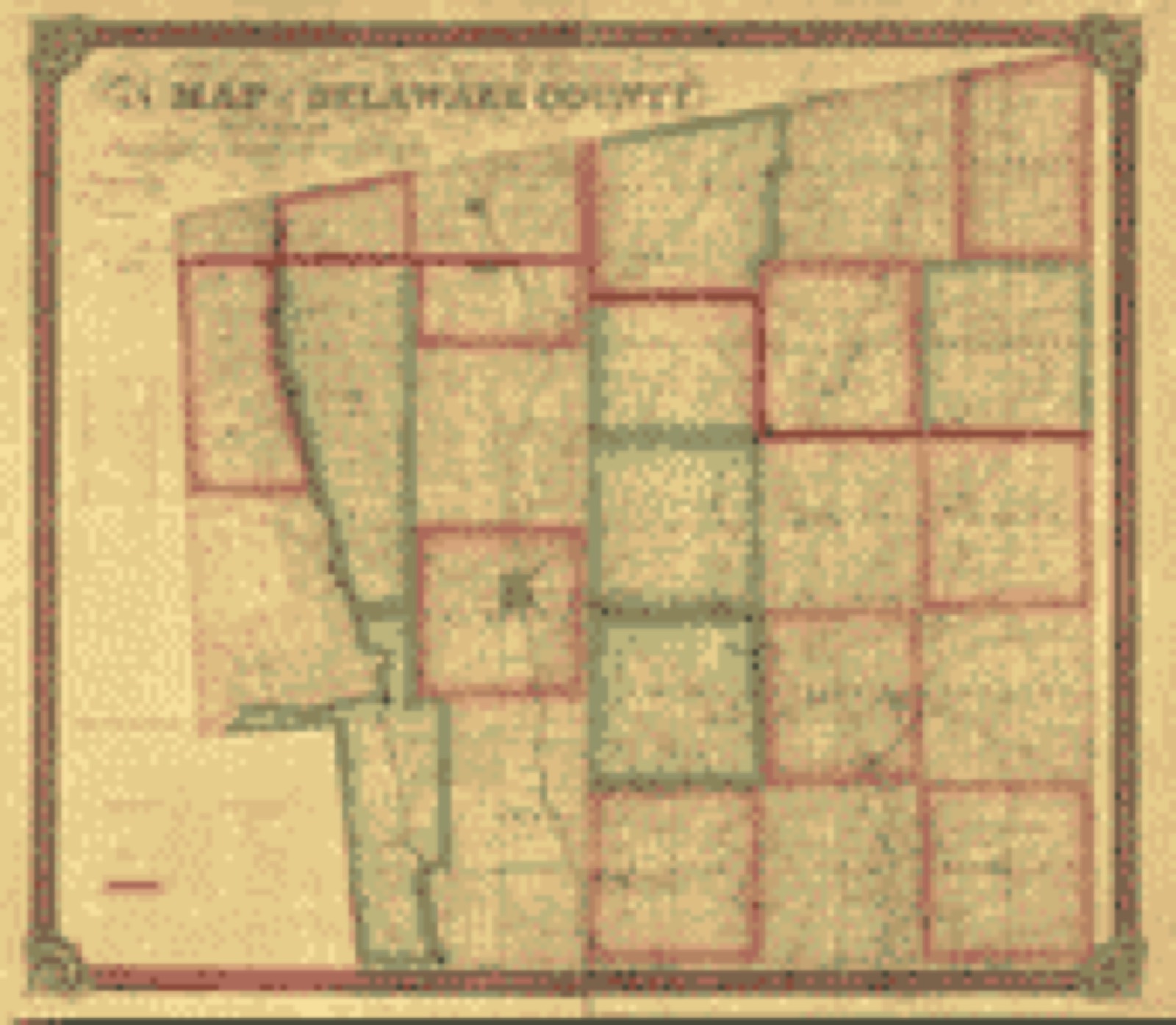
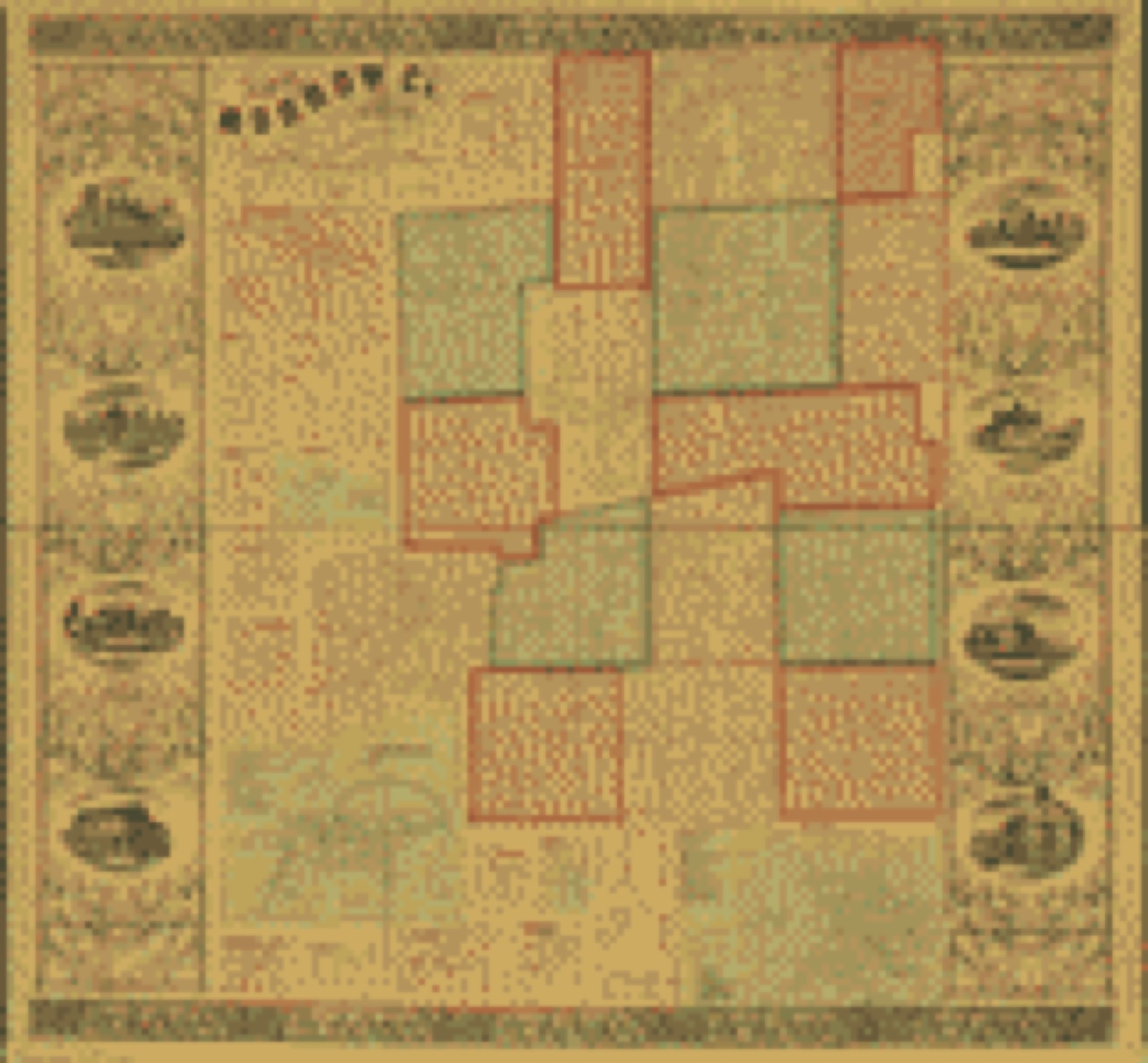
Land ownership map (1849) - Map of Delaware County : also a part of Marion and Morrow counties. Library of Congress.Land ownership map (1850) - Fulton County, Ohio. Library of Congress.Land ownership map (1857) - Map of Morrow Co., Ohio. Library of Congress.
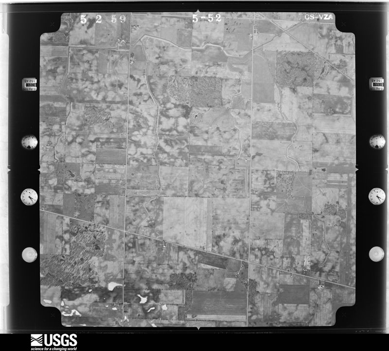
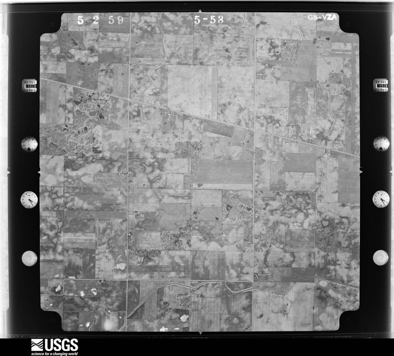
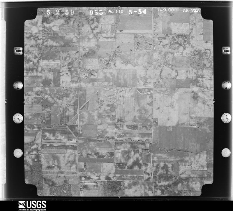
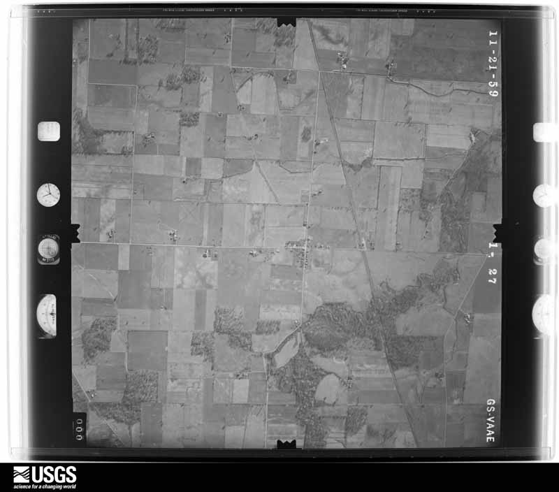
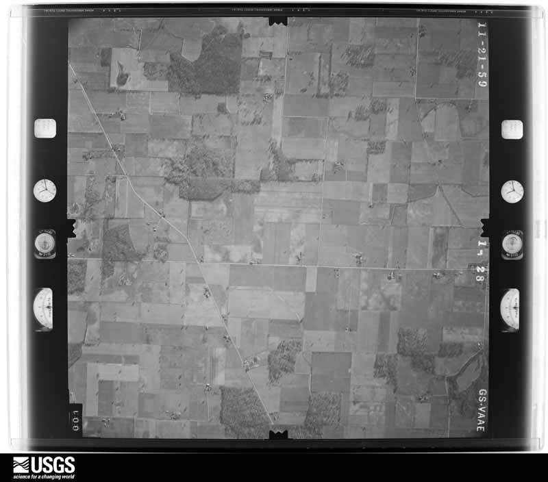
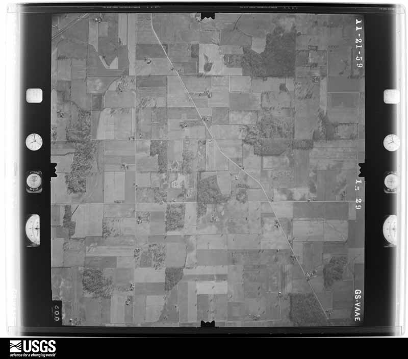
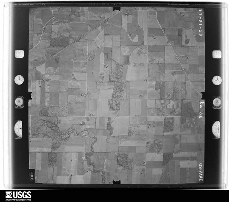
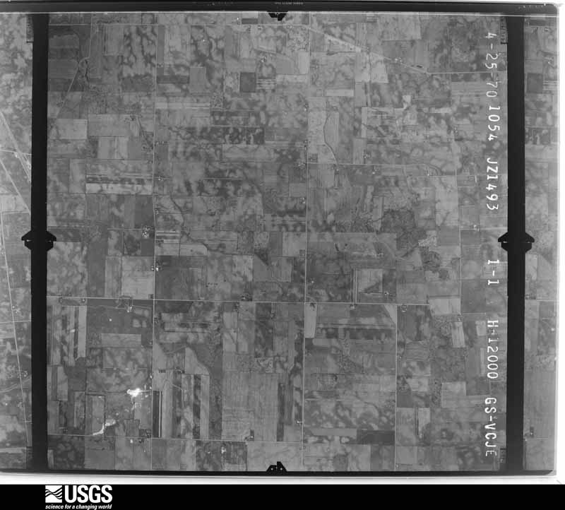
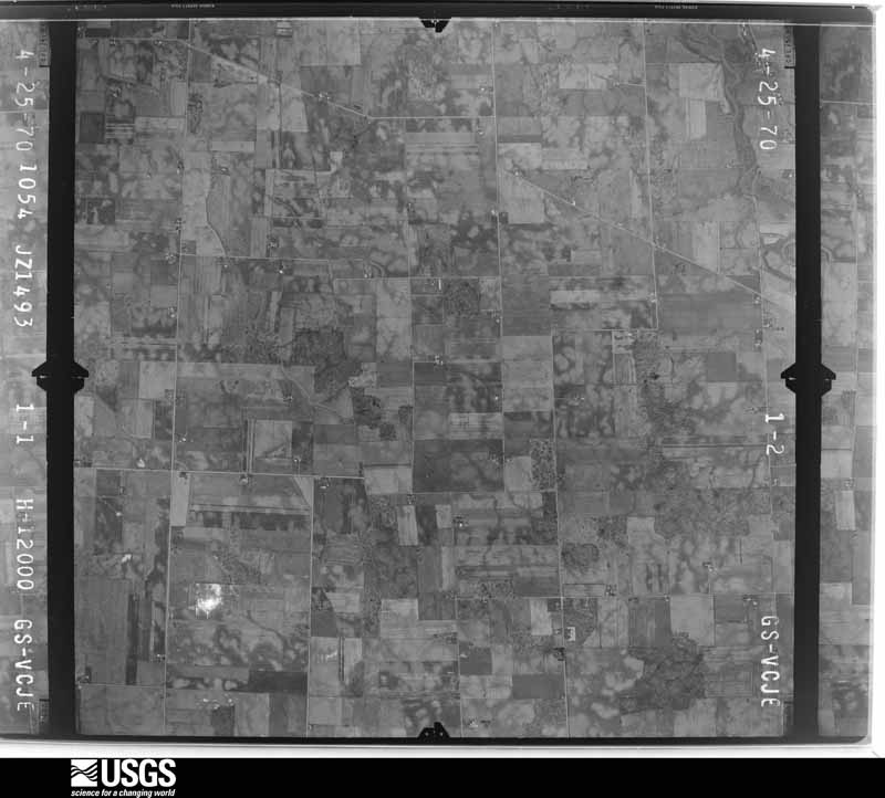
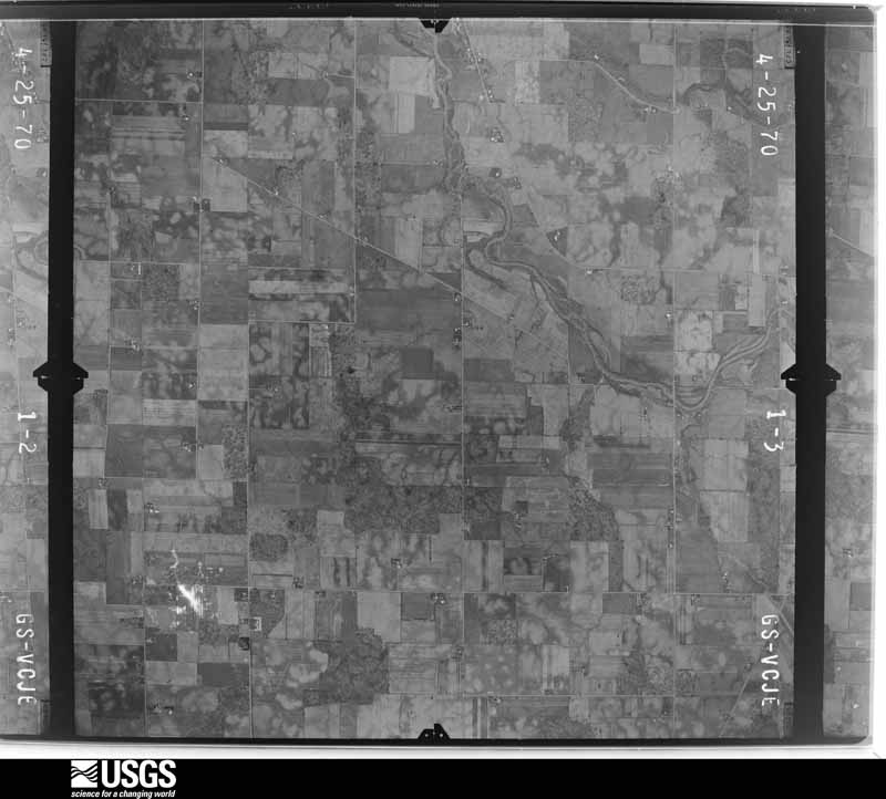
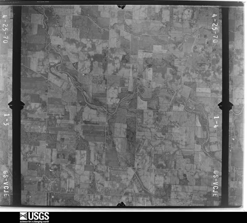
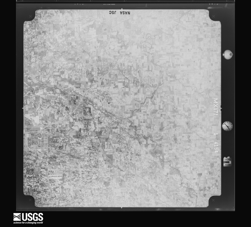
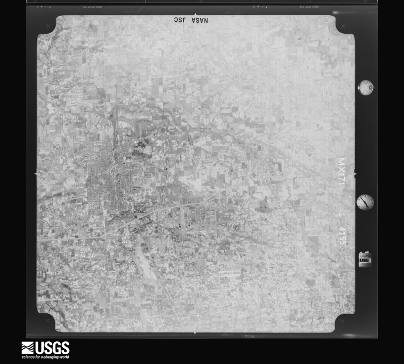
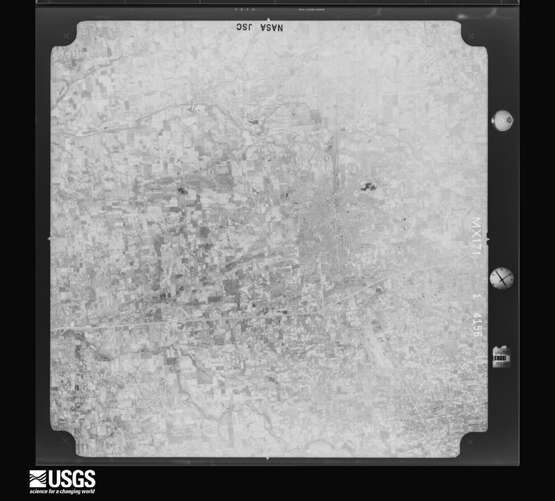
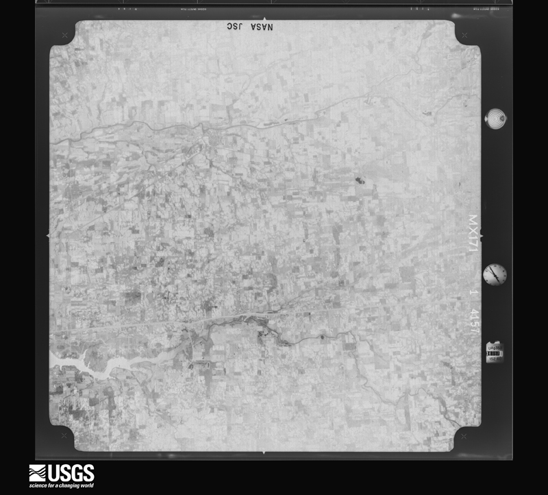
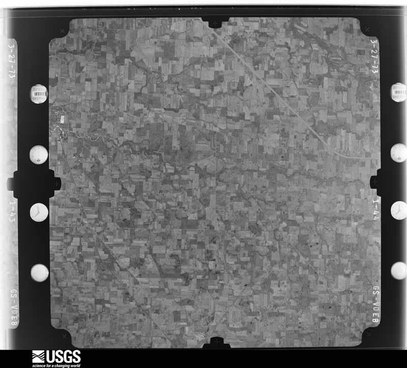
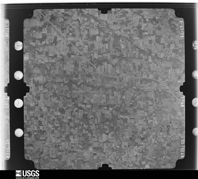
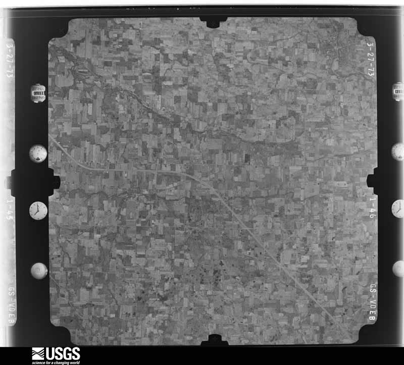
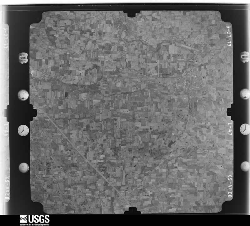
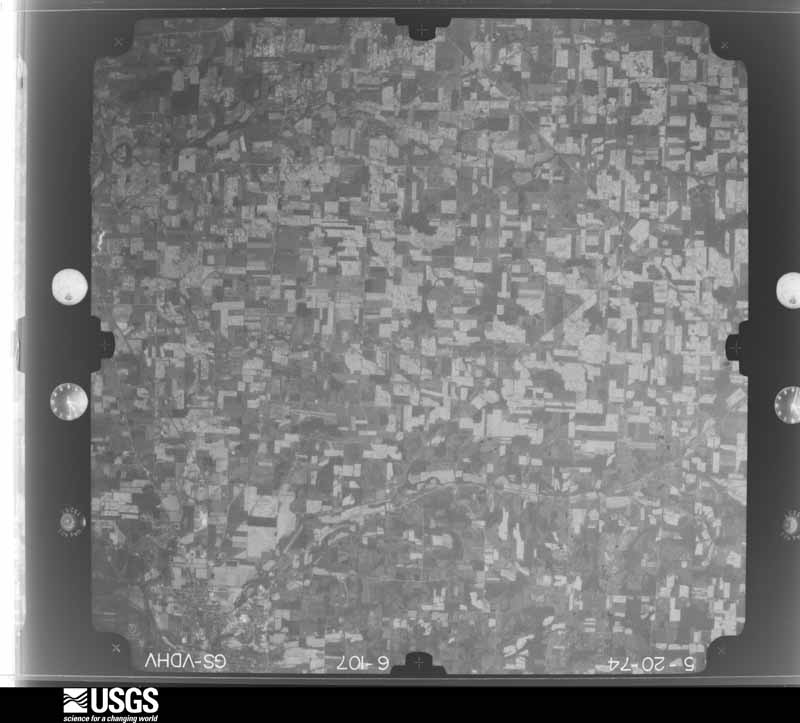
The county from the air
24 of 494 shown
Flown by the U.S. Geological Survey
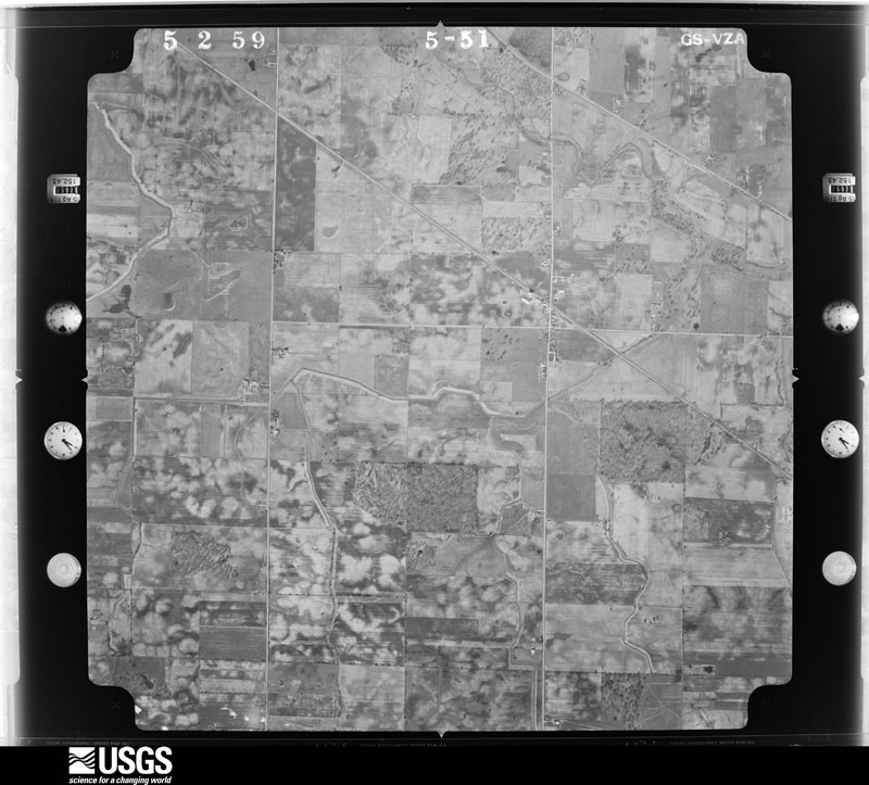
between 1937 and 1989, the Aerial Photo Single Frames collection is
the definitive mid-century view of the land: fields, roads and rivers
as the camera saw them. 494 frames touch this county; the
selection below spreads across the decades of flights (at most four
per year), so one flight cannot crowd out the rest. The full set is
free to browse and download at
EarthExplorer under the dataset Aerial Photo Single
Frames.
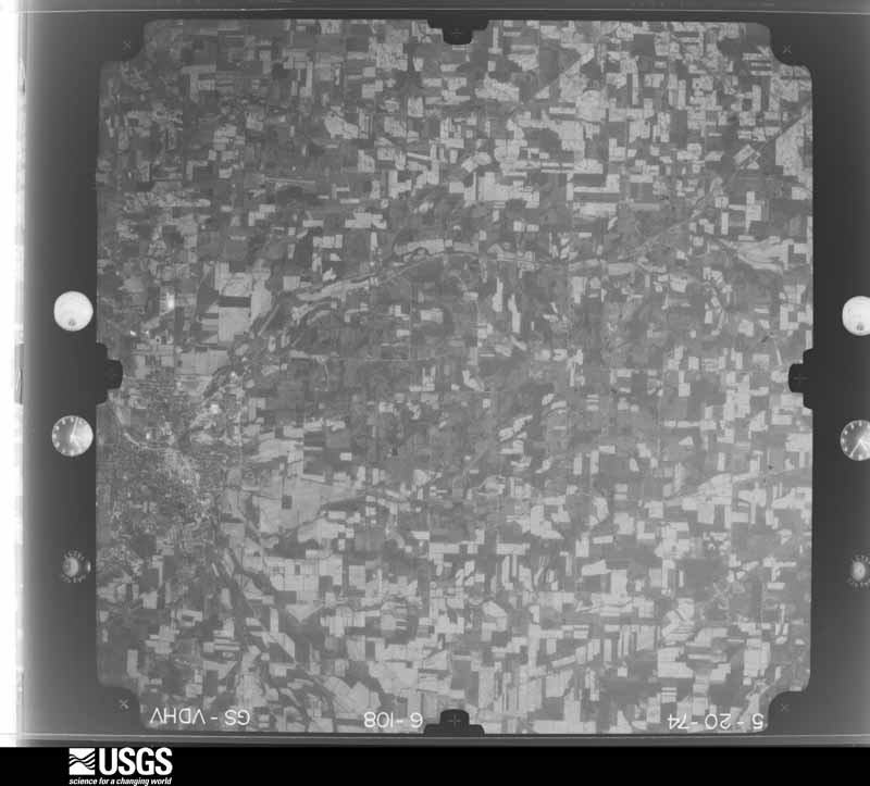
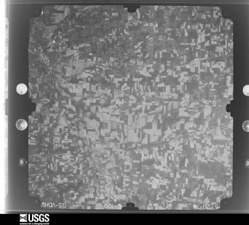
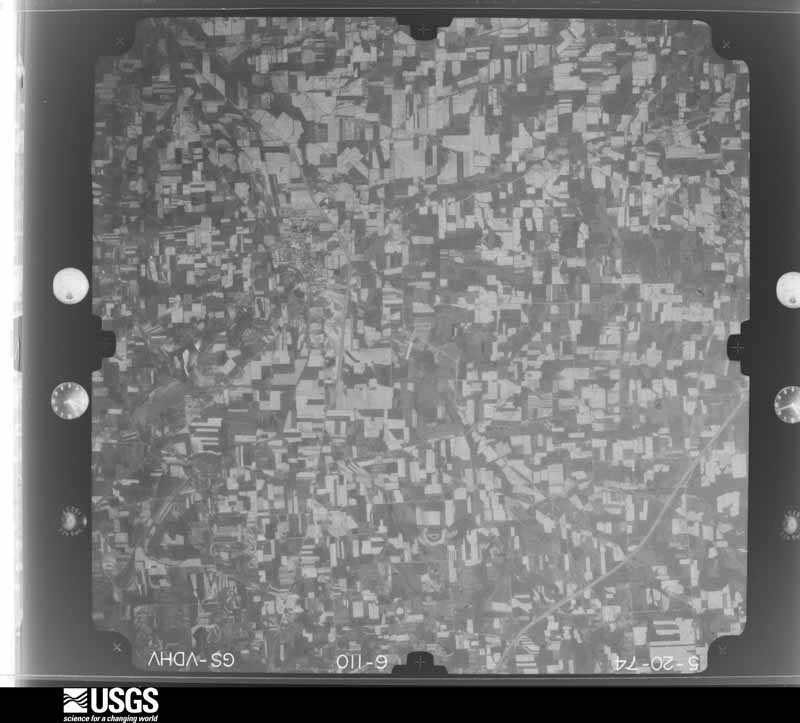
1959-05-02, scale 1:18000. U.S. Geological Survey aerial photograph.1959-05-02, scale 1:18000. U.S. Geological Survey aerial photograph.1959-05-02, scale 1:18000. U.S. Geological Survey aerial photograph.1959-05-02, scale 1:18000. U.S. Geological Survey aerial photograph.1960-04-12, scale 1:17000. U.S. Geological Survey aerial photograph.1960-04-12, scale 1:17000. U.S. Geological Survey aerial photograph.1960-04-12, scale 1:17000. U.S. Geological Survey aerial photograph.1960-04-12, scale 1:17000. U.S. Geological Survey aerial photograph.1970-07-16, scale 1:24000. U.S. Geological Survey aerial photograph.1970-07-16, scale 1:24000. U.S. Geological Survey aerial photograph.1970-07-16, scale 1:24000. U.S. Geological Survey aerial photograph.1970-07-16, scale 1:24000. U.S. Geological Survey aerial photograph.1971-04-16, scale 1:103015. U.S. Geological Survey aerial photograph.1971-04-16, scale 1:101482. U.S. Geological Survey aerial photograph.1971-04-16, scale 1:101482. U.S. Geological Survey aerial photograph.1971-04-16, scale 1:101482. U.S. Geological Survey aerial photograph.1973-10-01, scale 1:76000. U.S. Geological Survey aerial photograph.1973-10-01, scale 1:76000. U.S. Geological Survey aerial photograph.1973-10-01, scale 1:76000. U.S. Geological Survey aerial photograph.1973-10-01, scale 1:76000. U.S. Geological Survey aerial photograph.1974-05-01, scale 1:76000. U.S. Geological Survey aerial photograph.1974-05-01, scale 1:76000. U.S. Geological Survey aerial photograph.1974-05-01, scale 1:76000. U.S. Geological Survey aerial photograph.1974-05-01, scale 1:76000. U.S. Geological Survey aerial photograph.
Weather records
11 stations, 7 gages
The thermometers that kept this
county's weather, and the gages that watched its rivers, as the
federal records hold them. The extremes below are measured values
from those records, not estimates.
Who lived here in 1950, one enumeration
district at a time, as the Census Bureau described each district.
Each row opens its official National Archives result, with Population
Schedules and ED Maps available there.
Every Sanborn volume opens with a printed index
naming the town's mills, tanneries, hotels and works by proprietor. Those
indexes were read off the scanned sheets by machine and then matched to each
other, so a business surveyed four times appears here once, with the years it
survived. 7 of these 23 were named in more than one atlas. Each carries a
crop of the line it was read from: the spelling is the recogniser's and the
1880s lithographer's, and the scan behind it is the proof.
Every wildfire the federal occurrence
database records inside this county: 2 of them, burning about
6 acres. 0 started naturally and 0 were
recorded as arson. Each settlement page carries the fires within five
miles of it.
Reported cause
Fires
Missing data/not specified/undetermined
1
Debris and open burning
1
The five largest, by the area the report
gives. None of them was recorded as arson.
Date
Cause
Size
Reported by
Name on the report
1 December 2012
Missing data/not specified/undetermined
5.5 acres
Ohio Department of Natural Resources
not named
16 July 2012
Debris and open burning
under an acre
Ohio Department of Natural Resources
not named
Every settlement page carries the fires within five
miles of it - see the settlement index below.
Storms, 1958 to
2026
60 of 285 shown
The
NOAA Storm Events Database holds
285 reports for this county, causing 4 deaths,
94 injuries and about $41,457,480 in recorded property damage.
Each settlement page carries the reports that name it.
Kind of event
Reports
Thunderstorm Wind
158
Hail
79
Tornado
19
Flash Flood
16
Flood
8
Lightning
3
Heavy Rain
1
Winter Weather
1
The most serious of them, by death, then
injury, then recorded damage. The accounts are quoted exactly as the
forecast office filed them.
Lightning struck a 40 year old woman near the Mid Ohio Sports Car Course or about fives miles north of Johnsville. The woman was outside standing near a metal fence when the lightning struck. The woman sustained serious injuries and was hospitalized.
An intense line of thunderstorms or Derecho moved across Marion County during the afternoon of June 29th causing extensive damage. Winds were estimated to be as much as 80 mph. Over 75 percent of residents lost power during this event. Power was not completely restored for almost a week. Hundreds, if not thousands of trees were downed across the county along with many utility poles forcing the closure of dozens of roads and streets. Damage to homes and buildings was also extensive. Hundreds of homes and buildings lost roofing or siding with many other homes damaged by fallen trees. Clean up costs were extensive. The clean up was hampered by an ongoing heat wave with afternoon temperatures in the upper 90s. Significant crop losses are also expected. Damage from this storm was comparable to the remnants of Hurricane Ike in September 2008. Damage to public property alone was over $700 thousand.
Another round of torrential thunderstorm rains brought new flooding and exacerbated existing flooding. Numerous roads were closed or remained closed. 140 people had to be evacuated from rising water. A woman had to be rescued clinging from a tree branch after she escaped from her truck just before it was swept under a bridge. In some areas, flooding persisted for several days and total rainfall since early morning was 8 to 10 inches in some areas. The county was declared a state and federal disaster area.
Heavy rain and rapidly rising streams forced the closing of several roads throughout the county by 0430 AM Saturday. Major flooding continued until almost midnight on Sunday. Several people were trapped by the rising flood water and had to be rescued. More than 140 people were evacuated. Homes, other buildings and crops were damaged or destroyed.
Several roads in Morrow County were closed due to high water. A swath of 2 to upwards of 3.5 inches of rain fell over portions of central Morrow County the night of the 8th. The rain fell over already saturated soil and the rivers and creeks were running high prior to the onset of new rain. By daybreak in Mt. Gilead 75 people were evacuated from apartments and 3 from trailers as flood waters inundated their property. In total 20 properties saw water inundate the first floor with a few inches of water. The fairgrounds flooded.
Heavy rain and rapid snow melt led to widespread flooding across Morrow County. Rainfall totals across the county ranged from one to three inches on February 27th and 28th. Up to ten inches of heavy snow was on the ground at the onset of the rain. This snow rapidly melted as temperatures warmed into the 50s on the 28th. Up to an additional inch of water equivalent rainfall was released from the melted snow. Several people had be rescued from stranded vehicles. Hundreds of homes in the county sustained damage, mainly from basement flooding. Many roads had to be closed because of the flooding.
Thunderstorms producing very heavy rains persisted over Morrow County during the early morning hours of the 28th. Two to four inches of rain fell on the southern third of the county. Extensive lowland flooding was reported as several streams and creeks quickly went into flood. A nursing home in Marengo had to be evacuated because of flooding. A bridge on County Road 206 to the west of Sparta was washed out. Several roads had to be closed because of flooding. At least two dozen homes sustained damage from the flooding.
An EF0 tornado touched down in rural Morrow County just to the southeast of Marengo. The initial touchdown was near the intersection of County Road 212 and Webb Road. The tornado continued east northeast for around two miles before lifting near the intersection of Township Roads 208 and 211. Five homes were damaged and dozens of trees downed along the damage path which was no more than 50 yards in width. Four of the five homes sustained minor damage, mostly from lost shingles or siding. The fifth, a manufactured home, lost most of it's roof and large sections of siding.
A line of severe thunderstorms moved across Morrow County and downed dozens of trees. Scattered power outages were also reported. A few homes and vehicles were damaged by fallen trees.
More heavy thunderstorm rains enhanced existing flooding and created new flooding. Ten head of cattle reportedly drowned and additional roads and bridges were damaged or washed in addition to damage from flooding on the 27th. Flooding persisted for several days in many areas.
Thunderstorm winds damaged two homes 8 miles northeast of Mt. Gilead. One of the homes lost a roof and had a porch destroyed. The second house sustained minor roof damage. Many trees were downed in the northeastern corner of the county and two cars were crushed by fallen trees.
Showers and embedded thunderstorms began to move into the county around 1130 AM. Training of heavy rainfall led to flash flooding just after 2 PM. Numerous roads were closed as a result including State Routes 42 and 61. In addition, one rural roadway was washed out from flood waters. By 2 PM, the intensity of the rainfall decreased and flash flooding subsided by 5:30 PM.
Trees and limbs were downed, some on power lines. Some damage occurred to roofs and siding. Signs and bleachers were damaged at Highland High School (Sparta area).
This tornado began along Township Road 46 in Mount Gilead and damaged multiple farm buildings. The structural damage included complete loss of a roof and compromised exterior walls. A trailer was tossed approximately 30 yards. As the tornado moved southeastward, numerous trees were uprooted or snapped. When the tornado crossed Township Road 87, numerous 2x4 planks impaled the sides and roofs of structures. The tornado dissipated as it approached the intersection of Township Roads 86 and 91. Estimated peak tornadic winds were 97 mph.
In Morrow County, The Whetstone Creek flooded its banks in Mt. Gilead. The Lee Street apartments in Mt. Gilead were flooded. Seventy-five people in 20 units were affected by the flood waters. Flooding problems were reported along State Routes 95 and 314 in Morrow County, high water on another part of State Route 95 at the Knox-Morrow County line and the Richland-Morrow County line. A farm north of Mt. Gilead had over a dozen horses forced to swim to dry land as the property was inundated.
An area of heavy rain moved across Morrow County during the late afternoon and evening hours of July 12th. The heavy rains caused flash flooding, especially across northwestern Morrow County. Rainfall reports in the area indicated that over an inch and a half of rain fell between 6:45 and 7:45 p.m. Numerous roads, including State Routes 61 and 19 in northwestern Morrow County were closed. A vehicle rescue was performed when a car was swept off the road by flash flooding on County Road 38. The driver of the vehicle was successfully rescued, but the vehicle was washed away towards the Galion resevoir.
This tornado had peak intensity of EF1, with estimated peak winds of 95-mph, and impacted the northeastern and eastern outskirts of Mount Gilead. The tornado began along U.S. Route 42, near Home Road, and caused extensive tree damage, which included multiple snapped and uprooted trees. The tornado continued southeastward, crossed Township Road 103, and caused sporadic tree damage. The tornado then crossed OH Route 95, near Township Road 110, and destroyed a 60 foot by 100 foot outbuilding. Debris from this outbuilding were displaced about 100 to 200 yards to the south-southeast by the tornado before the tornado ended. Scattered tree damage and some structural damage associated with straight line convective wind gusts up to 75-mph were found both north and south of the tornado track. Radar data suggest this tornado was associated with a cyclonic mesovortex along the poleward side of the descending rear-inflow jet of a bow echo and the bow echo was embedded within the flanking line of a cyclonic supercell.
An EF1 tornado touched down in northeastern Morrow County north of Shauck (Johnsville) shortly before 3 pm. The tornado quickly moved southeast into Richland County. In Morrow County, a distinct damage path of downed trees was observed. The tornado was on the ground in Morrow County for perhaps one half mile and had a path no more than 50 yards in width.
Thunderstorm winds downed many trees near Mount Gilead. Several tents were blown down at the county fairgrounds. A concession trailer at the fair was crushed by a tree.
The Survey's mineral resources record
lists 3 workings inside this county. 3 still
produce and 0 are closed or unrecorded. Each settlement
page carries the workings within five miles of it.
Commodity
Workings
Sand and Gravel, Construction
2
Phosphorus-Phosphates
1
The least common of them first, because a
county's hundredth gravel pit says nothing its first ten did not.
Museum specimens collected inside this
county and catalogued with a date and a place: 646 of them, by
kingdom 509 animalia, 95 fungi, 31 plantae, 4 chromista, 4 protozoa. Each is a physical object in a named collection, not a
sighting. Held by Ohio State University - Fish Division, Columbus, OH (OSUM), Ohio State University - Bird Division, Columbus, OH (OSUM), ILL, WIS, Cleveland Museum of Natural History, OH (CLEV), PH among others, and each settlement page carries
the specimens collected near it.
The oldest of them. A specimen proves
something was collected on that day; its absence proves nothing.
History of Morrow County, Ohio; a Narrative Account of Its Historical Progress, Its People, and Its Principal Interests devotes a chapter to each township:
its boundaries and streams, who settled it and when, the mills, the
schools and the churches. All 2 are reproduced here in full. Each row
shows the township's own shape and where it lies in the county, drawn from
the Census Bureau's boundary. Which settlements belong to which township
is computed from that same boundary, not taken from the book.
Named settlements recorded in the Geographic Names
Information System, each with the topographic sheets covering it. Villages,
hamlets and abandoned places alike. Each is shown with the watercourse or
landform it stands on and the survey quadrangle it falls on. The 2
places that were also surveyed for fire insurance come first, with the
number of atlases and photographs held for them.
The complete index, with nothing left out.
Each of these is a separate record with its own page: a federal survey
report, or the case file that argued a property on to the National
Register. Both are public domain and reproduced word for word.
Topographic sheets. USGS Historical Topographic Map Collection, county index, measured from the bulk metadata.
Fire insurance maps. Library of Congress Sanborn collection, faceted to this county.
Photographs. Each place queried individually against the Library of Congress Prints and Photographs search.
Wildfire. Short, Karen C. 2022. Spatial wildfire occurrence data for the United States, 1992-2020 [FPA_FOD_20221014]. 6th Edition. Fort Collins, CO: Forest Service Research Data Archive. https://doi.org/10.2737/RDS-2013-0009.6 Collected with United States Government funding and usable without additional permissions or fees.
Specimens. Global Biodiversity Information Facility (GBIF), https://www.gbif.org/. Only records licensed CC0 or CC BY are used. Records licensed CC BY-NC are excluded because this site carries advertising. Images are checked individually and any whose licence is non-commercial, no-derivatives or unreadable is refused.
Mines and quarries. USGS Mineral Resources Data System (MRDS) https://mrdata.usgs.gov/mrds/ A work of the United States government, no copyright under 17 U.S.C. 105.
Storms. NOAA National Centers for Environmental Information, Storm Events Database https://www.ncei.noaa.gov/stormevents/ A work of the United States government, no copyright under 17 U.S.C. 105. Narratives are quoted verbatim from the National Weather Service report and are not edited or summarised.
 Block
Block