 Block
Carlisle, Massachusetts
41 topographic sheets cover this place, the earliest surveyed in 1886 and the latest in 1988. It stands in Carlisle town. It lies in ZIP code area 01741. It lies near Bellows Hill. The Survey maps it on the Billerica quadrangle.
Then and now
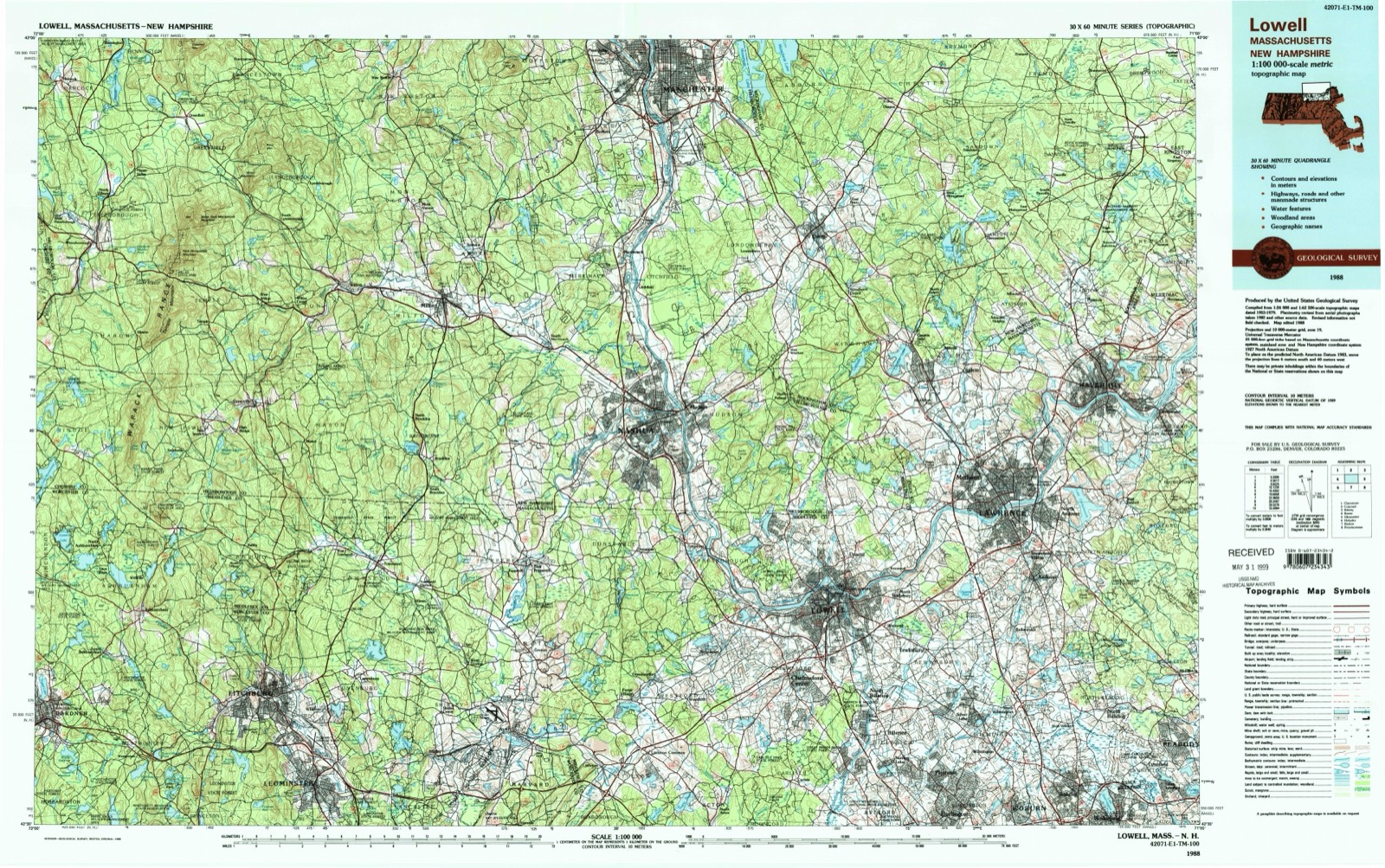
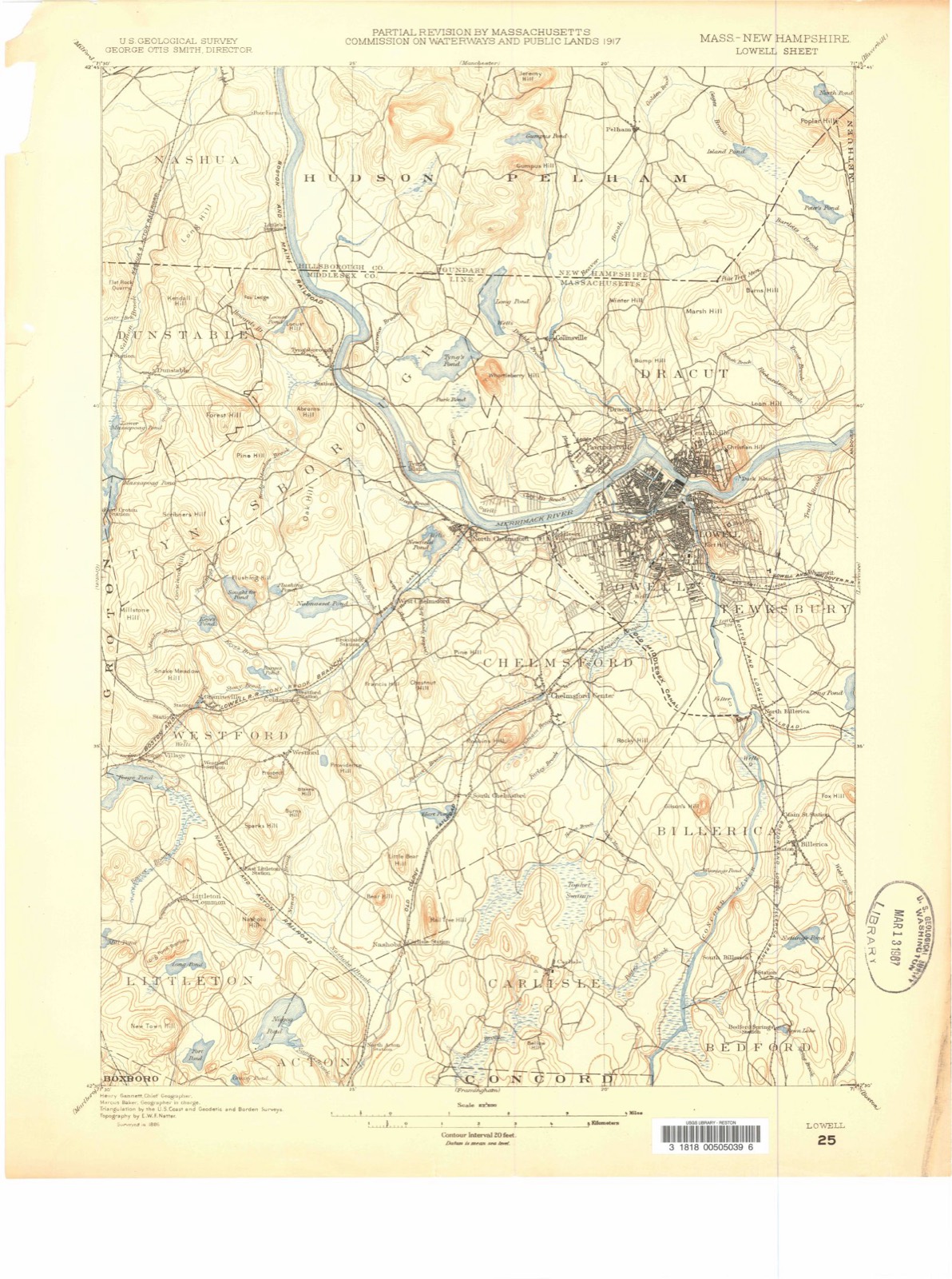
1886 to 1988The same ground, surveyed 102 years apart. Drag the handle to wipe between them. Both sheets are United States Geological Survey originals; neither has been altered.
On record in Carlisle
Buildings and businesses the archive holds for this place. Each opens its own page, with the source record it came from.
On the National Register 2 records
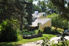 George Robbins Houselisted 1990
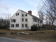 Zeb Spaulding Houselisted 1990
Surveyed buildings and structures 1 record
- Unitarian Church, Carlislefederal building survey, 1 photograph
Topographic sheets covering this place
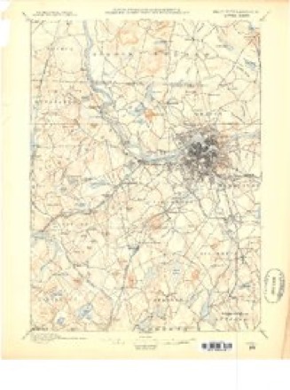
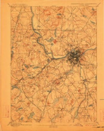
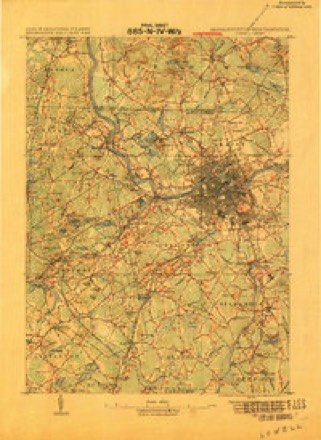
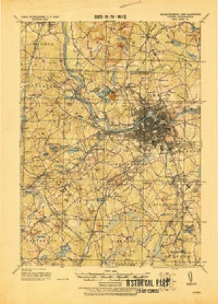
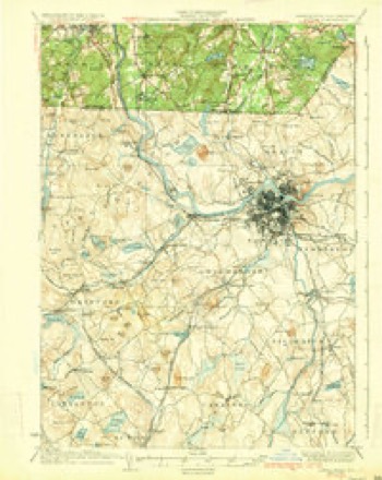
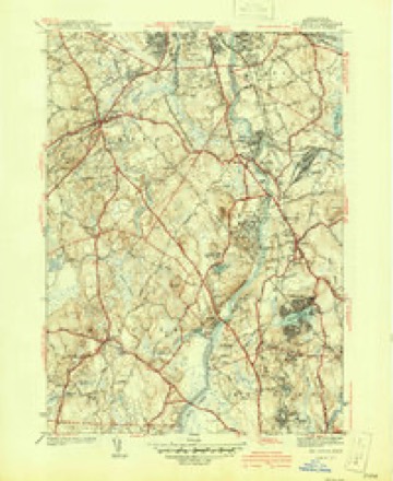
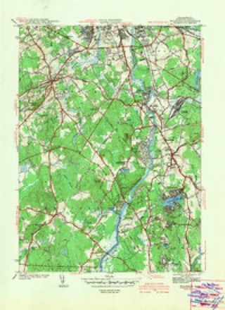
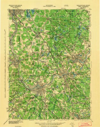
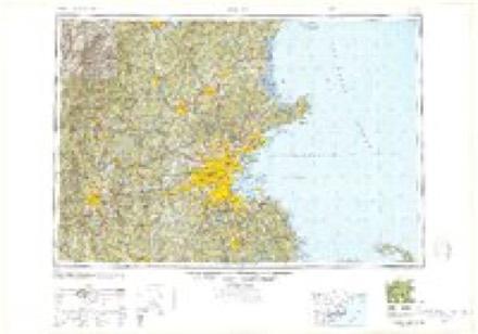
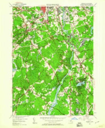
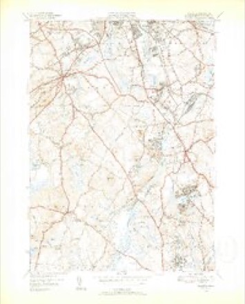
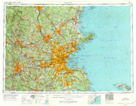
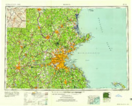
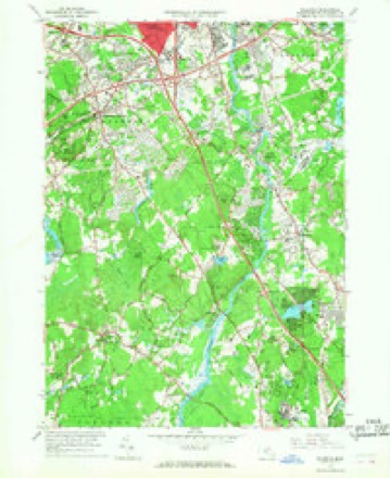
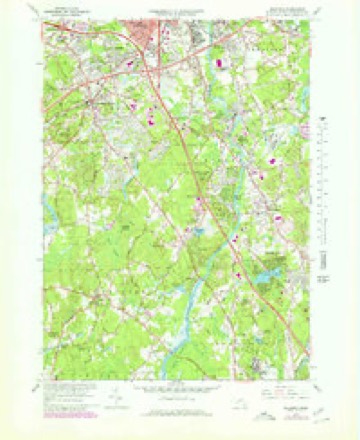
19 surveys from 41 printed sheetsMatched by testing this settlement's coordinate against the published boundary of every sheet in the United States Geological Survey's historical collection. Each opens the scanned sheet at the Survey.
- 1886 USGS Lowell quadrangle1:62500
- 1893 USGS Lowell quadrangle1:62500, 9 printings
- 1918 USGS Lowell quadrangle1:62500
- 1921 USGS Lowell quadrangle1:62500
- 1935 USGS Lowell quadrangle1:62500, 3 printings
- 1941 USGS Billerica quadrangle1:31680, 2 printings
- 1942 USGS Billerica quadrangle1:31680
- 1943 USGS Lowell quadrangle1:125000
- 1948 USGS Boston quadrangle1:250000, 2 printings
- 1950 USGS Billerica quadrangle1:24000, 2 printings
- 1950 USGS Billerica quadrangle1:31680, 2 printings
- 1956 USGS Boston quadrangle1:250000, 6 printings
- 1958 USGS Boston quadrangle1:250000, 2 printings
- 1961 USGS Boston quadrangle1:250000, 2 printings
- 1965 USGS Billerica quadrangle1:24000
- 1965 USGS Billerica quadrangle1:25000
- 1984 USGS Lowell quadrangle1:100000
- 1987 USGS Billerica quadrangle1:25000
- 1988 USGS Lowell quadrangle1:100000, 2 printings
Fires near this place
39 since 2008Regional context, not property-specific evidence. The federal wildfire occurrence database lists 39 fires within 5 miles of Carlisle between 2008 and 2020, burning about 19 acres in total. None started naturally. None was recorded as arson. Distance is straight-line from the map coordinates, so a fire counted here may appear on a neighbouring settlement's page as well.
| Reported cause | Fires |
|---|---|
| Debris and open burning | 21 |
| Missing data/not specified/undetermined | 16 |
| Recreation and ceremony | 2 |
The most recent of them, most recent first, with the day each was reported and the service that recorded it.
| Date | Cause | Size | Reported by | Name on the report |
|---|---|---|---|---|
| 17 August 2015 | Missing data/not specified/undetermined | under an acre | Massachusetts Bureau of Forest Fire Control | not named |
| 2 July 2015 | Missing data/not specified/undetermined | 1.0 acres | Massachusetts Bureau of Forest Fire Control | not named |
| 6 June 2020 | Debris and open burning | under an acre | Massachusetts Bureau of Forest Fire Control | not named |
| 25 June 2020 | Debris and open burning | 1.0 acres | Massachusetts Bureau of Forest Fire Control | not named |
| 17 June 2020 | Debris and open burning | under an acre | Massachusetts Bureau of Forest Fire Control | not named |
| 8 May 2020 | Missing data/not specified/undetermined | under an acre | Massachusetts Bureau of Forest Fire Control | not named |
| 8 May 2020 | Debris and open burning | under an acre | Massachusetts Bureau of Forest Fire Control | not named |
| 8 May 2020 | Debris and open burning | under an acre | Massachusetts Bureau of Forest Fire Control | not named |
Settlements close enough to share some of these fires:
Specimens collected near this place
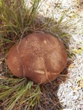
12 of 535 shownRegional context, not property-specific evidence. Museums hold 535 specimens collected within 10 miles of Carlisle between 1898 and 1975: 251 Animalia, 199 Plantae, 77 Fungi, 4 Protozoa, 3 Chromista, 1 Unrecorded. 12 distinct Species records are shown. Collected by A. B. Seymour, A. B. Seymour & M. D. Feigley, A. E. Feldman and others. Each is a physical object with a catalogue number, and each entry opens the museum's record. This is what was collected and kept, not a survey of what lives here - nothing can be concluded from a species being absent.
| Image | Species | Year | Collected by | Where, as recorded |
|---|---|---|---|---|
 | Boletus griseus Frost | 1898 | H. Webster | |
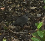 | Dumetella carolinensis (Linnaeus, 1766) | 1898 | Collector(s): Will C. Colt | Lincoln |
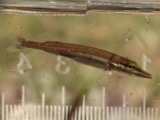 | Esox americanus Gmelin, 1789 | 1898 | E. Preble | Maple Meadow Brook near Wilmington, Massachusetts |
 | Exosporium pusillum P.Karst. | 1898 | King C. A. | Stony Brook |
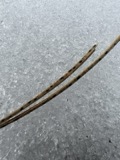 | Lophodermium pinastri (Schrad.) Chevall. | 1898 | Hubbard F. T.; Hall G. G. | Lincoln |
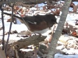 | Pipilo erythrophthalmus erythrophthalmus (Linnaeus, 1758) | 1898 | not recorded | Lincoln |
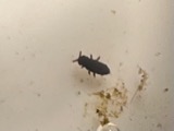 | Podura aquatica C.Linnæus, 1758 | 1898 | not recorded | |
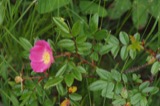 | Rosa nitida Willd. | 1898 | C. H. Knowlton | |
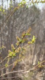 | Salix eriocephala Michx. | 1898 | E. F. Williams | |
| Araiospora pulchra Thaxt. | 1900 | Thaxter, R. | Stony Brook | |
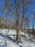 | Betula alleghaniensis Britton | 1900 | E. F. Williams | |
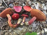 | Boletus frostii J.L.Russell | 1900 | A. W. Flint |
All 535 specimens within 10 miles, at the Global Biodiversity Information Facility.
Mines and quarries near this place
8 within 5 milesRegional context, not property-specific evidence. The federal mineral resources record lists 8 workings within 5 miles of Carlisle: 5 past producers, 2 producers, 1 occurrence. 2 still produce. What was taken out: Sand and Gravel, Construction, Copper. Distance is straight-line from the map coordinates, so a quarry counted here may appear on a neighbouring settlement's page as well.
| Where | Site | Commodity | Status | Recorded |
|---|---|---|---|---|
| Carlisle Deposit | Copper | Occurrence | ||
| Cu Prospect | Copper | Past Producer | ||
| Acton Plant | Sand and Gravel, Construction | Producer | ||
| Britt Construction | Sand and Gravel, Construction | Past Producer | Sedimentary | |
| Britt Pit | Sand and Gravel, Construction | Past Producer | ||
| Kennedy Brothers Acton Sand and Gra | Sand and Gravel, Construction | Past Producer | Sedimentary | |
| Nardone Pit | Sand and Gravel, Construction | Producer | ||
| Nardone Sand and Gravel Co | Sand and Gravel, Construction | Past Producer | Sedimentary |
Storms near this place
3 since 2019Regional context, not property-specific evidence. The National Weather Service names Carlisle in 3 storm reports between 2019 and 2023: 2 thunderstorm wind, 1 hail. No death or injury is recorded in these reports. Each account below is quoted exactly as the forecast office filed it, from the NOAA Storm Events Database, and each date opens the federal record of that event.
| When | Event | Place named | Harm | What the report says |
|---|---|---|---|---|
| July 2020 | Thunderstorm Wind | Carlisle | $3,500 | In Carlisle, a tree was down on the Police station on Lowell Street. Also, there were multiple trees down on both Curve Street and Proctor Road. |
| September 2023 | Thunderstorm Wind | Carlisle | $500 | In Carlisle, there was a tree blocking Rutland St. |
| June 2019 | Hail | Carlisle | - | At 2:28 PM EST, an amateur radio operator reported three-quarter inch diameter hail in Carlisle. |
Nearest settlements
The eight closest, with where each one stands in the county. Distances are straight-line, computed from the Geographic Names Information System coordinates.
| Map | Place | Distance | Sheets |
|---|---|---|---|
| Riverside | 2.5 miles | 41 | |
| Rio Vista | 2.5 miles | 41 | |
| Carlisle Station | 2.6 miles | 43 | |
| South Chelmsford | 3.2 miles | 43 | |
| Plain | 3.4 miles | 48 | |
| North Acton | 3.5 miles | 43 | |
| South Billerica | 3.7 miles | 41 | |
| West Bedford | 4.0 miles | 48 |
Provenance
This settlement is recorded in the Geographic Names Information System as feature 611774. The sheet list is computed by point-in-boundary test against the United States Geological Survey's historical topographic inventory. Both are works of the United States government and carry no copyright under 17 U.S.C. 105.
Wildfire. Short, Karen C. 2022. Spatial wildfire occurrence data for the United States, 1992-2020 [FPA_FOD_20221014]. 6th Edition. Fort Collins, CO: Forest Service Research Data Archive. https://doi.org/10.2737/RDS-2013-0009.6 Collected with United States Government funding and usable without additional permissions or fees.
Specimens. Global Biodiversity Information Facility (GBIF), https://www.gbif.org/. Only records licensed CC0 or CC BY are used. Records licensed CC BY-NC are excluded because this site carries advertising. Images are checked individually and any whose licence is non-commercial, no-derivatives or unreadable is refused.
Mines and quarries. USGS Mineral Resources Data System (MRDS) https://mrdata.usgs.gov/mrds/ A work of the United States government, no copyright under 17 U.S.C. 105.
Storms. NOAA National Centers for Environmental Information, Storm Events Database https://www.ncei.noaa.gov/stormevents/ A work of the United States government, no copyright under 17 U.S.C. 105. Narratives are quoted verbatim from the National Weather Service report and are not edited or summarised.