 Block
Block
Chelsea, Massachusetts
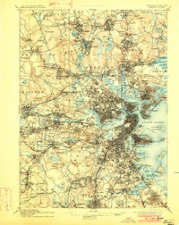
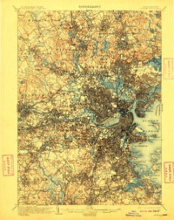
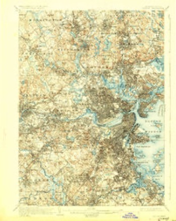
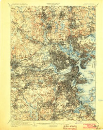
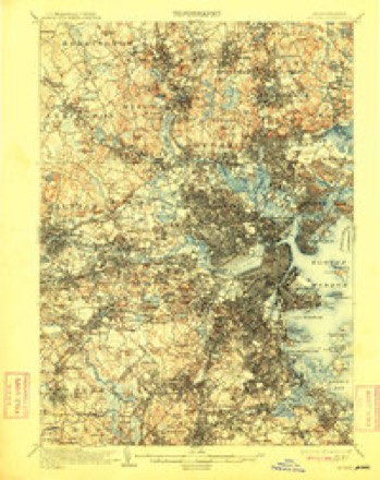
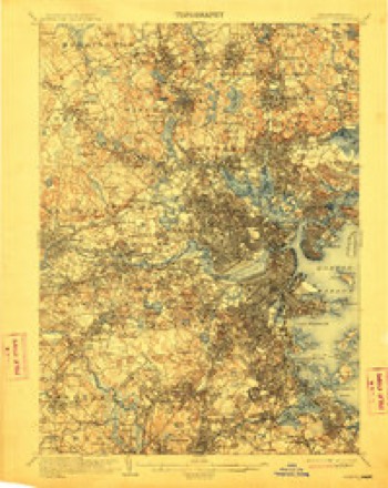
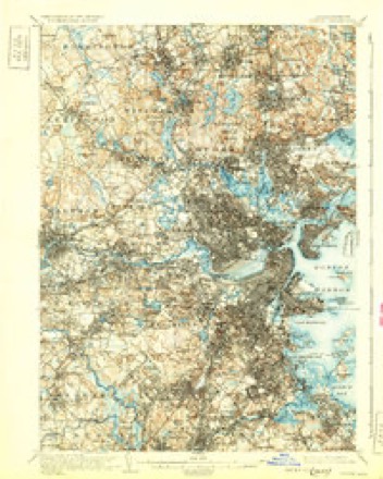
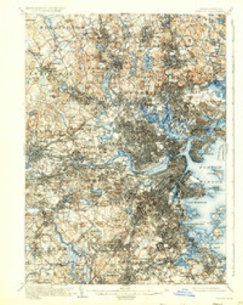
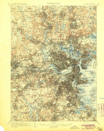
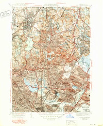
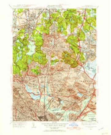
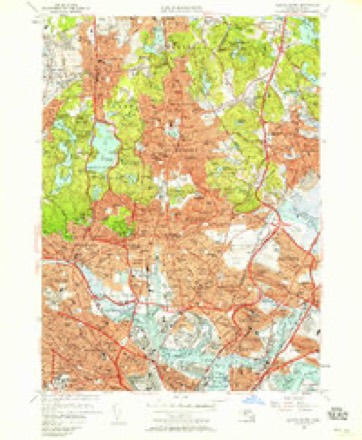
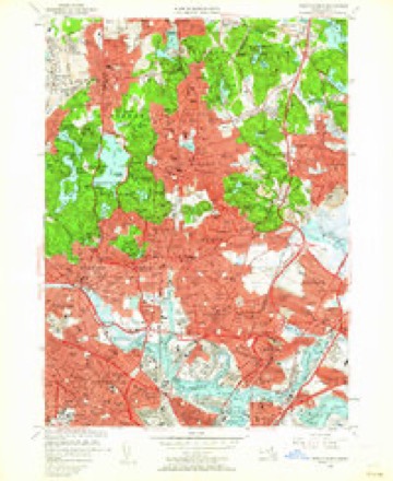
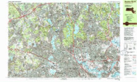
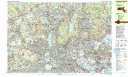
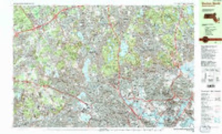
46 topographic sheets cover this place, the earliest surveyed in 1893 and the latest in 1989. It stands in Chelsea City. It lies in ZIP code area 02150. It stands on Mount Bellingham. The Survey maps it on the Boston North quadrangle. 40,787 people lived here at the 2020 count. It stands 10 feet above sea level.
Population over time
6 figuresChelsea grew from 34,000 to 40,787 between 1900 and 2020. These are the recorded population figures Wikidata holds for this place, reached through the Geographic Names Information System number this page is keyed on rather than by name, so they belong to this place and not to another of the same name. Most are census counts, but not all are: an early figure may be a founding or settlement estimate. The change column is computed, and is left blank where more than 20 years separate a figure from the one before it, because a gap that long is not a change between two counts.
| Year | People | Change |
|---|---|---|
| 1900 | 34,000 | |
| 1920 | 43,184 | +9,184 (+27%) |
| 1930 | 45,820 | +2,636 (+6%) |
| 2010 | 35,177 | |
| 2014 | 38,861 | +3,684 (+10%) |
| 2020 | 40,787 | +1,926 (+5%) |
Then and now
1893 to 1989The same ground, surveyed 96 years apart. Drag the handle to wipe between them. Both sheets are United States Geological Survey originals; neither has been altered.

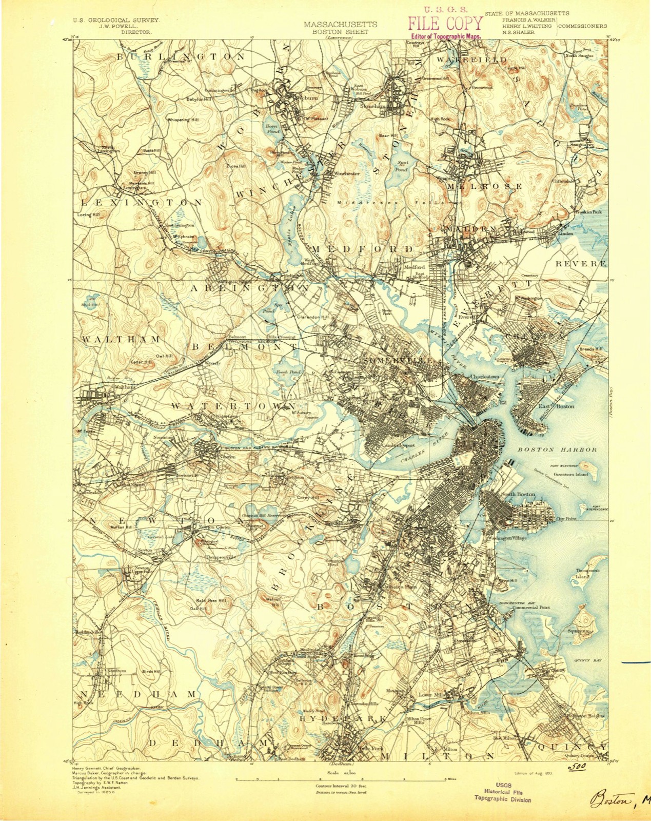
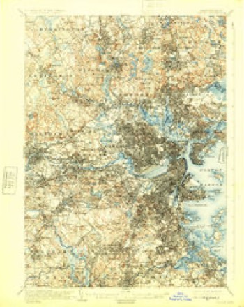
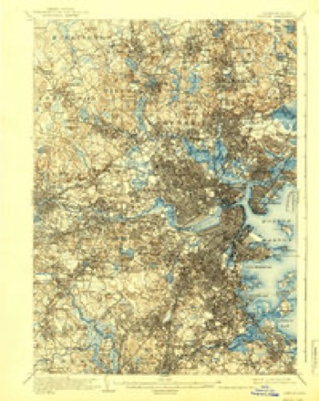
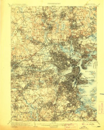
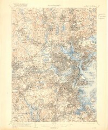
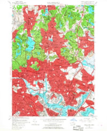
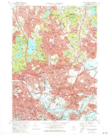
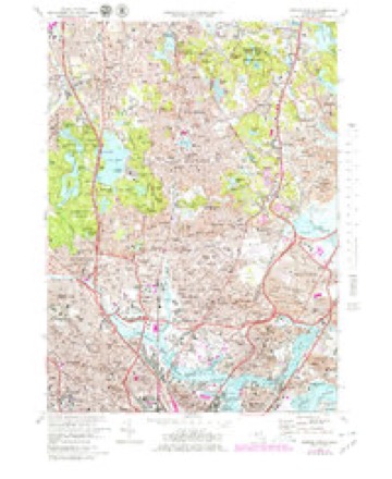
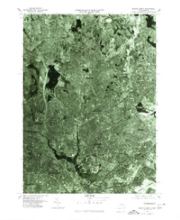
Topographic sheets covering this place
46 sheetsMatched by testing this settlement's coordinate against the published boundary of every sheet in the United States Geological Survey's historical collection. Each opens the scanned sheet at the Survey.
- 1893 USGS Boston quadrangle1:62500
- 1893 USGS Boston quadrangle1:62500
- 1893 USGS Boston quadrangle1:62500
- 1893 USGS Boston quadrangle1:62500
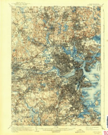
- 1903 USGS Boston quadrangle1:62500
- 1903 USGS Boston quadrangle1:62500
- 1903 USGS Boston quadrangle1:62500
- 1903 USGS Boston quadrangle1:62500
- 1903 USGS Boston quadrangle1:62500
- 1903 USGS Boston quadrangle1:62500
- 1903 USGS Boston quadrangle1:62500
- 1903 USGS Boston quadrangle1:62500
- 1903 USGS Boston quadrangle1:62500
- 1903 USGS Boston quadrangle1:62500
- 1903 USGS Boston quadrangle1:62500
- 1903 USGS Boston quadrangle1:62500
- 1903 USGS Boston quadrangle1:62500
- 1943 USGS Boston quadrangle1:125000
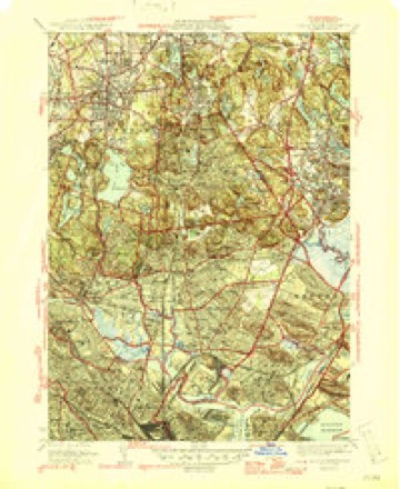
- 1943 USGS Boston North quadrangle1:24000
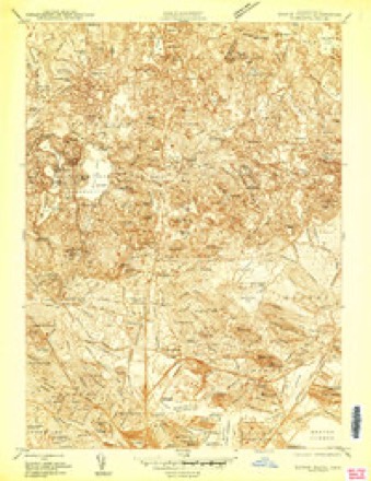
- 1946 USGS Boston North quadrangle1:31680
- 1946 USGS Boston North quadrangle1:31680
- 1948 USGS Boston quadrangle1:250000
- 1948 USGS Boston quadrangle1:250000
- 1949 USGS Boston North quadrangle1:31680
- 1956 USGS Boston quadrangle1:250000
- 1956 USGS Boston quadrangle1:250000
- 1956 USGS Boston quadrangle1:250000
- 1956 USGS Boston quadrangle1:250000
- 1956 USGS Boston quadrangle1:250000
- 1956 USGS Boston quadrangle1:250000
- 1956 USGS Boston North quadrangle1:24000
- 1956 USGS Boston North quadrangle1:24000
- 1956 USGS Boston North quadrangle1:24000
- 1958 USGS Boston quadrangle1:250000
- 1958 USGS Boston quadrangle1:250000
- 1961 USGS Boston quadrangle1:250000
- 1961 USGS Boston quadrangle1:250000
- 1971 USGS Boston North quadrangle1:24000
- 1971 USGS Boston North quadrangle1:25000
- 1977 USGS Boston North quadrangle1:25000
- 1985 USGS Boston quadrangle1:100000
- 1985 USGS Boston North quadrangle1:25000
- 1985 USGS Boston North quadrangle1:25000
- 1985 USGS Boston North quadrangle1:25000
- 1989 USGS Boston quadrangle1:100000
- 1989 USGS Boston quadrangle1:100000
















In the county-history sources
1,293 words on this townshipProfessional and Industrial History of Suffolk County, Massachusetts, published 1894 names this settlement in its chapter on Chelsea City. These are the passages that mention it, exactly as the scans read.
Chehsea, then comprising Chelsea, Revere and Winthrop, was set off from Boston in 1739. The Post-Office at Chelsea was established July 0, 1833. In 1846 North Chelsea, comprising Revere and Winthrop, was set off. In 1857 Chelsea became a City. It covers about 1,440 acres, has about 30,000 inhabitants (August 1, 1893), 5,000 houses, fifty miles of streets, and the highest point rises two hundred and twenty feet above sea level.
Passage source: Professional and Industrial History of Suffolk County, Massachusetts, published 1894.
The first Postmaster at Chelsea was Horatio Alger (the Otffcial Registers call him Algier), father of the story teller. He served until March 31, 1843. His successor was Abel Bowen. From 1844 to 1850 Benjamin Dodge served. Mrs. Sarah A. Newell was Postmaster from 1850 to 1854; Gideon W. Young from 1854 to 1861; Hadley P. Burrill from 1861 to 1869; Clifton A. Blanchard from 1869 to June 30, 1873, when the independent Post-Otficc ceased, being changed to a Station of the Boston Post-OiSce.
Passage source: Professional and Industrial History of Suffolk County, Massachusetts, published 1894.
Mr. Blanchard continued as vSuperintcndent until his death in 1879. His successor was Mrs. Mary A. Crowell (now Mrs. William G. Wheeler), appointed October 17, 1879, who continued until 1887. William H. Cate, Jr., served from 1887 imtil October, 1889; Ezra O. Winsor from November 1, 1889. The .Station at Chelsea is thought a model establishment. It employs four Clerks, eighteen Letter-Carriers, and lias daily more than twelve arrivals and despatches of mails.
Passage source: Professional and Industrial History of Suffolk County, Massachusetts, published 1894.
Machine-read from a century-old scan, so expect the errors a machine makes: misspelled names, dropped words, stray characters.
Photographs
1 photograph,Taken for the Office of War Information and the Farm Security Administration, who photographed the country between 1935 and 1944. Works of United States government photographers, with no known restriction on use. Each opens its catalogue record.
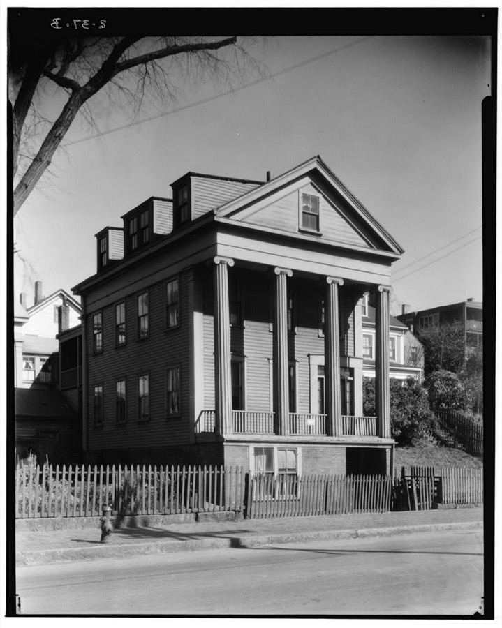
Unattributed, . Library of Congress
Fires near this place
38 since 2015Regional context, not property-specific evidence. The federal wildfire occurrence database lists 38 fires within 5 miles of Chelsea between 2015 and 2020, burning about 19 acres in total. None started naturally. 3 were recorded as arson. Distance is straight-line from the map coordinates, so a fire counted here may appear on a neighbouring settlement's page as well.
| Reported cause | Fires |
|---|---|
| Missing data/not specified/undetermined | 16 |
| Debris and open burning | 12 |
| Recreation and ceremony | 3 |
| Arson/incendiarism | 3 |
| Smoking | 3 |
| Misuse of fire by a minor | 1 |
The most recent of them, most recent first, with the day each was reported and the service that recorded it.
| Date | Cause | Size | Reported by | Name on the report |
|---|---|---|---|---|
| 4 September 2018 | Missing data/not specified/undetermined | under an acre | Massachusetts Bureau of Forest Fire Control | not named |
| 3 September 2018 | Missing data/not specified/undetermined | under an acre | Massachusetts Bureau of Forest Fire Control | not named |
| 3 September 2018 | Missing data/not specified/undetermined | under an acre | Massachusetts Bureau of Forest Fire Control | not named |
| 23 September 2019 | Missing data/not specified/undetermined | under an acre | Massachusetts Bureau of Forest Fire Control | not named |
| 23 September 2019 | Missing data/not specified/undetermined | under an acre | Massachusetts Bureau of Forest Fire Control | not named |
| 22 September 2019 | Missing data/not specified/undetermined | under an acre | Massachusetts Bureau of Forest Fire Control | not named |
| 21 September 2020 | Missing data/not specified/undetermined | under an acre | Massachusetts Bureau of Forest Fire Control | not named |
| 2 September 2017 | Recreation and ceremony | under an acre | Massachusetts Bureau of Forest Fire Control | QUINCY |
Settlements close enough to share some of these fires:
Specimens collected near this place
12 of 16,801 shownRegional context, not property-specific evidence. Museums hold 16,801 specimens collected within 10 miles of Chelsea between 1810 and 1975: 7,656 Plantae, 4,103 Fungi, 3,228 Animalia, 1,284 Chromista, 229 Bacteria, 180 Protozoa, 121 Unrecorded. 12 distinct Species records are shown. Collected by ?, A B Seymour, A C Gibson and others. Each is a physical object with a catalogue number, and each entry opens the museum's record. This is what was collected and kept, not a survey of what lives here - nothing can be concluded from a species being absent.
| Image | Species | Year | Collected by | Where, as recorded |
|---|---|---|---|---|
 | Thalictrum L. | 1810 | Boott, J.W. | Near Boston. |
 | Anemone L. | 1815 | Boott, J. | Andover Turnpike, 7 miles from Boston. |
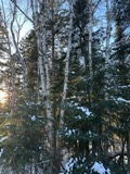 | Betula L. | 1815 | Boott, J.W. | Near Fresh Pond, Cambridge, 4 miles from Boston. |
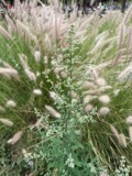 | Chenopodium album L. | 1815 | not recorded | Gathered at Bunker (properly Breed's) Hill. |
 | Corylus L. | 1815 | not recorded | Cambridge Port, 2 miles from Boston. |
| Ericaceae | 1815 | Boott | Boston, U.S.A. | |
| Acanthis flammea flammea (Linnaeus, 1758) | 1900 | ZAPPEY, W R | ROSLINDALE | |
| Acer carpinifolium Siebold & Zucc. | 1900 | A. K. Harrison | Harvard Botanic Garden, Cambridge. | |
| Acer palmatum var. dissectum (Thunb.) Miq. | 1900 | A. K. Harrison | Harvard Botanic Garden, Cambridge. | |
| Agaricus flavescens (Gillet) Sacc. | 1900 | G. E. Morris | ||
| Agarum turneri Postels & Ruprecht | 1900 | J. Murdoch | Revere | |
| Alnus incana subsp. rugosa (Du Roi) R.T.Clausen | 1900 | J. Murdoch, Jr. | Roxbury |
All 16,801 specimens within 10 miles, at the Global Biodiversity Information Facility.
Mines and quarries near this place
10 of 14 shownRegional context, not property-specific evidence. The federal mineral resources record lists 14 workings within 5 miles of Chelsea: 9 plants, 2 past producers, 2 producers, 1 unknown. 11 still produce. What was taken out: Iron, Lead, Stone, Crushed/Broken, Gypsum-Anhydrite. Distance is straight-line from the map coordinates, so a quarry counted here may appear on a neighbouring settlement's page as well.
| Where | Site | Commodity | Status | Recorded |
|---|---|---|---|---|
| (Facility) Vulcan Smelter--Chelsea, Ma. | Copper, Lead | Plant | ||
| C. J. Mabardy | Sand and Gravel, Construction | Past Producer | ||
| Syncor Prdts Co--Malden, Ma. | Silica | Plant | ||
| Us Gypsum Co--Boston | Gypsum-Anhydrite | Past Producer | ||
| Whittemore Prdts Inc--Boston | Perlite | Plant | ||
| (Facility) Cambridge Smelter Co | Lead | Plant | ||
| General Metals & Smelting--Boston | Lead | Plant | ||
| Industrial Serv. Centers--Cambridge | Iron | Plant | ||
| Malden Quarry | Stone, Crushed/Broken | Unknown | ||
| Malden Quarry | Stone, Crushed/Broken | Producer |
Storms near this place
10 since 2006Regional context, not property-specific evidence. The National Weather Service names Chelsea in 10 storm reports between 2006 and 2023: 5 flood, 2 thunderstorm wind, 2 flash flood, 1 tornado. The reports record 2 injuries. Each account below is quoted exactly as the forecast office filed it, from the NOAA Storm Events Database, and each date opens the federal record of that event.
| When | Event | Place named | Harm | What the report says |
|---|---|---|---|---|
| July 2014 | Tornado (EF2) | Chelsea | 2 hurt, $4,000,000 | The tornado touched down in Chelsea, where a window was blown out on Dudley Street. However, the overwhelming majority of damage occurred in Revere. Most of the damage was rated EF-1, but EF-2 rated damage did occur near Revere Beach Parkway. ||From Chelsea, the tornado moved across the Chelsea River, directly across the Paul Cronin Memorial Skating Rink. Portions of the rink's roof were blown northeastward across Route 16. Numerous houses on Revere Beach Parkway were damaged, with one roof blown completely off. In that same area, large oak trees were snapped in half. Numerous trees were downed, some of which were lifted up and then deposited on top of houses immediately behind Revere Beach Parkway.||The damage was widespread throughout much of the center of Revere. The tornado traveled northward, following Route 107 or Broadway for the most part. Windows were blown out of town hall and the roof was damaged. A large birch tree was uprooted near town hall. Sixty-four structures sustained damage that ranged from siding torn off to roofs lifted or blown off. Thirteen of these structures (6 - 1 & 2 family homes, 3 - multifamily homes, and 4 commercial buildings) were deemed uninhabitable by building inspectors. Several store signs were destroyed. Debris from homes collected on fences. Trees fell on cars, a few of these crushed.||Revere High School also sustained damage, mainly to the exterior. Side panels, fencing, sidewalks, and air handlers on the roof were damaged.||Police reported a car that had been overturned at the intersection of Revere Street and Carleton Avenue. Finally, near the rotary at Route 60 and Broadway, a billboard was blown onto several cars.||City officials estimated that city owned buildings alone sustained at least 1.5 to 2 million dollars of damage. ||While no major injuries were reported, several minor injuries occurred. An 86 year old woman suffered from a head laceration which she sustained from flying debris while standing outside a Dunkin Donuts. A two week old baby girl strapped in the back seat of a truck was injured when a board flew through the rear windshield of the vehicle. The board missed the infant but covered her in broken glass. |
| September 2017 | Flood | Chelsea | $40,000 | At 749 AM EST in the Orient Heights section of Boston, multiple basements on Ashley and Bennington Streets were flooded and the backyards had 3 to 4 feet of water. |
| October 2014 | Flood | Chelsea | $30,000 | In Chelsea, cars were stuck in flood waters near Third Street. Several streets were closed due to flooding including: Second Street, Willow Street, Vale Street, and Third Street. |
| May 2006 | Thunderstorm Wind | Chelsea | $8,000 | no account filed |
| June 2021 | Thunderstorm Wind | Chelsea | $500 | In Chelsea, a tree was down on Central Avenue. |
| July 2023 | Flash Flood | Chelsea | - | In Chelsea, there was significant street flooding on Rt 1 near Carter St. |
| July 2019 | Flood | Chelsea | - | Flooding was reported on Route 16 near Sweester Circle and the northeast Expressway in Everette. |
| September 2018 | Flash Flood | Chelsea | - | At 10:40 AM EST, Vernon Road in Chelsea was closed due to flooding. |
| July 2017 | Flood | Chelsea | - | At 717 PM EST, Carter Street in Chelsea was under a foot and a half of water between Addison Street and Beech Street. At 724 PM, the Revere Beach Parkway eastbound near Webster Avenue was closed due to flooding. |
| July 2017 | Flood | Chelsea | - | At 621 PM EST, an emergency manager reported widespread flooding through the city of Chelsea, resulting in manhole covers popping off. At 631 PM EST, amateur radio operators reported Second Street, Shurtleff Street, and Vale Street were all flooded and impassable. |
Nearest settlements
The eight closest, with where each one stands in the county. Distances are straight-line, computed from the Geographic Names Information System coordinates.
| Map | Place | Distance | Sheets |
|---|---|---|---|
| East Boston | 1.2 miles | 46 | |
| Orient Heights | 1.6 miles | 46 | |
| Revere | 1.6 miles | 46 | |
| Charlestown | 1.8 miles | 46 | |
| Jeffries Point | 1.8 miles | 46 | |
| Suffolk Downs Station | 1.9 miles | 43 | |
| North End | 2.2 miles | 46 | |
| Court Park | 2.4 miles | 41 |
Elsewhere
Matched on this settlement's Geographic Names Information System number rather than its name, so it cannot be a different place of the same name in another state.
| Wikipedia article on Chelsea | An encyclopaedic summary. Its text is share-alike, so it is linked here rather than copied. |
| Wikidata item Q54156 | The structured record the population and elevation above come from. Public domain (CC0). |
Provenance
This settlement is recorded in the Geographic Names Information System as feature 612723. The sheet list is computed by point-in-boundary test against the United States Geological Survey's historical topographic inventory. Both are works of the United States government and carry no copyright under 17 U.S.C. 105.
Wildfire. Short, Karen C. 2022. Spatial wildfire occurrence data for the United States, 1992-2020 [FPA_FOD_20221014]. 6th Edition. Fort Collins, CO: Forest Service Research Data Archive. https://doi.org/10.2737/RDS-2013-0009.6 Collected with United States Government funding and usable without additional permissions or fees.
Specimens. Global Biodiversity Information Facility (GBIF), https://www.gbif.org/. Only records licensed CC0 or CC BY are used. Records licensed CC BY-NC are excluded because this site carries advertising. Images are checked individually and any whose licence is non-commercial, no-derivatives or unreadable is refused.
Mines and quarries. USGS Mineral Resources Data System (MRDS) https://mrdata.usgs.gov/mrds/ A work of the United States government, no copyright under 17 U.S.C. 105.
Storms. NOAA National Centers for Environmental Information, Storm Events Database https://www.ncei.noaa.gov/stormevents/ A work of the United States government, no copyright under 17 U.S.C. 105. Narratives are quoted verbatim from the National Weather Service report and are not edited or summarised.