 Block
Block
Chickasaw, Ohio
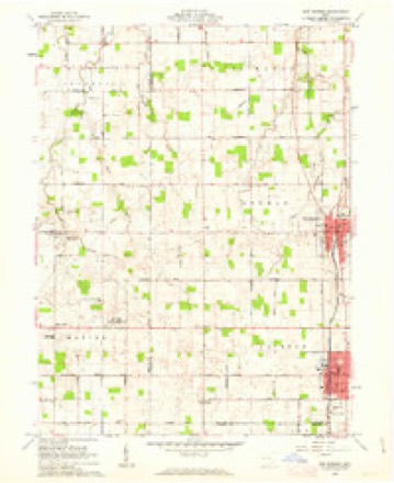
13 topographic sheets cover this place, the earliest surveyed in 1909 and the latest in 1986. It stands in Marion Township. It lies in ZIP code area 45826. The Survey maps it on the New Bremen quadrangle. 358 people lived here at the 2020 count. It stands 942 feet above sea level.
Population over time
2 figuresChickasaw grew from 290 to 358 between 2010 and 2020. These are the recorded population figures Wikidata holds for this place, reached through the Geographic Names Information System number this page is keyed on rather than by name, so they belong to this place and not to another of the same name. Most are census counts, but not all are: an early figure may be a founding or settlement estimate. The change column is computed, and is left blank where more than 20 years separate a figure from the one before it, because a gap that long is not a change between two counts.
| Year | People | Change |
|---|---|---|
| 2010 | 290 | |
| 2020 | 358 | +68 (+23%) |
Then and now
1909 to 1986The same ground, surveyed 77 years apart. Drag the handle to wipe between them. Both sheets are United States Geological Survey originals; neither has been altered.

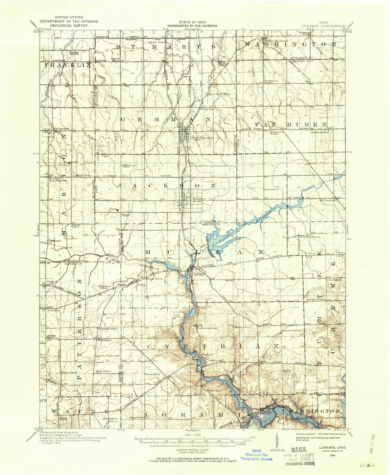
Topographic sheets covering this place
13 sheetsMatched by testing this settlement's coordinate against the published boundary of every sheet in the United States Geological Survey's historical collection. Each opens the scanned sheet at the Survey.
- 1909 USGS Loramie quadrangle1:62500
- 1911 USGS Loramie quadrangle1:62500
- 1944 USGS Loramie quadrangle1:62500
- 1953 USGS Muncie quadrangle1:250000
- 1953 USGS Muncie quadrangle1:250000
- 1953 USGS Muncie quadrangle1:250000
- 1953 USGS Muncie quadrangle1:250000
- 1953 USGS Muncie quadrangle1:250000
- 1956 USGS Muncie quadrangle1:250000
- 1961 USGS New Bremen quadrangle1:24000
- 1986 USGS Piqua quadrangle1:100000
- 1986 USGS Piqua quadrangle1:100000
- 1986 USGS Piqua quadrangle1:100000









In the county-history sources
1,639 words on this townshipHistory of Mercer County, Ohio, and Representative Citizens, published 1907 names this settlement in its chapter on Marion Township. These are the passages that mention it, exactly as the scans read.
The township is not cut up by any large streams of water. Chickasaw Creek, Little Beaver and Burnt Wood creeks all flow into the Great Reservoir, passing through portions of Marion and Franklin townships. This was the first township in the county to begin the building of gravel roads. It kept on with the work until the whole township is now supplied with the very best roads to be found in the county. There has been a steady improvement in all that goes to make a well-improved agricultural country. The farms have large and commodious barns and good, substantial, brick and frame houses of modern style and architecture. The township is dotted over with elegant churches and good schoolhouses. All of the churches in this township, without exception, are Roman Catholic and number six in all. The greater part of the population is now, as it always has been, composed of people of German nativity or ancestry.
Passage source: History of Mercer County, Ohio, and Representative Citizens, published 1907.
As in nearly all the townships, the first settlers selected homes on and along the streams of water. On Chickasaw Creek were located the families of Samuel Gray, Charles Botkin and John Miller, who were trustees in 1833. The first road supervisors, appointed in August, 1833, were Charles Botkin, William Botkin, William Ballinger, John Ballinger, Alexander Miller, William B. Winter, James L. Simes, Abel Worthington, John M. Gogil, Samuel T. Grant, John Davis, John Sprague, John Miller, Mathew Kearns, Samuel
Passage source: History of Mercer County, Ohio, and Representative Citizens, published 1907.
Is located in the northwest corner of the township and is a settlement of perhaps ioo people. The town was laid out by Charles Moore in December, 1840. Here was formerly located the Emlen Institute, established by Augustus Wattles, of Connecticut, as an educational institution for the colored people. The property was later bought by a Catholic order, the Congregation of the Most Precious Blood, which established St. Charles Seminary for the education of young men for the Catholic priesthood. This is the motherhouse of the American Province of the Fathers of the Most Precious Blood. St. Aloysius' Catholic Church is also located at Carthagena. The colored people are growing less in numbers every year, but they still support a church near Carthagena and had a school until a few years ago. The lands once owned by them have been bought by German people and but few colored residents now remain in the township. For many years it was their custom to hold a great jubilee on the first day of August of each year. Carthagena does not command much trade from the surrounding country, as the towns of Coldwater, St. Henry and Chickasaw are too near. It has, however, a general store owned by Anton Link and a carriage and agricultural implement store conducted by Joseph Hartke.
Passage source: History of Mercer County, Ohio, and Representative Citizens, published 1907.
Machine-read from a century-old scan, so expect the errors a machine makes: misspelled names, dropped words, stray characters.
Read the whole chapter on Marion Township - it names this place 1 more 1 time.
Specimens collected near this place
12 of 105 shownRegional context, not property-specific evidence. Museums hold 105 specimens collected within 10 miles of Chickasaw between 1886 and 1975: 99 Animalia, 4 Plantae, 1 Unrecorded, 1 Bacteria. 12 distinct Species records are shown. Collected by . R. Slonakerj, Brown, H P, C. Clark and others. Each is a physical object with a catalogue number, and each entry opens the museum's record. This is what was collected and kept, not a survey of what lives here - nothing can be concluded from a species being absent.
| Image | Species | Year | Collected by | Where, as recorded |
|---|---|---|---|---|
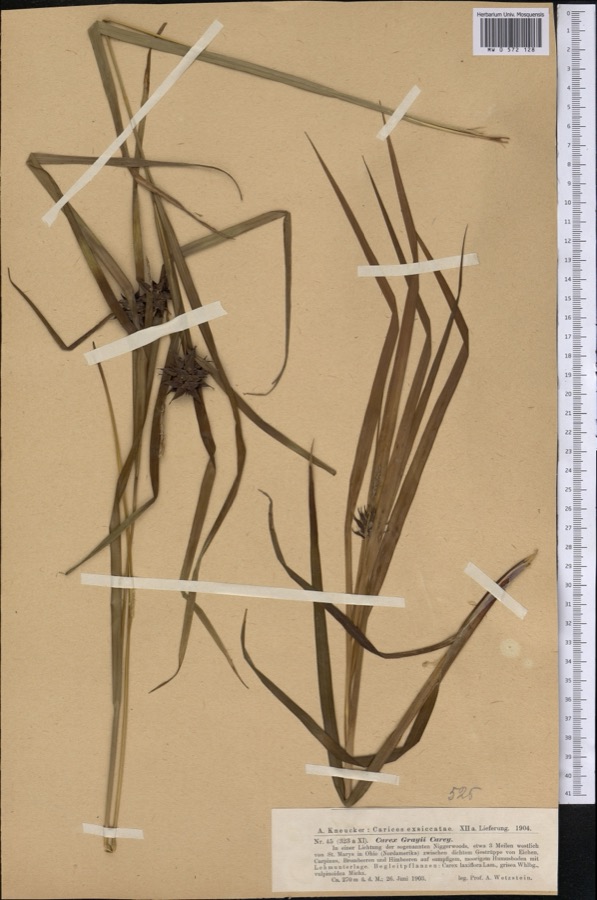 | Carex grayi J.Carey | 1903 | Wetzstein A. | |
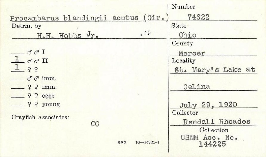 | Procambarus blandingii (Harlan, 1830) | 1920 | R. Rhoades | St. Marys Lake at Celina |
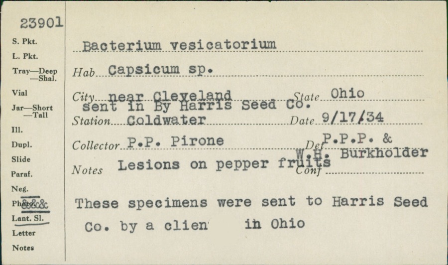 | unnamed | 1934 | P. P. Pirone | Coldwater |
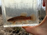 | Umbra limi (Kirtland, 1840) | 1886 | Meek and Harris | Montezuma |
 | Ardea alba egretta Gmelin, 1789 | 1888 | J. R. Slonaker | Celina |
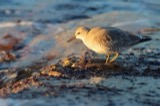 | Calidris canutus (Linnaeus, 1758) | 1888 | J. R. Slonaker | Celina |
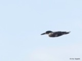 | Ceryle alcyon alcyon Cramp & Simmons, 1977-1994 | 1888 | J. R. Slonaker | Celina |
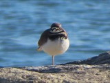 | Charadrius vociferus Linnaeus, 1758 | 1888 | J. R. Slonaker | Celina |
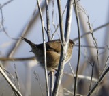 | Cistothorus palustris dissaeptus Bangs, 1902 | 1888 | J. R. Slonaker | Celina |
 | Gallinago gallinago delicata (Ord, 1825) | 1888 | J. R. Slonaker | Celina |
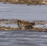 | Porzana carolina (Linnaeus, 1758) | 1888 | J.R.S. | Celina |
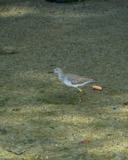 | Tringa flavipes (J.F.Gmelin, 1789) | 1888 | J. R. Slonaker | Celina |
All 105 specimens within 10 miles, at the Global Biodiversity Information Facility.
Storms near this place
3 since 1998Regional context, not property-specific evidence. The National Weather Service names Chickasaw in 3 storm reports between 1998 and 2026: 2 thunderstorm wind, 1 hail. No death or injury is recorded in these reports. Each account below is quoted exactly as the forecast office filed it, from the NOAA Storm Events Database, and each date opens the federal record of that event.
| When | Event | Place named | Harm | What the report says |
|---|---|---|---|---|
| March 2026 | Thunderstorm Wind | Chickasaw | $6,000 | A roof was blown off of a barn. |
| August 2008 | Thunderstorm Wind | Chickasaw | $3,000 | Trees and large limbs were downed. |
| May 1998 | Hail | Chickasaw | - | no account filed |
Nearest settlements
The eight closest, with where each one stands in the county. Distances are straight-line, computed from the Geographic Names Information System coordinates.
| Map | Place | Distance | Sheets |
|---|---|---|---|
| Sebastian | 1.3 miles | 13 | |
| Maria Stein | 2.0 miles | 13 | |
| Saint Johns | 2.3 miles | 13 | |
| Saint Rosa | 2.4 miles | 13 | |
| Carthagena | 3.5 miles | 13 | |
| Cassella | 3.7 miles | 13 | |
| Doss Landing | 4.5 miles | 14 | |
| The Maples | 4.6 miles | 14 |
Elsewhere
Matched on this settlement's Geographic Names Information System number rather than its name, so it cannot be a different place of the same name in another state.
| Wikipedia article on Chickasaw | An encyclopaedic summary. Its text is share-alike, so it is linked here rather than copied. |
| Wikidata item Q2221765 | The structured record the population and elevation above come from. Public domain (CC0). |
Provenance
This settlement is recorded in the Geographic Names Information System as feature 1039063. The sheet list is computed by point-in-boundary test against the United States Geological Survey's historical topographic inventory. Both are works of the United States government and carry no copyright under 17 U.S.C. 105.
Specimens. Global Biodiversity Information Facility (GBIF), https://www.gbif.org/. Only records licensed CC0 or CC BY are used. Records licensed CC BY-NC are excluded because this site carries advertising. Images are checked individually and any whose licence is non-commercial, no-derivatives or unreadable is refused.
Storms. NOAA National Centers for Environmental Information, Storm Events Database https://www.ncei.noaa.gov/stormevents/ A work of the United States government, no copyright under 17 U.S.C. 105. Narratives are quoted verbatim from the National Weather Service report and are not edited or summarised.