 Block
Block
Cassella, Ohio
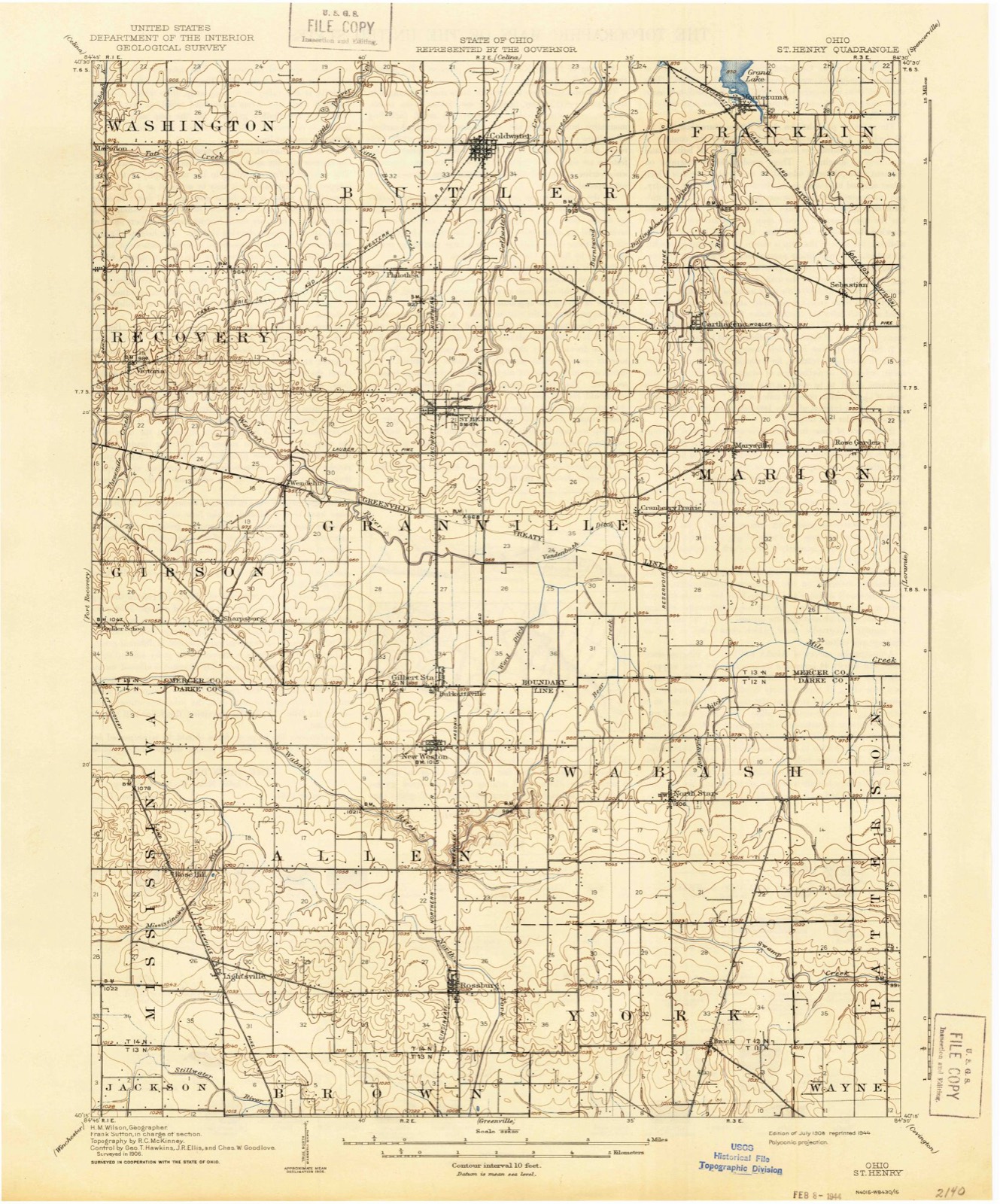
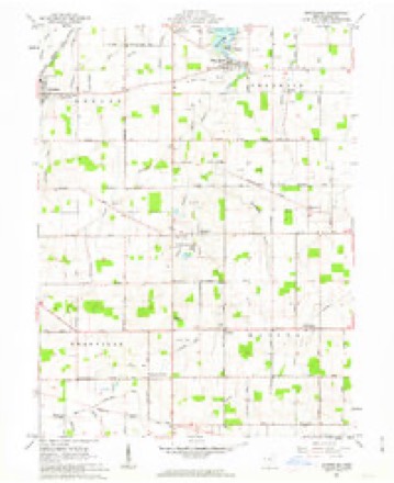
13 topographic sheets cover this place, the earliest surveyed in 1908 and the latest in 1986. It stands in Marion Township. It lies in ZIP code area 45860. The Survey maps it on the Montezuma quadrangle.
Then and now
1908 to 1986The same ground, surveyed 78 years apart. Drag the handle to wipe between them. Both sheets are United States Geological Survey originals; neither has been altered.

Topographic sheets covering this place
13 sheetsMatched by testing this settlement's coordinate against the published boundary of every sheet in the United States Geological Survey's historical collection. Each opens the scanned sheet at the Survey.
- 1908 USGS St. Henry quadrangle1:62500
- 1953 USGS Muncie quadrangle1:250000
- 1953 USGS Muncie quadrangle1:250000
- 1953 USGS Muncie quadrangle1:250000
- 1953 USGS Muncie quadrangle1:250000
- 1953 USGS Muncie quadrangle1:250000
- 1956 USGS Muncie quadrangle1:250000
- 1961 USGS Montezuma quadrangle1:24000
- 1961 USGS Montezuma quadrangle1:24000
- 1961 USGS Montezuma quadrangle1:24000
- 1986 USGS Piqua quadrangle1:100000
- 1986 USGS Piqua quadrangle1:100000
- 1986 USGS Piqua quadrangle1:100000









In the county-history sources
1,639 words on this townshipThe county-history sources names this settlement in its chapter on Marion Township. These are the passages that mention it, exactly as the scans read.
Machine-read from a century-old scan, so expect the errors a machine makes: misspelled names, dropped words, stray characters.
Read the whole chapter on Marion Township - it names this place 1 more 1 time.
Specimens collected near this place
12 of 107 shownRegional context, not property-specific evidence. Museums hold 107 specimens collected within 10 miles of Cassella between 1886 and 1975: 80 Animalia, 24 Fungi, 1 Unrecorded, 1 Bacteria, 1 Plantae. 12 distinct Species records are shown. Collected by A. D. Selby, Brown, H P, C. Clark and others. Each is a physical object with a catalogue number, and each entry opens the museum's record. This is what was collected and kept, not a survey of what lives here - nothing can be concluded from a species being absent.
| Image | Species | Year | Collected by | Where, as recorded |
|---|---|---|---|---|
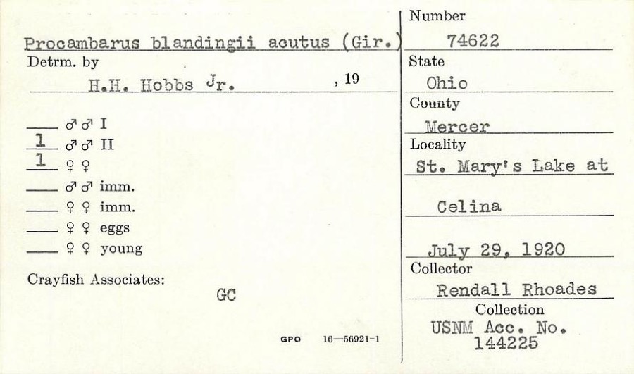 | Procambarus blandingii (Harlan, 1830) | 1920 | R. Rhoades | St. Marys Lake at Celina |
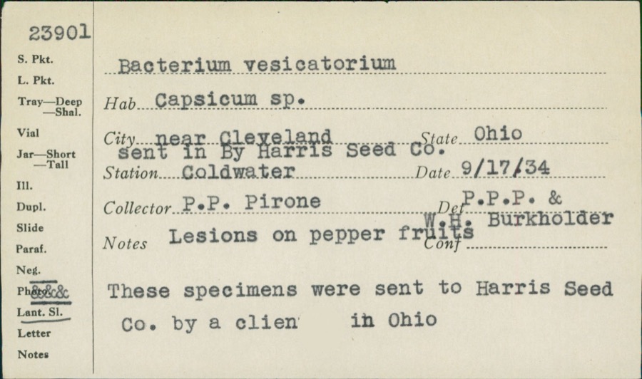 | unnamed | 1934 | P. P. Pirone | Coldwater |
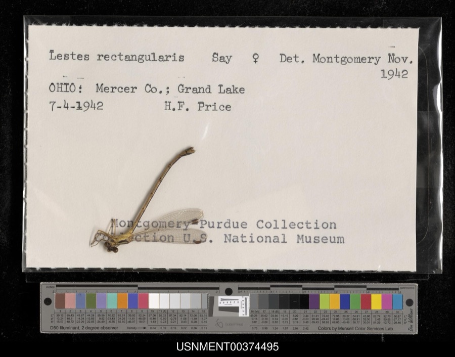 | Lestes rectangularis Say, 1840 | 1942 | H. Price | Grand Lake |
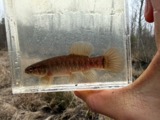 | Umbra limi (Kirtland, 1840) | 1886 | Meek and Harris | Montezuma |
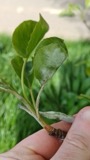 | Podosphaera leucotricha (Ellis & Everh.) E.S.Salmon | 1906 | Selby A. D. | Sharpsburg |
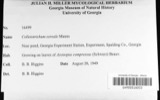 | Colletotrichum cereale Manns | 1908 | Selby A. D. | Sharpsburg |
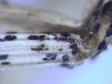 | Colletotrichum graminicola (Ces.) G.W.Wilson | 1908 | Selby A. D. | Sharpsburg |
| Glomerella graminicola D.J.Politis | 1908 | A. D. Selby | Sharpsburg. | |
 | Ardetta minuta (Linnaeus) | 1909 | Henninger, W. F. (Walther Frederick) | Grand Reservoir St. Marys [Grand Lake St. Marys State Park], Ohio |
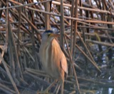 | Ixobrychus minutus (Linnaeus, 1766) | 1909 | Henninger, W. F. (Walther Frederick) | Grand Reservoir St. Marys [Grand Lake St. Marys State Park], Ohio |
 | Telmatodytes palustris (A.Wilson, 1810) | 1909 | Henninger, W. F. (Walther Frederick) | Grand Reservoir St. Marys [Grand Lake St. Marys State Park], Ohio |
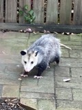 | Didelphis virginiana virginiana Kerr, 1792 | 1911 | L. L. Walters | Ft Recovery, 4 mi SE |
All 107 specimens within 10 miles, at the Global Biodiversity Information Facility.
Nearest settlements
The eight closest, with where each one stands in the county. Distances are straight-line, computed from the Geographic Names Information System coordinates.
| Map | Place | Distance | Sheets |
|---|---|---|---|
| Saint Rosa | 1.8 miles | 13 | |
| Cranberry Prairie | 1.9 miles | 13 | |
| Carthagena | 2.1 miles | 13 | |
| Maria Stein | 3.1 miles | 13 | |
| Sebastian | 3.1 miles | 13 | |
| Chickasaw | 3.7 miles | 13 | |
| Saint Johns | 4.1 miles | 13 | |
| Steinman (historical) | 4.1 miles | 15 |
Provenance
This settlement is recorded in the Geographic Names Information System as feature 1056772. The sheet list is computed by point-in-boundary test against the United States Geological Survey's historical topographic inventory. Both are works of the United States government and carry no copyright under 17 U.S.C. 105.
Specimens. Global Biodiversity Information Facility (GBIF), https://www.gbif.org/. Only records licensed CC0 or CC BY are used. Records licensed CC BY-NC are excluded because this site carries advertising. Images are checked individually and any whose licence is non-commercial, no-derivatives or unreadable is refused.