 Block
Block
Cilley, Ohio
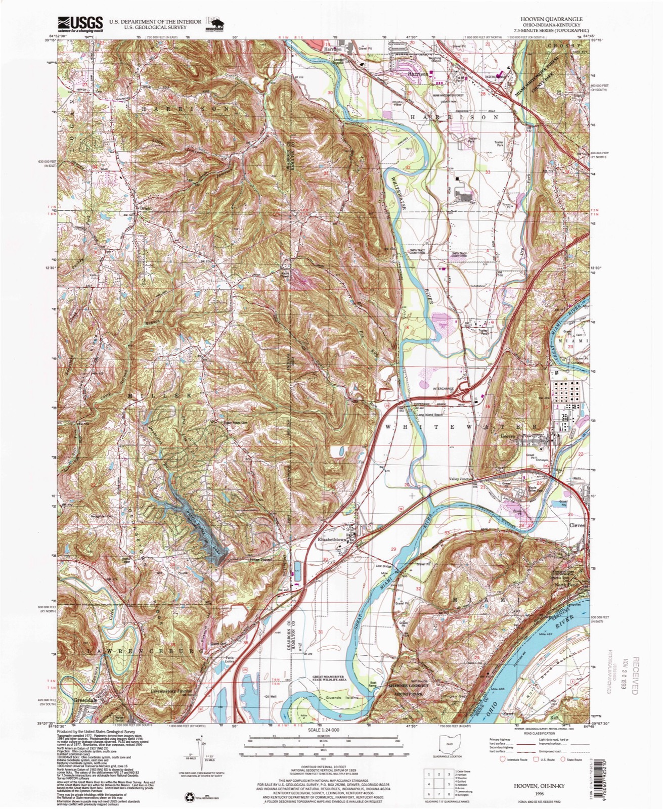
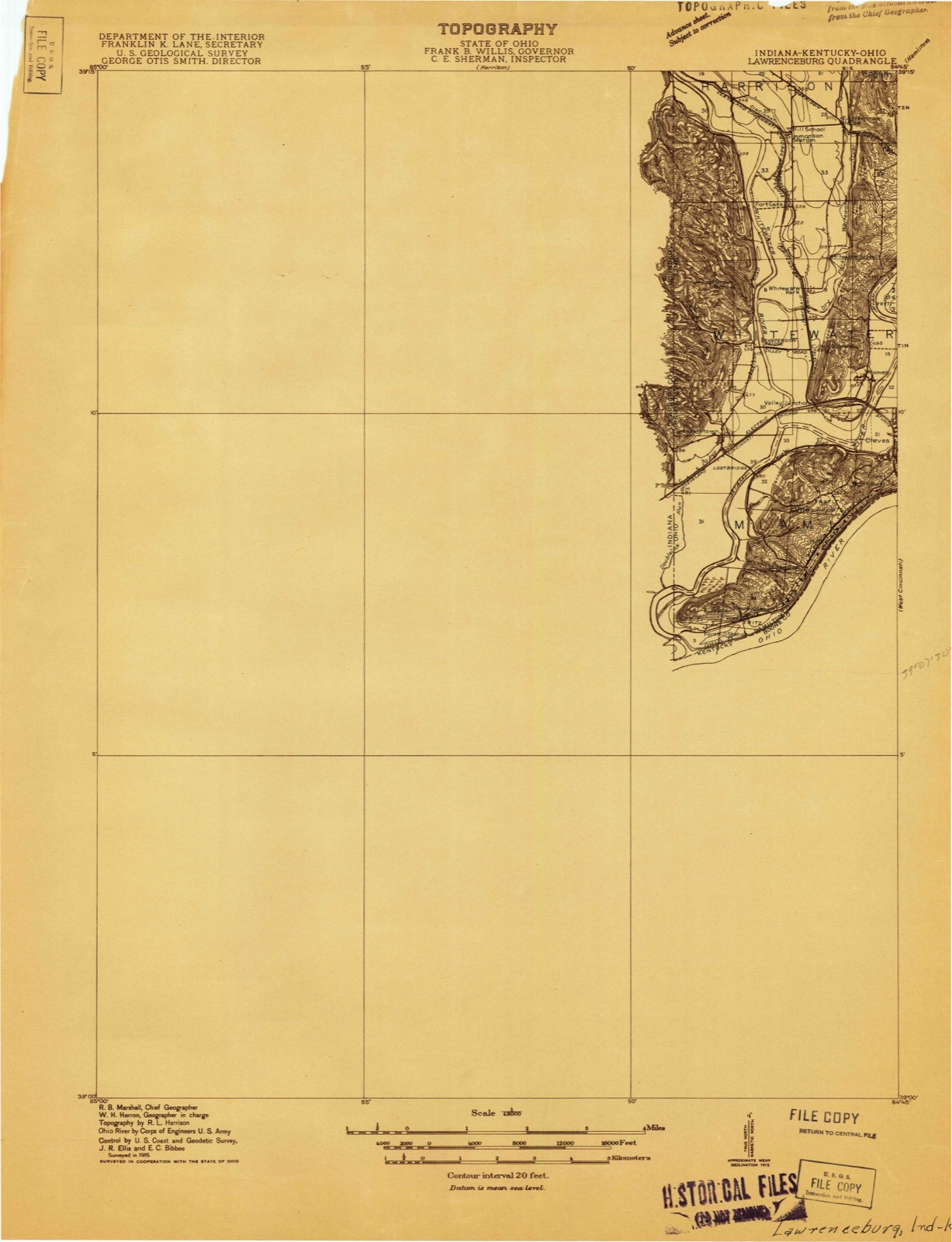
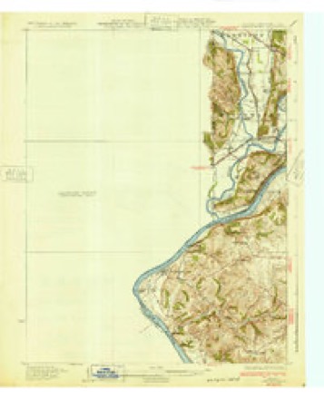
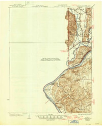
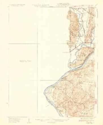
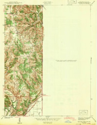
20 topographic sheets cover this place, the earliest surveyed in 1915 and the latest in 1996. It stands in Whitewater Township. It lies in ZIP code area 45030. It stands on Dry Fork Whitewater River. The Survey maps it on the Hooven quadrangle. The federal gazetteer marks this settlement historical: it is no longer a populated place, though the surveys that recorded it still are.
Then and now
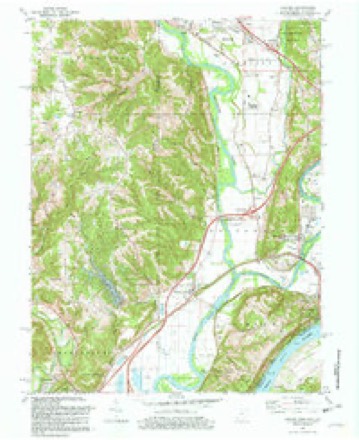
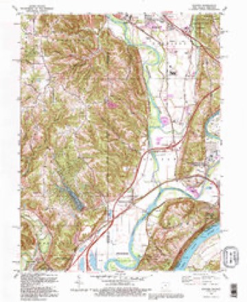
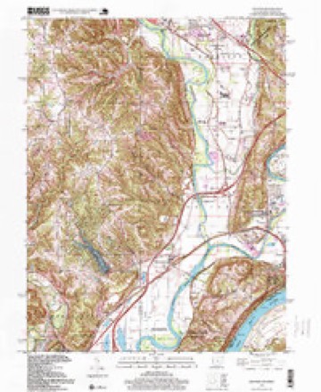
1915 to 1996The same ground, surveyed 81 years apart. Drag the handle to wipe between them. Both sheets are United States Geological Survey originals; neither has been altered.
Compare 1915 against another survey:
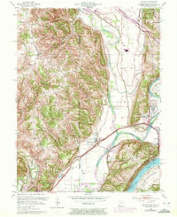
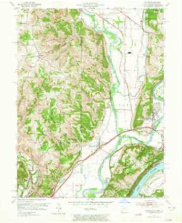
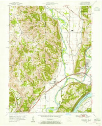
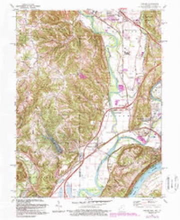
Topographic sheets covering this place
20 sheetsMatched by testing this settlement's coordinate against the published boundary of every sheet in the United States Geological Survey's historical collection. Each opens the scanned sheet at the Survey.
- 1915 USGS Lawrenceburg quadrangle1:48000
- 1928 USGS Lawrenceburg quadrangle1:62500
- 1932 USGS Lawrenceburg quadrangle1:62500
- 1932 USGS Lawrenceburg quadrangle1:62500
- 1932 USGS Lawrenceburg quadrangle1:62500
- 1943 USGS Hooven quadrangle1:24000
- 1953 USGS Cincinnati quadrangle1:250000
- 1953 USGS Cincinnati quadrangle1:250000
- 1953 USGS Cincinnati quadrangle1:250000
- 1954 USGS Hooven quadrangle1:24000
- 1954 USGS Hooven quadrangle1:24000
- 1954 USGS Hooven quadrangle1:24000
- 1957 USGS Cincinnati quadrangle1:250000
- 1981 USGS Hooven quadrangle1:24000
- 1981 USGS Hooven quadrangle1:24000
- 1986 USGS Cincinnati quadrangle1:100000
- 1986 USGS Cincinnati quadrangle1:100000
- 1986 USGS Cincinnati quadrangle1:100000
- 1992 USGS Hooven quadrangle1:24000
- 1996 USGS Hooven quadrangle1:24000







What happened here
An account from the chapter on Whitewater township, The inset identifies its exact source book and publication year.
Development Of Commerce
Before manufacturing can fairly begin in a new country, commerce and exchange must provide for the wants of a community in many directions. Local trade sets in as soon as there is anything to buy or sell, be it only a fish hooked from the water, or venison shot .in the forest. When Demand calls ''Hello!'' Supply answers ''Here I am.'' The Cincinnati pioneers in 1789 wanted seed-corn, and corn for hominy and bread, and immediately corn-meal came from Lexington, down the Licking, in canoes.
In the county-history sources
267,357 words on this townshipHistory of Hamilton County, Ohio, with Illustrations and Biographical Sketches, published 1881 names this settlement in its chapter on Whitewater Township. These are the passages that mention it, exactly as the scans read.
The religious element prevailed in the character of the early pioneers. The Sabbath was well and religiously observed. The Bible and the hymn-book were found in their cabins, and when no preacher led their services they assembled together generally in the cabin of John Benham, and held meetings for prayer, praise, and Christian conference. Thus they lived in peace and harmony. They needed no law to secure good order. Under the was Ezekiel Hughes, appointed by Governor Tiffin in October, 1805, and his docket showed but little business during his official life of over ten years.
Passage source: History of Hamilton County, Ohio, with Illustrations and Biographical Sketches, published 1881.
The Government land being surveyed, in 1802 it was offered for sale at public auction held in Cincinnati. The law required it to be sold in sections of six hundred and forty acres at not less than two dollars per acre. The sale was continued for several days, at its close the unsold land could be entered at one dollar and a quarter an acre. The first land sold, sections fifteen and sixteen, was bought by Ezekiel Hughes for two dollars and some cents per acre. At the sale competition for these choice sections ran high. Mr. Hughes, an immigrant from Wales, who had carefully noted the location and fertility of the sections, and a Pennsylvania German were the competitors, and eventually the Welshmen became the purchaser. All the rest of the land in the township was entered at Government price, and in a few years all Congress land was taken up either by speculators or by actual settlers. Among these were the Ewings, Mills, Piatt, Hunt, Oury, Perine, Cilley, and Andrews families. Mr. Piatt built the first frame house in the township, a part of which is now the parsonage of the Presbyterian church at Elizabethtown. Thomas Miller built the fir.n stone house; Peter Perine built the first mill on the Whitewater, for which he received a bonus of a quarter section of land.
Passage source: History of Hamilton County, Ohio, with Illustrations and Biographical Sketches, published 1881.
Lawrenceburgh. Thomas and Jacob Hunt always lived at the old homestead, and accumulated a large estate. They were members and liberal supporters of the Presbyterian church. Thomas Hunt served the church faithfully in the office of a ruling elder for over twenty years. The Presbyterian meeting-house and parsonage in Elizabethtown are monuments of their liberality and Christian lives. Edward Hunt, still surviving at the age of eighty-one years, was educated for mercantile business in the city of Cincinnati, and has been in active business, farming and merchandising, until laid aside by the infirmities of age. He has been actively engaged in the Sabbath-school work, and in laboring for the advancement of religion in the township for over fifiy years. In 1830 he married Miss Ann Hughes, eldest daughter of Ezekiel Hughes, esq., and their children - Thomas, Jacob, and Mary, who married Joseph Cilley, esq. - are living in the neighborhood, highly esteemed and useful citizens. George VV. Haire, esq., of Elizabethtown, is a son of Susan Hunt. He has been in public life, as a magistrate, a county surveyor and engineer, and for many years superintendent of Sunday-schools, and an elder in the Presbyterian church. Another son, Rev. I. P. Haire, graduated at Miami university, Oxford, Ohio, and Union Theological seminary, New York, and is now settled in Janesville, Wisconsin. L. H. Bonham, esq., son of Charlotte Hunt and John Bonham, also graduated at the Miami university, was principal of a well known and useful female seminary at St. Louis, Missouri, for many years, and now devotes his time to cultivating a model farm near Oxford, raising fine stock, and with his facile pen is giving the agricultural world the benefit of his experience in cultivating the soil.
Passage source: History of Hamilton County, Ohio, with Illustrations and Biographical Sketches, published 1881.
Machine-read from a century-old scan, so expect the errors a machine makes: misspelled names, dropped words, stray characters.
Read the whole chapter on Whitewater Township - it names this place 7 more 7 times.
Specimens collected near this place
12 of 774 shownRegional context, not property-specific evidence. Museums hold 774 specimens collected within 10 miles of Cilley (historical) between 1835 and 1975: 307 Fungi, 295 Animalia, 165 Plantae, 5 Unrecorded, 1 Chromista, 1 Protozoa. 12 distinct Species records are shown. Collected by A. P. Morgan, A. R. Gaufin, A.P. Morgan and others. Each is a physical object with a catalogue number, and each entry opens the museum's record. This is what was collected and kept, not a survey of what lives here - nothing can be concluded from a species being absent.
| Image | Species | Year | Collected by | Where, as recorded |
|---|---|---|---|---|
 | Carex davisii Schwein. & Torr. | 1835 | Frank | in ditione Miami civitatis Ohio |
 | Mentha arvensis var. glabrata (Benth.) Fernald | 1835 | Collector unspecified | Miami. |
 | Sanicula canadensis L. | 1835 | Frank | in ditione Miami civitatis Ohio |
 | Desmodium Desv. | 1836 | Short, C.W. | Fernbank - ad ripas fluminis Ohio prope 'North Bend' [banks of Ohio River near North Bend]. |
 | Dicentra Bernh. | 1836 | Short, C.W. | Fernbank [=Fernbank Park] ad ripas fluminensis Ohio, prope North Bend, Kentucky. |
 | Monotropa uniflora L. | 1836 | Haupt, J.G. | 4 mile NW. Cincinnati |
 | Viola L. | 1840 | Short, C.W. | In America boerali prope Fernbank, ad ripas fluminis Ohio, prope North-Bend (Kentucky). | Fernbank - ad ripas fluminis Ohio, prope ''North Bend.'' [=In northern America, near Fernbank, beside the Ohio River, near North Bend (Kentucky).] |
 | Aesculus L. | 1844 | Short, C.W. | Fernbank - ad ripas fluminis Ohio prope North Bend [=Fernbank - the banks of the Ohio river near North Bend]. |
| Dasyscyphus viridulus (Schrad.) Sacc. | 1898 | A. P. Morgan | ||
 | Ammocrypta pellucida (Putnam, 1863) | 1929 | Trautman, M. B. (Milton Bernard) & Foster, R. (Robert) | White Water Creek, within northwest Whitewater township, near Hooven, Whitewater township |
 | Campostoma anomalum anomalum | 1929 | Trautman, M. B. (Milton Bernard) & Foster, R. (Robert) | Dry Fork Whitewater Creek, within Crosby township, near New Haven, Crosby township |
 | Ericymba buccata Cope, 1865 | 1929 | Trautman, M. B. (Milton Bernard) & Foster, R. (Robert) | White Water Creek, within northwest Whitewater township, near Hooven, Whitewater township |
All 774 specimens within 10 miles, at the Global Biodiversity Information Facility.
Mines and quarries near this place
10 of 31 shownRegional context, not property-specific evidence. The federal mineral resources record lists 31 workings within 5 miles of Cilley (historical): 17 past producers, 11 producers, 3 plants. 14 still produce. What was taken out: Sand and Gravel, Construction. Distance is straight-line from the map coordinates, so a quarry counted here may appear on a neighbouring settlement's page as well.
| Where | Site | Commodity | Status | Recorded |
|---|---|---|---|---|
| Ashcraft Main Pit | Sand and Gravel, Construction | Producer | ||
| Ashcraft Sand and Gravel, Inc. | Sand and Gravel, Construction | Past Producer | ||
| Barrett Paving Pit | Sand and Gravel, Construction | Past Producer | Sedimentary | |
| Bunnell Gravel Pit #2 | Sand and Gravel, Construction | Producer | ||
| Bunnell Gravel Pit Number 1 | Sand and Gravel, Construction | Past Producer | Sedimentary | |
| Cleves Plant Number 6 Pit | Sand and Gravel, Construction | Producer | ||
| Cleves Plant Number 6 and Pit | Sand and Gravel, Construction | Past Producer | Sedimentary | |
| East Miami Pit | Sand and Gravel, Construction | Past Producer | Sedimentary | |
| East Miami Pit & Mill | Sand and Gravel, Construction | Plant | ||
| Eaton Sand and Gravel Pit | Sand and Gravel, Construction | Past Producer | Sedimentary |
Nearest settlements
The eight closest, with where each one stands in the county. Distances are straight-line, computed from the Geographic Names Information System coordinates.
| Map | Place | Distance | Sheets |
|---|---|---|---|
| Perryville (historical) | 0.9 miles | 20 | |
| Valley Junction | 1.0 miles | 20 | |
| White Water Park | 1.0 miles | 20 | |
| Hooven | 1.1 miles | 20 | |
| Cleves | 2.1 miles | 19 | |
| Elizabethtown | 2.2 miles | 20 | |
| Gieringer | 2.4 miles | 19 | |
| Fort Gass (historical) | 2.4 miles | 20 |
Provenance
This settlement is recorded in the Geographic Names Information System as feature 1067589. The sheet list is computed by point-in-boundary test against the United States Geological Survey's historical topographic inventory. Both are works of the United States government and carry no copyright under 17 U.S.C. 105.
Specimens. Global Biodiversity Information Facility (GBIF), https://www.gbif.org/. Only records licensed CC0 or CC BY are used. Records licensed CC BY-NC are excluded because this site carries advertising. Images are checked individually and any whose licence is non-commercial, no-derivatives or unreadable is refused.
Mines and quarries. USGS Mineral Resources Data System (MRDS) https://mrdata.usgs.gov/mrds/ A work of the United States government, no copyright under 17 U.S.C. 105.