 Block
Block
White Water Park, Ohio
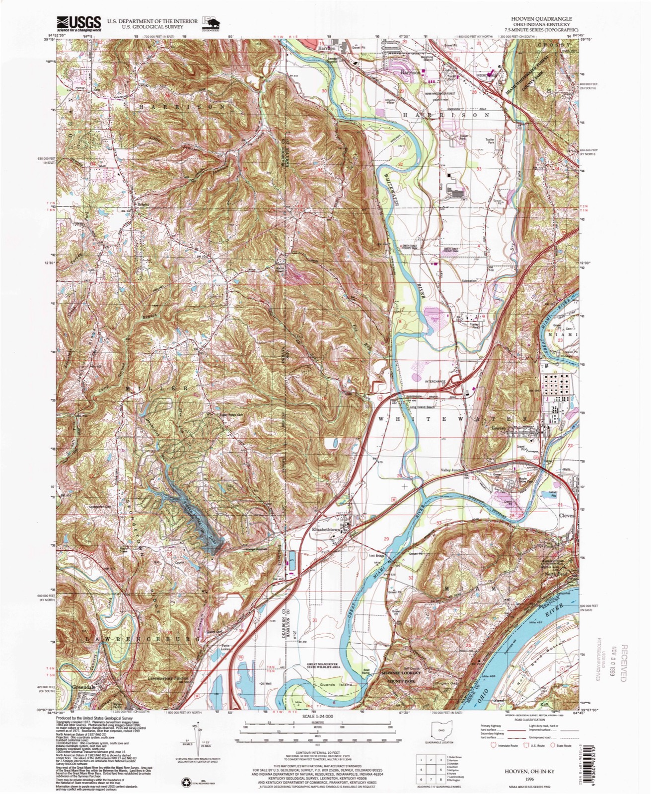
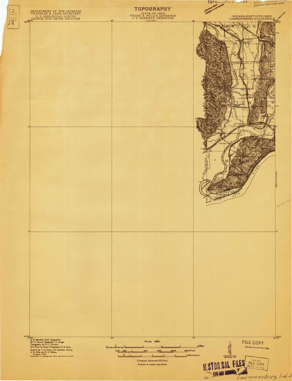
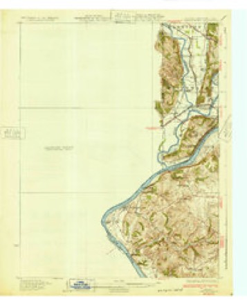
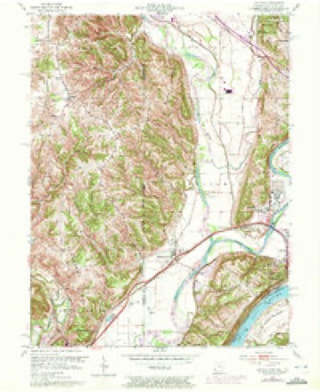
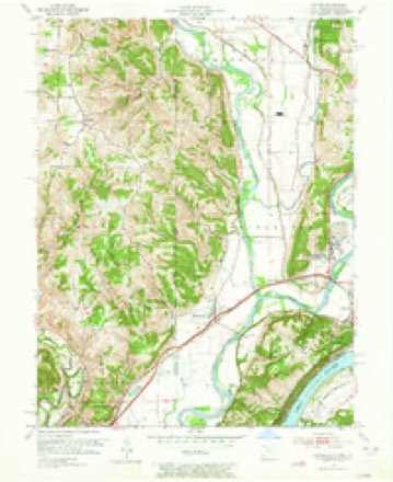
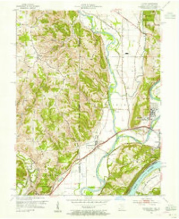
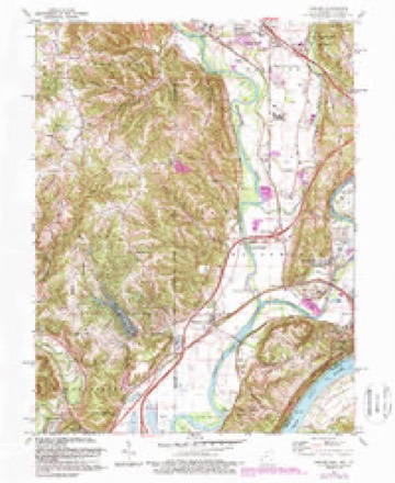
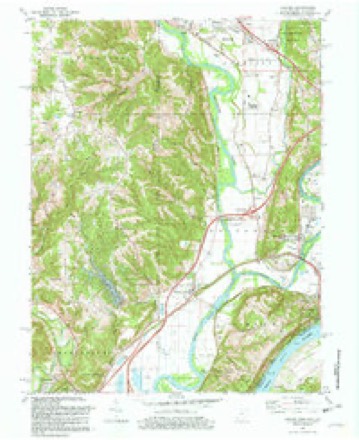
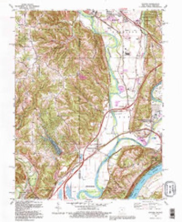
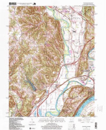
20 topographic sheets cover this place, the earliest surveyed in 1915 and the latest in 1996. It stands in Whitewater Township. It lies in ZIP code area 45002. It stands on Dry Fork Whitewater River. The Survey maps it on the Hooven quadrangle.
Then and now
1915 to 1996The same ground, surveyed 81 years apart. Drag the handle to wipe between them. Both sheets are United States Geological Survey originals; neither has been altered.
Compare 1915 against another survey:
Topographic sheets covering this place
20 sheetsMatched by testing this settlement's coordinate against the published boundary of every sheet in the United States Geological Survey's historical collection. Each opens the scanned sheet at the Survey.
- 1915 USGS Lawrenceburg quadrangle1:48000
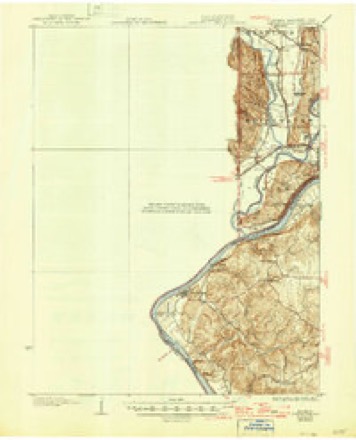
- 1928 USGS Lawrenceburg quadrangle1:62500
- 1932 USGS Lawrenceburg quadrangle1:62500
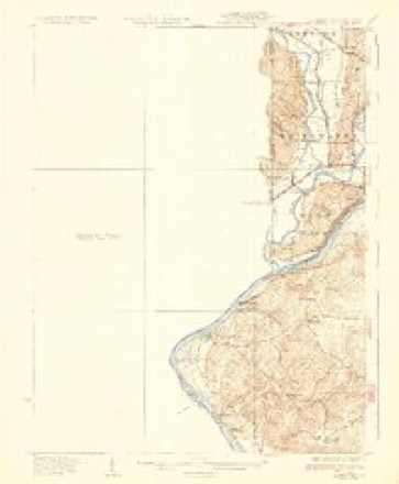
- 1932 USGS Lawrenceburg quadrangle1:62500
- 1932 USGS Lawrenceburg quadrangle1:62500
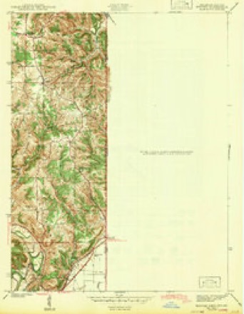
- 1943 USGS Hooven quadrangle1:24000
- 1953 USGS Cincinnati quadrangle1:250000
- 1953 USGS Cincinnati quadrangle1:250000
- 1953 USGS Cincinnati quadrangle1:250000
- 1954 USGS Hooven quadrangle1:24000
- 1954 USGS Hooven quadrangle1:24000
- 1954 USGS Hooven quadrangle1:24000
- 1957 USGS Cincinnati quadrangle1:250000
- 1981 USGS Hooven quadrangle1:24000
- 1981 USGS Hooven quadrangle1:24000
- 1986 USGS Cincinnati quadrangle1:100000
- 1986 USGS Cincinnati quadrangle1:100000
- 1986 USGS Cincinnati quadrangle1:100000
- 1992 USGS Hooven quadrangle1:24000
- 1996 USGS Hooven quadrangle1:24000







What happened here
An account from the chapter on Whitewater township, in the words of 1881.
Development Of Commerce
Before manufacturing can fairly begin in a new country, commerce and exchange must provide for the wants of a community in many directions. Local trade sets in as soon as there is anything to buy or sell, be it only a fish hooked from the water, or venison shot .in the forest. When Demand calls ''Hello!'' Supply answers ''Here I am.'' The Cincinnati pioneers in 1789 wanted seed-corn, and corn for hominy and bread, and immediately corn-meal came from Lexington, down the Licking, in canoes.
In the 1881 county history
267,357 words on this townshipThe county history of 1881 has no passage naming this settlement, which was common for the smaller places. Its township is covered in full.
The chapter on Whitewater Township covers the township.
Read the chapter on Whitewater Township - 267,357 words.
Specimens collected nearby
12 of 600 shownMuseums hold 600 specimens collected within 10 miles of White Water Park between 1835 and 1975: 295 Animalia, 231 Fungi, 71 Plantae, 2 Unrecorded, 1 Chromista. 12 distinct Species records are shown. Collected by A. P. Morgan, A. R. Gaufin, A.P. Morgan and others. Each is a physical object with a catalogue number, and each entry opens the museum's record. This is what was collected and kept, not a survey of what lives here - nothing can be concluded from a species being absent.
| Image | Species | Year | Collected by | Where, as recorded |
|---|---|---|---|---|
 | Carex davisii Schwein. & Torr. | 1835 | Frank | in ditione Miami civitatis Ohio |
 | Mentha arvensis var. glabrata (Benth.) Fernald | 1835 | Collector unspecified | Miami. |
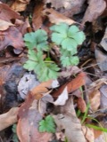 | Sanicula canadensis L. | 1835 | Frank | in ditione Miami civitatis Ohio |
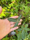 | Desmodium Desv. | 1836 | Short, C.W. | Fernbank - ad ripas fluminis Ohio prope 'North Bend' [banks of Ohio River near North Bend]. |
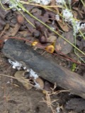 | Dicentra Bernh. | 1836 | Short, C.W. | Fernbank [=Fernbank Park] ad ripas fluminensis Ohio, prope North Bend, Kentucky. |
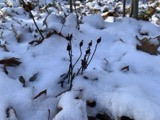 | Monotropa uniflora L. | 1836 | Haupt, J.G. | 4 mile NW. Cincinnati |
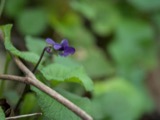 | Viola L. | 1840 | Short, C.W. | In America boerali prope Fernbank, ad ripas fluminis Ohio, prope North-Bend (Kentucky). | Fernbank - ad ripas fluminis Ohio, prope ''North Bend.'' [=In northern America, near Fernbank, beside the Ohio River, near North Bend (Kentucky).] |
 | Aesculus L. | 1844 | Short, C.W. | Fernbank - ad ripas fluminis Ohio prope North Bend [=Fernbank - the banks of the Ohio river near North Bend]. |
| Dasyscyphus viridulus (Schrad.) Sacc. | 1898 | A. P. Morgan | ||
 | Ammocrypta pellucida (Putnam, 1863) | 1929 | Trautman, M. B. (Milton Bernard) & Foster, R. (Robert) | White Water Creek, within northwest Whitewater township, near Hooven, Whitewater township |
 | Campostoma anomalum anomalum | 1929 | Trautman, M. B. (Milton Bernard) & Foster, R. (Robert) | Dry Fork Whitewater Creek, within Crosby township, near New Haven, Crosby township |
 | Ericymba buccata Cope, 1865 | 1929 | Trautman, M. B. (Milton Bernard) & Foster, R. (Robert) | White Water Creek, within northwest Whitewater township, near Hooven, Whitewater township |
All 600 specimens within 10 miles, at the Global Biodiversity Information Facility.
Mines and quarries nearby
10 of 32 shownThe federal mineral resources record lists 32 workings within 5 miles of White Water Park: 18 past producers, 11 producers, 3 plants. 14 still produce. What was taken out: Sand and Gravel, Construction. Distance is straight-line from the map coordinates, so a quarry counted here may appear on a neighbouring settlement's page as well.
| Where | Site | Commodity | Status | Recorded |
|---|---|---|---|---|
| Ashcraft Main Pit | Sand and Gravel, Construction | Producer | ||
| Ashcraft Sand and Gravel, Inc. | Sand and Gravel, Construction | Past Producer | ||
| Barrett Paving Pit | Sand and Gravel, Construction | Past Producer | Sedimentary | |
| Bunnell Gravel Pit #2 | Sand and Gravel, Construction | Producer | ||
| Bunnell Gravel Pit Number 1 | Sand and Gravel, Construction | Past Producer | Sedimentary | |
| Cleves Plant Number 6 Pit | Sand and Gravel, Construction | Producer | ||
| Cleves Plant Number 6 and Pit | Sand and Gravel, Construction | Past Producer | Sedimentary | |
| East Miami Pit | Sand and Gravel, Construction | Past Producer | Sedimentary | |
| East Miami Pit & Mill | Sand and Gravel, Construction | Plant | ||
| Eaton Sand and Gravel Pit | Sand and Gravel, Construction | Past Producer | Sedimentary |
Storms nearby
6 since 2008The National Weather Service names White Water Park in 6 storm reports between 2008 and 2024: 4 thunderstorm wind, 1 flash flood, 1 hail. No death or injury is recorded in these reports. Each account below is quoted exactly as the forecast office filed it, from the NOAA Storm Events Database, and each date opens the federal record of that event.
| When | Event | Place named | Harm | What the report says |
|---|---|---|---|---|
| July 2012 | Thunderstorm Wind | White Water Park | $20,000 | Several large trees fell into buildings due to thunderstorm winds. |
| July 2008 | Thunderstorm Wind | White Water Park | $10,000 | Several homes had shingles peeled off their roofs and antennas knocked down. Large tree limbs were also downed. |
| June 2017 | Thunderstorm Wind | White Water Park | $5,000 | Numerous trees were knocked down along Lawrenceburg Road near the Whitewater River. |
| May 2012 | Flash Flood | White Water Park | $5,000 | Heavy rainfall caused flash flooding in the area. High water was reported flowing over Lawrenceburg Road in Miami Township. Almost a foot of water was flowing across the road near the intersection of Harrison Avenue and Wesselman Road. Another road in the area was closed due to high water. A foot of water was reported flowing over Mount Hope Road. |
| July 2023 | Thunderstorm Wind | White Water Park | $1,000 | A tree was downed on Morgan Road in Whitewater Township. |
| April 2024 | Hail | White Water Park | - | no account filed |
Nearest settlements
The eight closest, with where each one stands in the county. Distances are straight-line, computed from the Geographic Names Information System coordinates.
| Map | Place | Distance | Sheets |
|---|---|---|---|
| Cilley (historical) | 1.0 miles | 20 | |
| Perryville (historical) | 1.2 miles | 20 | |
| Fort Gass (historical) | 1.4 miles | 20 | |
| Hooven | 1.7 miles | 20 | |
| Valley Junction | 1.9 miles | 20 | |
| Gieringer | 2.3 miles | 19 | |
| Simonsons (historical) | 2.7 miles | 20 | |
| Grandview | 3.0 miles | 19 |
Elsewhere
Matched on this settlement's Geographic Names Information System number rather than its name, so it cannot be a different place of the same name in another state.
| Wikidata item Q122554847 | The structured record the population and elevation above come from. Public domain (CC0). |
Provenance
This settlement is recorded in the Geographic Names Information System as feature 1065733. The sheet list is computed by point-in-boundary test against the United States Geological Survey's historical topographic inventory. Both are works of the United States government and carry no copyright under 17 U.S.C. 105.
Specimens. Global Biodiversity Information Facility (GBIF), https://www.gbif.org/. Only records licensed CC0 or CC BY are used. Records licensed CC BY-NC are excluded because this site carries advertising. Images are checked individually and any whose licence is non-commercial, no-derivatives or unreadable is refused.
Mines and quarries. USGS Mineral Resources Data System (MRDS) https://mrdata.usgs.gov/mrds/ A work of the United States government, no copyright under 17 U.S.C. 105.
Storms. NOAA National Centers for Environmental Information, Storm Events Database https://www.ncei.noaa.gov/stormevents/ A work of the United States government, no copyright under 17 U.S.C. 105. Narratives are quoted verbatim from the National Weather Service report and are not edited or summarised.