 Block
Block
Climax, Ohio
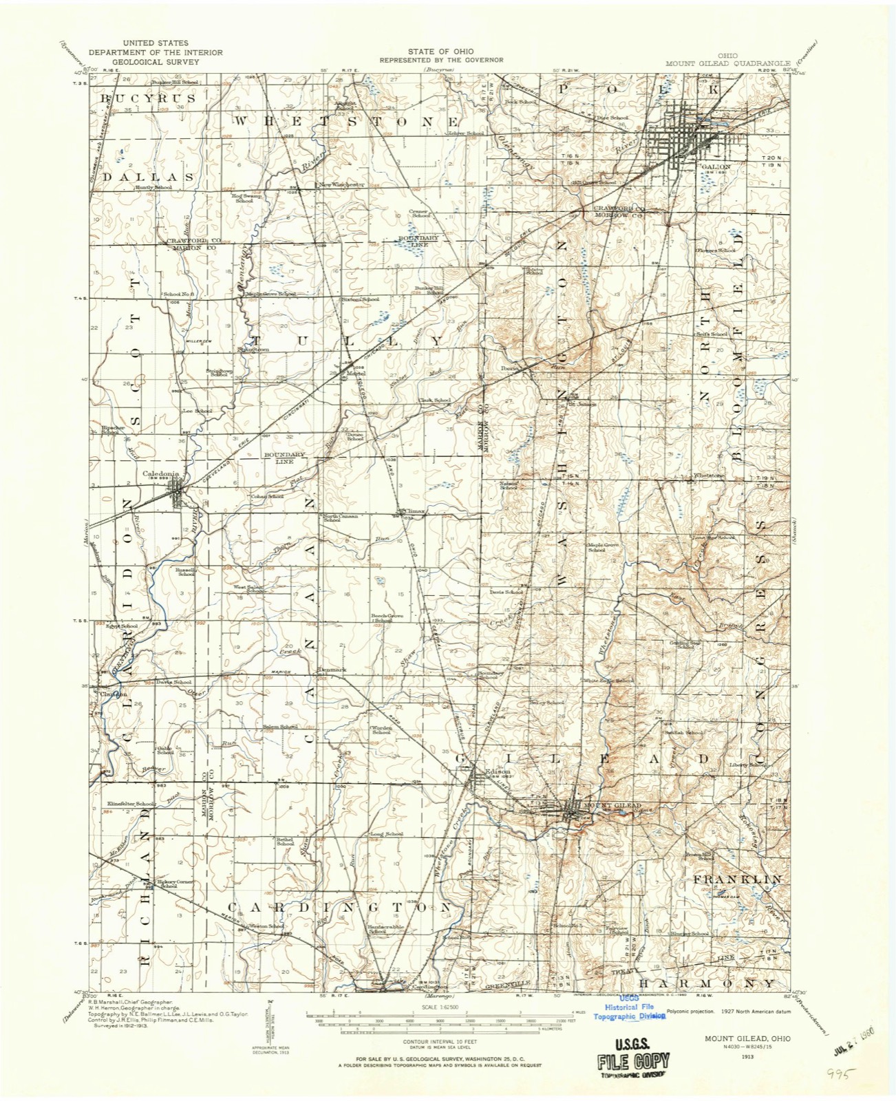
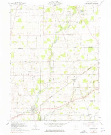
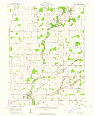
12 topographic sheets cover this place, the earliest surveyed in 1913 and the latest in 1994. It stands in Canaan Township. It lies in ZIP code area 43320. The Survey maps it on the Caledonia quadrangle.
Then and now
1913 to 1994The same ground, surveyed 81 years apart. Drag the handle to wipe between them. Both sheets are United States Geological Survey originals; neither has been altered.

Compare 1913 against another survey:
Topographic sheets covering this place
12 sheetsMatched by testing this settlement's coordinate against the published boundary of every sheet in the United States Geological Survey's historical collection. Each opens the scanned sheet at the Survey.
- 1913 USGS Mount Gilead quadrangle1:62500
- 1916 USGS Mount Gilead quadrangle1:62500
- 1943 USGS Mount Gilead quadrangle1:62500
- 1950 USGS Marion quadrangle1:250000
- 1961 USGS Caledonia quadrangle1:24000
- 1961 USGS Caledonia quadrangle1:24000
- 1962 USGS Marion quadrangle1:250000
- 1966 USGS Marion quadrangle1:250000
- 1966 USGS Marion quadrangle1:250000
- 1966 USGS Marion quadrangle1:250000
- 1986 USGS Mansfield quadrangle1:100000
- 1994 USGS Mansfield quadrangle1:100000







Specimens collected nearby
12 of 207 shownMuseums hold 207 specimens collected within 10 miles of Climax between 1837 and 1975: 197 Animalia, 7 Plantae, 2 Fungi, 1 Unrecorded. 12 distinct Species records are shown. Collected by Bird, C., Breiding, G. (George), Cameron, J. B. and others. Each is a physical object with a catalogue number, and each entry opens the museum's record. This is what was collected and kept, not a survey of what lives here - nothing can be concluded from a species being absent.
| Image | Species | Year | Collected by | Where, as recorded |
|---|---|---|---|---|
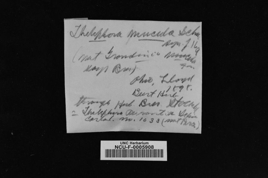 | Thelephora mucida (Pers. ex J.F.Gmel.) Fr. | 1898 | Lloyd | Ohio |
 | Sagittaria latifolia Willd. | 1837 | Frank B | |
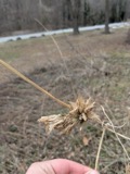 | Sicyos angulatus P.J.Bergius | 1837 | Frank B | in civitatate Ohio |
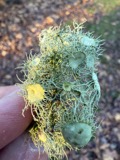 | Usnea florida (L.) F.H.Wigg. | 1837 | not recorded | |
 | Empidonax traillii (Audubon, 1828) | 1893 | Roberts | unspecified |
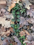 | Veronica officinalis L. | 1897 | G. B. Ashcroft | Russell |
 | Carex shortiana Dewey & Torr. | 1901 | Kellerman W. A. | |
 | Cirsium arvense (L.) Scop. | 1919 | W. J. Campbell | Edison |
 | Rallus limicola limicola Vieillot, 1819 | 1923 | Lyle D. Miller | Claridon, Lake Aquilla |
 | Buteo jamaicensis borealis (Gmelin, 1788) | 1924 | Lyle D. Miller | Claridon |
 | Campostoma anomalum anomalum | 1929 | MB Trautman | Whetstone Creek, trib of the Oleontangy River, Gilead Twp. |
 | Etheostoma blennioides Rafinesque, 1819 | 1929 | Trautman, M. B. (Milton Bernard) & Foster, R. (Robert) | Whetstone Creek, at Mt Gilead, ~0.4 mi E of Mount Gilead, Gilead township |
All 207 specimens within 10 miles, at the Global Biodiversity Information Facility.
Mines and quarries nearby
4 within 5 milesThe federal mineral resources record lists 4 workings within 5 miles of Climax: 2 past producers, 1 unknown, 1 producer. 1 still produces. What was taken out: Clay, Fire Clay (Refractory). Distance is straight-line from the map coordinates, so a quarry counted here may appear on a neighbouring settlement's page as well.
| Where | Site | Commodity | Status | Recorded |
|---|---|---|---|---|
| Caledonia Plant | Fire Clay (Refractory) | Past Producer | ||
| Marbrick Number 1 Pit | Clay | Past Producer | Sedimentary | |
| Marbrick Number 1 Pit | Clay | Producer | ||
| Marion Brick Pit | Clay | Unknown |
Storms nearby
2 since 2012The National Weather Service names Climax in 2 storm reports between 2012 and 2018: 2 thunderstorm wind. No death or injury is recorded in these reports. Each account below is quoted exactly as the forecast office filed it, from the NOAA Storm Events Database, and each date opens the federal record of that event.
| When | Event | Place named | Harm | What the report says |
|---|---|---|---|---|
| June 2012 | Thunderstorm Wind | Climax | $2,000,000 | An intense line of thunderstorms or Derecho moved across Marion County during the afternoon of June 29th causing extensive damage. Winds were estimated to be as much as 80 mph. Over 75 percent of residents lost power during this event. Power was not completely restored for almost a week. Hundreds, if not thousands of trees were downed across the county along with many utility poles forcing the closure of dozens of roads and streets. Damage to homes and buildings was also extensive. Hundreds of homes and buildings lost roofing or siding with many other homes damaged by fallen trees. Clean up costs were extensive. The clean up was hampered by an ongoing heat wave with afternoon temperatures in the upper 90s. Significant crop losses are also expected. Damage from this storm was comparable to the remnants of Hurricane Ike in September 2008. Damage to public property alone was over $700 thousand. |
| May 2018 | Thunderstorm Wind | Climax | - | Thunderstorm winds downed a tree along Martel Road (County Highway 171) just north of State Route 39. |
Nearest settlements
The eight closest, with where each one stands in the county. Distances are straight-line, computed from the Geographic Names Information System coordinates.
| Map | Place | Distance | Sheets |
|---|---|---|---|
| Surprise (historical) | 2.7 miles | 13 | |
| Denmark | 3.4 miles | 13 | |
| Iberia | 3.6 miles | 13 | |
| Saint James | 3.8 miles | 13 | |
| Edison | 5.2 miles | 13 | |
| West Point | 5.5 miles | 13 | |
| Mount Gilead | 6.5 miles | 13 | |
| Kellker (historical) | 7.6 miles | 13 |
Elsewhere
Matched on this settlement's Geographic Names Information System number rather than its name, so it cannot be a different place of the same name in another state.
| Wikipedia article on Climax | An encyclopaedic summary. Its text is share-alike, so it is linked here rather than copied. |
| Wikidata item Q22033774 | The structured record the population and elevation above come from. Public domain (CC0). |
Provenance
This settlement is recorded in the Geographic Names Information System as feature 1039187. The sheet list is computed by point-in-boundary test against the United States Geological Survey's historical topographic inventory. Both are works of the United States government and carry no copyright under 17 U.S.C. 105.
Specimens. Global Biodiversity Information Facility (GBIF), https://www.gbif.org/. Only records licensed CC0 or CC BY are used. Records licensed CC BY-NC are excluded because this site carries advertising. Images are checked individually and any whose licence is non-commercial, no-derivatives or unreadable is refused.
Mines and quarries. USGS Mineral Resources Data System (MRDS) https://mrdata.usgs.gov/mrds/ A work of the United States government, no copyright under 17 U.S.C. 105.
Storms. NOAA National Centers for Environmental Information, Storm Events Database https://www.ncei.noaa.gov/stormevents/ A work of the United States government, no copyright under 17 U.S.C. 105. Narratives are quoted verbatim from the National Weather Service report and are not edited or summarised.