 Block
Block
Columbus, Ohio
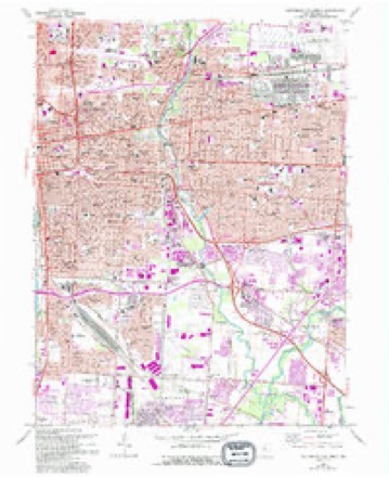
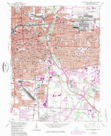
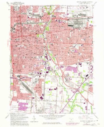
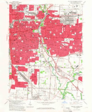
16 topographic sheets cover this place, the earliest surveyed in 1925 and the latest in 1984. It stands in Columbus City. It lies in ZIP code area 43215. It stands on Olentangy River. The Survey maps it on the Southeast Columbus quadrangle. 905,748 people lived here at the 2020 count. It stands 902 feet above sea level.
Research this city
This curated hub for Franklin County, Ohio brings together the page's documented record links, visible map or image evidence where published, and routes to related local records.
What is documented here?
Use the page's provenance and linked records to distinguish the source material from the site's navigation and summaries.
How should I cite it?
Open the original record, preserve its repository and identifier, then use the citation tool for this page as a path back to the source.
Where should I go next?
Follow the county or state hub for related places and records, then use the guide for a source-aware research sequence.
Population over time
5 figuresColumbus grew from 564,871 to 905,748 between 1980 and 2020. These are the recorded population figures Wikidata holds for this place, reached through the Geographic Names Information System number this page is keyed on rather than by name, so they belong to this place and not to another of the same name. Most are census counts, but not all are: an early figure may be a founding or settlement estimate. The change column is computed, and is left blank where more than 20 years separate a figure from the one before it, because a gap that long is not a change between two counts.
| Year | People | Change |
|---|---|---|
| 1980 | 564,871 | |
| 1990 | 632,910 | +68,039 (+12%) |
| 2000 | 711,470 | +78,560 (+12%) |
| 2010 | 787,033 | +75,563 (+11%) |
| 2020 | 905,748 | +118,715 (+15%) |
Then and now
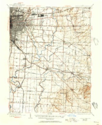
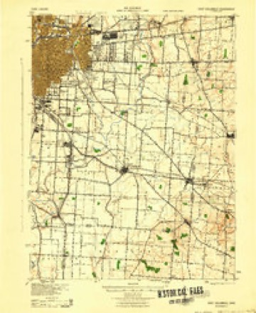
1925 to 1984The same ground, surveyed 59 years apart. Drag the handle to wipe between them. Both sheets are United States Geological Survey originals; neither has been altered.
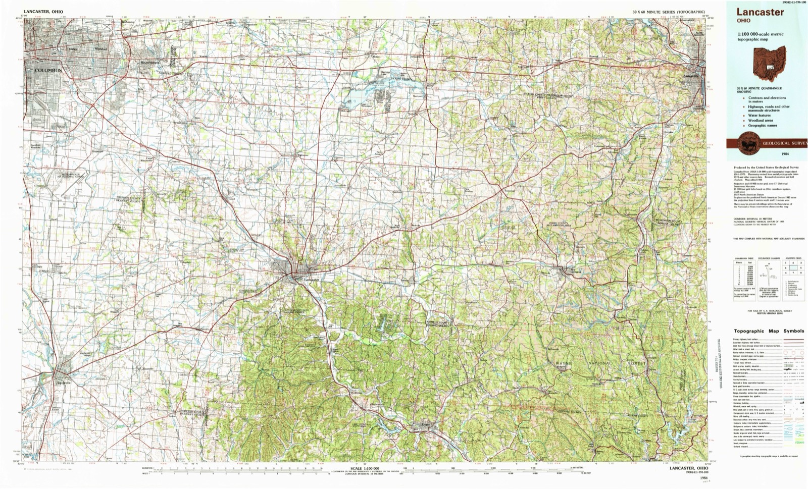
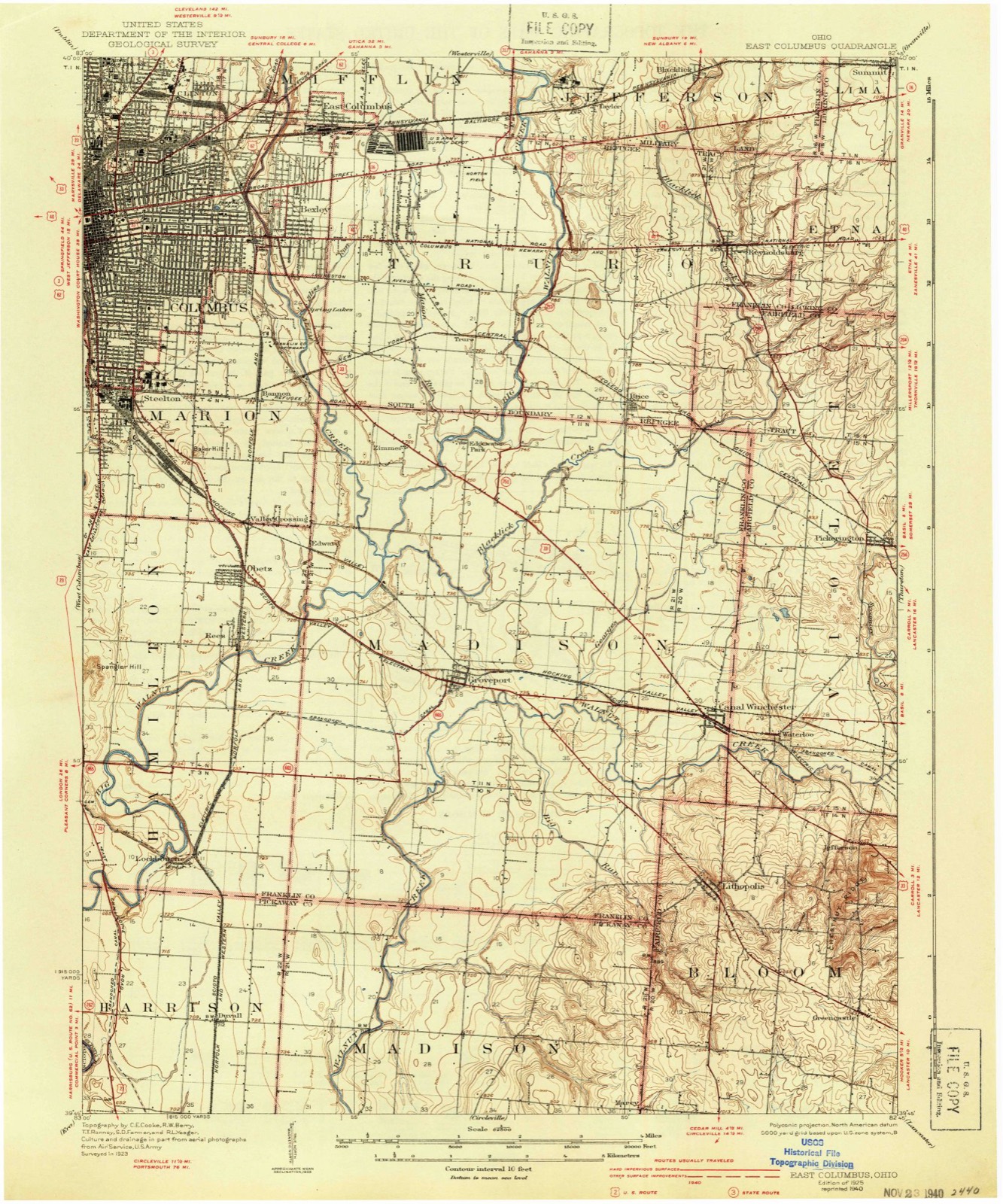
Topographic sheets covering this place
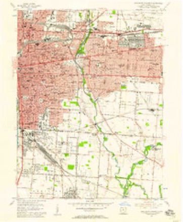
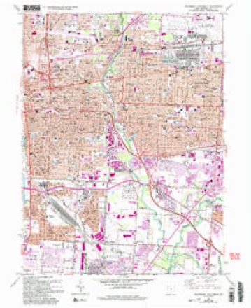
16 sheetsMatched by testing this settlement's coordinate against the published boundary of every sheet in the United States Geological Survey's historical collection. Each opens the scanned sheet at the Survey.
- 1925 USGS East Columbus quadrangle1:62500
- 1925 USGS East Columbus quadrangle1:62500
- 1925 USGS East Columbus quadrangle1:62500
- 1943 USGS East Columbus quadrangle1:62500
- 1947 USGS Columbus quadrangle1:250000
- 1955 USGS Southeast Columbus quadrangle1:24000
- 1961 USGS Columbus quadrangle1:250000
- 1962 USGS Columbus quadrangle1:250000
- 1964 USGS Southeast Columbus quadrangle1:24000
- 1964 USGS Southeast Columbus quadrangle1:24000
- 1964 USGS Southeast Columbus quadrangle1:24000
- 1964 USGS Southeast Columbus quadrangle1:24000
- 1964 USGS Southeast Columbus quadrangle1:24000
- 1967 USGS Columbus quadrangle1:250000
- 1967 USGS Columbus quadrangle1:250000
- 1984 USGS Lancaster quadrangle1:100000






What happened here
An account from the chapter on Columbus city, The inset identifies its exact source book and publication year.
Beginnings Of Ohio
The Mound Builders and Indians - First White Settlements and Struggle for Possession - Indian Village at the Forks of the Scioto Attacked by Crawford and Dispersed - The Ohio Company, the Scioto Company and Symmes Purchase - Indian Power Broken and British Hopes Blasted - First Surveys - Topography, Geology and Soil of Franklin County.
In the county-history sources
895,918 words on this townshipHistory of Franklin County [Ohio]:, published 1858 names this settlement in its chapter on Columbus City. These are the passages that mention it, exactly as the scans read.
From the first organization of the State government in 1803, until 1816, there was no permanent seat of State government. The sessions of the Legislature were held at Chillicothe until 1810, and the sessions of 1810-11, and 1811-12, were held at Zanesville, and from thence they were removed back to Chillicothe, and there remained until December, 1816, when the first session commenced in Columbus.
Passage source: History of Franklin County [Ohio]:, published 1858.
No further definite action, however, was had on the subject until February, 1812, when the law was passed establishing it at Columbus. Various proposals were received, offering inducements for its establishment at different points, and amongst the rest were the proposals of Lyne Starling, James Johnston, Alexander McLaughlin and John Kerr, for establishing it on the '-' high bank of the Scioto River, opposite Franklinton," which site was principally a native forest. Franklinton was then at its apex, and a town of considerably more consequence than it now is, and was one of the sites proposed ; but the plan upon which it was laid out, and more particularly its low situation, were considered sufficient objections to its adoption. Worthington and Delaware were also among the sites proposed.
Passage source: History of Franklin County [Ohio]:, published 1858.
This last proposition was at some time lost from the file of papers in the State Treasurer's office, and that fact was possibly the means of saving the seat of government at Columbus. From the time of the repeal of the law for the erection of a new State House, in 1840, the subject of the removal of the seat of government from Columbus became agitated, and at the session of 1842-43, a committee of the Legislature was appointed on that subject, who being divided in opinion or feeling, made a majority and a minority report. The majority assumed as a first ground that it had been permanently established at Columbus by the act of February 14th, 1812, accepting the proposals of the proprietors of the town ; and then referring to the conditions of the first proposals, insisted that it could not be removed without a violation of the faith of the State. The arguments of the two reports are principally confined to that proposition - the second proposal not being known of, apparently, by either party. And the compiler of the "Brief History of Columbus," prefixed to Mr. J. R. Armstrong's Columbus Directory, published in 1843, while the subject of removal was still in agitation, was, as a citizen of Columbus, perhaps excusable in giving the proprietors' first proposals, whilst he suppressed the second, which would have upset all the fine arguments in fiivor the permanent location.
Passage source: History of Franklin County [Ohio]:, published 1858.
Machine-read from a century-old scan, so expect the errors a machine makes: misspelled names, dropped words, stray characters.
Read the whole chapter on Columbus City - it names this place 50 more 50 times.
Photographs
8 photographs, 1943 to 2016Taken for the Office of War Information and the Farm Security Administration, who photographed the country between 1935 and 1944. Works of United States government photographers, with no known restriction on use. Each opens its catalogue record.
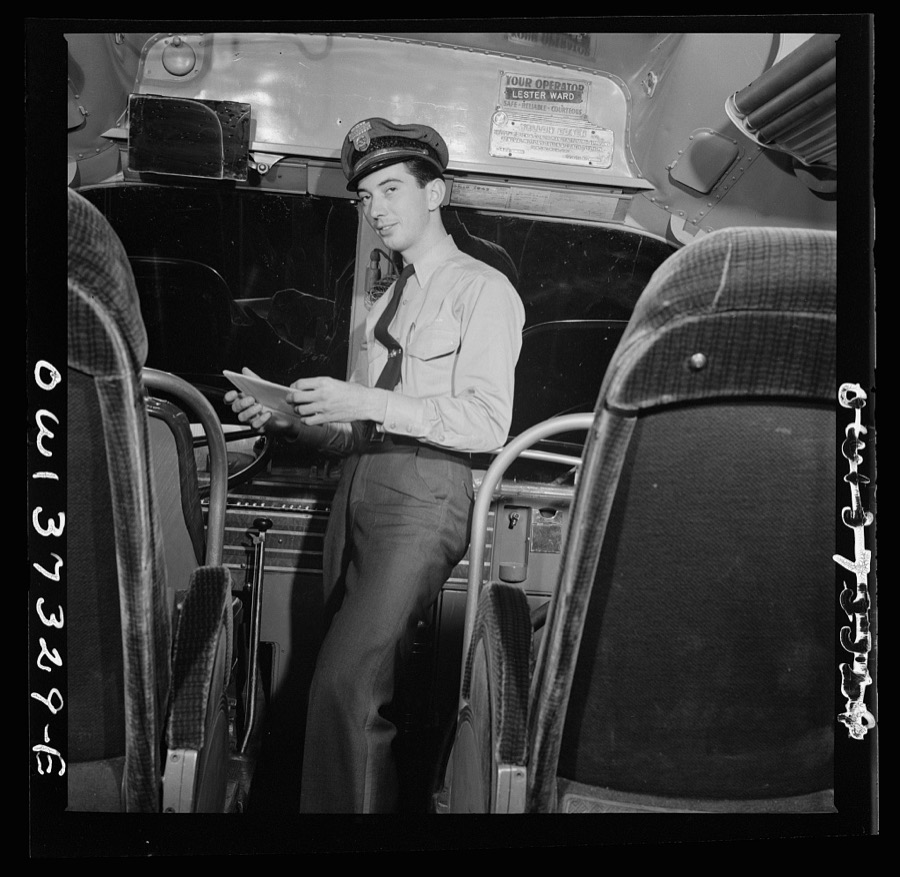
Bubley, Esther, photographer, 1943. Library of Congress
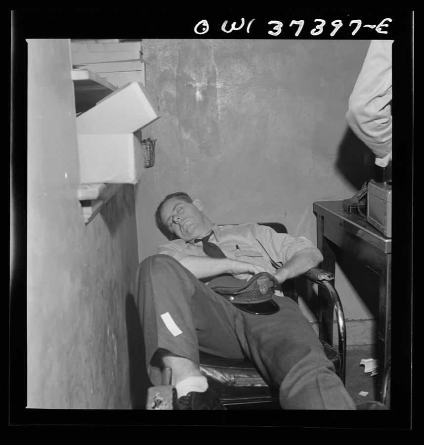
Bubley, Esther, photographer, 1943. Library of Congress
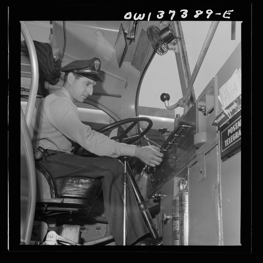
Bubley, Esther, photographer, 1943. Library of Congress
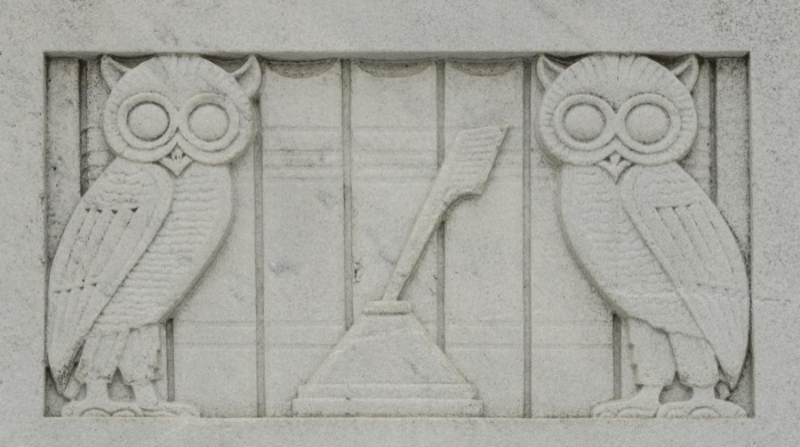
Highsmith, Carol M, 2016. Library of Congress
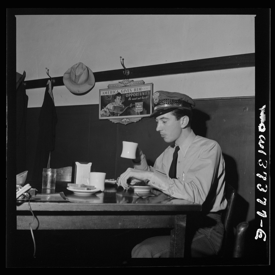
Bubley, Esther, photographer, 1943. Library of Congress
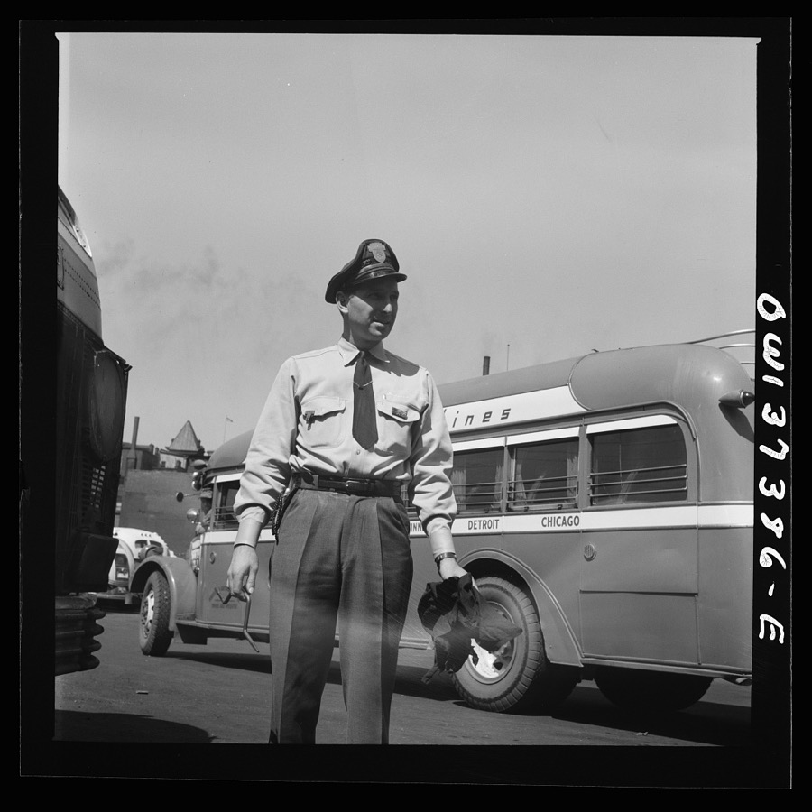
Bubley, Esther, photographer, 1943. Library of Congress

Highsmith, Carol M, 2016. Library of Congress
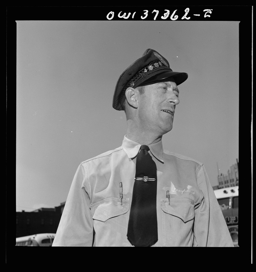
Bubley, Esther, photographer, 1943. Library of Congress
Fires near this place
1 since 2011Regional context, not property-specific evidence. The federal wildfire occurrence database lists 1 fire within 5 miles of Columbus between 2011 and 2011, burning about 0 acres in total. None started naturally. None was recorded as arson. Distance is straight-line from the map coordinates, so a fire counted here may appear on a neighbouring settlement's page as well.
| Reported cause | Fires |
|---|---|
| Missing data/not specified/undetermined | 1 |
The most recent of them, most recent first, with the day each was reported and the service that recorded it.
| Date | Cause | Size | Reported by | Name on the report |
|---|---|---|---|---|
| 26 October 2011 | Missing data/not specified/undetermined | under an acre | Ohio Department of Natural Resources | not named |
Settlements close enough to share some of these fires:
Specimens collected near this place
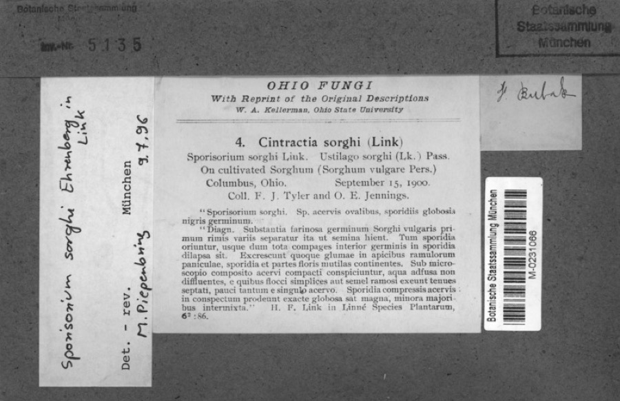
12 of 9,743 shownRegional context, not property-specific evidence. Museums hold 9,743 specimens collected within 10 miles of Columbus between 1804 and 1975: 7,770 Animalia, 1,269 Fungi, 559 Plantae, 117 Chromista, 27 Unrecorded, 1 Protozoa. 12 distinct Species records are shown. Collected by 19 V 1938 in original publication, Knull, =, ? and others. Each is a physical object with a catalogue number, and each entry opens the museum's record. This is what was collected and kept, not a survey of what lives here - nothing can be concluded from a species being absent.
| Image | Species | Year | Collected by | Where, as recorded |
|---|---|---|---|---|
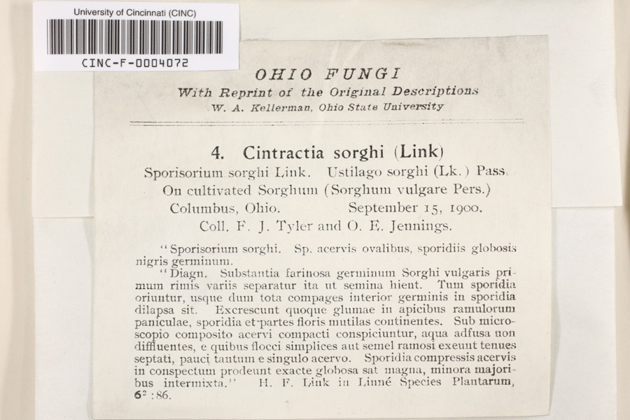 | Cintractia sorghi (Sorokn) De Toni | 1900 | Tyler, F.J.; O. E. Jennings | Columbus |
 | Sorghum bicolor (L.) Moench | 1900 | Jennings, O.E. | Columbus, Ohio. |
 | Juniperus virginiana var. virginiana | 1804 | Dr. Paddock | Worthington |
 | Platanthera psycodes (L.) Lindl. | 1805 | J. R. Paddock | Worthington |
 | Carex comosa Boott | 1809 | Collector unknown | Worthington, O. [Inferred county from precise loc.] |
 | Hirundo Linnaeus, 1758 | 1814 | not recorded | Columbus Ohio, Franklin, Ohio, USA |
 | Callimome strobiloides Huber, 1927 | 1821 | C. Huber | Columbus |
 | Solidago riddellii Frank | 1832 | W. A. Kellerman | A few miles N of Columbus. |
 | Carex lupulina Muhl. ex Willd. | 1834 | Anonymous | Columbus. |
 | Anomodon viticulosus (Hedw.) Hook. & Taylor | 1837 | W. S. Sullivant | Near Columbus |
 | Acris crepitans blanchardi Harper, 1947 | 1897 | not recorded | No Further Locality Data |
| Albugo candida (Pers. ex J.F.Gmel.) Roussel | 1897 | Clevenger, J. F. | Columbus |
All 9,743 specimens within 10 miles, at the Global Biodiversity Information Facility.
Mines and quarries near this place
7 within 5 milesRegional context, not property-specific evidence. The federal mineral resources record lists 7 workings within 5 miles of Columbus: 4 past producers, 2 plants, 1 producer. 3 still produce. What was taken out: Sand and Gravel, Construction, Limestone, General, Stone, Crushed/Broken, Sand and Gravel, Construction, Stone, Crushed/Broken. Distance is straight-line from the map coordinates, so a quarry counted here may appear on a neighbouring settlement's page as well.
| Where | Site | Commodity | Status | Recorded |
|---|---|---|---|---|
| (Facility) Asarco Columbus Smelter | Zinc, Sulfur, Sulfuric Acid | Plant | ||
| Columbus 210 Pit & Mill | Sand and Gravel, Construction, Stone, Crushed/Broken | Plant | ||
| Columbus Limestone #221 | Stone, Crushed/Broken | Producer | ||
| Columbus Limestone Quarry | Limestone, General | Past Producer | Sedimentary | |
| Columbus No. 210 Plant and Pit | Sand and Gravel, Construction | Past Producer | Sedimentary | |
| Hart Road Sand and Gravel Pit | Sand and Gravel, Construction | Past Producer | Sedimentary | |
| Masons Plant Number 2 Pit | Sand and Gravel, Construction | Past Producer | Sedimentary |
Storms near this place
60 of 107 shownRegional context, not property-specific evidence. The National Weather Service names Columbus in 107 storm reports between 1993 and 2026: 56 thunderstorm wind, 26 hail, 13 flash flood, 11 flood. The reports record 9 injuries. Each account below is quoted exactly as the forecast office filed it, from the NOAA Storm Events Database, and each date opens the federal record of that event.
| When | Event | Place named | Harm | What the report says |
|---|---|---|---|---|
| July 1994 | Thunderstorm Wind | Columbus | 4 hurt, $5,000 | Trees were downed, some on power lines. Four golfers were injured after lightning struck the shelter house they entered to take shelter from the storm. |
| August 1994 | Thunderstorm Wind | Columbus | 4 hurt, $5,000 | Trees were downed at several locations. Winds were measured at 59 mph at Port Columbus Airport. Four men were injured at an outdoor amphitheater when the tent they occupied was blown over. |
| April 1995 | Thunderstorm Wind | Columbus | 1 hurt, $50,000 | A microburst, with winds estimated to be between 80 and 100 mph, struck the west side of Columbus, destroying roofs of two industrial buildings. The debris from the roofs stretched 600 yards. A tractor-semitrailer was also blown over, injuring one male. |
| June 2016 | Tornado (EF0) | Columbus | $100,000 | Damage was first observed on Deserette Court. The west-facing|side of several housing units had shutters torn off and also|experienced minor siding damage. This is where it appears the|tornado first touched down.||On the opposite side of Deserette Court, additional shutter and|siding damage was observed, and primarily affected the east-facing|side of the housing units.||Damage continued to the east onto Boyleston Boulevard, with the|garage door of one home completely destroyed and walls of the|garage experiencing significant damage. Siding and roof damage was|also observed on this home, and damage is assessed to be in the|EF0 category, with winds around 80 mph. An eyewitness also stated|that she was looking west and saw a tornado moving toward|Boyleston Boulevard.||A swath of damage continued to the east, affecting homes along|Niantic Drive and Hingham Lane. Much of the damage was associated|with trees, where large tree branches in the back yards of|several homes on both Niantic Drive and Hingham Lane were snapped.|A convergent pattern was observed from 10 to 12 inch diameter tree|branches. Some damage to homes was also observed, including a|large portion of siding being stripped off the east-facing side of|a two story home. Minor roof damage was also noted on several|homes.||Damage became more sparse further east along Hingham Lane and was|confined to a few large hardwood tree branches being snapped off. |
| June 1994 | Hail | Columbus | $50,000 | Lightning struck several buildings causing fires and destroying one home. |
| July 2011 | Flash Flood | South Columbus | $30,000 | Cars were stalled in moving water with water up to hoods of some cars on High Street due to heavy rain. |
| July 2002 | Flash Flood | Columbus | $22,000 | Two to three feet of water on some roads submerged some cars and caused others to float. On Leonard Street and 5th Avenue, a foot of water was entering the main level of some homes. |
| July 2013 | Thunderstorm Wind | South Columbus | $20,000 | Several large old growth hardwood trees were blown down in Schiller Park due to thunderstorm winds. Large branches also fell on vehicles. |
| April 2013 | Thunderstorm Wind | Columbus | $20,000 | Roofing materials were removed from several buildings, a gutter was blown down, power lines were downed, and fencing was partially blown over in northeastern Columbus due to damaging thunderstorm winds. These winds also blew a large tree down onto a house on Schleppi Road. |
| July 2011 | Flash Flood | Columbus | $20,000 | Several people were rescued from their vehicles at the intersection of Karl Road and Norris Drive. |
| April 2007 | Hail | Columbus | $20,000 | Penny to golf ball size hail fell from downtown Columbus into the eastern suburbs. |
| June 2010 | Thunderstorm Wind | Columbus | $10,000 | Damage occurred to the roof of a grocery store and trees were uprooted due to damaging thunderstorm winds. |
| May 2002 | Hail | Columbus | $10,000 | Event occurred on the southeast side of town. |
| May 2002 | Thunderstorm Wind | Columbus | $10,000 | Numerous trees and utility poles were downed across the county. |
| June 2002 | Thunderstorm Wind | Columbus | $10,000 | Trees up to one foot in diameter and a few power poles were blown down near the intersection of Interstate 71 and North Broadway. |
| May 1997 | Thunderstorm Wind | Columbus | $10,000 | Several trees and large limbs downed. Barn destroyed. |
| May 2007 | Thunderstorm Wind | Columbus | $8,000 | A few structures sustained minor damage. Large tree limbs were downed as well. |
| June 2011 | Thunderstorm Wind | Columbus | $7,000 | A tree was reported down on a house. Large tree limbs were also reported down in the area. These occurrences were due to damaging thunderstorm winds. |
| July 1995 | Thunderstorm Wind | Columbus | $7,000 | Awnings were blown off two buildings in north Columbus, while several large tree limbs were blown down across the city. |
| February 2002 | Hail | Columbus | $7,000 | no account filed |
| August 2022 | Thunderstorm Wind | South Columbus | $5,000 | Several trees were downed in Green Lawn Cemetery. |
| July 2020 | Thunderstorm Wind | Columbus | $5,000 | Several power poles and wires were downed onto 19th Avenue. |
| May 2015 | Thunderstorm Wind | South Columbus | $5,000 | A tree fell onto a house in German Village. |
| June 2008 | Thunderstorm Wind | South Columbus | $5,000 | Trees were uprooted just north of downtown in the Short North area. Large trees were also downed in German Village. |
| March 2007 | Flood | Columbus | $5,000 | Numerous roads were flooded throughout the Columbus metro area. |
| May 2000 | Flash Flood | Columbus | $5,000 | A second batch of heavy rainfall within several hours caused flooding of streets and overpasses. |
| August 2000 | Flash Flood | Columbus | $5,000 | Heavy rainfall caused flooded roads across the city. |
| October 1999 | Thunderstorm Wind | Columbus | $5,000 | Trees and powerlines were knocked down in the Blendon Township area northeast of the city. |
| September 1998 | Thunderstorm Wind | Columbus | $5,000 | Several power lines were knocked down on the south side of Columbus. |
| June 1998 | Thunderstorm Wind | Columbus | $5,000 | Trees downed. |
| July 1997 | Thunderstorm Wind | Columbus | $5,000 | Tree and power lines downed. |
| June 1994 | Thunderstorm Wind | Columbus | $5,000 | Large trees were downed at Route 40 and Darbydale. |
| May 2006 | Thunderstorm Wind | Columbus | $4,000 | Several ten inch diameter trees were downed. |
| March 2025 | Thunderstorm Wind | South Columbus | $3,000 | Several trees were downed. |
| March 2025 | Thunderstorm Wind | South Columbus | $3,000 | Several large softwood trees were snapped. |
| July 2019 | Thunderstorm Wind | South Columbus | $3,000 | A few large trees were downed. |
| July 2019 | Thunderstorm Wind | South Columbus | $3,000 | A few large trees were downed. |
| July 2018 | Thunderstorm Wind | Columbus | $3,000 | A tree was downed onto some power lines. |
| May 2015 | Thunderstorm Wind | Columbus | $3,000 | Several trees were downed on Kenlawn Street. |
| July 2013 | Thunderstorm Wind | Columbus | $3,000 | The roof of a garage was partially detached from the rest of its structure due to thunderstorm winds. |
| July 2010 | Thunderstorm Wind | East Columbus | $3,000 | Trees and large limbs were reported down due to damaging thunderstorm winds. A billboard was also bent in half due to the storms. |
| August 2008 | Thunderstorm Wind | Columbus | $3,000 | Three trees were knocked down, one in Clintonville and two in Westerville. |
| June 2008 | Thunderstorm Wind | South Columbus | $3,000 | Large tree limbs were downed. Dumpsters were being blown down the street. |
| October 2006 | Hail | Columbus | $3,000 | Several trees and large limbs were downed as well in downtown Columbus. |
| May 2001 | Flash Flood | Columbus | $3,000 | Child rescued from creek which was in flood. Several roads with high water. |
| November 1998 | Thunderstorm Wind | Columbus | $3,000 | Trees down on the south side of Columbus. |
| July 1996 | Thunderstorm Wind | Columbus | $3,000 | no account filed |
| July 1996 | Flash Flood | Columbus | $3,000 | no account filed |
| March 2025 | Thunderstorm Wind | South Columbus | $2,000 | Large softwood trees were snapped. |
| August 2018 | Flood | South Columbus | $2,000 | Underpasses were flooded on the south side of Columbus, with some cars stuck in the water. |
| August 2016 | Thunderstorm Wind | South Columbus | $2,000 | Trees were reported knocked down. |
| April 2011 | Thunderstorm Wind | South Columbus | $2,000 | Trees and power lines were reported down due to damaging thunderstorm winds. |
| July 2010 | Flash Flood | Columbus | $2,000 | Six inches of water was running across high street due to heavy rainfall. |
| August 2007 | Thunderstorm Wind | Columbus | $2,000 | Large tree limbs were downed. |
| August 2007 | Thunderstorm Wind | Columbus | $2,000 | A few large tree limbs were knocked down. |
| July 2007 | Thunderstorm Wind | Columbus | $2,000 | One tree and power lines were downed near the intersection of State Route 104 and Frank Road. |
| October 2006 | Flash Flood | Columbus | $2,000 | Several roads were flooded in and around downtown Columbus. |
| October 2006 | Thunderstorm Wind | Columbus | $2,000 | Four large trees were knocked down at the Raymond Memorial Golf Course. |
| July 2021 | Thunderstorm Wind | Columbus | $1,000 | A healthy tree was downed on Summit Street. |
| May 2020 | Thunderstorm Wind | Columbus | $1,000 | A two foot diameter tree was downed in Glen Echo Ravine near Indianola Avenue. |
Newspapers printed here
0 digitised pages10 papers published in this town, digitised by the Library of Congress and free to read: 0 issues, 0 pages. Every page is searchable, so a name or a street can be looked for directly in what the town printed about itself at the time.
| Newspaper | Published |
|---|---|
| Columbus Standard | 1898 to 1901 |
| The Catholic Times | 1951 to Current |
| The Free American | 1887 to 18?? |
| Daily Ohio Statesman | 1855 to 1870 |
| Der Westbote | 1843 to 1871 |
| Der Westbote | 1872 to 1918 |
| Wochenblatt Des Westboten | 1871 to 1872 |
| Eastern Review | 1958 to 1964 |
| West Side News | 1946 to 1960 |
| West Side News and Hilltop Record | 1960 to 1964 |
What the paper printed
12,145 wordsFront pages of the local paper, read from the Library of Congress scans: 7 issues spread across its run from 1861 to 1962, 12,145 words in total. Each is reproduced on its own page, exactly as the recogniser returned it.
These pages read less well than anything else here, and the number is worth stating: about three words in four come through cleanly, against nine in ten for the building records. An 1896 broadsheet sets eight-point type in seven columns on microfilm, which is the hardest thing in this archive to read by machine. We tested our own recognisers against the Library's and they were not better, so the Library's text is what appears, with the wholly unreadable columns removed. Read it as a guide to what the paper covered, and follow the link to the scan before quoting anything.
| Issue | Paper | Length |
|---|---|---|
| 1951-10-19 | The Catholic Times | 1,363 words |
| 1951-11-09 | The Catholic Times | 1,247 words |
| 1951-11-23 | The Catholic Times | 931 words |
| 1962-12-28 | The Catholic Times | 615 words |
| 1901-07-27 | Columbus Standard | 3,492 words |
| 1861-03-15 | Daily Ohio Statesman | 1,833 words |
| 1861-10-23 | Daily Ohio Statesman | 2,664 words |
Nearest settlements
The eight closest, with where each one stands in the county. Distances are straight-line, computed from the Geographic Names Information System coordinates.
| Map | Place | Distance | Sheets |
|---|---|---|---|
| Milo | 1.7 miles | 16 | |
| Grandview Heights | 2.6 miles | 15 | |
| Hanford | 2.8 miles | 16 | |
| Steelton | 2.9 miles | 16 | |
| Bexley | 3.3 miles | 16 | |
| Shepard | 3.4 miles | 16 | |
| Seagrave | 3.7 miles | 17 | |
| Marble Cliff | 3.8 miles | 15 |
Elsewhere
Matched on this settlement's Geographic Names Information System number rather than its name, so it cannot be a different place of the same name in another state.
| Wikipedia article on Columbus | An encyclopaedic summary. Its text is share-alike, so it is linked here rather than copied. |
| Wikidata item Q16567 | The structured record the population and elevation above come from. Public domain (CC0). |
Provenance
This settlement is recorded in the Geographic Names Information System as feature 1080996. The sheet list is computed by point-in-boundary test against the United States Geological Survey's historical topographic inventory. Both are works of the United States government and carry no copyright under 17 U.S.C. 105.
Wildfire. Short, Karen C. 2022. Spatial wildfire occurrence data for the United States, 1992-2020 [FPA_FOD_20221014]. 6th Edition. Fort Collins, CO: Forest Service Research Data Archive. https://doi.org/10.2737/RDS-2013-0009.6 Collected with United States Government funding and usable without additional permissions or fees.
Specimens. Global Biodiversity Information Facility (GBIF), https://www.gbif.org/. Only records licensed CC0 or CC BY are used. Records licensed CC BY-NC are excluded because this site carries advertising. Images are checked individually and any whose licence is non-commercial, no-derivatives or unreadable is refused.
Mines and quarries. USGS Mineral Resources Data System (MRDS) https://mrdata.usgs.gov/mrds/ A work of the United States government, no copyright under 17 U.S.C. 105.
Storms. NOAA National Centers for Environmental Information, Storm Events Database https://www.ncei.noaa.gov/stormevents/ A work of the United States government, no copyright under 17 U.S.C. 105. Narratives are quoted verbatim from the National Weather Service report and are not edited or summarised.