 Block
Block
Concord, Ohio
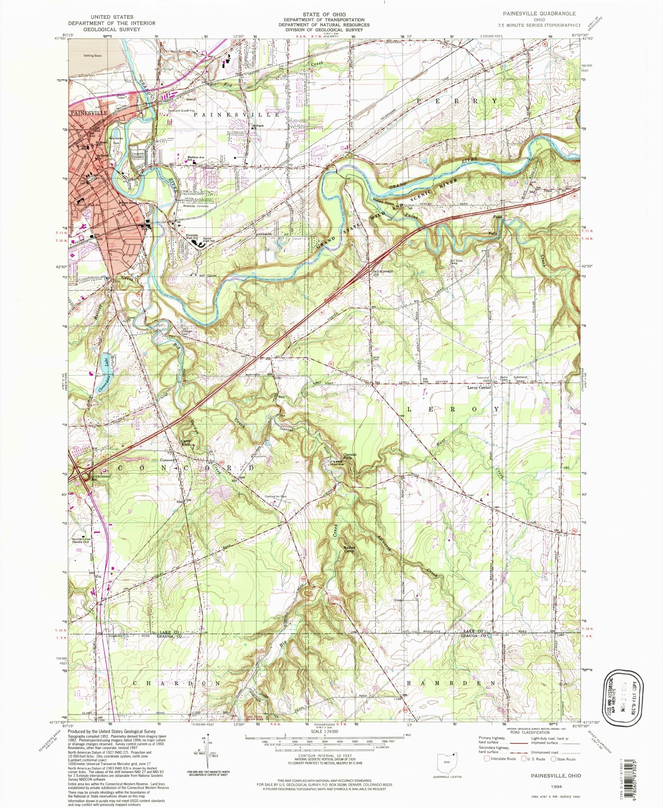
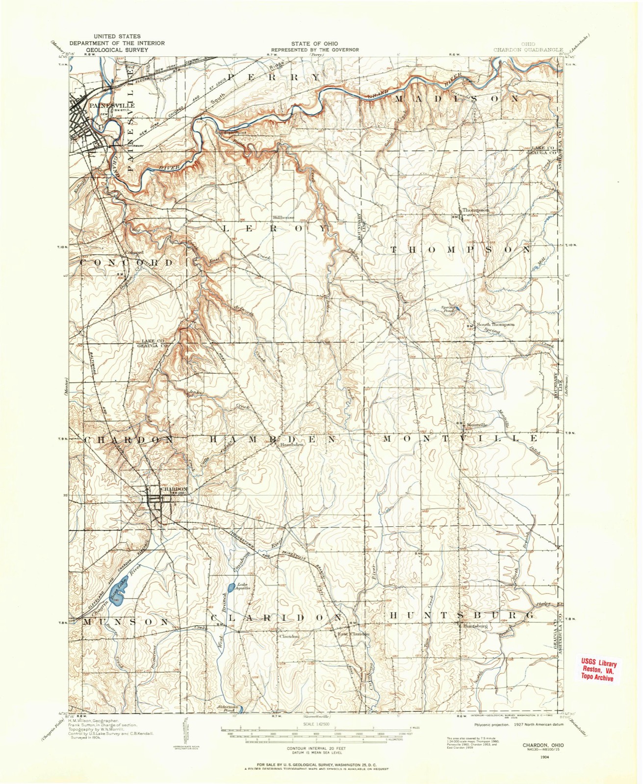
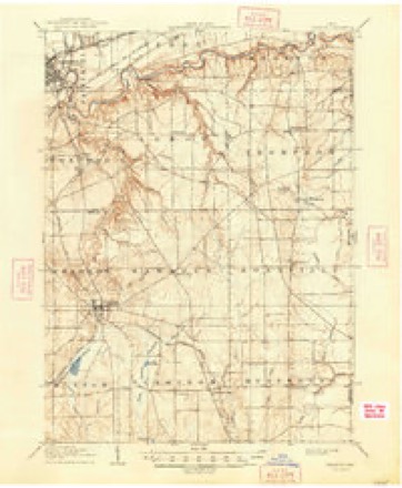
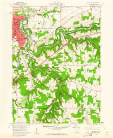
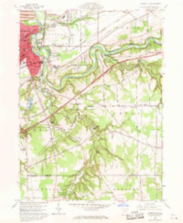
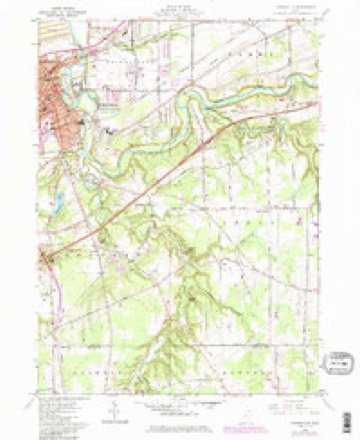
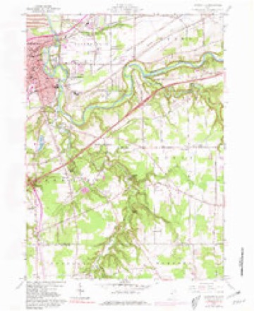
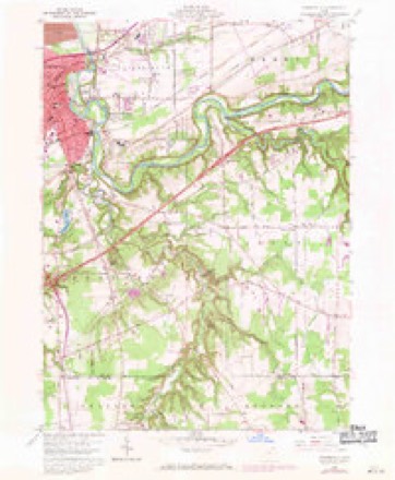
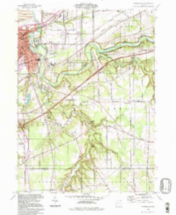
15 topographic sheets cover this place, the earliest surveyed in 1904 and the latest in 1994. It stands in Concord Township. It lies in ZIP code area 44077. It stands on Jordan Creek. The Survey maps it on the Painesville quadrangle.
Then and now
1904 to 1994The same ground, surveyed 90 years apart. Drag the handle to wipe between them. Both sheets are United States Geological Survey originals; neither has been altered.
Compare 1904 against another survey:
Topographic sheets covering this place
15 sheetsMatched by testing this settlement's coordinate against the published boundary of every sheet in the United States Geological Survey's historical collection. Each opens the scanned sheet at the Survey.
- 1904 USGS Chardon quadrangle1:62500
- 1906 USGS Chardon quadrangle1:62500
- 1906 USGS Chardon quadrangle1:62500
- 1956 USGS Cleveland quadrangle1:250000
- 1956 USGS Cleveland quadrangle1:250000
- 1956 USGS Cleveland quadrangle1:250000
- 1960 USGS Painesville quadrangle1:24000
- 1960 USGS Painesville quadrangle1:24000
- 1960 USGS Painesville quadrangle1:24000
- 1960 USGS Painesville quadrangle1:24000
- 1960 USGS Painesville quadrangle1:24000
- 1962 USGS Cleveland quadrangle1:250000
- 1985 USGS Cleveland North quadrangle1:100000
- 1994 USGS Cleveland North quadrangle1:100000
- 1994 USGS Painesville quadrangle1:24000




Specimens collected nearby
12 of 1,308 shownMuseums hold 1,308 specimens collected within 10 miles of Concord between 1864 and 1975: 998 Animalia, 190 Plantae, 101 Fungi, 10 Chromista, 6 Protozoa, 3 Unrecorded. 12 distinct Species records are shown. Collected by A. Doolittle, A. F. Clewell, A. Woolman and others. Each is a physical object with a catalogue number, and each entry opens the museum's record. This is what was collected and kept, not a survey of what lives here - nothing can be concluded from a species being absent.
| Image | Species | Year | Collected by | Where, as recorded |
|---|---|---|---|---|
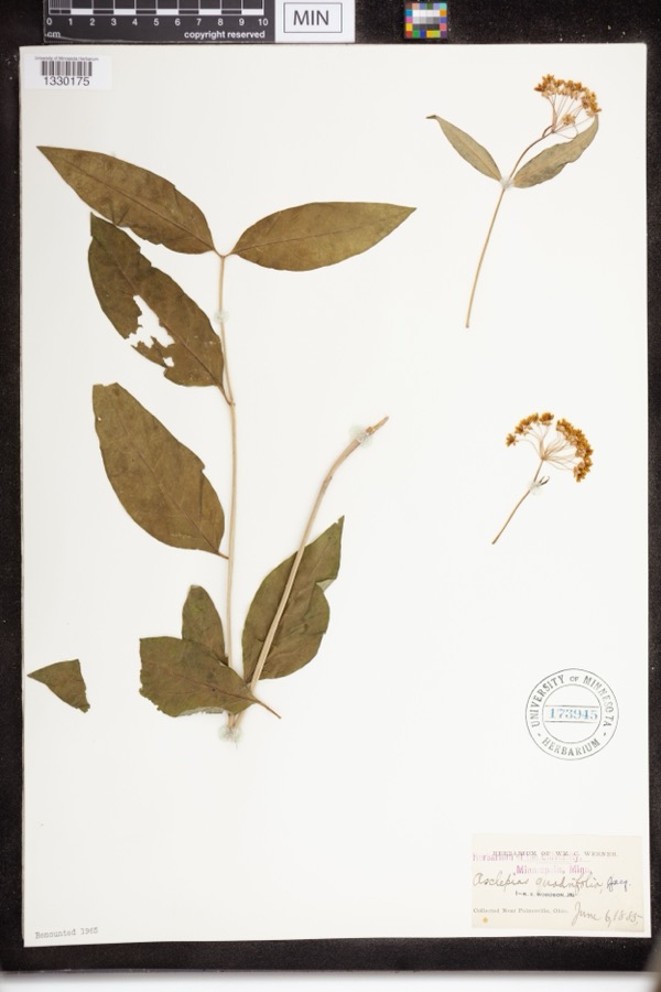 | Asclepias quadrifolia Jacq. | 1885 | Werner, WM.C. | near Painesville |
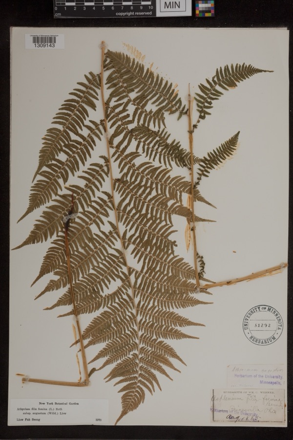 | Athyrium filix-femina subsp. angustum (Willd.) R.T.Clausen | 1885 | Werner, Wm. C. | Painesville |
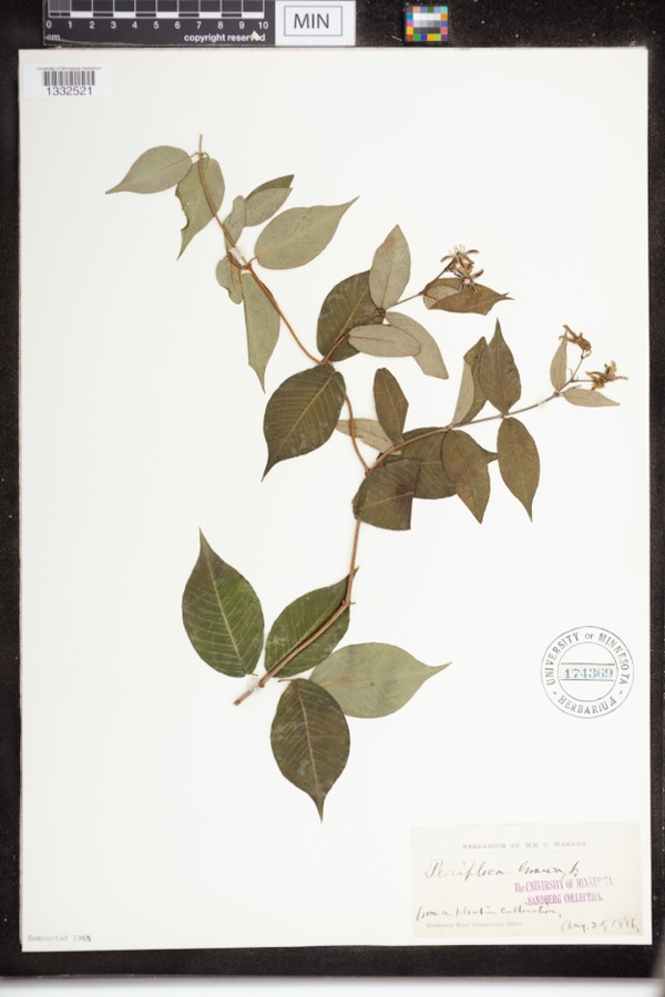 | Periploca graeca L. | 1886 | Werner, WM.C. | Near Painesville |
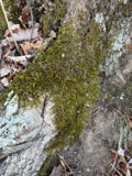 | Leucodon brachypus Brid. | 1864 | E. J. Ferris | |
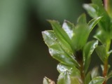 | Mnium spinulosum Bruch & Schimp. | 1864 | E. J. Ferris | Painesville |
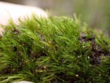 | Dicranella heteromalla (Hedw.) Schimp. | 1871 | H. C. Beardslee, Sr. | |
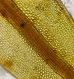 | Didymodon tophaceus (Brid.) Lisa | 1871 | H. C. Beardslee, Sr. | |
 | Discelium nudum (Dicks.) Brid. | 1871 | H. C. Beardslee, Sr. | |
 | Drepanocladus polycarpos (Blandow ex Voit) Warnst. | 1871 | H. C. Beardslee, Sr. | |
| Eurhynchium pulchellum (Hedw.) Jenn. | 1871 | H. C. Beardslee, Sr. | ||
 | Fontinalis sphagnifolia (Müll.Hal.) Wijk & Margad. | 1871 | H. C. Beardslee, Sr. | |
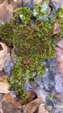 | Orthotrichum stellatum Brid. | 1871 | H. C. Beardslee, Sr. |
All 1,308 specimens within 10 miles, at the Global Biodiversity Information Facility.
Mines and quarries nearby
3 within 5 milesThe federal mineral resources record lists 3 workings within 5 miles of Concord: 2 producers, 1 past producer. 2 still produce. What was taken out: Sand and Gravel, Construction. Distance is straight-line from the map coordinates, so a quarry counted here may appear on a neighbouring settlement's page as well.
| Where | Site | Commodity | Status | Recorded |
|---|---|---|---|---|
| Mentor Sand and Supply Pit | Sand and Gravel, Construction | Producer | ||
| Painesville Pit | Sand and Gravel, Construction | Past Producer | Sedimentary | |
| Sidley's Painesville Pit | Sand and Gravel, Construction | Producer |
Storms nearby
17 since 1994The National Weather Service names Concord in 17 storm reports between 1994 and 2024: 12 thunderstorm wind, 5 hail. No death or injury is recorded in these reports. Each account below is quoted exactly as the forecast office filed it, from the NOAA Storm Events Database, and each date opens the federal record of that event.
| When | Event | Place named | Harm | What the report says |
|---|---|---|---|---|
| May 2011 | Thunderstorm Wind | Concord | $25,000 | Thunderstorm winds downed several trees and large limbs in Concord Township. |
| July 2014 | Thunderstorm Wind | Concord | $20,000 | Thunderstorm winds downed a large tree and some power lines. Scattered power outages were reported. |
| June 1998 | Thunderstorm Wind | Concord | $20,000 | A 50 foot tall tree was downed on a house, in Concord Township, damaging the attic and porch. |
| May 2011 | Thunderstorm Wind | Concord | $10,000 | Thunderstorm winds downed several large trees. |
| July 2012 | Thunderstorm Wind | Concord | $5,000 | Thunderstorm winds downed a few trees. |
| April 1994 | Thunderstorm Wind | Concord | $5,000 | Trees down. |
| August 2017 | Thunderstorm Wind | Concord | $2,000 | Thunderstorm winds downed a couple of trees near Concord. |
| April 2023 | Thunderstorm Wind | Concord | $1,000 | Large pine tree was uprooted and caused very minor damage to metal fence in Concord. |
| February 2024 | Hail | Concord | - | Hail up to nickel-size about one-mile west of Concord. |
| August 2022 | Thunderstorm Wind | Concord | - | Tree downed near Humphrey Hill Drive and Pinecrest Road in Concord Township. Squall line was still outflow-dominant. |
| June 2021 | Thunderstorm Wind | Concord | - | Tree uprooted along Buckingham Place in Painesville area. |
| July 2021 | Thunderstorm Wind | Concord | - | Highland View Drive in Concord closed due to downed trees. |
| June 2021 | Thunderstorm Wind | Concord | - | Large trees down in Concord. |
| May 2011 | Hail | Concord | - | Nickel sized hail was reported. |
| August 2011 | Hail | Concord | - | Penny sized hail was observed. |
| May 2007 | Hail | Concord | - | Nickel to quarter size hail was observed. |
| May 1998 | Hail | Concord | - | no account filed |
Nearest settlements
The eight closest, with where each one stands in the county. Distances are straight-line, computed from the Geographic Names Information System coordinates.
| Map | Place | Distance | Sheets |
|---|---|---|---|
| Clarks (historical) | 1.9 miles | 15 | |
| Pease Mill (historical) | 2.2 miles | 15 | |
| Five Points | 2.7 miles | 15 | |
| West Walnut Estates | 3.1 miles | 16 | |
| Lusard Place | 3.2 miles | 15 | |
| Orchard Grove | 3.3 miles | 16 | |
| Painesville | 3.6 miles | 15 | |
| Little Mountain | 3.8 miles | 16 |
Provenance
This settlement is recorded in the Geographic Names Information System as feature 1056832. The sheet list is computed by point-in-boundary test against the United States Geological Survey's historical topographic inventory. Both are works of the United States government and carry no copyright under 17 U.S.C. 105.
Specimens. Global Biodiversity Information Facility (GBIF), https://www.gbif.org/. Only records licensed CC0 or CC BY are used. Records licensed CC BY-NC are excluded because this site carries advertising. Images are checked individually and any whose licence is non-commercial, no-derivatives or unreadable is refused.
Mines and quarries. USGS Mineral Resources Data System (MRDS) https://mrdata.usgs.gov/mrds/ A work of the United States government, no copyright under 17 U.S.C. 105.
Storms. NOAA National Centers for Environmental Information, Storm Events Database https://www.ncei.noaa.gov/stormevents/ A work of the United States government, no copyright under 17 U.S.C. 105. Narratives are quoted verbatim from the National Weather Service report and are not edited or summarised.