BlockBefore
Decorative drawing: a county panorama. Not a photograph of this place.

Lake County, Ohio

61 topographic sheets and 25 fire insurance atlases across 4 places.

Research this county

This curated hub for Lake County, Ohio brings together the page's documented record links, visible map or image evidence where published, and routes to related local records.

What is documented here?

Use the page's provenance and linked records to distinguish the source material from the site's navigation and summaries.

How should I cite it?

Open the original record, preserve its repository and identifier, then use the citation tool for this page as a path back to the source.

Where should I go next?

Follow the county or state hub for related places and records, then use the guide for a source-aware research sequence.

From the record

75 National Register listings, of which 2 are National Historic Landmarks · 62 businesses named in the fire insurance atlases from 1889 to 1952 · the 1861 county history tells 0 stories and names 0 people.

Sources: the county history on the Internet Archive · the National Register database, National Park Service

Ohio within the United States
Lake County within Ohio
Explore by year 1854 1952

What the record shows

  • 4 places in this county were surveyed for fire insurance: Painesville, Willoughby, Madison, Mentor, between 1884 and 1952.
  • 25 fire insurance atlas(es) survive for the county. Topographic coverage is national; fire insurance survey reached only incorporated places with something worth insuring.
  • 1,001 topographic sheet readings cover the county's settlements.
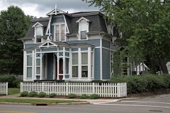
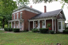
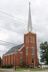
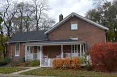
  • 75 properties here are on the National Register of Historic Places, including 47 houses and farms.
  • 32 of the 75 listings were added during the 1970s.
  • The Geographic Names Information System records 72 populated places in this county; 0 are covered by at least one topographic sheet.
  • 1 public-domain county history, 1861, supply 0 words of narrative reproduced here in full.

Photographs

42 photographs, 1942

Taken for the Office of War Information and the Farm Security Administration, who photographed the country between 1935 and 1944. Works of United States government photographers, with no known restriction on use. Each opens its catalogue record.

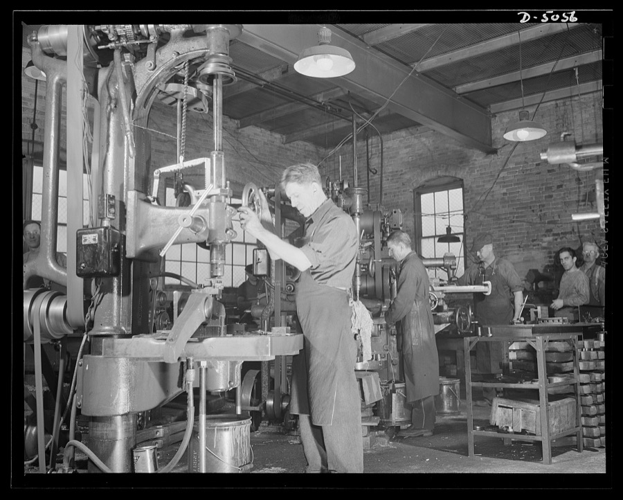
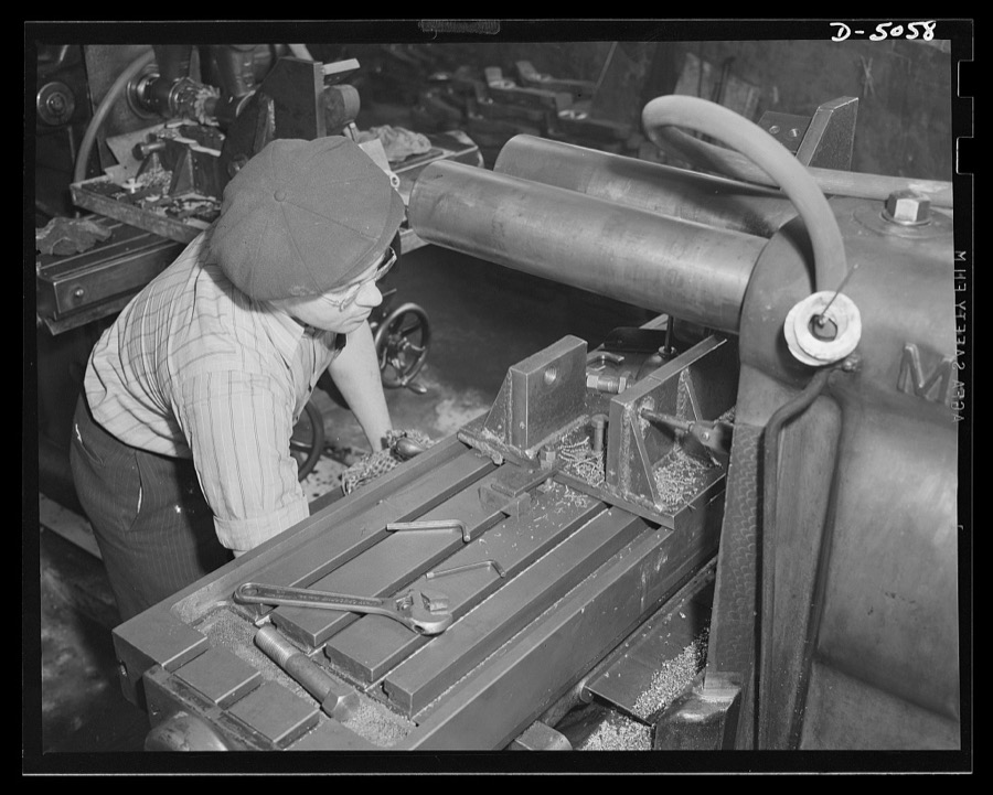
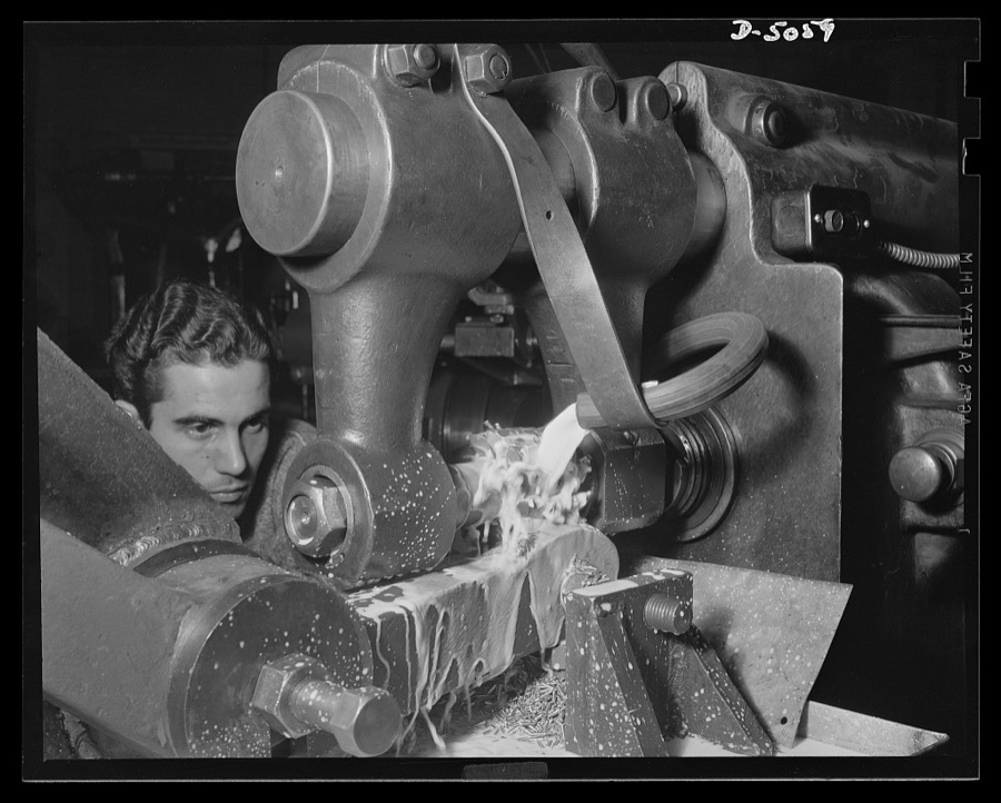
Subcontracting. Bogie-wheel assembly. Spot facing for a bolt and lock washer that holds a bogie-wheel rubbing plate in place on a lever. The work is being done in the machine shop of a small Eastern subcontractor. Painesville Machine Company
Palmer, Alfred T., photographer, 1942. Library of Congress
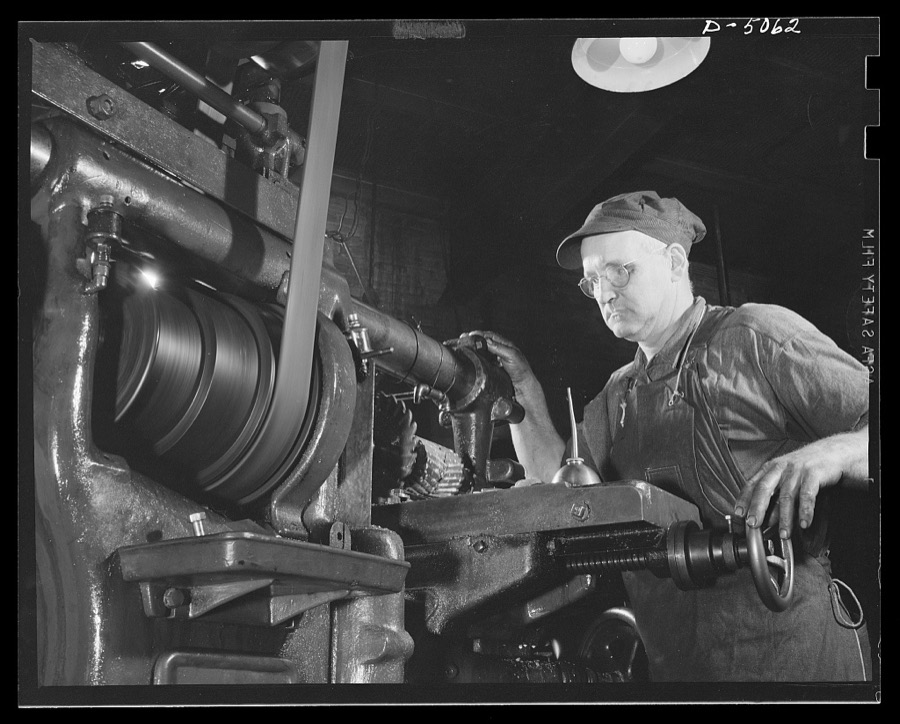
Conversion. Toy furniture to dies for incendiary bombs. This milling machine formerly used in producing metal furniture for doll houses, has a much more important task these days. It's scraping steel plate to be used in bomb dies. Location: a small factory, somewhere in the middle west. Sivon Machine Company, Painesville, Ohio
Palmer, Alfred T., photographer, 1942. Library of Congress
Subcontracting. Bogie-wheel assembly. Facing, counterboring and milling operations are performed on bogie-wheel levers in the machine shop of an Eastern subcontractor. Painesville Machine Company
Palmer, Alfred T., photographer, 1942. Library of Congress
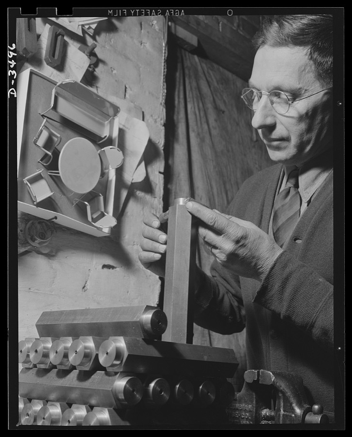
Conversion. Toy furniture to dies for incendiary bombs. This worker in a small Midwest factory is handling dies for use in producing incendiary bombs. The company, which formerly made doll's furniture, is now operating under subcontract for war production Sivon Machine Company, Painesville, Ohio
Palmer, Alfred T., photographer, 1942. Library of Congress
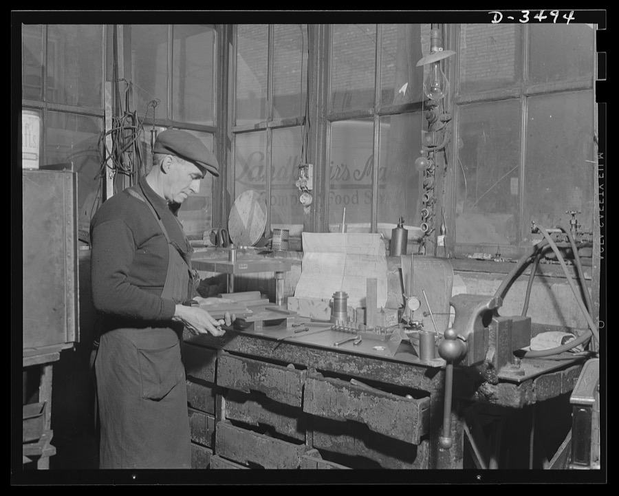
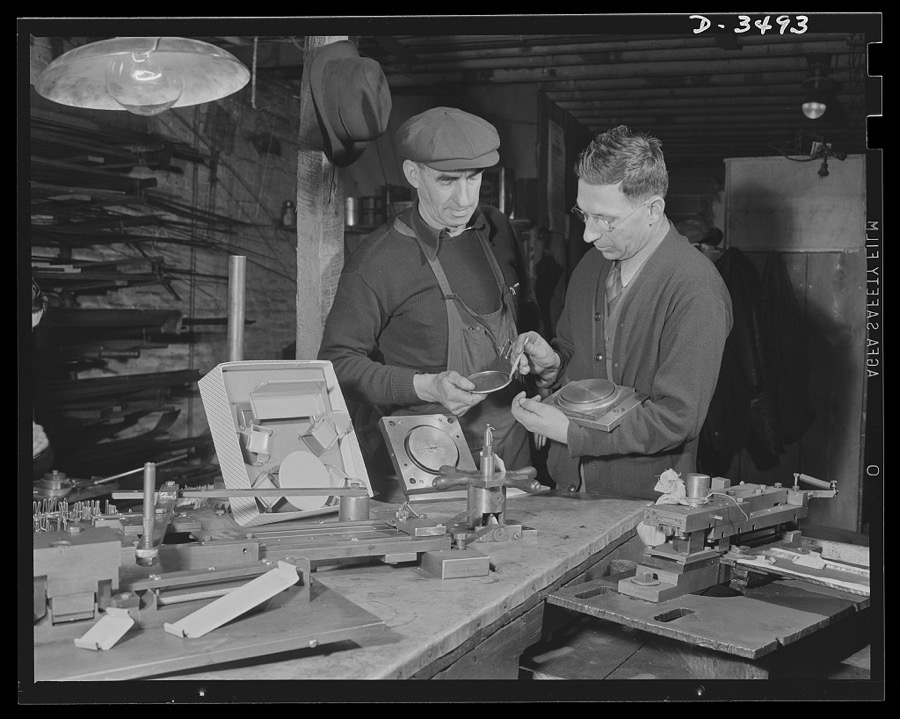
Conversion. Toy furniture to dies for incendiary bombs. Owner and foreman of this small Midwest factory check final pieces of doll's metal furniture before the shop is given over entirely to war production. In foreground are tools and dies which made the toys. All of the equipment will be converted to production of incendiary bomb fixtures. Sivon Machine Company, Painesville, Ohio
Palmer, Alfred T., photographer, 1942. Library of Congress
Subcontracting. Bogie-wheel assembly. A new jig is machined for use in the milling of a rubber plate in a bogie-wheel assembly. The work is being done in the machine shop of an Eastern subcontractor. Painesville Machine Company
Palmer, Alfred T., photographer, 1942. Library of Congress
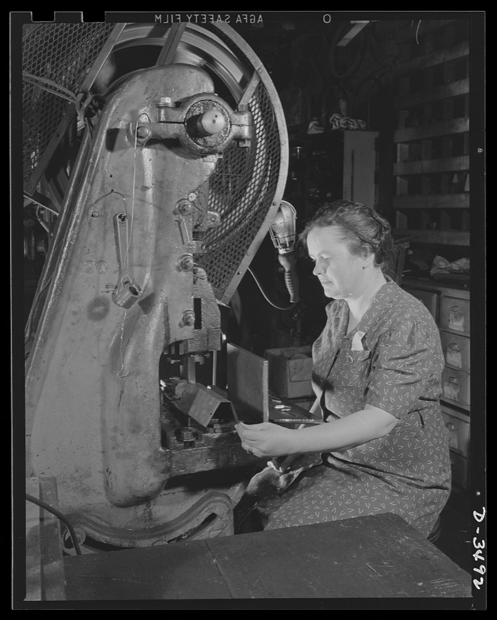
Conversion.Toy furniture to dies for incendiary bombs. The hands that rocks the cradle can also rock the Axis. American women are rapidly taking their places on the industrial front. Here in this small Midwest factory, the owner's wife operates one of the machines making dies for incendiary bombs. Sivon Machine Company, Painesville, Ohio
Palmer, Alfred T., photographer, 1942. Library of Congress
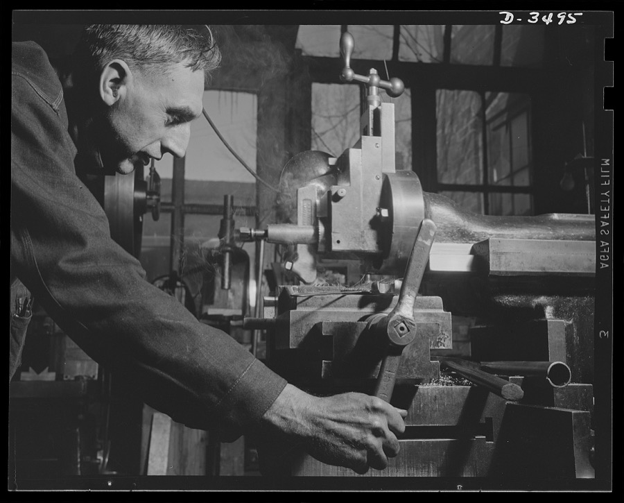
Subcontracting. Bogie-wheel assembly. Lining up a milling machine fixture in the shop of an Eastern subcontractor working on the production of bogie-wheel assembly parts. The particular operation shown is the milling of a slot in a rubbing plate. Painesville Machine Company
Palmer, Alfred T., photographer, 1942. Library of Congress
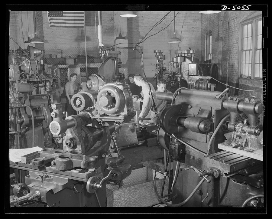
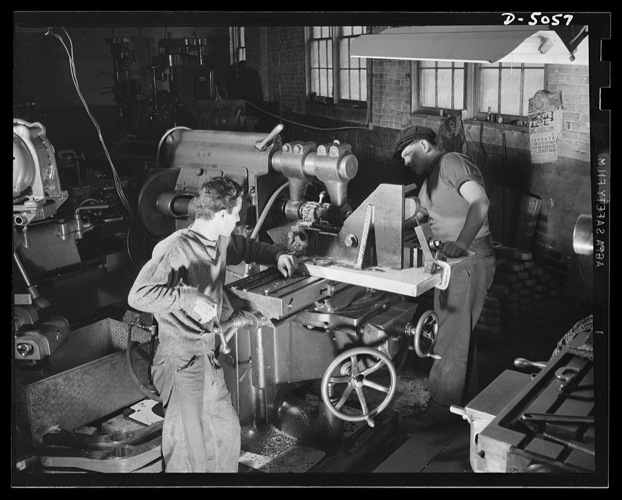
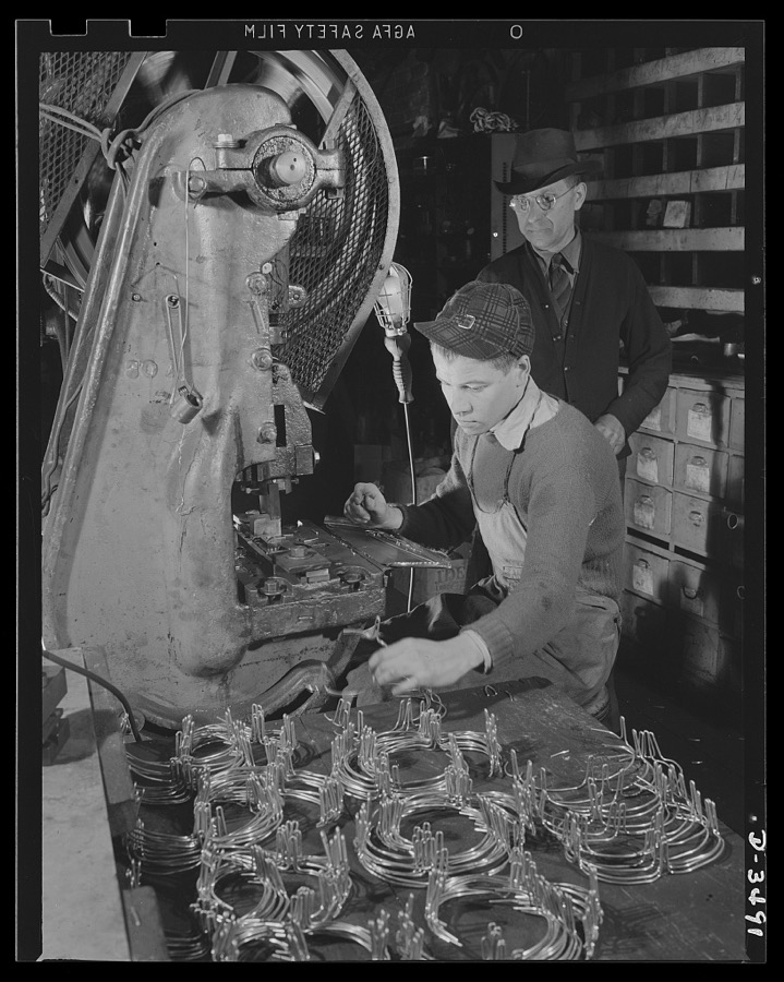
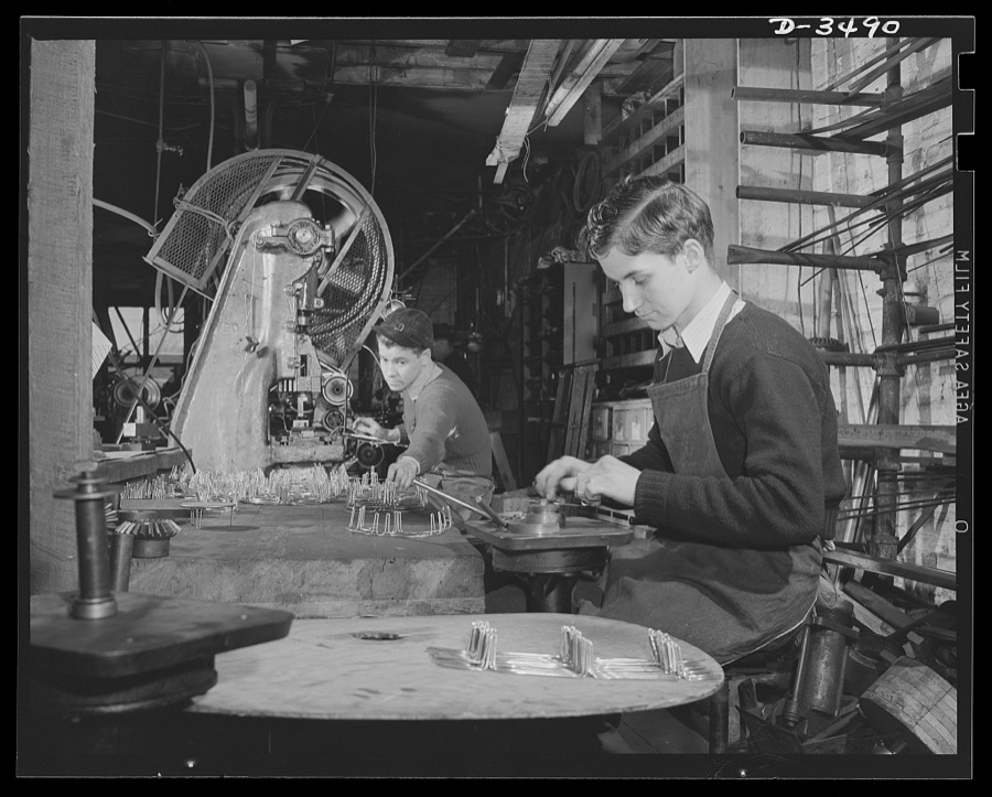
Conversion. Toy furniture to dies for incendiary bombs. This small Midwest machine shop used to manufacture doll's furniture and fly swatters before Pearl Harbor. Subcontracts on defense orders now occupy all machines as rapidly as the old stock can be assembled. Here two high school boys complete machine work on metal legs for the furniture. Sivon Machine Company, Painesville, Ohio
Palmer, Alfred T., photographer, 1942. Library of Congress
Subcontracting. Machine gun recoil plate. A slot is milled in a machine gun recoil plate, and the plate itself is cut to length in the machine shop of an Eastern subcontractor. Painesville Machine Company
Palmer, Alfred T., photographer, 1942. Library of Congress
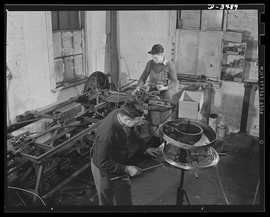
Conversion. Toy furniture to dies for incendiary bombs. This small Midwest machine shop used to manufacture doll's furniture and fly swatters before Pearl Harbor. Today, busy with subcontracts on war production orders, they're hurrying the last lengths of swatter-wire off the machines. Circular machines at right cuts and twists the lengths of wire. Sivon Machine Company, Painesville, Ohio
Palmer, Alfred T., photographer, 1942. Library of Congress
Conversion. Toy furniture to dies for incendiary bombs. This small Midwest machine shop used to manufacture doll's furniture and fly swatters before Pearl Harbor. Subcontracts on defense orders now occupy all machines as rapidly as the old stock can be assembled. Here two high school boys complete machine work on metal legs for the furniture. Sivon Machine Company, Painesville, Ohio
Palmer, Alfred T., photographer, 1942. Library of Congress
Subcontracting. Bogie-wheel assembly. Milling a slot in the rubbing plate of a bogie-wheel assembly. An Eastern subcontractor is doing the work in a machine shop set up in an unused garage. Painesville Machine Company
Palmer, Alfred T., photographer, 1942. Library of Congress
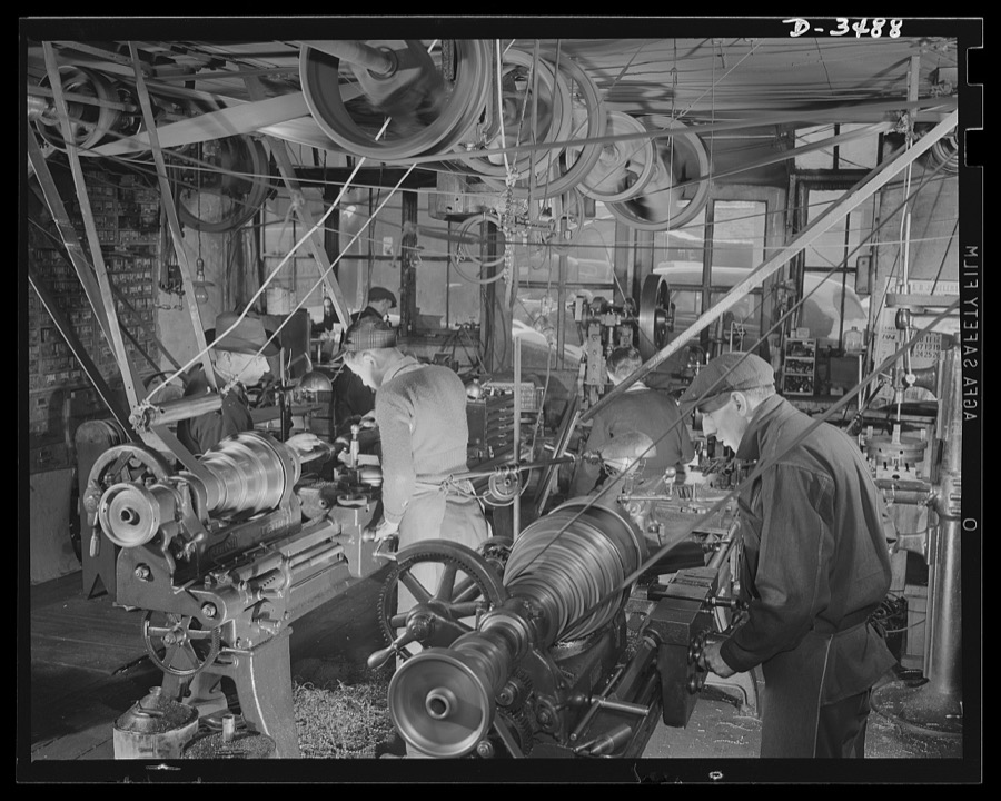
Conversion. Toy furniture to dies for incendiary bombs. Founded in 1900, this small Midwest machine shop is busy today with defense work. Note overhead power-driven belts, which, though obsolete, are still producing full speed ahead. Sivon Machine Company, Painesville, Ohio
Palmer, Alfred T., photographer, 1942. Library of Congress
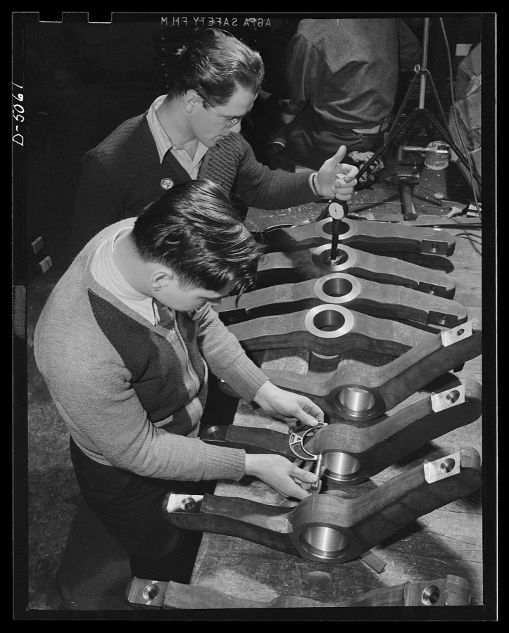
Subcontracting. Bogie-wheel assembly. Army ordnance inspectors check finished levers for bogie-wheel assemblies in the machine shop of an Eastern subcontractor. Painesville Machine Company
Palmer, Alfred T., photographer, 1942. Library of Congress
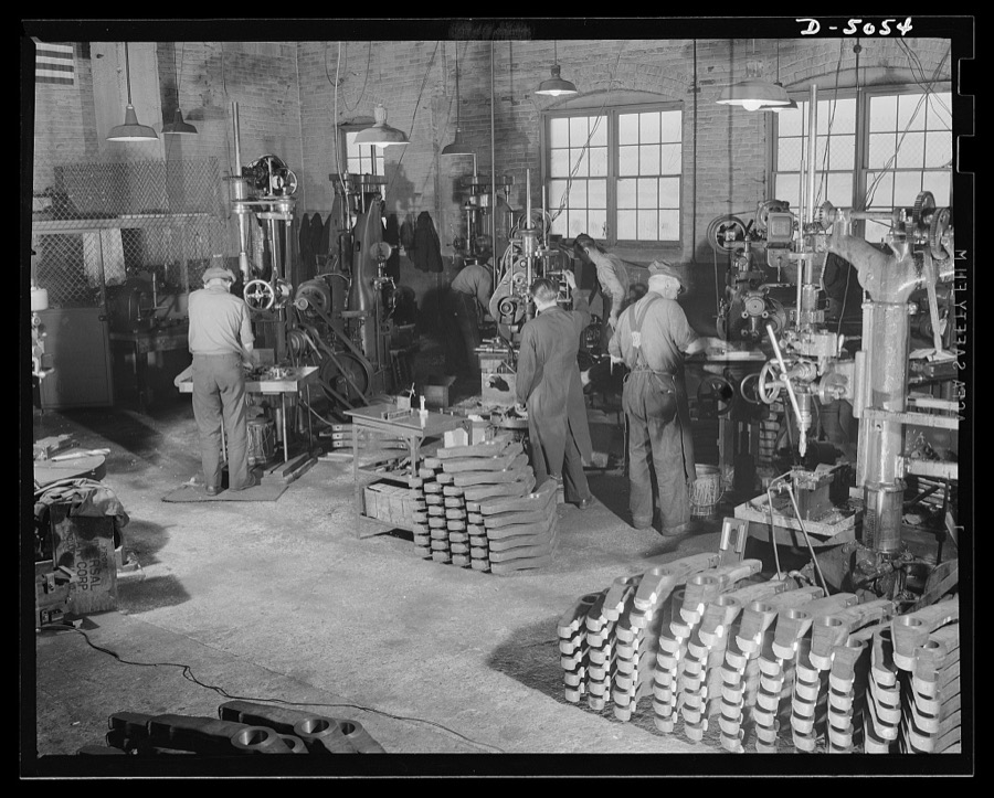
Subcontracting. Bogie-wheel assembly. Production of bogie-wheel assembly parts in the machine shop of an Eastern subcontractor. These machine operators are drilling, counterboring and milling bogie wheel levers. Painesville Machine Company
Palmer, Alfred T., photographer, 1942. Library of Congress
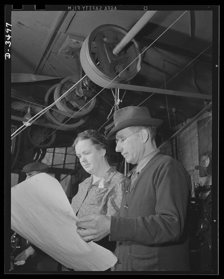
Conversion. Toy furniture to dies for incendiary bombs. More space for making bomb dies. The owner of a small factory and his wife inspect blue prints of the addition they need to accomodate their war production, on orders. Fifty, instead of seven men, will man the new shop. Sivon Machine Company, Painesville, Ohio
Palmer, Alfred T., photographer, 1942. Library of Congress
Subcontracting. Bogie-wheel assembly. An Eastern subcontractor is steadily turning out parts for a halftrac bogie-wheel assembly in a machine shop located in an unused garage building. Painesville Machine Company
Palmer, Alfred T., photographer, 1942. Library of Congress
Conversion. Toy furniture to dies for incendiary bombs. Dies to destroy the Axis. The owner of this small Midwest factory inspects dies for making incendiary bombs. Note doll's furniture on the wall, the company's previous product. Complete conversion of all machines for this factory's production of war essentials is rapidly taking place. Sivon Machine Company, Painesville, Ohio
Palmer, Alfred T., photographer, 1942. Library of Congress
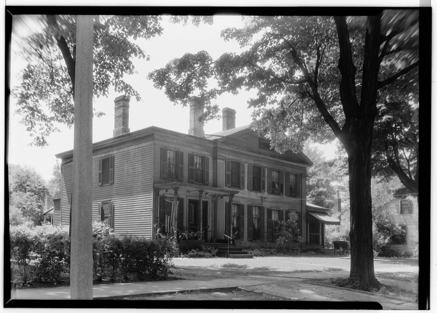
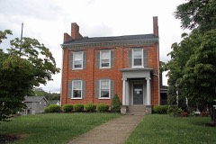
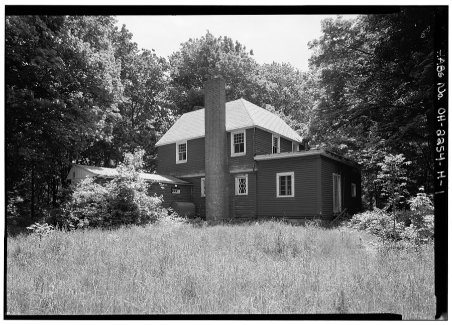
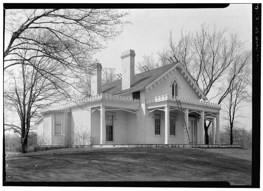
Colonel Robert Harper House, Unionville, Lake County, OH
Unattributed, . Library of Congress
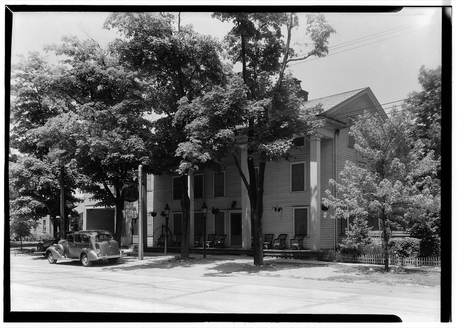
Rider Tavern, Painesville, Lake County, OH
Unattributed, . Library of Congress
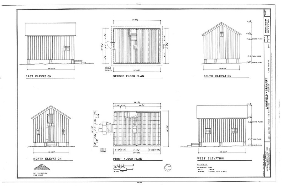
Lawnfield, Granary, 8095 Mentor Avenue (U.S. Route 20), Mentor, Lake County, OH
Unattributed, . Library of Congress
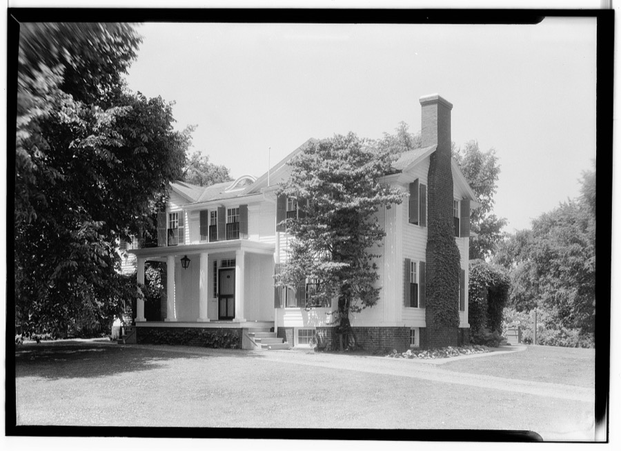
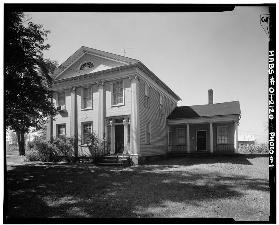
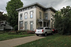
Seth Marshall Residence, 375 Bank Street, Painesville, Lake County, OH
Unattributed, . Library of Congress
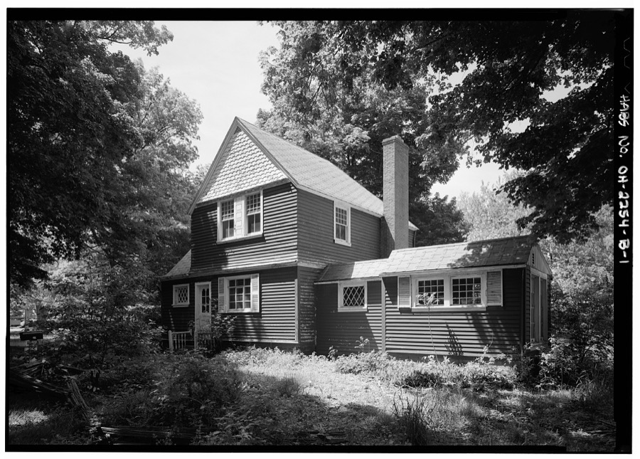
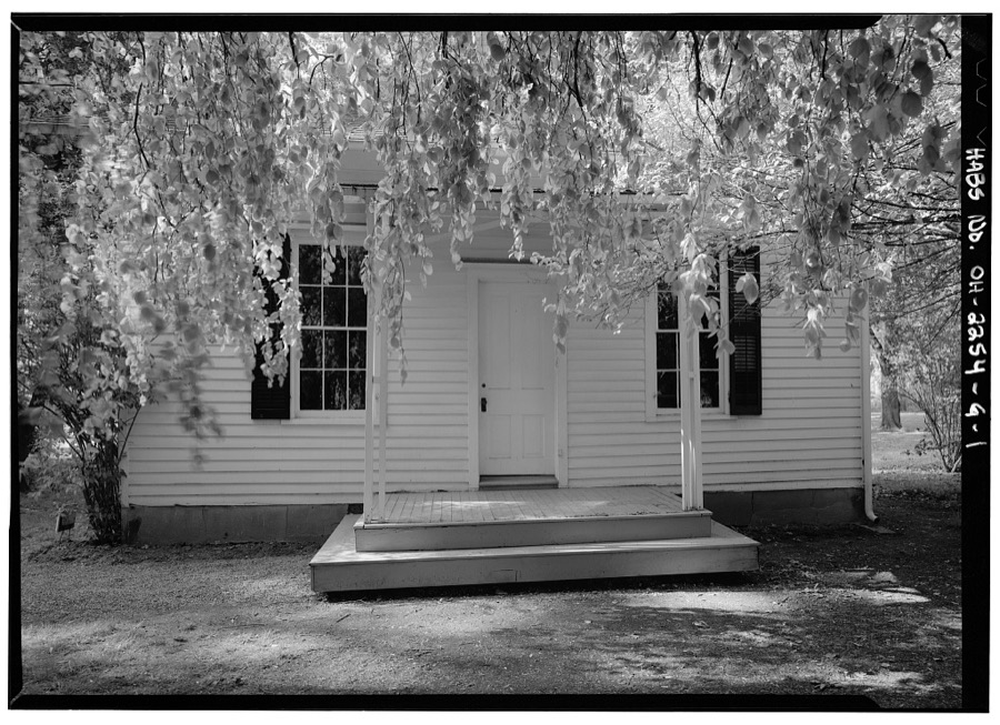
Lawnfield, Cottage, 8095 Mentor Avenue (U.S. Route 20), Mentor, Lake County, OH
Unattributed, . Library of Congress
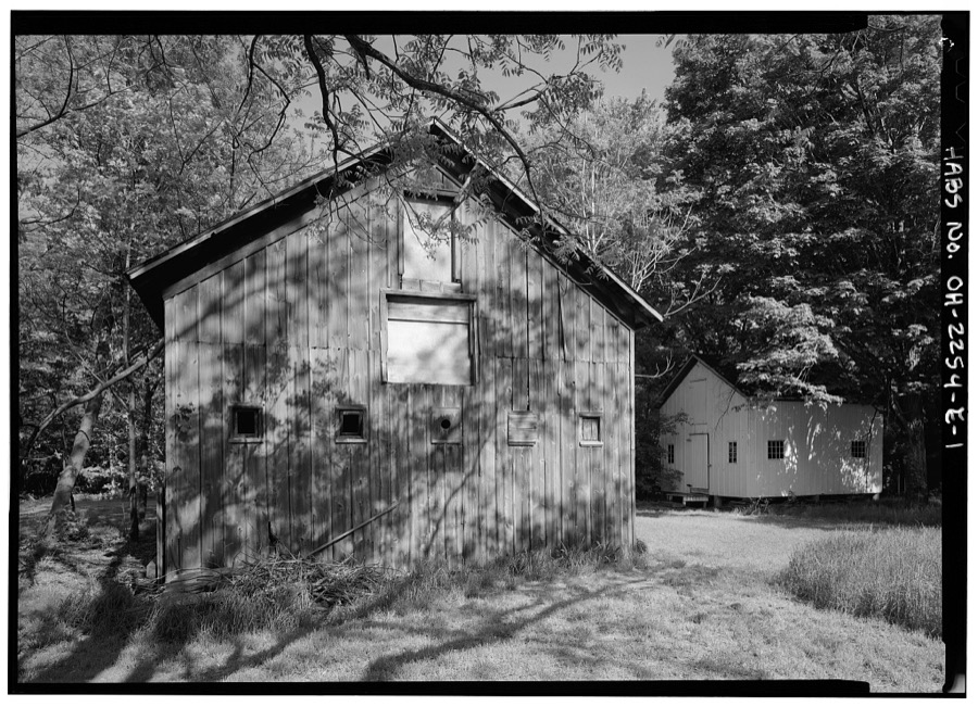
Lawnfield, Barn, 8095 Mentor Avenue (U.S. Route 20), Mentor, Lake County, OH
Unattributed, . Library of Congress
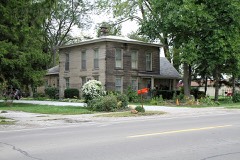
William P. Robinson House, 3742 Erie Street, Willoughby, Lake County, OH
Unattributed, . Library of Congress
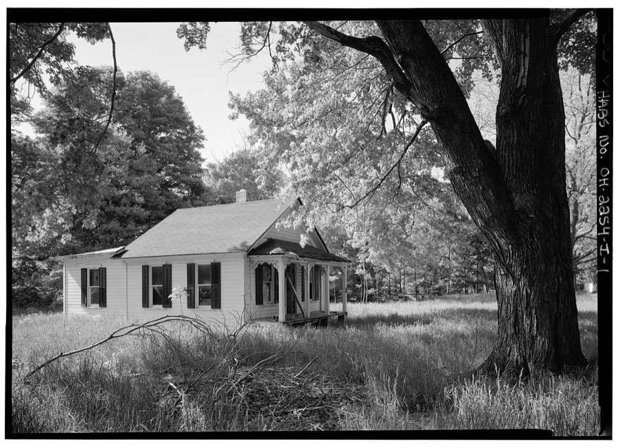
Lawnfield, Tenant House, 8095 Mentor Avenue (U.S. Route 20), Mentor, Lake County, OH
Unattributed, . Library of Congress
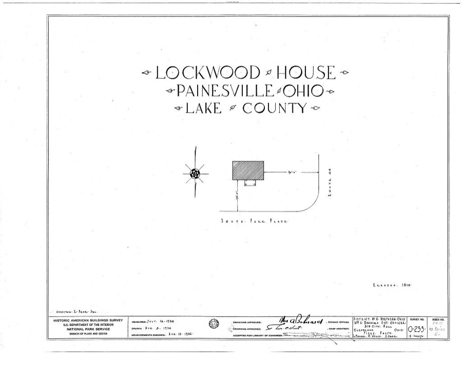
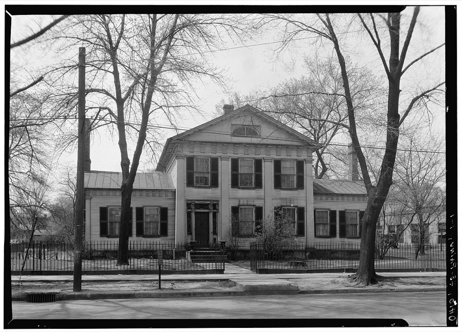
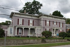
Lockwood House, South Park Place, Painesville, Lake County, OH
Unattributed, . Library of Congress
Lawnfield, Windmill, 8095 Mentor Avenue (U.S. Route 20), Mentor, Lake County, OH
Unattributed, . Library of Congress
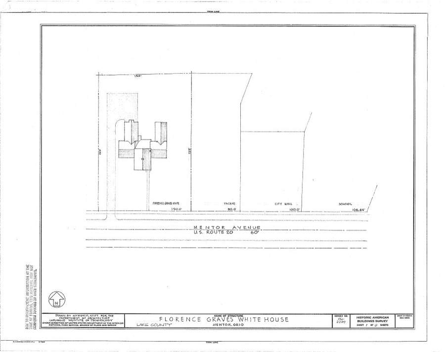
Florence Graves White House, Mentor Avenue (U.S. Route 20), Mentor, Lake County, OH
Unattributed, . Library of Congress
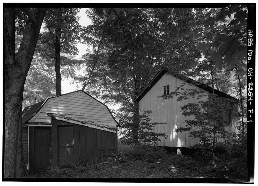
Lawnfield, Chicken Coop, 8095 Mentor Avenue (U.S. Route 20), Mentor, Lake County, OH
Unattributed, . Library of Congress
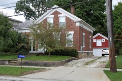
Dr. John H. Mathews House, 309 North State Street, Painesville, Lake County, OH
Unattributed, . Library of Congress
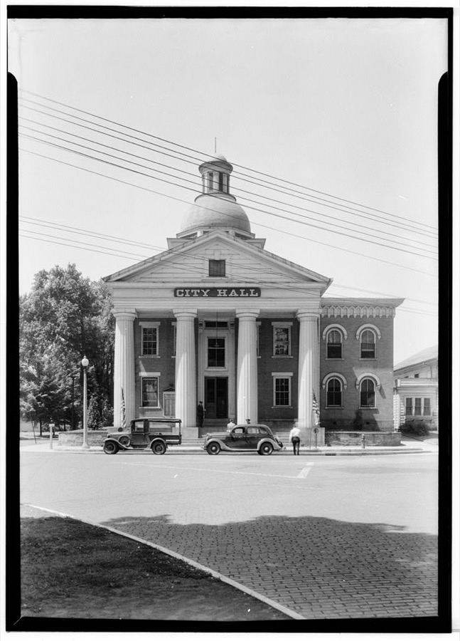
Old Courthouse, Richmond & Mentor Avenues, Painesville, Lake County, OH
Unattributed, . Library of Congress
Lawnfield, Campaign Office, 8095 Mentor Avenue (U.S. Route 20), Mentor, Lake County, OH
Unattributed, . Library of Congress
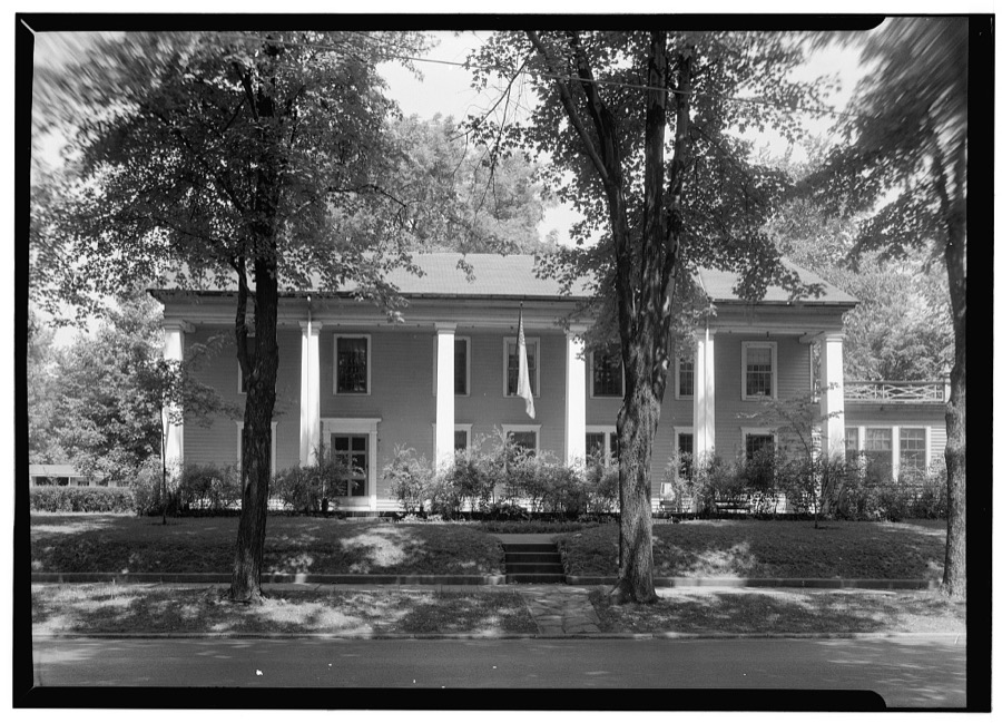
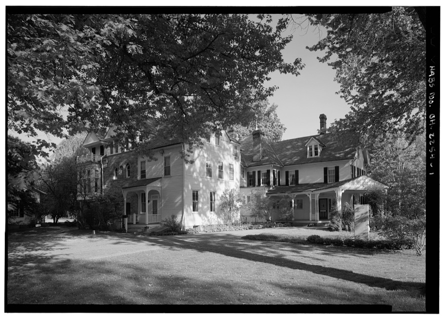
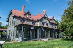
Lawnfield, 8095 Mentor Avenue (U.S. Route 20), Mentor, Lake County, OH
Unattributed, . Library of Congress
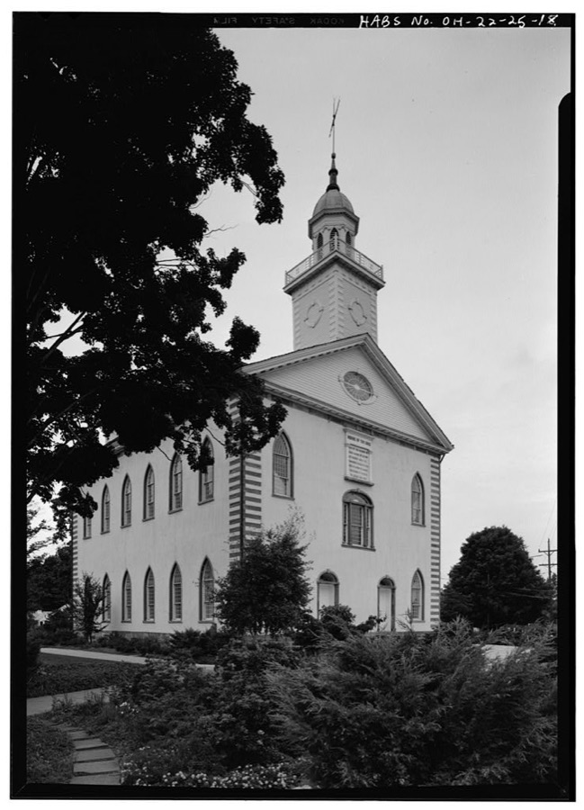
Kirtland Temple (Mormon), 9020 Chillicoth Road, Kirtland, Lake County, OH
Unattributed, . Library of Congress
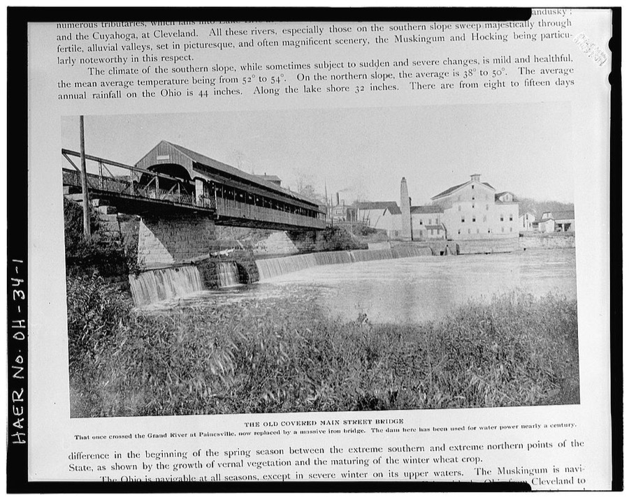
Main Street Bridge, Spanning Grand River at Main Street, Painesville, Lake County, OH
Unattributed, . Library of Congress
Lawnfield, Second Tenant House, 8095 Mentor Avenue (U.S. Route 20), Mentor, Lake County, OH
Unattributed, . Library of Congress
Thomas Bolton House, Euclid Road & East Seventy-first Street, Mentor, Lake County, OH
Unattributed, . Library of Congress
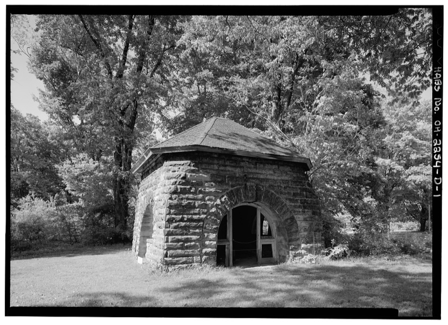
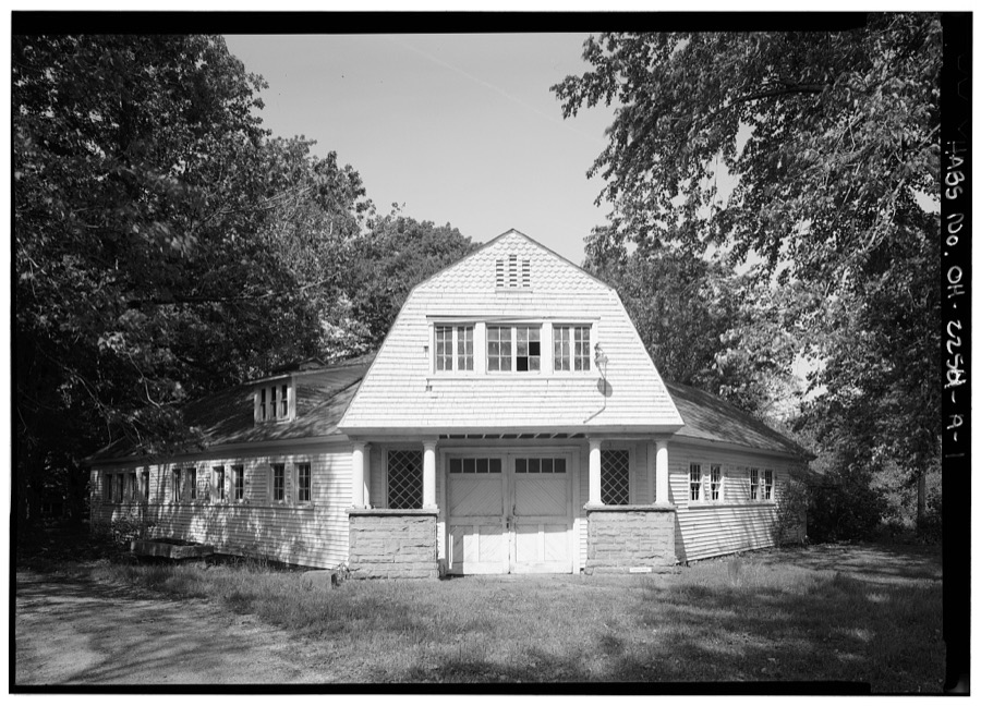
Lawnfield, Carriage House & Gasholder, 8095 Mentor Avenue (U.S. Route 20), Mentor, Lake County, OH
Unattributed, . Library of Congress
Malin House, 30 South Park Place, Painesville, Lake County, OH
Unattributed, . Library of Congress
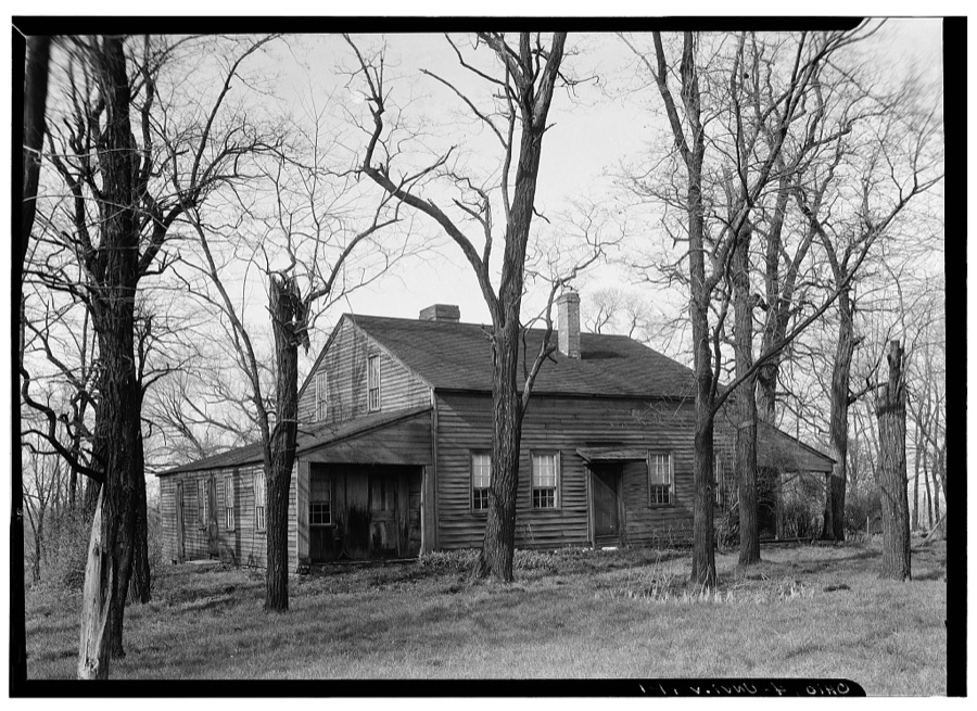
Unionville Tavern, County Line Road, Unionville, Lake County, OH
Unattributed, . Library of Congress

Places on the National Register

75

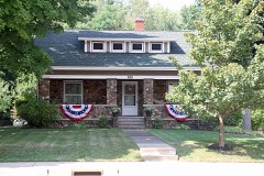
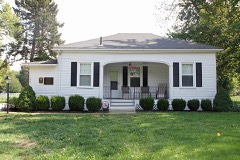
Every property in this county listed on the National Register of Historic Places, with the year it was listed and the federal nomination document.

Photograph PropertyType ListedReference
Administration Building, Lake Erie Collegebuilding197373001486
Bedford Baptist Churchbuilding200202001618
Boyce, Julia F. Country Estatebuilding2023100009151
Brick Vernacular House No. 1building198080003108
Brick Vernacular House No. 2building198080003109
Casement Housebuilding197575001454
Cheese-vat Factorybuilding198080003110
Childs, Alpha Charles, Housebuilding198080003111
Childs, Robertus W., Housebuilding198080003112
Connecticut Land Company Officebuilding197373001491
Corning-White Housebuilding197272001027
Coulby, Harry, Mansionbuilding197979001875
Damon, George, Housebuilding198080003113
Dayton, James, Housebuilding198080003114
Dayton, James, House, IIbuilding198080003115
DeHeck, Albert, Housebuilding198080003116
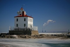
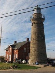
Fairport Harbor West Breakwater Lightstructure199292000242
Fairport Marine Museumstructure197171000642
Foster, Claud, Housebuilding200404000611
Fuller, Frances Ensign, Housebuilding198080003117
Garfield Librarybuilding197979001872
Gilbert, Jane, Housebuilding198080003118
Gill, H., Housebuilding198080003119
Gray-Coulton Housebuilding197575001452
Green, Lucius, Housebuilding197676001462
Hendry, Francis, Housebuilding198080003120
Indian Point Fortsite197474001543
Ingersoll, Cyrus J., Housebuilding198080003121
James A. Garfield National Historic Sitebuilding196666000613
Jones, John J., Housebuilding198080003122
Kellogg, John, House and Barnbuilding198080003123
Kimball, Addison, Housebuilding197575001449
Kimball, Lemuel II, Housebuilding197474001540
Kimball, Solomon, Housebuilding198080003124
Kirtland Templebuilding196969000145
Ladd's Tavernbuilding197878002091
Lake County National Bank Buildingbuilding2020100005323
Lake Shore and Michigan Southern RR Depot and Freight Housebuilding197878002092
Lawnfield--James A. Garfield Estate (Additional Documentation and Boundary Clarification)building201515000675
Lutz's Tavernbuilding197373001487
Lyman, William, Housebuilding198080003125
Madison Seminary And Homebuilding197979001871
Mason, James, Housebuilding197575001453
Mathews Housebuilding197373001488
Mentor Village Hallbuilding201414000591
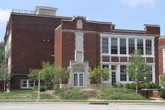
Mentor Village Schoolbuilding200505000026
Metcalf, Rev. Harlan, Housebuilding198080003126
Methodist Episcopal Church of Painesville, Thebuilding199898000043
Morley, Lewis, Housebuilding197878002094
Norfolk and Western Freight Stationbuilding198080003127
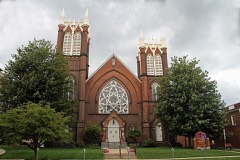
Old South Churchbuilding197373001485
Oliver, John G., Housebuilding198181000444
Paige, David R., Housebuilding197575001450
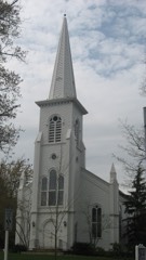
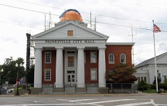
Painesville City Hallbuilding197272001028
Pease, George, Housebuilding198080003128
Sawyer-Wayside Housebuilding197474001542
Seeley, Uri, Housebuilding197373001489
Selby, Orland, Housebuilding198080003129
Sessions Housebuilding197373001490
Smart Buildingbuilding198383001989
Smead Housebuilding197474001544
Smead, David, Housebuilding198080003130
South Leroy Meetinghousebuilding197979001873
St. James Episcopal Churchbuilding197575001455
Staley, Mr. and Mrs. Karl A., Housebuilding201414000042
Talcott, Joseph, Housebuilding198080003131
Tappan, Judge Abraham, Housebuilding197979001874
Unionville District Schoolbuilding197878002095
Unionville Tavernbuilding197373001492
Ware, Edwin L., Housebuilding198080003132
Whitney, Newel K., Storebuilding198484003759
Wilson, George D., Housebuilding198080003133
Winans, Dr. J. C., Housebuilding197676001461
Yager, John and Carrie, Housebuilding199494000240
Young, Benjamin and Mary, Housebuilding199696000867

Covered bridges

0

Lake County holds 0 covered bridges on the National Register, more than any other property type here. Each is a listed structure with a federal nomination on file.

Digitised newspapers

9 issues

Sampled issues, machine-read from the Library of Congress scan and published page by page, so every headline and column is searchable text.

Painesville Journal

Painesville, Ohio, 1871 to 1872. Machine-read from the Library of Congress scan.

Northern Ohio Journal

Painesville, Ohio, 1872 to 1896. Machine-read from the Library of Congress scan.

Bird's-eye views and land ownership maps

4

Drawn when these were printed as single large sheets: the town seen from the air, and the county divided into its farms with every owner named. Each opens the original at the Library of Congress.

Land ownership map, 1875 - Caldwell's atlas of Madison Co., Ohio
Land ownership map (1875) - Caldwell's atlas of Madison Co., Ohio. Library of Congress.
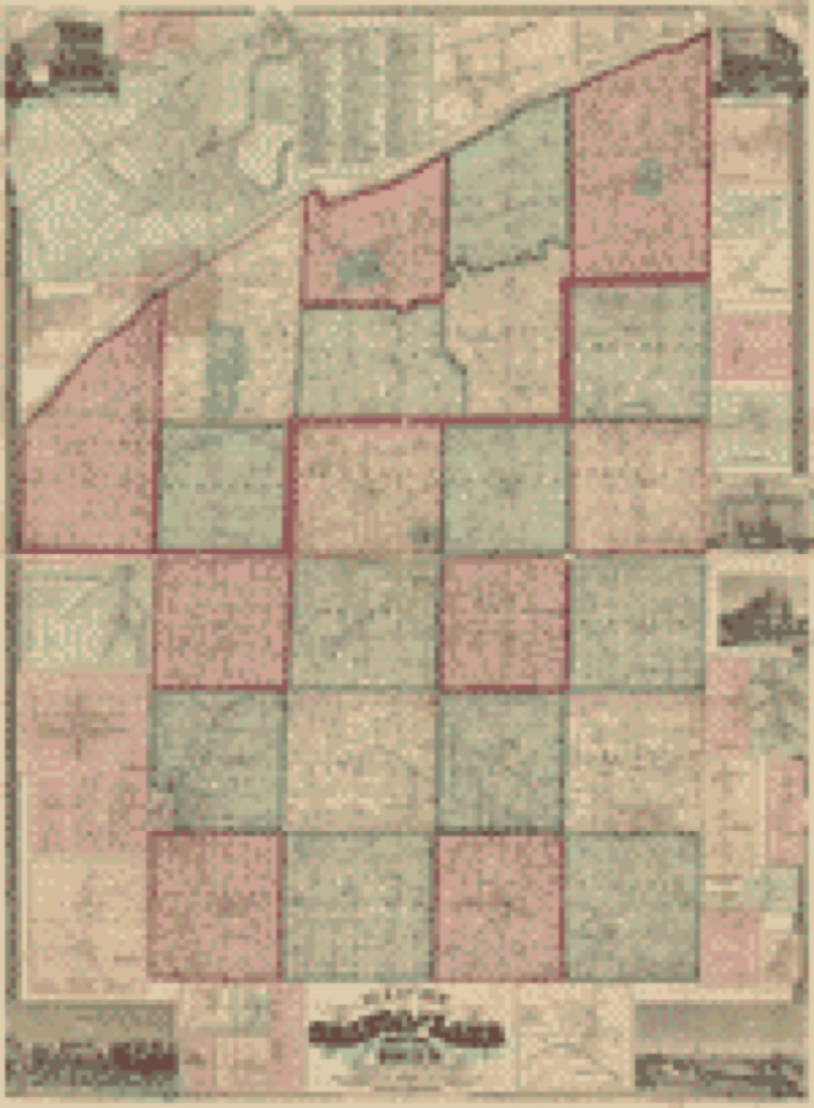
Land ownership map, 1857 - Map of Geauga and Lake counties, Ohio
Land ownership map (1857) - Map of Geauga and Lake counties, Ohio. Library of Congress.
Land ownership map, 1862 - Map of Madison County, Ohio
Land ownership map (1862) - Map of Madison County, Ohio. Library of Congress.
Land ownership map, 1859 - Map of Perry County, Ohio
Land ownership map (1859) - Map of Perry County, Ohio. Library of Congress.

Photographs from libraries nationwide

4 of 10 shown

Selected from the Digital Public Library of America's 10 image records catalogued for this county. Every one shown here carries a public-domain status or a licence that permits reuse on a site that carries advertising; non-commercial, share-alike and restricted images are excluded. The selection is spread across the county's towns (at most eight per town), so no single institution's bulk upload crowds out the rest. Each opens the holding library's record, and the complete set at the Digital Public Library of America is one click away.

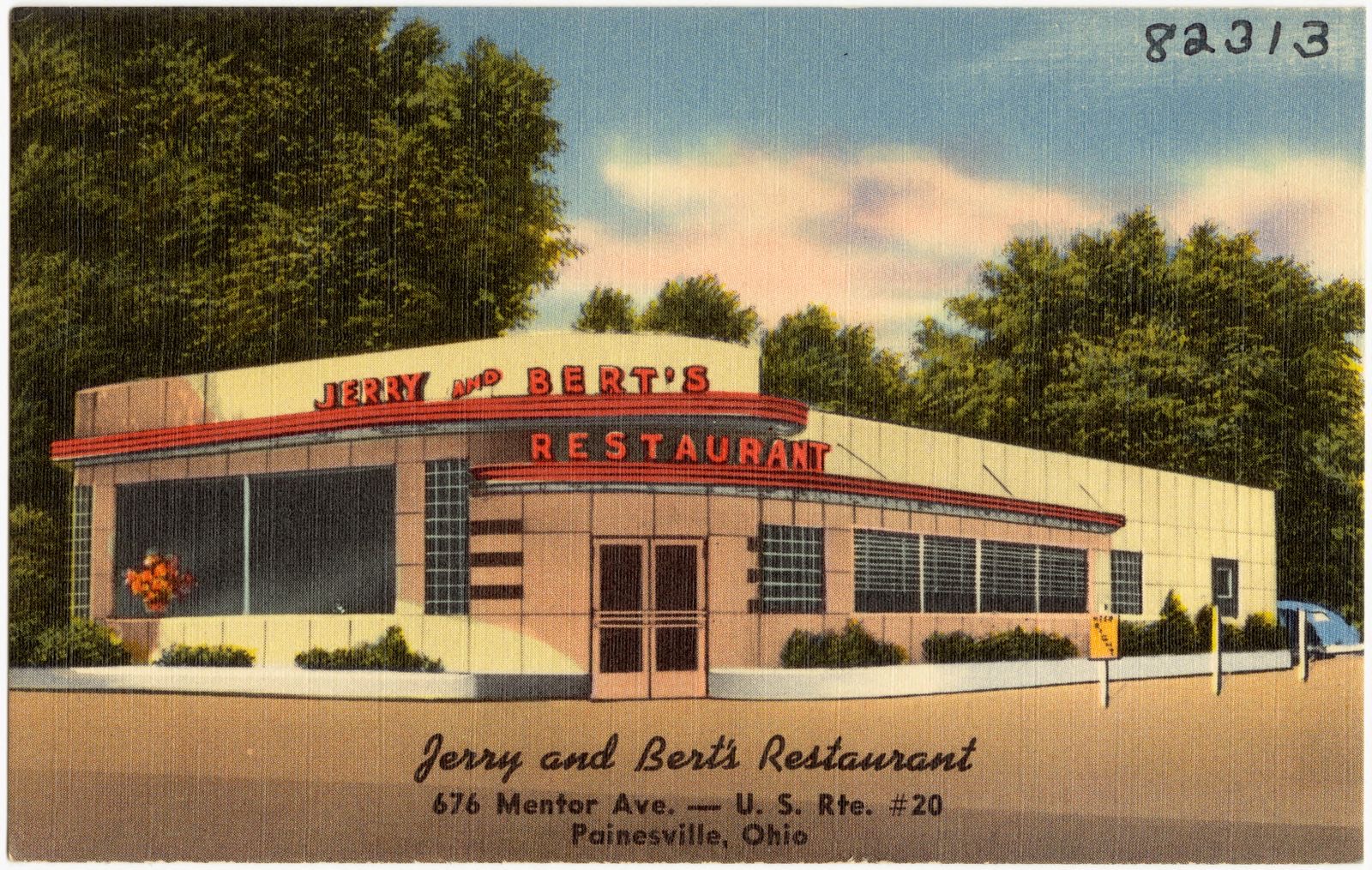
Jerry and Bert's Restaurant, 676 Mentor Ave. -- U.S. Rte. #20, Painesville, Ohio, Boston Public Library - undated
Jerry and Bert's Restaurant, 676 Mentor Ave. -- U.S. Rte. #20, Painesville, Ohio. Boston Public Library, via the Digital Public Library of America.
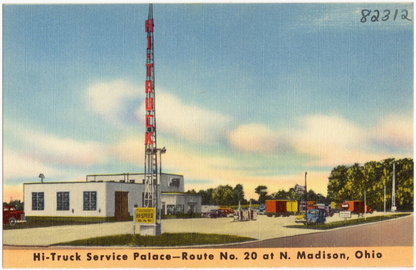
Hi-Truck Service Palace -- Route No. 20 at N. Madison, Ohio, Boston Public Library - undated
Hi-Truck Service Palace -- Route No. 20 at N. Madison, Ohio. Boston Public Library, via the Digital Public Library of America.
South Perry, [Ohio], Boston Public Library - undated
South Perry, [Ohio]. Boston Public Library, via the Digital Public Library of America.
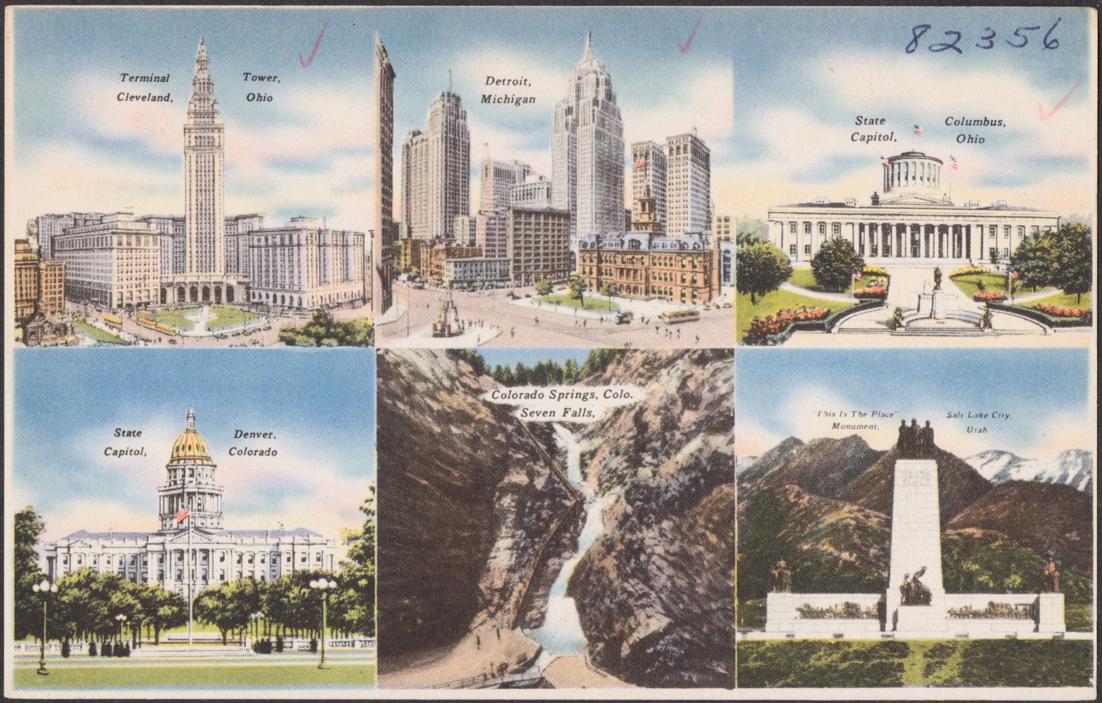
Terminal Tower, Cleveland, Ohio. Detroit, Michigan. State capitol, Columbus, Ohio. State capitol, Denver, Colorado. Colorado Springs, Colo. Seven Falls. "This is the Place" monument, Salt Lake City, Utah, Boston Public Library - undated
Terminal Tower, Cleveland, Ohio. Detroit, Michigan. State capitol, Columbus, Ohio. State capitol, Denver, Colorado. Colorado Springs, Colo. Seven Falls. "This is the Place" monument, Salt Lake City, Utah. Boston Public Library, via the Digital Public Library of America.

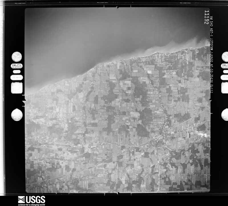
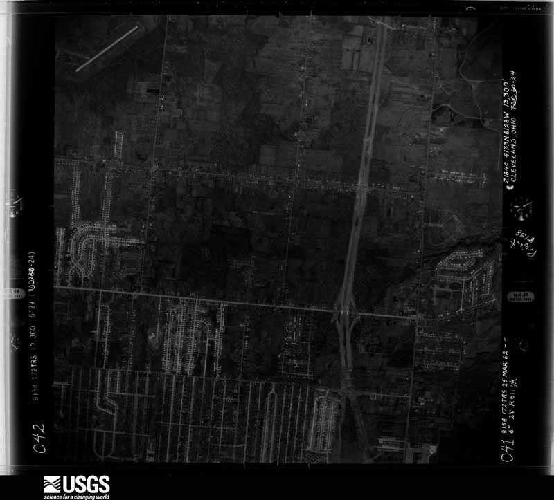
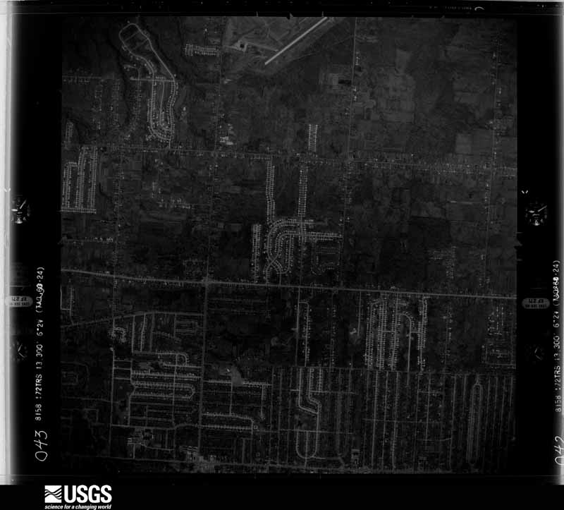
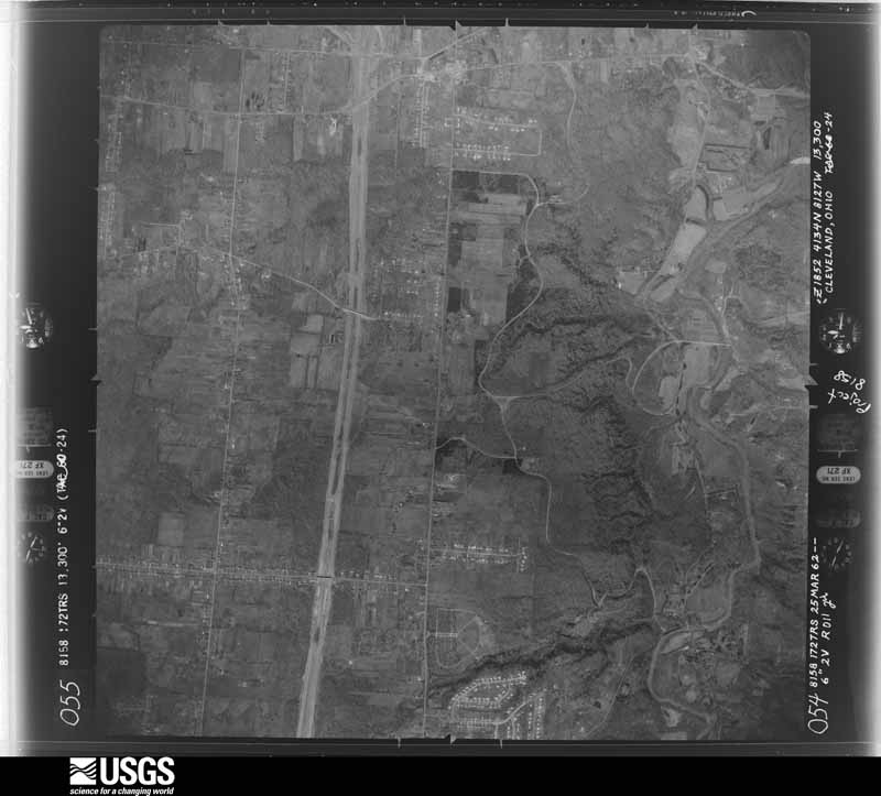
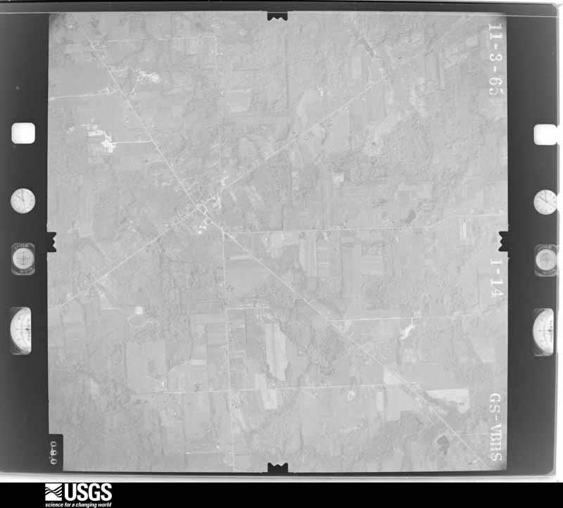
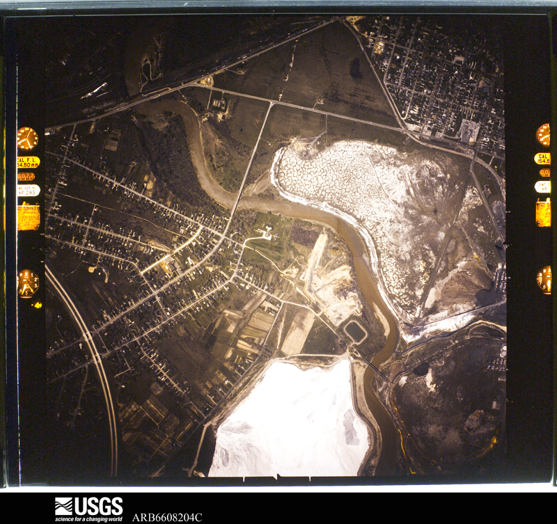
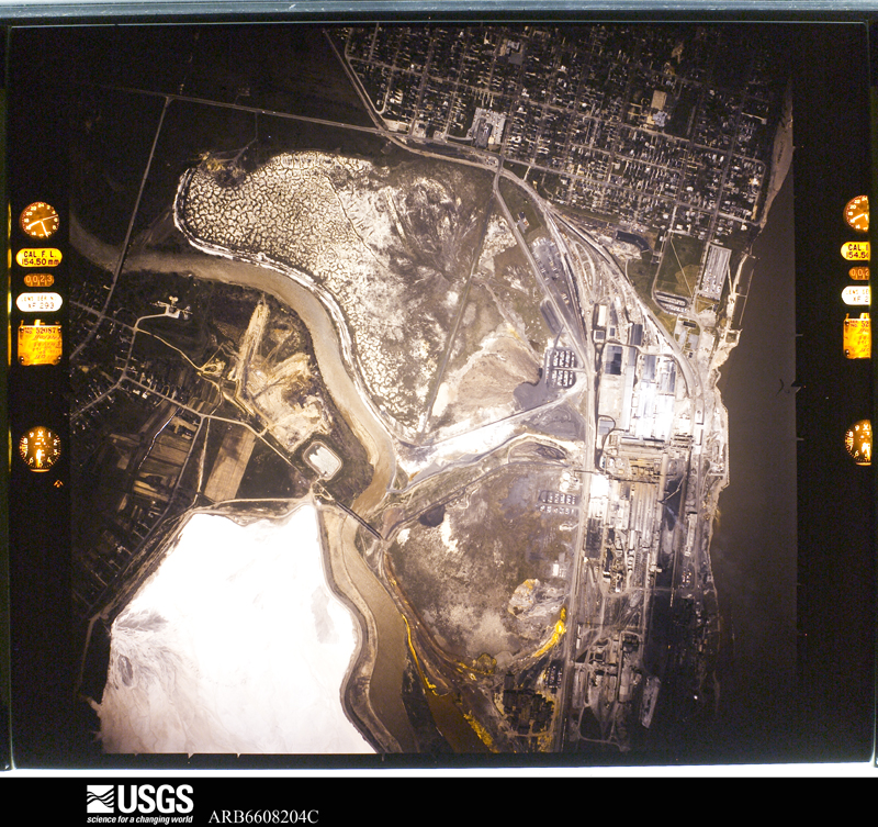
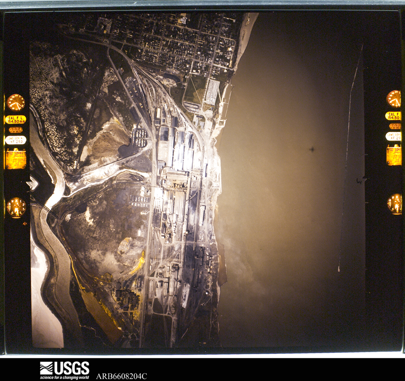
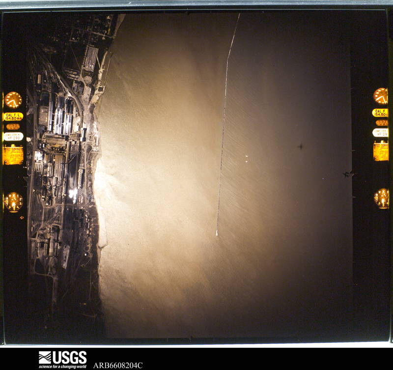
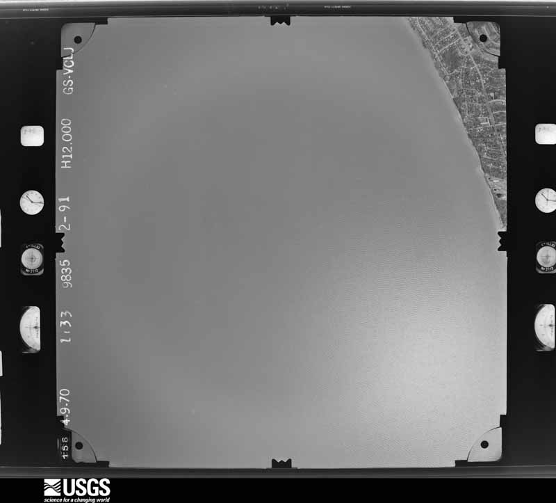
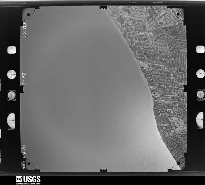
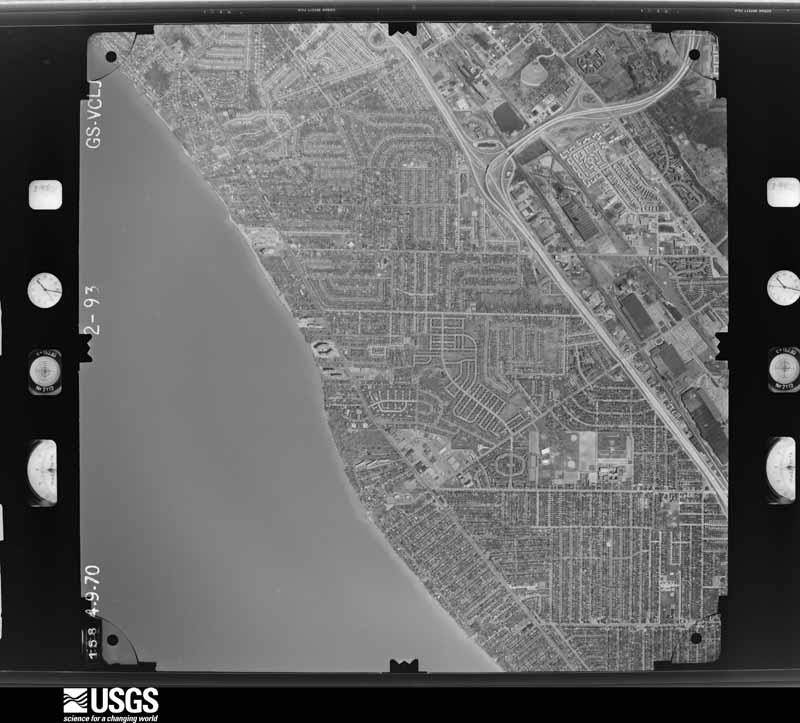
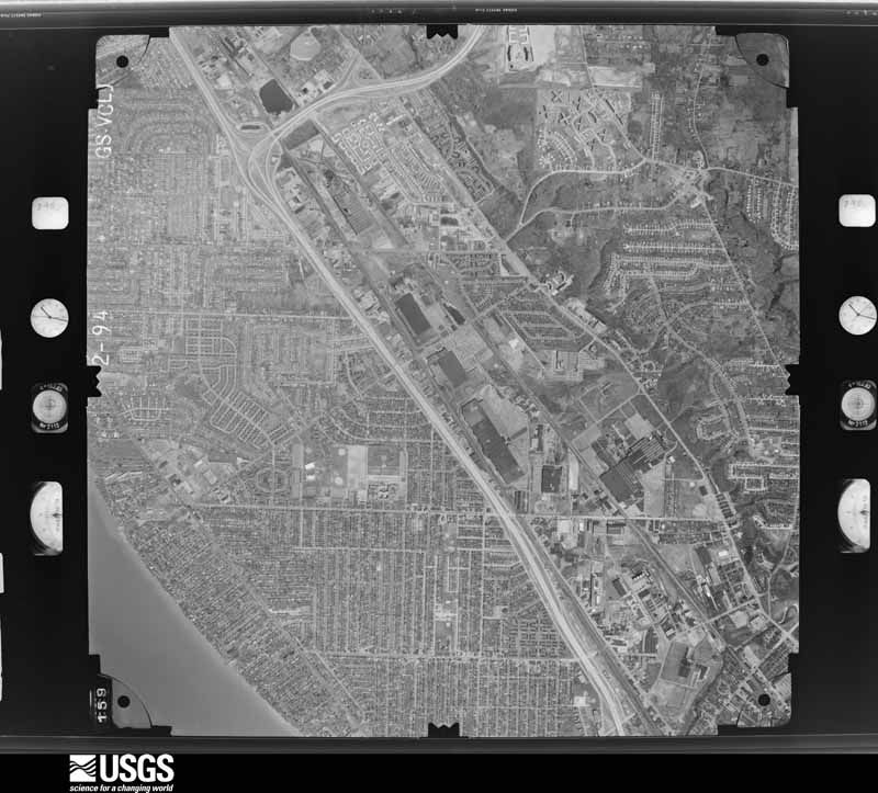
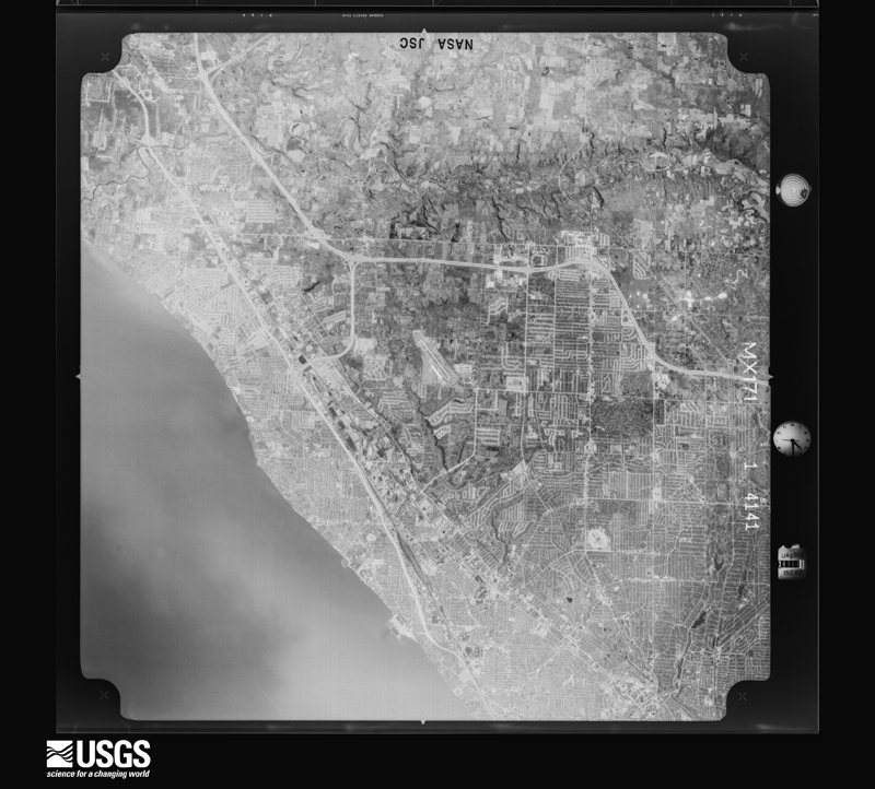
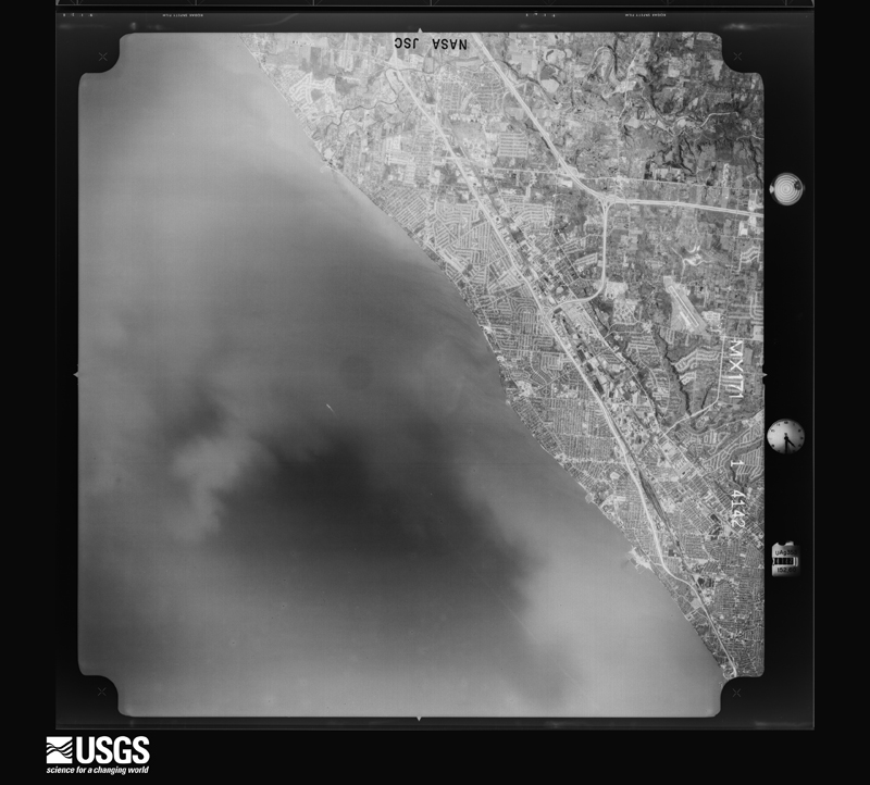
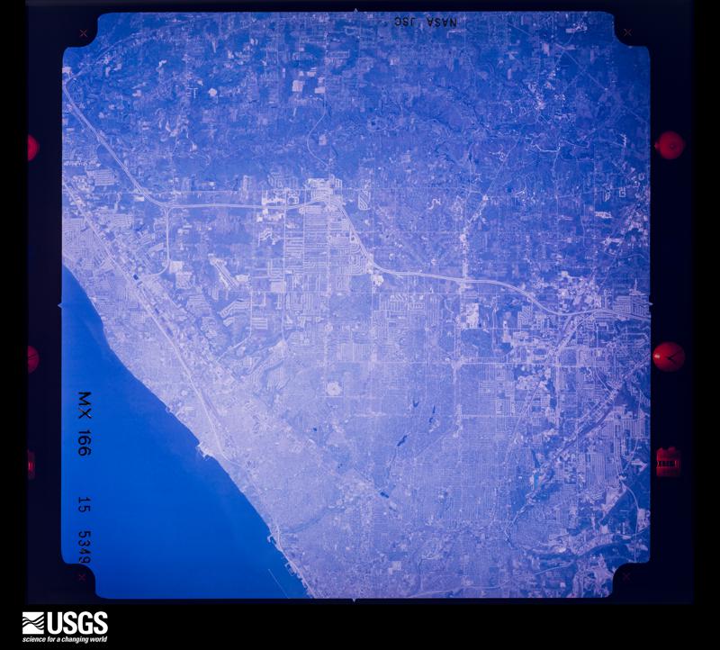
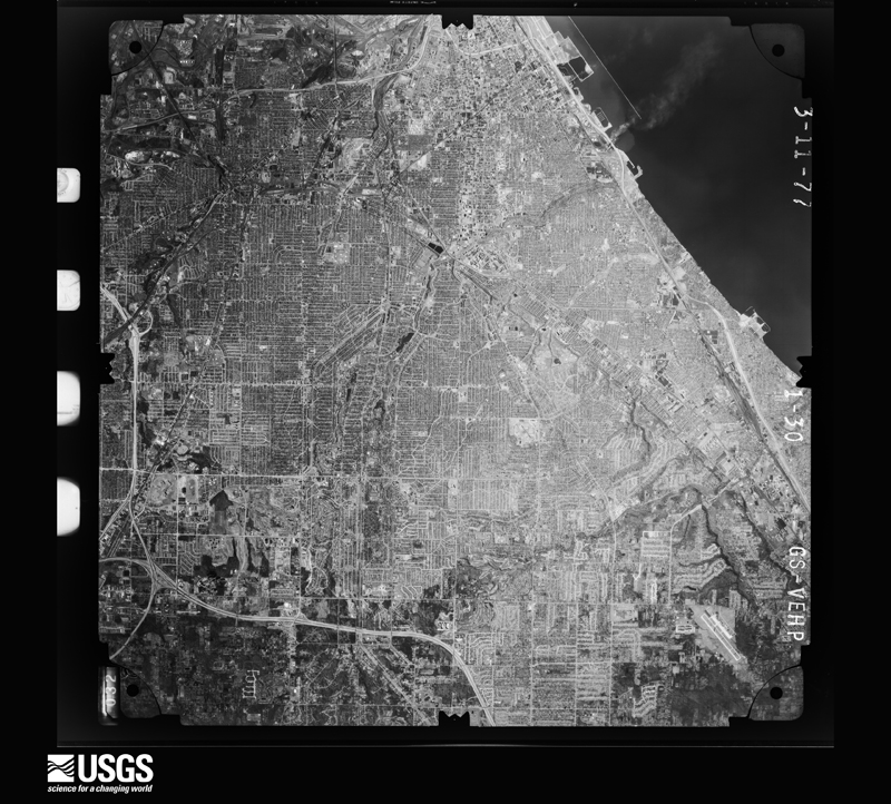
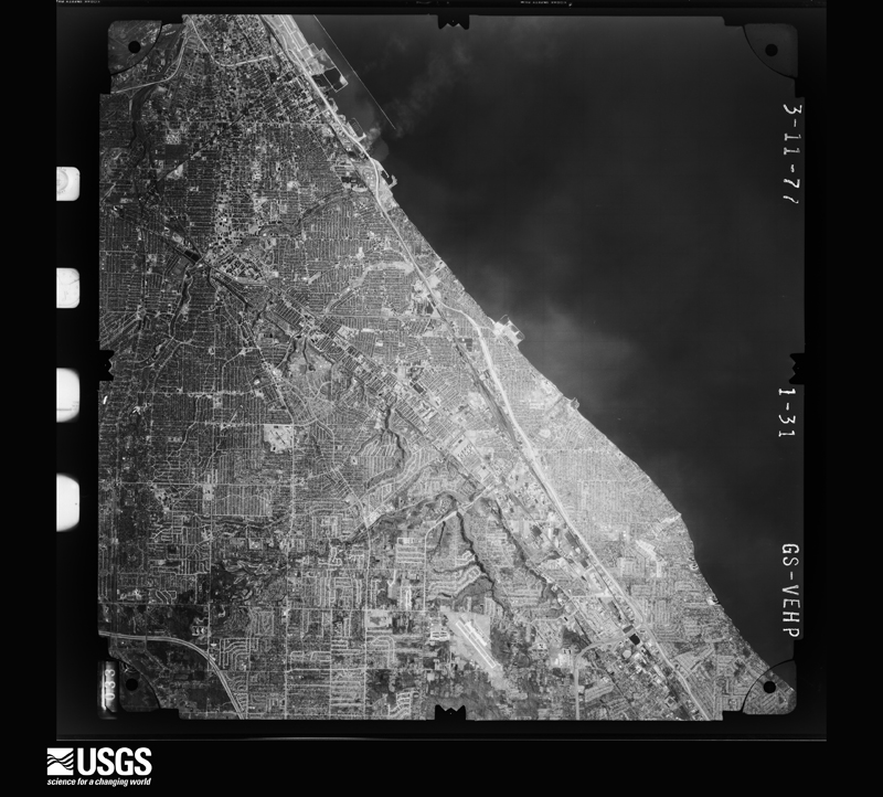
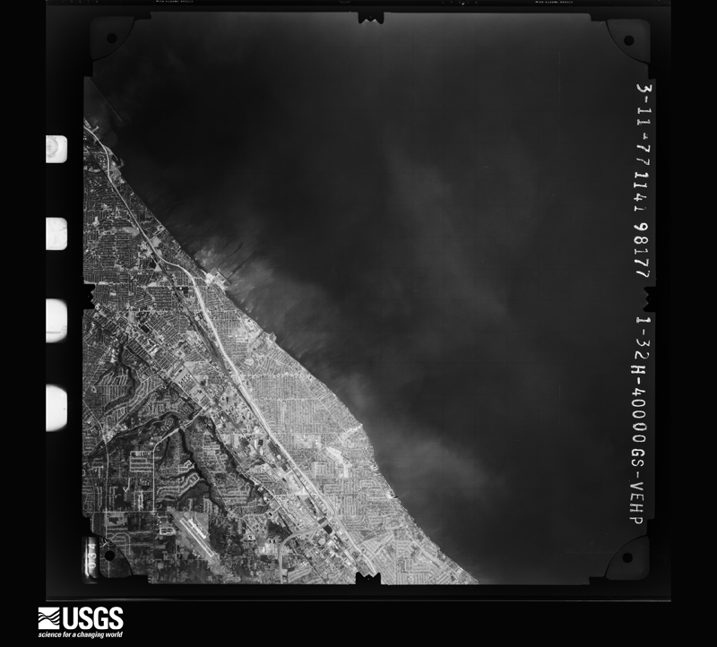
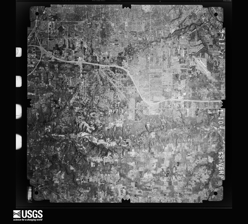
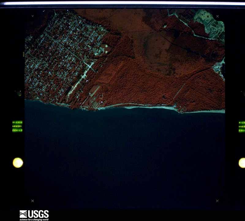
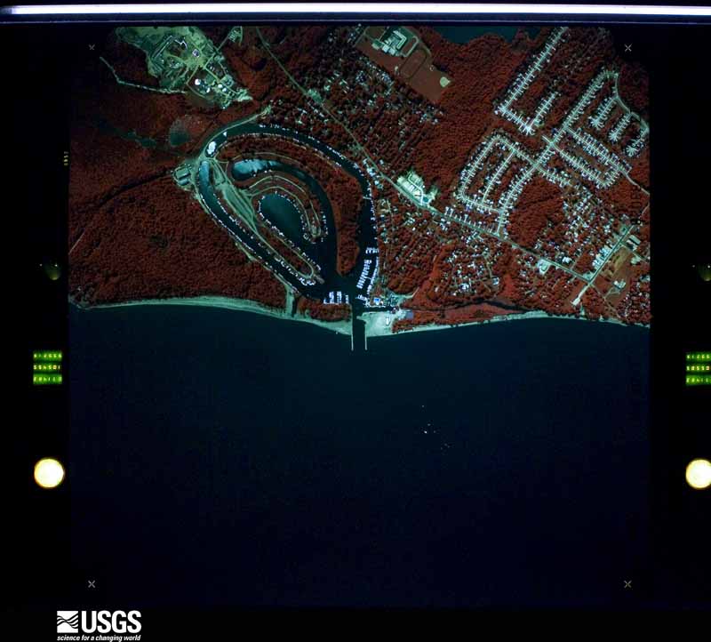
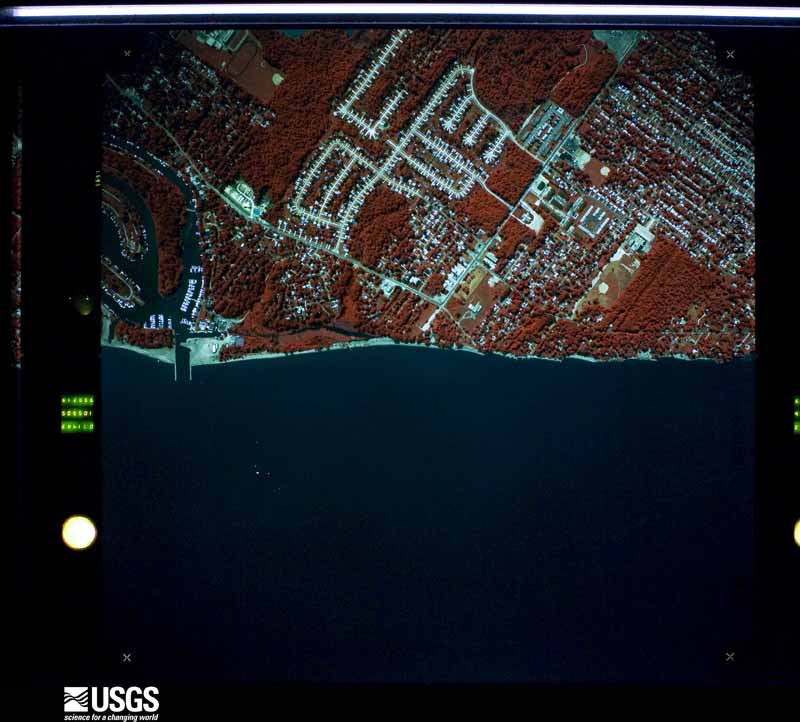
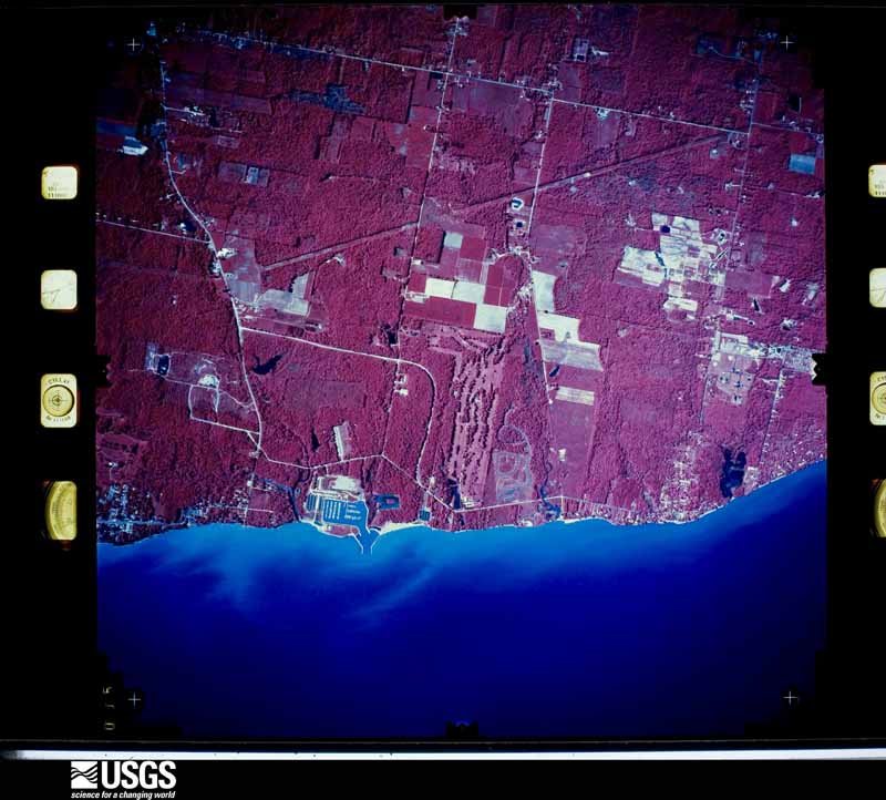
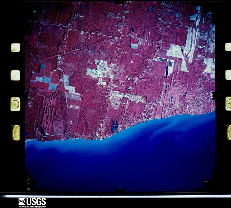
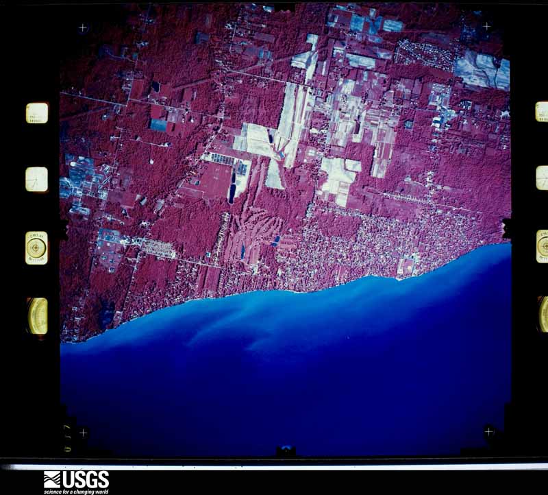
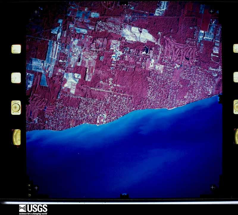
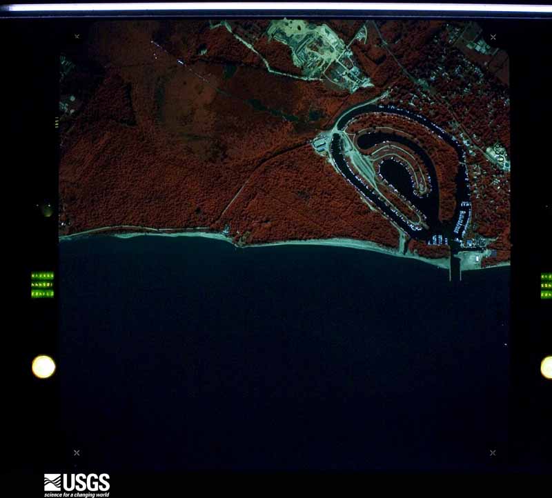
The county from the air

44 of 632 shown

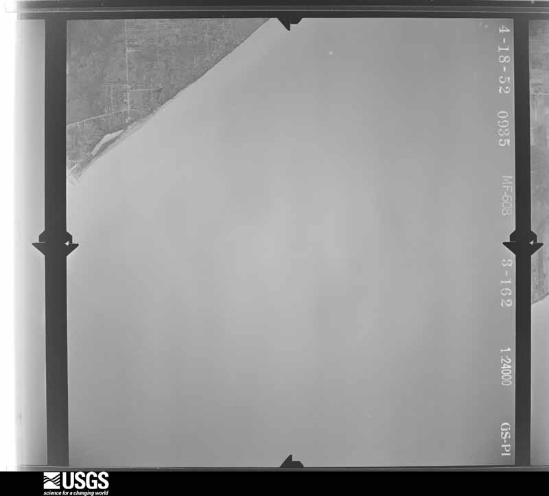
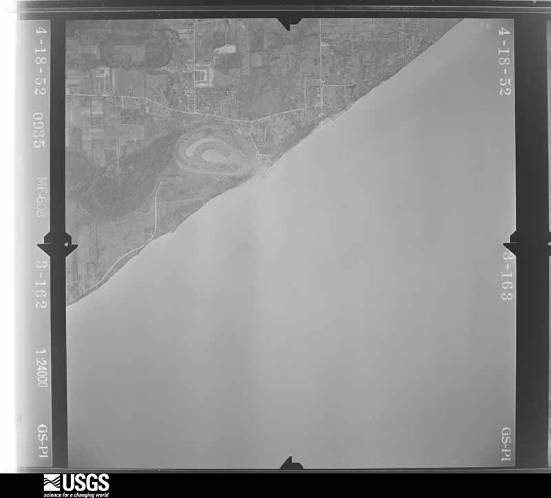
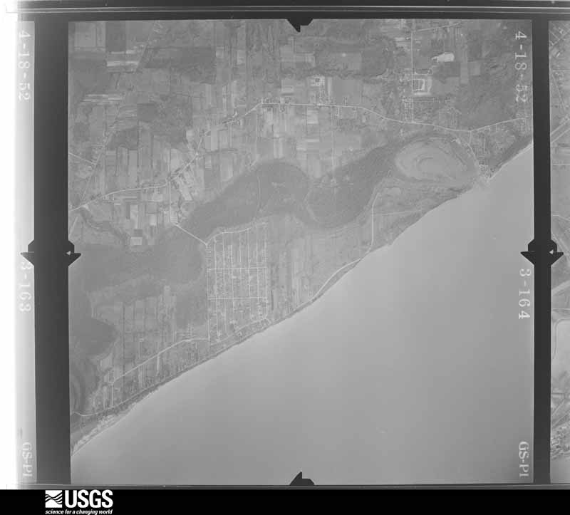
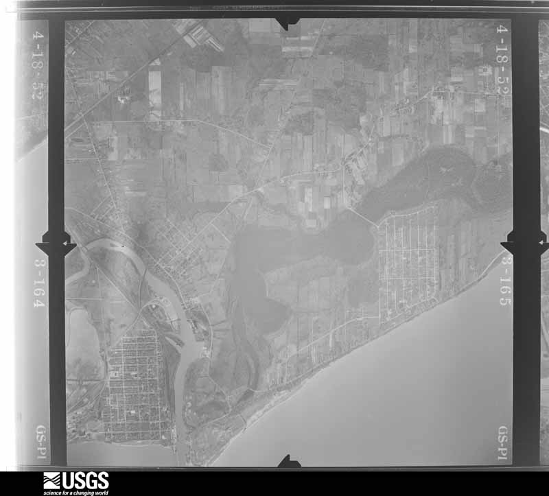
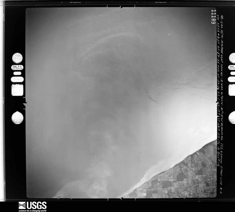
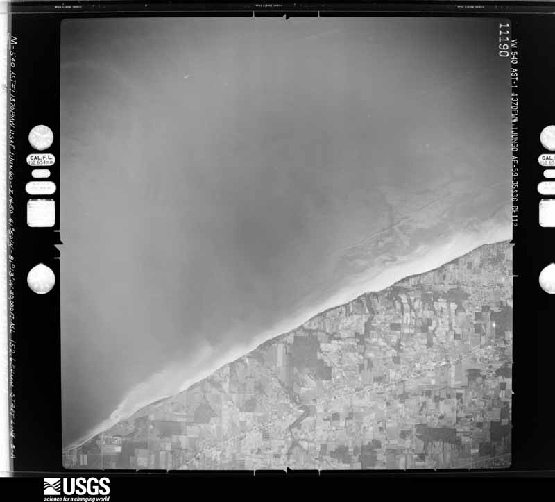
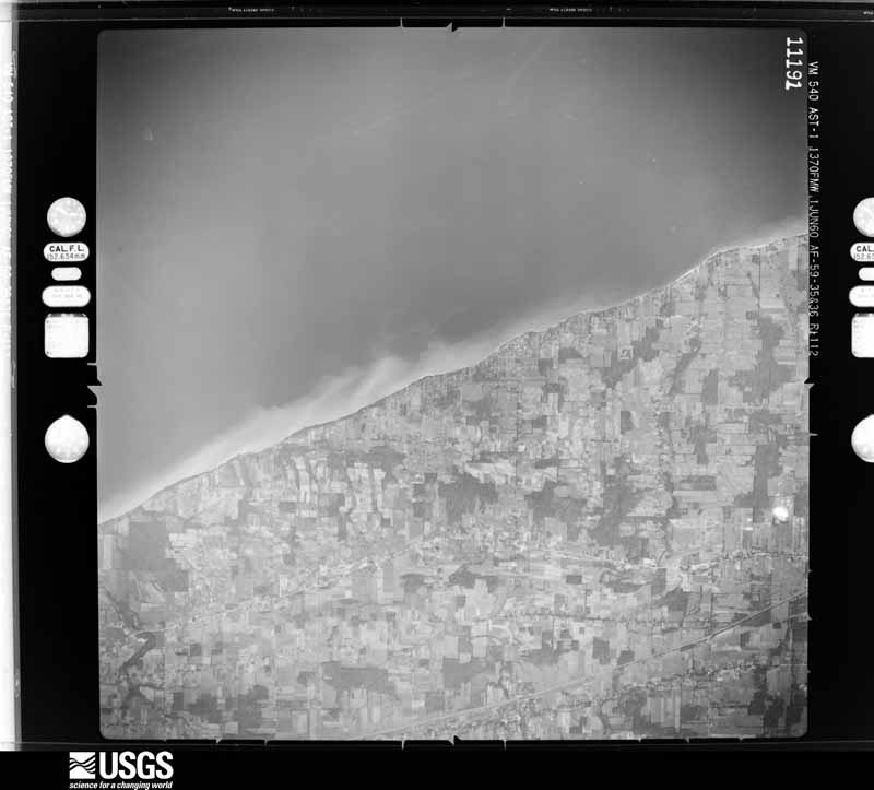
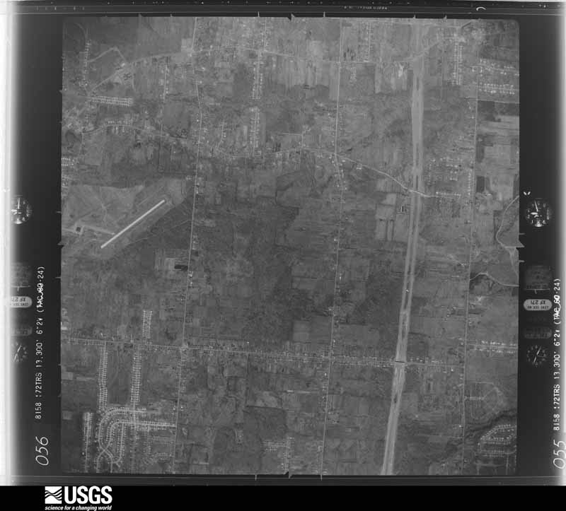
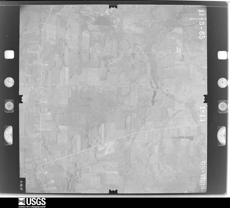
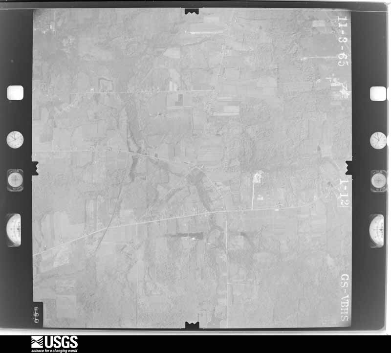
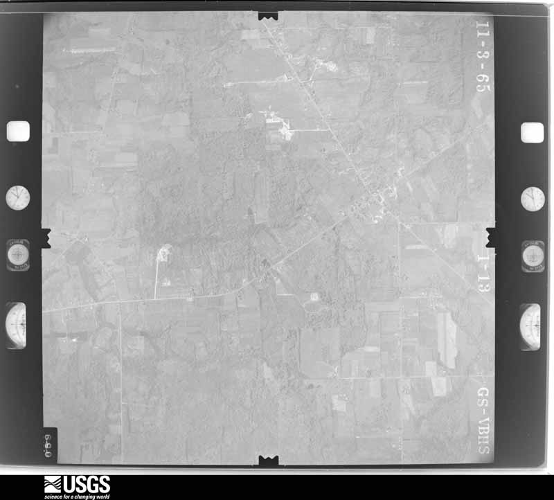
Flown by the U.S. Geological Survey between 1937 and 1989, the Aerial Photo Single Frames collection is the definitive mid-century view of the land: fields, roads and rivers as the camera saw them. 632 frames touch this county; the selection below spreads across the decades of flights (at most four per year), so one flight cannot crowd out the rest. The full set is free to browse and download at EarthExplorer under the dataset Aerial Photo Single Frames.

U.S. Geological Survey aerial photograph, 1952-04-01, scale 1:24000
1952-04-01, scale 1:24000. U.S. Geological Survey aerial photograph.
U.S. Geological Survey aerial photograph, 1952-04-01, scale 1:24000
1952-04-01, scale 1:24000. U.S. Geological Survey aerial photograph.
U.S. Geological Survey aerial photograph, 1952-04-01, scale 1:24000
1952-04-01, scale 1:24000. U.S. Geological Survey aerial photograph.
U.S. Geological Survey aerial photograph, 1952-04-01, scale 1:24000
1952-04-01, scale 1:24000. U.S. Geological Survey aerial photograph.
U.S. Geological Survey aerial photograph, 1960-06-01, scale 1:60000
1960-06-01, scale 1:60000. U.S. Geological Survey aerial photograph.
U.S. Geological Survey aerial photograph, 1960-06-01, scale 1:60000
1960-06-01, scale 1:60000. U.S. Geological Survey aerial photograph.
U.S. Geological Survey aerial photograph, 1960-06-01, scale 1:60000
1960-06-01, scale 1:60000. U.S. Geological Survey aerial photograph.
U.S. Geological Survey aerial photograph, 1960-06-01, scale 1:60000
1960-06-01, scale 1:60000. U.S. Geological Survey aerial photograph.
U.S. Geological Survey aerial photograph, 1962-03-25, scale 1:25176
1962-03-25, scale 1:25176. U.S. Geological Survey aerial photograph.
U.S. Geological Survey aerial photograph, 1962-03-25, scale 1:25176
1962-03-25, scale 1:25176. U.S. Geological Survey aerial photograph.
U.S. Geological Survey aerial photograph, 1962-03-25, scale 1:24988
1962-03-25, scale 1:24988. U.S. Geological Survey aerial photograph.
U.S. Geological Survey aerial photograph, 1962-03-25, scale 1:24988
1962-03-25, scale 1:24988. U.S. Geological Survey aerial photograph.
U.S. Geological Survey aerial photograph, 1965-11-03, scale 1:24000
1965-11-03, scale 1:24000. U.S. Geological Survey aerial photograph.
U.S. Geological Survey aerial photograph, 1965-11-03, scale 1:24000
1965-11-03, scale 1:24000. U.S. Geological Survey aerial photograph.
U.S. Geological Survey aerial photograph, 1965-11-03, scale 1:24000
1965-11-03, scale 1:24000. U.S. Geological Survey aerial photograph.
U.S. Geological Survey aerial photograph, 1965-11-03, scale 1:24000
1965-11-03, scale 1:24000. U.S. Geological Survey aerial photograph.
U.S. Geological Survey aerial photograph, 1966-05-05, scale 1:9625
1966-05-05, scale 1:9625. U.S. Geological Survey aerial photograph.
U.S. Geological Survey aerial photograph, 1966-05-05, scale 1:9625
1966-05-05, scale 1:9625. U.S. Geological Survey aerial photograph.
U.S. Geological Survey aerial photograph, 1966-05-05, scale 1:9625
1966-05-05, scale 1:9625. U.S. Geological Survey aerial photograph.
U.S. Geological Survey aerial photograph, 1966-05-05, scale 1:9625
1966-05-05, scale 1:9625. U.S. Geological Survey aerial photograph.
U.S. Geological Survey aerial photograph, 1970-04-26, scale 1:24000
1970-04-26, scale 1:24000. U.S. Geological Survey aerial photograph.
U.S. Geological Survey aerial photograph, 1970-04-26, scale 1:24000
1970-04-26, scale 1:24000. U.S. Geological Survey aerial photograph.
U.S. Geological Survey aerial photograph, 1970-04-26, scale 1:24000
1970-04-26, scale 1:24000. U.S. Geological Survey aerial photograph.
U.S. Geological Survey aerial photograph, 1970-04-26, scale 1:24000
1970-04-26, scale 1:24000. U.S. Geological Survey aerial photograph.
U.S. Geological Survey aerial photograph, 1971-04-16, scale 1:94727
1971-04-16, scale 1:94727. U.S. Geological Survey aerial photograph.
U.S. Geological Survey aerial photograph, 1971-04-16, scale 1:94727
1971-04-16, scale 1:94727. U.S. Geological Survey aerial photograph.
U.S. Geological Survey aerial photograph, 1971-04-16, scale 1:94727
1971-04-16, scale 1:94727. U.S. Geological Survey aerial photograph.
U.S. Geological Survey aerial photograph, 1971-05-17, scale 1:124120
1971-05-17, scale 1:124120. U.S. Geological Survey aerial photograph.
U.S. Geological Survey aerial photograph, 1972-04-05, scale 1:40000
1972-04-05, scale 1:40000. U.S. Geological Survey aerial photograph.
U.S. Geological Survey aerial photograph, 1972-04-05, scale 1:40000
1972-04-05, scale 1:40000. U.S. Geological Survey aerial photograph.
U.S. Geological Survey aerial photograph, 1972-04-05, scale 1:40000
1972-04-05, scale 1:40000. U.S. Geological Survey aerial photograph.
U.S. Geological Survey aerial photograph, 1972-04-05, scale 1:40000
1972-04-05, scale 1:40000. U.S. Geological Survey aerial photograph.
U.S. Geological Survey aerial photograph, 1977-03-11, scale 1:80000
1977-03-11, scale 1:80000. U.S. Geological Survey aerial photograph.
U.S. Geological Survey aerial photograph, 1977-03-11, scale 1:80000
1977-03-11, scale 1:80000. U.S. Geological Survey aerial photograph.
U.S. Geological Survey aerial photograph, 1977-03-11, scale 1:80000
1977-03-11, scale 1:80000. U.S. Geological Survey aerial photograph.
U.S. Geological Survey aerial photograph, 1977-03-11, scale 1:80000
1977-03-11, scale 1:80000. U.S. Geological Survey aerial photograph.
U.S. Geological Survey aerial photograph, 1983-07-13, scale 1:12842
1983-07-13, scale 1:12842. U.S. Geological Survey aerial photograph.
U.S. Geological Survey aerial photograph, 1983-07-13, scale 1:12842
1983-07-13, scale 1:12842. U.S. Geological Survey aerial photograph.
U.S. Geological Survey aerial photograph, 1983-07-13, scale 1:12842
1983-07-13, scale 1:12842. U.S. Geological Survey aerial photograph.
U.S. Geological Survey aerial photograph, 1983-07-13, scale 1:12842
1983-07-13, scale 1:12842. U.S. Geological Survey aerial photograph.
U.S. Geological Survey aerial photograph, 1994-06-08, scale 1:26500
1994-06-08, scale 1:26500. U.S. Geological Survey aerial photograph.
U.S. Geological Survey aerial photograph, 1994-06-08, scale 1:27000
1994-06-08, scale 1:27000. U.S. Geological Survey aerial photograph.
U.S. Geological Survey aerial photograph, 1994-06-08, scale 1:27000
1994-06-08, scale 1:27000. U.S. Geological Survey aerial photograph.
U.S. Geological Survey aerial photograph, 1994-06-08, scale 1:27000
1994-06-08, scale 1:27000. U.S. Geological Survey aerial photograph.

City directories

1 volume

The "who lived here, by year" answer: pre-1929 public-domain directory volumes naming the county's people, machine-read and searchable as text.

Weather records

26 stations, 12 gages

The thermometers that kept this county's weather, and the gages that watched its rivers, as the federal records hold them. The extremes below are measured values from those records, not estimates.

The 1950 census, district by district

99 districts

Who lived here in 1950, one enumeration district at a time, as the Census Bureau described each district. Each row opens its official National Archives result, with Population Schedules and ED Maps available there.

  • 43-1Concord township
  • 43-2Kirtland Hills village, comprising parts of Kirtland and Mentor townships: Kirtland Hills village - That part in Kirtland township
  • 43-3Kirtland Hills village - That part in Mentor township
  • 43-4Waite Hill village, comprising parts of Kirtland and Willoughby townships: Waite Hill village - That part (Tract LC - 6 - part) in Kirtland township
  • 43-5Waite Hill village - That part (Tract LC - 6 - part) in Willoughby township
  • 43-6Willoughby village, comprising parts of Kirtland, Mentor and Willoughby townships: Willoughby village - That part (Tract LC - 5 - part) in Kirtland township Bounded by Township line; Village limits; Township line
  • 43-7Willoughby village - That part (Tract LC - 5 - part) in Mentor township Bounded by Village limits; Village limits; Township line; Township line
  • 43-8Willoughby village - That part (Tract LC - 5 - part) in Willoughby township Bounded by Village limits; Village limits, Chagrin River; Stevens Blvd. extended, Stevens Blvd.; Village limits
  • 43-9Willoughby village - That part (Tract LC - 5 - part) in Willoughby township Bounded by Stevens Blvd., Stevens Blvd. extended; Chagrin River; Glenn Ave., Second, Second extended, New York Central and St. Louis Railroad, Village limits; Village limits
  • 43-10Willoughby village - That part (Tract LC - 5 - part) in Willoughby township Bounded by Village limits; Township line; Village limits; Chagrin River
  • 43-11Willoughby village -That part (Tract LC - 5 - part) in Willoughby township Bounded by New York Central and St. Louis Railroad, Second extended, Second, Glenn Ave.; Chagrin River; South extended, South, Center, Wright, Euclid Ave.; Village limits
  • 43-12Willoughby village - That part (Tract LC - 5 - part) in Willoughby township Bounded by Euclid Ave., Wright, Center, South, South extended; Chagrin River, Village limits; Village limits; Village limits
  • 43-13Kirtland township, outside Kirtland Hills, Waite Hill and Willoughby villages: Kirtland township - That part east of State Hwy. 306 outside Kirtland Hills village
  • 43-14Kirtland township - That part west of State Hwy. 306 outside Waite Hill and Willoughby villages (Remainder of Kirtland township is in Kirtland Hills, Waite Hill and Willoughby villages)
  • 43-15Leroy township
  • 43-16Madison township: Madison village
  • 43-17Madison - on - the - Lake, unincorporated Bounded by County line; Unnamed County Road (First road running parallel to Madison - Madison - on - the - Lake Rd. and also due east of it); Unnamed Rd., Madison - Madison - on - the - Lake Rd., Unnamed Rd.; Unnamed County Rd., Unnamed County Rd. extended
  • 43-18Madison township - That part north of New York Central Railroad and east of State Hwy. 166, outside Madison village and Madison - on - the - Lake, unincorporated (See separate map for boundaries of Madison - on - the - Lake)
  • 43-19Madison township - That part north of New York Central Railroad and west of State Hwy. 166, outside Madison village and Madison - on - the - Lake, unincorporated (See separate map for boundaries of Madison - on - the - Lake)
  • 43-20Madison township - That part south of New York Central Railroad, outside Madison village
  • 43-21Mentor township, outside Kirtland Hills and Willoughby villages: Mentor village: Mentor village - That part northwest of New York Central Railroad
  • 43-22Mentor village - That part southeast of New York Central Railroad and north of Johnny Cake Ridge Rd.
  • 43-23Mentor village - That part south of Johnny Cake Ridge Rd.
  • 43-24Mentor - on - the - Lake village: Mentor - on - the - Lake village - That part Bounded by Village limits; Village limits; Village limits; Beech Dr., Beech Dr. extended, Beech Dr., Beech Dr. extended
  • 43-25Mentor - on - the - Lake village - That part Bounded by Village limits; Beech Dr. extended, Beech Dr., Beech Dr. extended, Beech Dr.; Village limits; Village limits
  • 43-26AMentor township - That part Bounded by County line; Township line; New York Central and St. Louis Railroad; Mentor village limits, State Hwy. 615, Mentor - on - the - Lake village limits
  • 43-26BMentor township - That part Bounded by New York Central and St. Louis Railroad; Township line; Kirtland Hills village limits; Mentor village limits
  • 43-27Mentor township - That part Bounded by Mentor - on - the - Lake village limits State Hwy. 615, Mentor village limits; Township line; Willoughby village limits, Township line, Hodson Rd., Reynolds Rd.
  • 43-28Mentor township - That part Bounded by Mentor - on - the - Lake village limits; Reynolds Rd.; Hodson Rd.; Township line, Euclid - Painesville Rd., Seminole Dr., Seneca Trail, Erie Trail, Seminole Dr.
  • 43-29Mentor township - That part Bounded by Mentor - on - the - Lake village limits; Seminole Dr., Erie Trail, Seneca Trail, Seminole Dr.; Euclid - Painesville Rd.; Township line (Remainder of Mentor township is in Kirtland Hills and Willoughby villages)
  • 43-30Painesville township: Fairport village: Fairport village - That part Bounded by Village limits; Village limits; New 4th; Plum
  • 43-31Fairport village - That part Bounded by Village limits; Plum; New 4th, Eagle, 4th, 4th extended; Village limits
  • 43-32Fairport village - That part Bounded by 4th extended, 4th; High, Fairport Rd.; Village limits; Village limits
  • 43-33Fairport village - That part Bounded by 4th, Eagle, New 4th; Plum; 7th; High
  • 43-34Fairport village - That part Bounded by New 4th; Village limits; 6th; Plum
  • 43-35Fairport village - That part Bounded by 6th; Village limits; Fairport Rd.; East, 7th, Plum
  • 43-36Fairport village - That part Bounded by 7th; East; Orchard extended, Orchard; High
  • 43-37Fairport village - That part Bounded by Orchard, Orchard extended; East; Fairport Rd., High
  • 43-38Grand River village
  • 43-39Painesville city: Painesville city - That part of Ward 1 Bounded by City limits; City limits; City limits, Erie, Elm, State, State extended; City limits
  • 43-40Painesville city - That part of Ward 1 Bounded by State extended, State, Elm; Argonne Dr. extended, Argonne Dr.; State, Hine Ave., St. Clair; City limits
  • 43-41Painesville city - That part of Ward 1 Bounded by Elm; Elm; Storrs, Sanford; St. Clair, Hine Ave., State, Argonne Dr., Argonne Dr. extended
  • 43-42Painesville city - That part of Ward 1 Bounded by Sanford, Storrs; Elm, Erie, State; Main, Ward line, N. Park Pl.; Richmond, Erie, St. Clair
  • 43-43Painesville city - That part of Ward 1 Bounded by Erie; City limits, Grand River; Main; State, Erie
  • 43-44Painesville city - That part of Ward 2 Bounded by Grand River, City limits; City limits; Grand River; Grand River
  • 43-45Painesville city - That part of Ward 2 Bounded by Main, Grand River; City limits; Walnut Ave.; St. Clair
  • 43-46Painesville city - That part of Ward 2 Bounded by Walnut Ave.; City limits; City limits, Cumings Rd.; Hoyt
  • 43-47Painesville city - That part of Ward 2 Bounded by Washington; St. Clair; Walnut Ave., Hoyt, New York Central and St. Louis Railroad; Liberty
  • 43-48Painesville city - That part of Ward 2 Bounded by New York Central and St. Louis Railroad, Hoyt, Cumings Rd.; City limits; City limits; Liberty
  • 43-49Painesville city - That part of Ward 3 Bounded by City limits; Ward line, Baltimore and Ohio Railroad, New York Central Railroad, Ward line, Baltimore and Ohio Railroad; Mentor Ave., Hayes, Jackson, W. Eagel; City limits
  • 43-50Painesville city - That part of Ward 3 Bounded by Mentor, N. Liberty, N. Park Pl., Mard line, Main; St. Clair, Washington, Liberty; City limits, Baltimore and Ohio Railroad, Walnut Ave.; Mentor Ave.
  • 43-51Painesville city - That part of Ward 3 Bounded by Walnut Ave.; Baltimore and Ohio Railroad; City limits, New York Central and St. Louis Railroad, City limits; Mentor Ave.
  • 43-52Painesville city - That part of Ward 3 Bounded by W. Eagle, Jackson; Hayes; Mentor; Orchard, Jackson, Newell, City limits
  • 43-53Painesville city - That part of Ward 3 Bounded by City limits; Newell, Jackson, Orchard, Mentor Ave.; City limits; City limits
  • 43-54Painesville city - That part of Ward 3 Bounded by New York Central and St. Louis Railroad; City limits; City limits; City limits
  • 43-55Painesville city - That part of Ward 4 Bounded by St. Clair; Sanford; City limits
  • 43-56Painesville city - That part of Ward 4 Bounded by Sanford; St. Clair; Chester, Stage Ave.; Ward line, City limits
  • 43-57Painesville city - That part of Ward 4 Bounded by Stage Ave., Chester; St. Clair; Eagle, Railroad, Courtland, Prospect, Prospect extended; Ward line, New York Central Railroad, Baltimore and Ohio Railroad
  • 43-58Painesville city - That part of Ward 4 Bounded by Prospect, Courtland, Railroad, Eagle; St. Clair; Erie; Richmond
  • 43-59Painesville city - That part of Ward 4 Bounded by Jackson; Richmond, N. Liberty; Mentor Ave.; Jefferson
  • 43-60Painesville city - That part of Ward 4 Bounded by Prospect extended, Prospect; Richmond; Jackson, Jefferson, Mentor; Baltimore and Ohio Railroad, Ward line
  • 43-61Painesville township - That part Bounded by County line; Township line; U.S. Hwy. 20; Painesville city limits, Fairport village limits
  • 43-62Painesville township - That part Bounded by U.S. Hwy. 20; Township line; Township line; Painesville city limits
  • 43-63Painesville township - That part, including that small area north of Grand River village and west of Fairport village Bounded by Grand River village limits, Fairport village limits; Painesville city limits; Township line; Township line
  • 43-64Perry township: North Perry village
  • 43-65Perry village
  • 43-66Perry township - That part north of New York Central Railroad, outside North Perry and Perry villages
  • 43-67Perry township - That part south of New York Central Railroad, outside Perry village
  • 43-68AEastlake village - That part (Tract LC - 8 - part) Bounded by Euclid - Painesville Rd.; Former village limits; Reeves Rd., Lake Shore Blvd.; Euclid - Painesville Rd.
  • 43-68CEastlake village - That part (Tract LC - 8 - part) annexed to Eastlake village, consisting of area north of County Estate Subdivision
  • 43-68BEastlake village - That part (Tract LC - 8 - part) annexed to Eastlake village, consisting of the Reeve State located on Reeve Rd.
  • 43-69Eastlake village - That part (Tract LC - 8 - part) Bounded by Village limits; Village limits, Euclid - Panesville Rd.; Chagrin River; Chagrin River
  • 43-70Eastlake village - That part (Tract LC - 8 - part) Bounded by Village limits; Chagrin River; Euclid - Painesville Rd., Lake Shore Blvd.; Village limits
  • 43-71Eastlake village - That part (Tract LC - 8 - part) Bounded by Village limits, Lake Shore Blvd., Reeves Rd.; Village limits; Erie Rd., Roberts Rd.; Village limits
  • 43-72Eastlake village - That part (Tract LC - 8 - part) Bounded by Roberts Rd.; Erie Rd., Village limits; Village limits, Stevens Blvd.; Stevens Blvd., Return Ave.
  • 43-73Eastlake village - That part (Tract LC - 8 - part) Bounded by Village limits, Roberts Rd.; Return Ave., Willowick Dr., E. 334th (Waverly Rd.); Vine; Village limits
  • 43-74Eastlake village - That part (Tract LC - 8 - part) Bounded by Stevens Blvd.; Manley Ave.; Vine; E. 334th (Waverly Rd.), Willowick Dr., Return Ave.
  • 43-75Eastlake village - That part (Tract LC - 8 - part) Bounded by Stevens Blvd.; Village limits; Village limits; Beidler Rd., Vine, Manley Ave.
  • 43-76Eastlake village - That part (Tract LC - 8 - part) Bounded by Vine; Beidler Rd.; Village limits; Village limits
  • 43-77Lakeline village (Tract LC - 3)
  • 43-78Timberlake village (Tract LC - 7)
  • 43-79Wickliffe village: Wickliffe village - That part (Tract LC - 2 - part) Bounded by Village limits; Lakeland Blvd.; Village limits
  • 43-80Wickliffe village - That part (Tract LC - 2 - part) Bounded by Lakeland Blvd.; Village limits; Euclid Ave.; Village limits
  • 43-81AWickliffe village - That part (Tract LC - 2 - part) Bounded by Euclid Ave., Village limits; Old village limits, village limits; Ridge Rd.; E. 300
  • 43-81BWickliffe village - That part (Tract LC - 2 - part) Bounded by Village limits; Douglas Rd.; Harrison; Old village limits
  • 43-81CWickliffe village - That part (Tract LC - 2 - part) Bounded by Village limits; Village limits; Old village limits; Old village limits, Harrison, Douglas Rd.
  • 43-82Wickliffe village - That part (Tract LC - 2 - part) Bounded by Euclid Ave., E. 300, Ridge Rd.; Village limits; Village limits; E. 300, Buena Vista Dr., Rockefeller Rd.
  • 43-83Wickliffe village - That part (Tract LC - 2 - part) Bounded by Euclid Ave.; Rockefeller Rd., Buena Vista Dr., E. 300; Village limits; Village limits
  • 43-84Willowick village: Willowick village - That part (Tract LC - 1 - part) Bounded by Village limits; Willowick Dr.; E. 305, Lake Shore Blvd., Vine extended; Village limits
  • 43-85Willowick village - That part (Tract LC - 1 - part) Bounded by Village limits, Vine extended; Lake Shore Blvd., E. 288; Village limits; Village limits
  • 43-86Willowick village - That part (Tract LC - 1 - part) Bounded by Lake Shore Blvd.; E. 305; Village limits; E. 288
  • 43-87Willowick village - That part (Tract LC - 1 - part) Bounded by Willowick Dr.; Village limits; Village limits; Village limits, E. 305
  • 43-88Willoughby township - That part (Tract LC - 4 - part) Bounded by County line; Township line; Shawnee Dr., Garden Rd., Painesville Rd., Orchard, Plains, Lost Nation Rd., Beachview Dr., Westwood Dr., Beachview Dr., Painesville Rd.; Eastlake village limits
  • 43-89Willoughby township - That part (Tract LC - 4 - part) Bounded by Painesville Rd., Beachview Dr., Westwood Dr., Beachview Dr., Lost Nation Rd., Plains, Orchard, Painesville Rd., Garden Rd., Shawnee Dr.; Township line; Willoughby village limits; Eastlake village limits
  • 43-90Willoughby township - That part (Tract LC - 4 - part) Bounded by Willoughby village limits; Township line; Waite Hill village limits
  • 43-91Willoughby township - That part (Tract LC - 4 - part) Bounded by Willoughby village limits; Waite Hill village limits; Willoughby village limits
  • 43-92Willoughby township - That part (Tract LC - 4 - part) Bounded by Eastlake village limits; East Property line of Golf Course; Euclid Ave.; Airport Property line and including that small area northeast of Erie Rd. between the corporate limits of Eastlake and Willoughby villages
  • 43-93Willoughby township - That part (Tract LC - 4 - part) Bounded by Eastlake village limits, Airport property line, Euclid Ave., East property line of Golf Course, Eastlake village limits; Willoughby village limits, Waite Hill village limits, Township line; County line; County line, Wickliffe village limits, Willowick village limits
  • 43-94N/A

Businesses named in the atlases

62 businesses

Every Sanborn volume opens with a printed index naming the town's mills, tanneries, hotels and works by proprietor. Those indexes were read off the scanned sheets by machine and then matched to each other, so a business surveyed four times appears here once, with the years it survived. 12 of these 62 were named in more than one atlas. Each carries a crop of the line it was read from: the spelling is the recogniser's and the 1880s lithographer's, and the scan behind it is the proof.

Wildfire, 2002 to 2020

4 fires

Every wildfire the federal occurrence database records inside this county: 4 of them, burning about 421 acres. 0 started naturally and 1 were recorded as arson. Each settlement page carries the fires within five miles of it.

Reported cause Fires
Missing data/not specified/undetermined2
Debris and open burning1
Arson/incendiarism1

The five largest, by the area the report gives. One of them was set deliberately.

DateCause SizeReported by Name on the report
28 April 2003Missing data/not specified/undetermined400 acresOhio Department of Natural ResourcesMENTOR
5 September 2002Missing data/not specified/undetermined20 acresOhio State Fire Marshal's Officenot named
3 May 2020Debris and open burning1.0 acresOhio Department of Natural Resources15714
11 June 2002Arson/incendiarismunder an acreOhio State Fire Marshal's Officenot named

Every settlement page carries the fires within five miles of it - see the settlement index below.

Storms, 1960 to 2026

60 of 387 shown

The NOAA Storm Events Database holds 387 reports for this county, causing 1 death, 90 injuries and about $358,446,505 in recorded property damage. Each settlement page carries the reports that name it.

Kind of event Reports
Thunderstorm Wind226
Hail98
Flash Flood26
Flood14
Waterspout13
Tornado5
Heavy Rain2
Winter Weather1
Lightning1
High Wind1

The most serious of them, by death, then injury, then recorded damage. The accounts are quoted exactly as the forecast office filed them.

WhenEvent Place namedHarm What the report says
July 2006Flash FloodCountywide1 killed, $320,000,000After a brief lull, heavy thunderstorm rains resumed just after midnight and devastating flash flood quickly developed. As much as three inches of rain fell between 12:30 and 2:30 a.m. By daybreak on the 28th, as much of 10 inches of rain had fallen on portions of Lake County since the first thunderstorms developed during the afternoon hours of the 27th. Rainfall totals included: 9.70 inches in Mentor; 7.95 inches in Concord; 6.89 inches in Kirtland; 6.30 inches just south of Painesville and 5.50 inches in Madison. Nearly every community in Lake County was hard hit by flooding. A 51 year old man disappeared around 2 a.m. while trying to move vehicles from flood waters at an Eastlake marina. He was later found deceased along a beach in Mentor. Thousands of homes were damaged and hundreds of people had to be evacuated. Widespread evacuations began in Painesville and Madison between 3 and 4 a.m. In Painesville, the Grand River rose from a stage of 2 feet on the morning of the 27th to 17.36 feet around 5 a.m. on the 28th establishing a new record stage. The old record stage was 13.1 feet set in 1979. Damage along the river was catastrophic and homes along Main Street, Millstone Drive, Gristmill Drive, Steele Avenue and Grand River Avenue were devastated. A total of 81 homes were destroyed on these streets with dozens more heavily damaged. Around 600 people had to evacuated from homes along the Grand River and approximately 25 people had to be rescued by boat from rooftops after flood waters climbed into the second floors of their homes. Several other people had to be rescued by helicopter because the flood waters were flowing too fast to allow boat rescues. In Madison Township, around 1200 people were evacuated from a mobile home park as flood waters began to encroach their neighborhhod. Dozens of homes and business in the area sustained damaged, much of it caused by flooding from the Grand River. State Route 84 was washed out by a creek near the Perry and Madison Township border. Up to 70 boats and large sections of piers were torn loose along the Grand River and washed into Lake Erie. Many of these boats were later deposited on beaches between Fairport Harbor and Madison. A floating restaurant near the mouth of the Grand River broke free during the flooding and sustained considerable damage. Homes along the mouth of the river in Fairport Harbor were littered with debris from damaged homes and businesses upstream. The Chagrin River in Eastlake rose from a stage around 4 feet on the morning of July 27th to 14.77 feet at 4:30 a.m on the 28th. Widespread damage was reported in both Eastlake and Willoughby from the resulting flooding. Significant damage was also reported in portions of Mentor, Kirtland and Concord Township. During this event emergency personnel conducted 41 separate resuce operations involving around 200 people. Around 3,600 families in Lake County applied for flood assistance. Approximately 100 homes were destroyed in the county with another 800 significantly damaged. Almost all of these homes were in Painesville, Eastlake, Madison, Fairport Harbor or Concord Township. Nearly 200 business were affected by flooding. Five bridges were destroyed by flooding and at least eight roads were washed out. Several bridges and many other roads were also damaged. Two sewer plants sustained significant damage. Damage to roads, bridges and other public infrastructure has been conservatively estimated to be around $15 million. Damage in Lake County during this event was unprecedented. The flooding has been tentatively classified as a 500 year event.
January 1998Winter WeatherCountywide45 hurtno account filed
July 1969Tornado (F2)not stated40 hurt, $250,000no account filed
June 2024Thunderstorm WindMadison North3 hurt, $50,000Large tree downed onto ranch house, caused significant structural damage, and injured three occupants along the 1300 block of Erieview Drive in North Madison.
November 2020Thunderstorm WindMentor2 hurtLarge tree down in Mentor. Another tree fell on a car in Painesville and caused two injuries.
July 2006Flash FloodCountywide$20,000,000Heavy thunderstorm rains fell on Lake County during the afternoon and evening hours of July 27th. Rainfall rates at times were in excess of three inches per hour. Rainfall totals through 10 p.m. ranged from 4 to 7 inches over much of the county. Runoff from this heavy rain caused widespread flooding and rapid rises in area streams and rivers. The Painesville area was especially hard hit by flooding. Street flooding began shortly after the rain did. By late afternoon roads throughout Lake County were under water. Over 120 children had to be evacuated from a day care center in Mentor around 4 p.m. after flood waters began to creep into the building. Nearly 3.5 inches of rain fell in Painesville by 4:30 p.m, and 6.5 inches fell in Mentor by 9 p.m. The flooding continued to gradually worsen during the evening hours. Water on some streets was as much as four feet deep and there were hundreds of reports of basement flooding. A fire station in Willoughby Hills also sustained damage from flooding. The rain lessened during the late evening hours and this briefly allowed conditions to improve.
July 2013Flash FloodMadison North$7,000,000During the early morning hours of the 20th, specifically between 230 am and 530 am, torrential rain fell over extreme northeast Cuyahoga County and most of Lake County. The showers were enhanced by the warm and moist air over Lake Erie, and subsequently produced rainfall rates that exceeded the storm drainage systems in any populated communities affected. Rainfall reports ranged from 3.44 in Madison to 6 inches in Fairport Harbor. In Kirtland, an observer measured 2.20 inches between 3 am and 5 am. The rain came after two previous weeks of wet weather which had raised the water table and saturated the ground. The rainfall produced flooding in over 500 basements with the majority being sanitary sewer backups. One basement's wall caved in causing structural damage to the house. Overall 13 properties in Mentor were classified as having suffered major structural damage. The most damage was reported in western Lake between Mentor and Wickliffe. In Kirtland Hills the Baldwin Road sustained structural damage from washout. In Concord 50 homes were flooded and were not due to sewer backups. In Cuyahoga County, Euclid was one of the highly affected areas, with more than 5 inches of rain falling in a short amount of time. That left some residents with anywhere from several inches to several feet of water in their homes. The wastewater treatment plant was under 20 feet of water and much of the equipment needed to be replaced. In all over 3,500 properties sustained some form of flood inundation.
August 1994Thunderstorm Windnot stated$5,000,000no account filed
October 2000Thunderstorm WindCountywide$500,000A 77 mph thunderstorm wind gust was measured at the Fairport Harbor Light House. Dozens of trees were downed across the county by thunderstorm winds. Areas near Lake Erie were especially hard hit with considerable damage in Mentor and Madison. Several homes were damaged and two cars crushed by trees in Mentor. Also hard hit was Painesville where a car was destroyed by a fallen tree. Trees were also downed in Willoughby and Perry.
April 1996Thunderstorm WindCountywide$400,000no account filed
July 2003Thunderstorm WindPainesville$300,000A thunderstorm downburst downed dozens of trees and damaged several homes. The damage path began near Liberty Street in Painesville and continued east along Prouty Road to near State Route 44 in Concord. A mobile home was crushed by a fallen tree in Concord.
May 2014Flash FloodMadison Woodworth Ar$250,000On the evening of May 21st heavy rain measured at 2.5 inches between 930 pm and 11 pm caused widespread flash flooding in the town of Madison. A tributary to the Arcola Creek which runs through downtown Madison came out of it's banks and flooded Main Street and Safford Street with water flowing higher than the fire hydrants at an estimated four feet deep. The hardest hit areas were in the east of town where numerous basements flooded. Numerous roads in town were closed due to backed up storm drainage. The flood waters receded around 2 am.
June 2013HailWilloughby$250,000Hail as big as ping pong balls was reported for several minutes. Many vehicles were damaged by the hail.
August 2023Tornado (EF1)Kirtland$200,000A tornado with estimated peak winds of 110 mph impacted Mentor. The tornado began just west of Dartmoor Road near Mentor Avenue, where large trees were downed. Numerous additional trees were downed as the tornado tracked generally eastward. Multiple homes along Stockridge Road and Middlesex Road sustained damage (e.g. roof and siding damage) from downed trees. Extensive tree damage also occurred at the Great Lakes Mall property before the tornado shifted east-northeastward and damaged additional trees and power lines near the intersection of Johnnycake Ridge Road and Fairview Avenue. Tree damage also occurred in Wildwood Park before the tornado ended along Chillicothe Road, just south of Donald E. Kruger Park.
February 2011FloodFairport Harbor$200,000Heavy rain and rapid snow melt led to a rapid rise in the Grand River at Painesville, which reached moderate flood stage with a crest of 13.29 feet. Rainfall reports across the basin ranged from 1.6 to 2.2 which fell mainly during the early morning hours of February 28th. Six to ten inches of heavy snow was on the ground at the onset of the rain. This snow rapidly melted as temperatures warmed into the 50s on the 28th. Up to an additional inch of water equivalent rainfall was released from the melted snow. Over 100 homes in and around Painesville had to be evacuated because of the rising flood waters. In Fairport Harbor several homes near the Grand River had flooded basements. Numerous roads across the county were flooded.
July 2006Flash FloodCountywide$200,000Heavy thunderstorm rains fell on Lake County during the morning hours of July 22nd. Two to three inches of rain fell on portions of the county causing a lot of street flooding. Several roads were closed after fast flowing water was observed on them. Although there were no reports of structural damage, several homes did experience basement flooding.
September 1999Thunderstorm WindMadison$200,000Several dozens trees downed. Seven homes suffered minor roof and structural damage from fallen trees. An additional home suffered major structural damage when a twelve ton tree fell on the roof of an upstairs bedroom. The roof over the bedroom was destroyed and one of the exterior walls was split by the tree. The split in the wall allowed heavy thunderstorms rains to spill into the ground level of the house causing significant water damage. The remaining walls of the home were bowed by the weight of the tree. Two barns and seven cars were also damaged by fallen trees.
July 1995Thunderstorm WindCountywide$200,000no account filed
November 2014High Windnot stated$150,000High winds of at least 60 mph downed trees and limbs throughout Lake County. Scattered power outages were reported.
June 2013Thunderstorm WindWilloughby$150,000Thunderstorm winds in excess of 60 mph downed dozens of trees and caused widespread power outage. In excess of 3,000 utility customers lost power during this event.
August 2011HailMentor$150,000Penny to hen egg sized hail was observed for several minutes in Mentor. Much of the hail was golf ball sized or larger. This resulted in many vehicles being damaged.
January 2007FloodWilloughby$150,000Runoff from heavy rains on January 5th caused the Chagrin River in Willoughby to go above the flood stage of 11 feet during the evening hours of January 5th. The river crested at 13.04 feet around midnight on the 6th and fell back below flood stage around 9 a.m. on the 6th. Flooding occurred along the northern sections of Trailard, Milann and Chagrin Drives in Willoughby Hills. Several homes on these streets sustained damage from flooding.
July 1999Thunderstorm WindPainesville$150,000Many large trees downed in Painesville. One tree pierced the roof of a nursing home with branches ending up less than a foot away from an elderly woman laying in bed. Three classic cars were severely damaged when the garage they were in was destroyed by a fallen tree. A brand new sport utility vehicle was also destroyed by a fallen tree. An additional dozen trees were downed to the east of Painesville in North Perry.
March 2015Flood(Lnn)Willoughby Arpt$125,000The ice jam in Willoughby Hills broke during the early morning hours of the 14th. The water and ice came up fast in the West Island Drive community of Eastlake around 6 am. Around a dozen homes were evacuated. The damages were limited to docks and some low lying basements and garages. The community of Eastlake is especially vulnerable to ice jam flooding because they are at the confluence of the river and Lake Erie. Ice cutters were unable to move any ice at the mouth of the Chagrin River in Eastlake, which contributed to the severity of the ice jams. Despite the lake being ice covered, the river was able to recede by early afternoon on the 14th.
May 2011Thunderstorm WindEast Lake$125,000Thunderstorm winds caused damage across Lake County. A couple buildings sustained damage in East Lake. Roads had to be closed because of fallen trees in Lake Township, Madison Township and also in the city of Mentor. Numerous other trees were reported down across the county.
May 2004Thunderstorm WindCountywide$125,000A line of severe thunderstorms moved across Lake County and downed dozens of trees. Scattered power outages were also reported. Several homes and vehicles were damaged by fallen trees and flying debris.
June 2015Thunderstorm WindLake Line$120,000The Eastlake Fire Department reported 32 large trees down across the city|Several of these trees caused damage to homes and vehicles. Most trees were snapped above the base. Numerous power lines were also brought down.
August 2023Flash FloodWilloughby$100,000Widespread road closures due to flash flooding in Willoughby, Eastlake, and Willowick. Multiple water rescues conducted due to vehicles driving into flooded roadways. Road closures in this area included US-2 near Stevens Boulevard, Vine Street just east of US-2, Riverside Boulevard and Riverside Drive, and Lake Shore Boulevard near Vine Street. Radar estimated 2.25 to 3 inches of rainfall in a three to four hour period, with 1 to 1.5 inches of rain falling in the hour immediately preceding the flash flooding.
March 2015FloodWaite Hill$100,000During the overnight hours of the 12th an ice jam developed on the Chagrin River in Willoughby Hills Ohio. The ice backed up in the southern loop of the Chagrin River just west of the Trailard Drive community. The streets were first overtopped in southwest corner and north east of the Horseshoe Glen subdivision (Trailard Dr.). About 20 people were voluntarily evacuated after the water levels doubled, rising to 15 feet. This is the worst it's been since 1977-78, Chris Donovan, a longtime resident who lives on the east portion of Trailard Drive near the river. The initial assessment of the homes indicated marginal flood damage. The water levels did not reach the first floor of most of the homes.
May 2011Thunderstorm WindEast Lake$100,000Thunderstorm winds downed numerous large trees onto power lines across the area. Police reported a transformer on fire and wide spread power outages.
July 2011Thunderstorm WindMadison$100,000Thunderstorm winds downed numerous large trees in the area. Numerous homes in the area were damaged as a result of the downed trees.
October 1999Thunderstorm WindCountywide$100,000Trees and large limbs downed throughout the county including 40 in Madison Township alone. Part of a home in Willoughby was crushed by a large tree and a home in Mentor sustained major roof damage from a fallen tree. Three additional homes suffered minor roof damage in Madison Township.
August 1995Thunderstorm WindCountywide$90,000Numerous trees were downed, some on power lines. A large building in Fairport Harbor that was used to store boats suffered significant damage as a large portion of the metal walls were peeled off.
July 1999Thunderstorm WindCountywide$75,000A 60 mph gust was measured in Willoughby and many trees were downed across the county. Four homes suffered minor damage from fallen trees near the Chagrin River in Willoughby. An additional house was damaged in Concord by falling trees.
August 2024Thunderstorm WindLake Line$50,000Large tree was downed at Lake County Yacht Club in Eastlake. The tree damaged a pavilion and a boat.
October 2018Thunderstorm WindLakeshore$50,000There were multiple reports of trees and power lines blown down.
May 2011Thunderstorm WindMentor$50,000Thunderstorm winds downed many trees in the Holly Hills Development along Cannon Ridge Drive and Brayes Manor Drive in Mentor.
May 2010HailKirtland$50,000Nickel to walnut sized hail was observed. A few vehicles were damaged.
April 2000LightningEast Lake$50,000Lightning struck an apartment building and caused a fire. The fire did extensive damage to several apartments in the building.
July 2006Thunderstorm WindKirtland$35,000Several trees were reported down, one of which fell onto a house causing extensive structural damage.
July 2005Thunderstorm WindPerry$35,000Thunderstorm winds downed several trees and power poles in Madison and Perry Townships.
July 2005Thunderstorm WindCountywide$30,000Numerous trees were reported down across the county, with the largest concentration of downed trees in Perry and Madison Townships. One tree landed on a parked car causing some damage.
June 1997Flash FloodCountywide$30,000no account filed
September 2016Thunderstorm WindWickliffe$25,000Thunderstorm winds downed a few trees and limbs resulting in some power outages.
May 2013HailEast Lake$25,000Golf ball sized hail was observed. A few vehicles were damaged.
June 2013Thunderstorm WindMentor$25,000Thunderstorm winds downed several trees and knocked down some power lines. Scattered power outages were reported.
July 2011Thunderstorm WindKirtland$25,000Thunderstorm winds downed many trees across Lake County.
April 2011Thunderstorm WindPerry$25,000Thunderstorm winds damaged eight green houses.
May 2011Thunderstorm WindConcord$25,000Thunderstorm winds downed several trees and large limbs in Concord Township.
June 2011Thunderstorm WindPainesville$25,000Thunderstorm winds downed several trees. West Jackson Street had to be closed because of fallen trees.
February 2009FloodEast Lake$25,000Minor ice jam flooding developed along the Chagrin River in Eastlake and the Grand River near Painesville as nearly foot thick ice jammed near the mouth of each river. Ice along the Chagrin River backed up on the Lake Shore Boulevard bridge, flooding a local restaurant parking lot and piling ice up to four feet deep in a nearby marina. On the Grand River, ice jams formed on several bridges in Painesville and Fairport Harbor. The largest jam formed against a railroad bridge between the two communities, and threatened to flood homes along Hidden Harbor Drive in Fairport Harbor. The jam remained in place for nearly two days, but released before significant property damage occurred.
September 2000Thunderstorm WindCountywide$25,000Thunderstorm winds downed many trees across the county.
August 2000Tornado (F0)Mentor$25,000A weak tornado moved inland from Lake Erie and was on the ground in Mentor for a little less than one mile. Many trees were knocked down with a few homes sustaining minor damage.
August 2000Thunderstorm WindCountywide$25,000Thunderstorm winds downed several dozen trees in the southern half of the county. Kent, Atwater and Rootstown were especially hard hit.
August 1998Thunderstorm WindCountywide$25,000Numerous trees and power lines were downed. At Fairport Harbor, a wind gust was measured at 63 miles per hour.
August 2024Thunderstorm Wind(Cgf)Cuyahoga Co Arp$20,000Willoughby Hills Fire Department had a portion of its station's roof removed.
July 2023Thunderstorm WindPainesville$20,000Trees downed onto house on Avery Terrace in Painesville and caused significant damage.
March 2020Flash FloodMentor$20,000A portion of Interstate 90, a main throughway, was closed between State Route 306 and State Route 615 due to flooding. Several disabled semi trucks that stalled in high water.
January 2019FloodLake Line$20,000The combination of rain, snowmelt, and river ice produced an ice jam on January 23rd. At 330 PM the river came out of banks in Eastlake. The first location to flood was Trader Jacks Riverside Grille. At approximately 1000 PM the river rose to about 15 feet with large ice chunks. The flood waters inundated West Island and Admiral Drive in Eastlake, resulting in swift water rescues. In all six families needed rescue. Erie Road was also cut off by floodwaters and ice.
August 2018Thunderstorm WindWickliffe$20,000Thunderstorm winds downed some trees and power lines along Rockefeller Road. The road was completely blocked by one of the trees.

Mines and quarries

9 recorded

The Survey's mineral resources record lists 9 workings inside this county. 7 still produce and 2 are closed or unrecorded. Each settlement page carries the workings within five miles of it.

Commodity Workings
Sand and Gravel, Construction3
Silica2
Halite1
Abrasive1
Salt1
Calcium1

The least common of them first, because a county's hundredth gravel pit says nothing its first ten did not.

Where SiteCommodity StatusRecorded
Gordon-Warren/ Wickliffe, OhioAbrasiveProducer
Morton Salt CoHalitePast ProducerHalite
Morton Salt Fairport MineSaltProducer
Republic Steel Lime PlantCalciumProducer
Gen. Electric/ Willoughby, OhioSilicaProducer
Quartz Scientific Inc/ Eastlake, OhSilicaProducer
Mentor Sand and Supply PitSand and Gravel, ConstructionProducer
Painesville PitSand and Gravel, ConstructionPast ProducerSedimentary
Sidley's Painesville PitSand and Gravel, ConstructionProducer

Collected here, 1864 to 1975

8 of 2,134 shown

Museum specimens collected inside this county and catalogued with a date and a place: 2,134 of them, by kingdom 1,804 animalia, 203 plantae, 107 fungi, 11 chromista, 6 protozoa. Each is a physical object in a named collection, not a sighting. Held by Cleveland Museum of Natural History, OH (CLEV), Ohio State University - Fish Division, Columbus, OH (OSUM), Ohio State University Acarology Laboratory, Columbus, OH (OSAL), USNM, NY, WFVZ among others, and each settlement page carries the specimens collected near it.

The oldest of them. A specimen proves something was collected on that day; its absence proves nothing.

Photograph YearSpecies KingdomWhere CollectorCatalogue
1839Acipenser rubicundus Lesueur, 1818AnimaliaErieseenot recordedSMF 7648
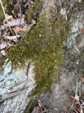
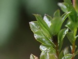
A photograph of the species Leucodon brachypus, not of this specimen1864Leucodon brachypus Brid.Plantaenot statedE. J. FerrisNY 480701
A photograph of the species Mnium spinulosum, not of this specimen1864Mnium spinulosum Bruch & Schimp.PlantaePainesvilleE. J. FerrisNY 379852
A photograph of the species Ameiurus nebulosus, not of this specimen1865Ameiurus nebulosus (Lesueur, 1819)AnimaliaLake ErieOthniel C. MarshYPM YPM ICH 011978
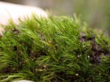
A photograph of the species Dicranella heteromalla, not of this specimen1871Dicranella heteromalla (Hedw.) Schimp.Plantaenot statedH. C. Beardslee, Sr.NY 299087
A photograph of the species Didymodon tophaceus, not of this specimen1871Didymodon tophaceus (Brid.) LisaPlantaenot statedH. C. Beardslee, Sr.NY 624132
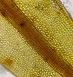
A photograph of the species Discelium nudum, not of this specimen1871Discelium nudum (Dicks.) Brid.Plantaenot statedH. C. Beardslee, Sr.NY 303442
A photograph of the species Drepanocladus polycarpos, not of this specimen1871Drepanocladus polycarpos (Blandow ex Voit) Warnst.Plantaenot statedH. C. Beardslee, Sr.NY 589068

Every populated place in the county

72

Named settlements recorded in the Geographic Names Information System, each with the topographic sheets covering it. Villages, hamlets and abandoned places alike. Each is shown with the watercourse or landform it stands on and the survey quadrangle it falls on. The 4 places that were also surveyed for fire insurance come first, with the number of atlases and photographs held for them.

Recorded here

Painesville, Ohio

15 topographic sheets and 9 fire insurance atlases, 1884 to 1930

Willoughby, Ohio

14 topographic sheets and 8 fire insurance atlases, 1887 to 1952

Madison, Ohio

12 topographic sheets and 6 fire insurance atlases, 1898 to 1938

Mentor, Ohio

16 topographic sheets and 2 fire insurance atlases, 1941 to 1941

Everything this county holds

The complete index, with nothing left out. Each of these is a separate record with its own page: a federal survey report, or the case file that argued a property on to the National Register. Both are public domain and reproduced word for word.

Surveyed structures

23 structures

Nomination case files

69 case files

The vanished settlements of Lake County, the places these records name that are no longer on the map.

Provenance

  • Topographic sheets. USGS Historical Topographic Map Collection, county index, measured from the bulk metadata.
  • Fire insurance maps. Library of Congress Sanborn collection, faceted to this county.
  • Photographs. Each place queried individually against the Library of Congress Prints and Photographs search.
  • Wildfire. Short, Karen C. 2022. Spatial wildfire occurrence data for the United States, 1992-2020 [FPA_FOD_20221014]. 6th Edition. Fort Collins, CO: Forest Service Research Data Archive. https://doi.org/10.2737/RDS-2013-0009.6 Collected with United States Government funding and usable without additional permissions or fees.
  • Specimens. Global Biodiversity Information Facility (GBIF), https://www.gbif.org/. Only records licensed CC0 or CC BY are used. Records licensed CC BY-NC are excluded because this site carries advertising. Images are checked individually and any whose licence is non-commercial, no-derivatives or unreadable is refused.
  • Mines and quarries. USGS Mineral Resources Data System (MRDS) https://mrdata.usgs.gov/mrds/ A work of the United States government, no copyright under 17 U.S.C. 105.
  • Storms. NOAA National Centers for Environmental Information, Storm Events Database https://www.ncei.noaa.gov/stormevents/ A work of the United States government, no copyright under 17 U.S.C. 105. Narratives are quoted verbatim from the National Weather Service report and are not edited or summarised.