 Block
Block
Continental, Ohio
12 topographic sheets cover this place, the earliest surveyed in 1909 and the latest in 1986. It stands in Monroe Township. It lies in ZIP code area 45831. The Survey maps it on the Continental quadrangle. 1,102 people lived here at the 2020 count. It stands 722 feet above sea level.
Population over time
2 figuresContinental fell from 1,153 to 1,102 between 2010 and 2020. These are the recorded population figures Wikidata holds for this place, reached through the Geographic Names Information System number this page is keyed on rather than by name, so they belong to this place and not to another of the same name. Most are census counts, but not all are: an early figure may be a founding or settlement estimate. The change column is computed, and is left blank where more than 20 years separate a figure from the one before it, because a gap that long is not a change between two counts.
| Year | People | Change |
|---|---|---|
| 2010 | 1,153 | |
| 2020 | 1,102 | -51 (-4%) |
Then and now
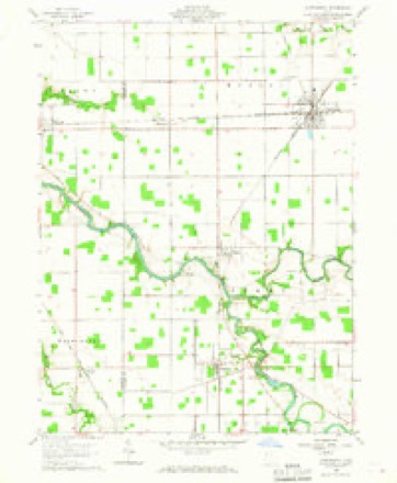
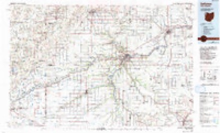
1909 to 1986The same ground, surveyed 77 years apart. Drag the handle to wipe between them. Both sheets are United States Geological Survey originals; neither has been altered.
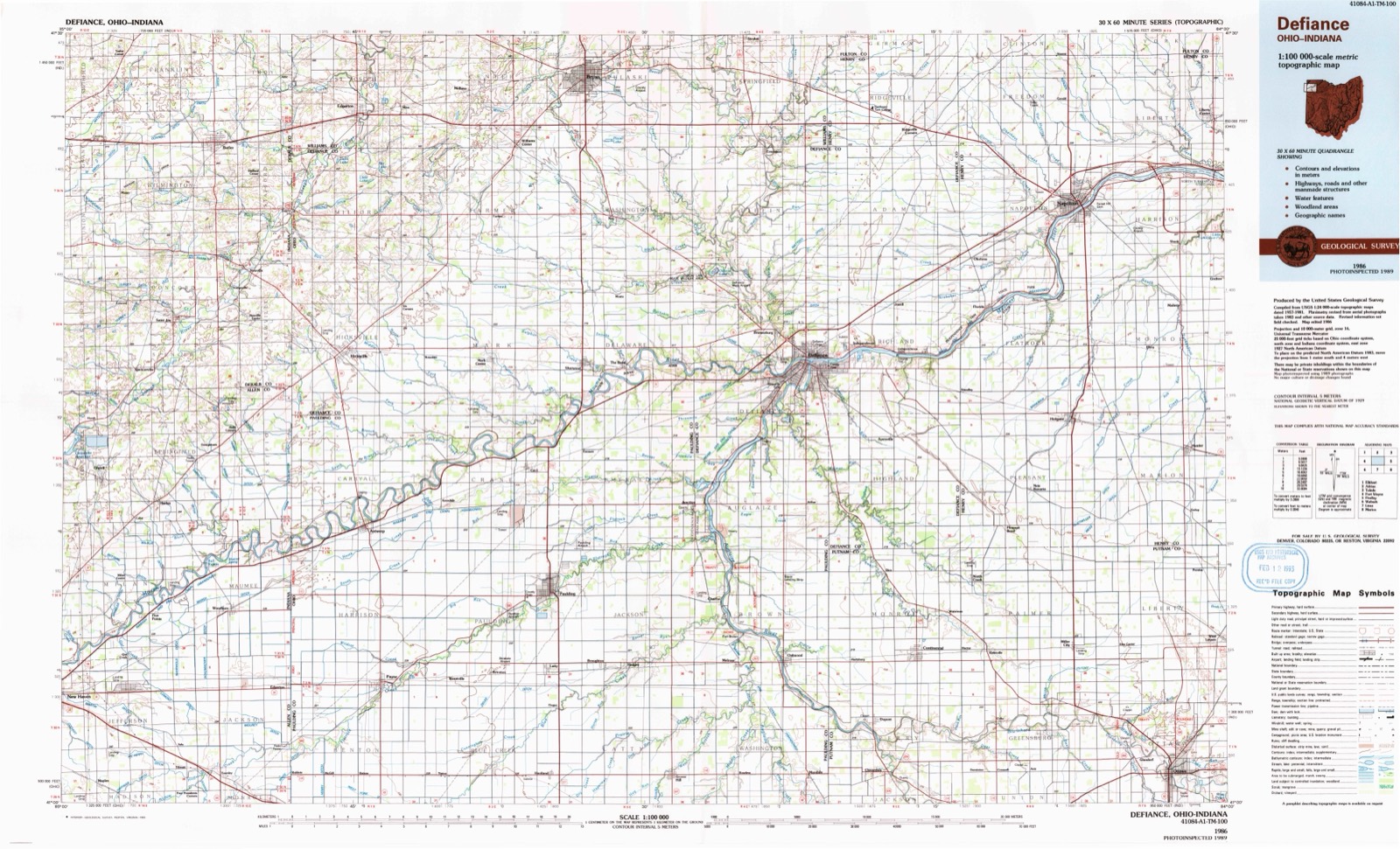
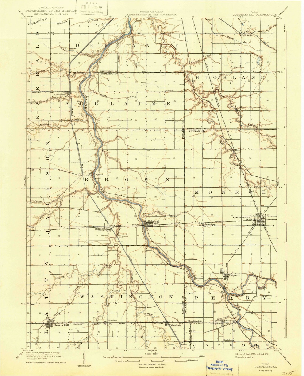
Topographic sheets covering this place
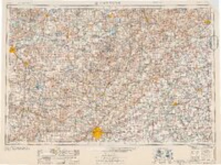
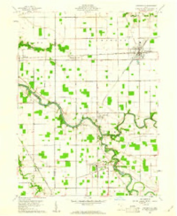
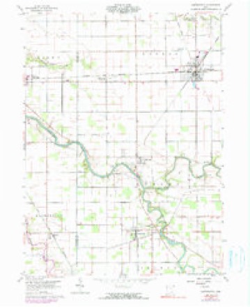
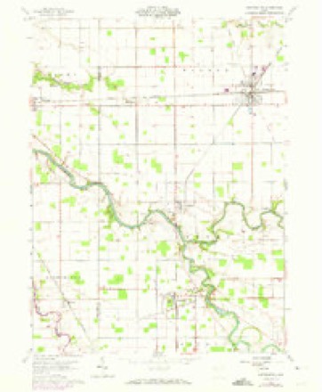
12 sheetsMatched by testing this settlement's coordinate against the published boundary of every sheet in the United States Geological Survey's historical collection. Each opens the scanned sheet at the Survey.
- 1909 USGS Continental quadrangle1:62500
- 1953 USGS Fort Wayne quadrangle1:250000
- 1953 USGS Fort Wayne quadrangle1:250000
- 1953 USGS Fort Wayne quadrangle1:250000
- 1953 USGS Fort Wayne quadrangle1:250000
- 1956 USGS Fort Wayne quadrangle1:250000
- 1956 USGS Fort Wayne quadrangle1:250000
- 1960 USGS Continental quadrangle1:24000
- 1960 USGS Continental quadrangle1:24000
- 1960 USGS Continental quadrangle1:24000
- 1960 USGS Continental quadrangle1:24000
- 1986 USGS Defiance quadrangle1:100000
In the county-history sources
902 words on this townshipHistory of Putnam County, Ohio : Its Peoples, Industries, and Institutions, published 1915 names this settlement in its chapter on Monroe Township. These are the passages that mention it, exactly as the scans read.
Continental is the chief town in Monroe township, but its history and growth will be dealt with in another chapter. Lying due west of Continental three miles on the Nickel Plate railroad is a small hamlet which needs honorable mention. This aforesaid town is Hartsburg. The date of the platting of this village, if it was ever platted, cannot be ascertained. At present Hartsburg has one church and a school building. It is a stop on the Nickel Plate railroad.
Passage source: History of Putnam County, Ohio : Its Peoples, Industries, and Institutions, published 1915.
Continental, first called Marice City, was laid out and platted on March 23, 1888, by George Skinner for Gen. A. V. Rice. It was named in honor of the General's daughter, Mary Rice. At the time when the Nickel Plate railroad was constructed through Putnam county the land in the southeastern part of Monroe township was one vast body of unbroken wilderness and swamp. The Rice road improvements were constructed in 1865 through the present site of Marice City and made this land productive and, with the intersection of two railroads, a very desirable location for a town. In 1888 the Buckeye Stave Company erected their stave factory on their addition which they had laid out the same year (James Belford, surveyor). In the same year Dr. B. D. Sparling" employed A. Overbeck to lay out and plat his first addition. In 1887 D. \Y. Seitz laid out and platted an addition for Gen. A. V. Rice, and the following year the same surveyor platted a second addition for Dr. B. D. Sparling. Mr. Seitz also platted a second addition for the Buckeye Stave Company, in 1890, and the same year sub-divided outlot No. I of Rice's addition, for the district assessor, H. B. Pierce. In 1895 ^''- Seitz also platted a sub-division for W. H. Miller.
Passage source: History of Putnam County, Ohio : Its Peoples, Industries, and Institutions, published 1915.
The first store was opened up in Marice City by James Sullivan. This was followed, soon afterward, by a general store by the Buckeye Stave Company, but was later purchased by H. B. Rose and Alvin Poe. James Bell built his present store room and opened up a general store in 1887. Others followed soon afterward. The town was incorporated March 22, 1888, with the following officers : Polk Berbage, mayor ; C. G. Ballman, clerk ; James Bell, treasurer; C. S. Parish, marshal; W. B. Miller, John Hutchison, Hiram Dellinger, George Hahn, Silas Colvin and John Shamberger, councilmen. At the time when the town was incorporated several of the citizens tried to get the name changed to Continental, but this was not accomplished until April 17, 1899, at the February term of court.
Passage source: History of Putnam County, Ohio : Its Peoples, Industries, and Institutions, published 1915.
Machine-read from a century-old scan, so expect the errors a machine makes: misspelled names, dropped words, stray characters.
Read the whole chapter on Monroe Township - it names this place 2 more 2 times.
Specimens collected near this place
12 of 84 shownRegional context, not property-specific evidence. Museums hold 84 specimens collected within 10 miles of Continental between 1893 and 1969: 84 Animalia. 12 distinct Species records are shown. Collected by Adler, K. K., Blyth & Katz, Creamer, D. and others. Each is a physical object with a catalogue number, and each entry opens the museum's record. This is what was collected and kept, not a survey of what lives here - nothing can be concluded from a species being absent.
| Image | Species | Year | Collected by | Where, as recorded |
|---|---|---|---|---|
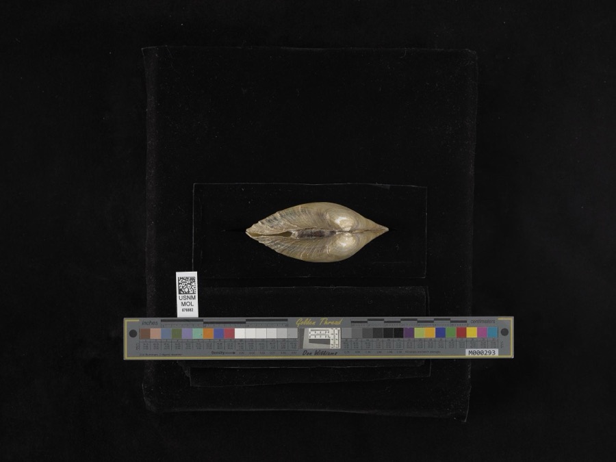 | Lampsilis ventricosa (Barnes, 1823) | 1893 | not recorded | Blanchard River |
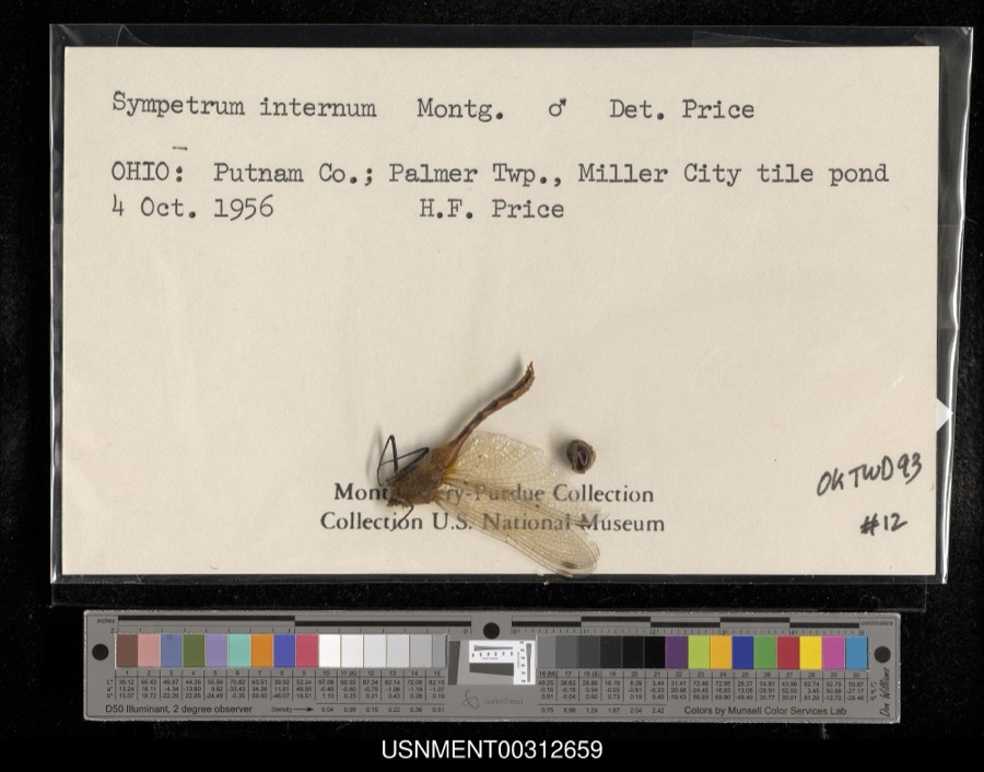 | Sympetrum internum Montgomery, 1943 | 1956 | H. Price | Palmer Township, Miller City tile pond |
 | Ambloplites rupestris (Rafinesque, 1817) | 1893 | P. Kirsch | Auglaize River, Oakwood, Ohio |
 | Ericymba buccata Cope, 1865 | 1893 | P. Kirsch | Auglaize River, Oakwood, Ohio |
 | Ictalurus punctatus (Rafinesque, 1818) | 1893 | P. Kirsch | Auglaize River, Oakwood, Ohio |
 | Lithobates pipiens (Schreber, 1782) | 1893 | not recorded | Cloverdale, Auglaize River |
 | Notropis whipplei (Girard, 1856) | 1893 | P. Kirsch | Auglaize River, Oakwood, Ohio |
 | Noturus flavus Rafinesque, 1818 | 1893 | P. Kirsch | Auglaize River, Cloverdale, Ohio |
 | Acris crepitans Baird, 1854 | 1930 | Walker, C. F. (Charles F.) | Sugar Cr. Twp: near Vaughnsville, Putnam Co., Ohio |
 | Rana clamitans Latreille, 1801 | 1930 | Walker, C. F. (Charles F.) | Sugar Creek Twp.: near Vaughnsville, Putnam Co., Ohio |
 | Pseudacris triseriata (Wied-Neuwied, 1838) | 1931 | Walker, C. F. (Charles F.) | Ottawa Twp., Putnam Co., Ohio |
 | Rana pipiens Schreber, 1782 | 1931 | Walker, C. F. (Charles F.) | Ottawa Twp., Putnam Co., Ohio |
All 84 specimens within 10 miles, at the Global Biodiversity Information Facility.
Mines and quarries near this place
1 within 5 milesRegional context, not property-specific evidence. The federal mineral resources record lists 1 working within 5 miles of Continental: 1 producer. All of them still produce. What was taken out: Clay. Distance is straight-line from the map coordinates, so a quarry counted here may appear on a neighbouring settlement's page as well.
| Where | Site | Commodity | Status | Recorded |
|---|---|---|---|---|
| Glandorf Tile Co Pit | Clay | Producer |
Storms near this place
19 since 1994Regional context, not property-specific evidence. The National Weather Service names Continental in 19 storm reports between 1994 and 2017: 13 thunderstorm wind, 2 hail, 2 tornado, 1 flash flood. The reports record 2 deaths and 1 injury. Each account below is quoted exactly as the forecast office filed it, from the NOAA Storm Events Database, and each date opens the federal record of that event.
| When | Event | Place named | Harm | What the report says |
|---|---|---|---|---|
| November 2002 | Tornado (F3) | Continental | 2 killed | This tornado originated in Van Wert county and moved across Paulding county into Putnam county about 4 miles west southwest of Continental. NWS ground and aerial survey found F3 damage as the tornado entered Putnam county, striking a mobile home and killing a husband and wife. The tornado moved northeast across the northwest corner of Putnam county, quickly weakening to an F0 as it exited the county 4.5 miles north of Continental. |
| June 2005 | Thunderstorm Wind | Continental | 1 hurt, $15,000 | A barn was blown down in the area. A RV was rolled over on a nearby road. The driver suffered minor injuries to a foot as a result of the upset. |
| September 1994 | Hail | Continental | $500,000 | no account filed |
| August 1998 | Flash Flood | Continental | $250,000 | EXTENSIVE FLOODING OCCURRED ACROSS THE COUNTY ESPECIALLY THE NORTHERN HALF. MANY COUNTY ROADS WERE WASHED OUT TO SOME DEGREE. |
| May 1999 | Thunderstorm Wind | Continental | $70,000 | County EMA reported roof torn off of building and an old building destroyed by straight-line winds. |
| June 2004 | Thunderstorm Wind | Continental | $20,000 | NWS storm survey showed winds estimated between 80 and 100 MPH occurred across northern Putnam county with damage to trees and a barn destroyed northwest of Continental. Minor damage was reported to a few homes. |
| May 2004 | Thunderstorm Wind | Continental | $2,000 | Law enforcement reported a wall blown down and the roof off of an abandoned gas station in Continental. |
| June 2017 | Thunderstorm Wind | Continental | - | Amateur radio operators reported an eight to ten inch limb snapped off a tree. |
| June 2013 | Thunderstorm Wind | Continental | - | Emergency management officials reported structural damage around Continental. |
| September 2012 | Thunderstorm Wind | Continental | - | Law enforcement officials reported large tree limbs were blown down. |
| October 2010 | Thunderstorm Wind | Continental | - | Emergency management officials reported several barns destroyed at Ohio 613 and 634. |
| June 2010 | Thunderstorm Wind | Continental | - | Trees down and power out. |
| July 2005 | Thunderstorm Wind | Continental | - | Trees were reported down in Continental and Miller City. |
| May 2004 | Thunderstorm Wind | Continental | - | Amateur radio estimated wind gusts to 65 MPH in Continental. |
| April 2000 | Flood | Continental | - | Minor street flooding. |
| August 2000 | Thunderstorm Wind | Continental | - | Large trees down. |
| April 2003 | Hail | Continental | - | no account filed |
| August 2000 | Thunderstorm Wind | Continental | - | no account filed |
| May 1998 | Tornado (F0) | Continental | - | no account filed |
Nearest settlements
The eight closest, with where each one stands in the county. Distances are straight-line, computed from the Geographic Names Information System coordinates.
| Map | Place | Distance | Sheets |
|---|---|---|---|
| Hector | 2.0 miles | 11 | |
| Wisterman | 2.2 miles | 11 | |
| Hartsburg | 3.1 miles | 12 | |
| Kieferville | 3.2 miles | 11 | |
| Dupont | 3.6 miles | 12 | |
| Rice | 3.8 miles | 12 | |
| North Creek | 4.0 miles | 12 | |
| Franconia (historical) | 4.4 miles | 12 |
Elsewhere
Matched on this settlement's Geographic Names Information System number rather than its name, so it cannot be a different place of the same name in another state.
| Wikipedia article on Continental | An encyclopaedic summary. Its text is share-alike, so it is linked here rather than copied. |
| Wikidata item Q2081833 | The structured record the population and elevation above come from. Public domain (CC0). |
Provenance
This settlement is recorded in the Geographic Names Information System as feature 1056835. The sheet list is computed by point-in-boundary test against the United States Geological Survey's historical topographic inventory. Both are works of the United States government and carry no copyright under 17 U.S.C. 105.
Specimens. Global Biodiversity Information Facility (GBIF), https://www.gbif.org/. Only records licensed CC0 or CC BY are used. Records licensed CC BY-NC are excluded because this site carries advertising. Images are checked individually and any whose licence is non-commercial, no-derivatives or unreadable is refused.
Mines and quarries. USGS Mineral Resources Data System (MRDS) https://mrdata.usgs.gov/mrds/ A work of the United States government, no copyright under 17 U.S.C. 105.
Storms. NOAA National Centers for Environmental Information, Storm Events Database https://www.ncei.noaa.gov/stormevents/ A work of the United States government, no copyright under 17 U.S.C. 105. Narratives are quoted verbatim from the National Weather Service report and are not edited or summarised.