76 topographic sheets and 24 fire insurance
atlases across 4 places.
Research this county
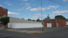
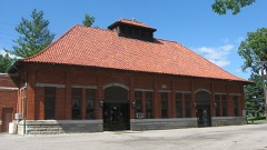
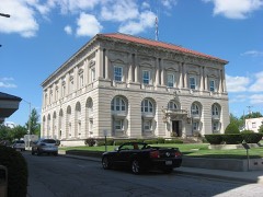
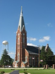
This curated hub for Putnam County, Ohio brings together the page's documented record links, visible map or image evidence where published, and routes to related local records.
Use the page's provenance and linked records to distinguish the source material from the site's navigation and summaries.
How should I cite it?
Open the original record, preserve its repository and identifier, then use the citation tool for this page as a path back to the source.
Where should I go next?
Follow the county or state hub for related places and records, then use the guide for a source-aware research sequence.
From the record
7 National Register listings · 30 businesses named in the fire insurance atlases from 1893 to 1916 · the 1915 county history tells 3 stories and names 300 people · people the book names include Jaaies M. Agner (Ottawa Township, 1915) (machine-read).
Ohio within the United StatesPutnam County within Ohio
Explore by year
What the record shows
4 places in this county were surveyed for fire insurance: Leipsic, Columbus Grove, Ottawa, Continental, between 1884 and 1951.
24 fire insurance atlas(es) survive for the county. Topographic coverage is national; fire insurance survey reached only incorporated places with something worth insuring.
593 topographic sheet readings cover the county's settlements.
7 properties here are on the National Register of Historic Places, including 3 houses and farms.
5 of the 7 listings were added during the 1970s.
The Geographic Names Information System records 50 populated places in this county; 0 are covered by at least one topographic sheet.
1 public-domain county history, 1915, supply 372,841 words of narrative reproduced here in full.
What happened here
3 accounts
A captivity, a drowning, a famine, a man
scalped clearing his lot in 1789. These are passages from History of Putnam County, Ohio : Its Peoples, Industries, and Institutions, written
while people who remembered the events were still alive, and each one
opens the section it comes from.
1915, Ottawa Township
Cholera At Gilboa In 1852
In 1852, during the epidemic of cholera, Gilboa was the worst afflicted illage in the county. It had nineteen cases of the dread disease, from which fourteen deaths occurred, only five persons who had the disease recovering. A great many of the people fled from the village, and only two doctorsremained to administer to the afflicted.
relative of President Van Buren, and was also a native of New York state. They moved to Cleveland, Ohio, when that city was a mere hamlet and settled on a forty-acre tract of land, where the heart of the city is now situated. Reuben Wight died of cholera in 1830, during the plague of that year. Charles E.
son, was born in Pennsylvania in 1789. Her mother was a Miss Bo3'd, member of a family who settled in an early day among the Indians at Carlisle, Penn. During the French and Indian wars the entire family was captured save the father, who at the time was absent from home. In a neighboring schoolhouse the teacher and all the pupils were massacred.
Taken for the Office of War Information and
the Farm Security Administration, who photographed the country between
1935 and 1944. Works of United States government photographers, with no
known restriction on use. Each opens its catalogue record.
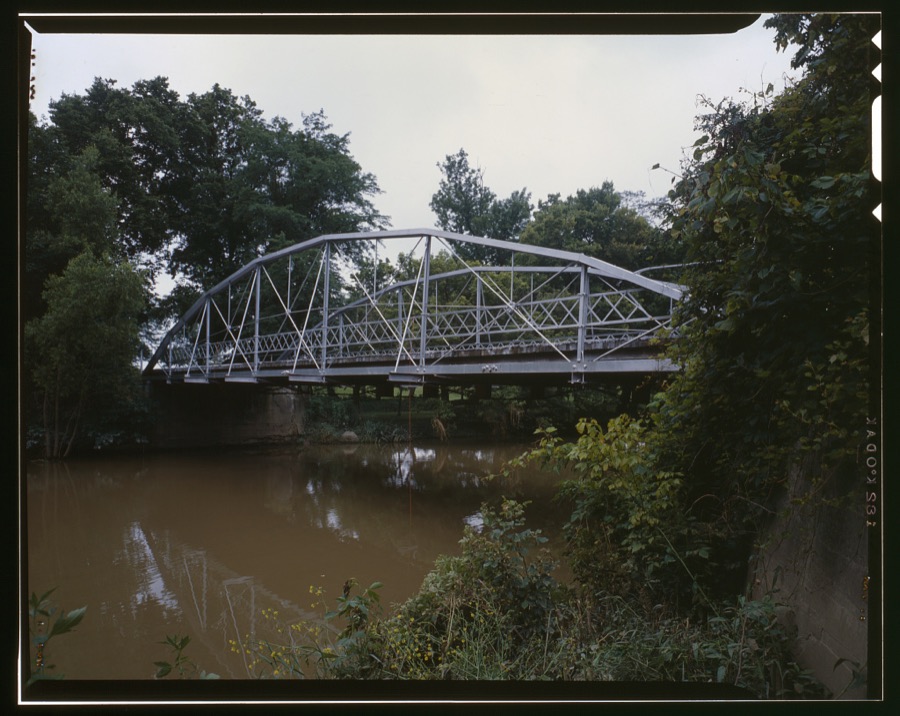
Mallaham Bridge, County Route M-6 spanning Riley Creek, Pandora, Putnam County, OH Unattributed, . Library of Congress
Places on the National Register
7
Every property in this county listed on the
National Register of Historic Places, with the year it was listed and the
federal nomination document.
Putnam County holds 0 covered bridges on
the National Register, more than any other property type here. Each is a listed
structure with a federal nomination on file.
Digitised newspapers
6 issues
Sampled issues, machine-read from the
Library of Congress scan and published page by page, so every headline
and column is searchable text.
The Kalida Venture
Kalida, Ohio, 1841 to 1865. Machine-read from the Library of Congress scan.
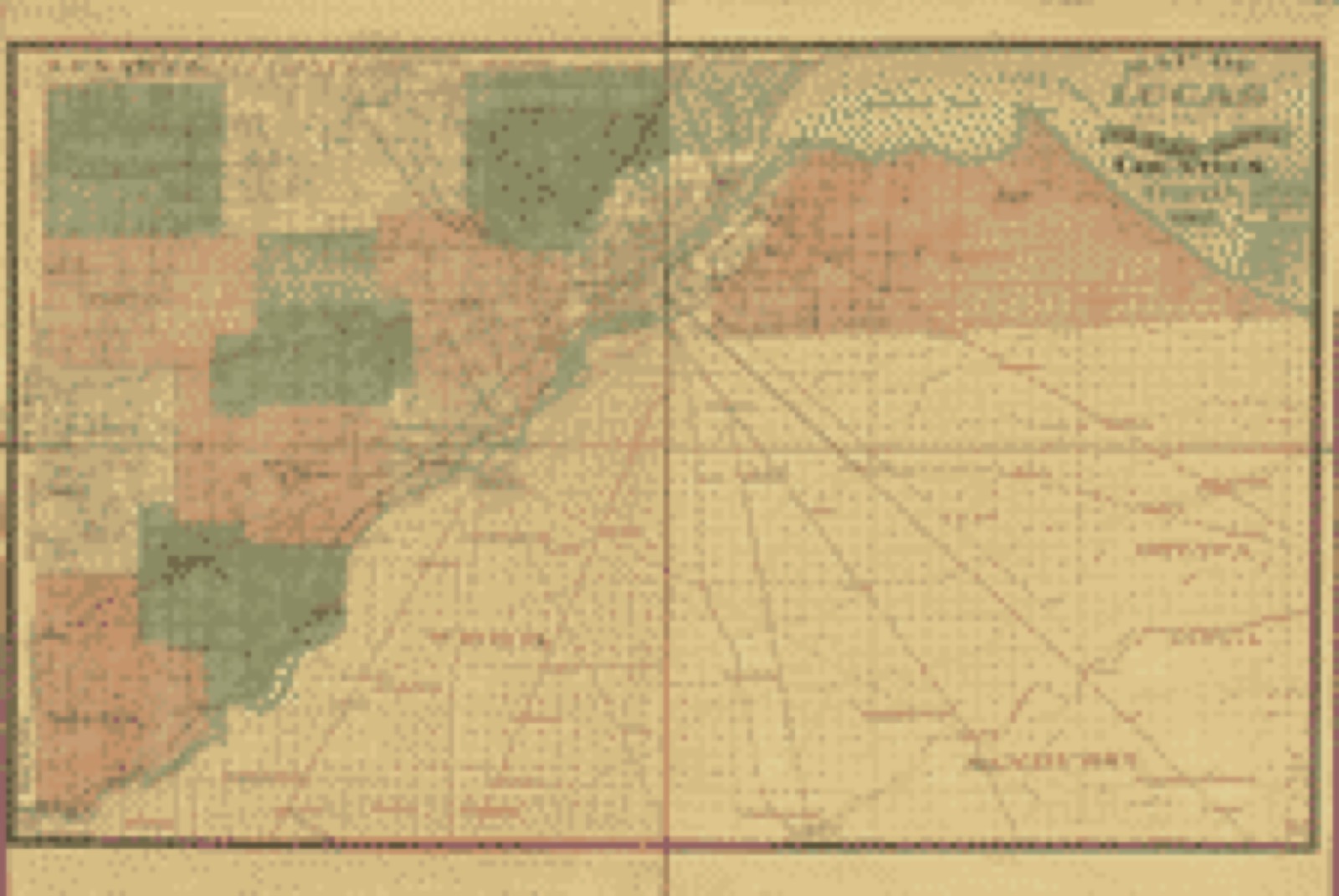
Drawn when these were printed as
single large sheets: the town seen from the air, and the county
divided into its farms with every owner named. Each opens the
original at the Library of Congress.
Land ownership map (1888) - Map of Lucas and parts of Wood, Ottawa and Sandusky Counties, Ohio. Library of Congress.
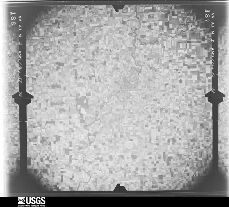
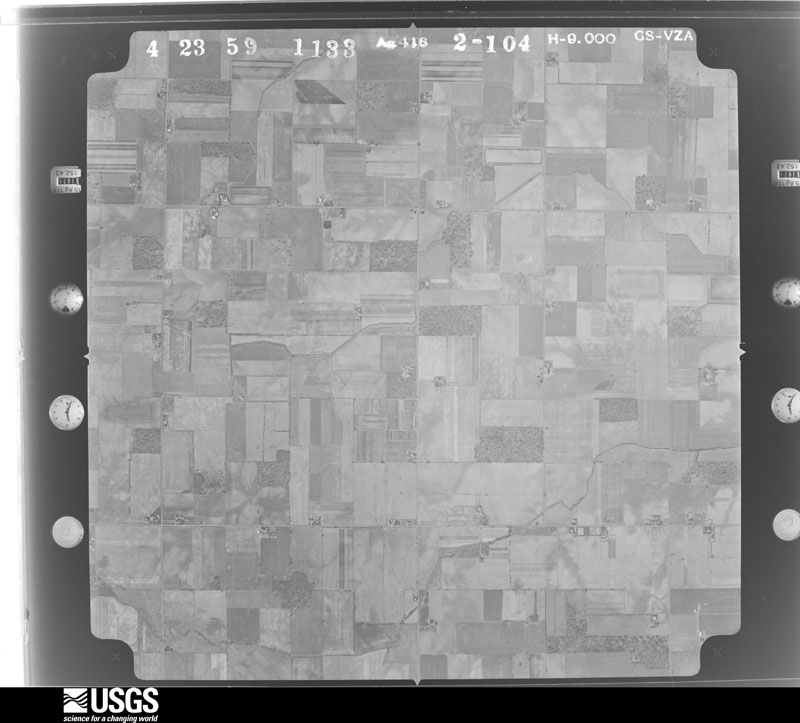
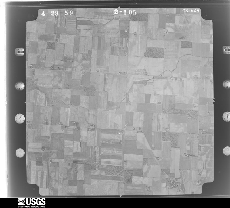
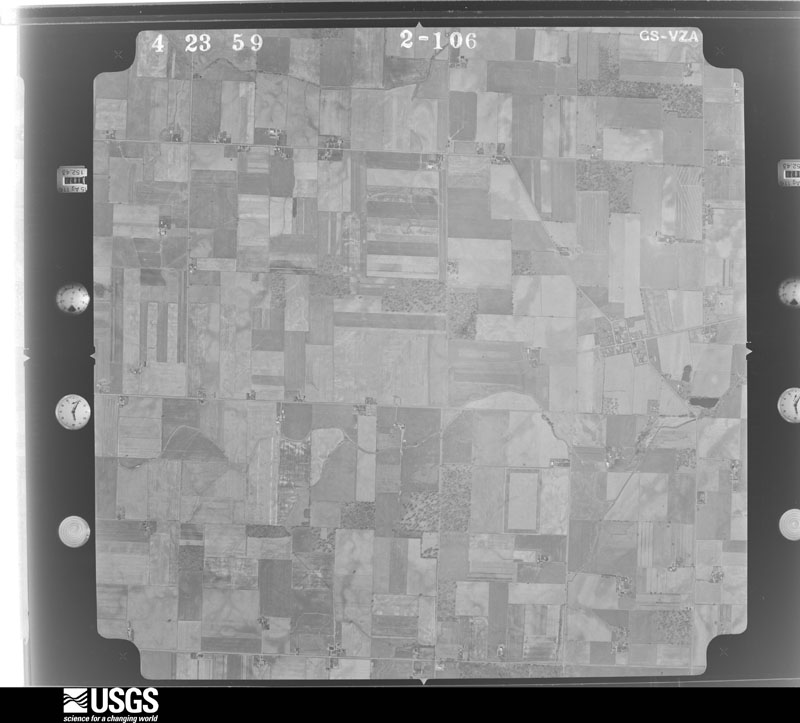
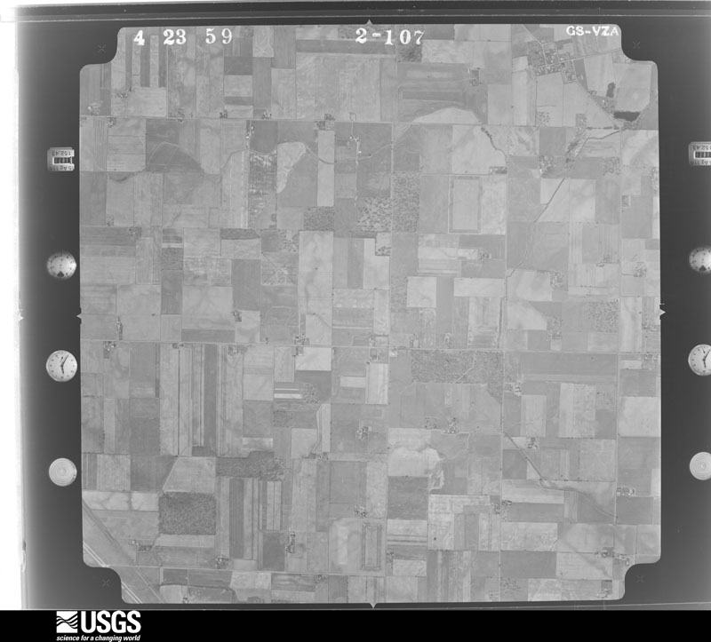
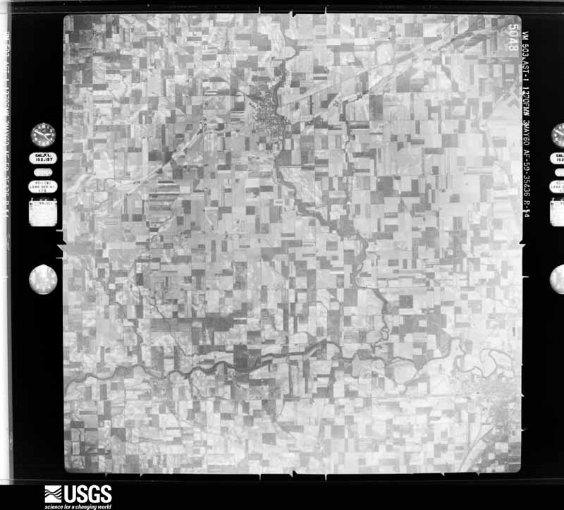
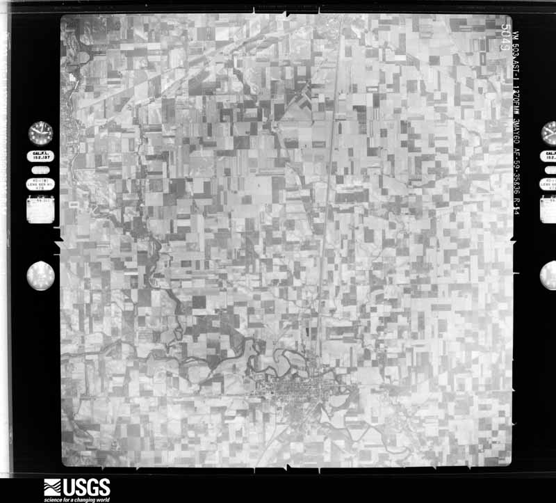
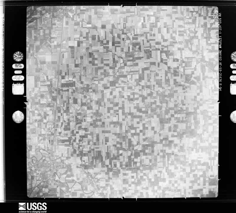
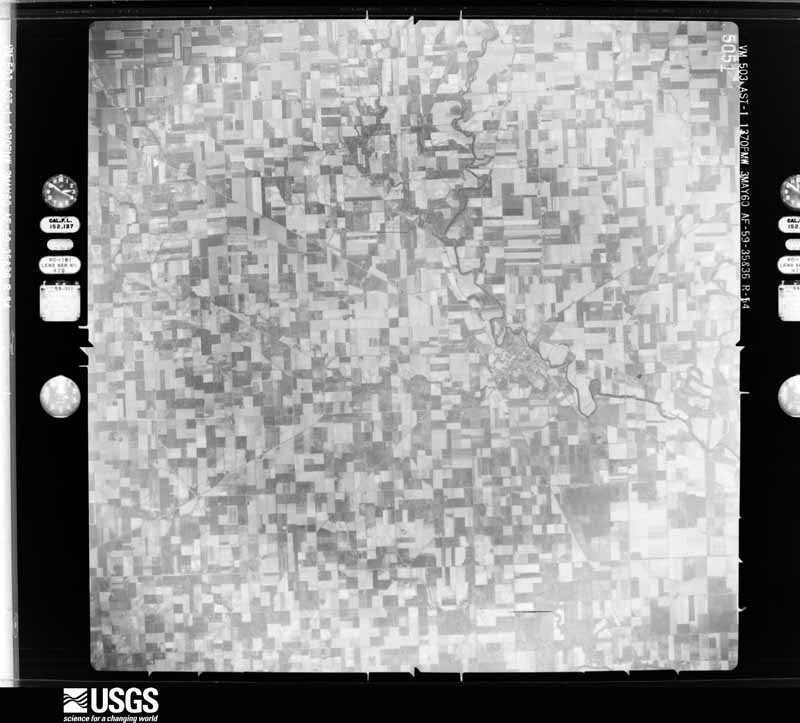
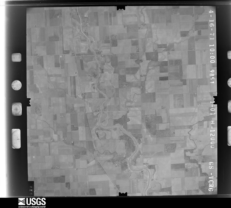
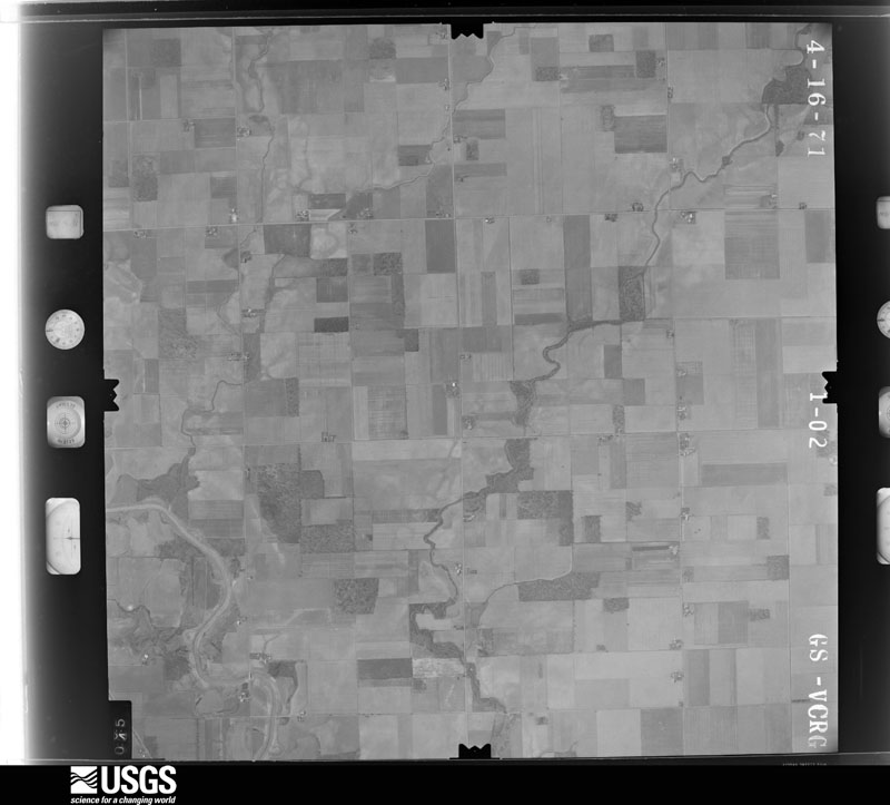
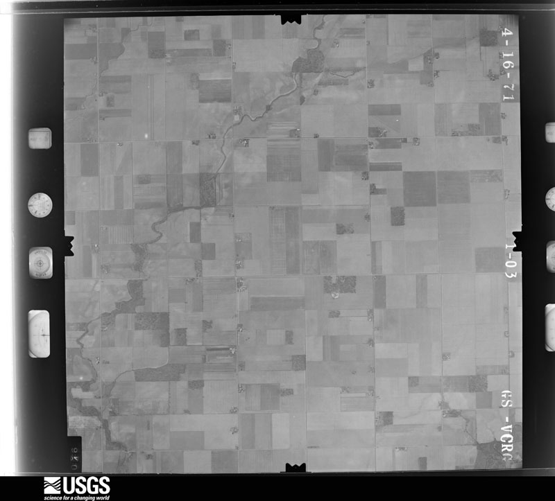
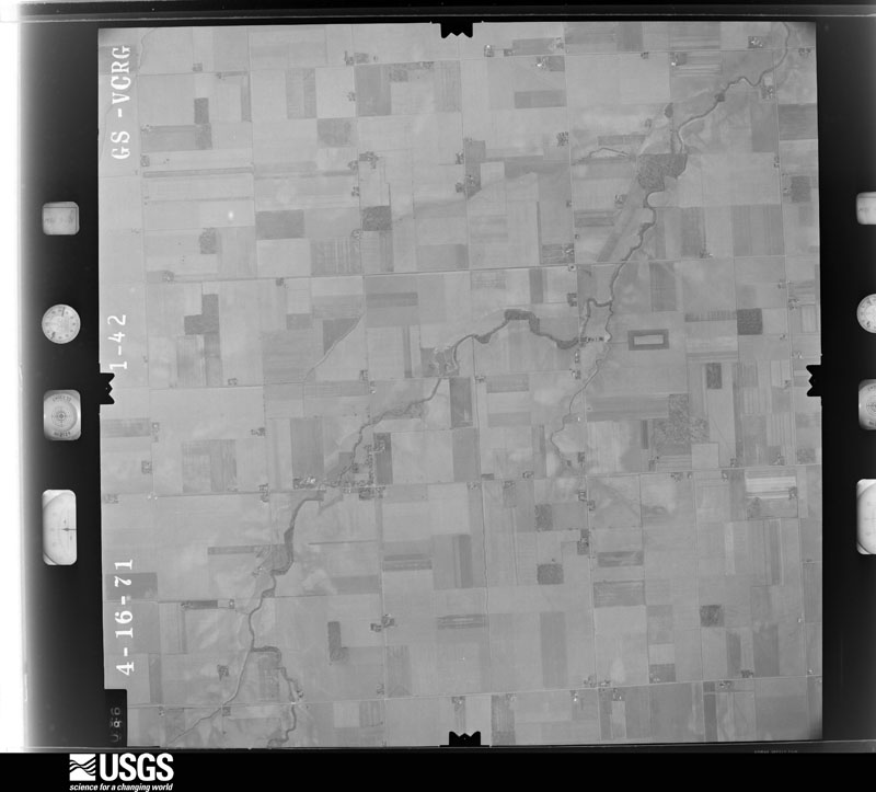
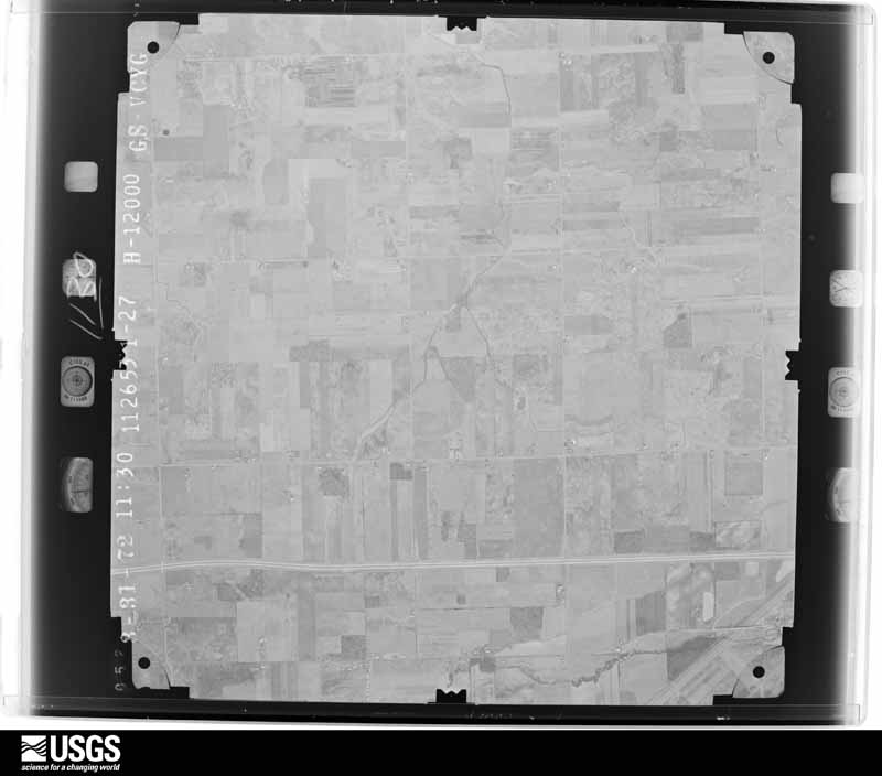
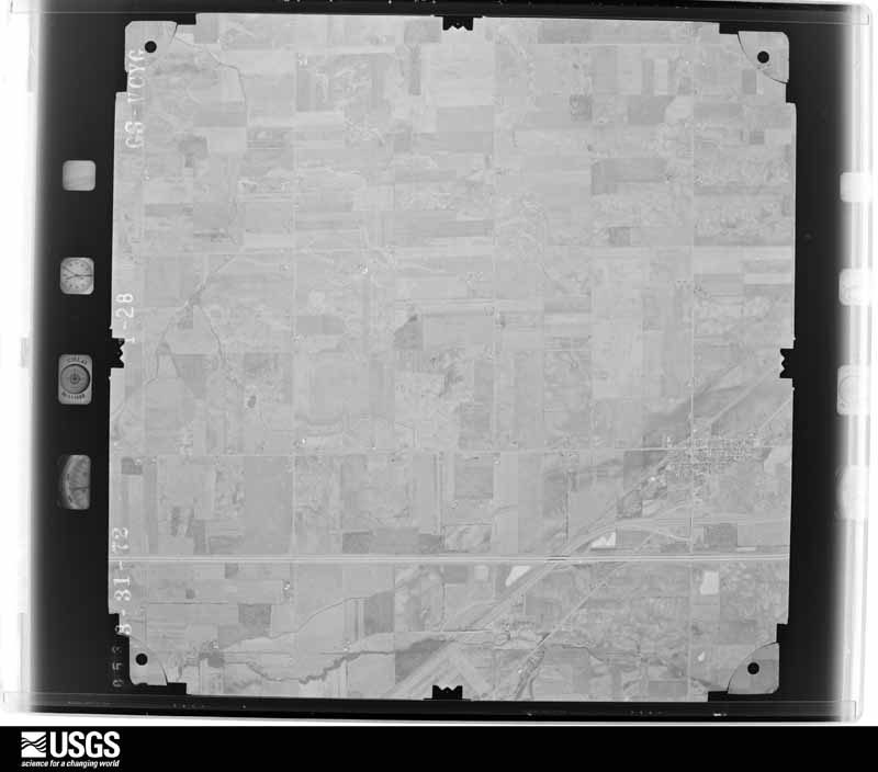
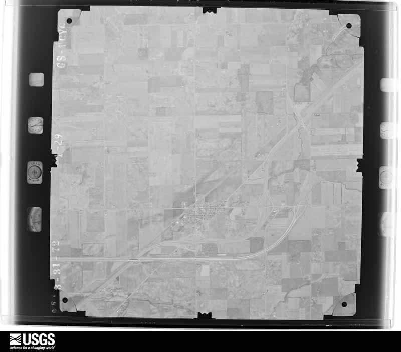
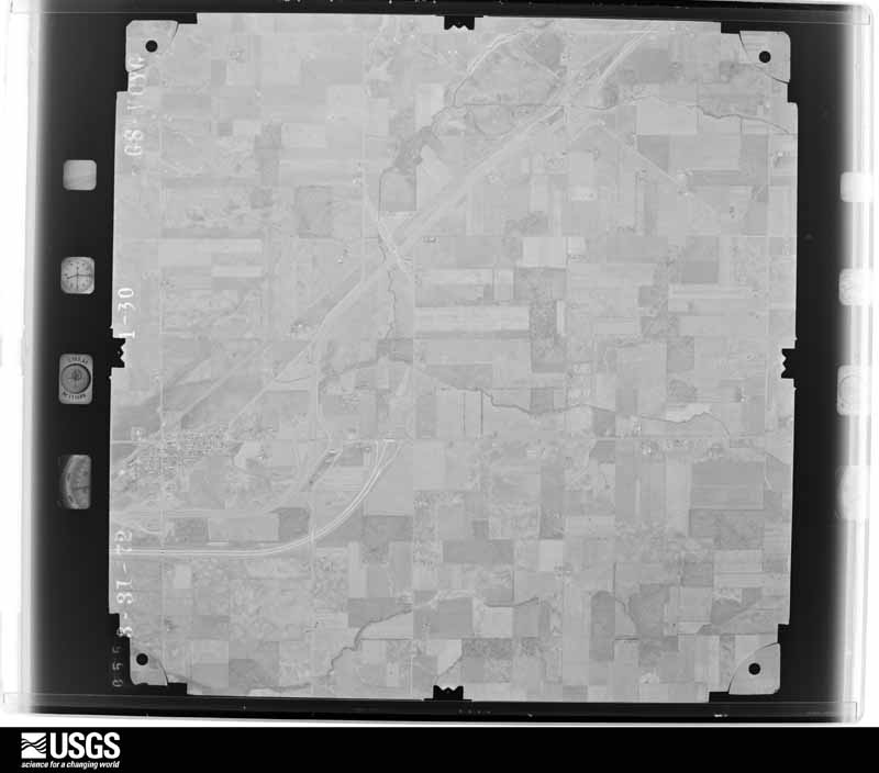
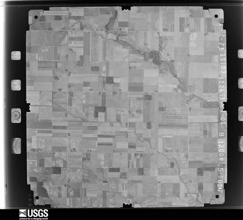
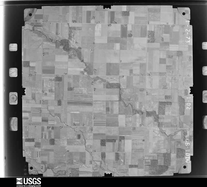
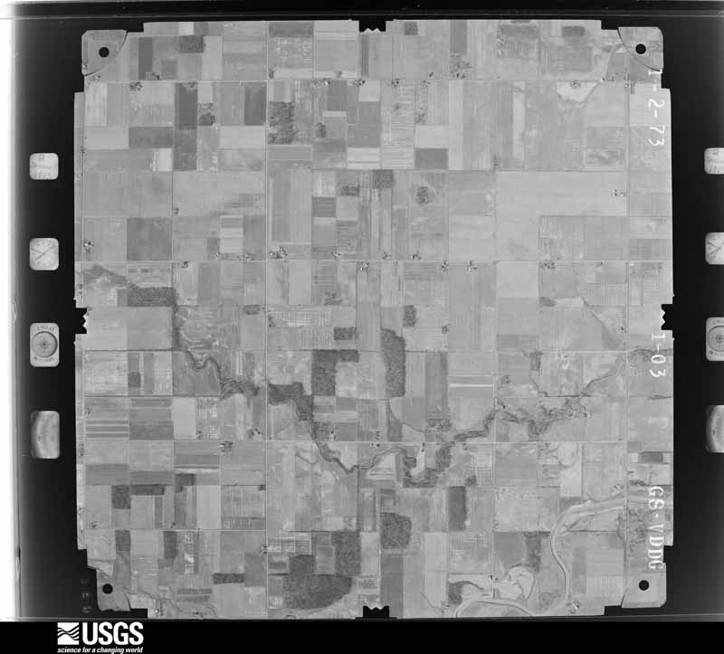
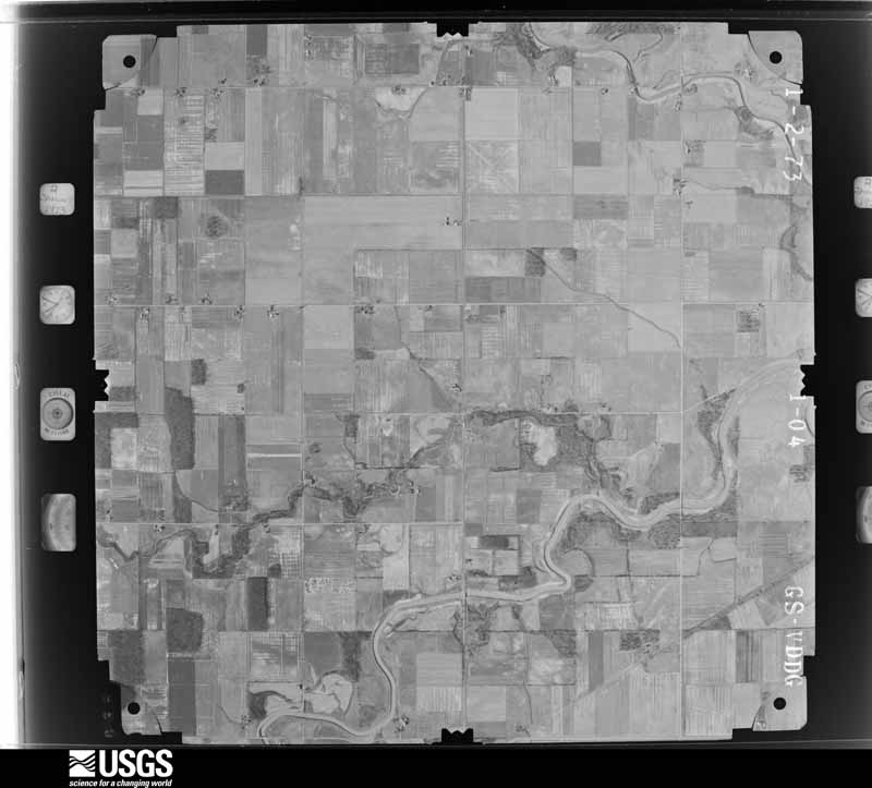
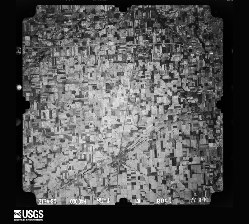
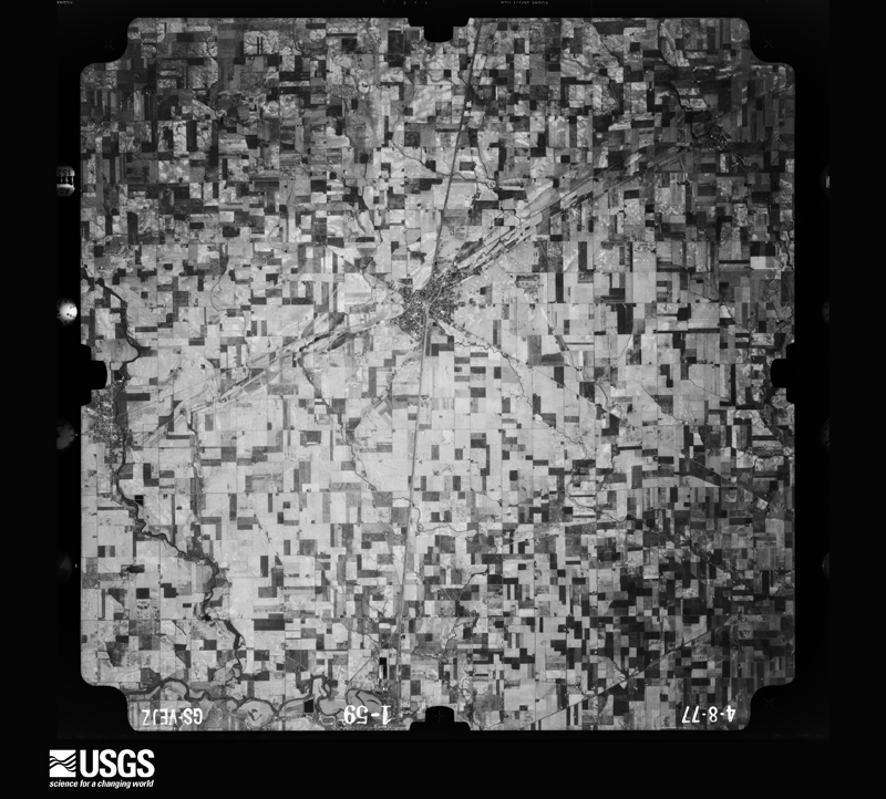
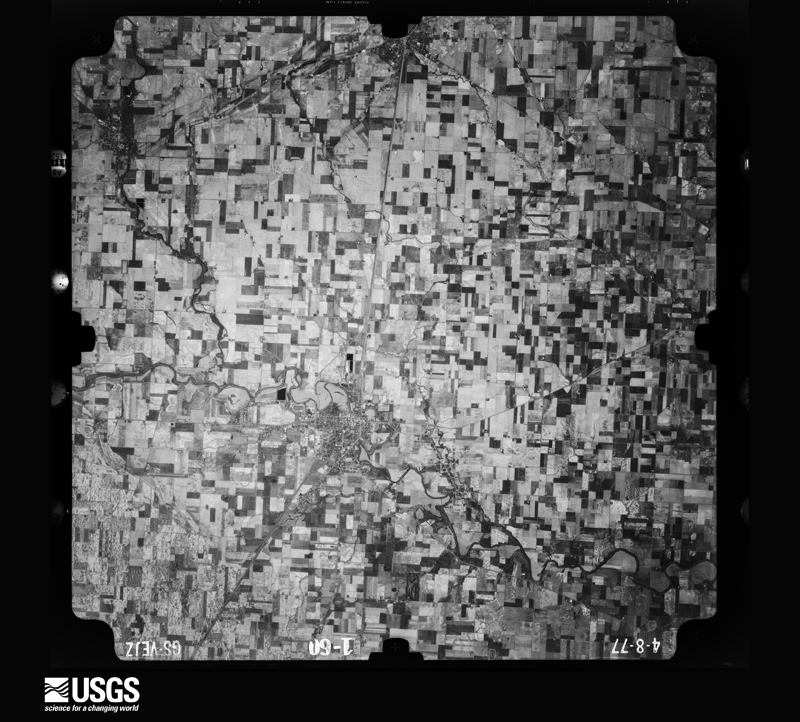
The county from the air
28 of 682 shown
Flown by the U.S. Geological Survey
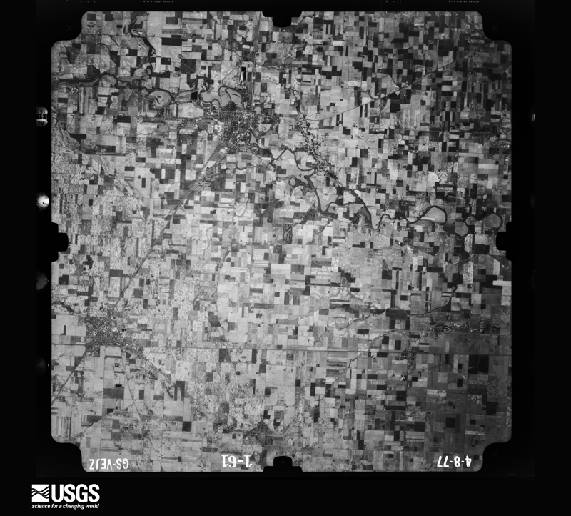
between 1937 and 1989, the Aerial Photo Single Frames collection is
the definitive mid-century view of the land: fields, roads and rivers
as the camera saw them. 682 frames touch this county; the
selection below spreads across the decades of flights (at most four
per year), so one flight cannot crowd out the rest. The full set is
free to browse and download at
EarthExplorer under the dataset Aerial Photo Single
Frames.
1952-08-01, scale 1:69000. U.S. Geological Survey aerial photograph.1952-08-01, scale 1:69000. U.S. Geological Survey aerial photograph.1952-08-01, scale 1:69000. U.S. Geological Survey aerial photograph.1952-08-01, scale 1:69000. U.S. Geological Survey aerial photograph.1959-04-23, scale 1:18000. U.S. Geological Survey aerial photograph.1959-04-23, scale 1:18000. U.S. Geological Survey aerial photograph.1959-04-23, scale 1:18000. U.S. Geological Survey aerial photograph.1959-04-23, scale 1:18000. U.S. Geological Survey aerial photograph.1960-05-03, scale 1:60000. U.S. Geological Survey aerial photograph.1960-05-03, scale 1:60000. U.S. Geological Survey aerial photograph.1960-05-03, scale 1:60000. U.S. Geological Survey aerial photograph.1960-05-03, scale 1:60000. U.S. Geological Survey aerial photograph.1971-04-16, scale 1:24000. U.S. Geological Survey aerial photograph.1971-04-16, scale 1:24000. U.S. Geological Survey aerial photograph.1971-04-16, scale 1:24000. U.S. Geological Survey aerial photograph.1971-04-16, scale 1:24000. U.S. Geological Survey aerial photograph.1972-05-05, scale 1:24000. U.S. Geological Survey aerial photograph.1972-05-05, scale 1:24000. U.S. Geological Survey aerial photograph.1972-05-05, scale 1:24000. U.S. Geological Survey aerial photograph.1972-05-05, scale 1:24000. U.S. Geological Survey aerial photograph.1973-01-02, scale 1:24000. U.S. Geological Survey aerial photograph.1973-01-02, scale 1:24000. U.S. Geological Survey aerial photograph.1973-01-02, scale 1:24000. U.S. Geological Survey aerial photograph.1973-01-02, scale 1:24000. U.S. Geological Survey aerial photograph.1977-04-01, scale 1:80000. U.S. Geological Survey aerial photograph.1977-04-01, scale 1:80000. U.S. Geological Survey aerial photograph.1977-04-01, scale 1:80000. U.S. Geological Survey aerial photograph.1977-04-01, scale 1:80000. U.S. Geological Survey aerial photograph.
City directories
2 volumes
The "who lived here, by year" answer:
pre-1929 public-domain directory volumes naming the county's people,
machine-read and searchable as text.
The thermometers that kept this
county's weather, and the gages that watched its rivers, as the
federal records hold them. The extremes below are measured values
from those records, not estimates.
OTTAWA1948 to 1949, hottest 36.7 C, coldest -14.4 C
OTTAWA1948 to 2026, hottest 15.0 C, coldest -7.2 C
PANDORA1949 to 2026, hottest 38.9 C, coldest -28.3 C
Who lived here in 1950, one enumeration
district at a time, as the Census Bureau described each district.
Each row opens its official National Archives result, with Population
Schedules and ED Maps available there.
69-38Van Buren township - That part outside Belmore and Leipsic villages
Businesses named in the atlases
30 businesses
Every Sanborn volume opens with a printed index
naming the town's mills, tanneries, hotels and works by proprietor. Those
indexes were read off the scanned sheets by machine and then matched to each
other, so a business surveyed four times appears here once, with the years it
survived. 7 of these 30 were named in more than one atlas. Each carries a
crop of the line it was read from: the spelling is the recogniser's and the
1880s lithographer's, and the scan behind it is the proof.
Every wildfire the federal occurrence
database records inside this county: 4 of them, burning about
3 acres. 0 started naturally and 0 were
recorded as arson. Each settlement page carries the fires within five
miles of it.
Reported cause
Fires
Recreation and ceremony
2
Equipment and vehicle use
1
Missing data/not specified/undetermined
1
The five largest, by the area the report
gives. None of them was recorded as arson.
Date
Cause
Size
Reported by
Name on the report
18 October 2002
Equipment and vehicle use
1.0 acres
Ohio State Fire Marshal's Office
not named
25 February 2002
Recreation and ceremony
1.0 acres
Ohio State Fire Marshal's Office
not named
5 May 2002
Recreation and ceremony
under an acre
Ohio State Fire Marshal's Office
not named
6 July 2002
Missing data/not specified/undetermined
under an acre
Ohio State Fire Marshal's Office
not named
Every settlement page carries the fires within five
miles of it - see the settlement index below.
Storms, 1954 to
2026
60 of 287 shown
The
NOAA Storm Events Database holds
287 reports for this county, causing 4 deaths,
5 injuries and about $11,572,700 in recorded property damage.
Each settlement page carries the reports that name it.
Kind of event
Reports
Thunderstorm Wind
159
Hail
88
Tornado
26
Flash Flood
8
Flood
5
Dust Devil
1
The most serious of them, by death, then
injury, then recorded damage. The accounts are quoted exactly as the
forecast office filed them.
This tornado originated in Van Wert county and moved across Paulding county into Putnam county about 4 miles west southwest of Continental. NWS ground and aerial survey found F3 damage as the tornado entered Putnam county, striking a mobile home and killing a husband and wife. The tornado moved northeast across the northwest corner of Putnam county, quickly weakening to an F0 as it exited the county 4.5 miles north of Continental.
Flood waters from the Blanchard River, near Glandorf, caused a truck to be swept off the road on Road 15, north of Road J. Investigators believe that the driver exited the truck attempting to escape the flood water and was swept away. The body of the 74 year old male was recovered about 900 yards from the truck a few days after flood waters receded.
A second tornado spun up north of the decaying Van Wert tornado, touching down in far southeast Paulding County. The tornado severely damaged a pole barn as it moved into Putnam county. The tornado rapidly moved northeast, hitting a well anchored mobile homed and flipping it 60 feet away. Three occupants were in the mobile home and two of them sustained minor injuries. It is here that the tornado peaked at an EF-2 with an estimated wind speed of 120 mph. The tornado destroyed another well-anchored 60x120 ft pole barn, throwing its debris onto the bank of the Auglaize River. To the northeast, it directly hit the town of Dupont where it did widespread EF-0 to EF-1 damage throughout. The tornado damaged several large corn silos (one that was full of corn had the ground anchor bolts break from uplift). It is near here where the visible damage stopped.
ONE MAN ENDED UP PARALYZED WHEN A LARGE TREE LIMB FELL ONTO HIS CAR. COUNTLESS LARGE TREES WERE BLOWN DOWN ACROSS THE COUNTY. ONE HOUSE AND TWO BARNS WERE DESTROYED ON ROAD J-3 AND ROAD K. ANOTHER TWO STORY HOUSE COMPLETELY LOST ITS UPPER FLOOR. ANOTHER BARN ALONG ROAD 7-D AND X WAS FLATTENED WHILE THE LEPSIC ELEMENTARY SCHOOL SUSTAINED EXTENSIVE DAMAGE TO ITS ROOF AND WATER DAMAGE TO THE INTERIOR.
Law enforcement officials reported numerous trees and power lines down from North Creek to Leipsic. A mobile home was overturned on the south side of North Creek, with one person suffering minor injuries.
The tornado formed near Road 13I just south of Township Highway I and dissipated near the Firefox Lake Private Subdivision. As the tornado moved toward the Blanchard River it quickly widened to a peak width of 464 yards or just a little over a quarter of a mile. The tornado continued east before crossing the river again and quickly weakening. The most significant damage occurred along Township Highway I between Roads 13 and 13I. The tornado destroyed six outbuildings including pole barns and well built buildings constructed on a foundation. Over a half dozen homes were damaged with several sustaining major damage including the complete removal of roofs. A large amount of agricultural equipment and eleven vehicles were also damaged or destroyed with total monetary losses initially estimated at $1,200,000.
Tornado touched down in extreme southeast Van Wert county northwest of Delphos as an F0 and movednortheast into Putnam county southwest of Fort Jennings. F3 damage occurred 2 miles southwest of Ottawa in Putnam county with significant damage to well built homes and structures. The tornado was skipping across northeast Putnam county with F1-F2 damage before lifting just south of the Henry county line east of Belmore.
Emergency management reported straight line winds destroyed 3 gym walls and portion of an elementary school wall under construction in Pandora. Walls were cinder block.
Law enforcement reported that numerous roads were closed due to flowing water from the heavy rains. In addition, the Blanchard River was rapidly rising and beginning to close off roads around the river. Damage estimates are for the flash flooding only and do not account for river flooding.
A local newspaper showed pictures of a second story wall of the two story Christies on the Square, built in the 1800s, being blown out with debris falling onto the street below, destroying two parked cars.
A brief EF-0 land spout with winds estimated at 70 mph was confirmed near Leipsic, OH. Emergency manager and trained spotters confirmed tornado. Several photos and videos of the land spout along SR65. One home near the intersection of Road H5 and SR65 sustained damage to the roof and siding. An attached garage collapsed and debris was scattered to the northeast of the property. Time was estimated from radar.
Five telephone poles were damaged from strong winds, with two being snapped off in the Fort Jennings and Ottawaville area. A wood barn was blown down by the strong winds, with two nearby trees being uprooted. Damage is estimated at $15,000 for repair and replacement of the poles and $50,000 for the replacement of the barn.
A local newspaper reported a tree fell through a house near Pandora. In addition, the Bridenbaugh School house, north of Pandora, lost nearly half of its roof to the strong winds.
The public reported a barn was blown off its foundation, with numerous trees being downed. Roof damage also occurred to some nearby buildings. Damage is estimated at $25,000.
NWS storm survey showed winds estimated between 80 and 100 MPH occurred across northern Putnam county with damage to trees and a barn destroyed northwest of Continental. Minor damage was reported to a few homes.
A brief tornado occurred about three-quarters of a mile northwest of Fort Jennings at about 945 pm EDT. The tornado was on the ground for about 1 mile and traveled northeast, crossing County Road R and Ohio State Route 634. The tornado was about 75 yards wide at its broadest point. Damage observed by the survey team included roof and siding damage to several homes and garages. A pole barn received substantial damage and its metal doors were pushed inward, with a section of roof ripped off. Another barn was completely destroyed. Damage to structures is estimated at $15,000. Crop damage was noted with corn knocked down and soy bean fields scoured, estimated at $10,000.
The Survey's mineral resources record
lists 12 workings inside this county. 4 still
produce and 8 are closed or unrecorded. Each settlement
page carries the workings within five miles of it.
Commodity
Workings
Clay
4
Limestone, General
3
Stone, Crushed/Broken
3
Sand and Gravel, Construction
2
The least common of them first, because a
county's hundredth gravel pit says nothing its first ten did not.
Museum specimens collected inside this
county and catalogued with a date and a place: 216 of them, by
kingdom 207 animalia, 8 plantae, 1 fungi. Each is a physical object in a named collection, not a
sighting. Held by Ohio State University - Fish Division, Columbus, OH (OSUM), USNM, CMN, CUMV, UMMZ, NYSM among others, and each settlement page carries
the specimens collected near it.
The oldest of them. A specimen proves
something was collected on that day; its absence proves nothing.
History of Putnam County, Ohio : Its Peoples, Industries, and Institutions devotes a chapter to each township:
its boundaries and streams, who settled it and when, the mills, the
schools and the churches. All 12 are reproduced here in full. Each row
shows the township's own shape and where it lies in the county, drawn from
the Census Bureau's boundary. Which settlements belong to which township
is computed from that same boundary, not taken from the book.
Everyone History of Putnam County, Ohio : Its Peoples, Industries, and Institutions stops to write about, with
the section that describes them. Among them are the men who founded the
place and governed the Territory. Each name opens the passage itself, in
the words of 1915.
Named settlements recorded in the Geographic Names
Information System, each with the topographic sheets covering it. Villages,
hamlets and abandoned places alike. Each is shown with the watercourse or
landform it stands on and the survey quadrangle it falls on. The 4
places that were also surveyed for fire insurance come first, with the
number of atlases and photographs held for them.
The complete index, with nothing left out.
Each of these is a separate record with its own page: a federal survey
report, or the case file that argued a property on to the National
Register. Both are public domain and reproduced word for word.
Topographic sheets. USGS Historical Topographic Map Collection, county index, measured from the bulk metadata.
Fire insurance maps. Library of Congress Sanborn collection, faceted to this county.
Photographs. Each place queried individually against the Library of Congress Prints and Photographs search.
Wildfire. Short, Karen C. 2022. Spatial wildfire occurrence data for the United States, 1992-2020 [FPA_FOD_20221014]. 6th Edition. Fort Collins, CO: Forest Service Research Data Archive. https://doi.org/10.2737/RDS-2013-0009.6 Collected with United States Government funding and usable without additional permissions or fees.
Specimens. Global Biodiversity Information Facility (GBIF), https://www.gbif.org/. Only records licensed CC0 or CC BY are used. Records licensed CC BY-NC are excluded because this site carries advertising. Images are checked individually and any whose licence is non-commercial, no-derivatives or unreadable is refused.
Mines and quarries. USGS Mineral Resources Data System (MRDS) https://mrdata.usgs.gov/mrds/ A work of the United States government, no copyright under 17 U.S.C. 105.
Storms. NOAA National Centers for Environmental Information, Storm Events Database https://www.ncei.noaa.gov/stormevents/ A work of the United States government, no copyright under 17 U.S.C. 105. Narratives are quoted verbatim from the National Weather Service report and are not edited or summarised.
 Block
Block