 Block
Block
Cranberry Prairie, Ohio
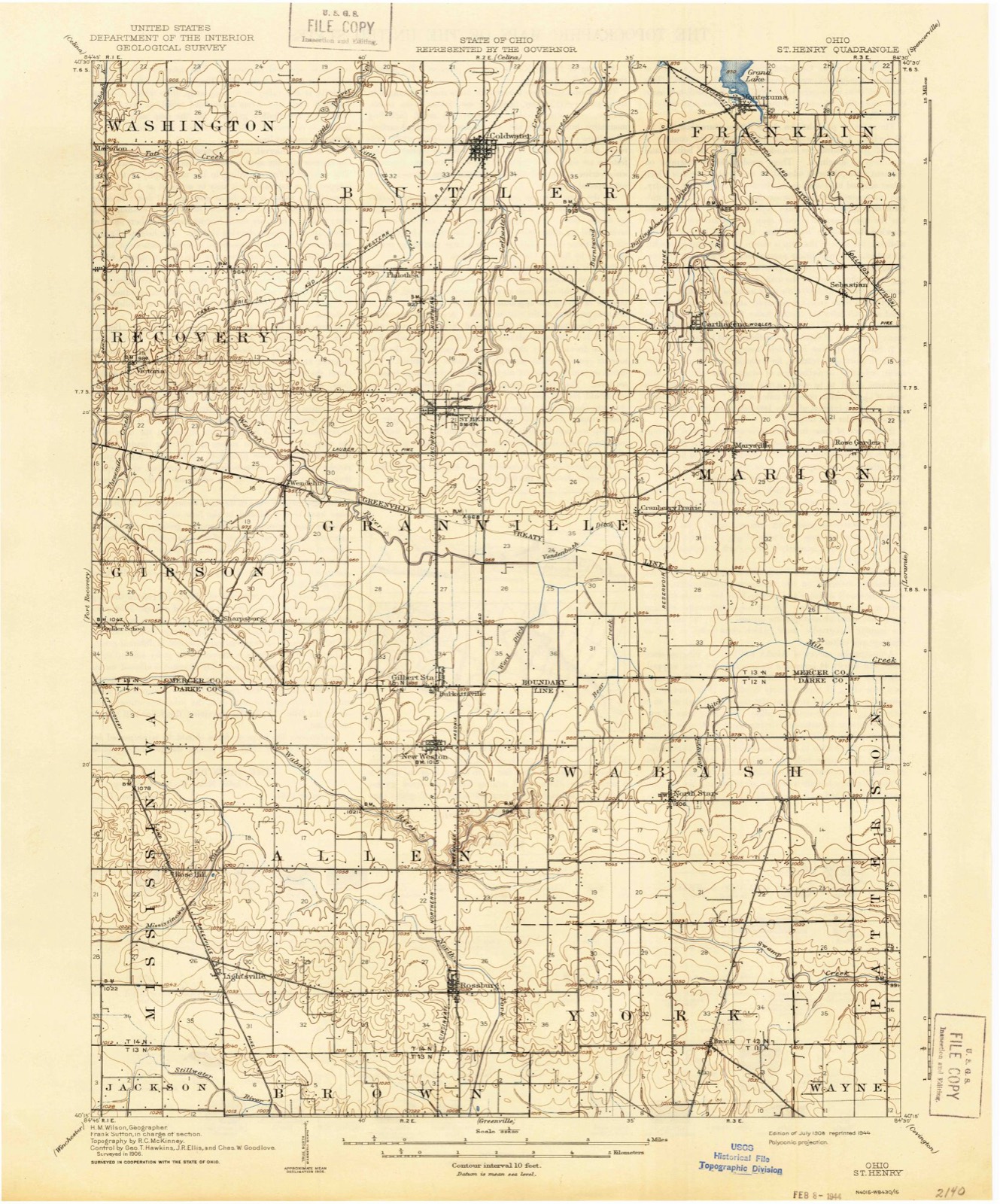
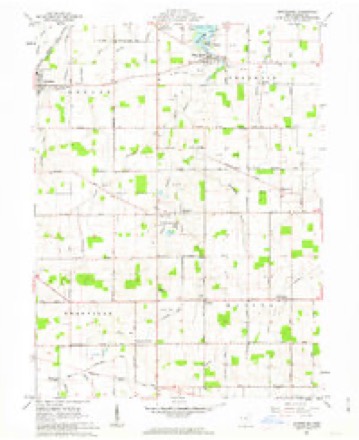
13 topographic sheets cover this place, the earliest surveyed in 1908 and the latest in 1986. It stands in Granville Township. It lies in ZIP code area 45883. The Survey maps it on the Montezuma quadrangle.
Then and now
1908 to 1986The same ground, surveyed 78 years apart. Drag the handle to wipe between them. Both sheets are United States Geological Survey originals; neither has been altered.

Topographic sheets covering this place
13 sheetsMatched by testing this settlement's coordinate against the published boundary of every sheet in the United States Geological Survey's historical collection. Each opens the scanned sheet at the Survey.
- 1908 USGS St. Henry quadrangle1:62500
- 1953 USGS Muncie quadrangle1:250000
- 1953 USGS Muncie quadrangle1:250000
- 1953 USGS Muncie quadrangle1:250000
- 1953 USGS Muncie quadrangle1:250000
- 1953 USGS Muncie quadrangle1:250000
- 1956 USGS Muncie quadrangle1:250000
- 1961 USGS Montezuma quadrangle1:24000
- 1961 USGS Montezuma quadrangle1:24000
- 1961 USGS Montezuma quadrangle1:24000
- 1986 USGS Piqua quadrangle1:100000
- 1986 USGS Piqua quadrangle1:100000
- 1986 USGS Piqua quadrangle1:100000









In the county-history sources
2,021 words on this townshipHistory of Mercer County, Ohio, and Representative Citizens, published 1907 names this settlement in its chapter on Granville Township. These are the passages that mention it, exactly as the scans read.
The township is hounded on the north by Butler township, on the east by Marion township, on the south by Darke County and on the west by Gibson and Recovery townships. It is practically six miles square ; the southern and western lines are slightly irregular. The surface of the township is generally low and level, with an extended basin in the central eastern portion, known as Cranberry Prairie. This prairie was orig'inally something of a marsh hut in the years since the settlement of the township it has undergone a wonderful change. The dredging of the Wabash River, which cost many thousands of dollars, has reclaimed all this waste land, which has become the finest farming section of the township. In this locality the Wabash River begins to assume an important aspect; its source is some distance west, on the line between Darke and Mercer counties in the Hog Prairie, which at the present time is all farm land. The land of Granville township is highly productive and is in an advanced state of cultivation. All kinds of grain are grown in abundance, but the soil is best suited to the rais- ing of corn. In 1881 this township had 10,452 acres of arable land; 438 acres of meadow land; and 13,325 acres of woodland. In 1906 there were 13,179 acres of land under cultivation, 2,624 acres of pasture land, 3,891 acres of woodland and 1,829 acres of waste land. Nearly all the original woodland has been cleared and is now under cultivation. Farms of 40 and 80 acres extent predominate; some men own farms of 160 acres, and Judge Dwyer, of Dayton, Ohio, owns over 400 acres of the Cranberry Prairie, all in one farm, but these are exceptions to the rule. One of the first gas-wells in the county was drilled on the Cranberry Prairie, on land owned by Judge Dwyer, and a good supply of gas was found. Afterwards a large gas territory was opened up in Mercer County, which supplied Dayton, Troy, Piqua and other towns with gas for fuel and light for a number of years.
Passage source: History of Mercer County, Ohio, and Representative Citizens, published 1907.
Among the earliest settlers of Granville township, in and around St. Henry, were the families of Henry, Bernard and James Romer, all of whom settled here when the township was an unbroken wilderness. Henry Bruns and his wife came to the county in 1827 and settled in this township; their son, Bernard Bruns, was an infant at the time; Henry Beckman was a pioneer business man of Granville township as early as 1839. The descendants of the Bruns, Beckman and Romer families are numerous throughout the township and represent the leading business interests of St. Henry and Granville township to-day. There is scarcely an industry in St. Henry that has not connected with it a member of one of the above named families. Christian Stelzer settled in the township in 1833; his son Casper was born here December 25, 1837. William J. Stetcher has lived here since 1859; his parents, Casper Stetcher and wife, came here in 1833. J. B. Drahman settled here in 1836. Joseph Robbins, an early pioneer of this township, was born in Alsace, France, and settled in Mercer County in 1839. John E. Uhlenhake settled here in 1844 and George A. Mueller, in 1846, while John Shaner came to this section in 1848. Sebastian Gebele settled here in 1849 and Harman Savert in 1854. The Hemmelgarn family came to the township at an early date and located near the settlement of Cranberry Prairie. Joseph Rammel was another early settler of German nativity. Of the English-speaking people who settled in Granville township, Alexander Grant, James Grant, William Franklin, Landon Bennett, John Wright, H. E. Franklin, Lot Timbrell, James Dunwoody and Nathaniel Hewitt were among the first settlers. These and many others came to Granville township in an early day and helped to subdue the wilderness. Their descendants are now enjoying the results of their labors.
Passage source: History of Mercer County, Ohio, and Representative Citizens, published 1907.
Are small settlements of Granville township - the former near the eastern boundary and the latter on the western line. Each has a Catholic Church. At Cranberry Prairie, B. J. Bertke has a general store, while Joseph Doner conducts a blacksmith shop.
Passage source: History of Mercer County, Ohio, and Representative Citizens, published 1907.
Machine-read from a century-old scan, so expect the errors a machine makes: misspelled names, dropped words, stray characters.
Read the whole chapter on Granville Township - it names this place 1 more 1 time.
Specimens collected near this place
12 of 98 shownRegional context, not property-specific evidence. Museums hold 98 specimens collected within 10 miles of Cranberry Prairie between 1886 and 1962: 72 Animalia, 24 Fungi, 1 Plantae, 1 Unrecorded. 12 distinct Species records are shown. Collected by A. D. Selby, C. Clark, Clark, C. (Clarence) and others. Each is a physical object with a catalogue number, and each entry opens the museum's record. This is what was collected and kept, not a survey of what lives here - nothing can be concluded from a species being absent.
| Image | Species | Year | Collected by | Where, as recorded |
|---|---|---|---|---|
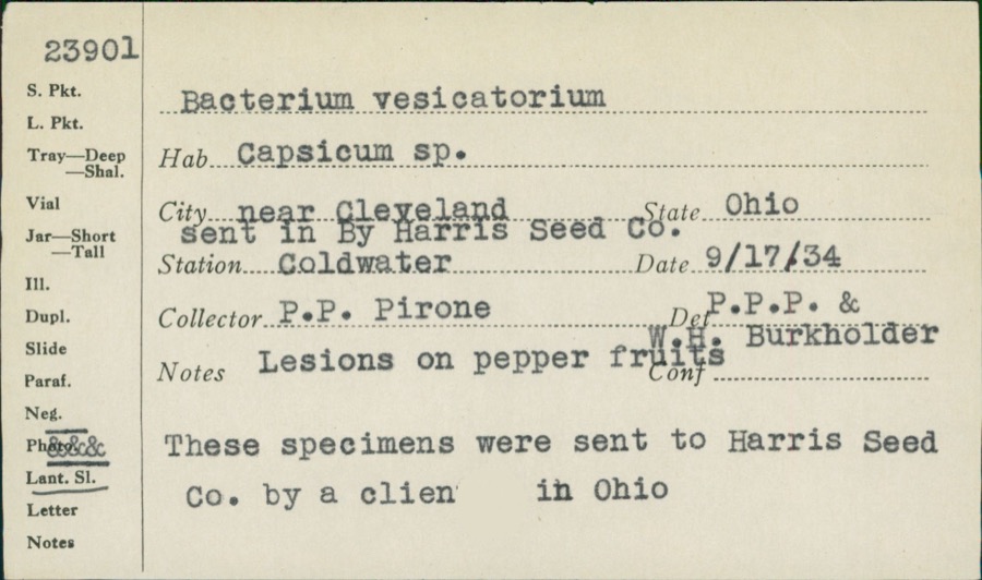 | unnamed | 1934 | P. P. Pirone | Coldwater |
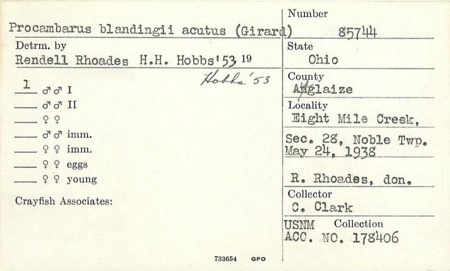 | Procambarus blandingii (Harlan, 1830) | 1938 | C. Clark | Eightmile Creek, Noble Township, S28 |
 | Umbra limi (Kirtland, 1840) | 1886 | Meek and Harris | Montezuma |
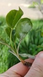 | Podosphaera leucotricha (Ellis & Everh.) E.S.Salmon | 1906 | Selby A. D. | Sharpsburg |
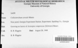 | Colletotrichum cereale Manns | 1908 | Selby A. D. | Sharpsburg |
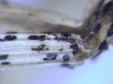 | Colletotrichum graminicola (Ces.) G.W.Wilson | 1908 | Selby A. D. | Sharpsburg |
| Glomerella graminicola D.J.Politis | 1908 | A. D. Selby | Sharpsburg. | |
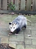 | Didelphis virginiana virginiana Kerr, 1792 | 1911 | L. L. Walters | Ft Recovery, 4 mi SE |
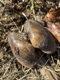 | Pyganodon grandis (Say, 1829) | 1913 | Goodrich, Calvin | Fort Recovery(3 mi E) |
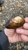 | Strophitus undulatus (Say, 1817) | 1913 | Goodrich, Calvin | St Henry |
 | Chara schweinitzii (A.Braun) Kütz., 1857 | 1920 | Collector unknown | Lake St. Mary, south of South Side |
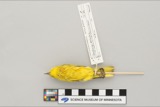 | Dendroica petechia aestiva (J.F.Gmelin, 1789) | 1928 | Homer F. Price | Celina, Grand Reservoir |
All 98 specimens within 10 miles, at the Global Biodiversity Information Facility.
Nearest settlements
The eight closest, with where each one stands in the county. Distances are straight-line, computed from the Geographic Names Information System coordinates.
| Map | Place | Distance | Sheets |
|---|---|---|---|
| Cassella | 1.9 miles | 13 | |
| Carthagena | 3.2 miles | 13 | |
| Saint Rosa | 3.5 miles | 13 | |
| Saint Henry | 3.6 miles | 12 | |
| Burkettsville | 4.3 miles | 12 | |
| Maria Stein | 4.7 miles | 13 | |
| Sebastian | 4.9 miles | 13 | |
| Steinman (historical) | 4.9 miles | 15 |
Provenance
This settlement is recorded in the Geographic Names Information System as feature 1056846. The sheet list is computed by point-in-boundary test against the United States Geological Survey's historical topographic inventory. Both are works of the United States government and carry no copyright under 17 U.S.C. 105.
Specimens. Global Biodiversity Information Facility (GBIF), https://www.gbif.org/. Only records licensed CC0 or CC BY are used. Records licensed CC BY-NC are excluded because this site carries advertising. Images are checked individually and any whose licence is non-commercial, no-derivatives or unreadable is refused.