 Block
Block
Cumberland, Ohio
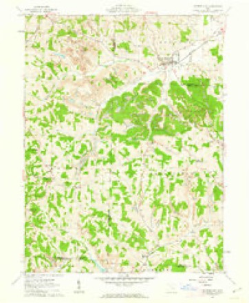
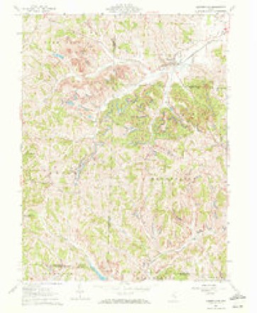
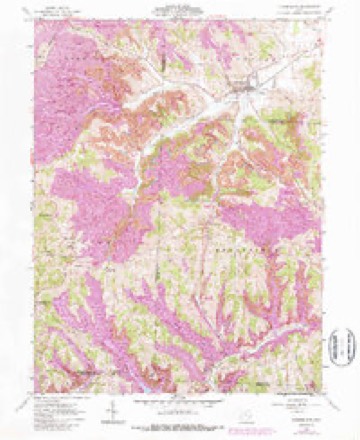
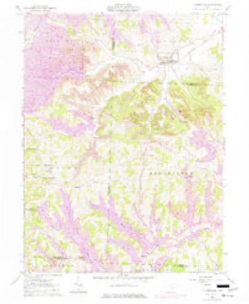
14 topographic sheets cover this place, the earliest surveyed in 1911 and the latest in 1994. It stands in Spencer Township. It lies in ZIP code area 43732. It stands on Rannells Creek. The Survey maps it on the Cumberland quadrangle. 317 people lived here at the 2020 count. It stands 843 feet above sea level.
Population over time
2 figuresCumberland fell from 367 to 317 between 2010 and 2020. These are the recorded population figures Wikidata holds for this place, reached through the Geographic Names Information System number this page is keyed on rather than by name, so they belong to this place and not to another of the same name. Most are census counts, but not all are: an early figure may be a founding or settlement estimate. The change column is computed, and is left blank where more than 20 years separate a figure from the one before it, because a gap that long is not a change between two counts.
| Year | People | Change |
|---|---|---|
| 2010 | 367 | |
| 2020 | 317 | -50 (-14%) |
Then and now
1911 to 1994The same ground, surveyed 83 years apart. Drag the handle to wipe between them. Both sheets are United States Geological Survey originals; neither has been altered.
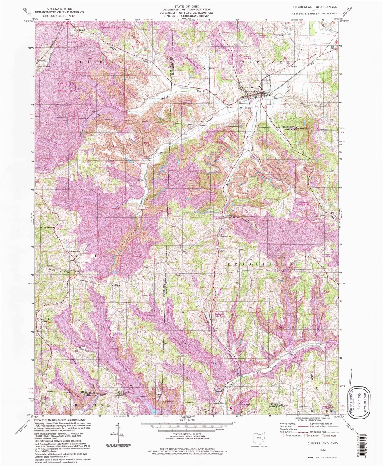
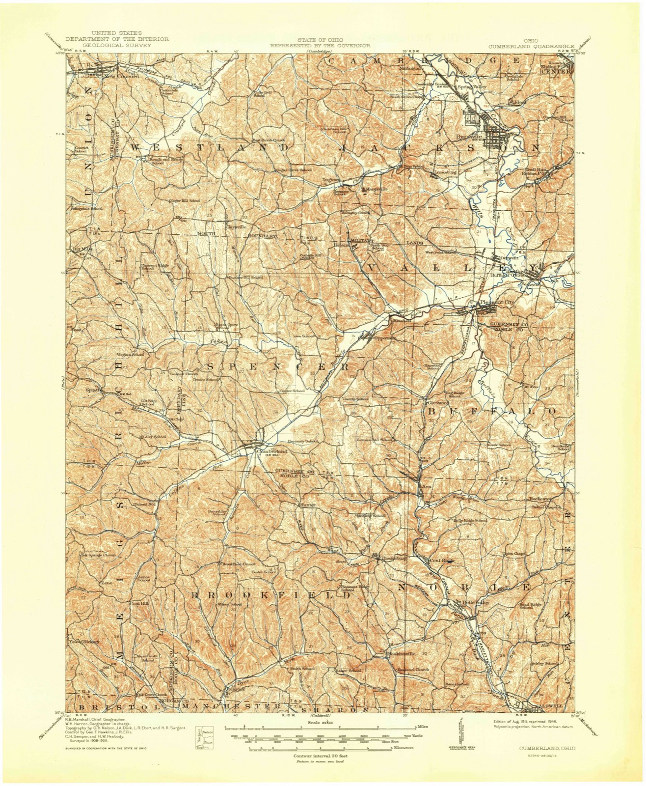
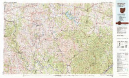
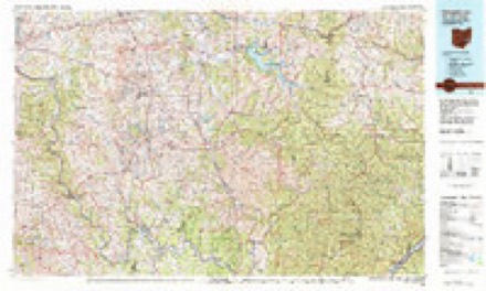
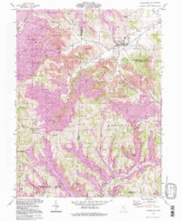
Topographic sheets covering this place
14 sheetsMatched by testing this settlement's coordinate against the published boundary of every sheet in the United States Geological Survey's historical collection. Each opens the scanned sheet at the Survey.
- 1911 USGS Cumberland quadrangle1:62500
- 1911 USGS Cumberland quadrangle1:62500
- 1949 USGS Clarksburg quadrangle1:250000
- 1956 USGS Clarksburg quadrangle1:250000
- 1956 USGS Clarksburg quadrangle1:250000
- 1961 USGS Clarksburg quadrangle1:250000
- 1961 USGS Cumberland quadrangle1:24000
- 1961 USGS Cumberland quadrangle1:24000
- 1961 USGS Cumberland quadrangle1:24000
- 1961 USGS Cumberland quadrangle1:24000
- 1980 USGS Senecaville quadrangle1:100000
- 1980 USGS Senecaville Lake quadrangle1:100000
- 1988 USGS Clarksburg quadrangle1:250000
- 1994 USGS Cumberland quadrangle1:24000





In the county-history sources
3,281 words on this townshipPortrait and Biographical Record of Guernsey County, Ohio, Containing Biographical Sketches of Prominent and Representative Citizens of the County, Together with Biographies and Portraits of All the Presidents of the United States, published 1895 names this settlement in its chapter on Spencer Township. These are the passages that mention it, exactly as the scans read.
When a railroad was needed, $60,000 was contributed by this people, and two citizens, W. H. and C. B. Stevens, gave their whole time and service to the enterprise, which has proven a success. This people also contributed the sum of $10,000 to the Bellaire, Zanesville <fe Cincinnati Railway, which passes through the southwest corner of the township. The finest and best-furnished and arranged school building in the county is found in this township. The most beautiful church m the county is in this township, in the village of Cumberland, which has a population of eight hundred, the only town in the township. Three ministers are supported, with salaries averaging $1,000 per annum each, and services are held twice each Sunday by each pastor.
Passage source: Portrait and Biographical Record of Guernsey County, Ohio, Containing Biographical Sketches of Prominent and Representative Citizens of the County, Together with Biographies and Portraits of All the Presidents of the United States, published 1895.
Whenever an honest man has been wanted for county service, the people have never been disappointed in selecting from Spencer Township. Up to 1895 James Wharton, Thomas Mackey and Bennett Roseman have held the office of Commissioners from this township, and it is to the eflforts t>f Bennett Roseman, whose uncompromising integrity and outspoken persistence make him the enemy of all sorts of corruption, that Guernsey County owes its possession of the finest court house in the State, and the one built at the least cost. He also managed the building of the schoolhouse in Cumberland. James Abell and Joshua Gregg have been County Treasurers; David Needham, Matthew B. Casey and Walter Barnett have been Sheriffs. Rodolph Thomas and John Casey, Recorders; Howard Mackey, Prosecuting Attorney; Charles Barnes, Coroner; James McMahon, Representative; Robert Savage, State Senator; and J. E. McClelland, Auditor. While in politics the township has ever been almost solidly with the Republican or its ancestral parties, yet no political "boss" ever presumed to manipulate the people's votes without coming to a speedy and inglorious defeat.
Passage source: Portrait and Biographical Record of Guernsey County, Ohio, Containing Biographical Sketches of Prominent and Representative Citizens of the County, Together with Biographies and Portraits of All the Presidents of the United States, published 1895.
In 1795 Reuben Atchison came with the purpose of securing a home, but did not permanently locate until a few years later. In 1806 the records show that a Mr. May made an entry and some improvements on land now owned bj' Joseph Covert, which was long known as " May's deadening." This man did not live to bring his family from the East. In 1808 John Latta entered the land now owned by the Cleary heirs. He became the first Justice of the Peace after the oiganization in 1818. After Latta came a Mr. Wolf, who, assuming squatter's rights, built a small cabin. In 1809 Finley Collins came from Virginia and entered a part of the land now owned by I. L. Young. The next permanent settler was Col. Thomas Bay, who came in 1812, and thus began the extensive clearings that attracted the strong class of pioneers. In a few years the eight sons of Colonel Thomas, viz., William, Thomas, Benjamin, Robert, Samuel, John, Archibald and James, settled near each other, and their selections at this late date are said to be the best ever made by a single family in the county of Guernsey, and their presence as citizens was a valuable acquisition for the future growth of the pioneer colony. From 1812 to 1817 came Thomas N. Muzzy, of Spencer, Mass., who built the first mill, taught the first school, and started the first temperance society; next came Eli Bingham, who built the first brick house; then David Beach and his brother Julius, Joseph Rannels, James Conner, Andrew Wharton, John Castle, Andrew Kells, John Hammond, from Connecticut; and William Llewellyn, from Wales. Mr. Muzzy, at the organization of the township, had the honor of naming it after the town he came from in the East. Before 1820 about fifty families were distributed over the township, and the necessities growing out of a community of interests and the common division of labor called for mechanics. Joseph W. Marshall, Sr., of Greene County, Pa., built a tannery in the eastern part of the township in 1818. All his work was done in a primitive manner, yet the product was noted for its good qualities. About the same time William .Stokes started a blacksmith shop near the present residence of James Cooper. Joseph Burt also commenced smithing on Garvin's Hill, in the eastern part of the township, and a forge was erected that year by a Mr. Moore near the present site of the roller-mills in Cumberland. The first tavern was opened by Stephen Charlott. James Annon was the first tailor. The second gristmill was erected by Benjamin Bay at the confluence of the Yoker and Buffalo Fork of Wills Creek. However, previous to the operation of water-mills, Andrew Kells rigged up a handmill near the Marshall tannery, where corn was ground for "mush and johnny-cakes." John Agnew started the first carding-machine.
Passage source: Portrait and Biographical Record of Guernsey County, Ohio, Containing Biographical Sketches of Prominent and Representative Citizens of the County, Together with Biographies and Portraits of All the Presidents of the United States, published 1895.
Machine-read from a century-old scan, so expect the errors a machine makes: misspelled names, dropped words, stray characters.
Read the whole chapter on Spencer Township - it names this place 8 more 8 times.
Fires near this place
9 since 2013Regional context, not property-specific evidence. The federal wildfire occurrence database lists 9 fires within 5 miles of Cumberland between 2013 and 2019, burning about 23 acres in total. None started naturally. None was recorded as arson. Distance is straight-line from the map coordinates, so a fire counted here may appear on a neighbouring settlement's page as well.
| Reported cause | Fires |
|---|---|
| Missing data/not specified/undetermined | 6 |
| Debris and open burning | 2 |
| Smoking | 1 |
The most recent of them, most recent first, with the day each was reported and the service that recorded it.
| Date | Cause | Size | Reported by | Name on the report |
|---|---|---|---|---|
| 6 April 2015 | Missing data/not specified/undetermined | 1.0 acres | Ohio Department of Natural Resources | 1623 |
| 5 April 2013 | Missing data/not specified/undetermined | 15 acres | Ohio Department of Natural Resources | not named |
| 22 April 2018 | Missing data/not specified/undetermined | under an acre | Ohio Department of Natural Resources | 14105 |
| 2 April 2014 | Missing data/not specified/undetermined | 3.0 acres | Ohio Department of Natural Resources | not named |
| 30 March 2015 | Missing data/not specified/undetermined | 1.0 acres | Ohio Department of Natural Resources | 1627 |
| 18 February 2017 | Missing data/not specified/undetermined | 2.5 acres | Ohio Department of Natural Resources | 7228 |
| 18 February 2017 | Debris and open burning | under an acre | Ohio Department of Natural Resources | 7786 |
| 17 November 2016 | Smoking | under an acre | Ohio Department of Natural Resources | 6565 |
Settlements close enough to share some of these fires:
Specimens collected near this place
11 of 16 shownRegional context, not property-specific evidence. Museums hold 16 specimens collected within 10 miles of Cumberland between 1902 and 1972: 11 Animalia, 4 Plantae, 1 Fungi. 11 distinct Species records are shown. Collected by Adams, W.; Adams, S., Arrowsmith, D., Gardner & Delzell, D. and others. Each is a physical object with a catalogue number, and each entry opens the museum's record. This is what was collected and kept, not a survey of what lives here - nothing can be concluded from a species being absent.
| Image | Species | Year | Collected by | Where, as recorded |
|---|---|---|---|---|
 | Daedalea ambigua Berk. | 1902 | Lloyd C. G. | Glenwood |
 | Desmognathus fuscus fuscus (Green, 1818) | 1930 | Walker, C. F. (Charles F.) | near Derwent, Valley Twp., Guernsey Co., Ohio |
 | Eurycea bislineata (Green, 1818) | 1930 | Walker, C. F. (Charles F.) | near Derwent, Valley Twp., Guernsey Co., Ohio |
 | Ambloplites rupestris (Rafinesque, 1817) | 1931 | Trautman, M. B. (Milton Bernard) & Foster, R. (Robert) | Wills Creek tributary, within central Jackson township, near Byesville, Jackson township |
 | Etheostoma blennioides blennioides Rafinesque, 1819 | 1931 | Trautman, M. B. (Milton Bernard) & Foster, R. (Robert) | Wills Creek tributary, within central Jackson township, near Byesville, Jackson township |
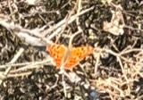 | Polygonia interrogationis (Fabricius, 1798) | 1942 | not recorded | Toledo |
 | Claytonia virginica L. | 1963 | H. Frontz | Westland Twp, section 5, along Crooked Creek 1 mi E of New Concord |
 | Trillium grandiflorum (Michx.) Salisb. | 1963 | Arrowsmith, D. | Westland, Twp. Sec. 5 |
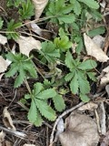 | Potentilla recta L. | 1965 | Adams, W.; Adams, S. | Westland Twp |
 | Quercus bicolor Willd. | 1966 | Moore, Tom | New Concord, 2 mi S, 1 mi E |
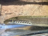 | Lampetra aepyptera (Abbott, 1860) | 1972 | Gardner & Delzell, D. | Mays Fork, adjacent SR 146, NW of Cumberland OH, Rich Hill Township |
All 16 specimens within 10 miles, at the Global Biodiversity Information Facility.
Mines and quarries near this place
5 within 5 milesRegional context, not property-specific evidence. The federal mineral resources record lists 5 workings within 5 miles of Cumberland: 3 producers, 2 past producers. 3 still produce. What was taken out: Stone, Crushed/Broken, Limestone, General, Clay. Distance is straight-line from the map coordinates, so a quarry counted here may appear on a neighbouring settlement's page as well.
| Where | Site | Commodity | Status | Recorded |
|---|---|---|---|---|
| Ava Pit | Clay | Past Producer | Sedimentary | |
| Guernsey Quarry | Limestone, General | Past Producer | Sedimentary | |
| Guernsey Quarry | Stone, Crushed/Broken | Producer | ||
| Ohio Power Pit | Stone, Crushed/Broken | Producer | ||
| Ohio Power Pit | Stone, Crushed/Broken | Producer |
Storms near this place
11 since 2001Regional context, not property-specific evidence. The National Weather Service names Cumberland in 11 storm reports between 2001 and 2023: 7 thunderstorm wind, 2 hail, 2 flash flood. No death or injury is recorded in these reports. Each account below is quoted exactly as the forecast office filed it, from the NOAA Storm Events Database, and each date opens the federal record of that event.
| When | Event | Place named | Harm | What the report says |
|---|---|---|---|---|
| July 2012 | Thunderstorm Wind | Cumberland | $75,000 | Law enforcement reported numerous trees and power lines down across the southern portion of the county. |
| July 2013 | Thunderstorm Wind | Cumberland | $25,000 | Law enforcement reported trees down. |
| July 2001 | Thunderstorm Wind | Cumberland | $5,000 | Thunderstorm winds downed several large trees. |
| July 2003 | Thunderstorm Wind | Cumberland | $3,000 | Numerous large trees down. |
| April 2023 | Thunderstorm Wind | Cumberland | $2,000 | A few wires were down in the city of Cumberland, OH. Time of damage estimated based on the radar. |
| June 2019 | Thunderstorm Wind | Cumberland | $1,000 | Trees were reported to be blown down in Cumberland. |
| June 2022 | Hail | Cumberland | - | A trained spotter reported hail just shy of an inch. |
| June 2022 | Thunderstorm Wind | Cumberland | - | A 911 Call Center reported trees down in this area. |
| May 2004 | Flash Flood | Cumberland | - | Route 146 flooded near Cumberland. And along Miller Creek at least until 8 PM EDT. |
| May 2004 | Flash Flood | Cumberland | - | Routes 83 and 600 flooded near Cumberland. |
| April 2001 | Hail | Cumberland | - | no account filed |
Newspapers printed here
0 digitised pages1 paper published in this town, digitised by the Library of Congress and free to read: 0 issues, 0 pages. Every page is searchable, so a name or a street can be looked for directly in what the town printed about itself at the time.
| Newspaper | Published |
|---|---|
| The Cumberland Echo | 1892 to 1952 |
What the paper printed
20,721 wordsFront pages of the local paper, read from the Library of Congress scans: 6 issues spread across its run from 1893 to 1899, 20,721 words in total. Each is reproduced on its own page, exactly as the recogniser returned it.
These pages read less well than anything else here, and the number is worth stating: about three words in four come through cleanly, against nine in ten for the building records. An 1896 broadsheet sets eight-point type in seven columns on microfilm, which is the hardest thing in this archive to read by machine. We tested our own recognisers against the Library's and they were not better, so the Library's text is what appears, with the wholly unreadable columns removed. Read it as a guide to what the paper covered, and follow the link to the scan before quoting anything.
| Issue | Paper | Length |
|---|---|---|
| 1893-09-21 | The Cumberland Echo | 4,085 words |
| 1893-10-12 | The Cumberland Echo | 3,785 words |
| 1893-10-26 | The Cumberland Echo | 2,991 words |
| 1893-11-16 | The Cumberland Echo | 3,826 words |
| 1893-12-14 | The Cumberland Echo | 3,902 words |
| 1899-02-23 | The Cumberland Echo | 2,132 words |
Nearest settlements
The eight closest, with where each one stands in the county. Distances are straight-line, computed from the Geographic Names Information System coordinates.
| Map | Place | Distance | Sheets |
|---|---|---|---|
| Opperman | 4.0 miles | 14 | |
| Bluebell | 4.8 miles | 14 | |
| Helena | 5.8 miles | 14 | |
| Claysville | 5.8 miles | 14 | |
| Fairview | 6.5 miles | 14 | |
| Pleasant City | 6.9 miles | 14 | |
| Marysville | 7.2 miles | 14 | |
| Buckeyeville | 7.3 miles | 14 |
Elsewhere
Matched on this settlement's Geographic Names Information System number rather than its name, so it cannot be a different place of the same name in another state.
| Wikipedia article on Cumberland | An encyclopaedic summary. Its text is share-alike, so it is linked here rather than copied. |
| Wikidata item Q2036253 | The structured record the population and elevation above come from. Public domain (CC0). |
Provenance
This settlement is recorded in the Geographic Names Information System as feature 1056854. The sheet list is computed by point-in-boundary test against the United States Geological Survey's historical topographic inventory. Both are works of the United States government and carry no copyright under 17 U.S.C. 105.
Wildfire. Short, Karen C. 2022. Spatial wildfire occurrence data for the United States, 1992-2020 [FPA_FOD_20221014]. 6th Edition. Fort Collins, CO: Forest Service Research Data Archive. https://doi.org/10.2737/RDS-2013-0009.6 Collected with United States Government funding and usable without additional permissions or fees.
Specimens. Global Biodiversity Information Facility (GBIF), https://www.gbif.org/. Only records licensed CC0 or CC BY are used. Records licensed CC BY-NC are excluded because this site carries advertising. Images are checked individually and any whose licence is non-commercial, no-derivatives or unreadable is refused.
Mines and quarries. USGS Mineral Resources Data System (MRDS) https://mrdata.usgs.gov/mrds/ A work of the United States government, no copyright under 17 U.S.C. 105.
Storms. NOAA National Centers for Environmental Information, Storm Events Database https://www.ncei.noaa.gov/stormevents/ A work of the United States government, no copyright under 17 U.S.C. 105. Narratives are quoted verbatim from the National Weather Service report and are not edited or summarised.