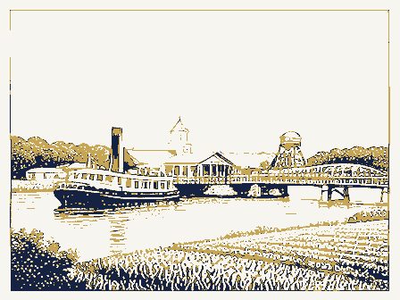
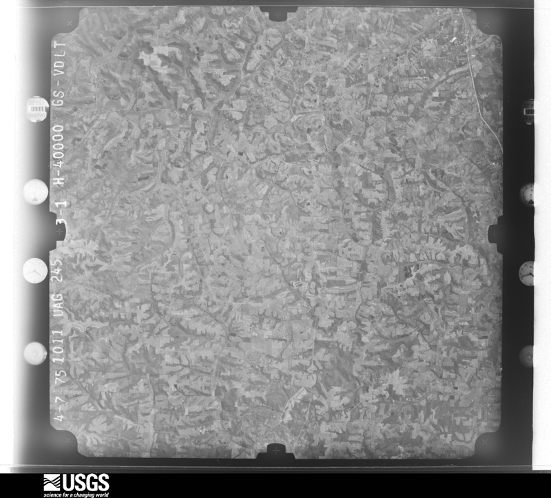
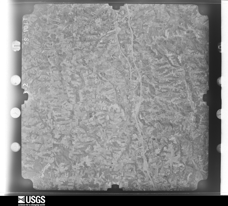
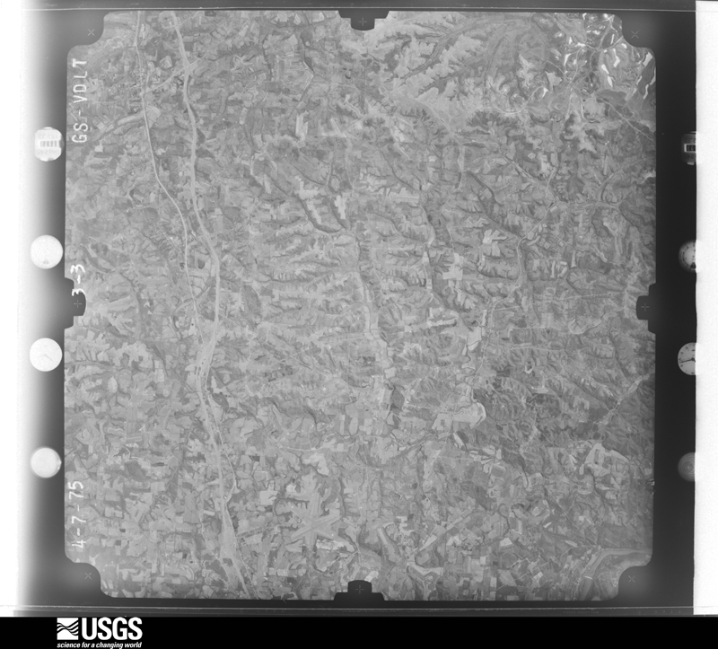
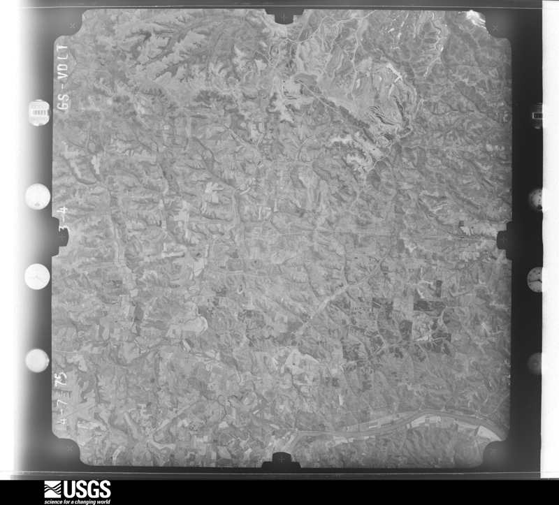
95 topographic sheets and 24 fire insurance
atlases across 4 places.
Research this county
This curated hub for Guernsey County, Ohio brings together the page's documented record links, visible map or image evidence where published, and routes to related local records.
Use the page's provenance and linked records to distinguish the source material from the site's navigation and summaries.
How should I cite it?
Open the original record, preserve its repository and identifier, then use the citation tool for this page as a path back to the source.
Where should I go next?
Follow the county or state hub for related places and records, then use the guide for a source-aware research sequence.
From the record
18 National Register listings, of which 1 are National Historic Landmarks · 44 businesses named in the fire insurance atlases from 1886 to 1948 · the 1911 county history tells 0 stories and names 0 people.
Ohio within the United StatesGuernsey County within Ohio
Explore by year
What the record shows
4 places in this county were surveyed for fire insurance: Cambridge, Byesville, Cumberland, Pleasant City, between 1886 and 1949.
24 fire insurance atlas(es) survive for the county. Topographic coverage is national; fire insurance survey reached only incorporated places with something worth insuring.
1,289 topographic sheet readings cover the county's settlements.
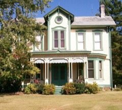
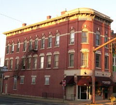
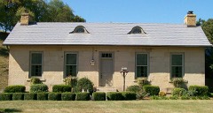
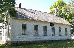
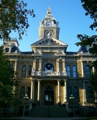
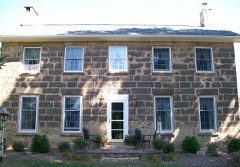
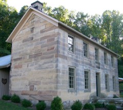
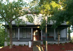
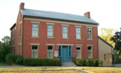
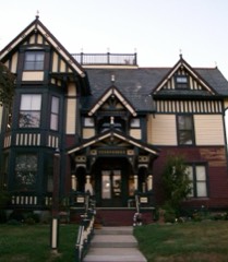
18 properties here are on the National Register of Historic Places, including 12 houses and farms.
7 of the 18 listings were added during the 1970s.
The Geographic Names Information System records 89 populated places in this county; 0 are covered by at least one topographic sheet.
6 public-domain county histories, 1883 to 1923, supply 65,984 words of narrative reproduced here in full.
Photographs
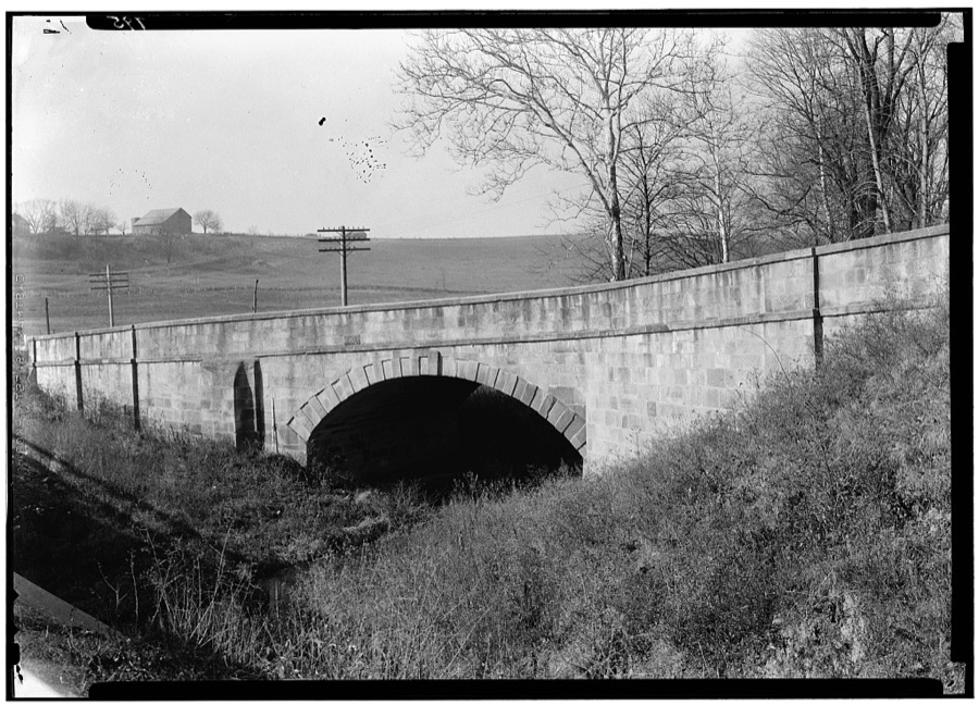
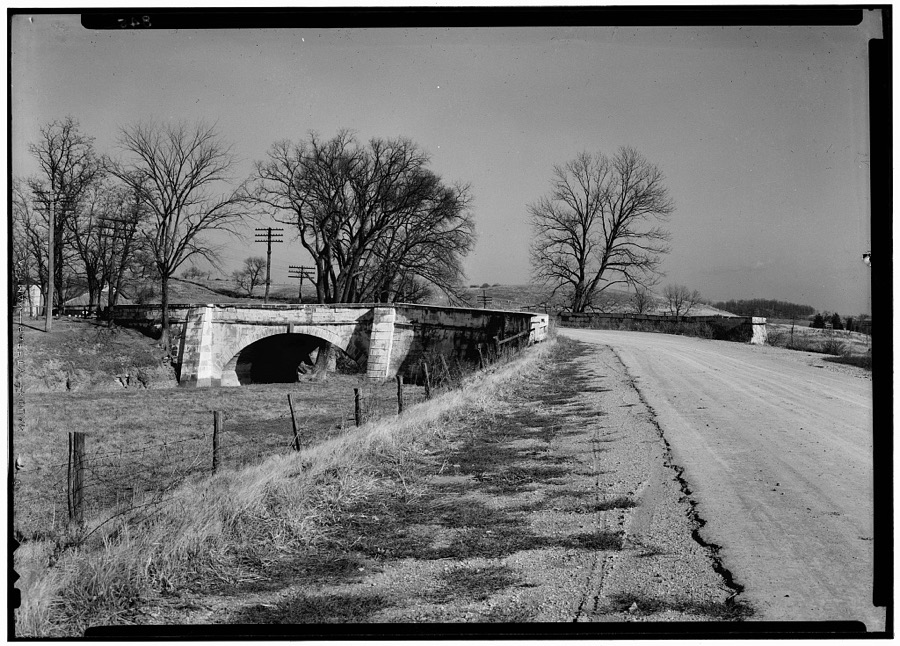
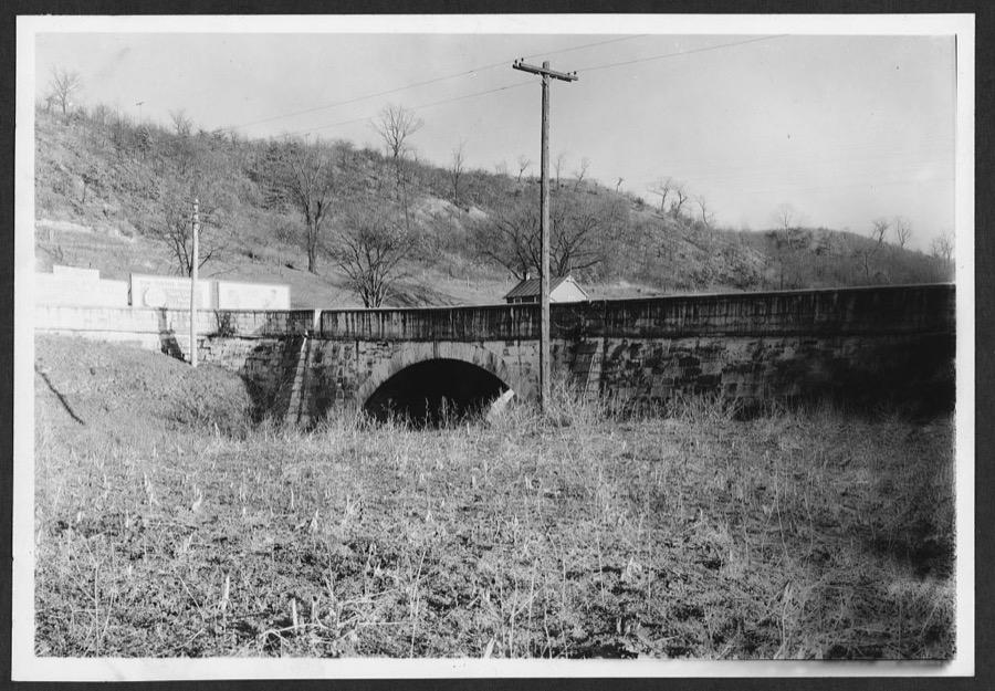
4 photographs,
Taken for the Office of War Information and
the Farm Security Administration, who photographed the country between
1935 and 1944. Works of United States government photographers, with no
known restriction on use. Each opens its catalogue record.
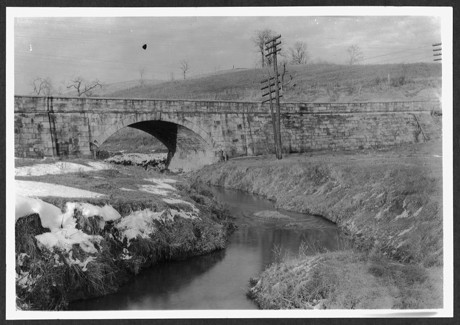
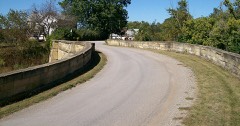
"S" Bridge, West of Cambridge, Cambridge, Guernsey County, OH Unattributed, . Library of CongressBridge on Old National Road, North of U.S. Highway 40 at Saltfork, Cambridge, Guernsey County, OH Unattributed, . Library of CongressBridge on Old National Road, West Cambridge on U.S. Highway 40, Cambridge, Guernsey County, OH Unattributed, . Library of CongressBridge, Middlebourne, Guernsey County, OH Unattributed, . Library of Congress
Places on the National Register
18
Every property in this county listed on the
National Register of Historic Places, with the year it was listed and the
federal nomination document.
Guernsey County holds 0 covered bridges on
the National Register, more than any other property type here. Each is a listed
structure with a federal nomination on file.
Digitised newspapers
6 issues
Sampled issues, machine-read from the
Library of Congress scan and published page by page, so every headline
and column is searchable text.
The Cumberland Echo
Cumberland, O. [Ohio], 1892 to 1952. Machine-read from the Library of Congress scan.
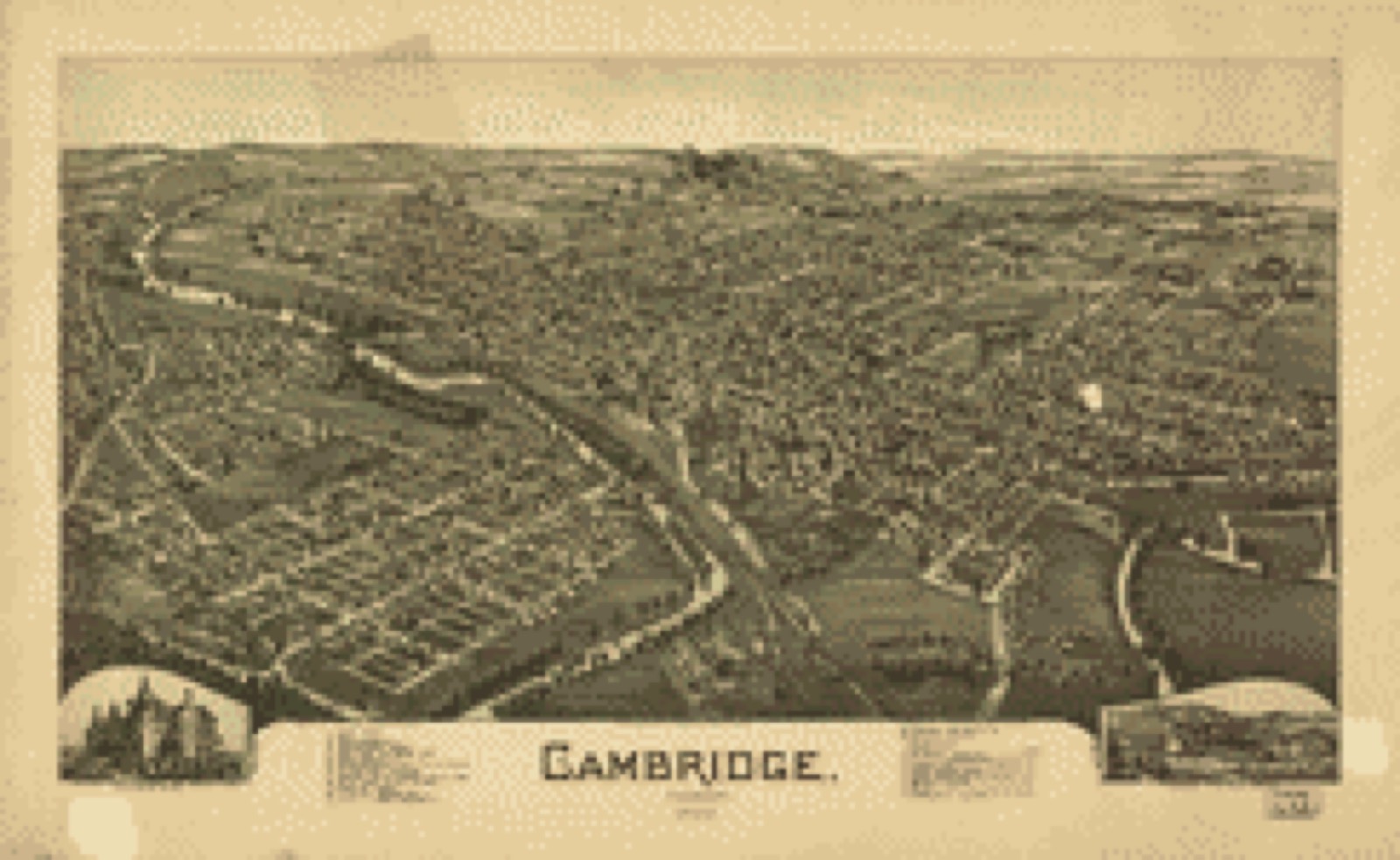
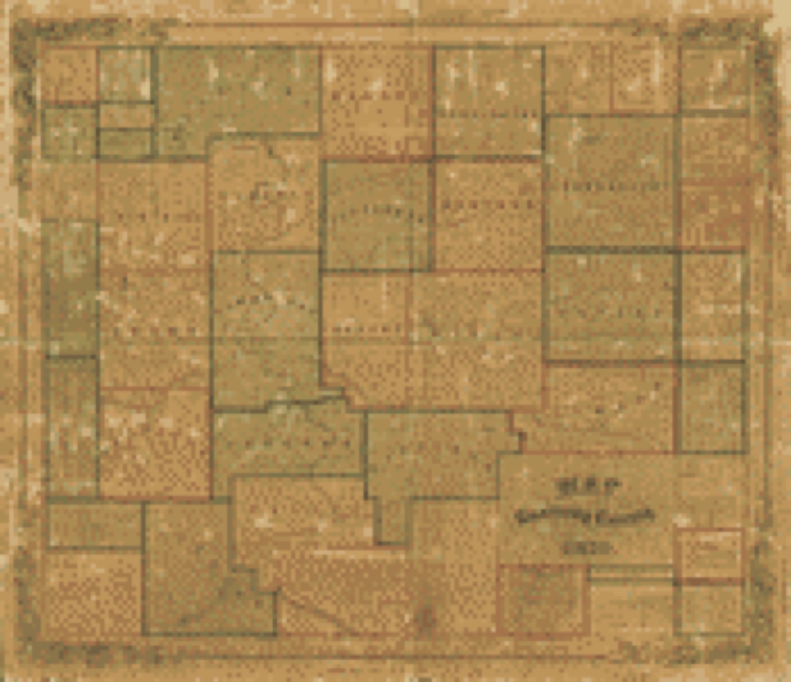
Drawn when these were printed as
single large sheets: the town seen from the air, and the county
divided into its farms with every owner named. Each opens the
original at the Library of Congress.
Bird's-eye view (1899) - Cambridge, Ohio 1899. Library of Congress.Land ownership map (1902) - Illustrated atlas of Guernsey County, Ohio. Library of Congress.Land ownership map (1855) - Map of Guernsey County, Ohio. Library of Congress.
Photographs from libraries nationwide
8 of 9 shown
Selected from the Digital Public Library
of America's 9 image records catalogued for this county. Every
one shown here carries a public-domain status or a licence that permits
reuse on a site that carries advertising; non-commercial, share-alike
and restricted images are excluded. The selection is spread across the
county's towns (at most eight per town), so no single institution's
bulk upload crowds out the rest. Each opens the holding library's
record, and
the complete set at the
Digital Public Library of America is one click away.
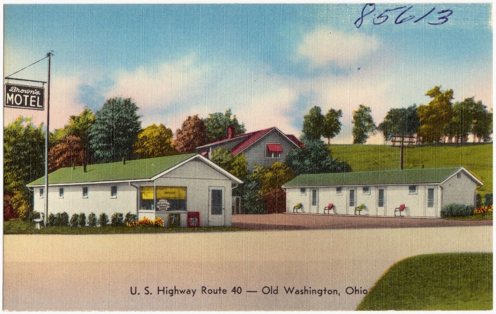
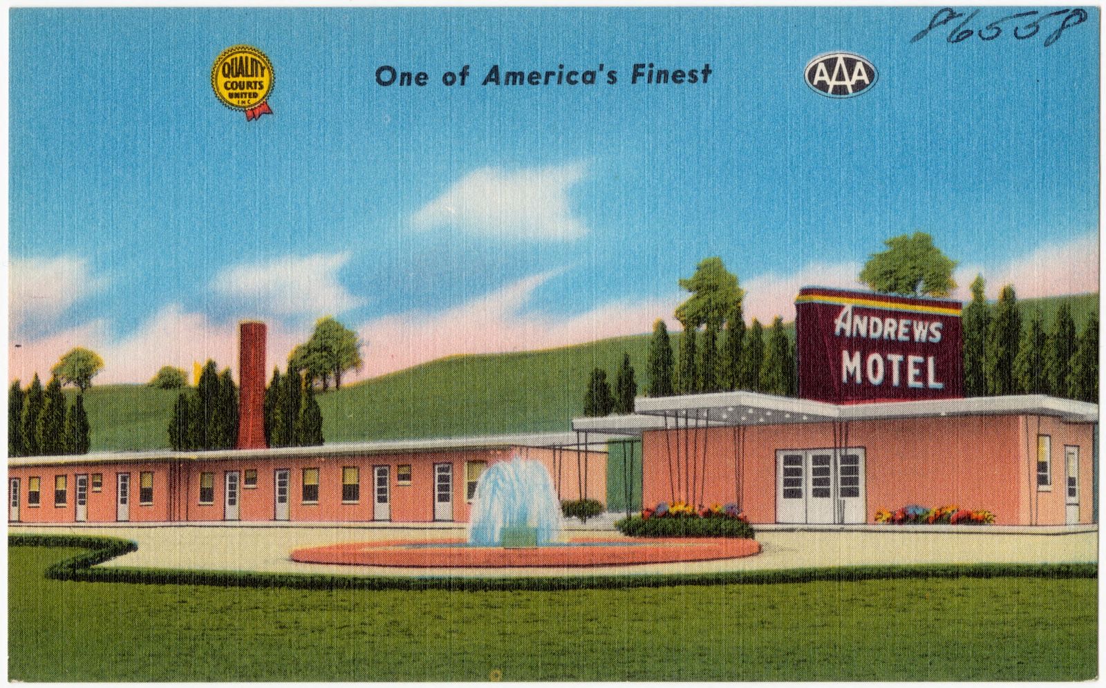
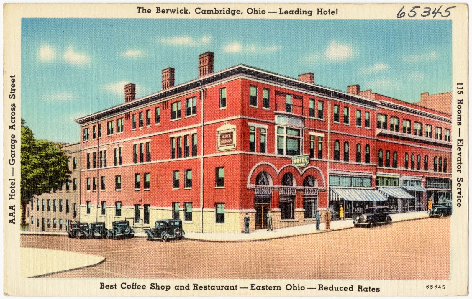
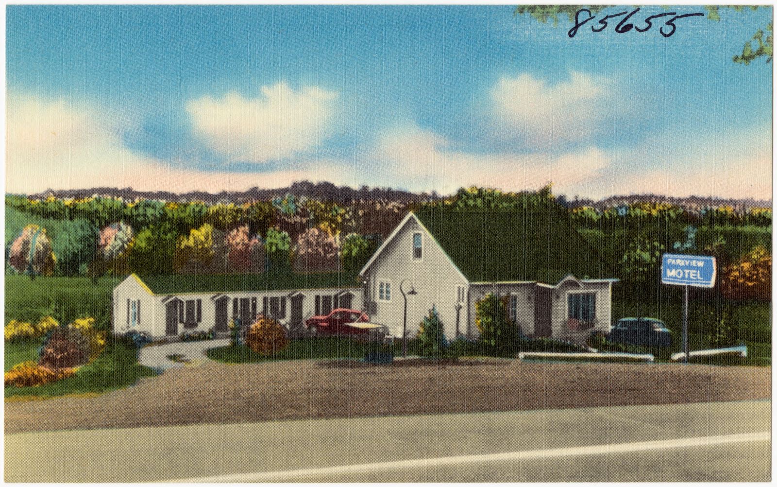
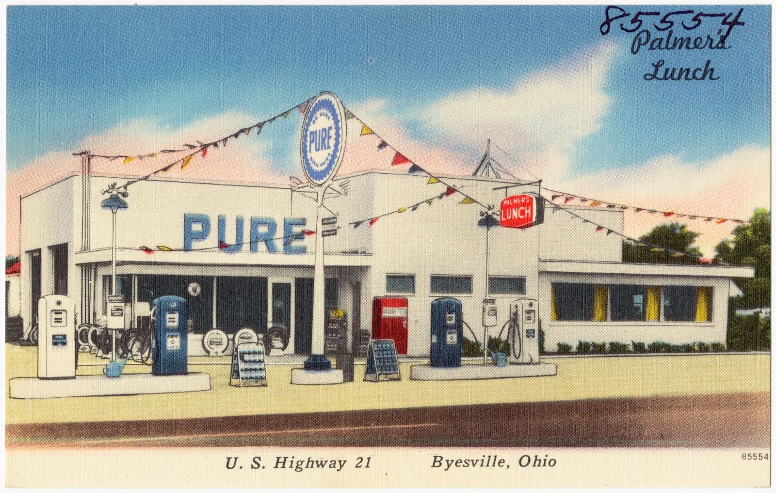
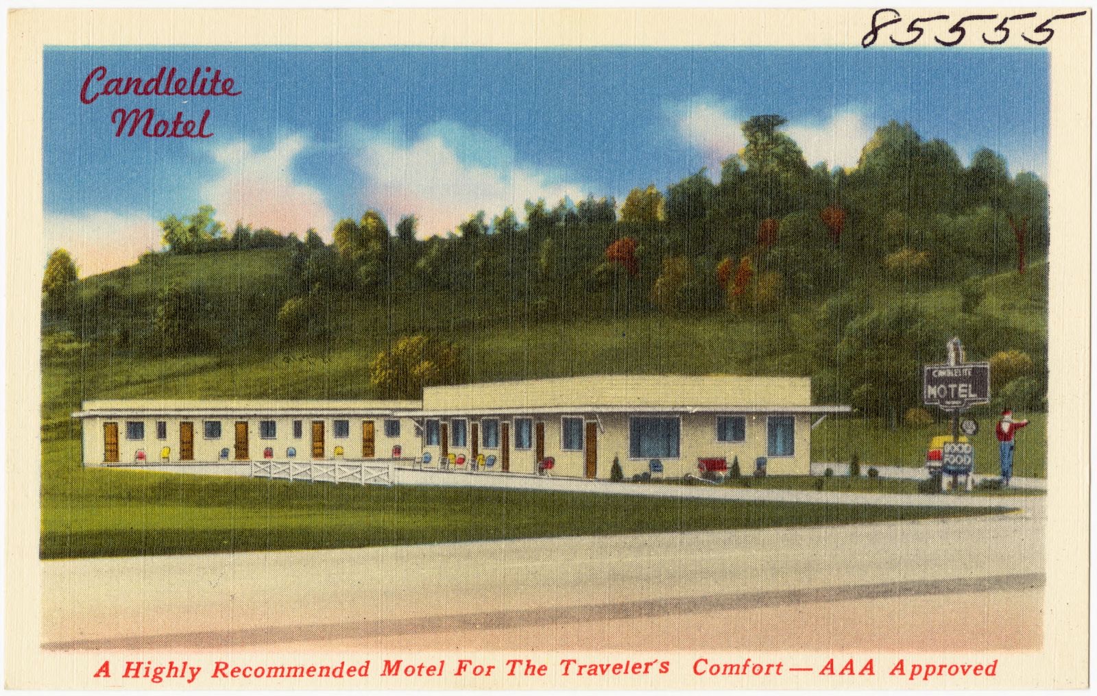
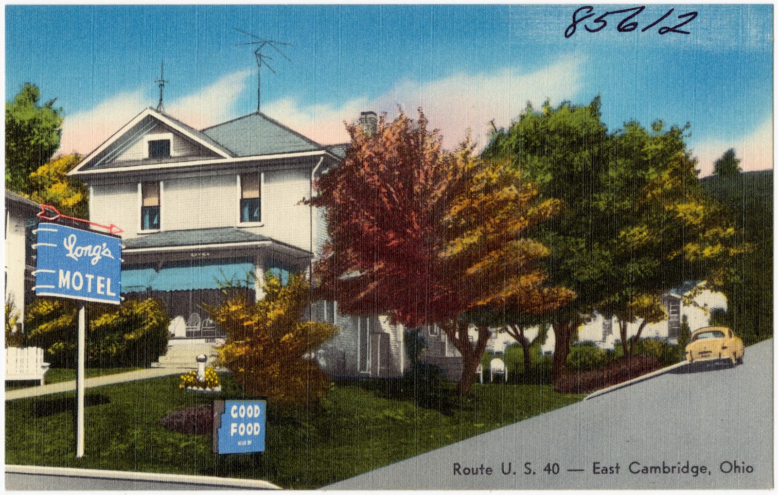
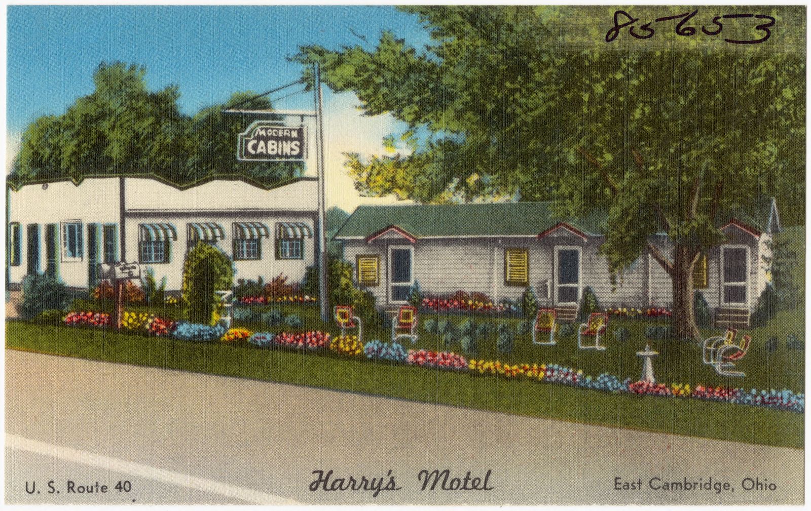
Brown's Motel, U.S. Highway Route 40 -- Old Washington, Ohio. Boston Public Library, via the Digital Public Library of America.Andrews Motel, one of America's finest, best coffee shop and restaurant -- East Ohio -- reduced rates. Boston Public Library, via the Digital Public Library of America.The Berwick, Cambridge, Ohio -- Leading Hotel, best coffee shop and restaurant -- East Ohio -- reduced rates. Boston Public Library, via the Digital Public Library of America.Parkview Motel. Boston Public Library, via the Digital Public Library of America.Palmer's Lunch, U.S. Highway 21, Byesville, Ohio. Boston Public Library, via the Digital Public Library of America.Candlelite Motel, a highly recommended motel for travelers comfort -- AAA approved. Boston Public Library, via the Digital Public Library of America.Long's Motel, Route U.S. 40 -- East Cambridge, Ohio. Boston Public Library, via the Digital Public Library of America.Harry's Motel, U.S. Route 40, east Cambridge, Ohio. Boston Public Library, via the Digital Public Library of America.
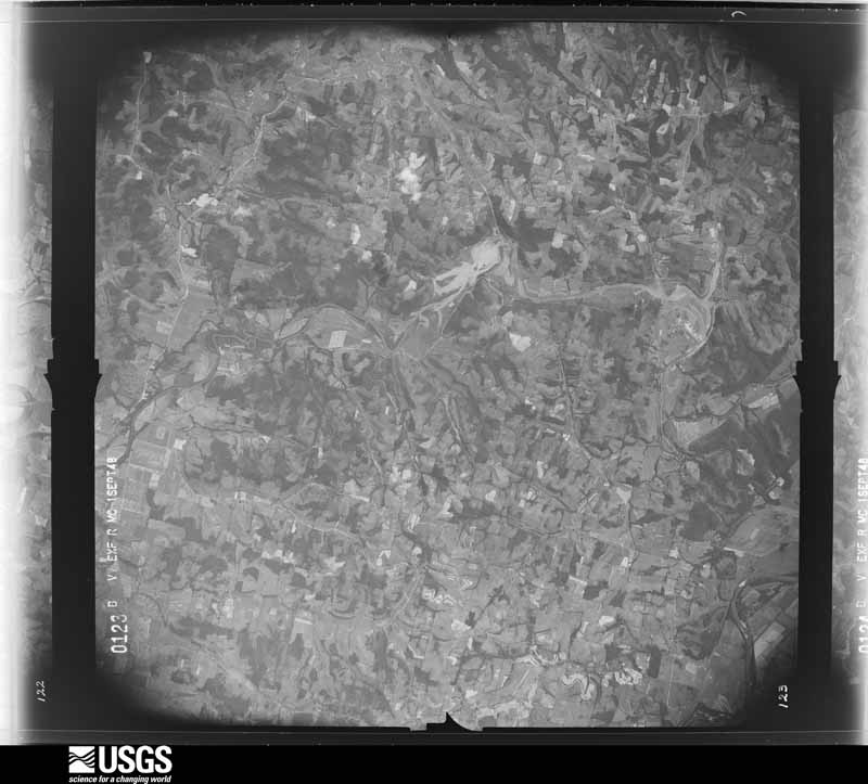
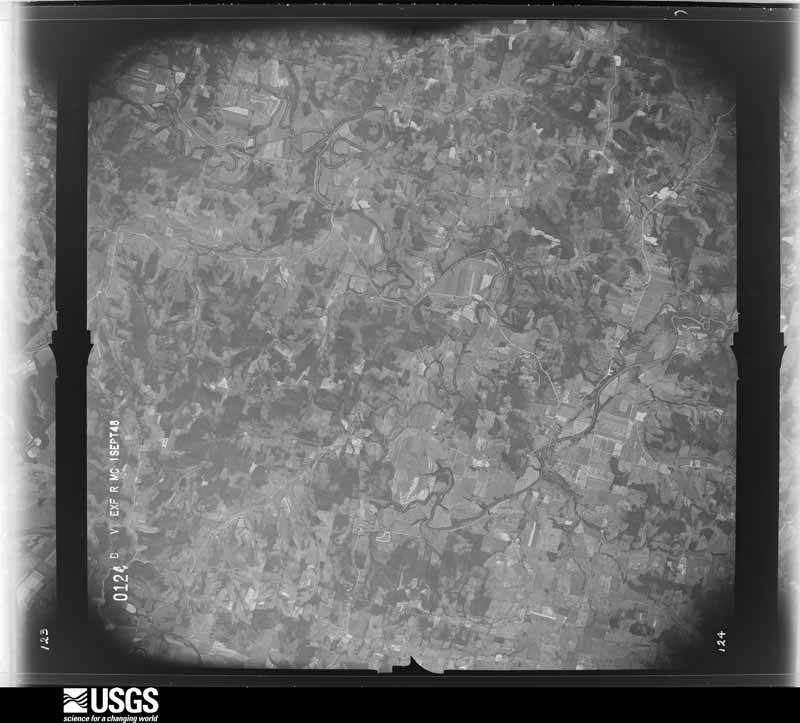
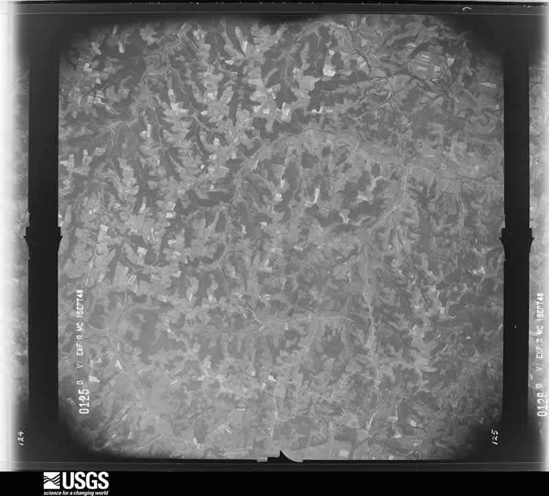
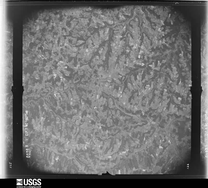
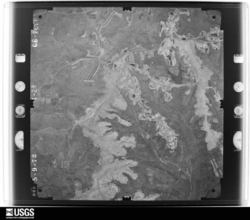
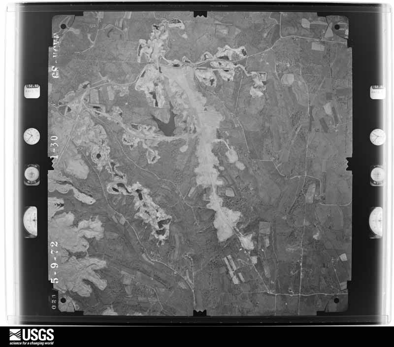
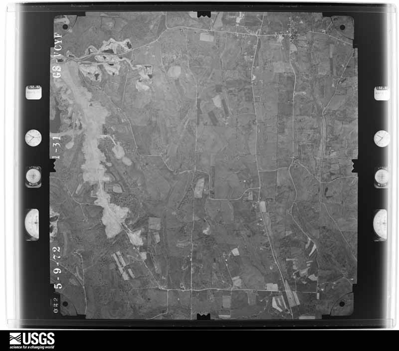
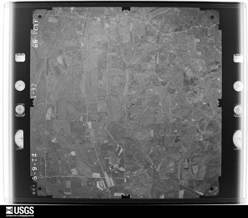
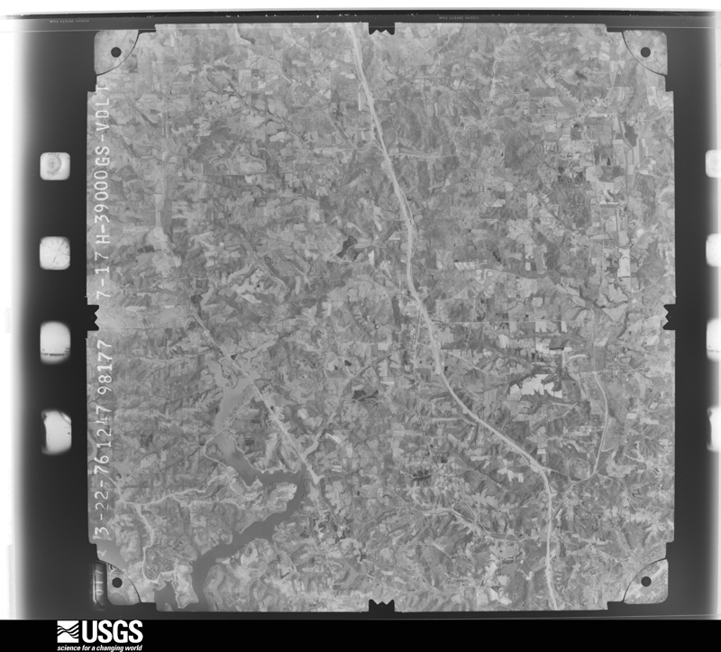
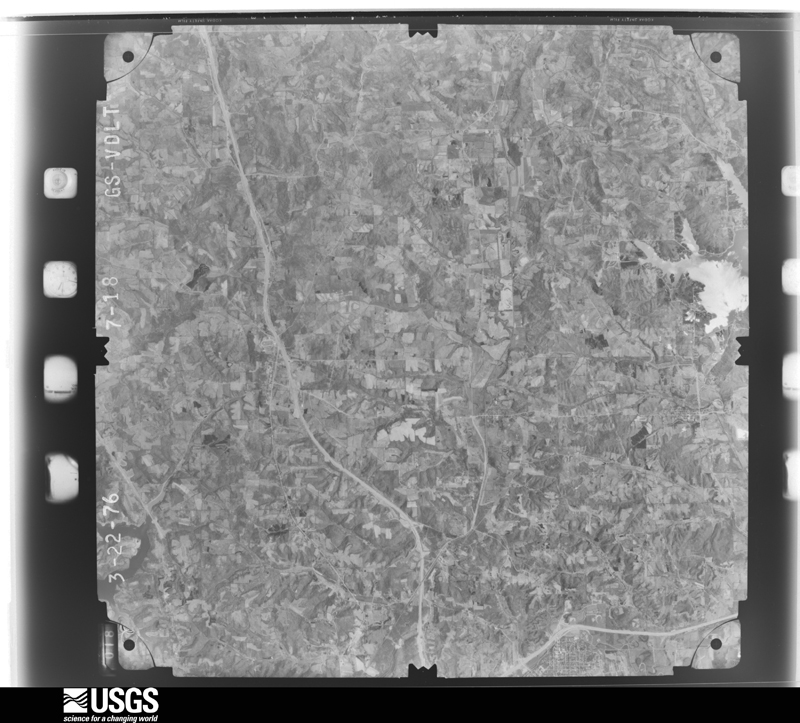
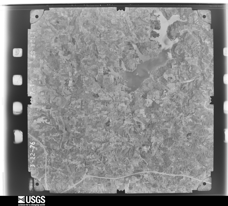
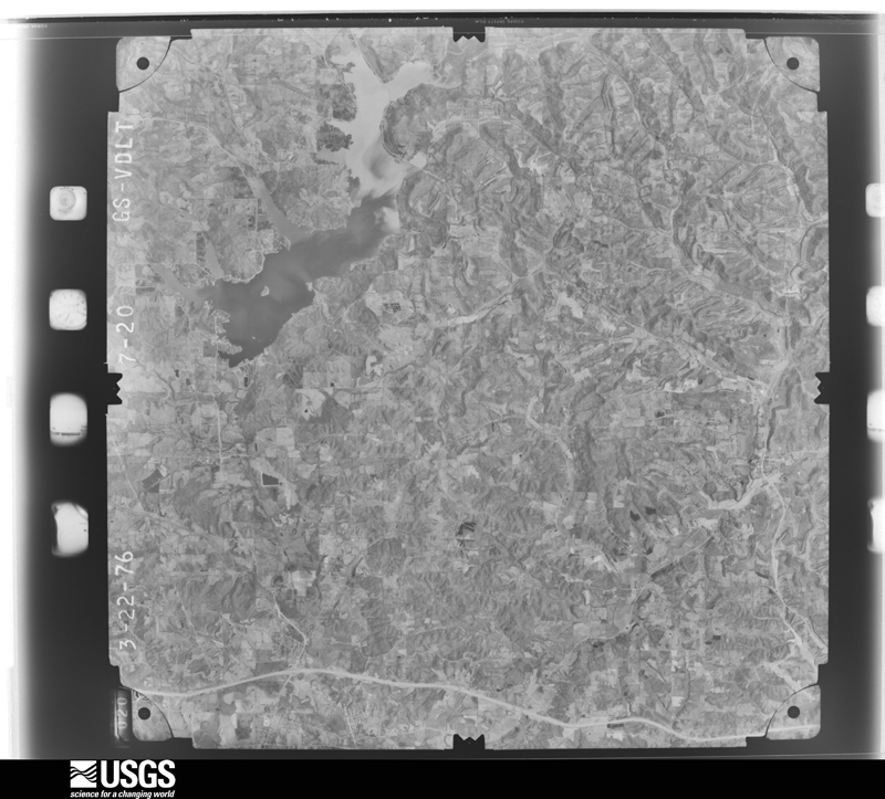
The county from the air
28 of 514 shown
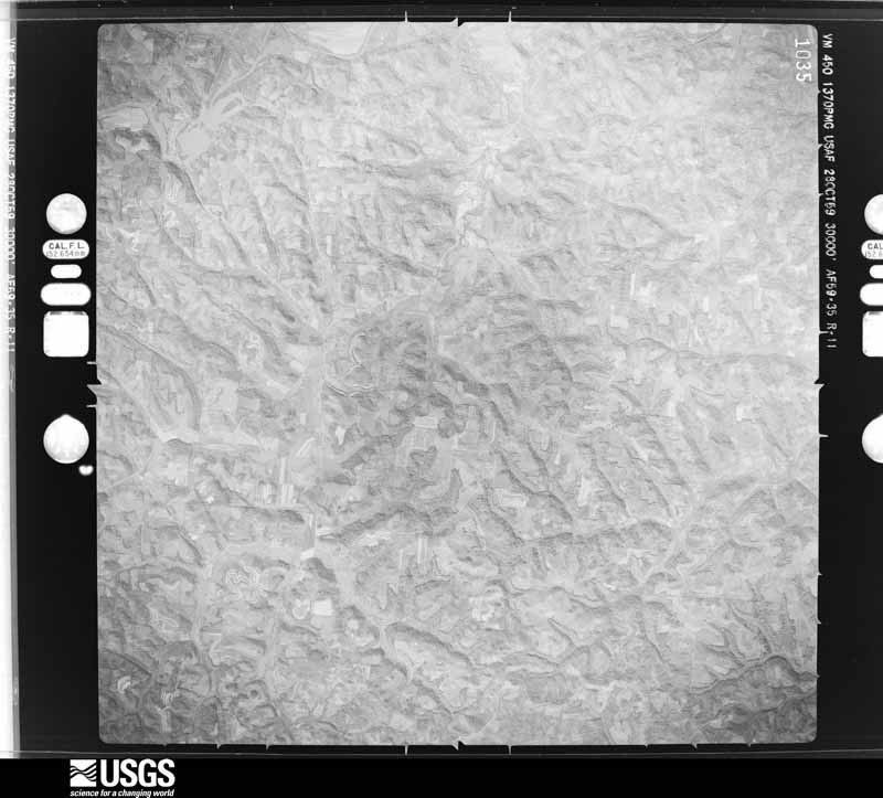
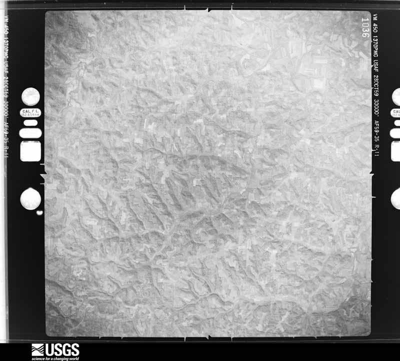
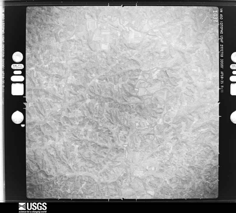
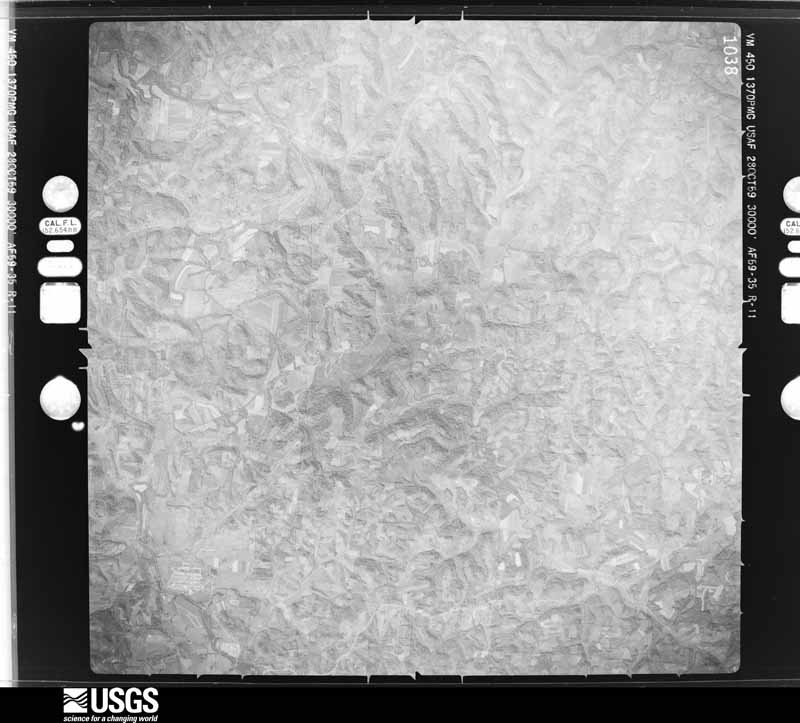
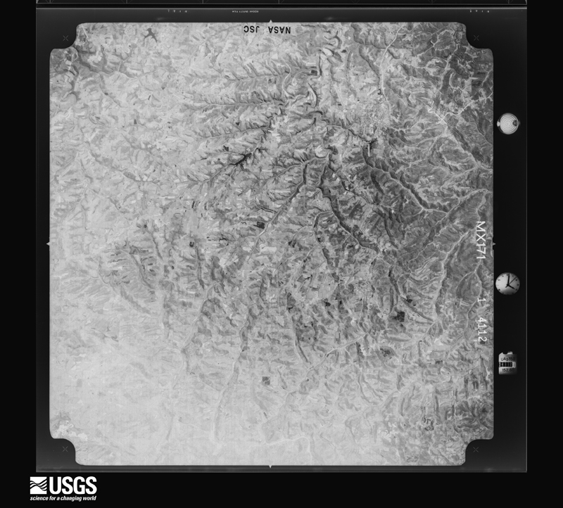
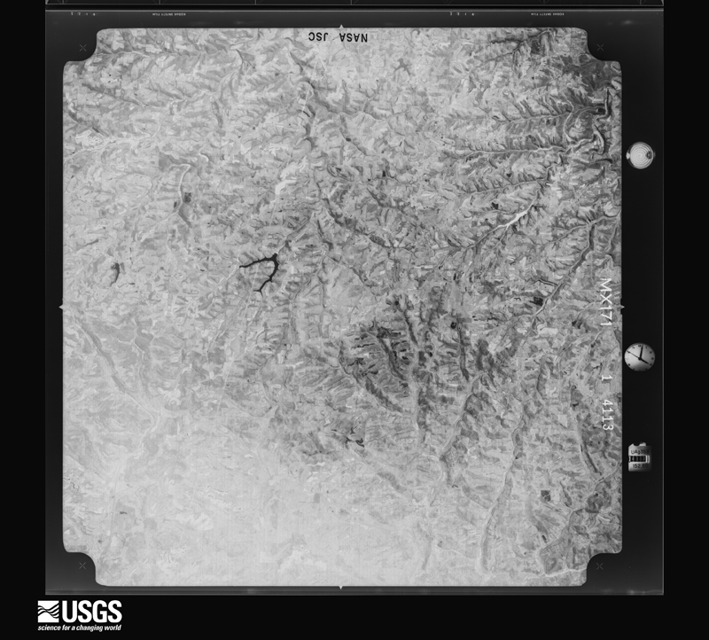
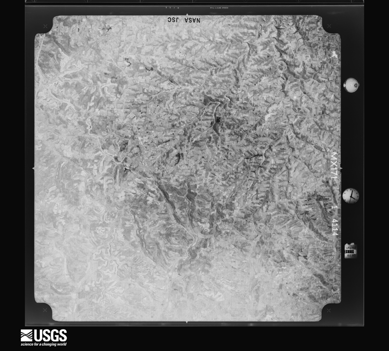
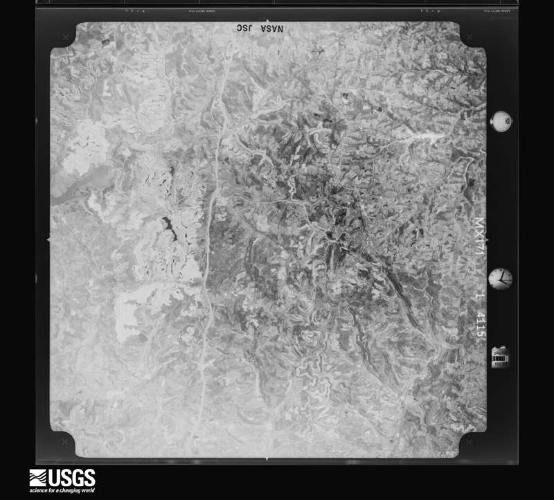
Flown by the U.S. Geological Survey
between 1937 and 1989, the Aerial Photo Single Frames collection is
the definitive mid-century view of the land: fields, roads and rivers
as the camera saw them. 514 frames touch this county; the
selection below spreads across the decades of flights (at most four
per year), so one flight cannot crowd out the rest. The full set is
free to browse and download at
EarthExplorer under the dataset Aerial Photo Single
Frames.
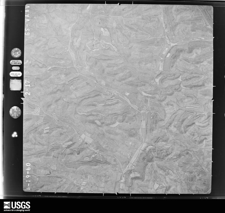
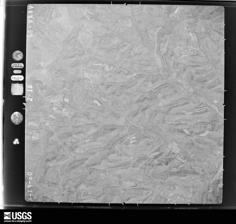
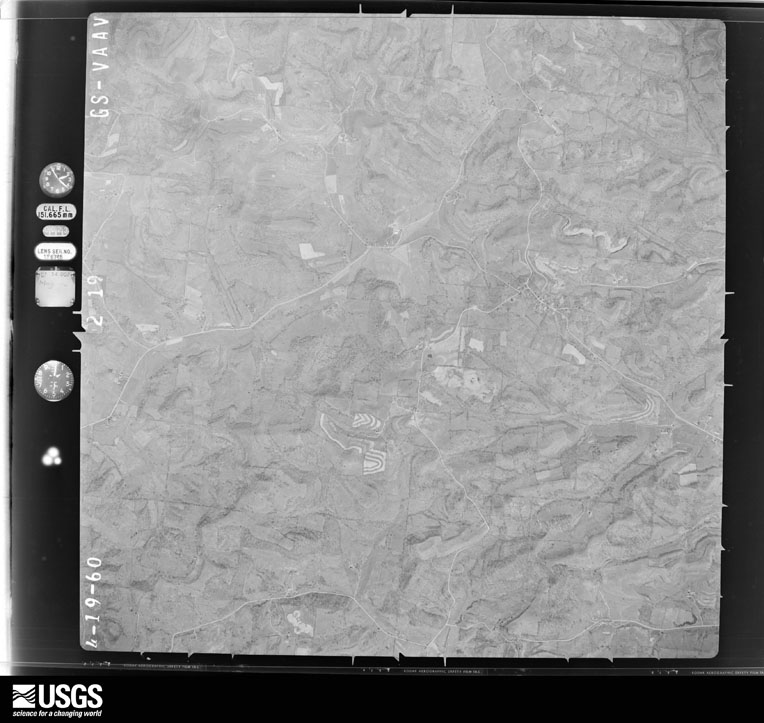
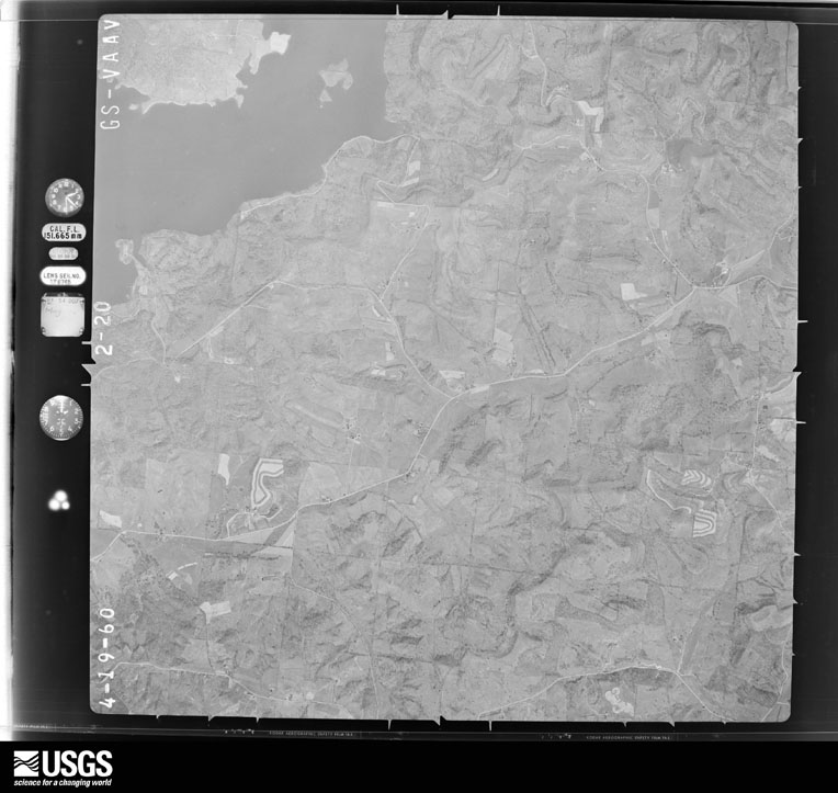
1948-09-01, scale 1:66965. U.S. Geological Survey aerial photograph.1948-09-01, scale 1:66965. U.S. Geological Survey aerial photograph.1948-09-01, scale 1:66965. U.S. Geological Survey aerial photograph.1948-09-01, scale 1:66965. U.S. Geological Survey aerial photograph.1959-10-28, scale 1:60000. U.S. Geological Survey aerial photograph.1959-10-28, scale 1:60000. U.S. Geological Survey aerial photograph.1959-10-28, scale 1:60000. U.S. Geological Survey aerial photograph.1959-10-28, scale 1:60000. U.S. Geological Survey aerial photograph.1960-04-22, scale 1:28000. U.S. Geological Survey aerial photograph.1960-04-22, scale 1:28000. U.S. Geological Survey aerial photograph.1960-04-22, scale 1:28000. U.S. Geological Survey aerial photograph.1960-04-22, scale 1:28000. U.S. Geological Survey aerial photograph.1971-04-16, scale 1:98201. U.S. Geological Survey aerial photograph.1971-04-16, scale 1:98201. U.S. Geological Survey aerial photograph.1971-04-16, scale 1:98201. U.S. Geological Survey aerial photograph.1971-04-16, scale 1:98201. U.S. Geological Survey aerial photograph.1972-05-10, scale 1:24000. U.S. Geological Survey aerial photograph.1972-05-10, scale 1:24000. U.S. Geological Survey aerial photograph.1972-05-10, scale 1:24000. U.S. Geological Survey aerial photograph.1972-05-10, scale 1:24000. U.S. Geological Survey aerial photograph.1975-04-07, scale 1:78000. U.S. Geological Survey aerial photograph.1975-04-07, scale 1:78000. U.S. Geological Survey aerial photograph.1975-04-07, scale 1:78000. U.S. Geological Survey aerial photograph.1975-04-07, scale 1:78000. U.S. Geological Survey aerial photograph.1976-03-22, scale 1:78000. U.S. Geological Survey aerial photograph.1976-03-22, scale 1:78000. U.S. Geological Survey aerial photograph.1976-03-22, scale 1:78000. U.S. Geological Survey aerial photograph.1976-03-22, scale 1:78000. U.S. Geological Survey aerial photograph.
City directories
4 volumes
The "who lived here, by year" answer:
pre-1929 public-domain directory volumes naming the county's people,
machine-read and searchable as text.
The thermometers that kept this
county's weather, and the gages that watched its rivers, as the
federal records hold them. The extremes below are measured values
from those records, not estimates.
Who lived here in 1950, one enumeration
district at a time, as the Census Bureau described each district.
Each row opens its official National Archives result, with Population
Schedules and ED Maps available there.
30-2Cambridge township: Cambridge city: Cambridge city - That part of Ward 1 Bounded by City limits; Ward line, N. 7th; Wall Ave.; 5th, Harrison Ave., 3rd
30-3Cambridge city - That part of Ward 1 Bounded by City limits; 3rd, Pennsylvania Railroad; Gomber Ave.; 1st, Beatty Ave., Water, Herring Ave.
30-4Cambridge city - That part of Ward 1 Bounded by Harrison Ave.; 5th; Gomber Ave.; Pennsylvania Railroad, 3rd
30-5Cambridge city - That part of Ward 1 Bounded by Wall Ave.; N. 7th; Steubenville Ave., N. 6th, Gomber Ave.; 5th
30-6Cambridge city - That part of Ward 1 excluding Berwick Hotel Bounded by Gomber Ave.; N. 6th, Steubenville Ave., N. 7th , Wheeling Ave., N. 8th; Baltimore and Ohio Railroad, Devey Ave., Wheeling Ave.; 3rd
30-8Cambridge city - That part of Ward 1 Bounded by Herring Ave.; Water, Beatty Ave., 1st, Gomber Ave., 3rd, Wheeling Ave., Dewey Ave.; Baltimore and Ohio Railroad; City Limits
30-9Cambridge city - That part of Ward 2 Bounded by City limits; City limits; City limits; Cochran Ave., North Ave., Leatherwood, Bishard Ave., Guernsey, Byesville Rd., City limits
30-10Cambridge city - That part of Ward 2 Bounded by City limits, Byesville Rd.; Guernsey, Bishard Ave., Leatherwood, North Ave., Cochran Ave.; City limits; Leatherwood Creek, city limits
30-11Cambridge city - That part of Ward 2 Bounded by Baltimore and Ohio Railroad, Ward Line; Leatherwood Creek, City limits; Pennsylvania Railroad, S. 15th, Campbell Ave., S. 9th S. 9th
30-12Cambridge city - That part of Ward 2 Bounded by Baltimore and Ohio Railroad; S. 9th; Jefferson Ave.; Long, Clay Ave., Dewey Ave.
30-13Cambridge city - That part of Ward 2 Bounded by Baltimore and Ohio Railroad, Ward line; Dewey Ave., Clay Ave., Long, Spring; City limits; City limits
30-14Cambridge city - That part of Ward 2 Bounded by Jefferson Ave.; S. 9th; Grant Ave.; Spring, Long
30-15Cambridge city - That part of Ward 2 Bounded by Grant Ave.; S. 9th; City limits; Spring
30-16Cambridge city - That part of Ward 2 Bounded by Campbell Ave., S. 15th, Pennsylvania Railroad; City limits; City limits; City limits
30-17Cambridge city - That part of Ward 3 Bounded by City limits; City limits, Clark; Edgeworth Ave.; Ward line, City limits
30-18Cambridge city - That part of Ward 3 Bounded by Edgeworth Ave.; N. 10th; Taylor Ave.; N. 7th, Ward line
30-19Cambridge city - That part of Ward 3 Bounded by Edgeworth Ave.; Clark; Clairmont Ave., N. 11th, Scott Ave.; N. 10th
30-20Cambridge city - That part of Ward 3 Bounded by Scott Ave., N. 11th, Clairmont Ave.; Clark; Stewart Ave.; N. 10th
30-21Cambridge city - That part of Ward 3 Bounded by Taylor Ave.; N. 10th; Beatty Ave.; N. 7th
30-22Cambridge city - That part of Ward 3 Bounded by Beatty Ave.; N. 9th; Wheeling Ave.; N. 7th
30-23Cambridge city - That part of Ward 3 Bounded by Stewart Ave.; Clark, N. 11th; Steubenville Ave.; N. 9th, Beatty Ave., N. 10th
30-24Cambridge city - That part of Ward 3 Bounded by Steubenville Ave.; N. 11th, Wheeling Ave., S. 10th, Ward line; Baltimore and Ohio Railroad; S. 8th, Wheeling Ave., S. 9th
30-25Cambridge city - That part of Ward 4 Bounded by City limits; City limits; Bellview Rd., Scott Ave.; Clark
30-26Cambridge city - That part of Ward 4 Bounded by Scott Ave., Bellview Rd.; City limits; Stewart Ave.; Clark
30-27Cambridge city - That part of Ward 4 Bounded by Stewart Ave., City limits; City limits; Wheeling Ave.; N. 18th, Creston Rd., Highland Ave., Beatty Ave., N. 16th
30-28Cambridge city - That part of Ward 4 Bounded by Stewart Ave.; N. 16th, Beatty Ave., Highland. Ave., Creston Rd., N. 18th; Wheeling Ave.; N. 11th, Clark
30-29Cambridge city - That part of Ward 4 Bounded by Wheeling Ave.; S. 12th, Carlisle Ave., Woodlawn Ave.; Baltimore and Ohio Railroad, Ward line; Ward line, S. 10th
30-30Cambridge city - That part of Ward 4 Bounded by Wheeling Ave.; City limits, Leatherwood Creek; Ward line, Baltimore and Ohio Railroad; Woodlawn Ave., Carlisle Ave., S. 12th
30-31Cambridge township - That part east of U.S. Hwy. 21, and north of U.S. Hwy. 40, outside Cambridge city
30-32Cambridge township - That part west of U.S. Hwy. 21, and north of State Hwy. 209, outside Cambridge city, excluding Cambridge State Hospital
30-33Cambridge State Hospital (In Cambridge township)
30-34Cambridge township - That part south of State Hwy. 209, and west of U.S. Hwy. 21, outside Cambridge city
30-35Cambridge township - That part south of U. S. Hwy. 40, and east of U.S. Hwy. 21, outside Cambridge city
30-36Lore City village, comprising parts of Center, Richland and Wills townships: Lore City village - That part in Center township
30-37Lore City village - That part in Richland township
30-38Lore City village - That part in Wills township
30-39Center township - That part outside Lore City village (Remainder of Center township is in Lore City village)
30-40Jackson township: Byesville village: Byesville village - That part Bounded by Village limits; Village limits; Main Ave., 2nd, High Ave.; Glass Ave., Village limits
30-41Byesville village - That part Bounded by Glass Ave., Pennsylvania Railroad; Main Ave., S. 4th, Euclid Ave., S. 4th; Village limits; Village limits
30-42Byesville village - That part Bounded by Main Ave.; Pennsylvania Railroad, Village limits; Village limits; S. 4th, Euclid Ave., S. 4th
30-43Byesville village - That part Bounded by High Ave., 2nd, Main Ave, Village limits; Village limits; Village limits; Pennsylvania Railroad
30-44Jackson township - That part north of the section line from the northeast corner of section 14, township 1, Range 2, west to Byesville village limits and northeast of Pennsylvania Railroad outside, Byesville village
30-45Jackson township - That part south of the section line from the northeast corner of section 14, township 1, Range 2, west to Byesville village limits and east of Pennsylvania Railroad, outside Byesville village
30-46Jackson township - That part south west and west of Pennsylvania Railroad and east and south of State Hwy. 660, outside Byesville village
30-47Jackson township - That part north and west of State Hwy. 660
30-58Oxford township: Fairview village - That part in Guernsey county comprising part of Oxford township (Remainder of Fairview village is in Kirkwood township, Belmont county)
30-59Oxford township - That part outside Fairview village
30-60Richland township, outside Lore City village Senecaville village: Senecaville village - That part Bounded by Village limits; Village limits; Village limits, Zanesville; Church, Le Page Ave., Church
30-61Senecaville village - That part Bounded by Village limits; Church, Le Page Ave., Church, Zanesville, Village limits; Village limits; Village limits
30-62Richland township - That part outside Lore City and Senecaville village (Remainder of Richland township is in Lore City village)
30-66Hartford unincorporated (see boundaries shown on aerial photo CLU - 14 - 173)
30-67Valley township - That part east of Pennsylvania Railroad outside Pleasant City village and Hartford, unincorporated (See Aerial Photo CLU - 1A - 173 for Boundaries of Hartford)
30-68Valley township - That part west of the Pennsylvania Railroad and northwest of the Baltimore and Ohio Railroad
30-69Valley township - That part west of the Pennsylvania Railroad and southeast of the Baltimore and Ohio Railroad, outside Pleasant City village
30-73Wills township, outside Lore City village Washington village
30-74Wills township - That part outside Lore City and Washington villages (Remainder of Wills township is in Lore City village )
Businesses named in the atlases
44 businesses
Every Sanborn volume opens with a printed index
naming the town's mills, tanneries, hotels and works by proprietor. Those
indexes were read off the scanned sheets by machine and then matched to each
other, so a business surveyed four times appears here once, with the years it
survived. 6 of these 44 were named in more than one atlas. Each carries a
crop of the line it was read from: the spelling is the recogniser's and the
1880s lithographer's, and the scan behind it is the proof.
Every wildfire the federal occurrence
database records inside this county: 212 of them, burning about
431 acres. 1 started naturally and 8 were
recorded as arson. Each settlement page carries the fires within five
miles of it.
Reported cause
Fires
Debris and open burning
115
Missing data/not specified/undetermined
52
Smoking
11
Equipment and vehicle use
9
Arson/incendiarism
8
Recreation and ceremony
8
Power generation/transmission/distribution
6
Fireworks
1
Natural
1
Other causes
1
The five largest, by the area the report
gives. One of them was set deliberately.
Date
Cause
Size
Reported by
Name on the report
27 April 2013
Recreation and ceremony
75 acres
Ohio Department of Natural Resources
not named
1 April 2014
Missing data/not specified/undetermined
25 acres
Ohio Department of Natural Resources
not named
9 October 2020
Debris and open burning
20 acres
Ohio Department of Natural Resources
15861
5 April 2013
Missing data/not specified/undetermined
15 acres
Ohio Department of Natural Resources
not named
1 March 2014
Missing data/not specified/undetermined
12 acres
Ohio Department of Natural Resources
not named
1 March 2014
Missing data/not specified/undetermined
12 acres
Ohio Department of Natural Resources
not named
18 February 2011
Arson/incendiarism
10 acres
Ohio Department of Natural Resources
not named
12 May 2018
Power generation/transmission/distribution
10 acres
Ohio Department of Natural Resources
10145
Every settlement page carries the fires within five
miles of it - see the settlement index below.
Storms, 1968 to
2026
60 of 406 shown
The
NOAA Storm Events Database holds
406 reports for this county, causing 0 deaths,
14 injuries and about $11,774,500 in recorded property damage.
Each settlement page carries the reports that name it.
Kind of event
Reports
Thunderstorm Wind
219
Hail
104
Flash Flood
40
Flood
27
Tornado
11
Heavy Rain
4
Debris Flow
1
The most serious of them, by death, then
injury, then recorded damage. The accounts are quoted exactly as the
forecast office filed them.
An intense thunderstorm gust known as a macroburst raked across central Guernsey County, wind gusts were estimated between 80 and 90 mph. The thunderstorm formed in northeast Guernsey County about 430 pm just ahead of another very intense thunderstorm moving through Muskingum County. It then moved southeast at nearly 40 mph.The swath of damage produced by this intense downburst of wind was estimated to be nearly 8 miles long. Its width fluctuated between 0.75 miles to over 2.5 miles. The damage started just south of Cambridge and continued southeast to near the town of Buffalo. There were 3 reported injuries which consisted of cuts and abrasions. One person was treated and released from the hospital. The town of Byesville was hardest hit. Hundreds of trees were snapped or toppled. Power lines and telephone poles were also downed which resulted in widespread power outages. There were some outbuildings destroyed, as well as damage to shingles, siding and roofs. Part of a roof of a school was torn off. Billboards, business signs and Interstate highway signs were also partially or totally destroyed. It was also reported that about 30 automobiles in a grocery store parking lot had their windows completely shattered. A plate glass window in a fast food restaurant was also shattered. The area was declared a disaster area by the Governor of Ohio. On Interstate 77, there was a report of a tractor-trailed truck which was stopped in its tracks by the tremendous gust as it tried to move forward. It actually spun its wheels as if it were on ice without moving and an automobile behind it collided with the truck.
Emergency manager reported damage to the clock tower of an 150 year old courthouse, the collapse of a church, and several other structures damaged in the city of Cambridge.
An NWS damage survey confirmed that an EF-1 tornado, with winds |peaking near 100 mph, tracked through north central Guernsey County|on the evening of April 2, 2024. The length of the tornado was |about 1.30 miles and the max width was estimated to be about 75 |yards. This tornado was associated with the same circulation that |initially produced 2 tornadoes in Muskingum County. One tornado in|Muskingum County was surveyed near North Zanesville, OH (EF-1) and|the other tornado was surveyed in Highland Twp (EF-0).||Peak intensity was reached as Cool Springs Road meets Cowden |Road, where a number of trees were snapped and/or uprooted. The |tornado caused minor structure damage to a barn before crossing |over a mobile home. The mobile home had partial roof damage, where|insulation was lofted into a tree. Numerous trees were snapped |and/or uprooted near the mobile home. After passing the mobile |home, the tornado lifted along a hillside.
Between 840 PM EDT and 9 PM EDT, a microburst struck just southwest of Warrentown, about 4 miles northeast of Cambridge. Numerous trees toppled or snapped. Siding and shingles torn from a few houses. Two small barns knocked down. One mobile home was pushed off its foundation. Maximum estimated wind 75 mph (65 knots). This microburst made a swath of sporadic damage about half a mile in length and 350 yards wide. It started from just south of Lakespur Lane, and moved northeastward to just south of Route 22
Thunderstorm winds blew a small garage down onto the car inside. Another car parked outside the garage was flipped onto its roof. Several trees across the area were also blown down.
A trained spotter reported flooding on Route 83 near Claysville.
Mines and
quarries
6 recorded
The Survey's mineral resources record
lists 6 workings inside this county. 2 still
produce and 4 are closed or unrecorded. Each settlement
page carries the workings within five miles of it.
Commodity
Workings
Limestone, General
2
Stone, Crushed/Broken
2
Titanium, Silica, Iron, Aluminum
1
Vanadium
1
Zirconium, Iron
1
The least common of them first, because a
county's hundredth gravel pit says nothing its first ten did not.
Museum specimens collected inside this
county and catalogued with a date and a place: 399 of them, by
kingdom 162 animalia, 139 fungi, 94 plantae, 2 protozoa, 2 unrecorded. Each is a physical object in a named collection, not a
sighting. Held by BPI, CM, Ohio State University - Fish Division, Columbus, OH (OSUM), UMMZ, Ohio State University - Amphibian Division, Columbus, OH (OSUM), ASC among others, and each settlement page carries
the specimens collected near it.
The oldest of them. A specimen proves
something was collected on that day; its absence proves nothing.
History of Guernsey County, Ohio devotes a chapter to each township:
its boundaries and streams, who settled it and when, the mills, the
schools and the churches. All 16 are reproduced here in full. Each row
shows the township's own shape and where it lies in the county, drawn from
the Census Bureau's boundary. Which settlements belong to which township
is computed from that same boundary, not taken from the book.
Named settlements recorded in the Geographic Names
Information System, each with the topographic sheets covering it. Villages,
hamlets and abandoned places alike. Each is shown with the watercourse or
landform it stands on and the survey quadrangle it falls on. The 4
places that were also surveyed for fire insurance come first, with the
number of atlases and photographs held for them.
The complete index, with nothing left out.
Each of these is a separate record with its own page: a federal survey
report, or the case file that argued a property on to the National
Register. Both are public domain and reproduced word for word.
Topographic sheets. USGS Historical Topographic Map Collection, county index, measured from the bulk metadata.
Fire insurance maps. Library of Congress Sanborn collection, faceted to this county.
Photographs. Each place queried individually against the Library of Congress Prints and Photographs search.
Wildfire. Short, Karen C. 2022. Spatial wildfire occurrence data for the United States, 1992-2020 [FPA_FOD_20221014]. 6th Edition. Fort Collins, CO: Forest Service Research Data Archive. https://doi.org/10.2737/RDS-2013-0009.6 Collected with United States Government funding and usable without additional permissions or fees.
Specimens. Global Biodiversity Information Facility (GBIF), https://www.gbif.org/. Only records licensed CC0 or CC BY are used. Records licensed CC BY-NC are excluded because this site carries advertising. Images are checked individually and any whose licence is non-commercial, no-derivatives or unreadable is refused.
Mines and quarries. USGS Mineral Resources Data System (MRDS) https://mrdata.usgs.gov/mrds/ A work of the United States government, no copyright under 17 U.S.C. 105.
Storms. NOAA National Centers for Environmental Information, Storm Events Database https://www.ncei.noaa.gov/stormevents/ A work of the United States government, no copyright under 17 U.S.C. 105. Narratives are quoted verbatim from the National Weather Service report and are not edited or summarised.
 Block
Block