 Block
Block
Delhi, Ohio
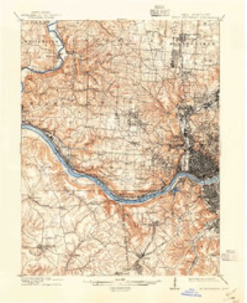
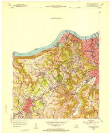
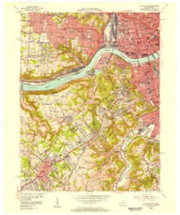
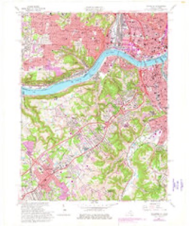
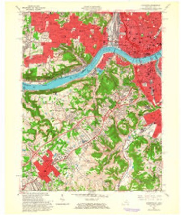
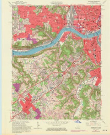
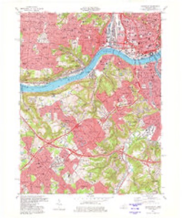
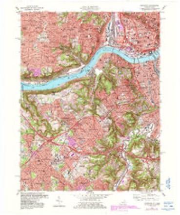
18 topographic sheets cover this place, the earliest surveyed in 1914 and the latest in 1986. It stands in Delhi Township. It lies in ZIP code area 45238. It stands on Hatchers Run. The Survey maps it on the Covington quadrangle.
Then and now
1914 to 1986The same ground, surveyed 72 years apart. Drag the handle to wipe between them. Both sheets are United States Geological Survey originals; neither has been altered.

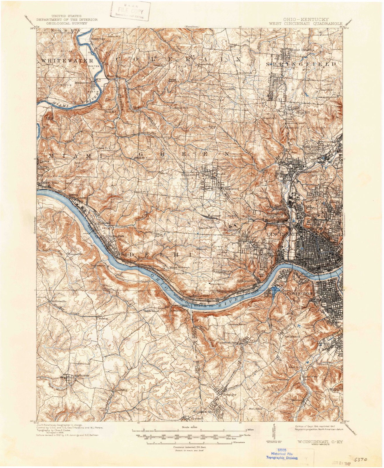
Topographic sheets covering this place
18 sheetsMatched by testing this settlement's coordinate against the published boundary of every sheet in the United States Geological Survey's historical collection. Each opens the scanned sheet at the Survey.
- 1914 USGS West Cincinnati quadrangle1:62500
- 1914 USGS West Cincinnati quadrangle1:62500
- 1914 USGS West Cincinnati quadrangle1:62500
- 1914 USGS West Cincinnati quadrangle1:62500
- 1950 USGS Covington quadrangle1:24000
- 1953 USGS Cincinnati quadrangle1:250000
- 1953 USGS Cincinnati quadrangle1:250000
- 1953 USGS Cincinnati quadrangle1:250000
- 1955 USGS Covington quadrangle1:24000
- 1957 USGS Cincinnati quadrangle1:250000
- 1961 USGS Covington quadrangle1:24000
- 1961 USGS Covington quadrangle1:24000
- 1961 USGS Covington quadrangle1:24000
- 1981 USGS Covington quadrangle1:24000
- 1981 USGS Covington quadrangle1:24000
- 1986 USGS Cincinnati quadrangle1:100000
- 1986 USGS Cincinnati quadrangle1:100000
- 1986 USGS Cincinnati quadrangle1:100000







In the county-history sources
17,786 words on this townshipHistory of Hamilton County, Ohio, with Illustrations and Biographical Sketches, published 1881 names this settlement in its chapter on Delhi Township. These are the passages that mention it, exactly as the scans read.
The original organization, including the territory now covered by Delhi township, was the now long extinct South Bend township, planted by the court of general quarter sessions of the peace between Cincinnati and Miami townships. It was erected in 1795, among the earliest in the county, and was named from the settlement already made under the auspices of Judge Symmes, at the southernmost point on the river in the Miami Purchase, which in turn took its name from the great bend in the Ohio, within which it had been settled. The boundaries of the new township were defined about as follows :
Passage source: History of Hamilton County, Ohio, with Illustrations and Biographical Sketches, published 1881.
The surface of Delhi presents as great a variety of topography as any other part of the county, of equal extent. A comparatively level strip, of uniform width for but short distances, but nowhere extending far inland, except up the valleys, borders the river, and in places, as near Sedamsville, being quite narrow, with lofty, steep hills almost abutting upon the river. West from the city the general character of the country is highland, until the river is approached some miles further to the west; but intersected, cut down and variegated by an uncommon number of small streams for so small a tract. Among the valleys thus created are those of Bold Face creek, the Rapid run, Muddy creek, and at least a dozen minor brooks, all of which find their way to the Ohio, either directly or through creeks to which they are tributary.
Passage source: History of Hamilton County, Ohio, with Illustrations and Biographical Sketches, published 1881.
The Cincinnati, Indianapolis, St. Louis & Chicago railway follows the river through the entire south and west parts of this township; and, on lines generally parallel with it the whole way, are the tracks of the older Ohio & Mississippi railroad. Along these are scattered numerous suburban villages, for some of which both railroads have stations, making fifteen or twenty in all. Back on the highlands is Warsaw, a village which gives the name to the Warsaw turnpike, connecting it with the city. There are also the Industry and Delhi, the Rapid run, and other turnpike roads intersecting the township.
Passage source: History of Hamilton County, Ohio, with Illustrations and Biographical Sketches, published 1881.
Machine-read from a century-old scan, so expect the errors a machine makes: misspelled names, dropped words, stray characters.
Read the whole chapter on Delhi Township - it names this place 49 more 49 times.
Specimens collected near this place
12 of 4,442 shownRegional context, not property-specific evidence. Museums hold 4,442 specimens collected within 10 miles of Delhi between 1819 and 1975: 1,982 Fungi, 1,408 Animalia, 866 Plantae, 145 Protozoa, 21 Unrecorded, 19 Chromista, 1 Bacteria. 12 distinct Species records are shown. Collected by A Schwartz, A. Braun, A. F. Braun and others. Each is a physical object with a catalogue number, and each entry opens the museum's record. This is what was collected and kept, not a survey of what lives here - nothing can be concluded from a species being absent.
| Image | Species | Year | Collected by | Where, as recorded |
|---|---|---|---|---|
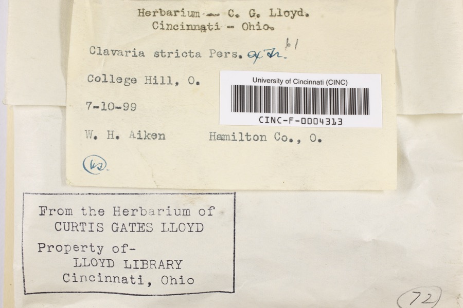 | Clavaria striata Pers. | 1899 | Aiken, Walter H. | College Hill |
 | Corticium polyporoideum Berk. & M.A.Curtis | 1899 | C.G. Lloyd | Cincinnati |
 | Microsphaera diffusa Cooke & Peck | 1899 | Aiken, Walter H. | Cincinnati |
 | Quercus × leana Nutt. | 1819 | Thomas Nuttall | 3 miles North of Cincinnati |
 | Atrichum angustatum (Brid.) Bruch & Schimp. | 1820 | T. G. Lea | probably Cincinnatti |
 | Barbula unguiculata Hedw. | 1820 | T. G. Lea | probably Cincinnatti |
 | Rhus venenata DC. | 1830 | Clark, Joseph | North of Cincinnati |
 | Equisetum arvense L. | 1834 | Short, Charles Wilkins; Lea, Thomas G. | Cincinnati |
 | Carex comosa Boott | 1835 | Collector unspecified | In citivate Ohio prope Cincinnati. [Inferred locality from precise loc.] |
 | Carex davisii Schwein. & Torr. | 1835 | Frank | in ditione Miami civitatis Ohio |
 | Carex lupulina Muhl. ex Willd. | 1835 | Joseph C. Frank | Cincinnati. |
| Albugo candida (Pers. ex J.F.Gmel.) Roussel | 1897 | Kellerman, W.A. | College Hill |
All 4,442 specimens within 10 miles, at the Global Biodiversity Information Facility.
Mines and quarries near this place
5 within 5 milesRegional context, not property-specific evidence. The federal mineral resources record lists 5 workings within 5 miles of Delhi: 3 past producers, 2 producers. 2 still produce. What was taken out: Salt, Stone, Crushed/Broken, Sand and Gravel, Construction. Distance is straight-line from the map coordinates, so a quarry counted here may appear on a neighbouring settlement's page as well.
| Where | Site | Commodity | Status | Recorded |
|---|---|---|---|---|
| Constance Yard | Stone, Crushed/Broken | Producer | ||
| Taylorsport Mine | Sand and Gravel, Construction | Producer | ||
| Cargill Salt Terminal | Salt | Past Producer | ||
| Cincinnati Salt Service | Salt | Past Producer | ||
| Cincinnati Warehouse | Salt | Past Producer |
Storms near this place
21 since 1994Regional context, not property-specific evidence. The National Weather Service names Delhi in 21 storm reports between 1994 and 2025: 10 hail, 9 thunderstorm wind, 2 flash flood. No death or injury is recorded in these reports. Each account below is quoted exactly as the forecast office filed it, from the NOAA Storm Events Database, and each date opens the federal record of that event.
| When | Event | Place named | Harm | What the report says |
|---|---|---|---|---|
| May 2003 | Flash Flood | Delhi | $100,000 | Water up to four feet in deep in homes caused numerous evacuations. More evacuations occurred in Fairfax near Little Duck Creek. Ten people had to be rescued by boat in that area. |
| July 1997 | Hail | Delhi | $100,000 | Hail as large as baseballs fell across the southwestern part of the county. Windows and roofs were destroyed on numerous cars. Several buildings were damaged including an area greenhouse which had its roof destroyed. |
| April 2017 | Flash Flood | Delhi | $25,000 | The 1400 block of Van Blaricum Road was partially collapsed due to flooding. |
| April 2005 | Hail | Delhi | $20,000 | no account filed |
| April 2006 | Thunderstorm Wind | Delhi | $10,000 | A tree was knocked down on a house along Neeb Road. |
| July 1999 | Thunderstorm Wind | Delhi | $5,000 | Trees downed. |
| June 1996 | Thunderstorm Wind | Delhi | $3,000 | no account filed |
| July 2012 | Thunderstorm Wind | Delhi | $2,000 | Trees were downed near Saylor Park due to damaging thunderstorm winds. |
| July 2007 | Thunderstorm Wind | Delhi | $2,000 | Nickel sized hail also occurred with the strong winds. |
| June 2016 | Thunderstorm Wind | Delhi | $1,000 | Several six inch diameter tree limbs were broken off trees. |
| July 2012 | Thunderstorm Wind | Delhi | $1,000 | A tree was downed at Fernbank Golf Course due to thunderstorm winds. |
| July 2012 | Thunderstorm Wind | Delhi | $1,000 | A tree was downed in Sayler Park due to thunderstorm winds. |
| May 2011 | Thunderstorm Wind | Delhi | $1,000 | Large tree limbs were snapped due to damaging thunderstorm winds. |
| June 2007 | Hail | Delhi | $1,000 | no account filed |
| July 1994 | Hail | Delhi | - | Large hail damaged crops. |
| March 2025 | Hail | Delhi | - | no account filed |
| April 2015 | Hail | Delhi | - | no account filed |
| June 2011 | Hail | Delhi | - | no account filed |
| June 2011 | Hail | Delhi | - | no account filed |
| July 2010 | Hail | Delhi | - | no account filed |
| August 2003 | Hail | Delhi | - | no account filed |
Nearest settlements
The eight closest, with where each one stands in the county. Distances are straight-line, computed from the Geographic Names Information System coordinates.
| Map | Place | Distance | Sheets |
|---|---|---|---|
| Delhi Hills | 0.4 miles | 18 | |
| Placid Meadows | 0.5 miles | 18 | |
| Eileen Gardens | 0.8 miles | 18 | |
| Highland Park | 0.8 miles | 18 | |
| Monterey | 1.2 miles | 18 | |
| Riverside | 1.2 miles | 18 | |
| Sunaire | 1.2 miles | 20 | |
| Fashion Heights | 1.4 miles | 18 |
Provenance
This settlement is recorded in the Geographic Names Information System as feature 1064522. The sheet list is computed by point-in-boundary test against the United States Geological Survey's historical topographic inventory. Both are works of the United States government and carry no copyright under 17 U.S.C. 105.
Specimens. Global Biodiversity Information Facility (GBIF), https://www.gbif.org/. Only records licensed CC0 or CC BY are used. Records licensed CC BY-NC are excluded because this site carries advertising. Images are checked individually and any whose licence is non-commercial, no-derivatives or unreadable is refused.
Mines and quarries. USGS Mineral Resources Data System (MRDS) https://mrdata.usgs.gov/mrds/ A work of the United States government, no copyright under 17 U.S.C. 105.
Storms. NOAA National Centers for Environmental Information, Storm Events Database https://www.ncei.noaa.gov/stormevents/ A work of the United States government, no copyright under 17 U.S.C. 105. Narratives are quoted verbatim from the National Weather Service report and are not edited or summarised.