 Block
Block
Dunlap, Ohio
16 topographic sheets cover this place, the earliest surveyed in 1915 and the latest in 1986. It stands in Colerain Township. It lies in ZIP code area 45252. The Survey maps it on the Greenhills quadrangle. 1,658 people lived here at the 2020 count. It stands 2,812 feet above sea level.
Population over time
2 figuresDunlap fell from 1,719 to 1,658 between 2010 and 2020. These are the recorded population figures Wikidata holds for this place, reached through the Geographic Names Information System number this page is keyed on rather than by name, so they belong to this place and not to another of the same name. Most are census counts, but not all are: an early figure may be a founding or settlement estimate. The change column is computed, and is left blank where more than 20 years separate a figure from the one before it, because a gap that long is not a change between two counts.
| Year | People | Change |
|---|---|---|
| 2010 | 1,719 | |
| 2020 | 1,658 | -61 (-4%) |
Then and now
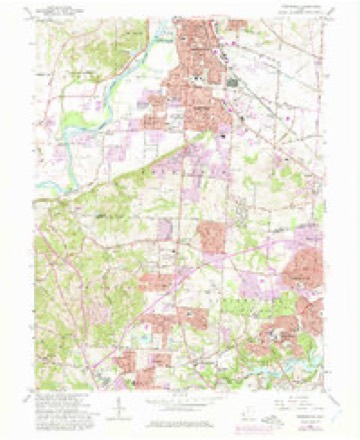
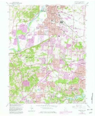
1915 to 1986The same ground, surveyed 71 years apart. Drag the handle to wipe between them. Both sheets are United States Geological Survey originals; neither has been altered.

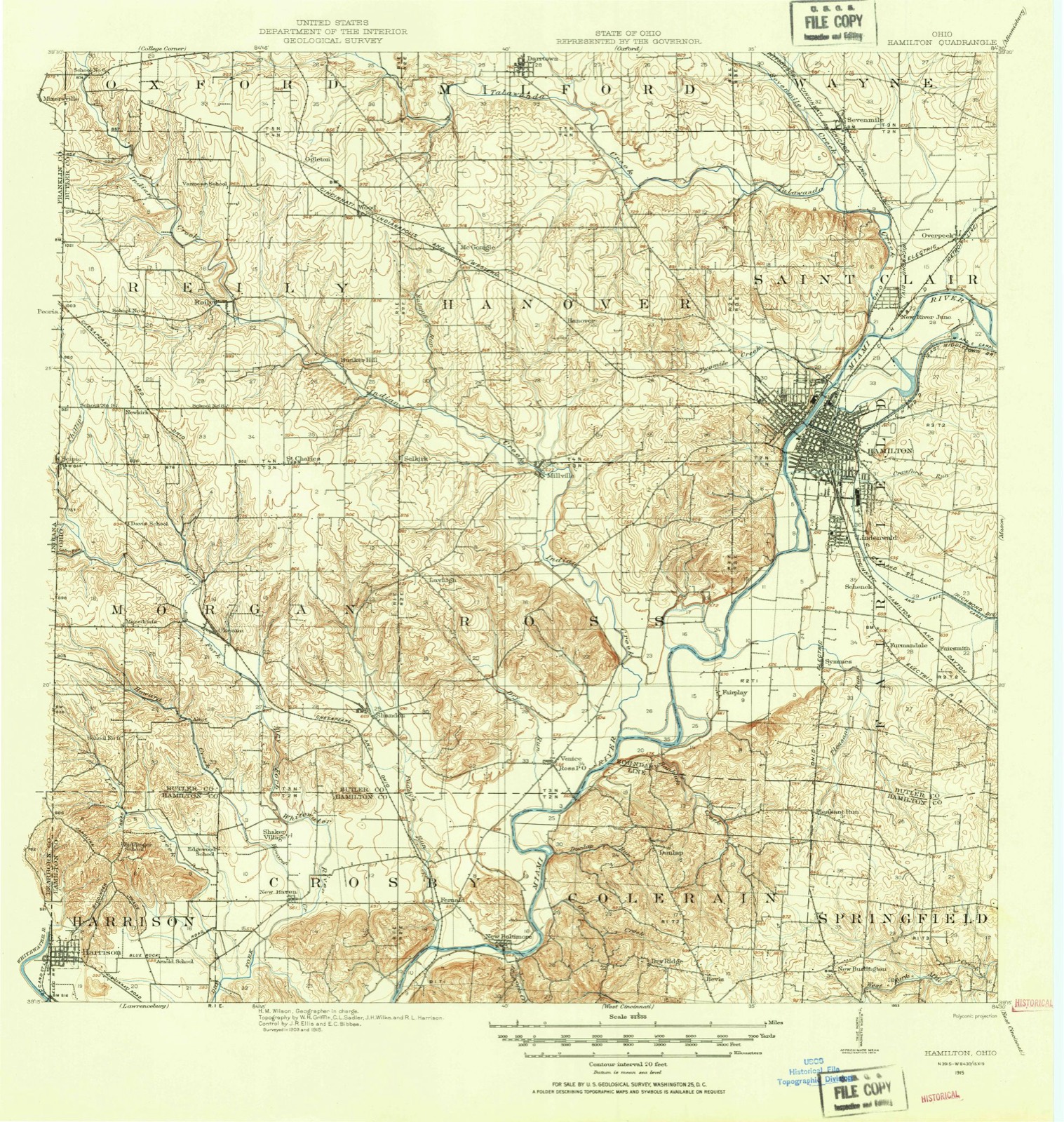
Topographic sheets covering this place
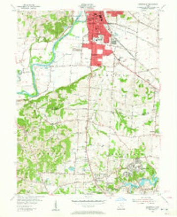
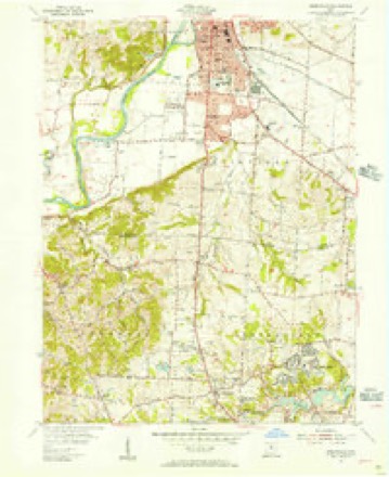
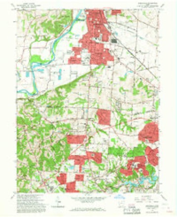
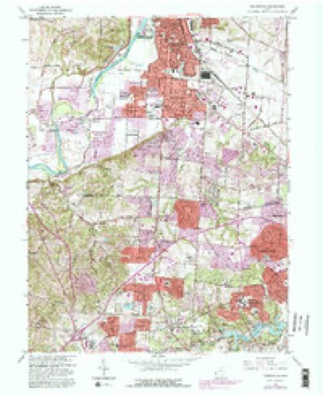
16 sheetsMatched by testing this settlement's coordinate against the published boundary of every sheet in the United States Geological Survey's historical collection. Each opens the scanned sheet at the Survey.
- 1915 USGS Hamilton quadrangle1:62500
- 1915 USGS Hamilton quadrangle1:62500
- 1917 USGS Hamilton quadrangle1:62500
- 1953 USGS Cincinnati quadrangle1:250000
- 1953 USGS Cincinnati quadrangle1:250000
- 1953 USGS Cincinnati quadrangle1:250000
- 1955 USGS Greenhills quadrangle1:24000
- 1955 USGS Greenhills quadrangle1:24000
- 1957 USGS Cincinnati quadrangle1:250000
- 1965 USGS Greenhills quadrangle1:24000
- 1965 USGS Greenhills quadrangle1:24000
- 1965 USGS Greenhills quadrangle1:24000
- 1965 USGS Greenhills quadrangle1:24000
- 1986 USGS Cincinnati quadrangle1:100000
- 1986 USGS Cincinnati quadrangle1:100000
- 1986 USGS Cincinnati quadrangle1:100000







What happened here
An account from the chapter on Colerain township, The inset identifies its exact source book and publication year.
Population Jared Cloud
of Colerain township, was born on St. Patrick's day, the seventeenth of March, 1808; is Of Welsh, and Enghsh descent on his father's side and of French descent on that of his mother. Mason Jones Cloud, his grandfather, came from Virginia about the year 1778, and settled in Boone county, Kentucky. Unfortunately for the fate of Mason, he was required to return to Virginia for a sum of money there due him, and after only a three days' stay in his new home, in company with two others, set out on his perilous trip, and, with his companions, was massacred on Licking river by the hostile Indians.
In the county-history sources
9,514 words on this townshipHistory of Hamilton County, Ohio, with Illustrations and Biographical Sketches, published 1881 names this settlement in its chapter on Colerain Township. These are the passages that mention it, exactly as the scans read.
The first settler in the tract now covered by Colerain township was undoubtedly John Dunlap, an Irishman from Colerain, in the north of Ireland. In 1790 he made his way up the valley of the Great Miami to this notable bend, about seventeen miles from the Cincinnati of that day, where he determined to found a colony, and laid out a village, which he named from his native place in the old country, and which, though it presently became extinct, perpetuated its musical name in the designation of the township. A few settlers joined him here; and they promptly built a fort or station at the spot selected. It consisted simply of their little cabins clustered together upon a space of about an acre, built to face each other and, with a singular want of forethought, their roofs so placed as to slope outward, and the eaves so low that it is said the dogs were accustomed to jump from the stumps without to the top of them, and so get into the enclosure.* This was constructed of a stockade of rather weak pickets, made of small timber or logs split in half and thrust into the ground, above which they stood only about eight feet high. Small block-houses were built at the corners of the square formed by the stockade. Within this dwelt about thirty persons - men, women, and children - including only eight or ten capable of bearing arms. Upon the erection of the station, however, and application duly made at Fort Washington for a garrison, Lieutenant Kingsbury was sent with thirteen soldiers to strengthen the defenders. When the terrible occasion came, too, as we shall presently see, the heroic women of the little fort proved capable of rendering invaluable aid toward its salvation from capture by the merciless savage foe.
Passage source: History of Hamilton County, Ohio, with Illustrations and Biographical Sketches, published 1881.
Dunlap's station is principally memorable as the scene of the fiercest and longest sustained Indian attack recorded in the annals of Hamilton county. For several days in early January, 1791, the savages had been lurking in the vicinity in considerable force. On the eighth they made the fatal attack upon Wallace, Sloan, Hunt and Cunningham, as is related in our chapter upon "The Miamese and the Indians." Sloan who escaped wounded, and Wallace who escaped unhurt, took refuge in the station, and the next day (Sunday) the latter guided a party to the scene of the disaster, where they found the body of the unfortunate Cunningham, tomahawked and scalped. They buried it on the spot, and returned without molestation. Hunt made his appearance before the station the succeeding day, but as a hapless prisoner in the hands of his torturers and murderers. The story of the siege is admirably narrated in Volume I. of Mc- Bride's Pioneer Biography, receiving many of its touches and details, we suspect, from the hand of the accomplished editor of that work, Mr. Robert Clarke, of Cin-
Passage source: History of Hamilton County, Ohio, with Illustrations and Biographical Sketches, published 1881.
Among the early settlers in Colerain township, besides Dunlap, Campbell, and others already named, were the Brown, Halstead, Huston, and other old families, some of which will be found noticed in the brief narratives below.
Passage source: History of Hamilton County, Ohio, with Illustrations and Biographical Sketches, published 1881.
Machine-read from a century-old scan, so expect the errors a machine makes: misspelled names, dropped words, stray characters.
Read the whole chapter on Colerain Township - it names this place 8 more 8 times.
Specimens collected near this place
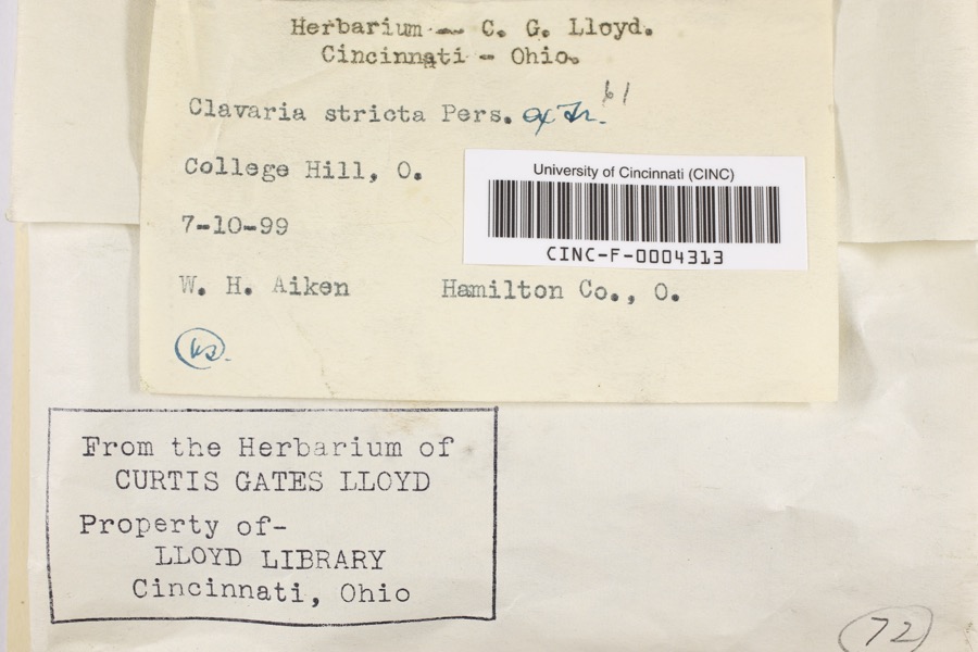
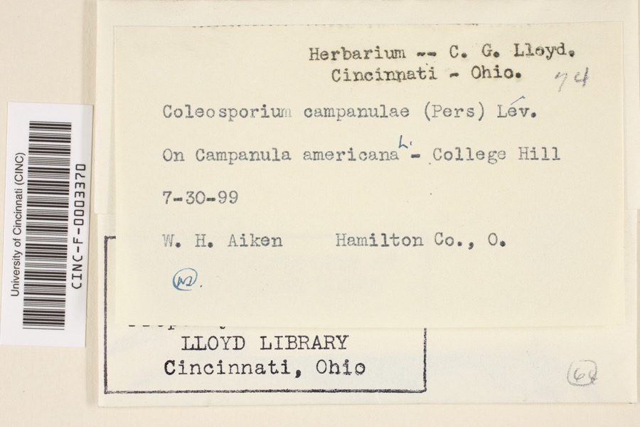
12 of 1,899 shownRegional context, not property-specific evidence. Museums hold 1,899 specimens collected within 10 miles of Dunlap between 1819 and 1975: 1,010 Fungi, 585 Animalia, 183 Plantae, 105 Protozoa, 9 Chromista, 6 Unrecorded, 1 Bacteria. 12 distinct Species records are shown. Collected by A Schwartz, A. P. Morgan, A. T. C and others. Each is a physical object with a catalogue number, and each entry opens the museum's record. This is what was collected and kept, not a survey of what lives here - nothing can be concluded from a species being absent.
| Image | Species | Year | Collected by | Where, as recorded |
|---|---|---|---|---|
 | Clavaria striata Pers. | 1899 | Aiken, Walter H. | College Hill |
 | Coleosporium campanulae (Pers.) Tul. | 1899 | Aiken, Walter H. | College Hill |
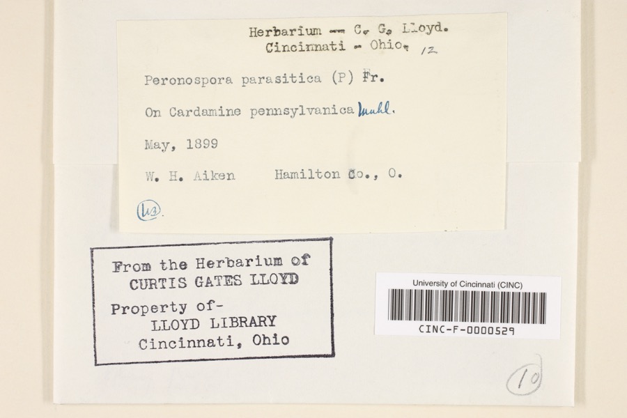 | Peronospora parasitica (Pers.) De Bary | 1899 | Aiken, Walter H. | Hamilton County, Ohio |
 | Quercus × leana Nutt. | 1819 | Thomas Nuttall | 3 miles North of Cincinnati |
 | Carex davisii Schwein. & Torr. | 1835 | Frank | in ditione Miami civitatis Ohio |
 | Mentha arvensis var. glabrata (Benth.) Fernald | 1835 | Collector unspecified | Miami. |
 | Sanicula canadensis L. | 1835 | Frank | in ditione Miami civitatis Ohio |
 | Monotropa uniflora L. | 1836 | Haupt, J.G. | 4 mile NW. Cincinnati |
 | Phlox divaricata L. | 1841 | not recorded | 2.5 miles north of Cincinnati |
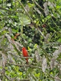 | Piranga rubra (Linnaeus, 1758) | 1874 | Porter collection, J.B. | |
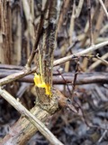 | Berberis vulgaris L. | 1875 | s.c. | Spring Grove |
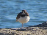 | Charadrius vociferus Linnaeus, 1758 | 1875 | not recorded | LOCNM: Glendale |
All 1,899 specimens within 10 miles, at the Global Biodiversity Information Facility.
Mines and quarries near this place
4 within 5 milesRegional context, not property-specific evidence. The federal mineral resources record lists 4 workings within 5 miles of Dunlap: 3 producers, 1 past producer. 3 still produce. What was taken out: Sand and Gravel, Construction. Distance is straight-line from the map coordinates, so a quarry counted here may appear on a neighbouring settlement's page as well.
| Where | Site | Commodity | Status | Recorded |
|---|---|---|---|---|
| F and C Pit | Sand and Gravel, Construction | Past Producer | Sedimentary | |
| F and C Pit | Sand and Gravel, Construction | Producer | ||
| Fairfield Pit | Sand and Gravel, Construction | Producer | ||
| Leonard Pit | Sand and Gravel, Construction | Producer |
Storms near this place
1 since 2018Regional context, not property-specific evidence. The National Weather Service names Dunlap in 1 storm report between 2018 and 2018: 1 thunderstorm wind. No death or injury is recorded in these reports. Each account below is quoted exactly as the forecast office filed it, from the NOAA Storm Events Database, and each date opens the federal record of that event.
| When | Event | Place named | Harm | What the report says |
|---|---|---|---|---|
| June 2018 | Thunderstorm Wind | Dunlap | $2,000 | A couple of trees were knocked down on Colerain Ave., between Kemper Road and Struble Road. |
Nearest settlements
The eight closest, with where each one stands in the county. Distances are straight-line, computed from the Geographic Names Information System coordinates.
| Map | Place | Distance | Sheets |
|---|---|---|---|
| Dry Ridge | 2.3 miles | 16 | |
| Bevis | 2.5 miles | 16 | |
| Fort Scott | 2.7 miles | 14 | |
| Pleasant Run | 2.9 miles | 16 | |
| Northgate | 3.0 miles | 16 | |
| Mount Healthy Heights | 3.1 miles | 16 | |
| Dornbusch | 3.2 miles | 18 | |
| New Baltimore | 3.2 miles | 14 |
Elsewhere
Matched on this settlement's Geographic Names Information System number rather than its name, so it cannot be a different place of the same name in another state.
| Wikipedia article on Dunlap | An encyclopaedic summary. Its text is share-alike, so it is linked here rather than copied. |
| Wikidata item Q5315404 | The structured record the population and elevation above come from. Public domain (CC0). |
Provenance
This settlement is recorded in the Geographic Names Information System as feature 1064568. The sheet list is computed by point-in-boundary test against the United States Geological Survey's historical topographic inventory. Both are works of the United States government and carry no copyright under 17 U.S.C. 105.
Specimens. Global Biodiversity Information Facility (GBIF), https://www.gbif.org/. Only records licensed CC0 or CC BY are used. Records licensed CC BY-NC are excluded because this site carries advertising. Images are checked individually and any whose licence is non-commercial, no-derivatives or unreadable is refused.
Mines and quarries. USGS Mineral Resources Data System (MRDS) https://mrdata.usgs.gov/mrds/ A work of the United States government, no copyright under 17 U.S.C. 105.
Storms. NOAA National Centers for Environmental Information, Storm Events Database https://www.ncei.noaa.gov/stormevents/ A work of the United States government, no copyright under 17 U.S.C. 105. Narratives are quoted verbatim from the National Weather Service report and are not edited or summarised.