 Block
Block
Pleasant Run, Ohio
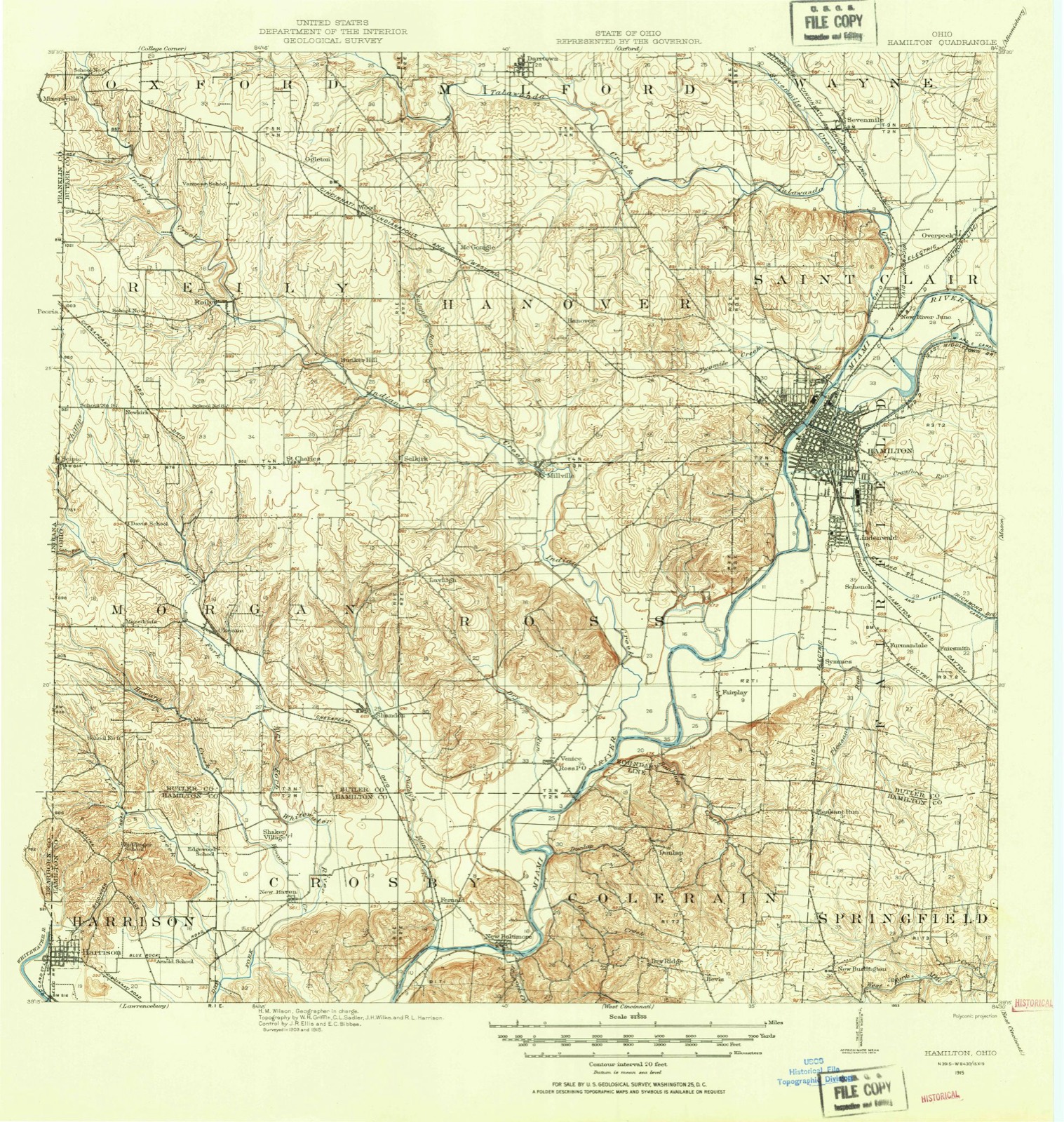
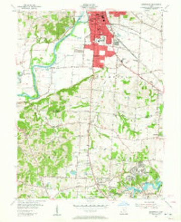
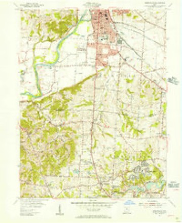
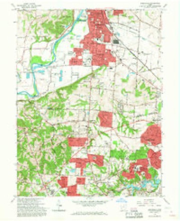
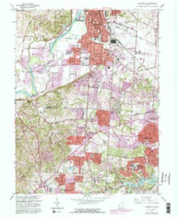
16 topographic sheets cover this place, the earliest surveyed in 1915 and the latest in 1986. It stands in Colerain Township. It lies in ZIP code area 45231. The Survey maps it on the Greenhills quadrangle.
Then and now
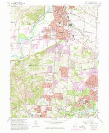
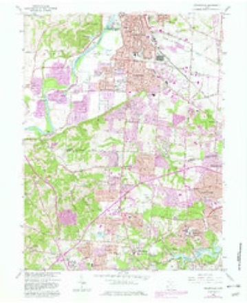
1915 to 1986The same ground, surveyed 71 years apart. Drag the handle to wipe between them. Both sheets are United States Geological Survey originals; neither has been altered.

Topographic sheets covering this place
16 sheetsMatched by testing this settlement's coordinate against the published boundary of every sheet in the United States Geological Survey's historical collection. Each opens the scanned sheet at the Survey.
- 1915 USGS Hamilton quadrangle1:62500
- 1915 USGS Hamilton quadrangle1:62500
- 1917 USGS Hamilton quadrangle1:62500
- 1953 USGS Cincinnati quadrangle1:250000
- 1953 USGS Cincinnati quadrangle1:250000
- 1953 USGS Cincinnati quadrangle1:250000
- 1955 USGS Greenhills quadrangle1:24000
- 1955 USGS Greenhills quadrangle1:24000
- 1957 USGS Cincinnati quadrangle1:250000
- 1965 USGS Greenhills quadrangle1:24000
- 1965 USGS Greenhills quadrangle1:24000
- 1965 USGS Greenhills quadrangle1:24000
- 1965 USGS Greenhills quadrangle1:24000
- 1986 USGS Cincinnati quadrangle1:100000
- 1986 USGS Cincinnati quadrangle1:100000
- 1986 USGS Cincinnati quadrangle1:100000







What happened here
An account from the chapter on Colerain township, The inset identifies its exact source book and publication year.
Population Jared Cloud
of Colerain township, was born on St. Patrick's day, the seventeenth of March, 1808; is Of Welsh, and Enghsh descent on his father's side and of French descent on that of his mother. Mason Jones Cloud, his grandfather, came from Virginia about the year 1778, and settled in Boone county, Kentucky. Unfortunately for the fate of Mason, he was required to return to Virginia for a sum of money there due him, and after only a three days' stay in his new home, in company with two others, set out on his perilous trip, and, with his companions, was massacred on Licking river by the hostile Indians.
In the county-history sources
9,514 words on this townshipHistory of Hamilton County, Ohio, with Illustrations and Biographical Sketches, published 1881 names this settlement in its chapter on Colerain Township. These are the passages that mention it, exactly as the scans read.
The township is pretty well provided with wagon-roads; but the great highway through it is the famous Colerain pike, which intersects it almost in a diagonal from Mount Airy, first beyond the southeast corner of the township, to a point upon the river-road in the direction of Venice, Butler county, very near the northwest corner. It is described in King's Pocket-book of Cincinnati, as "a continuation of Central avenue. At the junction of Central avenue with Denman street, the site of the old Brighton house, it takes a northerly direction, passing through Camp Washington by the workhouse and the house of refuge, through Cumminsville (by the Wesleyan cemetery) and Mount Airy, on to Colerain township, from which it received its name. Continuing, it passes through Venice and Oxford, in Butler county, where it is known as the Cincinnati pike. The road is well macadamized." After leaving Mount Airy at a mile's distance, it passes the village of Groesbeck, in Colerain township; a little more than two miles further it passes through Bevis, and at about three miles' distance the old village site of Georgetown. All the villages of the tpwnship, except Pleasant Run, a hamlet in the northwest corner, are situated upon this fine road.
Passage source: History of Hamilton County, Ohio, with Illustrations and Biographical Sketches, published 1881.
Machine-read from a century-old scan, so expect the errors a machine makes: misspelled names, dropped words, stray characters.
Specimens collected near this place
12 of 1,913 shownRegional context, not property-specific evidence. Museums hold 1,913 specimens collected within 10 miles of Pleasant Run between 1819 and 1975: 979 Fungi, 630 Animalia, 184 Plantae, 104 Protozoa, 9 Chromista, 6 Unrecorded, 1 Bacteria. 12 distinct Species records are shown. Collected by A Schwartz, A. P. Morgan, A. R. Gaufin and others. Each is a physical object with a catalogue number, and each entry opens the museum's record. This is what was collected and kept, not a survey of what lives here - nothing can be concluded from a species being absent.
| Image | Species | Year | Collected by | Where, as recorded |
|---|---|---|---|---|
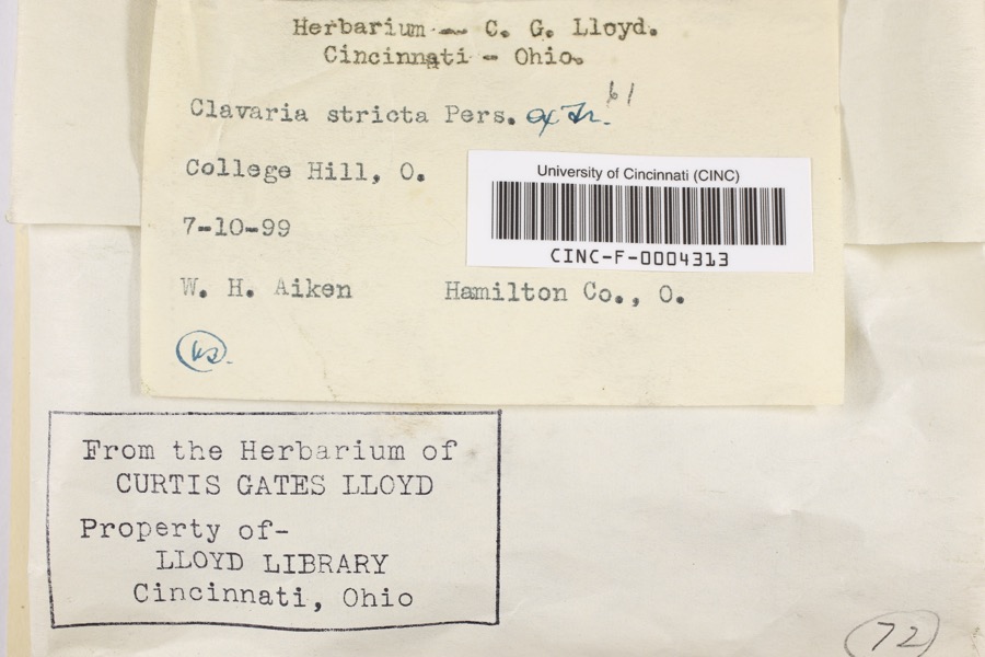 | Clavaria striata Pers. | 1899 | Aiken, Walter H. | College Hill |
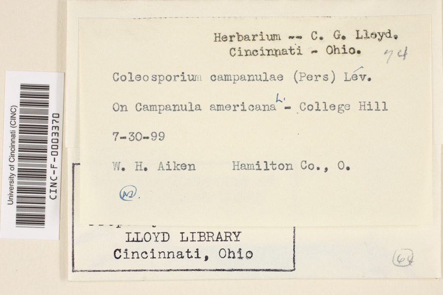 | Coleosporium campanulae (Pers.) Tul. | 1899 | Aiken, Walter H. | College Hill |
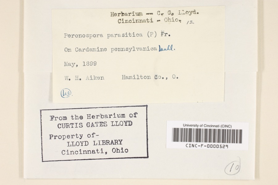 | Peronospora parasitica (Pers.) De Bary | 1899 | Aiken, Walter H. | Hamilton County, Ohio |
 | Quercus × leana Nutt. | 1819 | Thomas Nuttall | 3 miles North of Cincinnati |
 | Carex davisii Schwein. & Torr. | 1835 | Frank | in ditione Miami civitatis Ohio |
 | Mentha arvensis var. glabrata (Benth.) Fernald | 1835 | Collector unspecified | Miami. |
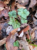 | Sanicula canadensis L. | 1835 | Frank | in ditione Miami civitatis Ohio |
 | Monotropa uniflora L. | 1836 | Haupt, J.G. | 4 mile NW. Cincinnati |
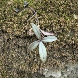 | Phlox divaricata L. | 1841 | not recorded | 2.5 miles north of Cincinnati |
 | Triodopsis tridentata (Say, 1817) | 1857 | Bartlett, John | Cincinnati |
 | Piranga rubra (Linnaeus, 1758) | 1874 | Porter collection, J.B. | |
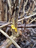 | Berberis vulgaris L. | 1875 | s.c. | Spring Grove |
All 1,913 specimens within 10 miles, at the Global Biodiversity Information Facility.
Mines and quarries near this place
1 within 5 milesRegional context, not property-specific evidence. The federal mineral resources record lists 1 working within 5 miles of Pleasant Run: 1 producer. All of them still produce. What was taken out: Sand and Gravel, Construction. Distance is straight-line from the map coordinates, so a quarry counted here may appear on a neighbouring settlement's page as well.
| Where | Site | Commodity | Status | Recorded |
|---|---|---|---|---|
| Fairfield Pit | Sand and Gravel, Construction | Producer |
Nearest settlements
The eight closest, with where each one stands in the county. Distances are straight-line, computed from the Geographic Names Information System coordinates.
| Map | Place | Distance | Sheets |
|---|---|---|---|
| Pleasant Run Farm | 0.9 miles | 16 | |
| Mount Healthy Heights | 2.0 miles | 16 | |
| New Burlington | 2.8 miles | 16 | |
| Dunlap | 2.9 miles | 16 | |
| Greenhills | 3.1 miles | 16 | |
| Forest Park | 3.2 miles | 16 | |
| Bevis | 3.5 miles | 16 | |
| Northgate | 3.6 miles | 16 |
Provenance
This settlement is recorded in the Geographic Names Information System as feature 1056480. The sheet list is computed by point-in-boundary test against the United States Geological Survey's historical topographic inventory. Both are works of the United States government and carry no copyright under 17 U.S.C. 105.
Specimens. Global Biodiversity Information Facility (GBIF), https://www.gbif.org/. Only records licensed CC0 or CC BY are used. Records licensed CC BY-NC are excluded because this site carries advertising. Images are checked individually and any whose licence is non-commercial, no-derivatives or unreadable is refused.
Mines and quarries. USGS Mineral Resources Data System (MRDS) https://mrdata.usgs.gov/mrds/ A work of the United States government, no copyright under 17 U.S.C. 105.