 Block
Block
Durbin, Ohio
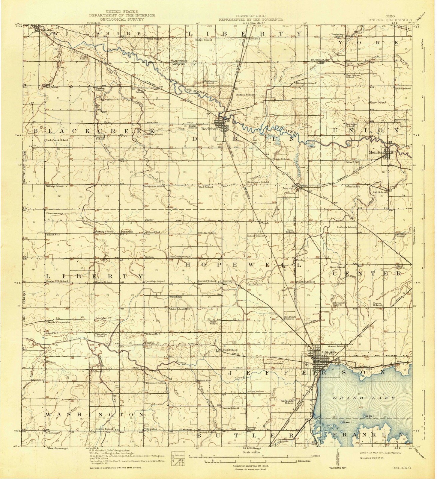
13 topographic sheets cover this place, the earliest surveyed in 1914 and the latest in 1986. It stands in Liberty Township. It lies in ZIP code area 45822. It stands on Big Run. The Survey maps it on the Erastus quadrangle.
Then and now
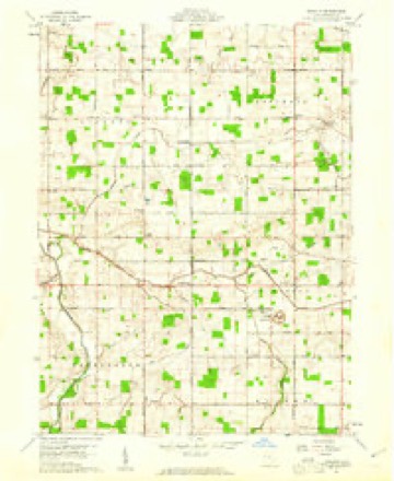
1914 to 1986The same ground, surveyed 72 years apart. Drag the handle to wipe between them. Both sheets are United States Geological Survey originals; neither has been altered.

Topographic sheets covering this place
13 sheetsMatched by testing this settlement's coordinate against the published boundary of every sheet in the United States Geological Survey's historical collection. Each opens the scanned sheet at the Survey.
- 1914 USGS Celina quadrangle1:62500
- 1944 USGS Celina quadrangle1:62500
- 1953 USGS Muncie quadrangle1:250000
- 1953 USGS Muncie quadrangle1:250000
- 1953 USGS Muncie quadrangle1:250000
- 1953 USGS Muncie quadrangle1:250000
- 1953 USGS Muncie quadrangle1:250000
- 1956 USGS Muncie quadrangle1:250000
- 1960 USGS Erastus quadrangle1:24000
- 1960 USGS Erastus quadrangle1:24000
- 1986 USGS Lima quadrangle1:100000
- 1986 USGS Lima quadrangle1:100000
- 1986 USGS Lima quadrangle1:100000









In the 1907 county history
858 words on this townshipThe county history of 1907 has no passage naming this settlement, which was common for the smaller places. Its township is covered in full.
The chapter on Liberty Township covers the township.
Read the chapter on Liberty Township - 858 words.
Specimens collected nearby
12 of 219 shownMuseums hold 219 specimens collected within 10 miles of Durbin between 1840 and 1973: 215 Animalia, 2 Plantae, 1 Unrecorded, 1 Bacteria. 12 distinct Species records are shown. Collected by . R. Slonakerj, Adler, K. K., Brown, H P and others. Each is a physical object with a catalogue number, and each entry opens the museum's record. This is what was collected and kept, not a survey of what lives here - nothing can be concluded from a species being absent.
| Image | Species | Year | Collected by | Where, as recorded |
|---|---|---|---|---|
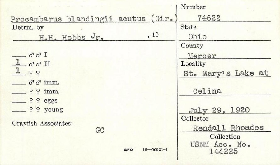 | Procambarus blandingii (Harlan, 1830) | 1920 | R. Rhoades | St. Marys Lake at Celina |
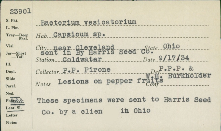 | unnamed | 1934 | P. P. Pirone | Coldwater |
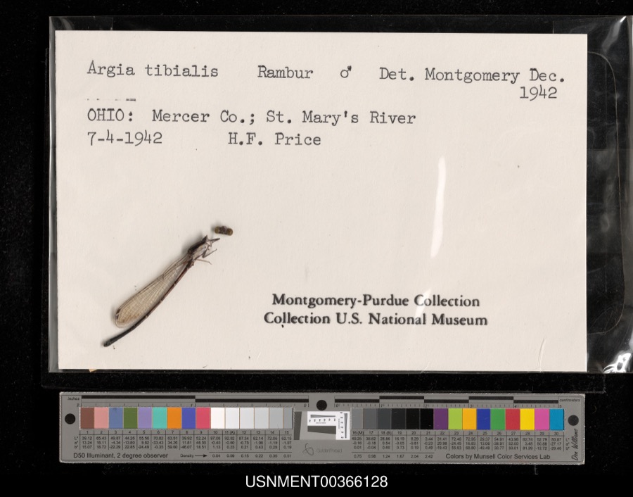 | Argia tibialis (Rambur, 1842) | 1942 | H. Price | St. Mary's River |
 | Silene virginica L. | 1840 | J. Wolle, D. Blum | |
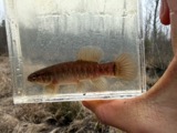 | Umbra limi (Kirtland, 1840) | 1886 | Meek and Harris | Montezuma |
 | Ardea alba egretta Gmelin, 1789 | 1888 | J. R. Slonaker | Celina |
 | Calidris canutus (Linnaeus, 1758) | 1888 | J. R. Slonaker | Celina |
 | Ceryle alcyon alcyon Cramp & Simmons, 1977-1994 | 1888 | J. R. Slonaker | Celina |
 | Charadrius vociferus Linnaeus, 1758 | 1888 | J. R. Slonaker | Celina |
 | Cistothorus palustris dissaeptus Bangs, 1902 | 1888 | J. R. Slonaker | Celina |
 | Gallinago gallinago delicata (Ord, 1825) | 1888 | J. R. Slonaker | Celina |
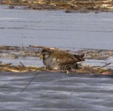 | Porzana carolina (Linnaeus, 1758) | 1888 | J.R.S. | Celina |
All 219 specimens within 10 miles, at the Global Biodiversity Information Facility.
Mines and quarries nearby
2 within 5 milesThe federal mineral resources record lists 2 workings within 5 miles of Durbin: 1 past producer, 1 producer. 1 still produces. What was taken out: Limestone, General, Stone, Crushed/Broken. Distance is straight-line from the map coordinates, so a quarry counted here may appear on a neighbouring settlement's page as well.
| Where | Site | Commodity | Status | Recorded |
|---|---|---|---|---|
| John W. Karch Quarry | Limestone, General | Past Producer | Sedimentary | |
| John W. Karch Quarry | Stone, Crushed/Broken | Producer |
Storms nearby
4 since 2013The National Weather Service names Durbin in 4 storm reports between 2013 and 2020: 2 thunderstorm wind, 1 tornado, 1 hail. The reports record 1 death and 8 injuries. Each account below is quoted exactly as the forecast office filed it, from the NOAA Storm Events Database, and each date opens the federal record of that event.
| When | Event | Place named | Harm | What the report says |
|---|---|---|---|---|
| May 2019 | Tornado (EF3) | Durbin | 1 killed, 8 hurt, $15,000,000 | The tornado appeared to have first touched down west of Celina, near the intersection of Township Line Road and Bunker Hill Road, where about half of a barn's metal roof was removed and strewn in a narrow path to the east-northeast. At least two other barns also lost nearly half of their metal roofing in the vicinity of Bunker Hill Road. Numerous trees in this area, with trunk diameters of 18 to 24 inches, were also snapped and blown down in various directions. This type of damage was consistent with wind speeds of up to 90 mph and associated with an EF1 tornado. ||The next damage occurred to homes and adjacent outbuildings along Mud Pike Road, immediately southeast of the intersection with State Route 118. Two homes retained their main roof structure but many shingles were removed. Two outbuildings and a larger barn were destroyed, likely resulting from EF1 tornado winds of 100 to 110 mph. Additional damage occurred along Hellwarth Road, just south of the intersection with Fairground Road. Several homes and outbuildings were damaged, with the most serious being a home that lost much of its roof and some exterior walls. High-end EF2 tornado winds of 125 to 135 mph likely caused the worst damage at this location. ||The tornado path continued generally along Fairground Road from just east of the intersection with Hellwarth Road to the western corporation limit of the city of Celina. Homes, outbuildings, trees and utility poles were damaged here, and a free-standing cellular communication tower was knocked down. At least two homes suffered partial roof loss and one home lost its entire roof. The cellular tower was a lattice structure at least 300 feet tall and two of the three support attachments at the ground were broken. A 50 to 100 yard swath of trees were snapped and uprooted in a forested area leading up to the western edge of Celina. The damage to the cellular tower and trees was indicative of EF2 tornado wind speeds of 125 to 135 mph. ||More substantial damage was observed just inside the western corporation limit of the city of Celina, along Fairground Road. At least a dozen homes were severely damaged here, with roofs completely uplifted and removed, along with many exterior walls collapsed. One residence was completely lifted from its foundation, with interior walls largely intact, and dropped in an adjoining field approximately 70 yards to the north-northeast. This residence was anchored to a cinder block foundation, with the upper level or two of blocks breaking from the rest under the force of the wind. Significant mud spatter was also observed on what remained of these homes, especially on the north and northeast facing sides, implying a strongly rotating column of air in contact with a nearby muddy field. This type of damage was consistent with wind speeds up to 150 mph and associated with an EF3 tornado. In this area along Fairground Road, a vehicle was thrown into a house, killing a person inside of the house. ||Significant damage continued into a cluster of homes near and northwest of the intersection of Fairground Road and Touvelle Street in Celina. At least two dozen of these homes had partial or complete roof failure and many exterior walls collapsed. Two residences on either side of Jill Avenue were missing large portions of their exterior walls, indicative of winds as high as 140 to 150 mph and associated with an EF3 tornado. Evidence of multiple vortices within the tornado was also evident in the debris pattern here. Several cars were displaced by the wind and uplift in this neighborhood. A thick layer of mud was also spattered on the east and northeast facing sides of these structures, largely opposite the direction of the incoming tornado. ||The degree and extent of damage started to gradually lessen east-northeast from near Touvelle Street to U.S. 127. From there the tornado continued to track farther northeast to near the community of Neptune. An approximately 100 yard swath of trees were snapped and uprooted in a small forested area between U.S. 127 and Celina-Mendon Road, north of Myers Road. A garage roof was displaced off the main structure along Celina-Mendon Road, between State Route 197 and Howick Road, causing exterior walls to also collapse. This damage was likely the result of EF2 tornado winds of 115 to 125 mph. ||A garage was destroyed along State Route 197, just northeast of the intersection with Rice Road. A house farther northeast along Riley Road, just south of the intersection with State Route 197, suffered partial roof removal along with the collapse of a few exterior walls. Based on the damage, wind speeds here were estimated to be at the upper-end of the EF1 range, between 100 and 110 mph. A debris path was evident into the field immediately east-northeast, where the tornado appeared to finally lift. |
| May 2015 | Thunderstorm Wind | Durbin | $2,000 | A large tree was downed and a power pole was snapped due to thunderstorm winds. |
| November 2013 | Thunderstorm Wind | Durbin | $1,000 | A power pole was downed on Mud Pike between Erastus Durbin and Township Line Roads due to thunderstorm winds. |
| July 2020 | Hail | Durbin | - | no account filed |
Nearest settlements
The eight closest, with where each one stands in the county. Distances are straight-line, computed from the Geographic Names Information System coordinates.
| Map | Place | Distance | Sheets |
|---|---|---|---|
| Striptown (historical) | 2.2 miles | 13 | |
| Scudder | 2.3 miles | 13 | |
| Wabash | 2.4 miles | 13 | |
| Erastus | 3.5 miles | 13 | |
| Hinton | 3.5 miles | 13 | |
| Shively | 4.1 miles | 13 | |
| Skeels Crossroads | 4.2 miles | 13 | |
| Bursville | 4.7 miles | 12 |
Provenance
This settlement is recorded in the Geographic Names Information System as feature 1062740. The sheet list is computed by point-in-boundary test against the United States Geological Survey's historical topographic inventory. Both are works of the United States government and carry no copyright under 17 U.S.C. 105.
Specimens. Global Biodiversity Information Facility (GBIF), https://www.gbif.org/. Only records licensed CC0 or CC BY are used. Records licensed CC BY-NC are excluded because this site carries advertising. Images are checked individually and any whose licence is non-commercial, no-derivatives or unreadable is refused.
Mines and quarries. USGS Mineral Resources Data System (MRDS) https://mrdata.usgs.gov/mrds/ A work of the United States government, no copyright under 17 U.S.C. 105.
Storms. NOAA National Centers for Environmental Information, Storm Events Database https://www.ncei.noaa.gov/stormevents/ A work of the United States government, no copyright under 17 U.S.C. 105. Narratives are quoted verbatim from the National Weather Service report and are not edited or summarised.