 Block
Block
Wabash, Ohio
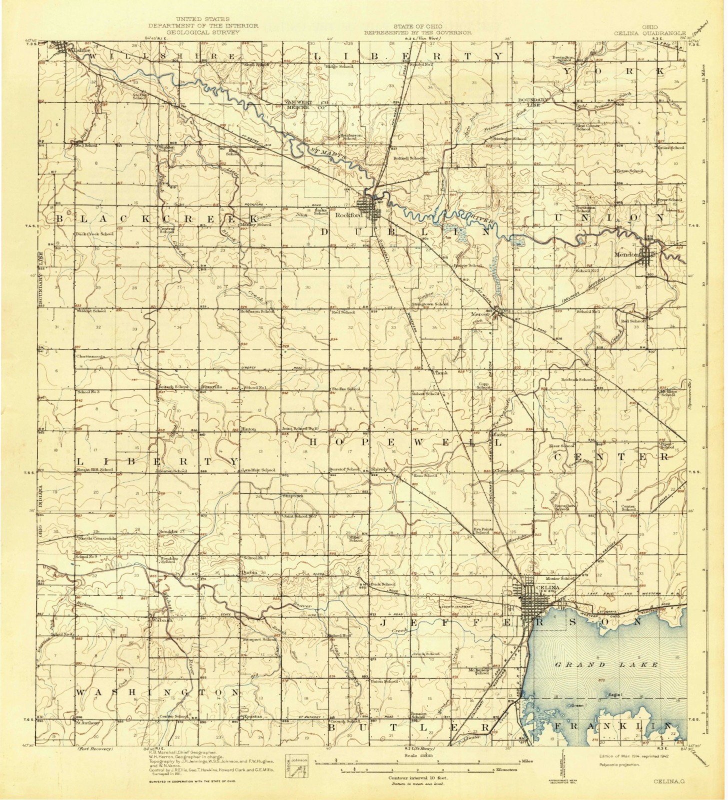
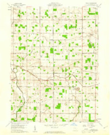
13 topographic sheets cover this place, the earliest surveyed in 1914 and the latest in 1986. It stands in Washington Township. It lies in ZIP code area 45822. It stands on Crab Branch. The Survey maps it on the New Corydon quadrangle.
Then and now
1914 to 1986The same ground, surveyed 72 years apart. Drag the handle to wipe between them. Both sheets are United States Geological Survey originals; neither has been altered.

Topographic sheets covering this place
13 sheetsMatched by testing this settlement's coordinate against the published boundary of every sheet in the United States Geological Survey's historical collection. Each opens the scanned sheet at the Survey.
- 1914 USGS Celina quadrangle1:62500
- 1944 USGS Celina quadrangle1:62500
- 1953 USGS Muncie quadrangle1:250000
- 1953 USGS Muncie quadrangle1:250000
- 1953 USGS Muncie quadrangle1:250000
- 1953 USGS Muncie quadrangle1:250000
- 1953 USGS Muncie quadrangle1:250000
- 1956 USGS Muncie quadrangle1:250000
- 1960 USGS Erastus quadrangle1:24000
- 1960 USGS Erastus quadrangle1:24000
- 1986 USGS Lima quadrangle1:100000
- 1986 USGS Lima quadrangle1:100000
- 1986 USGS Lima quadrangle1:100000









In the county-history sources
2,346 words on this townshipHistory of Mercer County, Ohio, and Representative Citizens, published 1907 names this settlement in its chapter on Washington Township. These are the passages that mention it, exactly as the scans read.
This township is bounded on the north by Liberty township, on the east by Jefferson and Butler townships, on the south by Recovery township and on the west by the State of Indiana. It is regular in form and contains 36 square miles. It is crossed from south to north by the Wabash River, while Beaver Creek flows across its northeast corner. These form sufficient courses of natural drainage and the township has rapidly improved in all its agricultural features. The population is largely German in character and is enterprising and industrious.
Passage source: History of Mercer County, Ohio, and Representative Citizens, published 1907.
Washington township has two Christian or New Light churches - Bethel and Wabash. Bethel Church was organized by Elder O. S. Green, June 17, 1871. with 31 communicants, with the Bible as their only rule of faith and practice, and Christian character as the only test of Christian fellowship. Elder Green was chosen pastor and filled the position many years. By 1880 the church had grown to a membership of between 80 and 90. - Wabash Church was organized at the town of Wabash, March 28, 1880, by Elder O. S. Green, with 11 communicants, with the same tenets as Bethel Church. The first officers of the church were the following: Deacons - Joseph Doner and
Passage source: History of Mercer County, Ohio, and Representative Citizens, published 1907.
Machine-read from a century-old scan, so expect the errors a machine makes: misspelled names, dropped words, stray characters.
Specimens collected near this place
12 of 211 shownRegional context, not property-specific evidence. Museums hold 211 specimens collected within 10 miles of Wabash between 1840 and 1973: 208 Animalia, 1 Plantae, 1 Unrecorded, 1 Bacteria. 12 distinct Species records are shown. Collected by . R. Slonakerj, Adler, K. K., Brown, H P and others. Each is a physical object with a catalogue number, and each entry opens the museum's record. This is what was collected and kept, not a survey of what lives here - nothing can be concluded from a species being absent.
| Image | Species | Year | Collected by | Where, as recorded |
|---|---|---|---|---|
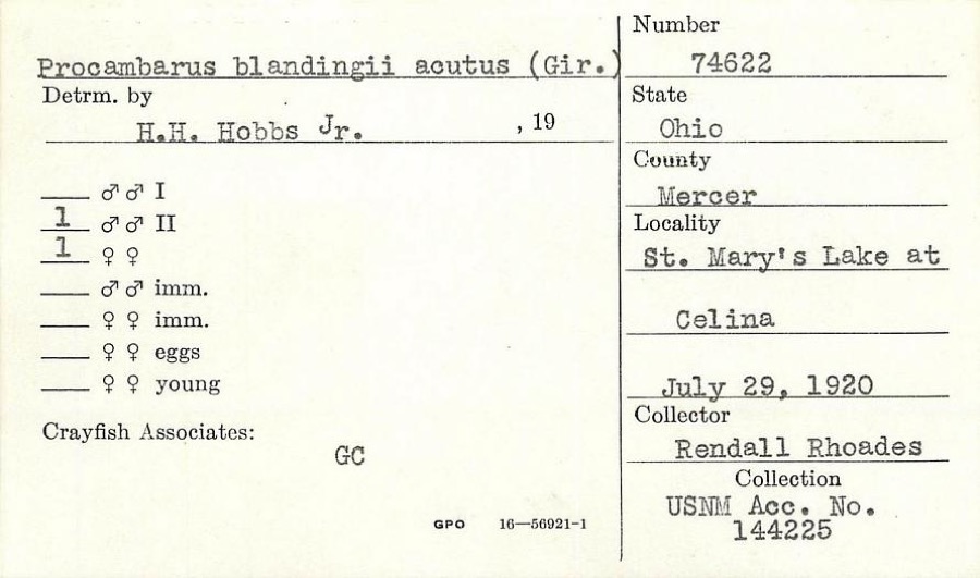 | Procambarus blandingii (Harlan, 1830) | 1920 | R. Rhoades | St. Marys Lake at Celina |
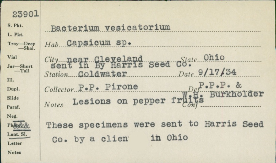 | unnamed | 1934 | P. P. Pirone | Coldwater |
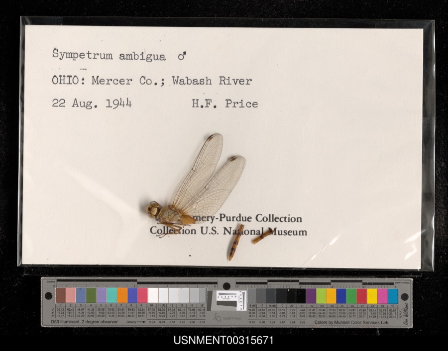 | Sympetrum ambiguum (Rambur, 1842) | 1944 | H. Price | Wabash River |
 | Silene virginica L. | 1840 | J. Wolle, D. Blum | |
 | Ardea alba egretta Gmelin, 1789 | 1888 | J. R. Slonaker | Celina |
 | Calidris canutus (Linnaeus, 1758) | 1888 | J. R. Slonaker | Celina |
 | Ceryle alcyon alcyon Cramp & Simmons, 1977-1994 | 1888 | J. R. Slonaker | Celina |
 | Charadrius vociferus Linnaeus, 1758 | 1888 | J. R. Slonaker | Celina |
 | Cistothorus palustris dissaeptus Bangs, 1902 | 1888 | J. R. Slonaker | Celina |
 | Gallinago gallinago delicata (Ord, 1825) | 1888 | J. R. Slonaker | Celina |
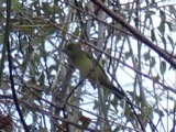 | Piranga olivacea (J.F.Gmelin, 1789) | 1888 | J. R. Slonaker | Fort Recovery |
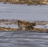 | Porzana carolina (Linnaeus, 1758) | 1888 | J.R.S. | Celina |
All 211 specimens within 10 miles, at the Global Biodiversity Information Facility.
Storms near this place
7 since 1995Regional context, not property-specific evidence. The National Weather Service names Wabash in 7 storm reports between 1995 and 2024: 4 flood, 1 hail, 1 heavy rain, 1 tornado. No death or injury is recorded in these reports. Each account below is quoted exactly as the forecast office filed it, from the NOAA Storm Events Database, and each date opens the federal record of that event.
| When | Event | Place named | Harm | What the report says |
|---|---|---|---|---|
| March 2024 | Tornado (EF1) | Wabash | $250,000 | The tornado initially began at 1740EST over an open field in Adams County, Indiana, north of the intersection of East County Road 1200 South and South County Road 600 East and moved east toward the Indiana/Ohio State line.||The tornado entered Mercer County, Ohio, at 1745EST, along Skeels Road, where minor damage was observed to a house. The most confident corridor of EF-1 tornado damage, estimated to be around 100 mph, occurred shortly after the tornado developed. Most of the damage was confined to a few properties south of the intersection of Skeels Road and State Route 49. Several outbuildings were completely destroyed and one house received some roof damage. The tornado continued eastward and followed Carmel Church Road, where it caused numerous tree and additional outbuilding damage. ||A more southeast motion of the tornado started at the intersection of Carmel Church Road and Erastus Durbin Road. Additional damage was observed between this location and the intersection of Now and Mud Pike Roads. The final corridor of damage was observed along Mud Pike Road and toward the intersection at State Route 118, where several homes were damaged. The tornado dissipated east of this location. |
| April 2019 | Flood | Wabash | - | Numerous roads were still closed due to flooding. Most were near the Wabash River or Beaver Creek. |
| June 2015 | Flood | Wabash | - | State Route 49 closed from State Route 29 to Carmel Church Road due to high water. |
| June 2015 | Flood | Wabash | - | Ohio State Line Road was closed between Minch Road and Skeels Roads. |
| June 2015 | Flood | Wabash | - | Ohio-Indiana State Line Road was closed between Skeels and Minch Roads due to high water. |
| May 2011 | Heavy Rain | Wabash | - | Some water was reported over roadways due to heavy rainfall. |
| June 1995 | Hail | Wabash | - | no account filed |
Nearest settlements
The eight closest, with where each one stands in the county. Distances are straight-line, computed from the Geographic Names Information System coordinates.
| Map | Place | Distance | Sheets |
|---|---|---|---|
| Scudder | 2.0 miles | 13 | |
| Durbin | 2.4 miles | 13 | |
| Skeels Crossroads | 2.7 miles | 13 | |
| Padua | 3.1 miles | 13 | |
| Erastus | 3.4 miles | 13 | |
| Striptown (historical) | 4.4 miles | 13 | |
| Macedon | 4.6 miles | 14 | |
| Hinton | 5.0 miles | 13 |
Elsewhere
Matched on this settlement's Geographic Names Information System number rather than its name, so it cannot be a different place of the same name in another state.
| Wikipedia article on Wabash | An encyclopaedic summary. Its text is share-alike, so it is linked here rather than copied. |
| Wikidata item Q23698524 | The structured record the population and elevation above come from. Public domain (CC0). |
Provenance
This settlement is recorded in the Geographic Names Information System as feature 1056559. The sheet list is computed by point-in-boundary test against the United States Geological Survey's historical topographic inventory. Both are works of the United States government and carry no copyright under 17 U.S.C. 105.
Specimens. Global Biodiversity Information Facility (GBIF), https://www.gbif.org/. Only records licensed CC0 or CC BY are used. Records licensed CC BY-NC are excluded because this site carries advertising. Images are checked individually and any whose licence is non-commercial, no-derivatives or unreadable is refused.
Storms. NOAA National Centers for Environmental Information, Storm Events Database https://www.ncei.noaa.gov/stormevents/ A work of the United States government, no copyright under 17 U.S.C. 105. Narratives are quoted verbatim from the National Weather Service report and are not edited or summarised.