 Block
Block
Dutch Alley, Ohio
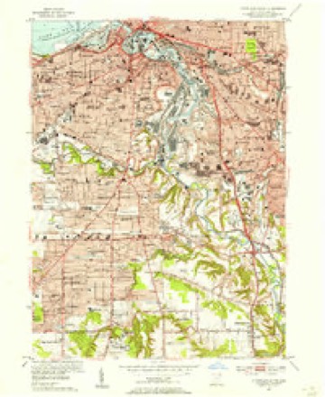
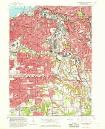
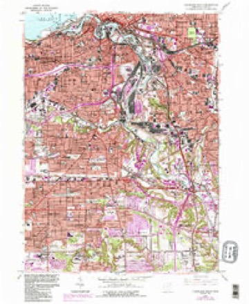
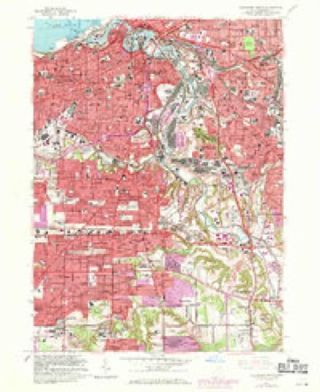
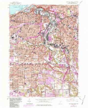
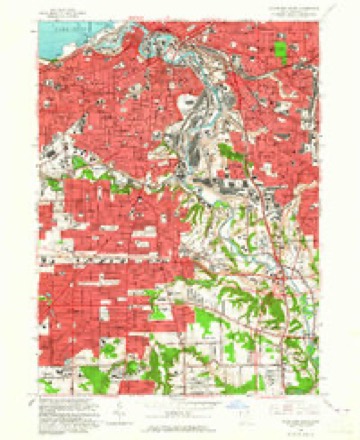
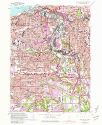
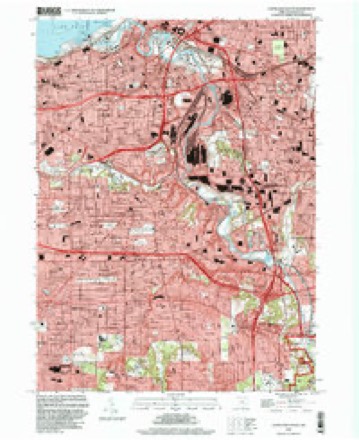
16 topographic sheets cover this place, the earliest surveyed in 1903 and the latest in 1994. It stands in Cleveland City. It lies in ZIP code area 44104. The Survey maps it on the Cleveland South quadrangle.
Then and now
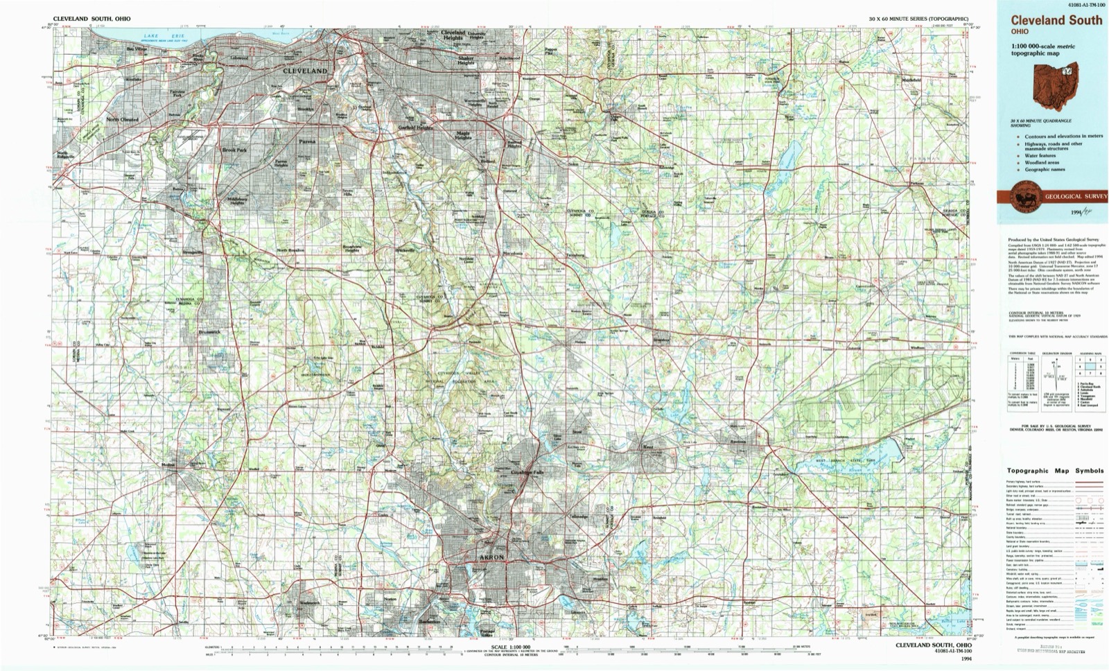
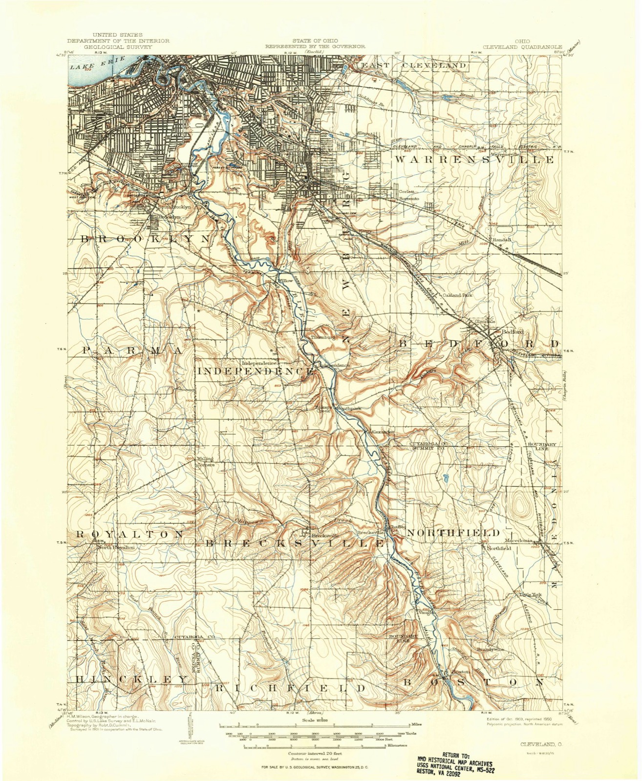
1903 to 1994The same ground, surveyed 91 years apart. Drag the handle to wipe between them. Both sheets are United States Geological Survey originals; neither has been altered.
Topographic sheets covering this place
16 sheetsMatched by testing this settlement's coordinate against the published boundary of every sheet in the United States Geological Survey's historical collection. Each opens the scanned sheet at the Survey.
- 1903 USGS Cleveland quadrangle1:62500
- 1903 USGS Cleveland quadrangle1:62500
- 1953 USGS Cleveland South quadrangle1:24000
- 1956 USGS Cleveland quadrangle1:250000
- 1956 USGS Cleveland quadrangle1:250000
- 1956 USGS Cleveland quadrangle1:250000
- 1962 USGS Cleveland quadrangle1:250000
- 1963 USGS Cleveland South quadrangle1:24000
- 1963 USGS Cleveland South quadrangle1:24000
- 1963 USGS Cleveland South quadrangle1:24000
- 1963 USGS Cleveland South quadrangle1:24000
- 1963 USGS Cleveland South quadrangle1:24000
- 1963 USGS Cleveland South quadrangle1:24000
- 1986 USGS Cleveland South quadrangle1:100000
- 1994 USGS Cleveland South quadrangle1:24000
- 1994 USGS Cleveland South quadrangle1:100000






In the 1870 county history
23,212 words on this townshipThe county history of 1870 has no passage naming this settlement, which was common for the smaller places. Its township is covered in full.
The chapter on Cleveland City covers the township.
Read the chapter on Cleveland City - 23,212 words.
Fires nearby
1 since 2018The federal wildfire occurrence database lists 1 fire within 5 miles of Dutch Alley between 2018 and 2018, burning about 0 acres in total. 1 started naturally. None was recorded as arson. Distance is straight-line from the map coordinates, so a fire counted here may appear on a neighbouring settlement's page as well.
| Reported cause | Fires |
|---|---|
| Natural | 1 |
The most recent of them, most recent first, with the day each was reported and the service that recorded it.
| Date | Cause | Size | Reported by | Name on the report |
|---|---|---|---|---|
| 18 March 2018 | Natural | under an acre | Cuyahoga Valley National Park | HILLSIDE ROAD |
Settlements close enough to share some of these fires:
Specimens collected nearby
12 of 3,947 shownMuseums hold 3,947 specimens collected within 10 miles of Dutch Alley between 1849 and 1975: 3,536 Animalia, 215 Fungi, 117 Plantae, 73 Protozoa, 4 Unrecorded, 1 Chromista, 1 incertae sedis. 12 distinct Species records are shown. Collected by A. D. Huryn, A. D. Selby, A. Hall and others. Each is a physical object with a catalogue number, and each entry opens the museum's record. This is what was collected and kept, not a survey of what lives here - nothing can be concluded from a species being absent.
| Image | Species | Year | Collected by | Where, as recorded |
|---|---|---|---|---|
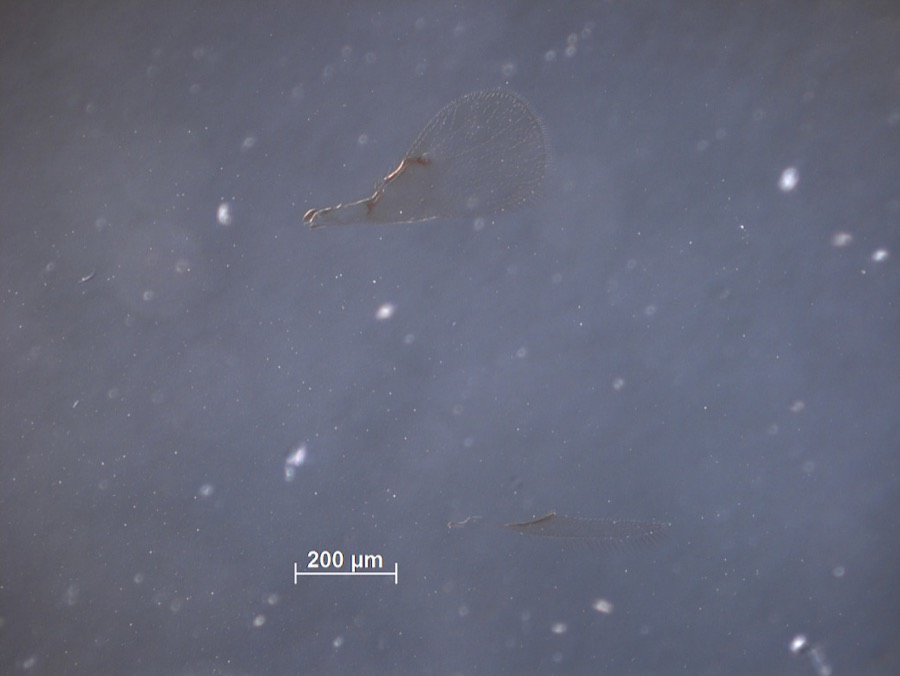 | Brachysticha fidiae Ashmead, 1895 | 1894 | F. Webster | Euclid |
 | Monilia sitophila (Mont.) Sacc. | 1894 | Seymour, Arthur Bliss | Cleveland, O. [Ohio] |
 | Osmunda claytoniana L. | 1894 | Winkler, H.J. | Cleveland. |
 | Setophaga americana (Linnaeus, 1758) | 1849 | Jared P. Kirtland | Rockport |
| Boraginaceae | 1850 | not recorded | Cleveland. | |
 | Carex canescens L. | 1850 | Illegible collector name | Cleveland. |
 | Catillaria tricolor (Lam.) Th.Fr. | 1854 | G. Dixon | Cleveland, Bousdale Hill |
 | Melanerpes carolinus (Linnaeus, 1758) | 1854 | Robert Kennicott | Cleveland |
 | Abrothallus parmeliarum (Sommerf.) Nyl., 1869 | 1860 | Mudd Wm. | Cleveland |
 | Thryothorus ludovicianus ludovicianus (Latham, 1790) | 1860 | not recorded | Cleveland |
 | Colaptes auratus luteus Bangs, 1898 | 1871 | Collector(s): unknown | Cleveland |
 | Timmia megapolitana Hedw. | 1871 | E. N. Claassen |
All 3,947 specimens within 10 miles, at the Global Biodiversity Information Facility.
Mines and quarries nearby
10 of 19 shownThe federal mineral resources record lists 19 workings within 5 miles of Dutch Alley: 10 unknowns, 6 producers, 2 past producers, 1 plant. 7 still produce. What was taken out: Iron, Zirconium, Silica, Halite. Distance is straight-line from the map coordinates, so a quarry counted here may appear on a neighbouring settlement's page as well.
| Where | Site | Commodity | Status | Recorded |
|---|---|---|---|---|
| (Facility) Hanna Nickel Smelter/ Cleveland, Oh | Nickel | Plant | ||
| Brush Wellman/ Cleveland, Ohio | Beryllium | Producer | ||
| Cleveland Mine | Halite | Past Producer | Halite | |
| Cleveland Mine | Salt | Producer | ||
| Cuyahoga Lime Company Plant | Calcium | Producer | ||
| Dock Number 1, Whiskey Island Mill | Sand and Gravel, Construction | Past Producer | Sedimentary | |
| Great Lakes-St Lawrence/ Cleveland | Fluorine-Fluorite | Producer | ||
| Mcgean Chemical/ Cleveland, Ohio | Antimony | Unknown | ||
| Metallurgical Inc/ Cleveland, Ohio | Iron, Aluminum | Unknown | ||
| N. L. Industries | Lead | Unknown |
Nearest settlements
The eight closest, with where each one stands in the county. Distances are straight-line, computed from the Geographic Names Information System coordinates.
| Map | Place | Distance | Sheets |
|---|---|---|---|
| Garden Valley | 0.6 miles | 16 | |
| Woodhill Homes | 1.3 miles | 14 | |
| Big Italy | 1.6 miles | 16 | |
| Little Bohemia | 1.6 miles | 16 | |
| Hough | 1.6 miles | 14 | |
| Doans Corners | 1.7 miles | 14 | |
| Ambler Heights | 2.0 miles | 14 | |
| Poznan | 2.2 miles | 14 |
Elsewhere
Matched on this settlement's Geographic Names Information System number rather than its name, so it cannot be a different place of the same name in another state.
| Wikidata item Q122551042 | The structured record the population and elevation above come from. Public domain (CC0). |
Provenance
This settlement is recorded in the Geographic Names Information System as feature 1073032. The sheet list is computed by point-in-boundary test against the United States Geological Survey's historical topographic inventory. Both are works of the United States government and carry no copyright under 17 U.S.C. 105.
Wildfire. Short, Karen C. 2022. Spatial wildfire occurrence data for the United States, 1992-2020 [FPA_FOD_20221014]. 6th Edition. Fort Collins, CO: Forest Service Research Data Archive. https://doi.org/10.2737/RDS-2013-0009.6 Collected with United States Government funding and usable without additional permissions or fees.
Specimens. Global Biodiversity Information Facility (GBIF), https://www.gbif.org/. Only records licensed CC0 or CC BY are used. Records licensed CC BY-NC are excluded because this site carries advertising. Images are checked individually and any whose licence is non-commercial, no-derivatives or unreadable is refused.
Mines and quarries. USGS Mineral Resources Data System (MRDS) https://mrdata.usgs.gov/mrds/ A work of the United States government, no copyright under 17 U.S.C. 105.