 Block
Block
Brooklyn, Ohio
16 topographic sheets cover this place, the earliest surveyed in 1903 and the latest in 1994. It stands in Brooklyn City. It lies in ZIP code area 44144. It stands on Stickney Creek. The Survey maps it on the Cleveland South quadrangle. 11,359 people lived here at the 2020 count. It stands 764 feet above sea level.
Population over time
2 figuresBrooklyn grew from 11,169 to 11,359 between 2010 and 2020. These are the recorded population figures Wikidata holds for this place, reached through the Geographic Names Information System number this page is keyed on rather than by name, so they belong to this place and not to another of the same name. Most are census counts, but not all are: an early figure may be a founding or settlement estimate. The change column is computed, and is left blank where more than 20 years separate a figure from the one before it, because a gap that long is not a change between two counts.
| Year | People | Change |
|---|---|---|
| 2010 | 11,169 | |
| 2020 | 11,359 | +190 (+2%) |
Then and now
1903 to 1994The same ground, surveyed 91 years apart. Drag the handle to wipe between them. Both sheets are United States Geological Survey originals; neither has been altered.
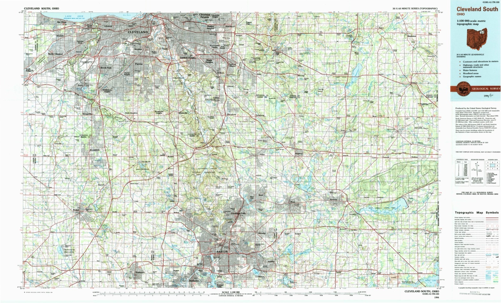
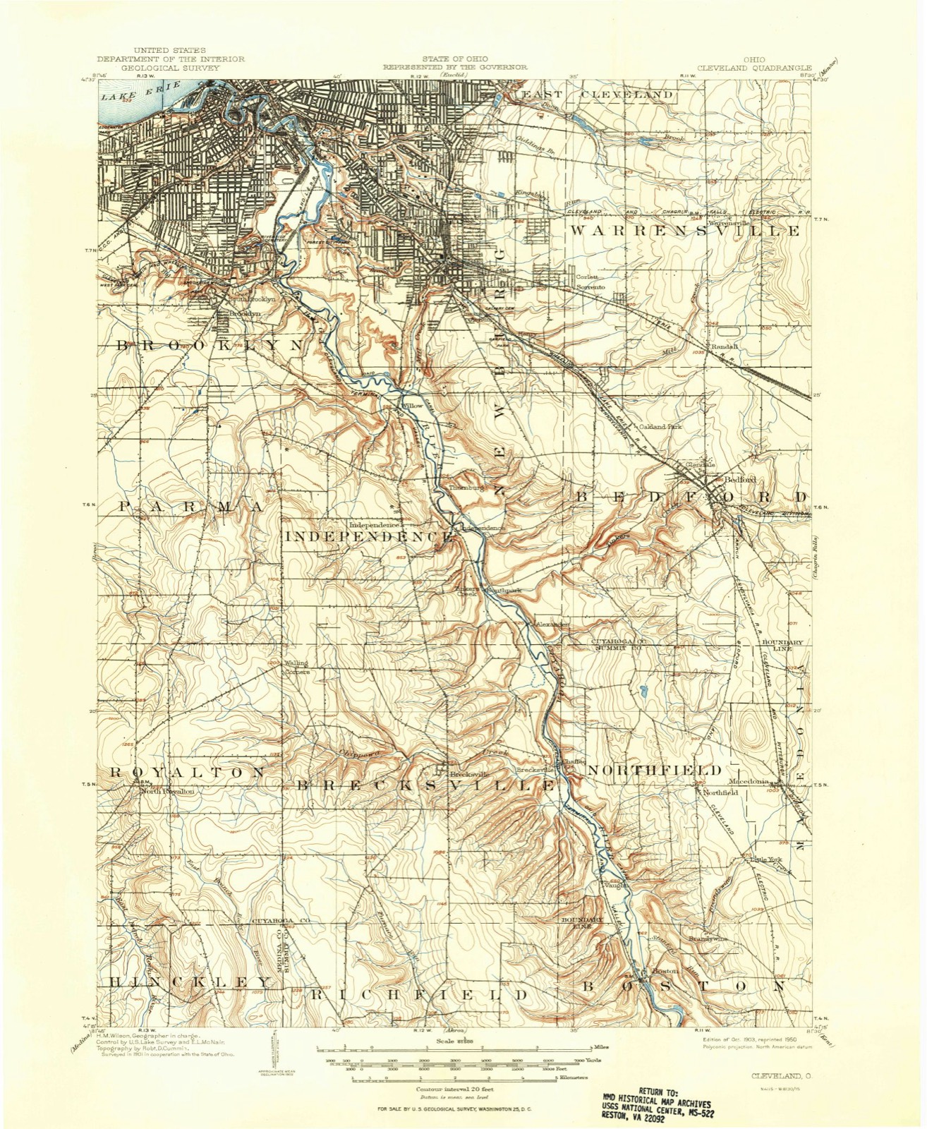
Topographic sheets covering this place
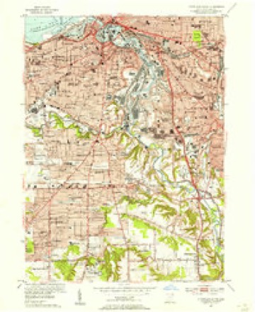
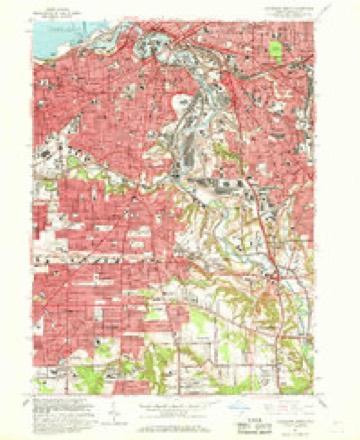
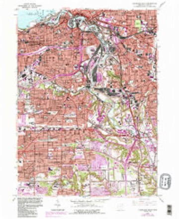
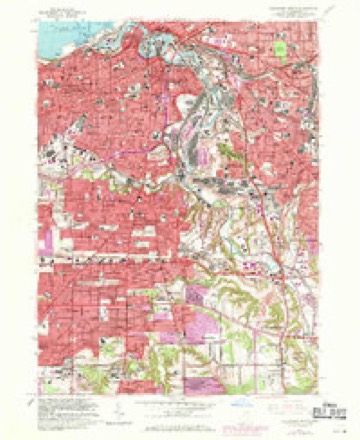
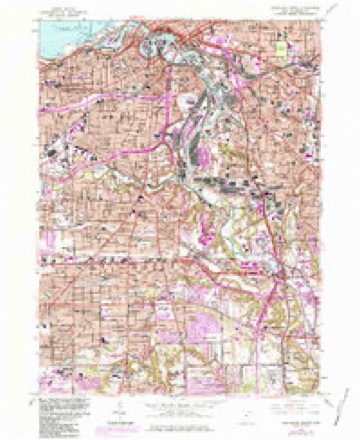
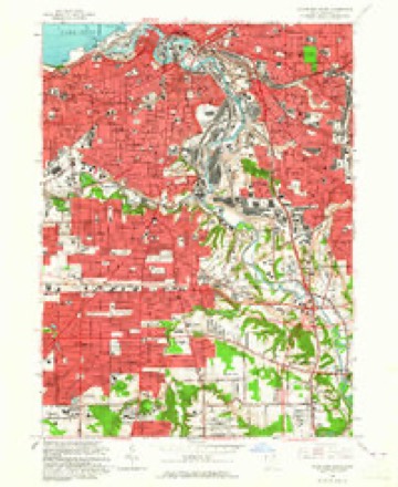
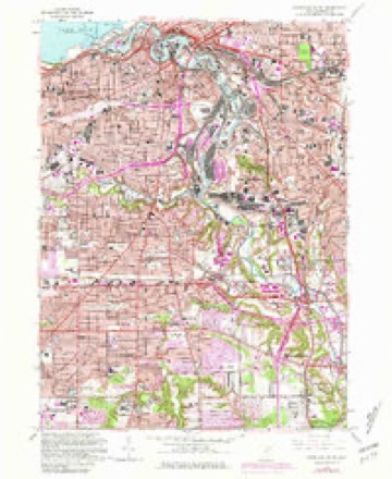
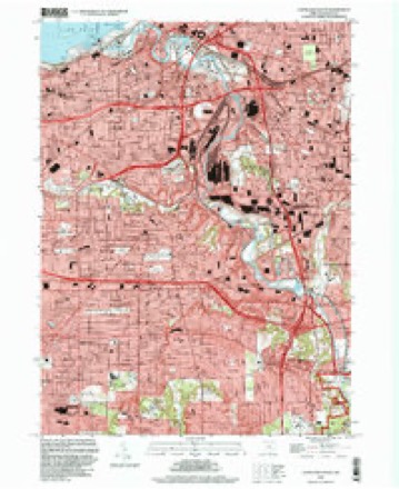
16 sheetsMatched by testing this settlement's coordinate against the published boundary of every sheet in the United States Geological Survey's historical collection. Each opens the scanned sheet at the Survey.
- 1903 USGS Cleveland quadrangle1:62500
- 1903 USGS Cleveland quadrangle1:62500
- 1953 USGS Cleveland South quadrangle1:24000
- 1956 USGS Cleveland quadrangle1:250000
- 1956 USGS Cleveland quadrangle1:250000
- 1956 USGS Cleveland quadrangle1:250000
- 1962 USGS Cleveland quadrangle1:250000
- 1963 USGS Cleveland South quadrangle1:24000
- 1963 USGS Cleveland South quadrangle1:24000
- 1963 USGS Cleveland South quadrangle1:24000
- 1963 USGS Cleveland South quadrangle1:24000
- 1963 USGS Cleveland South quadrangle1:24000
- 1963 USGS Cleveland South quadrangle1:24000
- 1986 USGS Cleveland South quadrangle1:100000
- 1994 USGS Cleveland South quadrangle1:24000
- 1994 USGS Cleveland South quadrangle1:100000






In the county-history sources
7,448 words on this townshipHistory of Cuyahoga County Ohio, published 1870 names this settlement in its chapter on Brooklyn City. These are the passages that mention it, exactly as the scans read.
The Cuyahoga river skirts the eastern part of the township on the east, and separates it from Newburg. Its other water courses are unimportant creeks, which, though once valuable as mill streams, are now of n use for that purpose. The land is generally fertil and farms are valuable, especially near the Clevelanc line, where attention is given to the cultivation o! fruit and garden products; the former industry bein; profitably followed near the lake shore, and the latte. near Brooklyn village.
Passage source: History of Cuyahoga County Ohio, published 1870.
James Fish, above mentioned, had been a resident of Groton, Connecticut, and, having purchased a picce of land of Lord & Barber in the present township of Brooklyn, he set out from Groton in the summer of 1811 with an ox-team and a lumber wagon, in which rode himself, his three children, his wife and her mother. He journeyed west in company with a Jarge party of pioneers, but the only ones besides himself destined for Brooklyn were his two cousins, Moses and Ebenezer Fish - the latter of whom made the entire trip on foot. -Arriving at Cleveland early in the autumn, after forty-seven days on the road, James Fish decided to pass the winter in Newburg, while Ebenezer and Moses remained in Cleveland. Early in the spring of 1812 James went over from Newburg alone and put up a log-house that cost him just eighteen dollars, and in May of that year he took his family to their new home. 'Their log cabin was, of course, a rude structure, and its furniture was in keeping with the house. The bedstead - for there was only one at first - was manufactured by the head of the family, and was composed of roughly hewn pieces of wood, fastened with wooden pins, and having in lieu of a bed cord anet work made of strips of bark. This bedstead is still in the possession of Isaiah W., a son of James Fish, who resides in Brooklyn village upon the place originally occupied by his father. Isaiah W. Fish, just mentioned, was born in Brooklyn, May 9, 1814, and was the first white child born in the new settlement.
Passage source: History of Cuyahoga County Ohio, published 1870.
The first person who settled in what is now the village of Brooklyn was James Fish, father of the subject of this sketch, who came from Connecticut in the year 1811, being forty-seven days on the road. He was a native of Connecticut, having been born in Groton, in June, 1783. In 1812 he built a log hut, on the site of which stands a handsome farm-hoyse now occupied by his son, Isaiah W. At the time of his settlement, being in straightened circumstances, he was obliged to walk to Newburg, a distance of five miles, daily, where he worked days' work, receiving in payment for the same sundry provisions at the rate of fifty cents per day. Some time afterwards he purchased one hundred and sixty acres of land, but not being avle to pay the taxes on the same, though small, he sold all but fifty acres to Aziah Brainard. Subsequently he took up eighty acres one mile north of his first purchase. It is related that during the progress of the battle of Lake Erie he was at work cutting logs, and the distant roar of cannon could be distinctly heard. Thinking of how they would lose their hardearned homesteads should victory be on the side of the English, he became so nervous that he quit work and entered the cabin, where the 'women folks'? were assembled. They knew nothing of the desperate combat that was being carried on so close to them, and exclaimed: '' How it do thunder!" " Yes," replied Mr. Fish, " but it is home-made thunder."
Passage source: History of Cuyahoga County Ohio, published 1870.
Machine-read from a century-old scan, so expect the errors a machine makes: misspelled names, dropped words, stray characters.
Read the whole chapter on Brooklyn City - it names this place 55 more 55 times.
Fires near this place
1 since 2018Regional context, not property-specific evidence. The federal wildfire occurrence database lists 1 fire within 5 miles of Brooklyn between 2018 and 2018, burning about 0 acres in total. 1 started naturally. None was recorded as arson. Distance is straight-line from the map coordinates, so a fire counted here may appear on a neighbouring settlement's page as well.
| Reported cause | Fires |
|---|---|
| Natural | 1 |
The most recent of them, most recent first, with the day each was reported and the service that recorded it.
| Date | Cause | Size | Reported by | Name on the report |
|---|---|---|---|---|
| 18 March 2018 | Natural | under an acre | Cuyahoga Valley National Park | HILLSIDE ROAD |
Settlements close enough to share some of these fires:
Specimens collected near this place
12 of 3,127 shownRegional context, not property-specific evidence. Museums hold 3,127 specimens collected within 10 miles of Brooklyn between 1849 and 1975: 2,680 Animalia, 220 Fungi, 144 Plantae, 77 Protozoa, 5 Unrecorded, 1 Chromista. 12 distinct Species records are shown. Collected by A. D. Huryn, A. D. Selby, A. G. Newhall and others. Each is a physical object with a catalogue number, and each entry opens the museum's record. This is what was collected and kept, not a survey of what lives here - nothing can be concluded from a species being absent.
| Image | Species | Year | Collected by | Where, as recorded |
|---|---|---|---|---|
 | Monilia sitophila (Mont.) Sacc. | 1894 | Seymour, Arthur Bliss | Cleveland, O. [Ohio] |
 | Osmunda claytoniana L. | 1894 | Winkler, H.J. | Cleveland. |
 | Camptosorus rhizophyllus (L.) Link | 1895 | Ashcraft, G.B. | Berea |
 | Setophaga americana (Linnaeus, 1758) | 1849 | Jared P. Kirtland | Rockport |
| Boraginaceae | 1850 | not recorded | Cleveland. | |
 | Carex canescens L. | 1850 | Illegible collector name | Cleveland. |
 | Catillaria tricolor (Lam.) Th.Fr. | 1854 | G. Dixon | Cleveland, Bousdale Hill |
 | Melanerpes carolinus (Linnaeus, 1758) | 1854 | Robert Kennicott | Cleveland |
 | Abrothallus parmeliarum (Sommerf.) Nyl., 1869 | 1860 | Mudd Wm. | Cleveland |
 | Thryothorus ludovicianus ludovicianus (Latham, 1790) | 1860 | not recorded | Cleveland |
 | Colaptes auratus luteus Bangs, 1898 | 1871 | Collector(s): unknown | Cleveland |
 | Timmia megapolitana Hedw. | 1871 | E. N. Claassen |
All 3,127 specimens within 10 miles, at the Global Biodiversity Information Facility.
Mines and quarries near this place
10 of 20 shownRegional context, not property-specific evidence. The federal mineral resources record lists 20 workings within 5 miles of Brooklyn: 10 unknowns, 6 producers, 3 past producers, 1 plant. 7 still produce. What was taken out: Iron, Zirconium, Silica, Halite. Distance is straight-line from the map coordinates, so a quarry counted here may appear on a neighbouring settlement's page as well.
| Where | Site | Commodity | Status | Recorded |
|---|---|---|---|---|
| (Facility) Hanna Nickel Smelter/ Cleveland, Oh | Nickel | Plant | ||
| Brush Wellman/ Cleveland, Ohio | Beryllium | Producer | ||
| Cleveland Mine | Halite | Past Producer | Halite | |
| Cleveland Mine | Salt | Producer | ||
| Cuyahoga Lime Company Plant | Calcium | Producer | ||
| Dock Number 1, Whiskey Island Mill | Sand and Gravel, Construction | Past Producer | Sedimentary | |
| Great Lakes-St Lawrence/ Cleveland | Fluorine-Fluorite | Producer | ||
| Mcgean Chemical/ Cleveland, Ohio | Antimony | Unknown | ||
| Metallurgical Inc/ Cleveland, Ohio | Iron, Aluminum | Unknown | ||
| N. L. Industries | Lead | Unknown |
Storms near this place
9 since 1998Regional context, not property-specific evidence. The National Weather Service names Brooklyn in 9 storm reports between 1998 and 2024: 3 hail, 3 thunderstorm wind, 2 flash flood, 1 lightning. The reports record 1 injury. Each account below is quoted exactly as the forecast office filed it, from the NOAA Storm Events Database, and each date opens the federal record of that event.
| When | Event | Place named | Harm | What the report says |
|---|---|---|---|---|
| August 2004 | Lightning | Brooklyn | 1 hurt | A girl of unknown age was struck by lightning while playing on a ball field. The girl was taken to a hospital and treated for burns. |
| May 2015 | Flash Flood | Brooklyn | $600,000 | Numerous reports of flooded roadways across Parma, Brooklyn, Brooklyn Center, Cuyahoga Heights, and Cleveland Heights with water reportedly up to the bumper in many areas. I-77 had to be closed near Grant with 2 to 3 feet. I-480 at Ridge Rd Exit was completely flooded. Cars were reported washed off the road along Old Denison Ave. and Memphis Ave in Brooklyn. West Creek came out of its banks and flooded Broadview and Snow Roads in Parma. Poe Rd. flooded in Brooklyn Center. Flowing water and dangerous conditions reported near E 55th St and I-490. The flooding developed as torrential rain moved through the urban corridor with much of this area receiving between 1.5 and 3.0 inches of rain in 2 hours with storm totals reports of 2.5 to 4 inches of rain. |
| August 2011 | Thunderstorm Wind | Brooklyn | $15,000 | Thunderstorm winds downed several trees along West 130th Street. |
| May 2020 | Flash Flood | Brooklyn | $3,000 | Two vehicles stranded in water on W 130th St near I-480. Water rescues needed. |
| August 2024 | Thunderstorm Wind | Brooklyn | - | Large tree downed onto house along West 135th Street in Cleveland and additional tree damage along West 134th Street, near West Avenue. |
| August 2021 | Thunderstorm Wind | Brooklyn | - | Power poles snapped in half along West 130th Street, about one-mile southwest of Linndale. |
| March 2017 | Hail | Brooklyn | - | Quarter to half dollar sized hail was observed. |
| May 2003 | Hail | Brooklyn | - | Penny size hail was observed. |
| May 1998 | Hail | Brooklyn | - | no account filed |
Nearest settlements
The eight closest, with where each one stands in the county. Distances are straight-line, computed from the Geographic Names Information System coordinates.
| Map | Place | Distance | Sheets |
|---|---|---|---|
| Brooklyn Acres | 0.4 miles | 16 | |
| Navy Park Housing Project (historical) | 1.2 miles | 16 | |
| North Linndale | 1.6 miles | 21 | |
| South Brooklyn | 1.6 miles | 16 | |
| Gresham | 1.7 miles | 21 | |
| Linndale | 1.7 miles | 21 | |
| Little Arabia | 2.3 miles | 21 | |
| Ashbury Towers | 2.4 miles | 16 |
Elsewhere
Matched on this settlement's Geographic Names Information System number rather than its name, so it cannot be a different place of the same name in another state.
| Wikipedia article on Brooklyn | An encyclopaedic summary. Its text is share-alike, so it is linked here rather than copied. |
| Wikidata item Q929401 | The structured record the population and elevation above come from. Public domain (CC0). |
Provenance
This settlement is recorded in the Geographic Names Information System as feature 1056727. The sheet list is computed by point-in-boundary test against the United States Geological Survey's historical topographic inventory. Both are works of the United States government and carry no copyright under 17 U.S.C. 105.
Wildfire. Short, Karen C. 2022. Spatial wildfire occurrence data for the United States, 1992-2020 [FPA_FOD_20221014]. 6th Edition. Fort Collins, CO: Forest Service Research Data Archive. https://doi.org/10.2737/RDS-2013-0009.6 Collected with United States Government funding and usable without additional permissions or fees.
Specimens. Global Biodiversity Information Facility (GBIF), https://www.gbif.org/. Only records licensed CC0 or CC BY are used. Records licensed CC BY-NC are excluded because this site carries advertising. Images are checked individually and any whose licence is non-commercial, no-derivatives or unreadable is refused.
Mines and quarries. USGS Mineral Resources Data System (MRDS) https://mrdata.usgs.gov/mrds/ A work of the United States government, no copyright under 17 U.S.C. 105.
Storms. NOAA National Centers for Environmental Information, Storm Events Database https://www.ncei.noaa.gov/stormevents/ A work of the United States government, no copyright under 17 U.S.C. 105. Narratives are quoted verbatim from the National Weather Service report and are not edited or summarised.