 Block
Block
Eagle Cliff, Ohio
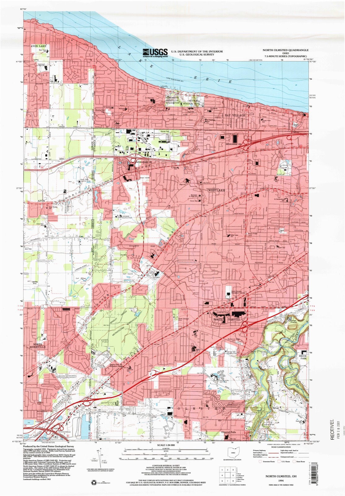
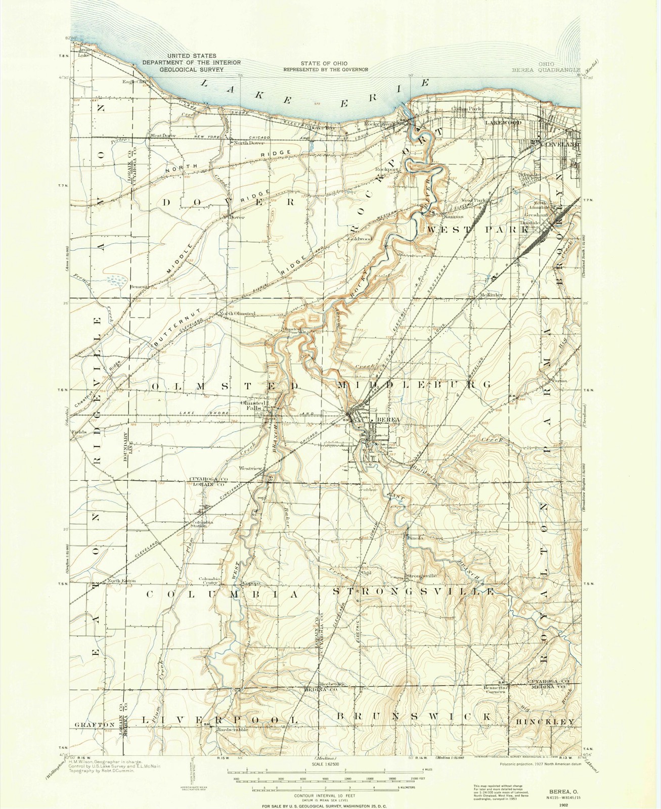
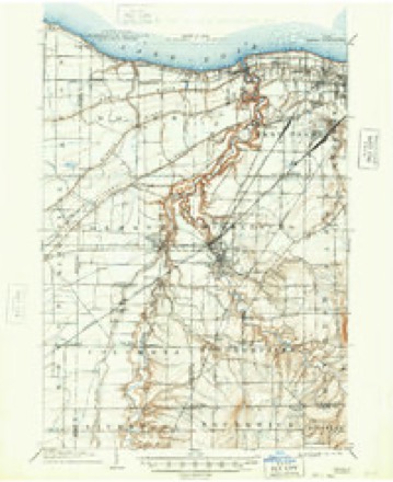
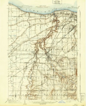
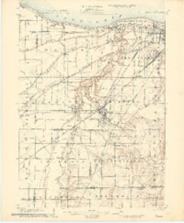
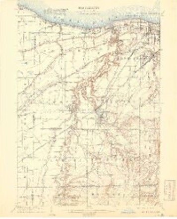
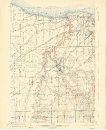
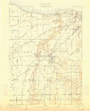
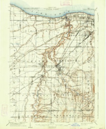
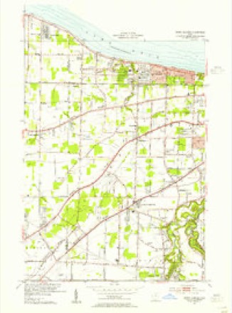
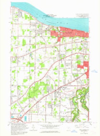
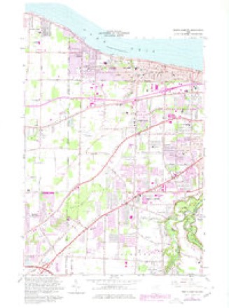
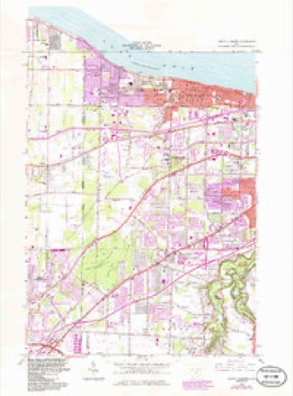
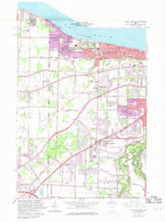
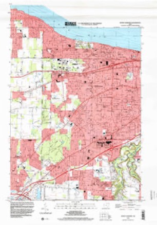
21 topographic sheets cover this place, the earliest surveyed in 1902 and the latest in 1994. It stands in Bay Village City. It lies in ZIP code area 44140. It stands on Porter Creek. The Survey maps it on the North Olmsted quadrangle.
Then and now
1902 to 1994The same ground, surveyed 92 years apart. Drag the handle to wipe between them. Both sheets are United States Geological Survey originals; neither has been altered.
Compare 1902 against another survey:
Topographic sheets covering this place
21 sheetsMatched by testing this settlement's coordinate against the published boundary of every sheet in the United States Geological Survey's historical collection. Each opens the scanned sheet at the Survey.
- 1902 USGS Berea quadrangle1:62500
- 1902 USGS Berea quadrangle1:62500
- 1904 USGS Berea quadrangle1:62500
- 1904 USGS Berea quadrangle1:62500
- 1904 USGS Berea quadrangle1:62500
- 1904 USGS Berea quadrangle1:62500
- 1904 USGS Berea quadrangle1:62500
- 1904 USGS Berea quadrangle1:62500
- 1904 USGS Berea quadrangle1:62500
- 1953 USGS North Olmsted quadrangle1:24000
- 1956 USGS Cleveland quadrangle1:250000
- 1956 USGS Cleveland quadrangle1:250000
- 1956 USGS Cleveland quadrangle1:250000
- 1962 USGS Cleveland quadrangle1:250000
- 1963 USGS North Olmsted quadrangle1:24000
- 1963 USGS North Olmsted quadrangle1:24000
- 1963 USGS North Olmsted quadrangle1:24000
- 1963 USGS North Olmsted quadrangle1:24000
- 1986 USGS Cleveland South quadrangle1:100000
- 1994 USGS Cleveland South quadrangle1:100000
- 1994 USGS North Olmsted quadrangle1:24000






Specimens collected nearby
12 of 860 shownMuseums hold 860 specimens collected within 10 miles of Eagle Cliff between 1849 and 1975: 801 Animalia, 28 Plantae, 26 Fungi, 4 Protozoa, 1 Unrecorded. 12 distinct Species records are shown. Collected by A. G. Newhall, A. Hall, A. Hull and others. Each is a physical object with a catalogue number, and each entry opens the museum's record. This is what was collected and kept, not a survey of what lives here - nothing can be concluded from a species being absent.
| Image | Species | Year | Collected by | Where, as recorded |
|---|---|---|---|---|
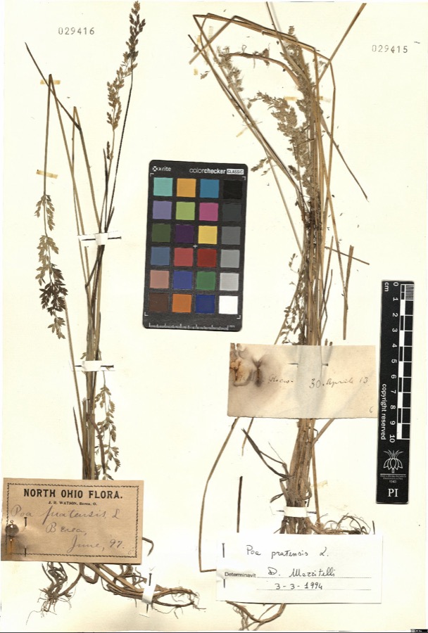 | Poa pratensis L. | 1897 | Watson,J.R. s.n. [1897-06] | [label: North Ohio Flora] Berea |
 | Setophaga americana (Linnaeus, 1758) | 1849 | Jared P. Kirtland | Rockport |
 | Eremophila alpestris praticola (Henshaw, 1884) | 1877 | A. Hall | East Rockport |
 | Baeolophus bicolor (Linnaeus, 1766) | 1879 | Willard G. Van Name | East Rockport |
 | Contopus virens (Linnaeus, 1766) | 1879 | A. Hull | East Rockport |
 | Setophaga tigrina (J.F.Gmelin, 1789) | 1879 | A. Hall | East Rockport |
 | Astur Lacepède, 1799 | 1880 | A. Hall | East Rockport |
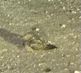 | Caprimulgus vociferus vociferus A.Wilson, 1812 | 1880 | A. Hall | East Rockport |
 | Icterus spurius (Linnaeus, 1766) | 1880 | A. Hall | East Rockport |
| Calidris alpina (Linnaeus, 1758) | 1890 | Saunders, F.A. | LOCNM: Rondeau | |
 | Chlidonias niger (Linnaeus, 1758) | 1890 | Saunders, F.A. | LOCNM: Rondeau |
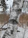 | Betula populifolia Marshall | 1891 | Henry C. Cowles | Kensington, Ct. |
All 860 specimens within 10 miles, at the Global Biodiversity Information Facility.
Storms nearby
6 since 2015The National Weather Service names Eagle Cliff in 6 storm reports between 2015 and 2024: 2 thunderstorm wind, 2 tornado, 1 flood, 1 flash flood. No death or injury is recorded in these reports. Each account below is quoted exactly as the forecast office filed it, from the NOAA Storm Events Database, and each date opens the federal record of that event.
| When | Event | Place named | Harm | What the report says |
|---|---|---|---|---|
| June 2015 | Flood | Eagle Cliff | $800,000 | A swath of heavy rain fell from northeast Lorain County, extending across northern Cuyahoga County. Precipitation estimates of 1.5 to locally up to 3 inches fell between 6 an 9 pm with numerous reports of flooding from the media and via social media. This resulted in numerous road closures, including I-90 in the Lakewood and Rocky River area. A concrete abutment collapsed along Mastick Road in Fairview Park causing the road to be closed. Flooded roads were also reported in Bay Village, Fairview Park, Shaker Heights, Chagrin Falls, and Pepper Pike. The flooding extended into Lorain County and other reports noted in was hard to get around on the east side of the City of Lorain. |
| August 2023 | Flash Flood | Eagle Cliff | $750,000 | Widespread, extensive flash flooding in Cleveland, Lakewood, Rocky River, Westlake, and Bay Village. Interstate 90 flooded with several feet of water with multiple water rescues on both eastbound and westbound lanes near the McKinley Avenue exit. Lakeshore Boulevard and Martin Luther King Boulevard closed due to flooding in Cleveland, with multiple cars stranded in high water. Extensive basement flooding in Rocky River, Lakewood, and Bay Village. Radar estimated 1.5 to 2.25 inches of rainfall in less than three hours, with much of the rainfall falling in less than one hour. |
| August 2024 | Tornado (EF1) | Eagle Cliff | $65,000 | This tornado had peak intensity of EF1, estimated peak winds of 110 mph, and entered Cuyahoga County from Lorain County, just west of Wolf Road in Bay Village. The tornado moved generally east-southeastward along its path in Cuyahoga County. As the tornado moved in vicinity of Wolf Road, it caused minor tree damage near Bradley Road Park. Sporadic tree damage continued along the tornado's path. Large tree limbs and tree tops were snapped along East Oakland Road in Bay Village, where a front porch was damaged by one of the snapped trees. Along Laurel Avenue in Rocky River, a healthy oak tree fell across two homes and caused roof damage to both homes. One of these homes had its north-facing exterior displaced and portions of its east-facing brick exterior were scoured by airborne debris. Several more oak trees were snapped near the intersection of Laurel Avenue and U.S. Route 20 in Rocky River. One of the snapped trees destroyed a deck. The tornado dissipated very soon thereafter. |
| August 2024 | Tornado (EF1) | Eagle Cliff | $50,000 | This tornado had peak intensity of EF1, estimated peak winds of 110 mph, and moved southeastward during its lifespan. The tornado began in Bay Village near Lake Road, west of Pinewood Drive, and caused tree damage along Northfield Road and Longbeach Parkway. Widespread tree damage occurred in Huntington Reservation. Numerous trees were twisted, snapped, and uprooted nearby on Wolf Road and West Oakland Road, where the tornado crossed the path of the separate tornado that began in Lorain County and moved into Bay Village minutes before. Multiple structures along West Oakland Road were damaged due to downed trees and this is where the tornado reached its peak intensity. The damage included a destroyed roof, a separate damaged roof, and multiple sheds were damaged or destroyed. The tornado entered Westlake near Cahoon Road and crossed Cahoon Creek. Intermittent tree damage continued along Georgetown Drive, Ellington Road, and Langale Road before the tornado dissipated near the intersection of Dover Center Road and Sentry Lane. |
| August 2016 | Thunderstorm Wind | Eagle Cliff | $5,000 | A trained spotter reported large limbs and a tree down on Detroit Road between Dover and Crocker. |
| August 2021 | Thunderstorm Wind | Eagle Cliff | - | Tree downed along Clemens Road, near the Red Roof Inn, in Westlake. Another tree fell onto a house along Hilliard Road in Westlake, just west of the Rocky River border. |
Nearest settlements
The eight closest, with where each one stands in the county. Distances are straight-line, computed from the Geographic Names Information System coordinates.
| Map | Place | Distance | Sheets |
|---|---|---|---|
| West Dover | 1.4 miles | 21 | |
| Bay Village | 2.2 miles | 21 | |
| The Glens | 2.3 miles | 21 | |
| Woods Of Westlake | 2.4 miles | 21 | |
| North Dover | 2.5 miles | 21 | |
| Creekwood Meadows | 2.6 miles | 21 | |
| Dover Bay Estates | 2.6 miles | 21 | |
| Carriage Park Estates | 2.7 miles | 21 |
Provenance
This settlement is recorded in the Geographic Names Information System as feature 1057018. The sheet list is computed by point-in-boundary test against the United States Geological Survey's historical topographic inventory. Both are works of the United States government and carry no copyright under 17 U.S.C. 105.
Specimens. Global Biodiversity Information Facility (GBIF), https://www.gbif.org/. Only records licensed CC0 or CC BY are used. Records licensed CC BY-NC are excluded because this site carries advertising. Images are checked individually and any whose licence is non-commercial, no-derivatives or unreadable is refused.
Storms. NOAA National Centers for Environmental Information, Storm Events Database https://www.ncei.noaa.gov/stormevents/ A work of the United States government, no copyright under 17 U.S.C. 105. Narratives are quoted verbatim from the National Weather Service report and are not edited or summarised.