 Block
Block
Fairfield, Ohio
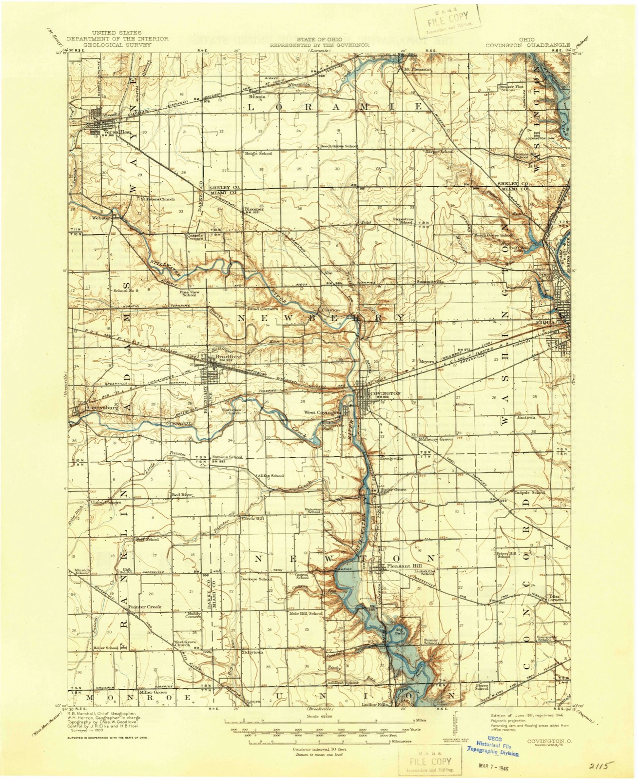
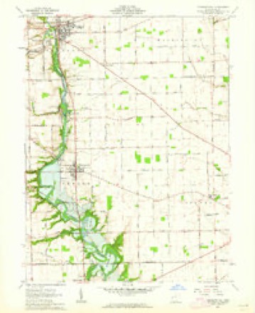
13 topographic sheets cover this place, the earliest surveyed in 1911 and the latest in 1986. It stands in Concord Township. It lies in ZIP code area 45373. The Survey maps it on the Pleasant Hill quadrangle.
Then and now
1911 to 1986The same ground, surveyed 75 years apart. Drag the handle to wipe between them. Both sheets are United States Geological Survey originals; neither has been altered.

Topographic sheets covering this place
13 sheetsMatched by testing this settlement's coordinate against the published boundary of every sheet in the United States Geological Survey's historical collection. Each opens the scanned sheet at the Survey.
- 1911 USGS Covington quadrangle1:62500
- 1944 USGS Covington quadrangle1:62500
- 1953 USGS Muncie quadrangle1:250000
- 1953 USGS Muncie quadrangle1:250000
- 1953 USGS Muncie quadrangle1:250000
- 1953 USGS Muncie quadrangle1:250000
- 1953 USGS Muncie quadrangle1:250000
- 1956 USGS Muncie quadrangle1:250000
- 1961 USGS Pleasant Hill quadrangle1:24000
- 1961 USGS Pleasant Hill quadrangle1:24000
- 1986 USGS Piqua quadrangle1:100000
- 1986 USGS Piqua quadrangle1:100000
- 1986 USGS Piqua quadrangle1:100000









In the county-history sources
64,480 words on this townshipThe History of Miami County, Ohio, published 1880; The History of Miami County, Ohio : Containing a History of the County; Its Cities, Towns, Etc.; General and Local Statistics; Portraits of Early Settlers and Prominent Men; History of the Northwest Territory; History of Ohio; Map of Miami County; Constitution of the United States; Miscellaneous Matters, Etc., Etc, published 1880 names this settlement in its chapter on Concord Township. These are the passages that mention it, exactly as the scans read.
His word was as good as his bond, and he always confined himself strictly to the terms of his contract, and expected the same of his co-contractor. He was very benevolent, and many a poor person has been the recipient of his alms. The blacksmithing, under his personal supervision, prospered, but the store soon stranded- Mr. Barbee was the only partner of means, and the Sheriff seized his goods. Witn the money that he had made in the shop he bought cattle, and drove them to the village of Chicago and liquidated the debt He now left the shop and began speculating on a large scale, and died worth over $300,000. . ,
Passage source: The History of Miami County, Ohio, published 1880.
Benjamin F. Powers, afterward a prominent factor in educational matters, taught the school in 1832, and in 1833-34-35, a flourishing school was kept by an Irishman, who went through the world with the appropriate name of Walkup. In 1835-36, G. A. Murraiy taught in the Episcopal Church. He was assisted in his labors by his sister, who afterward became Mrs. Ressler. E. P. Coles taught in the Coolidge house, otherwise known as Fort Meisinger, in 1842-43. He paid attention principally to the higher branches, the principal features of one ol his exhibitions being a Latin oration, delivered by Augustus Coleman, who served as a Colonel in the late rebellion, where he was killed. In 1846^17, a school was carried on in the old Wesleyan Church by Minor W., a son of Micajah Fairfield, and in 1845-46, a school was also carried on by Rev. Edmund B. Fairfield, who afterward became President of the State Agricultural College of Pennsylvania. He was assisted by his sister Sarah, who became the wife of Dr. N. S. Norton. As these early schools are not a matter of record, it is exceedingly difficult to give a correct history of them and their workings. Many of the teachers are most pleasantly remembered. Mr. McCurdy, especially, is spoken of as a man of broad culture, a fine scholar and most excellent instructor. Those who were his pupils in those old days never mention him but in the most laudable terms.
Passage source: The History of Miami County, Ohio, published 1880.
So, likewise, did contention spring up in modern Troy, and the Piquods and Trojans strove, when, at the September term of court, in 1807, the Commissioners ordered the laying out of the seat of justice. Other rivals also joined in the war. By some, Staunton, the original county seat, sought to retain her position as the most desirable. While the attention of the Commissioners was directed to Mr. Marshall's farm, Samuel Beedle sent them an invitation to view his farm, while Piqua regarded its location there sine dubio. Troy, it seems, was equally anxious, but perhaps, conscious of her favorable location, awaited the sequel with more patience.
Machine-read from a century-old scan, so expect the errors a machine makes: misspelled names, dropped words, stray characters.
Read the whole chapter on Concord Township - it names this place 3 more 3 times.
Specimens collected near this place
12 of 453 shownRegional context, not property-specific evidence. Museums hold 453 specimens collected within 10 miles of Fairfield between 1835 and 1975: 420 Animalia, 16 Plantae, 15 Fungi, 1 Unrecorded, 1 Chromista. 12 distinct Species records are shown. Collected by A V DEL, A. Gaufin, A. R. Gaufin and others. Each is a physical object with a catalogue number, and each entry opens the museum's record. This is what was collected and kept, not a survey of what lives here - nothing can be concluded from a species being absent.
| Image | Species | Year | Collected by | Where, as recorded |
|---|---|---|---|---|
 | Quercus macrocarpa Michx. | 1835 | Frank | |
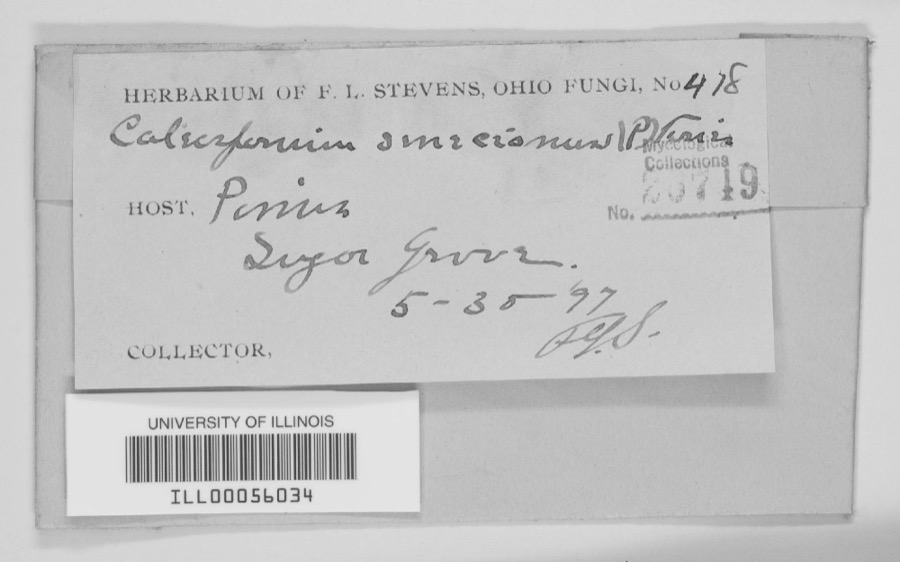 | unnamed | 1897 | F. L. Stevens | Sugar Grove. |
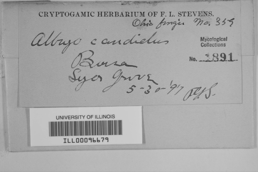 | Albugo candida (Pers. ex J.F.Gmel.) Roussel | 1897 | F.L. Stevens | Sugar Grove |
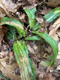 | Carex albursina E.Sheld. | 1835 | Collector unknown | |
 | Carex emmonsii var. muhlenbergii (A.Gray ex Torrey) Rettig | 1835 | Collector unspecified | |
 | Gentianella quinquefolia subsp. occidentalis (A.Gray) J.M.Gillett | 1835 | Joseph C. Frank | Ohio, in ditione civitatis Miami |
 | Cercosporina apii (Fresen.) Miura | 1896 | Skinner C. W. | Troy |
| Marssonina panattoniana (Berl.) Magnus | 1896 | Skinner C. W. | Troy | |
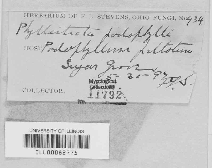 | Phyllosticta podophylli (M.A.Curtis) G.Winter | 1897 | F.L. Stevens | |
 | Lanius ludovicianus Linnaeus, 1766 | 1898 | Collector(s): L. Kumlein | Milton, Ohio |
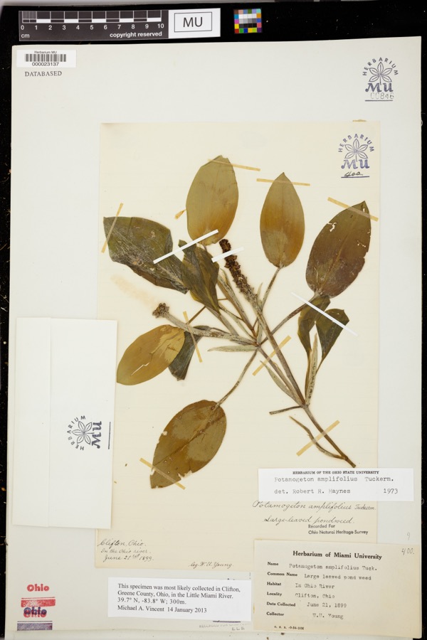 | Potamogeton amplifolius Tuck. | 1899 | Young, WU | |
 | Daedalea confragosa (Bolton) Pers. | 1906 | Fischer G. C. | Troy |
All 453 specimens within 10 miles, at the Global Biodiversity Information Facility.
Mines and quarries near this place
9 within 5 milesRegional context, not property-specific evidence. The federal mineral resources record lists 9 workings within 5 miles of Fairfield: 4 past producers, 3 producers, 2 plants. 5 still produce. What was taken out: Sand and Gravel, Construction, Clay, Limestone, General, Stone, Crushed/Broken. Distance is straight-line from the map coordinates, so a quarry counted here may appear on a neighbouring settlement's page as well.
| Where | Site | Commodity | Status | Recorded |
|---|---|---|---|---|
| Hanover Pit | Clay | Producer | ||
| Piqua Minerals | Stone, Crushed/Broken | Producer | ||
| Piqua Quarries | Limestone, General | Past Producer | Sedimentary | |
| Eldean Pit | Sand and Gravel, Construction | Past Producer | Sedimentary | |
| Eldean Pit | Sand and Gravel, Construction | Producer | ||
| Steiners Pit | Sand and Gravel, Construction | Past Producer | Sedimentary | |
| Steiners Pit & Mill | Sand and Gravel, Construction | Plant | ||
| Troy Pits | Sand and Gravel, Construction | Past Producer | Sedimentary | |
| Troy Plant & Pit | Sand and Gravel, Construction | Plant |
Nearest settlements
The eight closest, with where each one stands in the county. Distances are straight-line, computed from the Geographic Names Information System coordinates.
| Map | Place | Distance | Sheets |
|---|---|---|---|
| Carriage Crossing | 0.2 miles | 13 | |
| Fox Harbor | 0.3 miles | 13 | |
| Kings Chapel | 0.5 miles | 13 | |
| Westhaven | 0.6 miles | 17 | |
| Willowpoint | 1.3 miles | 17 | |
| Brook Park North | 1.3 miles | 17 | |
| Laurel Creek | 1.4 miles | 17 | |
| Willowcreek | 1.5 miles | 13 |
Provenance
This settlement is recorded in the Geographic Names Information System as feature 2778078. The sheet list is computed by point-in-boundary test against the United States Geological Survey's historical topographic inventory. Both are works of the United States government and carry no copyright under 17 U.S.C. 105.
Specimens. Global Biodiversity Information Facility (GBIF), https://www.gbif.org/. Only records licensed CC0 or CC BY are used. Records licensed CC BY-NC are excluded because this site carries advertising. Images are checked individually and any whose licence is non-commercial, no-derivatives or unreadable is refused.
Mines and quarries. USGS Mineral Resources Data System (MRDS) https://mrdata.usgs.gov/mrds/ A work of the United States government, no copyright under 17 U.S.C. 105.