BlockBefore
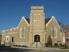
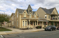
Decorative drawing: a county panorama. Not a photograph of this place.

Miami County, Ohio

65 topographic sheets and 36 fire insurance atlases across 5 places.

Research this county

This curated hub for Miami County, Ohio brings together the page's documented record links, visible map or image evidence where published, and routes to related local records.

What is documented here?

Use the page's provenance and linked records to distinguish the source material from the site's navigation and summaries.

How should I cite it?

Open the original record, preserve its repository and identifier, then use the citation tool for this page as a path back to the source.

Where should I go next?

Follow the county or state hub for related places and records, then use the guide for a source-aware research sequence.

From the record

“During these times, the early settlers of Lost Creek Township were not wholly without fear. The outbreak of the second war with Great Britain was calculated to seriously interfere with their repose. The Indians were not far distant, and more than once, the pioneer and his little famity cowered, as it were, in the shadows of the tomahawk.”

The War Of 1812 - The History of Miami County, Ohio (1880). Machine-read text.

36 National Register listings · 61 businesses named in the fire insurance atlases from 1887 to 1946 · the 1880 county history tells 5 stories and names 0 people.

Sources: the county history on the Internet Archive · the National Register database, National Park Service

Ohio within the United States
Miami County within Ohio
Explore by year 1848 1946

What the record shows

  • 5 places in this county were surveyed for fire insurance: Covington, Piqua, Troy, Tipp City, West Milton, between 1885 and 1951.
  • 36 fire insurance atlas(es) survive for the county. Topographic coverage is national; fire insurance survey reached only incorporated places with something worth insuring.
  • 1,648 topographic sheet readings cover the county's settlements.
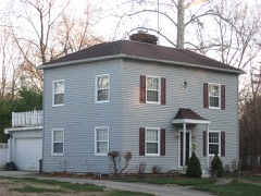
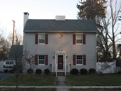
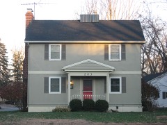
  • 36 properties here are on the National Register of Historic Places, including 1 covered bridge, 19 houses and farms.
  • 13 of the 36 listings were added during the 1970s.
  • The Geographic Names Information System records 110 populated places in this county; 0 are covered by at least one topographic sheet.
  • 4 public-domain county histories, 1850 to 1909, supply 532,292 words of narrative reproduced here in full.

What happened here

5 accounts

A captivity, a drowning, a famine, a man scalped clearing his lot in 1789. These are passages from The History of Miami County, Ohio, written while people who remembered the events were still alive, and each one opens the section it comes from.

1880, Elizabeth Township

Game

of 8quirrrfln1h,?t game abounded in the forests. The hunters killed large numbers encountered n Pbeafants' etc- Wolves, bears and panthers were frequently morning Thio* ^atcJ* that ^av*d H. Morris, Sr., killed three panthers in one boys to nw»ns« u.? °^d pioneer was very fond of hunting. He required his the ears was th sbooJ'bl^ daily ; when their record was poor, a general boxing of and difficult, 6 uf8-11*' Ammunition, though in active demand, was expensive every f 0Dtain* obviate all embarrassment, it became customary for sable artinlo his own powder.

Read the rest of this passage

1880, Staunton Township

The War Of 1812

During these times, the early settlers of Lost Creek Township were not wholly without fear. The outbreak of the seoond war with Great Britain was calculated to seriously interfere with their repose. The Indians were not far distant, and more than once, the pioneer and his little family cowered, as it were, in the shadows of the tomahawk.

Read the rest of this passage

1880, Bethel Township

Game

All kinds of game abounded in the forests. The hunters killed large numbers of squirrels, turkeys, pheasants, etc. Wolves, bears and panthers were frequently encountered. It is related that David H. Morris, Sr., killed three panthers in one morning. This sturdy old pioneer was very fond of hunting. He required his boys to practice shooting daily ; when their record was poor, a general boxing of the ears was the result.

Read the rest of this passage

1880, Staunton Township

The War Of 1812

During these times, the early settlers of Lost Creek Township were not wholly without fear. The outbreak of the second war with Great Britain was calculated to seriously interfere with their repose. The Indians were not far distant, and more than once, the pioneer and his little famity cowered, as it were, in the shadows of the tomahawk.

Read the rest of this passage

1880, Staunton Township

Lost Creek In The War

During the war of the rebellion, no rural township replied more liberally to the calls of the President than Lost Creek. Her citizens were among the first to enlist in 1861, and from that eventful period until the termination of the struggle, she had more than two hundred soldiers at the front. They took part in some of the most sanguinary battles without, so far as we are able to learn, having a single one of their number killed outright.

Read the rest of this passage

Photographs

9 photographs, 1902 to 1905

Taken for the Office of War Information and the Farm Security Administration, who photographed the country between 1935 and 1944. Works of United States government photographers, with no known restriction on use. Each opens its catalogue record.

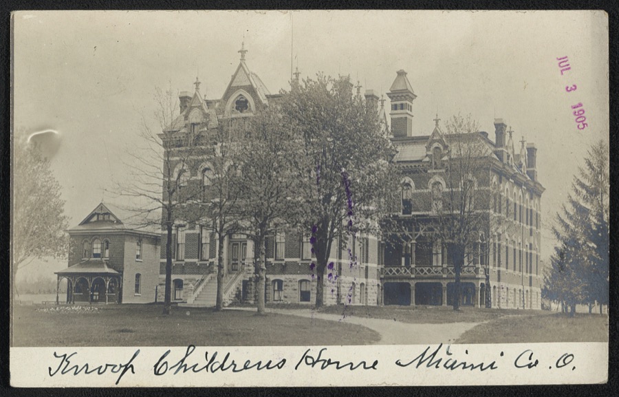
Knoop Children's Home, Miami Co., O
Unattributed, 1905. Library of Congress
Newton Township Building, South Main Street near Hill Street, Pleasant Hill, Miami County, OH
Unattributed, . Library of Congress
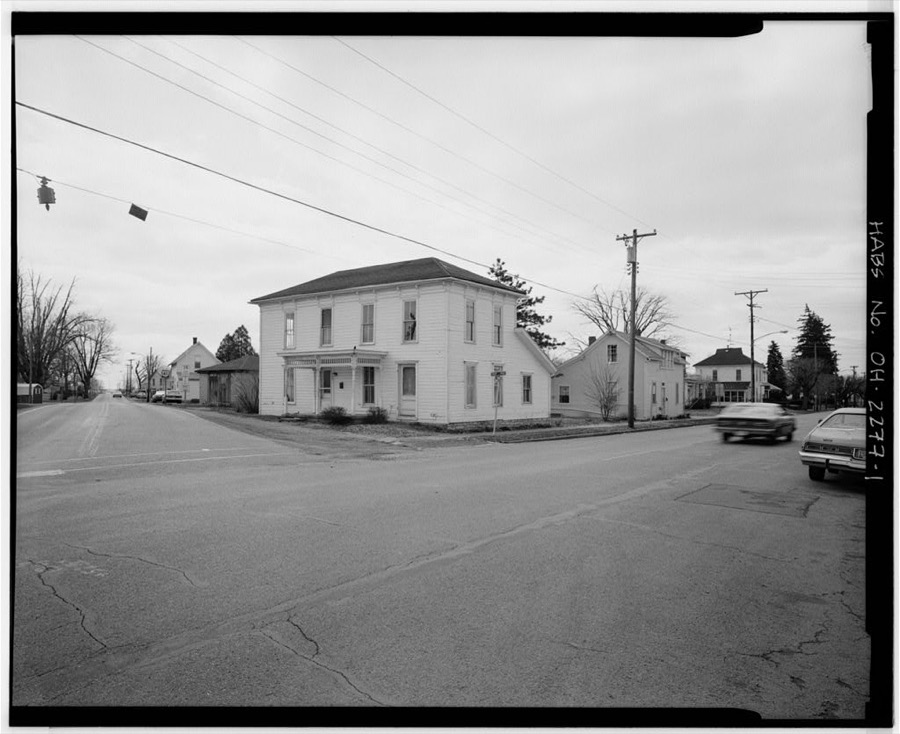
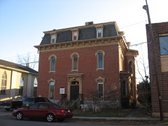
Martin Steinhilber House, 402 South High Street, Covington, Miami County, OH
Unattributed, . Library of Congress
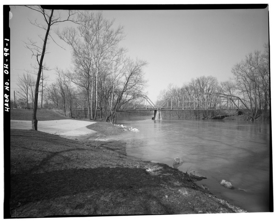
Tipp-Elizabeth Road Bridge, Spanning Great Miami River, Tipp City, Miami County, OH
Unattributed, . Library of Congress
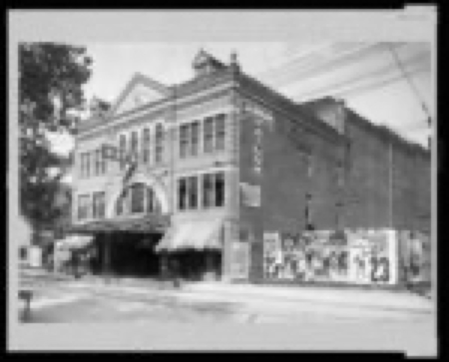
May's Opera House and Jas. W. Brown Tailor Shop
Unattributed, 1902. Library of Congress
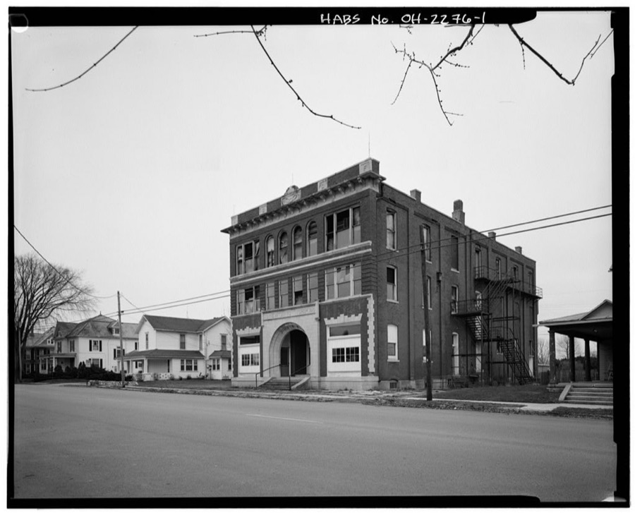
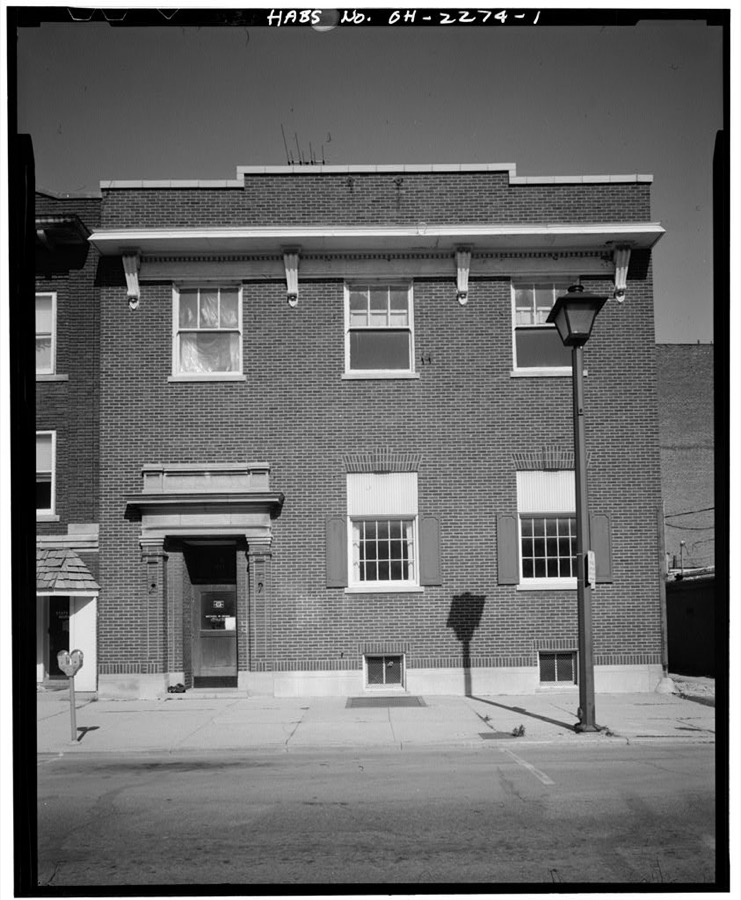
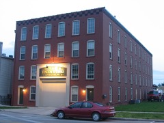
Central Union Telephone Company Building, 311 North Wayne Street, Piqua, Miami County, OH
Unattributed, . Library of Congress
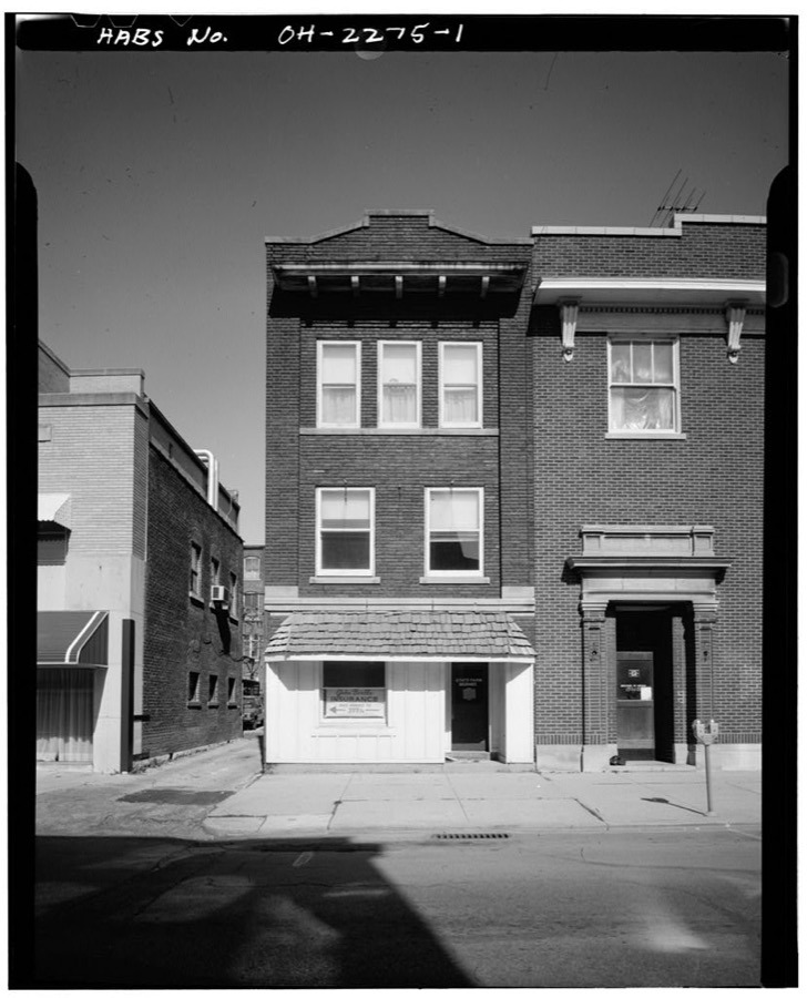
Shannon-Kiser Building, 313-315 North Wayne Street, Piqua, Miami County, OH
Unattributed, . Library of Congress
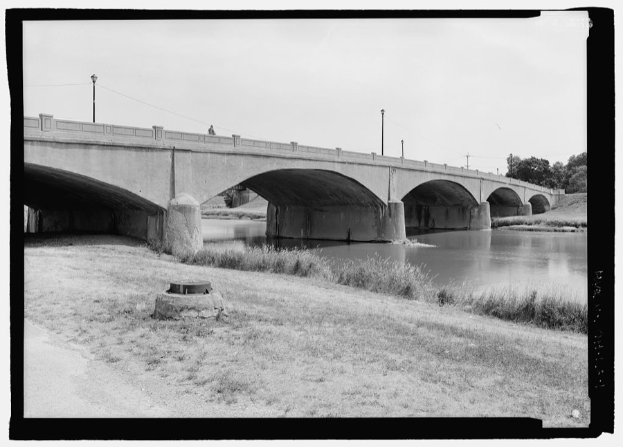
Piqua Bridge, Piqua, Miami County, OH
Unattributed, . Library of Congress
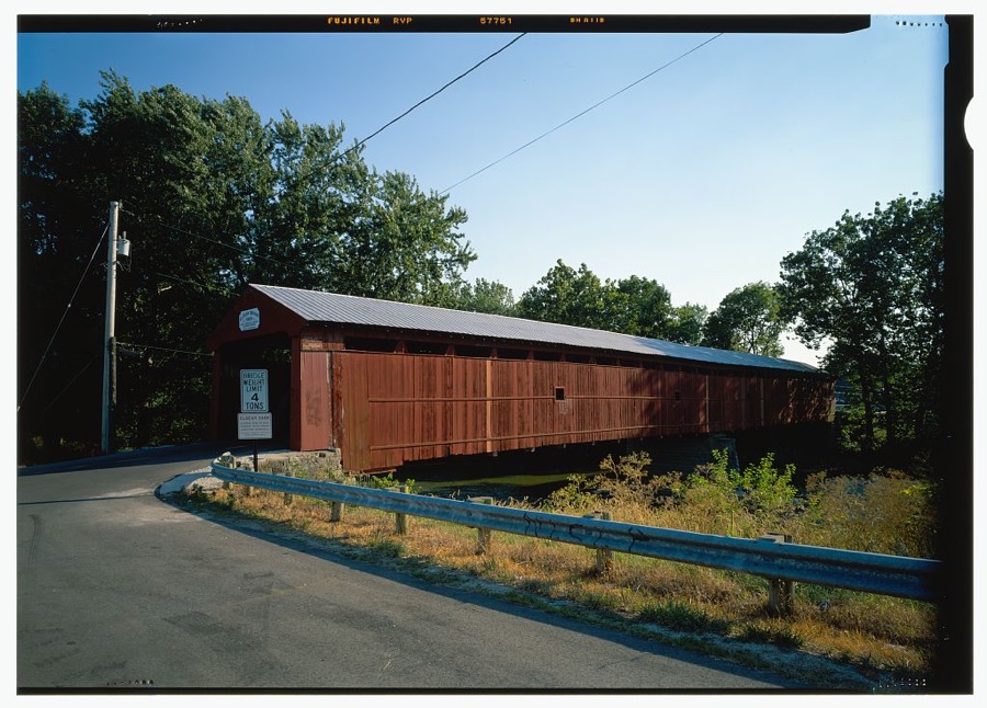
Eldean Bridge, Spanning Great Miami River at bypassed section of Eldean Road, Troy, Miami County, OH
Unattributed, . Library of Congress

Places on the National Register

36

Every property in this county listed on the National Register of Historic Places, with the year it was listed and the federal nomination document.

Photograph PropertyType ListedReference
African Jackson Cemeterysite198282001475
Arrowstonbuilding198080003162
Baumgardner, William, House and Farm Buildingsbuilding197878002141
Bradford Junction Interlocking Towerbuilding199595000497
Casstown Lutheran Stone Churchbuilding198484003783
Covington Historic Government Buildingbuilding198181000447
Culbertson, Robert, Housebuilding197575001489
Detrick Milling and Distilling Companybuilding201010000193
Dunlap, William K., Housebuilding197676001492
Dye, John Minor, Stone Housebuilding198383002008
Eldean Covered Bridgestructure197575001492
First Presbyterian Churchbuilding197676001493
Fort Piqua Hotelbuilding197474001576
Hayner, Mary Jane, Housebuilding197676001494
Hobart, E. A., Housebuilding198989000420
Hobart, William, Vacation Housebuilding198989000421
House at 1022 West Main Streetbuilding198989000424
House at 121 South Ridgebuilding198989000425
House at 129 South Ridgebuilding198989000423
House at 145 South Ridgebuilding198989000426
House at 203 Penn Roadbuilding198989000422
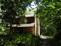
Iddings, Benjamin, Log Housebuilding197676001497
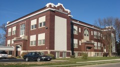
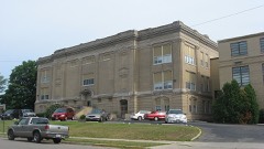
McKinley Schoolbuilding200505000025
Miami County Courthouse and Power Stationbuilding197575001490
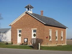
Newberry Township Schoolbuilding201212000395
Overfield Tavernbuilding197676001495
Piqua High Schoolbuilding199696000927
Pleasant Hill United Church of Christbuilding200202000881
Rial, York, Housebuilding198686002620
Saunders Seed Companybuilding201010000194
Saunders, Elizabeth Sheets, Farmbuilding197676001491
Sheets, Andrew, Housebuilding198887002522
Twin Arch Stone Culvertstructure197878002142
Weddle, Callahill and Priscilla, Housebuilding198787000986
Williams, Judge Henry, Housebuilding197676001496
Zollinger, S., Company Buildingbuilding201515000903

Covered bridges

1

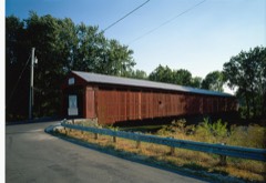
Miami County holds 1 covered bridges on the National Register, more than any other property type here. Each is a listed structure with a federal nomination on file.

Eldean Covered BridgeListed 1975, 0 map sheets show this crossing

Bird's-eye views and land ownership maps

4

Drawn when these were printed as single large sheets: the town seen from the air, and the county divided into its farms with every owner named. Each opens the original at the Library of Congress.

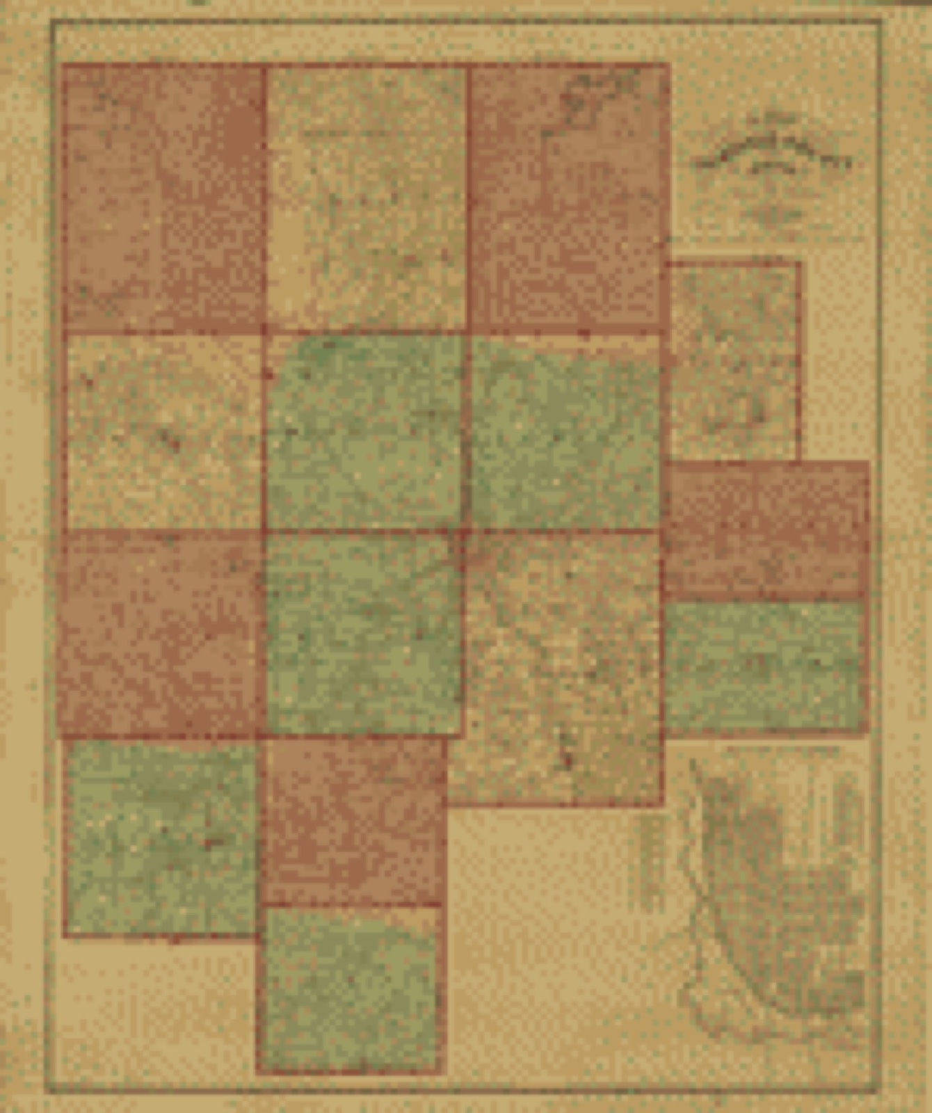
Land ownership map, 1871 - Atlas of Miami Co., Ohio
Land ownership map (1871) - Atlas of Miami Co., Ohio. Library of Congress.
Land ownership map, 1848 - A map of Fairfield County, Ohio
Land ownership map (1848) - A map of Fairfield County, Ohio. Library of Congress.
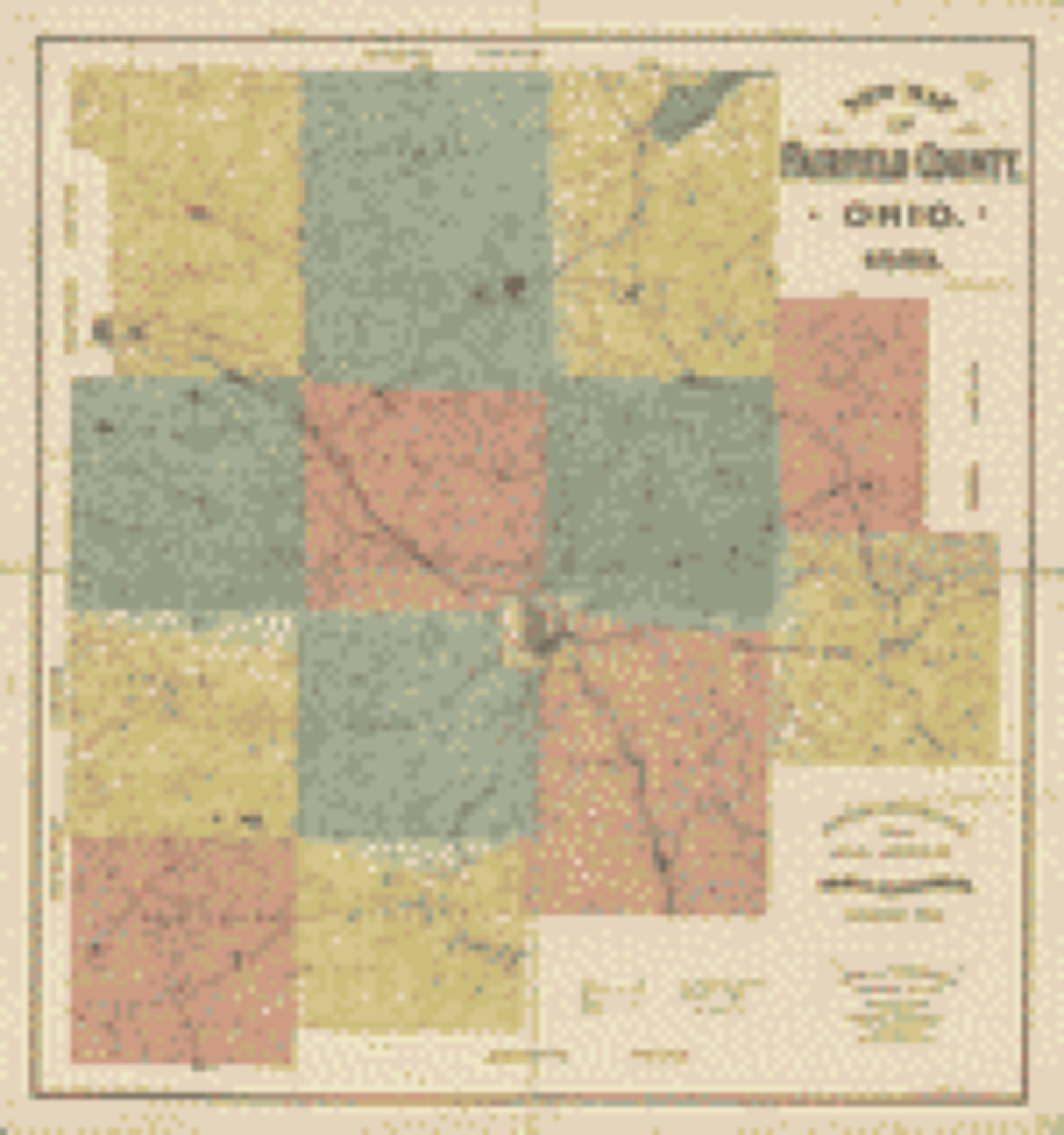
Land ownership map, 1889 - New map of Fairfield County, Ohio
Land ownership map (1889) - New map of Fairfield County, Ohio. Library of Congress.
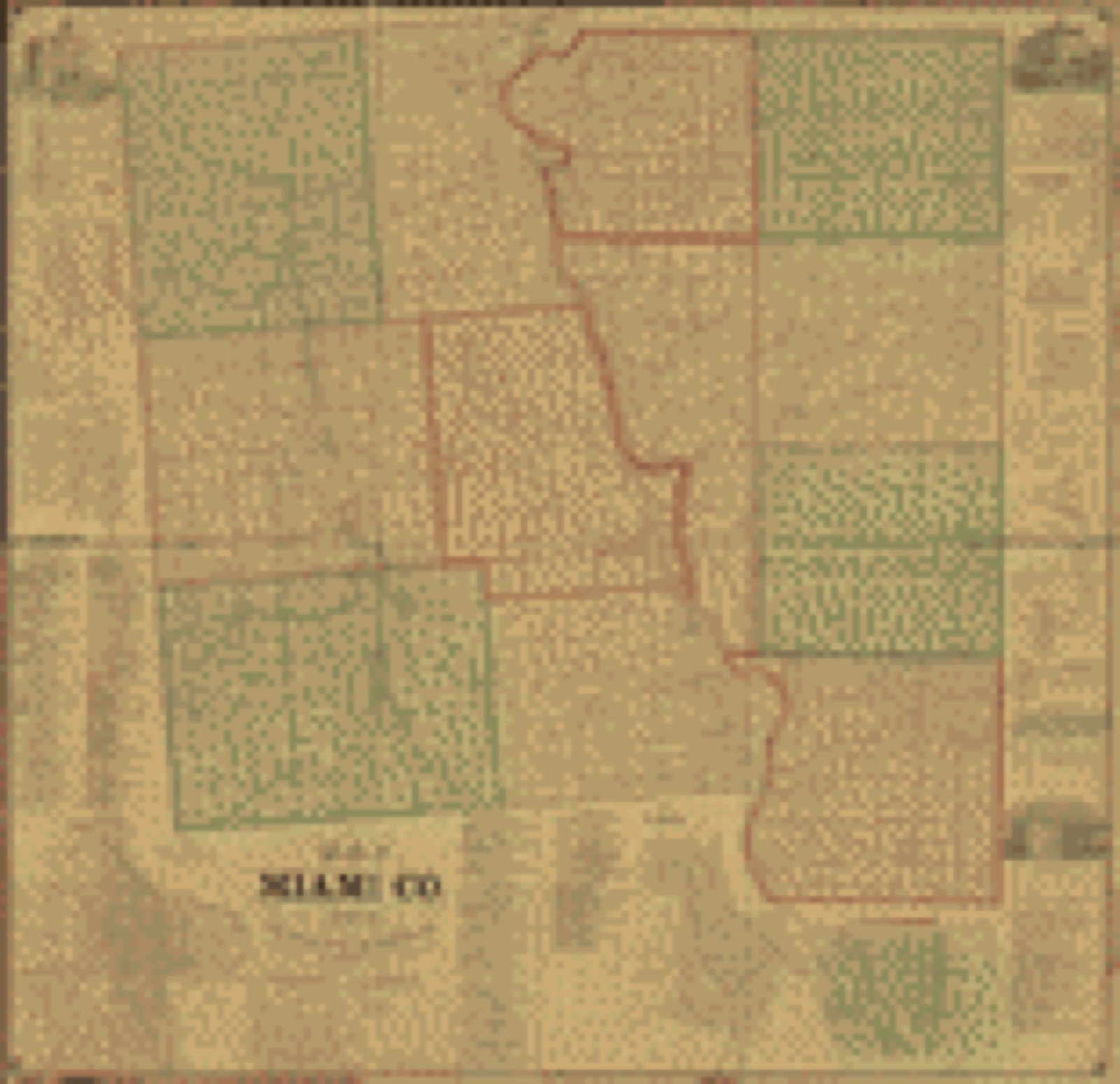
Land ownership map, 1858 - Map of Miami Co., Ohio
Land ownership map (1858) - Map of Miami Co., Ohio. Library of Congress.

Photographs from libraries nationwide

1 of 24 shown

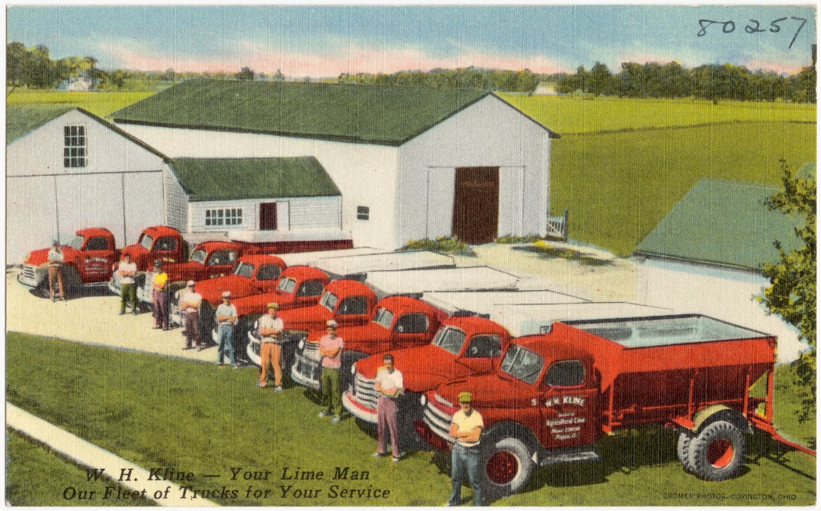
Selected from the Digital Public Library of America's 24 image records catalogued for this county. Every one shown here carries a public-domain status or a licence that permits reuse on a site that carries advertising; non-commercial, share-alike and restricted images are excluded. The selection is spread across the county's towns (at most eight per town), so no single institution's bulk upload crowds out the rest. Each opens the holding library's record, and the complete set at the Digital Public Library of America is one click away.

W. H. Kline -- Your lime man, our fleet of trucks for your service, Boston Public Library - undated
W. H. Kline -- Your lime man, our fleet of trucks for your service. Boston Public Library, via the Digital Public Library of America.

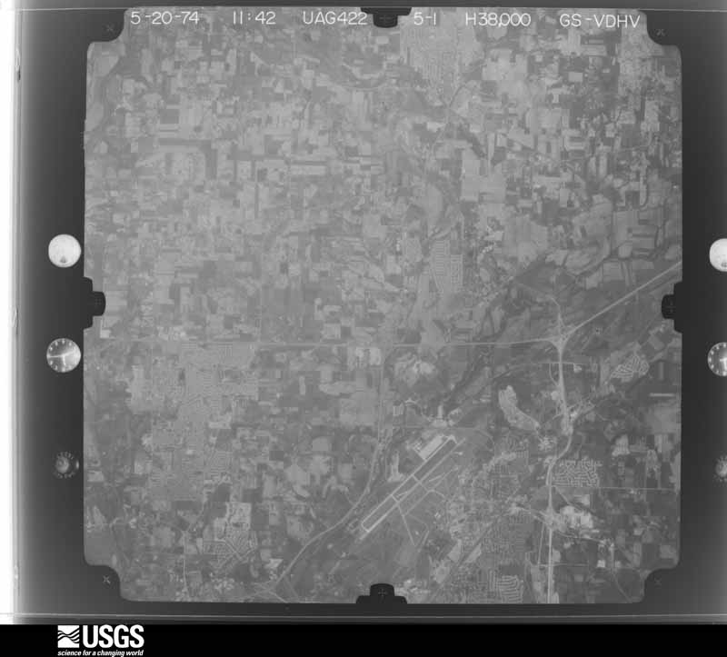
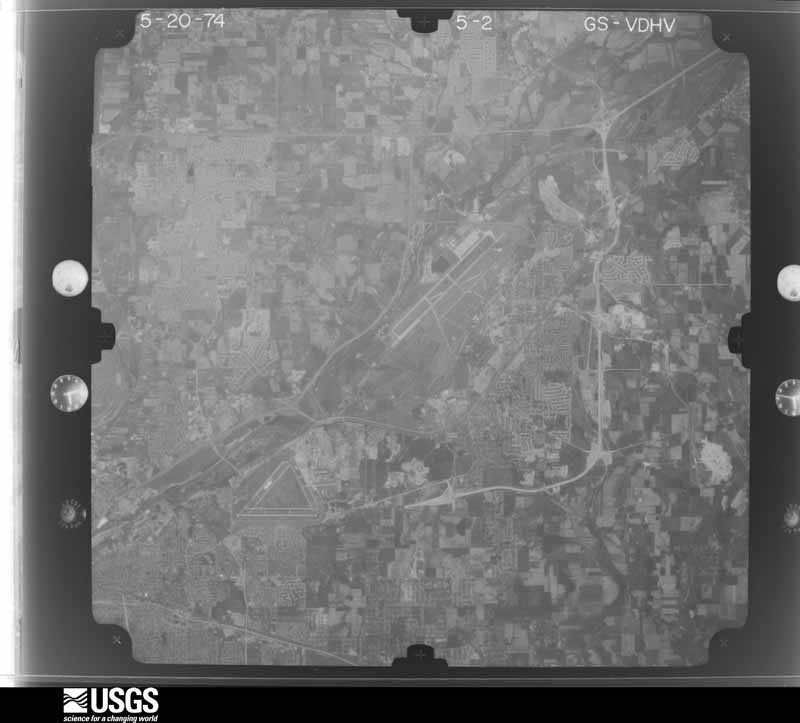
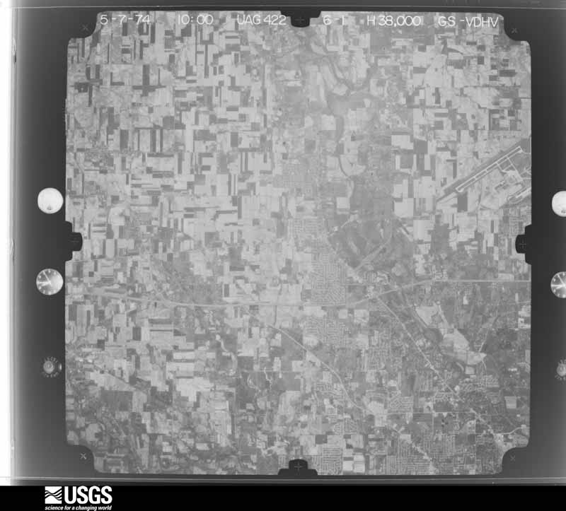
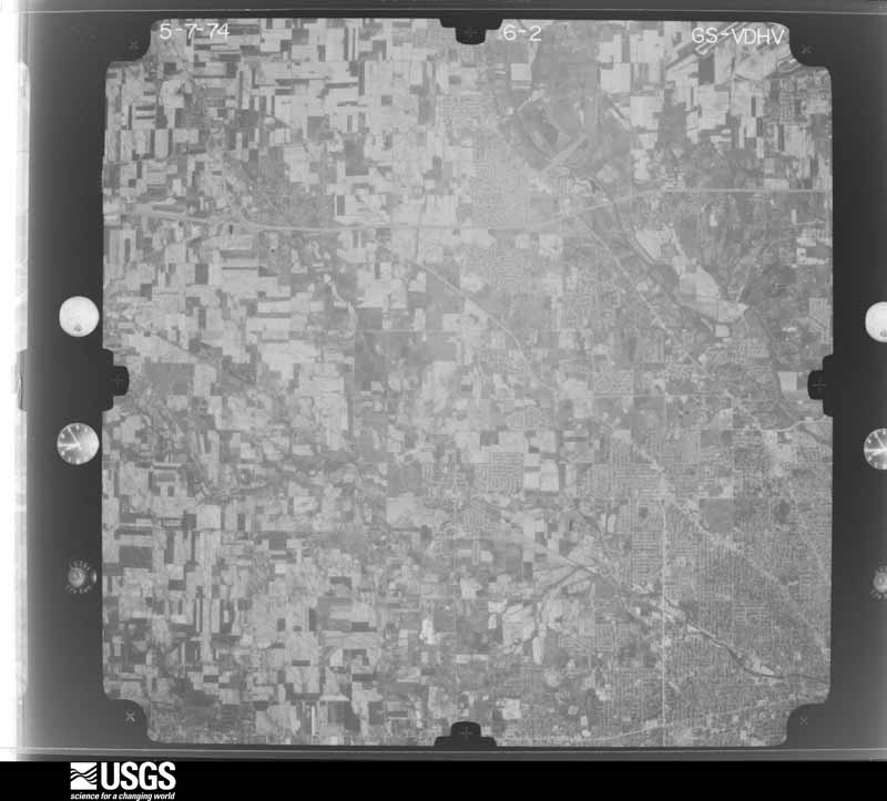
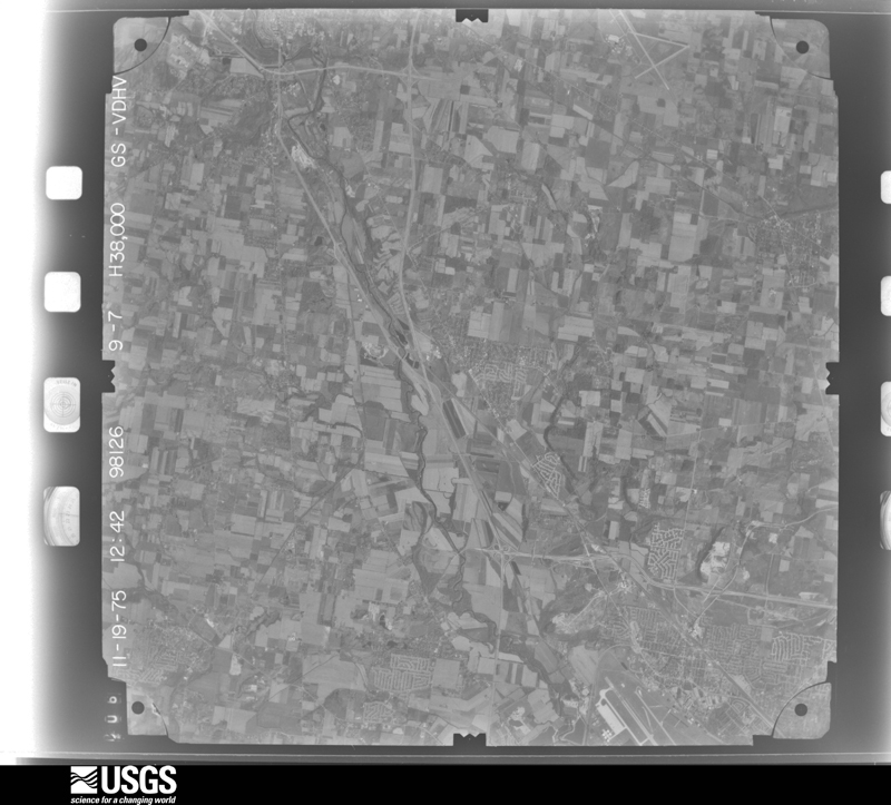
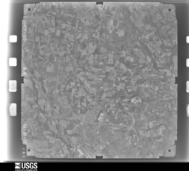
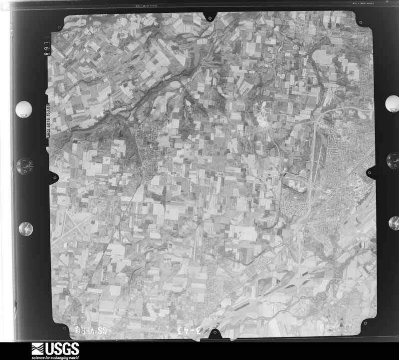
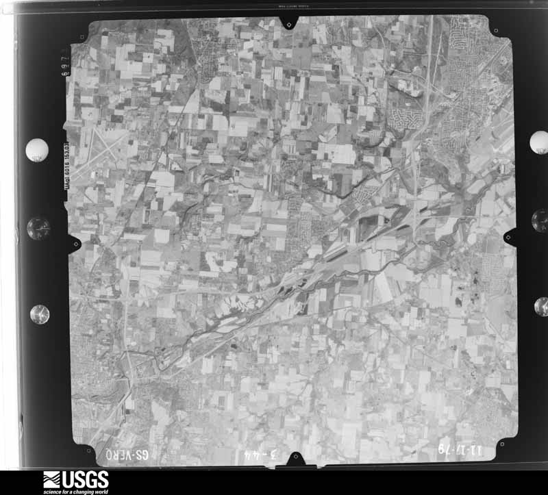
The county from the air

46 of 515 shown

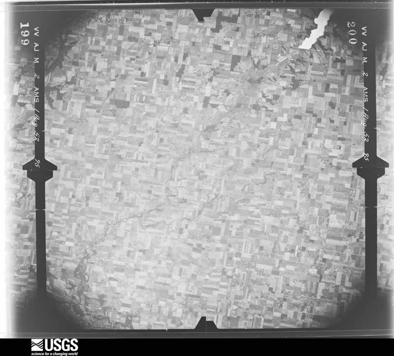
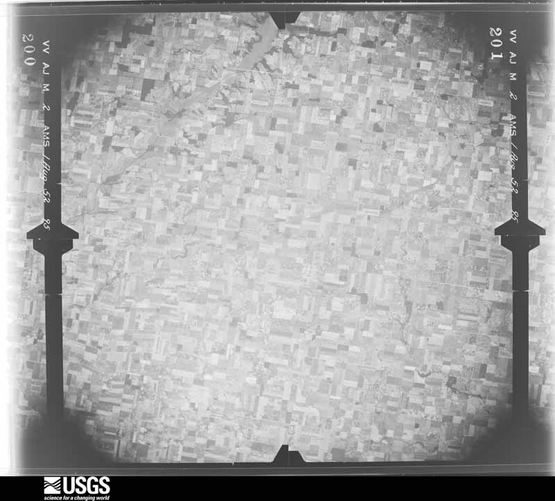
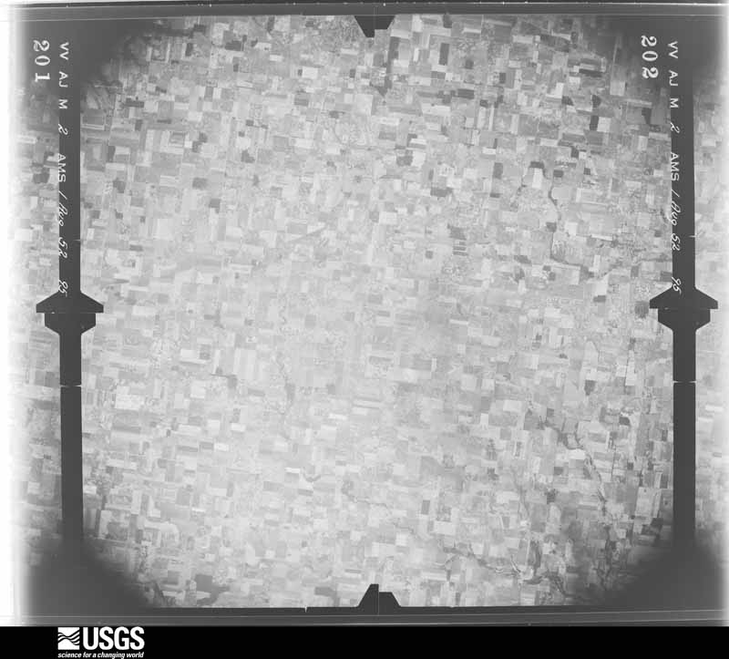
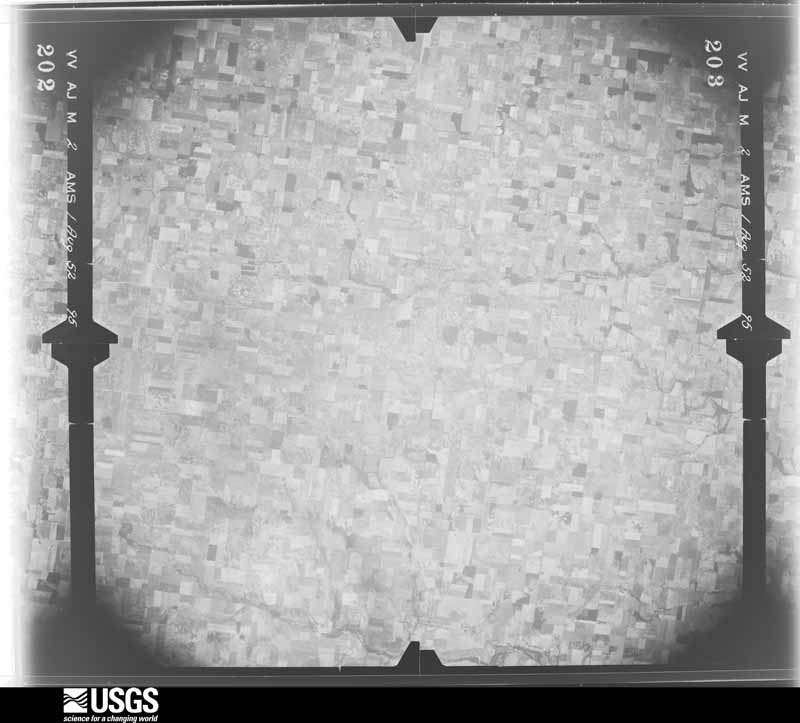
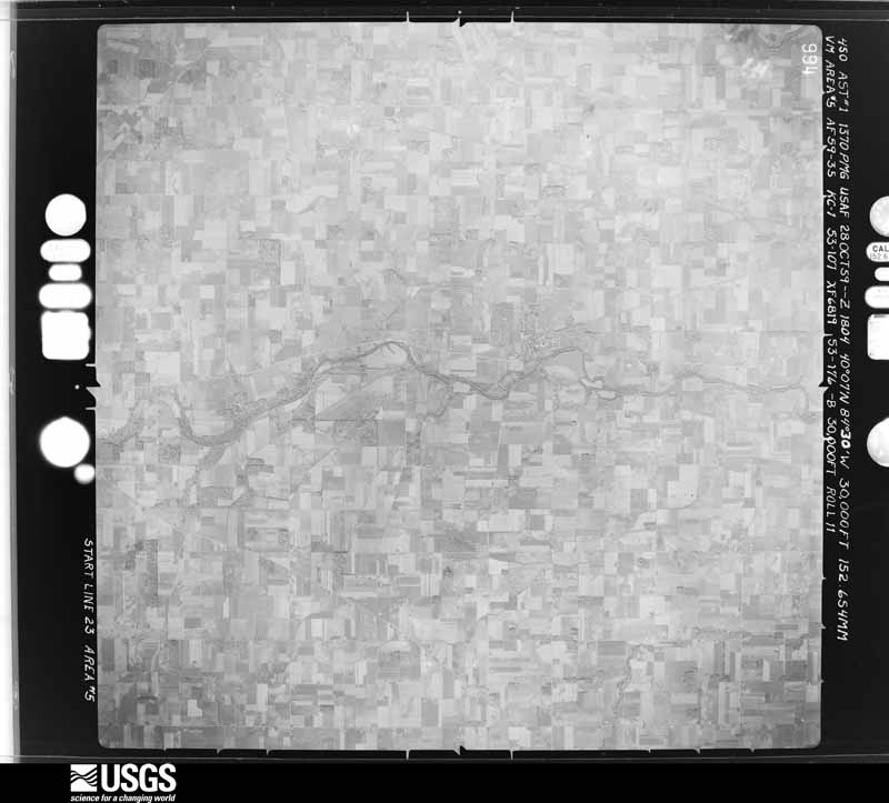
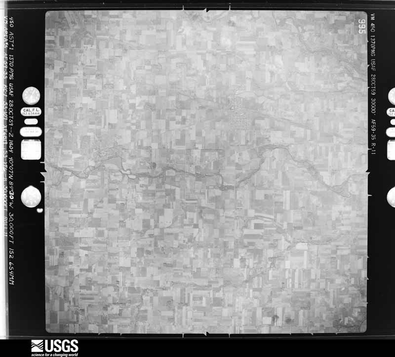
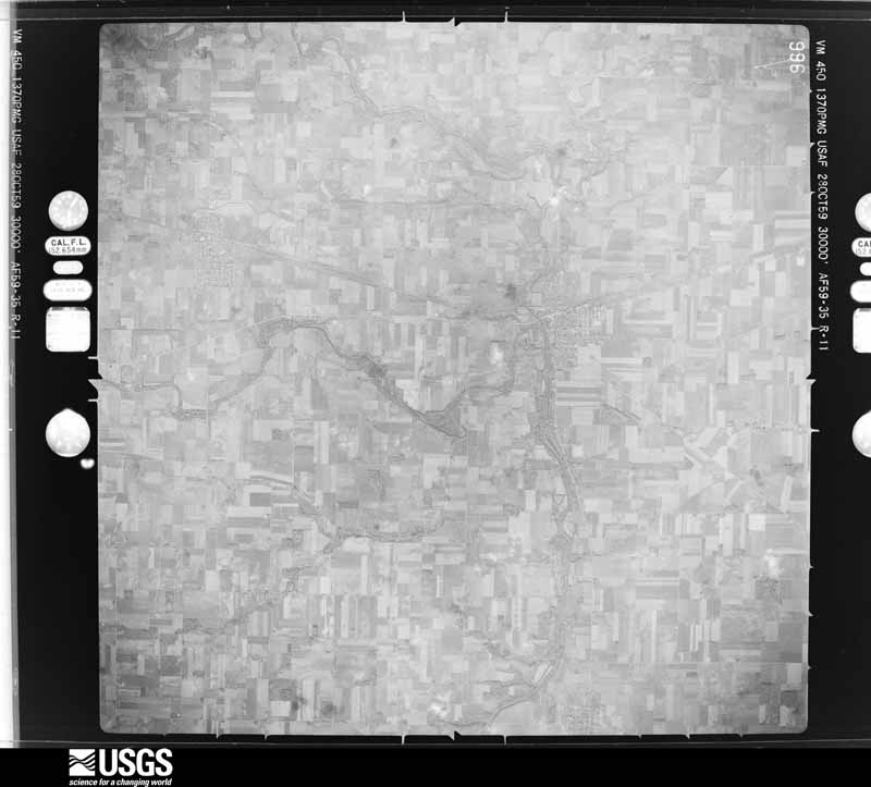
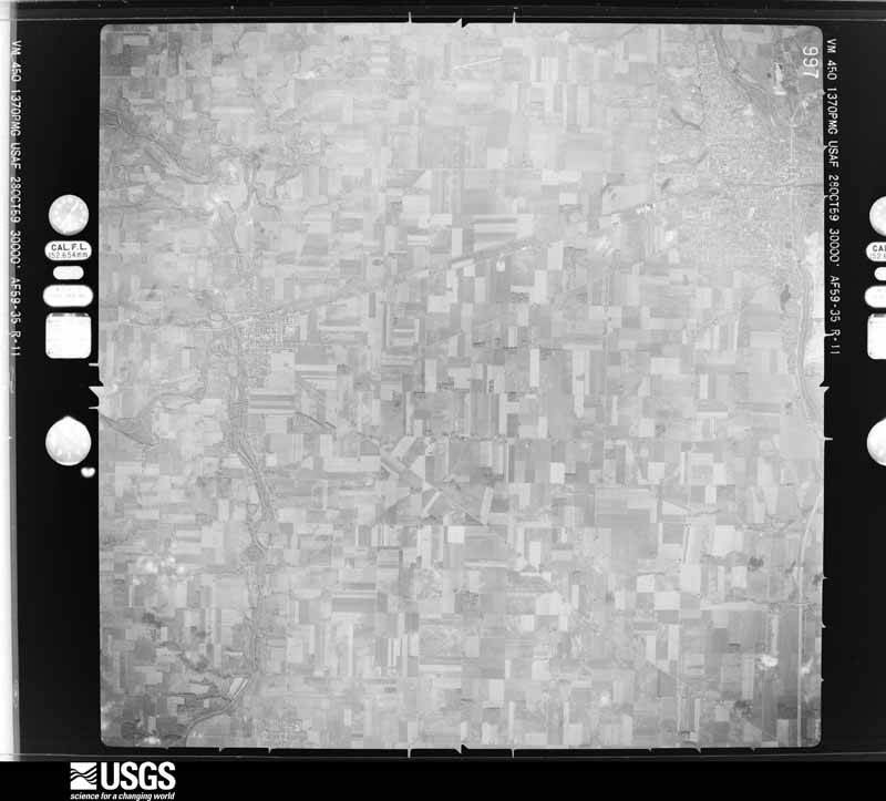
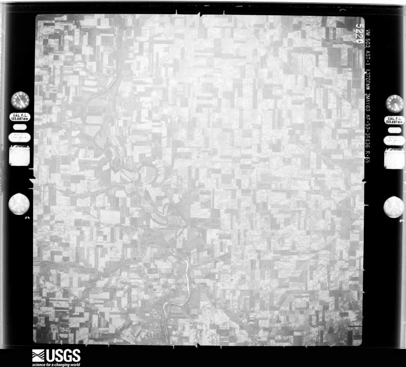
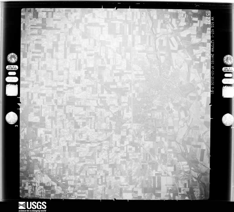
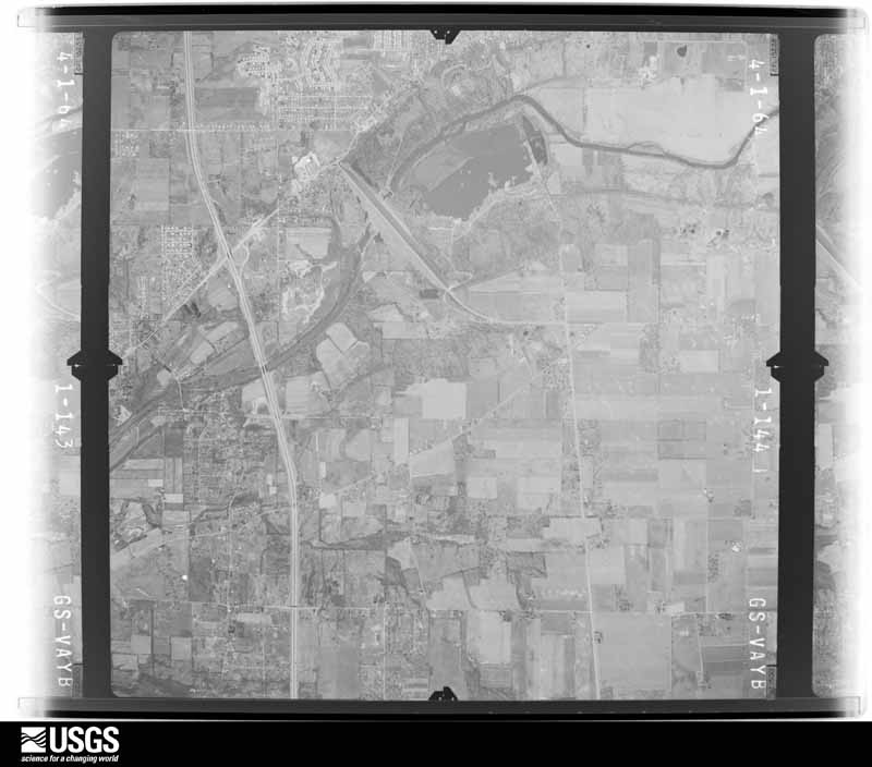
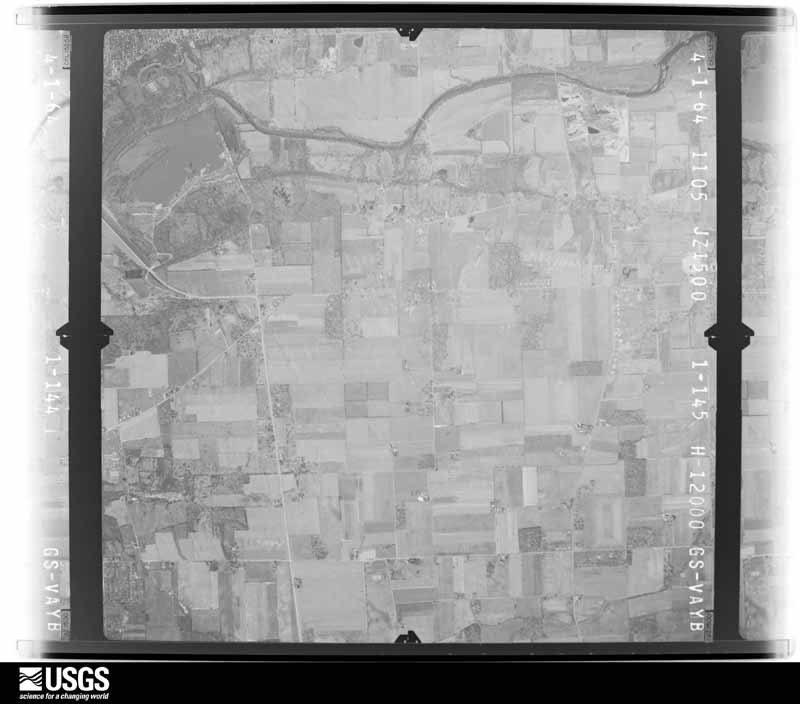
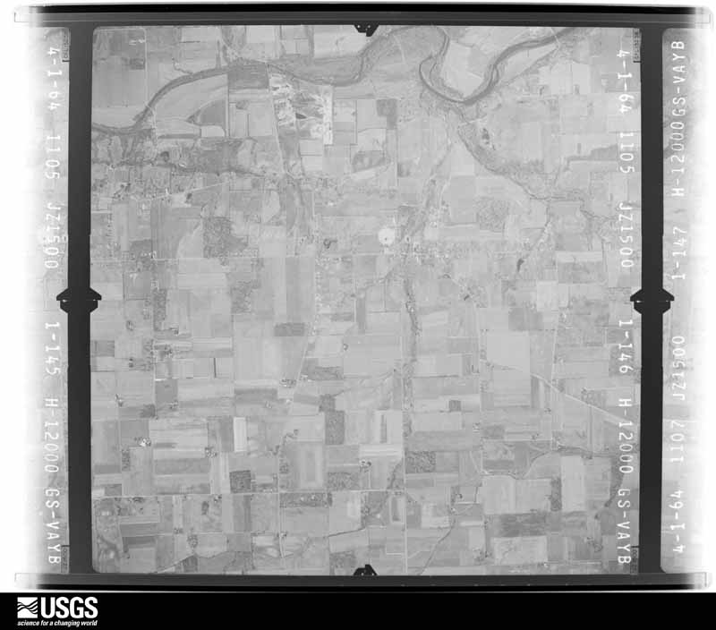
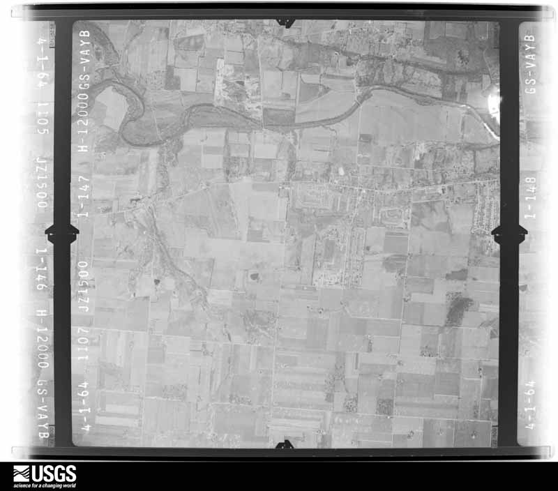
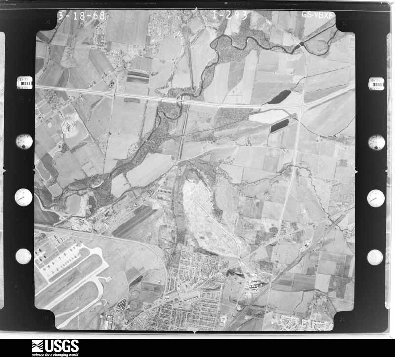
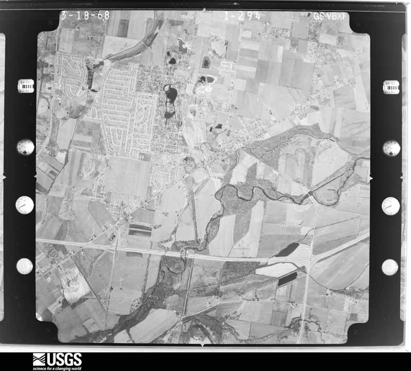
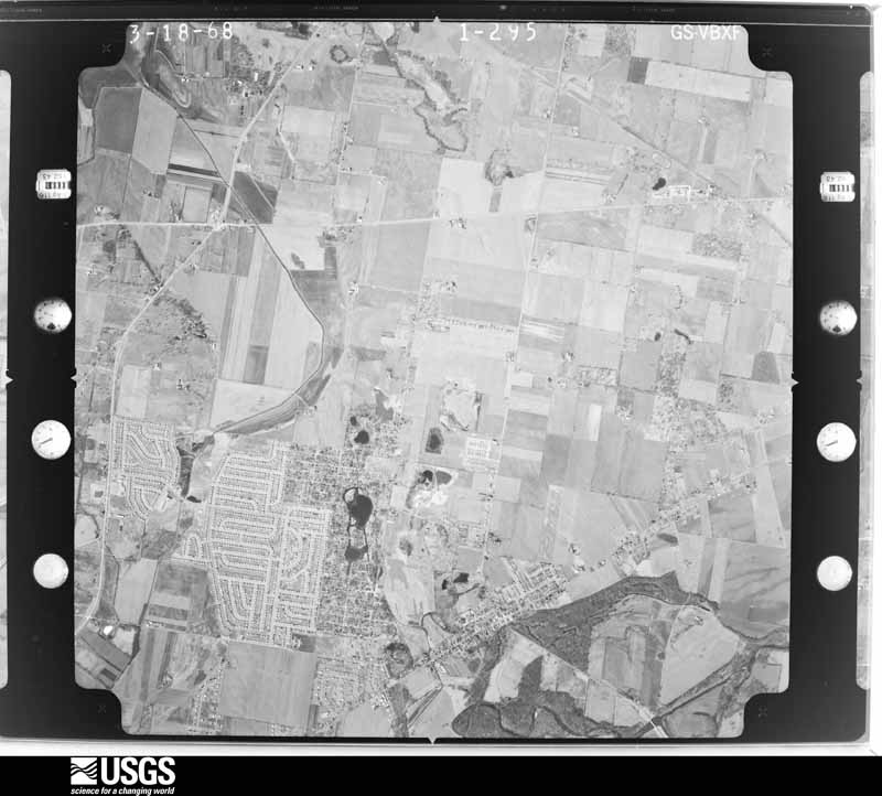
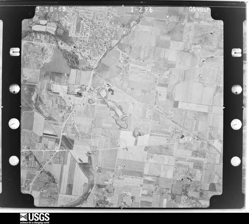
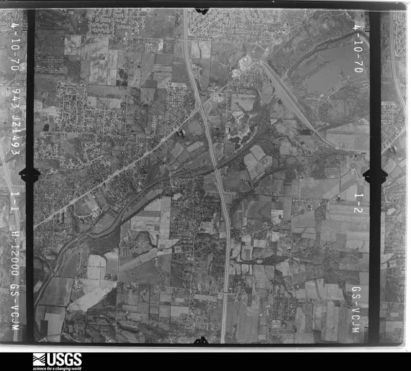
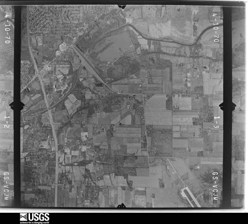
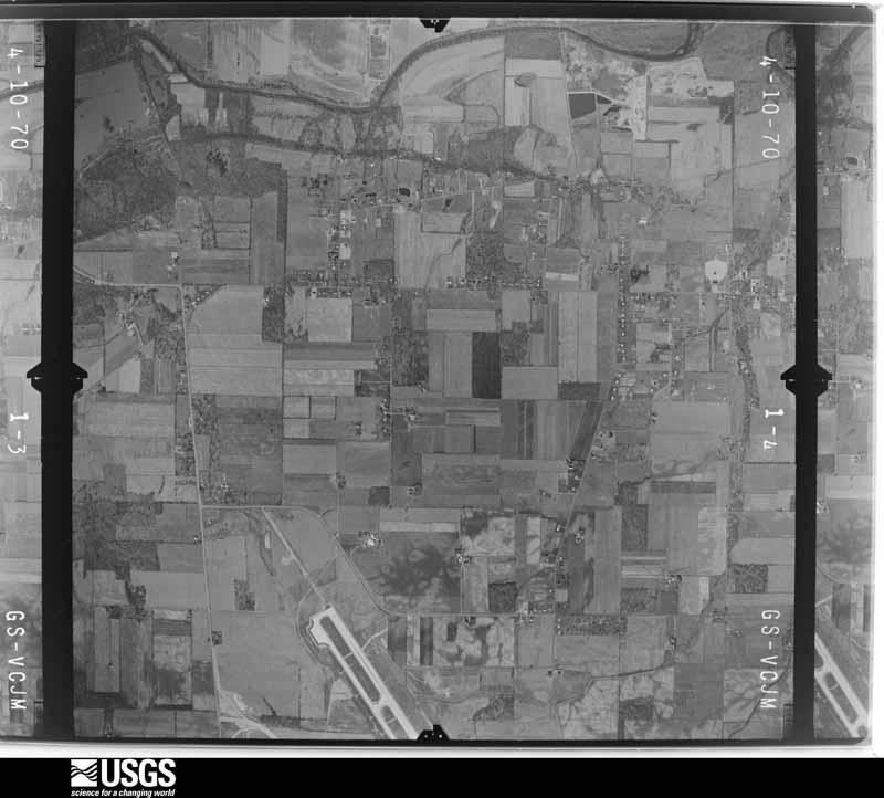
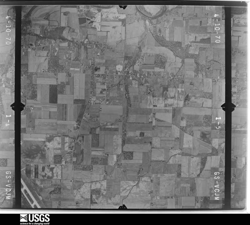
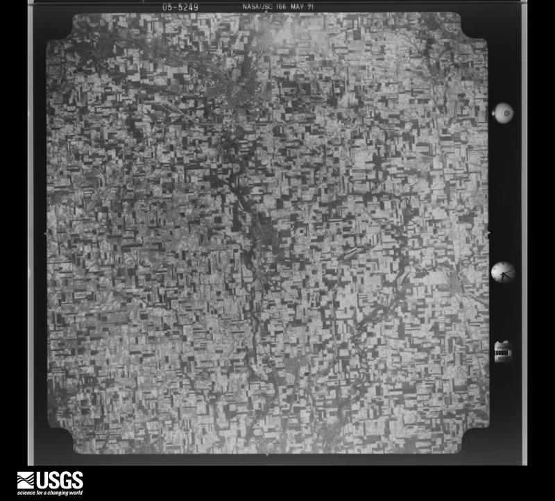
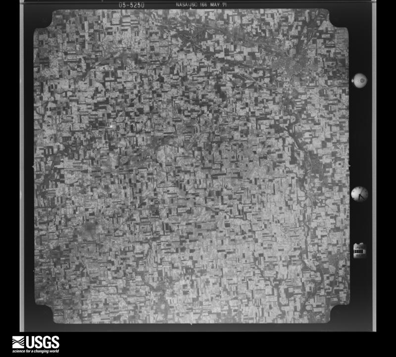
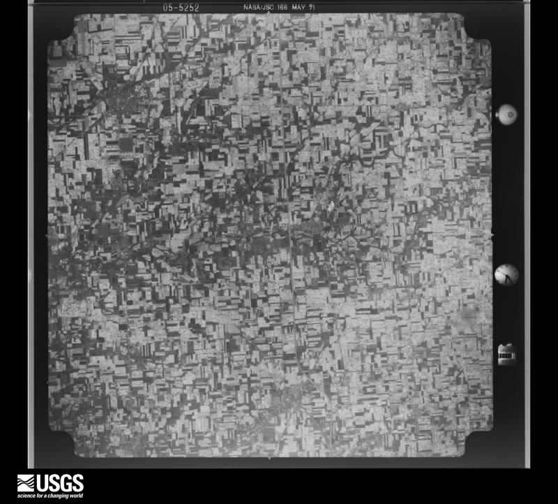
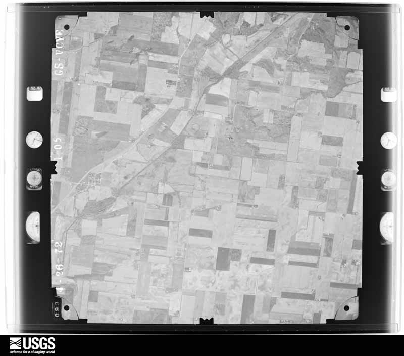
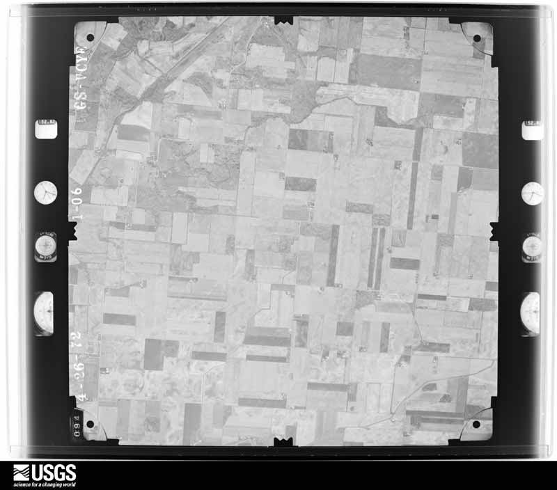
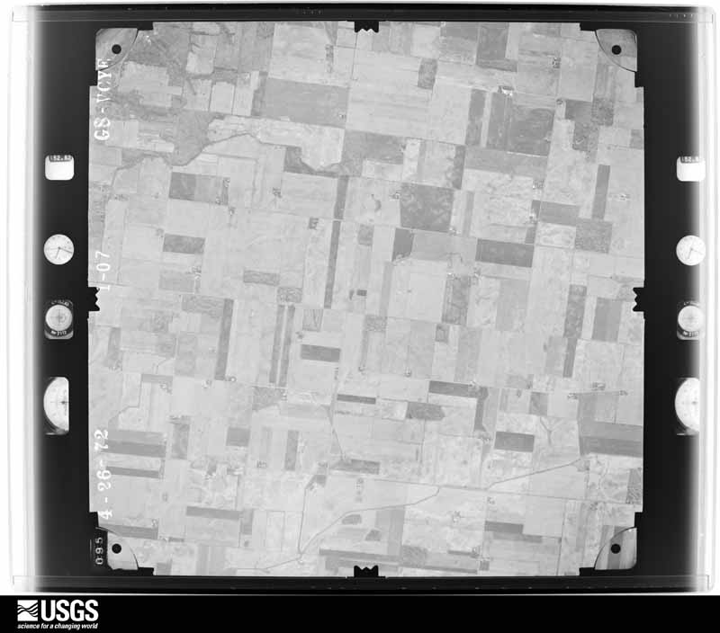
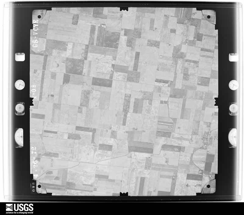
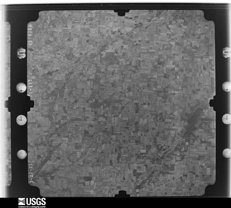
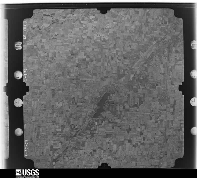
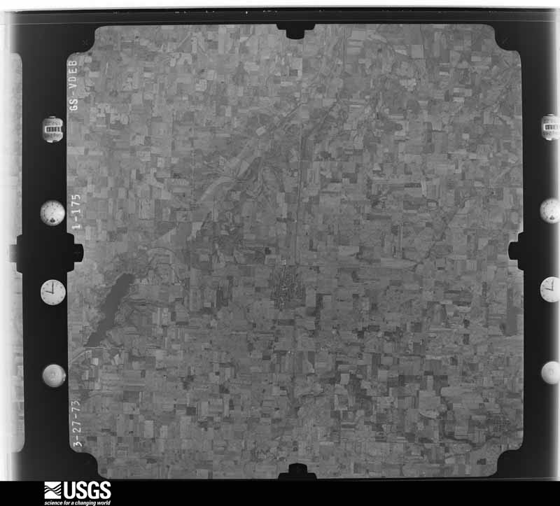
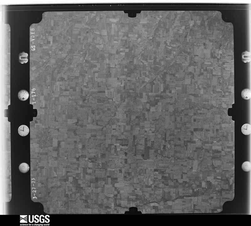
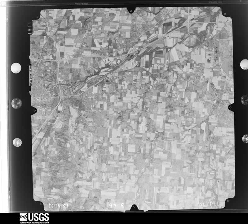
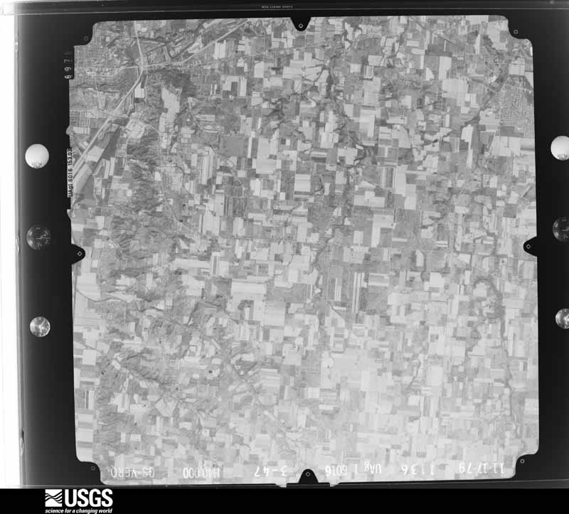
Flown by the U.S. Geological Survey between 1937 and 1989, the Aerial Photo Single Frames collection is the definitive mid-century view of the land: fields, roads and rivers as the camera saw them. 515 frames touch this county; the selection below spreads across the decades of flights (at most four per year), so one flight cannot crowd out the rest. The full set is free to browse and download at EarthExplorer under the dataset Aerial Photo Single Frames.

U.S. Geological Survey aerial photograph, 1952-08-01, scale 1:69000
1952-08-01, scale 1:69000. U.S. Geological Survey aerial photograph.
U.S. Geological Survey aerial photograph, 1952-08-01, scale 1:69000
1952-08-01, scale 1:69000. U.S. Geological Survey aerial photograph.
U.S. Geological Survey aerial photograph, 1952-08-01, scale 1:69000
1952-08-01, scale 1:69000. U.S. Geological Survey aerial photograph.
U.S. Geological Survey aerial photograph, 1952-08-01, scale 1:69000
1952-08-01, scale 1:69000. U.S. Geological Survey aerial photograph.
U.S. Geological Survey aerial photograph, 1959-10-28, scale 1:60000
1959-10-28, scale 1:60000. U.S. Geological Survey aerial photograph.
U.S. Geological Survey aerial photograph, 1959-10-28, scale 1:60000
1959-10-28, scale 1:60000. U.S. Geological Survey aerial photograph.
U.S. Geological Survey aerial photograph, 1959-10-28, scale 1:60000
1959-10-28, scale 1:60000. U.S. Geological Survey aerial photograph.
U.S. Geological Survey aerial photograph, 1959-10-28, scale 1:60000
1959-10-28, scale 1:60000. U.S. Geological Survey aerial photograph.
U.S. Geological Survey aerial photograph, 1960-05-03, scale 1:60000
1960-05-03, scale 1:60000. U.S. Geological Survey aerial photograph.
U.S. Geological Survey aerial photograph, 1960-05-03, scale 1:60000
1960-05-03, scale 1:60000. U.S. Geological Survey aerial photograph.
U.S. Geological Survey aerial photograph, 1960-05-03, scale 1:60000
1960-05-03, scale 1:60000. U.S. Geological Survey aerial photograph.
U.S. Geological Survey aerial photograph, 1960-05-03, scale 1:60000
1960-05-03, scale 1:60000. U.S. Geological Survey aerial photograph.
U.S. Geological Survey aerial photograph, 1964-04-15, scale 1:24000
1964-04-15, scale 1:24000. U.S. Geological Survey aerial photograph.
U.S. Geological Survey aerial photograph, 1964-04-15, scale 1:24000
1964-04-15, scale 1:24000. U.S. Geological Survey aerial photograph.
U.S. Geological Survey aerial photograph, 1964-04-15, scale 1:24000
1964-04-15, scale 1:24000. U.S. Geological Survey aerial photograph.
U.S. Geological Survey aerial photograph, 1964-04-15, scale 1:24000
1964-04-15, scale 1:24000. U.S. Geological Survey aerial photograph.
U.S. Geological Survey aerial photograph, 1968-03-18, scale 1:24000
1968-03-18, scale 1:24000. U.S. Geological Survey aerial photograph.
U.S. Geological Survey aerial photograph, 1968-03-18, scale 1:24000
1968-03-18, scale 1:24000. U.S. Geological Survey aerial photograph.
U.S. Geological Survey aerial photograph, 1968-03-18, scale 1:24000
1968-03-18, scale 1:24000. U.S. Geological Survey aerial photograph.
U.S. Geological Survey aerial photograph, 1968-03-18, scale 1:24000
1968-03-18, scale 1:24000. U.S. Geological Survey aerial photograph.
U.S. Geological Survey aerial photograph, 1970-04-10, scale 1:24000
1970-04-10, scale 1:24000. U.S. Geological Survey aerial photograph.
U.S. Geological Survey aerial photograph, 1970-04-10, scale 1:24000
1970-04-10, scale 1:24000. U.S. Geological Survey aerial photograph.
U.S. Geological Survey aerial photograph, 1970-04-10, scale 1:24000
1970-04-10, scale 1:24000. U.S. Geological Survey aerial photograph.
U.S. Geological Survey aerial photograph, 1970-04-10, scale 1:24000
1970-04-10, scale 1:24000. U.S. Geological Survey aerial photograph.
U.S. Geological Survey aerial photograph, 1971-05-16, scale 1:120317
1971-05-16, scale 1:120317. U.S. Geological Survey aerial photograph.
U.S. Geological Survey aerial photograph, 1971-05-16, scale 1:121613
1971-05-16, scale 1:121613. U.S. Geological Survey aerial photograph.
U.S. Geological Survey aerial photograph, 1971-05-16, scale 1:121613
1971-05-16, scale 1:121613. U.S. Geological Survey aerial photograph.
U.S. Geological Survey aerial photograph, 1971-05-16, scale 1:120281
1971-05-16, scale 1:120281. U.S. Geological Survey aerial photograph.
U.S. Geological Survey aerial photograph, 1972-05-01, scale 1:24000
1972-05-01, scale 1:24000. U.S. Geological Survey aerial photograph.
U.S. Geological Survey aerial photograph, 1972-05-01, scale 1:24000
1972-05-01, scale 1:24000. U.S. Geological Survey aerial photograph.
U.S. Geological Survey aerial photograph, 1972-05-01, scale 1:24000
1972-05-01, scale 1:24000. U.S. Geological Survey aerial photograph.
U.S. Geological Survey aerial photograph, 1972-05-01, scale 1:24000
1972-05-01, scale 1:24000. U.S. Geological Survey aerial photograph.
U.S. Geological Survey aerial photograph, 1973-10-01, scale 1:76000
1973-10-01, scale 1:76000. U.S. Geological Survey aerial photograph.
U.S. Geological Survey aerial photograph, 1973-10-01, scale 1:76000
1973-10-01, scale 1:76000. U.S. Geological Survey aerial photograph.
U.S. Geological Survey aerial photograph, 1973-10-01, scale 1:76000
1973-10-01, scale 1:76000. U.S. Geological Survey aerial photograph.
U.S. Geological Survey aerial photograph, 1973-10-01, scale 1:76000
1973-10-01, scale 1:76000. U.S. Geological Survey aerial photograph.
U.S. Geological Survey aerial photograph, 1974-05-01, scale 1:76000
1974-05-01, scale 1:76000. U.S. Geological Survey aerial photograph.
U.S. Geological Survey aerial photograph, 1974-05-01, scale 1:76000
1974-05-01, scale 1:76000. U.S. Geological Survey aerial photograph.
U.S. Geological Survey aerial photograph, 1974-05-01, scale 1:76000
1974-05-01, scale 1:76000. U.S. Geological Survey aerial photograph.
U.S. Geological Survey aerial photograph, 1974-05-01, scale 1:76000
1974-05-01, scale 1:76000. U.S. Geological Survey aerial photograph.
U.S. Geological Survey aerial photograph, 1975-11-19, scale 1:76000
1975-11-19, scale 1:76000. U.S. Geological Survey aerial photograph.
U.S. Geological Survey aerial photograph, 1975-11-19, scale 1:76000
1975-11-19, scale 1:76000. U.S. Geological Survey aerial photograph.
U.S. Geological Survey aerial photograph, 1979-11-01, scale 1:80000
1979-11-01, scale 1:80000. U.S. Geological Survey aerial photograph.
U.S. Geological Survey aerial photograph, 1979-11-01, scale 1:80000
1979-11-01, scale 1:80000. U.S. Geological Survey aerial photograph.
U.S. Geological Survey aerial photograph, 1979-11-01, scale 1:80000
1979-11-01, scale 1:80000. U.S. Geological Survey aerial photograph.
U.S. Geological Survey aerial photograph, 1979-11-01, scale 1:80000
1979-11-01, scale 1:80000. U.S. Geological Survey aerial photograph.

City directories

5 volumes

The "who lived here, by year" answer: pre-1929 public-domain directory volumes naming the county's people, machine-read and searchable as text.

Weather records

28 stations, 11 gages

The thermometers that kept this county's weather, and the gages that watched its rivers, as the federal records hold them. The extremes below are measured values from those records, not estimates.

The 1950 census, district by district

77 districts

Who lived here in 1950, one enumeration district at a time, as the Census Bureau described each district. Each row opens its official National Archives result, with Population Schedules and ED Maps available there.

  • 55-1Bethel township: Bethel township - That part east of the section line from the northwest corner of section 18, Township 2 East, Range 9 North to the southwest corner of section 13, Township 2 East, Range 9 North
  • 55-2Bethel township - That part west of the section line from the northwest corner of section 18, Township 2 East, Range 9 North to the southwest corner of section 13, Township 2 East, Range 9 North
  • 55-3Brown township: Fletcher village
  • 55-4Brown township - That part outside Fletcher village
  • 55-5Concord township: Troy city: Troy city - That part of Ward 1 Bounded by Ward line, City limits; City limits; E. Franklin; Oak, E. Main, New, E. Water, Baltimore and Ohio Railroad
  • 55-6Troy city - That part of Ward 1 Bounded by Great Miami River; Baltimore and Ohio Railroad, E. Water, New, E. Main, Oak; E. Franklin; N. Market
  • 55-7Troy city - That part of Ward 1 Bounded by E. Franklin; Williams; Cleveland, Cincinnati, Chicago and St. Louis Railroad; Baltimore and Ohio Railroad, E. Canal, N. Market
  • 55-8Troy city - That part of Ward 1 Bounded by E. Franklin; City limits; City limits; Baltimore and Ohio Railroad, Cleveland, Cincinnati, Chicago and St. Louis Railroad, Williams
  • 55-9Troy city - That part of Ward 2 Bounded by City limits; City limits; Ward line, Great Miami River; Great Miami River
  • 55-10Troy city - That part of Ward 2 Bounded by City limits; Great Miami River, Adams; W. Main
  • 55-11Troy city - That part of Ward 2 Bounded by W. Main; Elm; McKaig Ave., City limits; City limits
  • 55-12Troy city - That part of Ward 2 Bounded by W. Main, Adams, Great Miami River; N. Market; Canal, Monroe, McKaig Ave.; Elm
  • 55-13Troy city - That part of Ward 3 Bounded by McKaig Ave., Monroe, Canal; Plum; Drury Lane; Baltimore and Ohio Railroad
  • 55-14Troy city - That part of Ward 3 Bounded by Mckaig Ave.; Baltimore and Ohio Railroad; Drury Lane, Lake Ave., Wayne[; City limits
  • 55-15Troy city - That part of Ward 3 Bounded by Drury Lane; Plum, Grant; W. Market; City limits, Wayne, Lake Ave.
  • 55-16Troy city - That part of Ward 4 Bounded by Canal, E. Canal; Baltimore and Ohio Railroad; Cleveland, Cincinnati, Chicago and St. Louis Railroad; S. Market, Simpson, Plum
  • 55-17Troy city - That part of Ward 4 Bounded by W. Market, Grant, Plum; Simpson, S. Market; Cleveland, Cincinnati, Chicago and St. Louis Railroad; City limits
  • 55-18Troy city - That part of Ward 4 Bounded by Cleveland, Cincinnati, Chicago and St. Louis Railroad; Baltimore and Ohio Railroad; City limits; Cleveland, Cincinnati, Chicago and St. Louis Railroad
  • 55-19Concord township - That part north of State Hwy. 718, outside Troy city
  • 55-20Concord township - That part south of State Hwy. 718, outside Troy city
  • 55-21Elizabeth township
  • 55-22Lostcreek township: Casstown village
  • 55-23Lostcreek township - That part outside Casstown village
  • 55-24Monroe township: Tipp City village: Tipp City village - That part Bounded by Village limits; Village limits; Main; Baltimore and Ohio Railroad
  • 55-25Tipp City village - That part Bounded by Village limits; Baltimore and Ohio Railroad; Main; Village limits
  • 55-26Tipp City village - That part Bounded by Main; Baltimore and Ohio Railroad; Village limits; Village limits
  • 55-27Tipp City village - That part Bounded by Main; Village limits; Village limits; Baltimore and Ohio Railroad
  • 55-28Monroe township - That part north of State Hwy. 71, outside Tipp City village
  • 55-29Monroe township - That part south of State Hwy. 71, outside Tipp City village
  • 55-30Newberry township: Bradford village - That part in Miami County comprising part of Newberry township: Bradford village - That part north of Pennsylvania Railroad
  • 55-31Bradford village - That part south of Pennsylvania Railroad (Remainder of Bradford village is in Adams township, Darke County)
  • 55-32Covington village: Covington village - That part Bounded by Village limits; Village limits; Piqua Pike, Rock Ave.; Village limits

  • 55-33Covington village - That part Bounded by Rock Ave.; High, Thompson, Village limits; Village limits; Village limits
  • 55-34Covington village - That part Bounded by Rock Ave., Piqua Pike; Village limits; Village limits, Thompson; High
  • 55-35Newberry township - That part east of State Hwy. 48, outside Covington village
  • 55-36Newberry township - That part west of State Hwy. 48, outside Bradford and Covington villages
  • 55-37Newton township: Pleasant Hill village
  • 55-38Newton township - That part east of Stillwater River, outside Pleasant Hill village
  • 55-39Newton township - That part west of Stillwater River, north of State Hwy. 718 and Canyon Run
  • 55-40Newton township - That part south of Canyon Run and State Hwy. 718, west of Stillwater River
  • 55-41ASpringcreek township: Springcreek township - That part Bounded by County Iine; Township line; Snider Rd., Troy - Sidney Pike, U.S. Hwy. 25; Piqua city limits, Township line
  • 55-41BSpringcreek township - That part Bounded by U.S. Hwy. 25, Troy - Sidney Pike, Snider Rd.; Township line; Township line; Township line, Piqua city limits
  • 55-42Staunton township
  • 55-43Union township: Laura village
  • 55-44Ludlow Falls village
  • 55-45Potsdam village
  • 55-46Milton village: Milton village - That part Bounded by Village limits; Village limits; Village limits; S. Miami, Water, Main, Hays, State Hwy. 71
  • 55-47Milton village - That part Bounded by State Hwy. 71, Hays; Main, Water, S. Miami; Village limits; Village limits
  • 55-48Union township - That part east of State Hwy. 48 and north of State Hwy. 71, outside Ludlow Falls and Milton villages
  • 55-49Union township - That part north of Pottsdam - West Milton Pike and State Hwy. 71. and west of State Hwy. 48, outside Laura, Ludlow Falls, Potsdam, and Milton villages
  • 55-50Union township - That part south of Pottsdam - West Milton Pike and State Hwy. 71, outside Potsdam and Milton villages
  • 55-51Washington township: Piqua city: Piqua city - That part of Ward 1 Bounded by Pennsylvania Railroad; City limits; City limits; Staunton, First, Great Miami River
  • 55-52Piqua city - That part of Ward 1 Bounded by First; Staunton, City limits; City limits; Great Miami River
  • 55-53Piqua city - That part of Ward 1 Bounded by Pennsylvania Railroad; Great Miami River; South; S. Downing, Wood, S. Downing
  • 55-54Piqua city - That part of Ward 1 Bounded by South; Great Miami River, City limits; City limits; Ward line, S. Downing
  • 55-55Piqua city - That part of Ward 2 Bounded by Pennsylvania Railroad; S. Downing; Wood, Covington Ave.; City limits
  • 55-56Piqua city - That part of Ward 2 Bounded by Covington Ave.; Linden Ave.; South; City limits
  • 55-57Piqua city - That part of Ward 2 Bounded by Covington Ave., Gordon, Young; S. Downing; South; Linden Ave.
  • 55-58Piqua city - That part of Ward 2 Bounded by Wood; S. Downing; Young; Gordon
  • 55-59Piqua city - That part of Ward 2 Bounded by South; S. Downing; Clark Ave., Leonard, Summit; Gordon
  • 55-60Piqua city - That part of Ward 2 Bounded by South; Gordon; City limits; City limits
  • 55-61Piqua city - That part of Ward 2 Bounded by Summit, Leonard, Clark Ave.; Ward line; City limits; Gordon
  • 55-62Piqua city - That part of Ward 3 Bounded by City limits; E. Ash, W. Ash; N. Wayne, W. North, E. North, Ward line
  • 55-63Piqua city - That part of Ward 3 Bounded by W. North; N. Wayne; W. Ash; College
  • 55-64Piqua city - That part of Ward 3 Bounded by Ward line, W. North; College; W. Ash, Lincoln, W. High, Clayton Pike; City limits
  • 55-65Piqua city - That part of Ward 3 Bounded by Clayton Pike, W. High, Lincoln, W. Ash; College; Pennsylvania Railroad; City limits
  • 55-66Piqua city - That part of Ward 3 Bounded by W. Ash; N. Wayne; Pennsylvania Railroad; College
  • 55-67Piqua city - That part of Ward 3 excluding Fort Piqua Hotel Bounded by W. Ash, E. Ash; City limits; Pennsylvania Railroad; N. Wayne
  • 55-68Fort Piqua Hotel (In Piqua city, Ward 3)
  • 55-69Piqua city - That part of Ward 4 Bounded by City limits; City limits, Ward line; E. North, N. Main, River, N. Downing, Camp; Broadway
  • 55-70Piqua city - That part of Ward 4 Bounded by City limits; Broadway; Scott, Walker, Virginia, Maple, Lincoln, Locust; Washington Ave.
  • 55-71Piqua city - That part of Ward 4 Bounded by City limits; Washington Ave., Locust, Lincoln; Park Ave., Stillwater Pike; City limits
  • 55-72Piqua city - That part of Ward 4 Bounded by Maple, Virginia, Walker, Scott; Broadway; Park Ave.; Lincoln
  • 55-73Piqua city - That part of Ward 4 Bounded by Camp, N. Downing; River, N. Main; W. North; Broadway
  • 55-74Piqua city - That part of Ward 4 Bounded by Park Ave.; Broadway; W. North; Virginia
  • 55-75Piqua city - That part of Ward 4 Bounded by Stillwater Pike, Park Ave.; Virginia; W. North, Ward line; City limits
  • 55-76Washington township - That part outside Piqua city

Businesses named in the atlases

61 businesses

Every Sanborn volume opens with a printed index naming the town's mills, tanneries, hotels and works by proprietor. Those indexes were read off the scanned sheets by machine and then matched to each other, so a business surveyed four times appears here once, with the years it survived. 7 of these 61 were named in more than one atlas. Each carries a crop of the line it was read from: the spelling is the recogniser's and the 1880s lithographer's, and the scan behind it is the proof.

Wildfire, 2002 to 2002

2 fires

Every wildfire the federal occurrence database records inside this county: 2 of them, burning about 1 acres. 0 started naturally and 0 were recorded as arson. Each settlement page carries the fires within five miles of it.

Reported cause Fires
Equipment and vehicle use1
Missing data/not specified/undetermined1

The five largest, by the area the report gives. None of them was recorded as arson.

DateCause SizeReported by Name on the report
11 August 2002Equipment and vehicle use1.0 acresOhio State Fire Marshal's Officenot named
10 August 2002Missing data/not specified/undeterminedunder an acreOhio State Fire Marshal's Officenot named

Every settlement page carries the fires within five miles of it - see the settlement index below.

Storms, 1955 to 2026

60 of 406 shown

The NOAA Storm Events Database holds 406 reports for this county, causing 1 death, 10 injuries and about $19,971,050 in recorded property damage. Each settlement page carries the reports that name it.

Kind of event Reports
Thunderstorm Wind234
Hail80
Tornado35
Flood26
Flash Flood23
Lightning5
Heavy Rain3

The most serious of them, by death, then injury, then recorded damage. The accounts are quoted exactly as the forecast office filed them.

WhenEvent Place namedHarm What the report says
April 2001LightningPiqua1 killedLightning struck a man near a tree at a city park.
June 2007LightningTroy3 hurtA man and his two sons were standing underneath a tree when it was struck by lightning at the Troy Strawberry Festival. The three individuals suffered non life-threatening injuries.
May 2019Thunderstorm WindTipp City2 hurt, $100,000Numerous trees were downed on the northwest side of Tipp City. Two people received minor injuries when a tree fell onto a house on Arapaho Trail. Trees also fell on several other houses in the area. In addition, athletic fencing was damaged at Tippecanoe Middle School.
May 2019Tornado (EF3)Potsdam1 hurt, $10,000,000The tornado initially touched down in Darke County at 2125EST, about a mile southeast if Pitsburg. It moved east and entered Miami County at 2128EST along Hall Road, about a half mile northwest of Potsdam. ||As the tornado entered Miami County, significant tree damage occurred on State Route 721 south of Laura. Structural damage began to occur near the intersection of Wright Road and Markley Road, with partial roof loss to an outbuilding. On Ditmer Road and South Shiloh Road, nearly every property sustained tree damage, some of which was significant.||As the tornado neared State Route 571, structural damage became much more severe. Several homes on State Route 571 between South Shiloh Road and South Range Line Road were rendered uninhabitable. Many homes had at least partial roof removal and some sustained complete roof removal. A few homes suffered the collapse of some exterior walls and while this was more common with garage walls, it also occurred on a few well-built walls away from garages. At one home, a lawn tractor was thrown out into the adjacent field to the northeast.||Damage was very similar across the field on South Range Line Road. Two homes experienced complete roof removal, with one also having walls collapse on multiple sides of the second story of the home. Mud splatter on all sides of structures was significant, and one vehicle interior was largely covered in mud after the failure of the rear window. Another home lost a significant portion of the roof, as well as losing quite a bit of material from an interior wall after the winds had entered the structure. The rotating winds of the tornado were very obvious on this north-to-south oriented road. Along the northern portion of the tornado track, one home lost its entire roof and had it deposited hundreds of feet into the field to the west, opposite the direction of motion of the tornado. Along the southern portion of the tornado track, debris accumulated across the field, along a tree line over a quarter mile away to the east.||The width of this tornado was most evident as it passed east across Elleman Road. Damage was observed as far south as the intersection with State Route 571 and as far north as several spots along State Route 55. While the damage on State Route 55 was primarily to roofing material and trees, more significant structural damage continued to be observed a little farther south on Elleman Road.||The tornado maintained its intensity as it crossed State Route 48 about a mile and a half north of downtown West Milton. Tree damage was severe along this road, with canopy loss even to trees that remained standing. Many structures were heavily damaged or destroyed. The only known injury from this tornado occurred when a trailer home was flipped over. A well-built brick home suffered the collapse of large portions of the west-facing and south-facing walls, with near-complete roof removal. A garage adjacent to this property was flattened. A trailer home just to the south was completely destroyed, with the failure of nearly all exterior walls and even some interior walls. Debris from these homes and structures was carried about a half mile across the field, stopped only by the tree line from traveling farther.||Widespread tree damage and moderate structural damage continued to be observed as the tornado moved east across Calumet Road, Kessler-Frederick Road, and Kessler Road. One home on Kessler Road lost its entire roof and a full-size camper was thrown and wedged against the garage.||Less significant damage was observed after passing Kessler Road, where the tornado turned from the east to the southeast. Damage observed on Nashville Road south of West Kessler Cowlesville Road was limited to trees, and it is believed that the tornado dissipated somewhere in this vicinity.||This tornado was responsible for a lengthy swath of EF2 level damage, generally 120 to 130 mph, extending from State Route 571 to Kessler Road. However, damage to a few homes on State Route 571, South Range Line Road, and State Route 48, was notably more significant, with a combined degree of roof loss and exterior wall collapse that warranted an estimate of 140 mph winds, within the EF3 category.
March 1955Tornado (F1)not stated1 hurt, $250,000no account filed
May 1982Tornado (F1)not stated1 hurt, $25,000no account filed
June 2012Thunderstorm WindPiqua1 hurt, $10,000A tree fell on a pickup truck due to thunderstorm winds. One person in the truck was injured.
June 1996LightningTroy1 hurtno account filed
June 1989Tornado (F1)not stated$2,500,000no account filed
May 2014Flash FloodTipp City$1,300,000Water rescues were being performed across the county, but especially in the Troy and Tipp City areas for people being trapped in cars stranded by flash flooding. The flash flooding was caused by heavy rainfall.
June 2022Tornado (EF2)West Milton$1,000,000The tornado touched down west of West Milton in open farmland and was only loosely in contact with the ground as it traveled east through West Milton. Only minor tree damage was seen for the first few miles of the track, with the vast majority of the tree damage being broken limbs and a few uprooted trees.||As the tornado moved through the Nashville area and toward Tipp City, it began to strengthen and caused EF-1 category wind damage to trees, power poles, and residences along West Kessler Cowlesville Road, especially near its intersection with Peters Road.||As the tornado approached Interstate 75, it strengthened further and directly hit several large industrial warehouse buildings on both the east side and west sides of the Interstate. On the west side of the Interstate, a large warehouse suffered considerable roof damage and a complete collapse of an exterior wall. Several empty semi trailers were overturned or rolled. In this area, damage was consistent with wind speeds of around 120 mph, or EF-2 damage. ||The tornado continued across the Great Miami River into rural farmland where the intensity quickly decreased and damage to trees and outbuildings was consistent with EF-0 or low-end EF-1 damage. The tornado then lifted south-southeast of Casstown.
March 2024Tornado (EF2)Bradford$750,000The tornado developed at 1850EST in Randolph County, Indiana, just south of Farmland. The tornado traveled east across Randolph County, Indiana, and Darke County, Ohio, and entered Miami County at 1952EST, along State Route 721, just north of Grandview Drive. The tornado reached EF-2 intensity with winds of up to 120 mph near the intersection of Klinger and Rangeline Roads. Two homes had a significant amount of roof and some external wall removal while other nearby properties had outbuildings that were severely damaged.||The last damage was noted along State Route 48 near the intersection with Klinger Road. The tornado is believed to have dissipated near this location at 2000EST.
January 2020Tornado (EF0)Troy$500,000The tornado touched down initially in the southwest portions of the city of Troy and moved northeast through the center of the city. It then crossed the Great Miami River before it weakened and lifted in the far northeast portions of the city.||Much of the damage was confined to trees and roofs, both residential and commercial, as the tornado moved through the city. To the west of the Great Miami River, damage was more intermittent and weak in comparison to areas east of the Great Miami River, where more concentrated and significant tree and roof damage was noted. In particular, areas near Troy High School and along and east of North Market Street saw the most concentrated and higher end structural damage to roofing material. This included the far eastern portions of the downtown area which saw several businesses lose all or portions of their roofs.||Damage was tornadic in nature, especially on the east side of the Great Miami River, where convergent tree damage was easily noted before the tornado rapidly weakened as it left the city. Damage along the path was consistent with wind speeds ranging from 65 to 80 mph, again with the highest wind speeds estimated on the east side of the Great Miami River.
September 2011Thunderstorm WindTipp City$250,000Numerous large trees were sheared or uprooted. Nineteen loaded trailers were overturned and two air conditioning units were blown off a roof at a distribution center. Eight wooden high voltage electric poles were snapped. Another semi trailer was overturned on a highway. These occurrences were due to damaging thunderstorm winds.
April 1999Tornado (F1)Tipp City$250,000The tornado pushed cars off of the road, peeled siding from houses, downed several trees, damaged storage buildings and destroyed several campers and RV's on a sales lot.
June 1992Tornado (F1)not stated$250,000no account filed
June 1989Tornado (F1)not stated$250,000no account filed
June 1961Tornado (F2)not stated$250,000no account filed
April 2023Tornado (EF0)Laura$200,000The tornado first touched down near Pemberton Road, where it caused significant damage to a barn and a garage on Penny Road. The tornado continued east-northeast and moved through a commercial area on State Route 41 and then caused roof damage to several homes on the north side of Troy. Consistent damage continued to as far east as Deweese Road. Reports and photo evidence from numerous citizens in the area, in addition to emergency management officials, helped determine the extent of this tornado. Maximum winds were estimated to be around 85 mph.
July 2022Tornado (EF1)Troy$100,000The initial damage occurred near the intersection of Cheshire Road and Dorset Road, where several large tree limbs were downed. Damage became a little more concentrated near the intersection of Armand Drive and McKaig Avenue, where several large tree limbs and a few trees were downed. Tree damage also occurred at an apartment complex along Red Cedar Drive.||The most heavily concentrated area of damage occurred near Drury Lane and Ridge Avenue. Numerous very large, healthy trees were downed, with one trunk snapped at its base, and several other very large branches snapped not far off the ground. A couple of homes also had some minor roof damage. On West Simpson Street, just to|the east, a car was heavily damaged by a falling tree limb.||The damage path became narrower near Terrace Place, Market Street, and West Street. A bank sign was damaged and several more large trees and tree limbs were downed. In the neighborhood south of West Street, a few more homes had minor roof damage, with a fairly consistent area of tree damage observed as far southeast as Walker Street and Dakota Street.||Tree damage was also reported in other locations in Troy, such as Stanfield Road, West Ross Street, and Dakota Street. The rest of this damage is believed to have been caused by straight-line winds with speeds of 60 to 70 MPH.
May 2019Thunderstorm WindEvanston$100,000Damage began on the south side of Kerr Drive, near David Drive, where trees were snapped off and several homes had shingle removal. Farther northeast, closer to I-75, more trees were broken off. Several buildings along I-75 between Floral Acres Drive and Springmeade Lane also sustained minor roof damage, including shingle and soffit removal. On the east side of I-75, several residential homes on Manchester Drive and Windsor Crossing had minor roof damage, including shingle and soffit removal. Light tree damage was also observed on the east side of I-75.||None of the damage was conclusively tornadic in nature, and was likely a result of rear-flank downdraft winds tied to a confirmed tornado a few miles to the north.||Estimated wind speeds in this area were determined to be around 60 mph.
June 2012Thunderstorm WindPiqua$100,000Several recreational vehicles were blown over at a dealership due to thunderstorm winds. A roof of one of the show rooms was significantly damaged.
March 2016Tornado (EF0)Potsdam$75,000The first evidence of damage occurred at a property on Hall Road. A few shingles were damaged on the house and one tree had a large limb broken off. A more concentrated area of damage occurred along and east of Stauffer Road, just north of the intersection with Coppock Road. Minor tree damage was observed at several properties on Stauffer Road, with a few healthy trees downed. A pine tree near the north end of the damage path was blown toward the southeast. One home had its sheet metal roof almost completely peeled off and deposited to the west of the home. Minor shingle damage occurred to a nearby garage. There was also significant scattering of minor debris in this location, including small limbs and a play structure. A shed located behind one of the residences was also destroyed with its debris scattered northwest into an adjacent field.
October 2013Tornado (EF0)Lena$70,000The tornado touched down in a corn field on the west side of Lena-Palestine Road where it produced a clear path of heavily damaged corn stalks. The tornado then crossed Lena-Palestine Road where it destroyed a barn and strewn debris from the barn to the north and upwind of the actual tornado path. A large portion of the barn roof was lifted and thrown upwind into the top of a nearby tree. A tree was also split near this barn. The tornado then continued on the ground and produced heavy damage to a second barn north of the first barn before the tornado lifted. Based on the damage surveyed, the maximum wind speed of this tornado was estimated at 75 miles per hour.
April 2023Tornado (EF0)Circle Hill$50,000The tornado first touched down south of W Sugar Grove Circle Hill Road. It then tracked east through Sugar Grove before ending with damage near Mowry Road. Reports and photo evidence from numerous citizens in the area, in addition to emergency management officials, helped determine the extent of this tornado. Maximum winds were estimated to be around 80 mph.
January 2020Tornado (EF0)Farrington$50,000The tornado first touched down on the north side of East Peterson Road, about 4 miles southwest of Fletcher. It then crossed North Union Shelby Road, moved across the Big Woods Reserve, and then moved across the far southeast portions of the town of Fletcher. The tornado lifted about 2 miles northeast of Fletcher in an open field after it removed a portion of a barn roof on Snyder Road.||Damage consisted mainly of broken and snapped off trees and roof damage to barns and outbuildings. Snapped electrical poles were assessed on the east side of Fletcher. Residential structures were impacted either with shingle and soffit removal, or with trees having fallen on them.
May 2019Tornado (EF0)Troy Skypark Arpt$50,000Damage from this tornado is believed to have begun at a residence on Monroe Concord Road, where minor tree damage was observed, along with damage to a shed. Further to the northeast, at a property on Peters Road, just north of Interstate 75, an outbuilding suffered partial loss of some roofing material.||Damage appeared to be most significant in a subdivision south of Swailes Road. Dozens of trees were downed or damaged within this subdivision, which included Linconshire Drive, Fiesta Drive, Greenlawn Drive, and Windmere Drive. Although tree damage was fairly widespread, there were no obvious signs of structural damage to any of the homes.||Just west of South County Road 25A, a barn was sustained a partial roof loss. Several trees were also downed at this property.||Minor tree damage was observed further to the northeast along State Route 202, Knoop Road, and South Childrens Home Grayson Road. The tornado is believed to have dissipated somewhere near South Childrens Home Grayson Road, south of State Route 41.||Damage was consistent with an EF0 tornado with maximum winds of 70 mph.
May 2017Tornado (EF1)Brandt$50,000The tornado first touched down on the western side of Park Layne in Clark County at 2016EST and entered Miami County at 2020EST, about 1.7 miles east-southeast of Brandt. The tornado continued in Miami County for another 4.1 miles before dissipating along State Route 571, west of State Route 201. ||While in Miami County, tree and minor roof damage occurred along Bellefontaine Road, Palmer Road, and State Route 201, with maximum wind speed estimates of 95 mph in this area, or EF1. The tornado track appeared to end just northwest of the State Route 571 intersection with State Route 201, where a barn sustained damage caused by estimated wind speeds of around 80 mph. The maximum width in Miami County was 300 yards. This tornado was rated an EF1 in both Miami and Clark Counties.
December 2013FloodCovington$50,000High standing water up to three feet deep was covering roads around Covington with cars submerged.
October 2013Thunderstorm WindCasstown$50,000East Northeast of Casstown, a roof was blown off a garage, a 27 foot camper was blown into a field, large trees were downed, and a house had a chimney blown off due to thunderstorm winds.
August 2000Thunderstorm WindPiqua$50,000Many trees and power lines were blown down across the county. In Piqua alone, at least 130 trees were knocked down, 12 homes damaged severely, and 3 vehicles were nearly destroyed.
June 1995Thunderstorm WindPiqua$50,000A roof was blown off a hanger, damaging three small planes. Several trees were also downed, one damaging a house.
May 1994Thunderstorm WindTroy Piqua$50,000Trees were downed and a recreational vehicle was overturned in Spring Creek Township. Trees were also reported downed in Troy and Piqua.
July 1994Thunderstorm WindTroy$50,000Trees were downed, some on cars and power lines.
June 2023Tornado (EF0)Ginghamsburg$30,000The tornado first touched down on the west side of South Tipp-Cowlesville Road where a detached garage had part of its roof lifted and removed, with concentrated tree damage throughout the rest of the property. Some roofing material was carried across South Tipp-Cowlesville Road into adjacent fields, approximately 200 yards downstream. On the east side of South Tipp-Cowlesville Road, a grove of trees sustained some damage with large branches snapped and broken off. The tornado then continued northeast toward Tipp Canal Road, where it likely lifted on the west side of the road in an open field. Here, trees on the west side of the road in the distance clearly had been snapped and broken off near the top.||The damage was consistent with wind speeds of around 70 mph.
December 2015Thunderstorm WindPleasant Hill$30,000Multiple buildings were damaged at 1845 North Rangeline Road.
July 2022Thunderstorm WindEldean$25,000Numerous trees and power poles were downed throughout Miami County.
June 2017Thunderstorm WindLaura$25,000On Fenner Road, just to the west of Rangeline Road, one barn was partially destroyed with only some of it still standing, while a second one had major damage.
July 2004Tornado (F0)West Milton$25,000A tornado briefly touched down, causing severe damage to a house with its front porch ripped away from the frame. Aluminum siding and much of the roof was peeled off the house. Five trees were uprooted.
June 1984Tornado (F1)not stated$25,000no account filed
May 1982Tornado (F1)not stated$25,000no account filed
July 1978Tornado (F0)not stated$25,000no account filed
July 1961Tornado (F1)not stated$25,000no account filed
May 2019Tornado (EF0)Garland$20,000This tornado first impacted a property north of Montgomery County Line Road and just east of State Route 721, where very minor damage to farm equipment was observed. Roof damage was observed at the next property to the southwest, with tree damage at a home directly north of Montgomery County Line Road. It was at this point, just north of the Phillipsburg Airport, that the tornado continued southeast into Montgomery County. The tornado ended in Montgomery County, at a property on N Diamond Mill Road at 2224EST.||Damage in Miami County was consistent with an EF0 tornado with 80 mph winds.
December 2013FloodTroy$20,000Ten to twelve home evacuations were required near the Great Miami River. Two water rescues occurred from people driving into the flood waters.
July 1998Thunderstorm WindCountywide$20,000Trees downed across the county.
June 1996LightningCovington$20,000no account filed
November 2020Thunderstorm WindTroy$15,000Numerous trees were downed throughout the county.
June 2017Thunderstorm WindLudlow Falls$15,000On Horseshoe Bend Road, just west of St. Rt. 48, a barn was completely flattened. Also, several large trees and power poles were knocked down.
June 2017Thunderstorm WindLudlow Falls$15,000Power lines were knocked down near Elleman Road.
July 2006Thunderstorm WindTroy$15,000Numerous trees and powerlines were downed. A building sustained roof damage at the Miami County Fairgrounds. A tree also fell on a vehicle, causing minor damage.
January 1997Thunderstorm WindFletcher$15,000no account filed
June 2025Thunderstorm WindCovington$10,000It was reported that 10 to 15 large trees were downed on a property. Additionally, some corn in a farm field was damaged by the wind.
July 2025Thunderstorm WindCowlesville$10,000Numerous trees were downed on the south side of the city of Troy.
July 2023Thunderstorm WindEldean$10,000Several trees and power lines were downed.
July 2023Thunderstorm WindWest Milton$10,000A few trees and power lines were downed.
June 2020Thunderstorm WindPleasant Hill$10,000Trees and wires were reported down throughout Newton Township.
June 2020Thunderstorm WindEvanston$10,000Numerous trees and wires were reported down in Monroe Township.
June 2020Tornado (EF0)Sugar Grove$10,000A brief tornado touchdown occurred south of Covington in Miami County Ohio. The tornado appears to have touched down just west of the Stillwater River near North Owens Road. The tornado caused tree damage along West Sugar Grove Road as it moved east. The tornado lifted before it reached Ohio Route 48. Based on pictures of the tree damage, this tornado was rated as EF-0 on the Enhanced Fujita Scale, with maximum winds of 70 mph.
May 2019Thunderstorm WindPiqua$10,000A tree fell onto a house in Piqua.

Mines and quarries

28 recorded

The Survey's mineral resources record lists 28 workings inside this county. 13 still produce and 15 are closed or unrecorded. Each settlement page carries the workings within five miles of it.

Commodity Workings
Sand and Gravel, Construction18
Limestone, General4
Stone, Crushed/Broken4
Stone, Crushed/Broken, Sand and Gravel, Construction1
Limestone, Dimension1

The least common of them first, because a county's hundredth gravel pit says nothing its first ten did not.

Where SiteCommodity StatusRecorded
Gregory QuarryLimestone, DimensionPast Producer
Poeppelman QuarryStone, Crushed/Broken, Sand and Gravel, ConstructionProducer
Gregory PitStone, Crushed/BrokenProducer
Gregory QuarryLimestone, GeneralPast ProducerSedimentary
Gregory QuarryStone, Crushed/BrokenProducer
Piqua MineralsStone, Crushed/BrokenProducer
Piqua QuarriesLimestone, GeneralPast ProducerSedimentary
Tipp Stone QuarryLimestone, GeneralPast ProducerSedimentary
Tipp Stone QuarryStone, Crushed/BrokenPast Producer
Eldean PitSand and Gravel, ConstructionPast ProducerSedimentary
Eldean PitSand and Gravel, ConstructionProducer
Ernst Gravel Co Plant No 1 & PitSand and Gravel, ConstructionProducer
New Carlisle Sand and Gravel PitSand and Gravel, ConstructionPast ProducerSedimentary
New Carlisle Sand and Gravel PitSand and Gravel, ConstructionPast Producer
Pique PlantSand and Gravel, ConstructionPast ProducerSedimentary
Spring Creek PitSand and Gravel, ConstructionProducer
Steiners PitSand and Gravel, ConstructionPast ProducerSedimentary
Steiners Pit & MillSand and Gravel, ConstructionPlant
Tipp City PitSand and Gravel, ConstructionPast ProducerSedimentary
Tipp Pit and MillSand and Gravel, ConstructionPast Producer
Troy PitsSand and Gravel, ConstructionPast ProducerSedimentary
Troy Plant & PitSand and Gravel, ConstructionPlant
Valley PitSand and Gravel, ConstructionProducer
Vandalia Gravel, Inc.Sand and Gravel, ConstructionPlant
Wise Gravel PitSand and Gravel, ConstructionPast ProducerSedimentary
Wise Gravel PitSand and Gravel, ConstructionProducer
Woodville PitSand and Gravel, ConstructionProducer

Collected here, 1835 to 1975

8 of 567 shown

Museum specimens collected inside this county and catalogued with a date and a place: 567 of them, by kingdom 520 animalia, 23 fungi, 19 plantae, 3 protozoa, 1 chromista. Each is a physical object in a named collection, not a sighting. Held by Ohio State University - Fish Division, Columbus, OH (OSUM), UMMZ, INHS, BYU, USNM, BPI among others, and each settlement page carries the specimens collected near it.

The oldest of them. A specimen proves something was collected on that day; its absence proves nothing.

Photograph YearSpecies KingdomWhere CollectorCatalogue
A photograph of the species Botrypus virginianus, not of this specimen1835Botrypus virginianus (L.) Michx.PlantaeOhio, Miami [County]Joseph C. FrankETHZ ZT-00252778
A photograph of the species Carex albursina, not of this specimen1835Carex albursina E.Sheld.Plantaenot statedCollector unknownNY 2235187
A photograph of the species Carex emmonsii, not of this specimen1835Carex emmonsii var. muhlenbergii (A.Gray ex Torrey) RettigPlantaenot statedCollector unspecifiedNY 2275082
A photograph of the species Gentianella quinquefolia, not of this specimen1835Gentianella quinquefolia subsp. occidentalis (A.Gray) J.M.GillettPlantaeOhio, in ditione civitatis MiamiJoseph C. FrankETHZ ZT-00275391
Specimen of Quercus macrocarpa Michx.1835Quercus macrocarpa Michx.Plantaenot statedFrankMNHN P06852625
A photograph of the species Cercosporina apii, not of this specimen1896Cercosporina apii (Fresen.) MiuraFungiTroySkinner C. W.BPI BPI 432853
1896Marssonina panattoniana (Berl.) MagnusFungiTroySkinner C. W.BPI BPI 403916
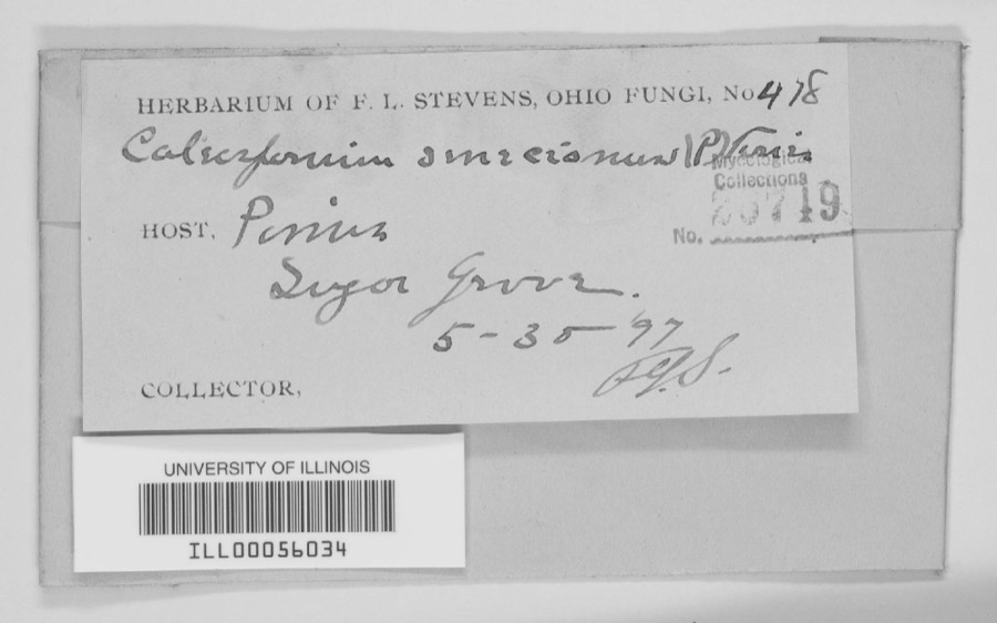
Specimen of 1897unnamedSugar Grove.F. L. StevensILL ILL00056034

The townships, in 1880

532,292 words

The History of Miami County, Ohio devotes a chapter to each township: its boundaries and streams, who settled it and when, the mills, the schools and the churches. All 13 are reproduced here in full. Each row shows the township's own shape and where it lies in the county, drawn from the Census Bureau's boundary. Which settlements belong to which township is computed from that same boundary, not taken from the book.

Shape and position in the county TownshipSettlements in it LengthSections
Bethel TownshipBabbtown, Brandt, Brown, Phoneton, West Charleston26,185 words12
Brown TownshipConover, Fletcher, Lena75,880 words10
Concord TownshipArbar Acres, Broad Acres, Brook Park North, Brookside, Carriage Crossing, Cloverdale, Cobblestone Pointe, Conwood Estates, Culbertson Heights, Diltz Corners, Edgehill, Edgewater, Eldean, Fairfield, Fox Harbor, Hawk Cove, Hawks Nest, Heritage Hill, Hilltop Manor, Hunters Run, Hylands, Kensington, Kings Chapel, Laurel Creek, Meadowlawn, Meadowrun, Northbrook, Nottingham, Nottinghill, Oakmont Creek, Pamela Estates, Park Place, Pleasant View, Premwood, Ridgewood, Ridgewood Colony, Sherwood Manor, Southbrook, Southview Estates, Stanfield Place, Stonebridge, Stonebridge Meadows, Stony Ridge, Troy, Westbrook, Westhaven, Westlake Village, Westridge, Willowcreek, Willowpoint, Windridge Place, Woodlawn64,480 words16
Elizabeth TownshipAlcony, Grayson, Haven View31,769 words12
Lostcreek TownshipCasstown, Sodom690 words2
Monroe TownshipCowlesville, Evanston, Frederick, Ginghamsburg, Tipp City78,966 words29
Newberry TownshipAbe, Bloomer, Bradford, Clayton, Covington, Meyers, Mulberry Grove, Polo, Summitville, West Covington41,096 words11
Newton TownshipCircle Hill, Ellemans, Pattytown, Pleasant Hill, Sugar Grove58,421 words5
Piqua CityFarrington, Landin Park, Piqua, Whitackers Court306 words2
Springcreek TownshipRossville, Twin Lakes754 words0
Staunton TownshipHalifax, Hunters Ridge, Maplecrest, Midway, Northfield, Staunton29,341 words24
Union TownshipFive Points, Garland, Kessler, Laura, Ludlow Falls, Nashville, Pigeye, Pinebrook Estates, Potsdam, West Milton74,276 words13
Washington TownshipJimtown50,128 words9

Every populated place in the county

110

Named settlements recorded in the Geographic Names Information System, each with the topographic sheets covering it. Villages, hamlets and abandoned places alike. Each is shown with the watercourse or landform it stands on and the survey quadrangle it falls on. The 5 places that were also surveyed for fire insurance come first, with the number of atlases and photographs held for them.

Recorded here

Covington, Ohio

13 topographic sheets and 8 fire insurance atlases, 1887 to 1946

Piqua, Ohio

16 topographic sheets and 8 fire insurance atlases, 1887 to 1949

Troy, Ohio

17 topographic sheets and 8 fire insurance atlases, 1887 to 1947

Tipp City, Ohio

14 topographic sheets and 7 fire insurance atlases, 1885 to 1948

West Milton, Ohio

12 topographic sheets and 5 fire insurance atlases, 1905 to 1951

Everything this county holds

The complete index, with nothing left out. Each of these is a separate record with its own page: a federal survey report, or the case file that argued a property on to the National Register. Both are public domain and reproduced word for word.

Surveyed structures

8 structures

Nomination case files

35 case files

The vanished settlements of Miami County, the places these records name that are no longer on the map.

Provenance

  • Topographic sheets. USGS Historical Topographic Map Collection, county index, measured from the bulk metadata.
  • Fire insurance maps. Library of Congress Sanborn collection, faceted to this county.
  • Photographs. Each place queried individually against the Library of Congress Prints and Photographs search.
  • Wildfire. Short, Karen C. 2022. Spatial wildfire occurrence data for the United States, 1992-2020 [FPA_FOD_20221014]. 6th Edition. Fort Collins, CO: Forest Service Research Data Archive. https://doi.org/10.2737/RDS-2013-0009.6 Collected with United States Government funding and usable without additional permissions or fees.
  • Specimens. Global Biodiversity Information Facility (GBIF), https://www.gbif.org/. Only records licensed CC0 or CC BY are used. Records licensed CC BY-NC are excluded because this site carries advertising. Images are checked individually and any whose licence is non-commercial, no-derivatives or unreadable is refused.
  • Mines and quarries. USGS Mineral Resources Data System (MRDS) https://mrdata.usgs.gov/mrds/ A work of the United States government, no copyright under 17 U.S.C. 105.
  • Storms. NOAA National Centers for Environmental Information, Storm Events Database https://www.ncei.noaa.gov/stormevents/ A work of the United States government, no copyright under 17 U.S.C. 105. Narratives are quoted verbatim from the National Weather Service report and are not edited or summarised.