 Block
Block
Flushing, Ohio
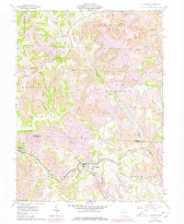
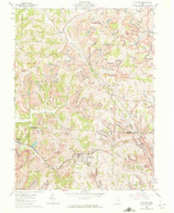
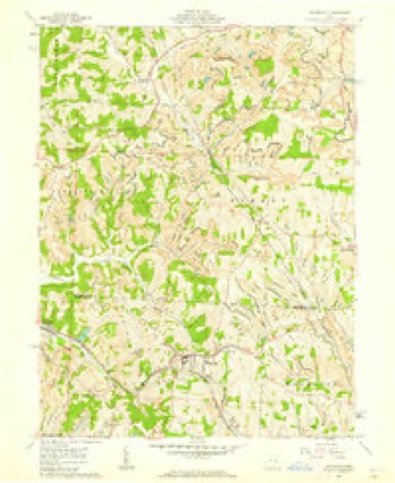
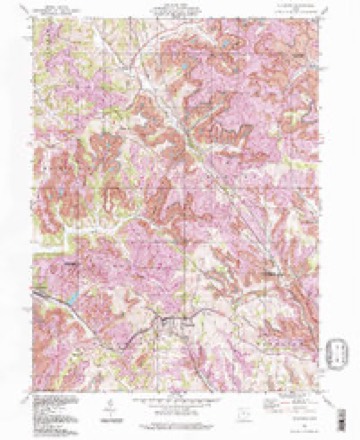
13 topographic sheets cover this place, the earliest surveyed in 1903 and the latest in 1994. It stands in Flushing Township. It lies in ZIP code area 43977. The Survey maps it on the Flushing quadrangle. 830 people lived here at the 2020 count. It stands 1,283 feet above sea level.
Population over time
2 figuresFlushing fell from 879 to 830 between 2010 and 2020. These are the recorded population figures Wikidata holds for this place, reached through the Geographic Names Information System number this page is keyed on rather than by name, so they belong to this place and not to another of the same name. Most are census counts, but not all are: an early figure may be a founding or settlement estimate. The change column is computed, and is left blank where more than 20 years separate a figure from the one before it, because a gap that long is not a change between two counts.
| Year | People | Change |
|---|---|---|
| 2010 | 879 | |
| 2020 | 830 | -49 (-6%) |
Then and now
1903 to 1994The same ground, surveyed 91 years apart. Drag the handle to wipe between them. Both sheets are United States Geological Survey originals; neither has been altered.
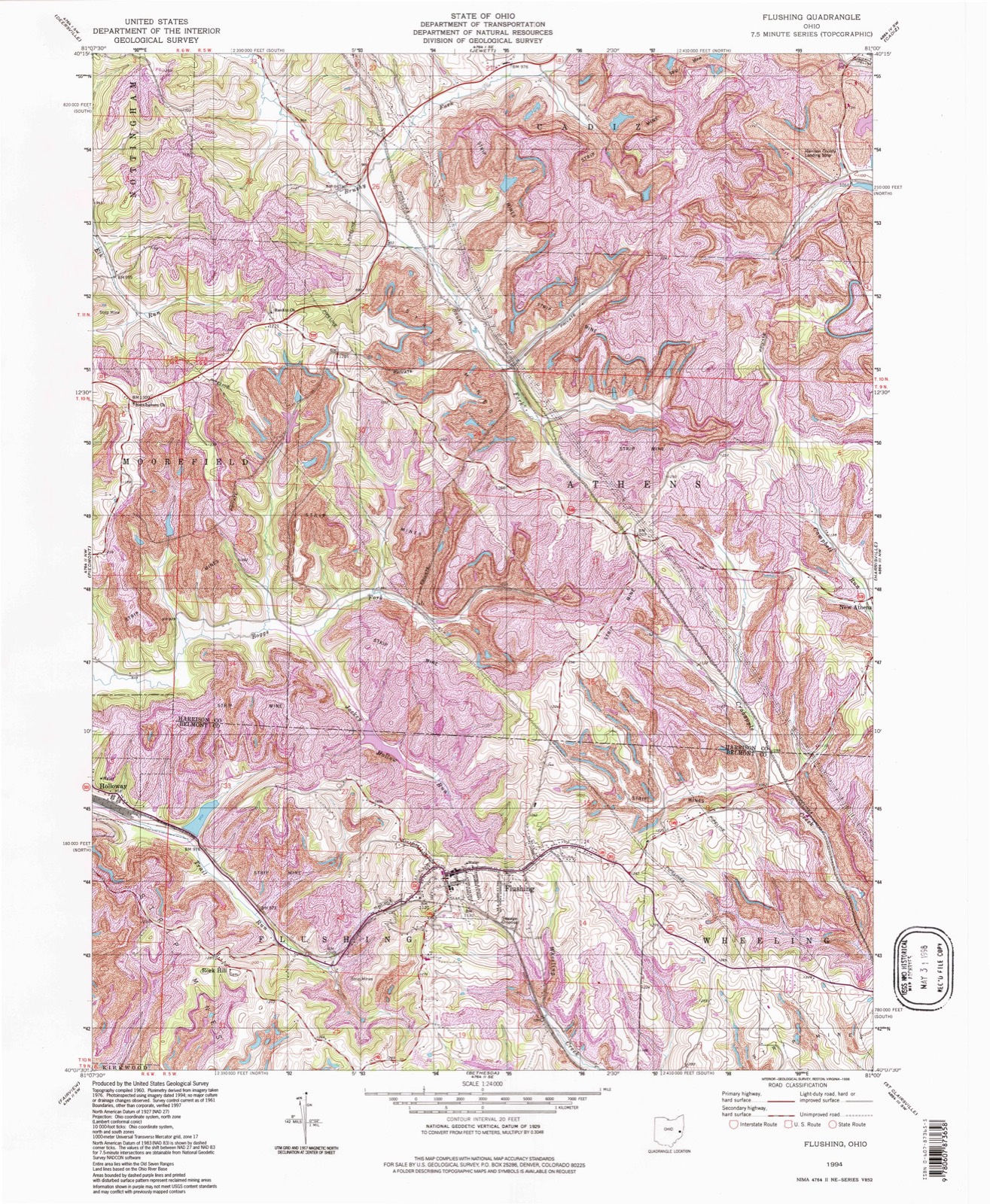
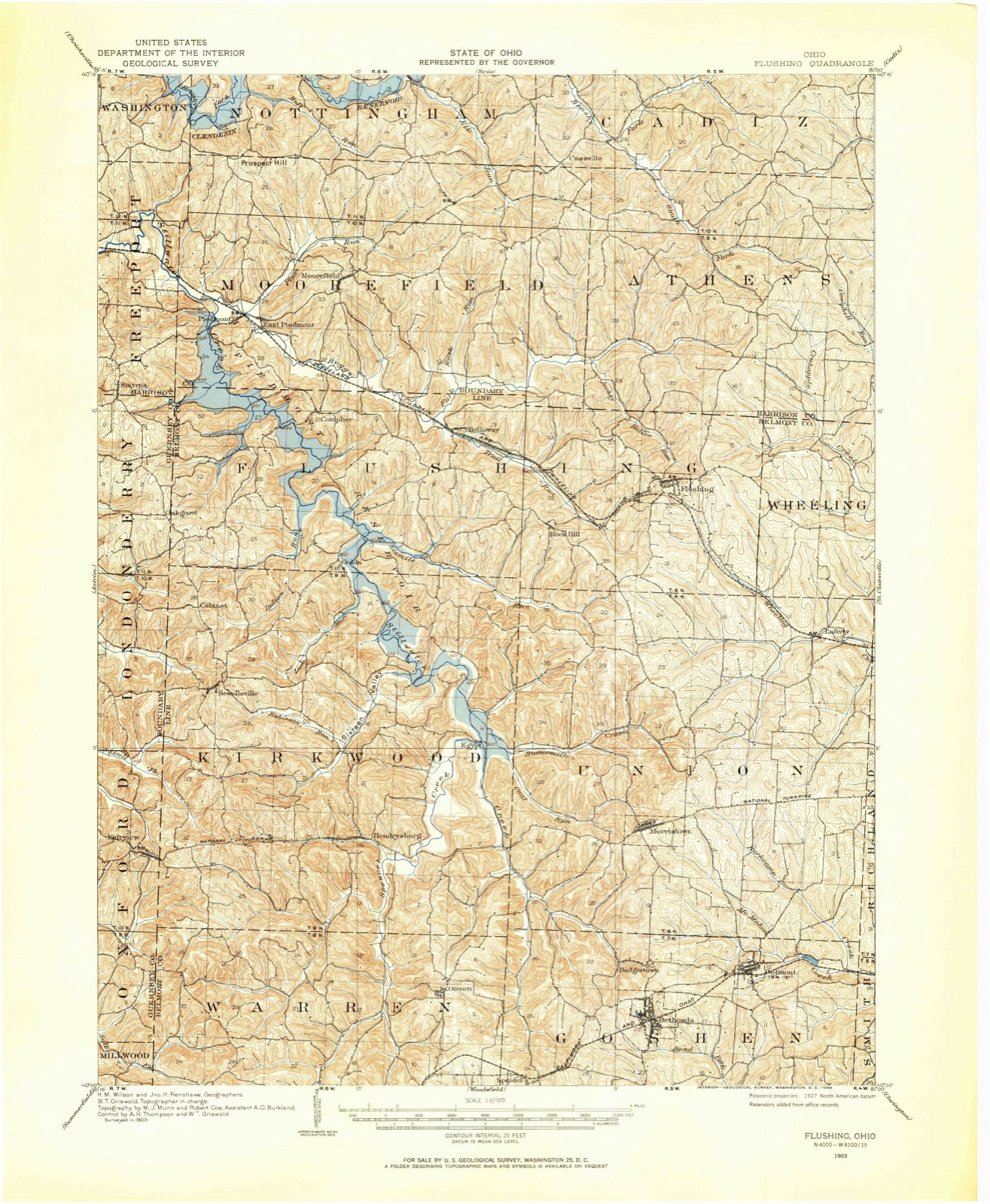
Compare 1903 against another survey:
Topographic sheets covering this place
13 sheetsMatched by testing this settlement's coordinate against the published boundary of every sheet in the United States Geological Survey's historical collection. Each opens the scanned sheet at the Survey.
- 1903 USGS Flushing quadrangle1:62500
- 1905 USGS Flushing quadrangle1:62500
- 1951 USGS Canton quadrangle1:250000
- 1953 USGS Canton quadrangle1:250000
- 1957 USGS Canton quadrangle1:250000
- 1957 USGS Canton quadrangle1:250000
- 1957 USGS Canton quadrangle1:250000
- 1961 USGS Flushing quadrangle1:24000
- 1961 USGS Flushing quadrangle1:24000
- 1961 USGS Flushing quadrangle1:24000
- 1962 USGS Canton quadrangle1:250000
- 1962 USGS Canton quadrangle1:250000
- 1994 USGS Flushing quadrangle1:24000







In the county-history sources
5,223 words on this townshipCentennial History of Belmont County, Ohio, and Representative Citizens., published 1903 names this settlement in its chapter on Flushing Township. These are the passages that mention it, exactly as the scans read.
Flushing township borders upon Harrison County on the north and Guernsey County on the west. It contains 30 sections of land, is 10 miles in length and three miles in width. The soil for the most part is strong limestone and very fertile to the highest summits. The topogra])hy of the country is hilly, reaching an elevation of 1,329 feet above the sea level; nevertheless, the fields upon the topmost hills are crowned with abundant crops. Fruit and grain growing and sheep husbandry are successfully carried on by the farmers of this township, who are for the most part intelligent and well-to-do men, who reside in homes of comfort and plenty.
Passage source: Centennial History of Belmont County, Ohio, and Representative Citizens., published 1903.
The population of Flushing township in 1900 is 2,141, a gain of 451 over the census of 1890. This gain is largely due to the entrance of miners into the township for the operation of the extensive coal mines. Since the opening of the Cleveland, Lorain & Wheeling Railway, these mines have been operated for commercial purposes.
Passage source: Centennial History of Belmont County, Ohio, and Representative Citizens., published 1903.
Among the early settlers of Flushing township were George Brokaw, Sr., Darling Conrow, James Bethel. Elihu and Levi Hollingsworth, Isaac and Jacob Holloway, Asa and . David Branson, Jonathan Cash, Isaac Kirk, Levi Starkey, Stephen Hobson and Elisha Ellis. The children and grandchildren of these hardy pioneers have contributed largely to the growth and prosperity of the township, and their names are still conspicuous among the honored and influential citizens of the county.
Passage source: Centennial History of Belmont County, Ohio, and Representative Citizens., published 1903.
Machine-read from a century-old scan, so expect the errors a machine makes: misspelled names, dropped words, stray characters.
Read the whole chapter on Flushing Township - it names this place 16 more 16 times.
Fires near this place
10 since 2003Regional context, not property-specific evidence. The federal wildfire occurrence database lists 10 fires within 5 miles of Flushing between 2003 and 2020, burning about 29 acres in total. None started naturally. None was recorded as arson. Distance is straight-line from the map coordinates, so a fire counted here may appear on a neighbouring settlement's page as well.
| Reported cause | Fires |
|---|---|
| Debris and open burning | 8 |
| Missing data/not specified/undetermined | 2 |
The most recent of them, most recent first, with the day each was reported and the service that recorded it.
| Date | Cause | Size | Reported by | Name on the report |
|---|---|---|---|---|
| 24 August 2020 | Debris and open burning | 5.0 acres | Ohio Department of Natural Resources | 15821 |
| 20 August 2019 | Debris and open burning | under an acre | Ohio Department of Natural Resources | 15232 |
| 31 May 2015 | Debris and open burning | under an acre | Ohio Department of Natural Resources | 1501 |
| 29 March 2004 | Debris and open burning | under an acre | Ohio Department of Natural Resources | not named |
| 28 March 2003 | Debris and open burning | under an acre | Ohio Department of Natural Resources | not named |
| 27 March 2019 | Missing data/not specified/undetermined | 1.0 acres | Ohio Department of Natural Resources | 15096 |
| 25 March 2003 | Debris and open burning | under an acre | Ohio Department of Natural Resources | not named |
| 24 March 2017 | Debris and open burning | under an acre | Ohio Department of Natural Resources | 8053 |
Settlements close enough to share some of these fires:
Specimens collected near this place
12 of 119 shownRegional context, not property-specific evidence. Museums hold 119 specimens collected within 10 miles of Flushing between 1878 and 1974: 74 Animalia, 44 Plantae, 1 Fungi. 12 distinct Species records are shown. Collected by A. Goff, Buker, W.E., Buker, W.E.; Henry, L.K. and others. Each is a physical object with a catalogue number, and each entry opens the museum's record. This is what was collected and kept, not a survey of what lives here - nothing can be concluded from a species being absent.
| Image | Species | Year | Collected by | Where, as recorded |
|---|---|---|---|---|
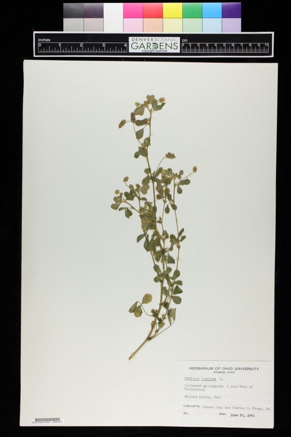 | Medicago lupulina L. | 1961 | Robert Gray; Charles O. Wingo Jr. | 1 mile west of Hendrysburg. |
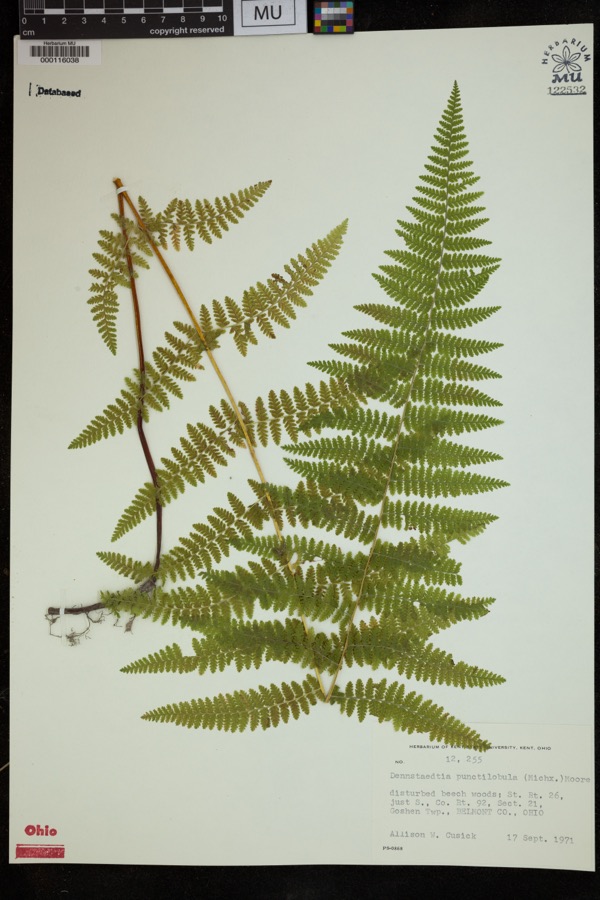 | Dennstaedtia punctilobula (Michx.) T.Moore | 1971 | Cusick, A.W. | disturbed beech woods; St. Rt. 26, just S., Co. Rt. 92, Sect 21, Goshen Twp. |
 | Fragaria americana (Porter) Britton | 1878 | Guttenberg, G. | St. Clairsville |
 | Fragaria virginiana Mill. | 1878 | Guttenberg, G. | St. Clairsville |
 | Rubus odoratus L. | 1878 | Guttenberg, G. | S of Clairsville |
 | Dumetella carolinensis (Linnaeus, 1766) | 1884 | Jones, J. (Jesse) | Belmont, Ohio, USA |
 | Hylocichla mustelina (Gmelin, 1789) | 1885 | Jones, J. (Jesse) | West Wheeling, Belmont, Ohio, USA |
 | Quiscalus quiscula versicolor Vieillot, 1819 | 1885 | Jones, J. (Jesse) | Martin's Ferry, Belmont, Ohio, USA |
 | Turdus migratorius Linnaeus, 1766 | 1885 | Jones, J. (Jesse) | Martin's Ferry, Belmont, Ohio, USA |
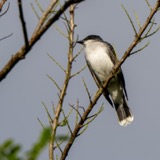 | Tyrannus tyrannus (Linnaeus, 1758) | 1885 | Jones, J. | Martin's Ferry, Belmont, Ohio, USA |
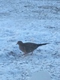 | Zenaida macroura (Linnaeus, 1758) | 1885 | Jones, J. (Jesse) | Martin's Ferry, Belmont, Ohio, USA |
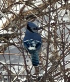 | Cyanocitta cristata (Linnaeus, 1758) | 1891 | Pogue, G. M. (George Marion) | Belmont, Ohio, USA |
All 119 specimens within 10 miles, at the Global Biodiversity Information Facility.
Storms near this place
9 since 1995Regional context, not property-specific evidence. The National Weather Service names Flushing in 9 storm reports between 1995 and 2022: 8 thunderstorm wind, 1 hail. No death or injury is recorded in these reports. Each account below is quoted exactly as the forecast office filed it, from the NOAA Storm Events Database, and each date opens the federal record of that event.
| When | Event | Place named | Harm | What the report says |
|---|---|---|---|---|
| June 2010 | Thunderstorm Wind | Flushing | $50,000 | Emergency management reported trees and power lines down in Flushing. |
| July 2019 | Thunderstorm Wind | Flushing | $10,000 | A local media channel reported a tree blown into a home, with only minor damage observed. |
| July 2011 | Thunderstorm Wind | Flushing | $5,000 | Law enforcement reports of multiple trees down in Flushing. |
| April 2006 | Thunderstorm Wind | Flushing | $5,000 | Trees down along SR 149. |
| November 2002 | Thunderstorm Wind | Flushing | $2,000 | Tree blown down, across route 149. |
| July 1995 | Thunderstorm Wind | Flushing | $2,000 | Trees and power lines were downed by thunderstorm winds along Route 331 near Flushing. |
| May 1997 | Thunderstorm Wind | Flushing | $1,000 | Large branches were downed by thunderstorm winds. |
| June 2022 | Thunderstorm Wind | Flushing | - | Numerous trees reported down. |
| August 2020 | Hail | Flushing | - | no account filed |
Nearest settlements
The eight closest, with where each one stands in the county. Distances are straight-line, computed from the Geographic Names Information System coordinates.
| Map | Place | Distance | Sheets |
|---|---|---|---|
| Kennon (historical) | 2.1 miles | 13 | |
| Rock Hill | 2.2 miles | 13 | |
| Lafferty | 3.6 miles | 12 | |
| Holloway | 3.6 miles | 14 | |
| Uniontown | 4.2 miles | 17 | |
| Oco | 4.6 miles | 17 | |
| Donnersville | 4.9 miles | 17 | |
| Egypt | 5.5 miles | 13 |
Elsewhere
Matched on this settlement's Geographic Names Information System number rather than its name, so it cannot be a different place of the same name in another state.
| Wikipedia article on Flushing | An encyclopaedic summary. Its text is share-alike, so it is linked here rather than copied. |
| Wikidata item Q2326406 | The structured record the population and elevation above come from. Public domain (CC0). |
Provenance
This settlement is recorded in the Geographic Names Information System as feature 1064661. The sheet list is computed by point-in-boundary test against the United States Geological Survey's historical topographic inventory. Both are works of the United States government and carry no copyright under 17 U.S.C. 105.
Wildfire. Short, Karen C. 2022. Spatial wildfire occurrence data for the United States, 1992-2020 [FPA_FOD_20221014]. 6th Edition. Fort Collins, CO: Forest Service Research Data Archive. https://doi.org/10.2737/RDS-2013-0009.6 Collected with United States Government funding and usable without additional permissions or fees.
Specimens. Global Biodiversity Information Facility (GBIF), https://www.gbif.org/. Only records licensed CC0 or CC BY are used. Records licensed CC BY-NC are excluded because this site carries advertising. Images are checked individually and any whose licence is non-commercial, no-derivatives or unreadable is refused.
Storms. NOAA National Centers for Environmental Information, Storm Events Database https://www.ncei.noaa.gov/stormevents/ A work of the United States government, no copyright under 17 U.S.C. 105. Narratives are quoted verbatim from the National Weather Service report and are not edited or summarised.