 Block
Block
Fort Recovery, Ohio
14 topographic sheets cover this place, the earliest surveyed in 1915 and the latest in 1986. It stands in Gibson Township. It lies in ZIP code area 45846. It stands on Fort Creek. The Survey maps it on the Fort Recovery quadrangle. 1,501 people lived here at the 2020 count. It stands 942 feet above sea level.
Population over time
2 figuresFort Recovery grew from 1,430 to 1,501 between 2010 and 2020. These are the recorded population figures Wikidata holds for this place, reached through the Geographic Names Information System number this page is keyed on rather than by name, so they belong to this place and not to another of the same name. Most are census counts, but not all are: an early figure may be a founding or settlement estimate. The change column is computed, and is left blank where more than 20 years separate a figure from the one before it, because a gap that long is not a change between two counts.
| Year | People | Change |
|---|---|---|
| 2010 | 1,430 | |
| 2020 | 1,501 | +71 (+5%) |
Then and now
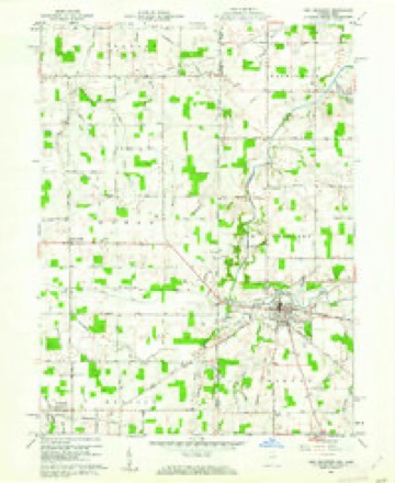
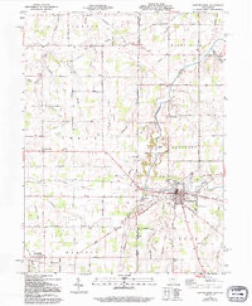
1915 to 1986The same ground, surveyed 71 years apart. Drag the handle to wipe between them. Both sheets are United States Geological Survey originals; neither has been altered.

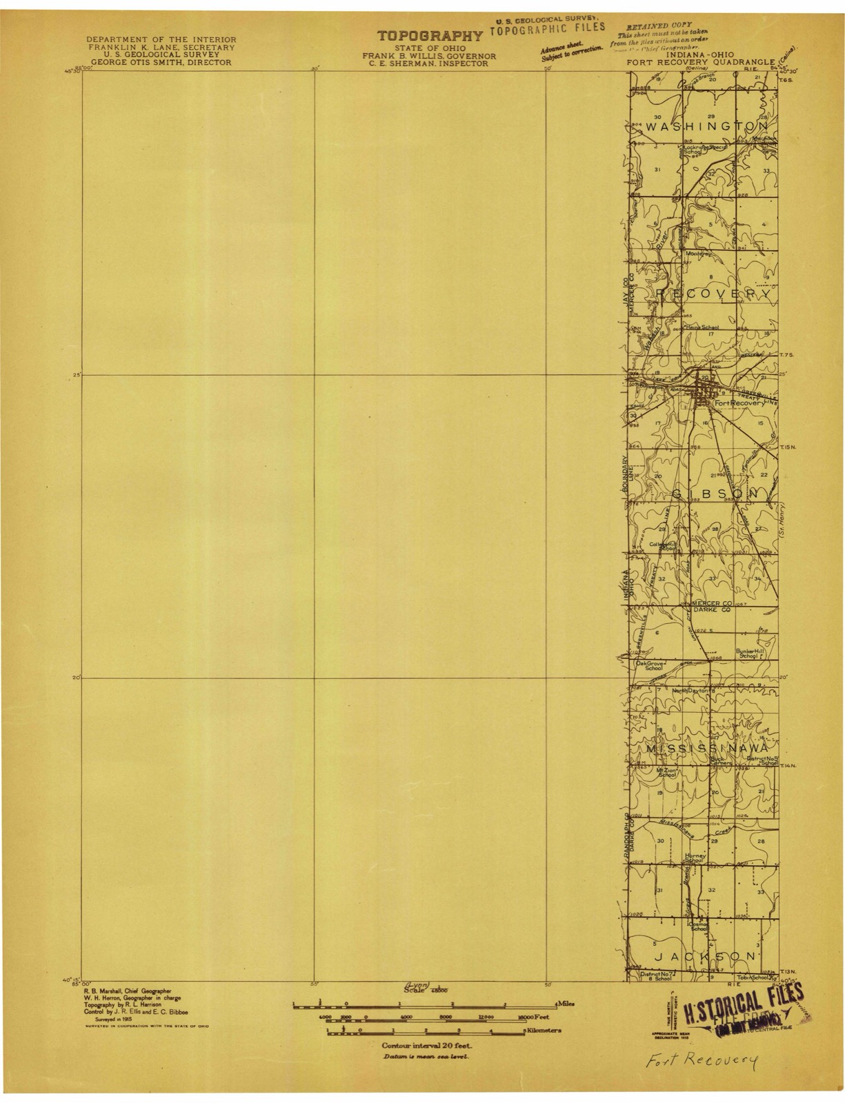
Topographic sheets covering this place
14 sheetsMatched by testing this settlement's coordinate against the published boundary of every sheet in the United States Geological Survey's historical collection. Each opens the scanned sheet at the Survey.
- 1915 USGS Fort Recovery quadrangle1:48000
- 1915 USGS Fort Recovery quadrangle1:62500
- 1918 USGS Fort Recovery quadrangle1:62500
- 1953 USGS Muncie quadrangle1:250000
- 1953 USGS Muncie quadrangle1:250000
- 1953 USGS Muncie quadrangle1:250000
- 1953 USGS Muncie quadrangle1:250000
- 1953 USGS Muncie quadrangle1:250000
- 1956 USGS Muncie quadrangle1:250000
- 1960 USGS Fort Recovery quadrangle1:24000
- 1960 USGS Fort Recovery quadrangle1:24000
- 1986 USGS Piqua quadrangle1:100000
- 1986 USGS Piqua quadrangle1:100000
- 1986 USGS Piqua quadrangle1:100000









In the county-history sources
8,829 words on this townshipHistory of Mercer County, Ohio, and Representative Citizens, published 1907 names this settlement in its chapter on Gibson Township. These are the passages that mention it, exactly as the scans read.
The southern and western part of Gibson township was largely settled by people from Southern Ohio and Pennsylvania, who originally came from Virginia and North and South Carollina, although a few came from Delaware. Among the early settlers in this section were the families of James -Cummins, Henry Denney, Benjamin Clark and William F. Denney, who came from Gallia County, Ohio ; the Clarks, who came from England ; Wateman Hastings and Solomon Collins, who came from the State of Delaware ; and Robert Hunter, James Alexander and David Hays who came from Fairfield County, Ohio - all of these settled in Gibson township about the same time. Nathan S. Scranton settled on a farm in Gibson township in 1849; the Scranton family, who were originally from the State of Connecticut, came to Mercer County from Medina County, Ohio. Near the town of Fort Recovery and north of the first neighborhood, Robert Travis, Edward Jones, Sylvester Schutt, Jacob Schaffer, Jacob Stuber and Joseph Clark and their families settled. In the eastern part of the township, around Sharpsburg, Aaron Rood and wife and' his sons, L. B. Rood and Alpha Rood, who were Yankees in every sense of the word; the Jones and Hall families and the families of Thomas Rockwell, Jacob and George Meyers and William Snyder - all of whom came from Butler County, Ohio - settled at an early date. In the same section of the township also settled John L. Fox, David Johnson, John Hedrick and Abraham Mott, Sr. - Abraham and James Z. Mott, sons of the lastnamed pioneer, still live in the township. The Lowry family came in at a later date and its representatives are still living in the township. Samuel Briner, Samuel Keller, David F. Blake (who went to Missouri in 1857), George Sigler, M. W. Diggs and George Painter were early settlers in the southern part of the township. Other early settlers were James Watkins, Daniel Broclc and John McDaniel.
Passage source: History of Mercer County, Ohio, and Representative Citizens, published 1907.
It seems to be a settled fact that the older the country, the fewer the .country schools. This is true in Gibson township to-day: The schools out- side of the town of Fort Recovery are not as large as they were 35 years ago, when the writer had a very personal knowledge of them. Then there were six district schools, maintained on an average of eight or nine months in the year, and each one of these schools had an average attendance of not less than 50 pupils, and at least three had from 75 to 100 pupils each. At the present time it takes three of these same school districts combined to maintain oneschool, and this one with only about 30 pupils in attendance. The Board of Education think it both cheaper and better to hire a man to haul the pupils back and forth from their own district to a school in some other district than to hire teachers for each school district. Special school districts have been created that take the place of sub-districts.
Passage source: History of Mercer County, Ohio, and Representative Citizens, published 1907.
Pisgah Congregational Church at Fort Recovery was organized as a Presbyterian Church in 1851 by I. N. Taylor (founder of Liber College) and his father. Judge Taylor, of Fort Wayne, Indiana. It was reorganized in 1854 as Pisgah Congregational Church, which name it has since retained. The original society consisted of eight members, viz. : David Hays, Catherine Hays, Nancy Collins, Wateman Hastings, Eleanor Hastings, Samuel Briner, Elizabeth Grissom and Betsey Guy. The church has a present membership of 1 18 and an average Sunday-school attendance of 60. The church building was erected in 1883 at a cost of $4,000. The following pastors have served since the reorganization of the church in 1854: Rev. John Brice, from 1854 ganized August 8, 1869, by 14 voting members, only one of whom, Philip Augenstein, of Fort Recovery, is still among the living. The first church structure, 30 by 40 feet in dimensions, erected in 1870, finally becoming too small for the growing congregation, the present brick church was erected in 1903 at a cost of $12,000. The parsonage, also a brick building, cost $4,000. Up to about 1895 the services were conducted exclusively in German but now English is used every other Sunday. The congregation at the present time has 68 voting members, 180 communicants and about 275 souls. The Sunday-school, which is conducted in English, has 120 scholars. The following pastors have served Trinity congregation : Revs. H. Kreuter, 1869-71; Carl Benzin, 1871-78; F. W. Franke, 1878-81; A. J. Feeger, 1881-86; George Wolf, 1887-90; A. A. Dapper, 1890-1900; W. F. Benzin, 1900-04; and William Emch, who has served since 1904.
Passage source: History of Mercer County, Ohio, and Representative Citizens, published 1907.
Machine-read from a century-old scan, so expect the errors a machine makes: misspelled names, dropped words, stray characters.
Read the whole chapter on Gibson Township - it names this place 25 more 25 times.
Photographs
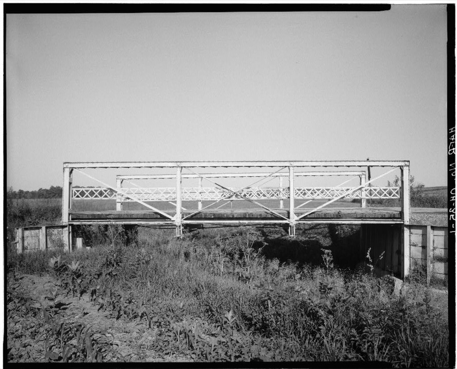
1 photograph,Taken for the Office of War Information and the Farm Security Administration, who photographed the country between 1935 and 1944. Works of United States government photographers, with no known restriction on use. Each opens its catalogue record.
Unattributed, . Library of Congress
Specimens collected near this place
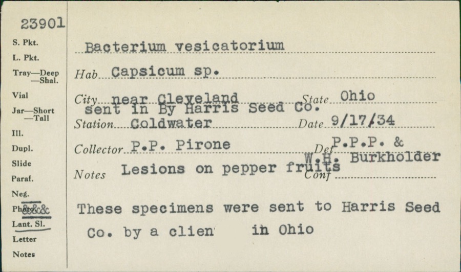
12 of 138 shownRegional context, not property-specific evidence. Museums hold 138 specimens collected within 10 miles of Fort Recovery between 1888 and 1962: 113 Animalia, 24 Fungi, 1 Unrecorded. 12 distinct Species records are shown. Collected by A. D. Selby, C. Clark, C. Clark & R. Rhoades and others. Each is a physical object with a catalogue number, and each entry opens the museum's record. This is what was collected and kept, not a survey of what lives here - nothing can be concluded from a species being absent.
| Image | Species | Year | Collected by | Where, as recorded |
|---|---|---|---|---|
 | unnamed | 1934 | P. P. Pirone | Coldwater |
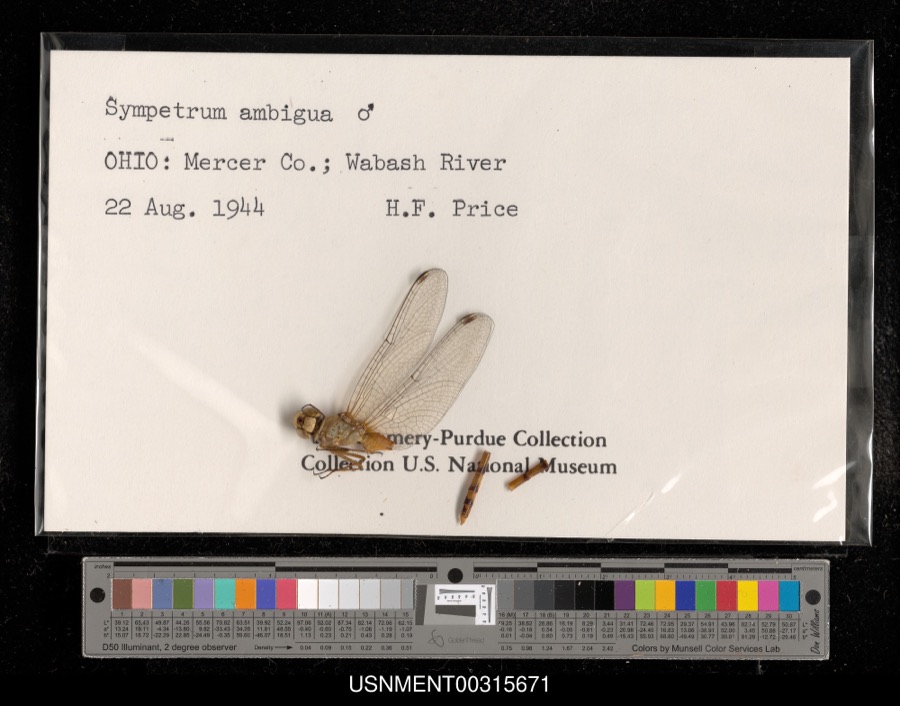 | Sympetrum ambiguum (Rambur, 1842) | 1944 | H. Price | Wabash River |
 | Piranga olivacea (J.F.Gmelin, 1789) | 1888 | J. R. Slonaker | Fort Recovery |
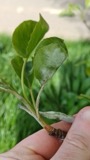 | Podosphaera leucotricha (Ellis & Everh.) E.S.Salmon | 1906 | Selby A. D. | Sharpsburg |
 | Colletotrichum cereale Manns | 1908 | Selby A. D. | Sharpsburg |
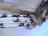 | Colletotrichum graminicola (Ces.) G.W.Wilson | 1908 | Selby A. D. | Sharpsburg |
| Glomerella graminicola D.J.Politis | 1908 | A. D. Selby | Sharpsburg. | |
 | Didelphis virginiana virginiana Kerr, 1792 | 1911 | L. L. Walters | Ft Recovery, 4 mi SE |
 | Alasmidonta viridis (Rafinesque, 1820) | 1913 | Goodrich, Calvin | Monterey |
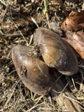 | Pyganodon grandis (Say, 1829) | 1913 | Goodrich, Calvin | Fort Recovery(3 mi E) |
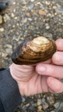 | Strophitus undulatus (Say, 1817) | 1913 | Goodrich, Calvin | St Henry |
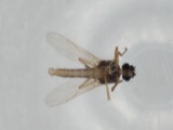 | Atrichopogon levis (Coquillett, 1901) | 1926 | not recorded | Fort Laramie |
All 138 specimens within 10 miles, at the Global Biodiversity Information Facility.
Nearest settlements
The eight closest, with where each one stands in the county. Distances are straight-line, computed from the Geographic Names Information System coordinates.
| Map | Place | Distance | Sheets |
|---|---|---|---|
| Saint Joseph | 2.2 miles | 12 | |
| Monterey | 2.6 miles | 14 | |
| Saint Peter | 3.0 miles | 12 | |
| Wendelin | 4.7 miles | 12 | |
| Sharpsburg | 4.7 miles | 12 | |
| Macedon | 4.8 miles | 14 | |
| Padua | 6.6 miles | 13 | |
| Philothea | 7.0 miles | 12 |
Elsewhere
Matched on this settlement's Geographic Names Information System number rather than its name, so it cannot be a different place of the same name in another state.
| Wikipedia article on Fort Recovery | An encyclopaedic summary. Its text is share-alike, so it is linked here rather than copied. |
| Wikidata item Q1861739 | The structured record the population and elevation above come from. Public domain (CC0). |
Provenance
This settlement is recorded in the Geographic Names Information System as feature 1040590. The sheet list is computed by point-in-boundary test against the United States Geological Survey's historical topographic inventory. Both are works of the United States government and carry no copyright under 17 U.S.C. 105.
Specimens. Global Biodiversity Information Facility (GBIF), https://www.gbif.org/. Only records licensed CC0 or CC BY are used. Records licensed CC BY-NC are excluded because this site carries advertising. Images are checked individually and any whose licence is non-commercial, no-derivatives or unreadable is refused.