 Block
Block
Padua, Ohio
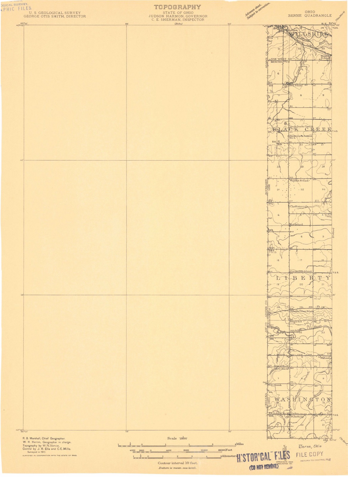
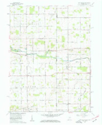
13 topographic sheets cover this place, the earliest surveyed in 1911 and the latest in 1986. It stands in Washington Township. It lies in ZIP code area 45846. The Survey maps it on the New Corydon quadrangle.
Then and now
1911 to 1986The same ground, surveyed 75 years apart. Drag the handle to wipe between them. Both sheets are United States Geological Survey originals; neither has been altered.

Topographic sheets covering this place
13 sheetsMatched by testing this settlement's coordinate against the published boundary of every sheet in the United States Geological Survey's historical collection. Each opens the scanned sheet at the Survey.
- 1911 USGS Berne quadrangle1:48000
- 1953 USGS Muncie quadrangle1:250000
- 1953 USGS Muncie quadrangle1:250000
- 1953 USGS Muncie quadrangle1:250000
- 1953 USGS Muncie quadrangle1:250000
- 1953 USGS Muncie quadrangle1:250000
- 1956 USGS Muncie quadrangle1:250000
- 1960 USGS New Corydon quadrangle1:24000
- 1960 USGS New Corydon quadrangle1:24000
- 1960 USGS New Corydon quadrangle1:24000
- 1986 USGS Lima quadrangle1:100000
- 1986 USGS Lima quadrangle1:100000
- 1986 USGS Lima quadrangle1:100000









In the 1907 county history
2,346 words on this townshipThe county history of 1907 has no passage naming this settlement, which was common for the smaller places. Its township is covered in full.
The chapter on Washington Township covers the township.
Read the chapter on Washington Township - 2,346 words.
Specimens collected nearby
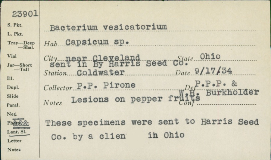
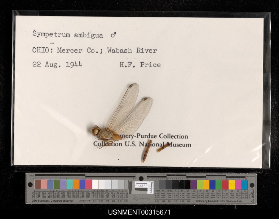
12 of 195 shownMuseums hold 195 specimens collected within 10 miles of Padua between 1840 and 1973: 193 Animalia, 1 Plantae, 1 Unrecorded. 12 distinct Species records are shown. Collected by Adler, K. K., C. Clark, C. Clark & R. Rhoades and others. Each is a physical object with a catalogue number, and each entry opens the museum's record. This is what was collected and kept, not a survey of what lives here - nothing can be concluded from a species being absent.
| Image | Species | Year | Collected by | Where, as recorded |
|---|---|---|---|---|
 | unnamed | 1934 | P. P. Pirone | Coldwater |
 | Sympetrum ambiguum (Rambur, 1842) | 1944 | H. Price | Wabash River |
 | Silene virginica L. | 1840 | J. Wolle, D. Blum | |
 | Piranga olivacea (J.F.Gmelin, 1789) | 1888 | J. R. Slonaker | Fort Recovery |
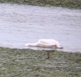 | Pelecanus erythrorhynchos Gmelin, 1789 | 1892 | Landis, H. A. | Lake St. Mary's, Mercer, Ohio, USA |
 | Telmatodytes palustris (A.Wilson, 1810) | 1909 | Henninger, W. F. (Walther Frederick) | Grand Reservoir, St. Mary's, Mercer, Ohio, USA |
 | Didelphis virginiana virginiana Kerr, 1792 | 1911 | L. L. Walters | Ft Recovery, 4 mi SE |
 | Alasmidonta viridis (Rafinesque, 1820) | 1913 | Goodrich, Calvin | Monterey |
 | Pyganodon grandis (Say, 1829) | 1913 | Goodrich, Calvin | Fort Recovery(3 mi E) |
 | Strophitus undulatus (Say, 1817) | 1913 | Goodrich, Calvin | St Henry |
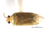 | Orthotylus ramus Knight, 1927 | 1918 | R. Hussey | [Not Stated] |
 | Perlesta lagoi Stark, 1989 | 1918 | not recorded |
All 195 specimens within 10 miles, at the Global Biodiversity Information Facility.
Storms nearby
4 since 2017The National Weather Service names Padua in 4 storm reports between 2017 and 2019: 3 thunderstorm wind, 1 tornado. No death or injury is recorded in these reports. Each account below is quoted exactly as the forecast office filed it, from the NOAA Storm Events Database, and each date opens the federal record of that event.
| When | Event | Place named | Harm | What the report says |
|---|---|---|---|---|
| November 2017 | Tornado (EF2) | Padua | $11,000,000 | This tornado developed in Delaware County, Indiana, near the town of Eaton and then moved across Blackford and Jay Counties in Indiana before crossing into Mercer County, Ohio at 1418EST near the intersection of St. Anthony Road and County Road 235 (see Storm data for Indiana, Central and Northeast, for more information on the beginning portion of this tornado in Indiana). The tornado traveled northeast in Mercer County for just more than 8 miles before terminating in a wooded area north of Carmel Church Road and west of Now Road. A few pieces of light debris were carried slightly further to the northeast, but the tornado is not believed to have been on the ground east of Now Road.||The vast majority of the surveyed path in Mercer County contained damage consistent with winds of 60 to 100 MPH, including scattered tree damage, significant damage or destruction of outbuildings, and minor damage to well-built homes. In all, 20 to 25 different properties were affected by this tornado in Mercer County.||Damage was determined to be most significant at two different locations along the track, with wind speeds estimated at 120 MPH, or EF2 on the Enhanced Fujita Scale. The first of these locations was a dairy farm on State Route 49 north of St. Anthony Road. At this location, a small home had its roof completely removed, with the removal and collapse of some exterior walls. It was noted that while some walls were collapsed, toe nailing was the primary anchoring mechanism for the roof and walls on this home. Barns and outbuildings on the property were significantly damaged or destroyed and debris from this location was deposited up to a mile downstream.||The second location exhibiting EF2-rated damage was at a property on Mud Pike Road just east of Township Line Road. Here, a well-built residence had the majority of its roof removed, including the entirety of the garage roof. Sections of brick facade were removed from the exterior walls of the home, with significant mud splatter on the east-facing exterior wall. A large well-constructed barn adjacent to this home was completely demolished, with debris thrown about a mile downstream of its source location.||Throughout its track across Mercer County, this tornado exhibited a large and relatively uniform width, with damage observed that indicated a width of near or slightly greater than three tenths of a mile. Some minor damage was even observed outside of this estimated width. Downstream of some of the affected properties, debris fields were observed to be long, wide, and relatively uniform. |
| August 2019 | Thunderstorm Wind | Padua | $10,000 | Damage was reported to a turkey barn and a house. |
| August 2019 | Thunderstorm Wind | Padua | $3,000 | Trees were knocked down. |
| May 2019 | Thunderstorm Wind | Padua | $1,000 | A power pole was downed on Wabash Road. |
Nearest settlements
The eight closest, with where each one stands in the county. Distances are straight-line, computed from the Geographic Names Information System coordinates.
| Map | Place | Distance | Sheets |
|---|---|---|---|
| Macedon | 2.6 miles | 14 | |
| Wabash | 3.1 miles | 13 | |
| Monterey | 4.0 miles | 14 | |
| Erastus | 4.0 miles | 13 | |
| Saint Peter | 4.5 miles | 12 | |
| Skeels Crossroads | 4.5 miles | 13 | |
| Scudder | 5.0 miles | 13 | |
| Durbin | 5.4 miles | 13 |
Elsewhere
Matched on this settlement's Geographic Names Information System number rather than its name, so it cannot be a different place of the same name in another state.
| Wikipedia article on Padua | An encyclopaedic summary. Its text is share-alike, so it is linked here rather than copied. |
| Wikidata item Q7123968 | The structured record the population and elevation above come from. Public domain (CC0). |
Provenance
This settlement is recorded in the Geographic Names Information System as feature 1058192. The sheet list is computed by point-in-boundary test against the United States Geological Survey's historical topographic inventory. Both are works of the United States government and carry no copyright under 17 U.S.C. 105.
Specimens. Global Biodiversity Information Facility (GBIF), https://www.gbif.org/. Only records licensed CC0 or CC BY are used. Records licensed CC BY-NC are excluded because this site carries advertising. Images are checked individually and any whose licence is non-commercial, no-derivatives or unreadable is refused.
Storms. NOAA National Centers for Environmental Information, Storm Events Database https://www.ncei.noaa.gov/stormevents/ A work of the United States government, no copyright under 17 U.S.C. 105. Narratives are quoted verbatim from the National Weather Service report and are not edited or summarised.