 Block
Frampton, Ohio
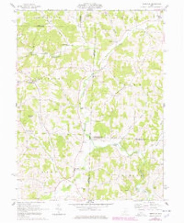
10 topographic sheets cover this place, the earliest surveyed in 1910 and the latest in 1966. It stands in Fallsbury Township. It lies in ZIP code area 43822. It stands on Anderson Run. The Survey maps it on the Perryton quadrangle.
Then and now
1910 to 1966The same ground, surveyed 56 years apart. Drag the handle to wipe between them. Both sheets are United States Geological Survey originals; neither has been altered.
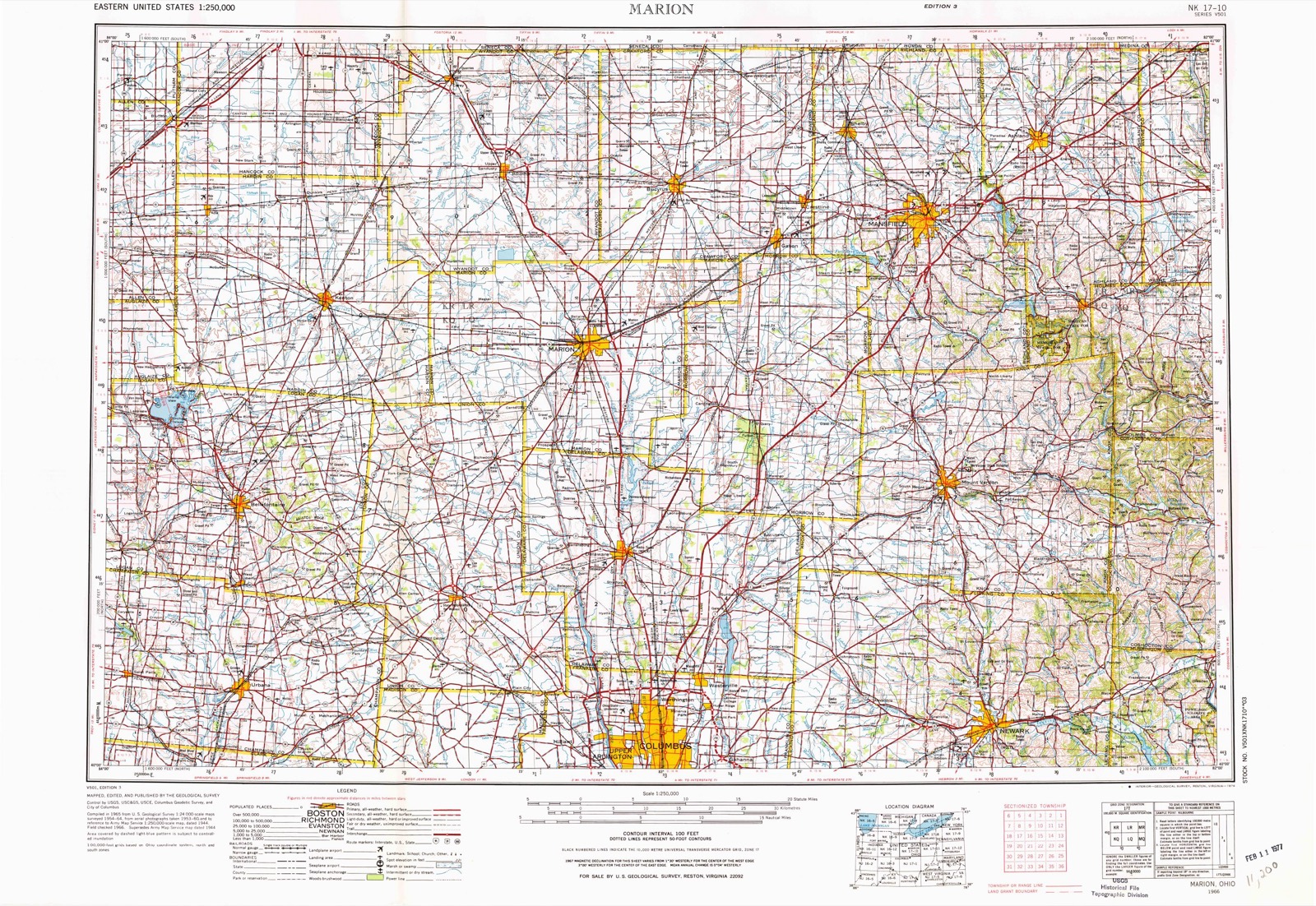
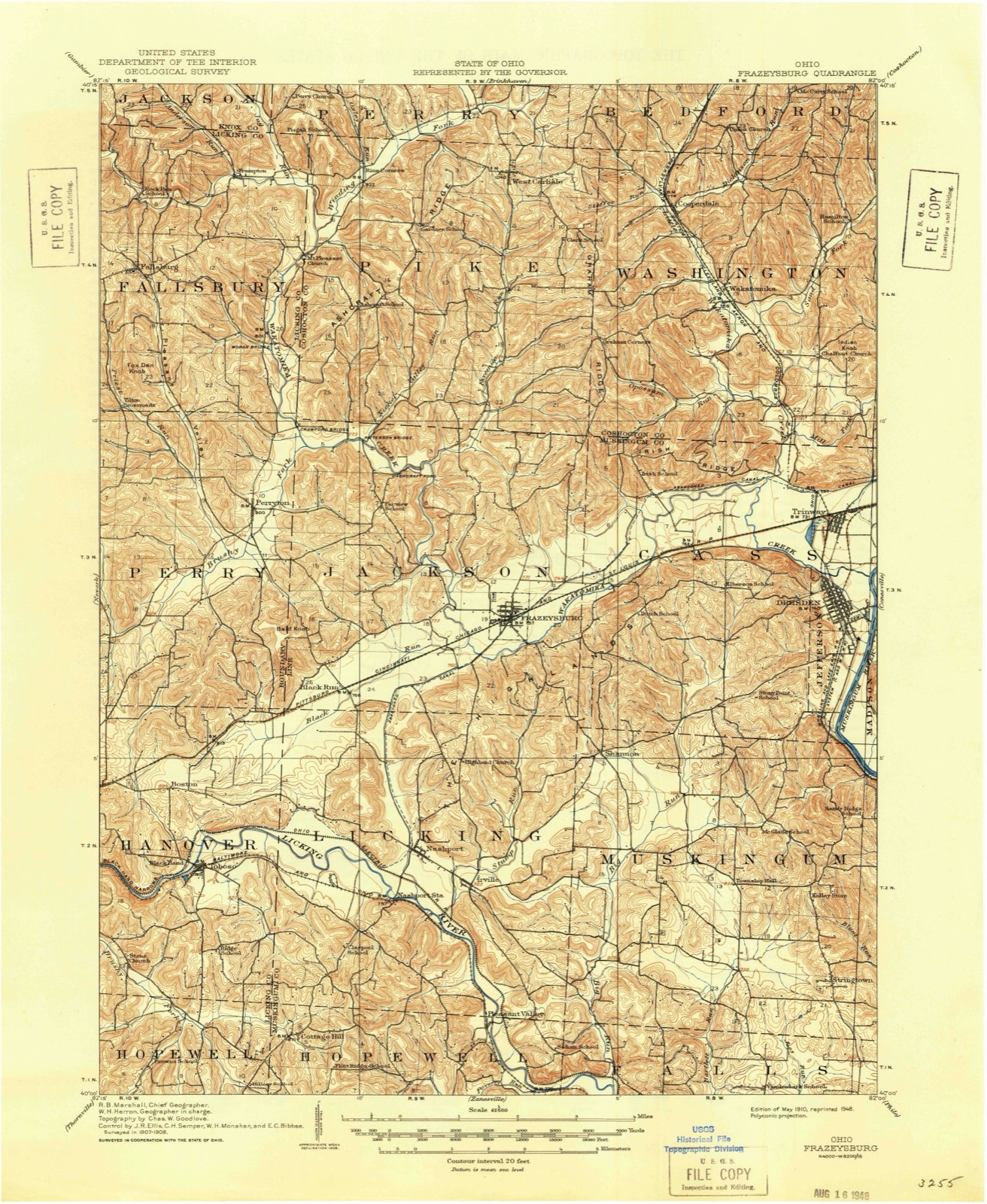
Topographic sheets covering this place
5 surveys from 10 printed sheetsMatched by testing this settlement's coordinate against the published boundary of every sheet in the United States Geological Survey's historical collection. Each opens the scanned sheet at the Survey.
- 1910 USGS Frazeysburg quadrangle1:62500, 2 printings
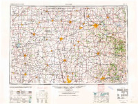
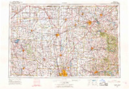
- 1950 USGS Marion quadrangle1:250000
- 1962 USGS Marion quadrangle1:250000
- 1962 USGS Perryton quadrangle1:24000, 3 printings
- 1966 USGS Marion quadrangle1:250000, 3 printings
In the county-history sources
4,314 words on this townshipHistory of Licking County, Ohio: Its Past and Present, published 1881 names this settlement in its chapter on Fallsbury Township. These are the passages that mention it, exactly as the scans read.
The township was organized in 1826, and the first election was held at the house of Samuel Varner. William Wilson was elected justice of the peace, and continued to hold the office fifteen years. Joseph Frost was the second, and William V. Hall the third. Minor McQueen, Levi Baughman, Lofland Hall, Dawson McQueen, James Colville, John Frampton, William Hall and others were later magistrates of this township.
Passage source: History of Licking County, Ohio: Its Past and Present, published 1881.
John Painter was one of the prominent members of this organization, and the society was probably first organized at his house. Garrison Frampton was also a prominent mover in this organization and a class leader. John Rogers, John Frost and
Passage source: History of Licking County, Ohio: Its Past and Present, published 1881.
Edward Bishop were also among the original members. Silas Bland who lived at that time in the neighborhood of Gregg's mill, was also much interested in this church, and gave the ground upon which their first church building was erected. This first building was a frame, and was built about 1855. Some years afterwards, this same building was moved several miles to its present location in the eastern edge of the township, where it was repaired and built over into the present church, in 1880, costing as it stands about nine hundred dollars.
Passage source: History of Licking County, Ohio: Its Past and Present, published 1881.
Machine-read from a century-old scan, so expect the errors a machine makes: misspelled names, dropped words, stray characters.
Read the whole chapter on Fallsbury Township - it names this place 3 more 3 times.
Fires near this place
17 since 2014Regional context, not property-specific evidence. The federal wildfire occurrence database lists 17 fires within 5 miles of Frampton between 2014 and 2019, burning about 40 acres in total. None started naturally. 1 was recorded as arson. Distance is straight-line from the map coordinates, so a fire counted here may appear on a neighbouring settlement's page as well.
| Reported cause | Fires |
|---|---|
| Debris and open burning | 7 |
| Missing data/not specified/undetermined | 4 |
| Equipment and vehicle use | 4 |
| Arson/incendiarism | 1 |
| Power generation/transmission/distribution | 1 |
The most recent of them, most recent first, with the day each was reported and the service that recorded it.
| Date | Cause | Size | Reported by | Name on the report |
|---|---|---|---|---|
| 30 September 2017 | Arson/incendiarism | under an acre | Ohio Department of Natural Resources | 8807 |
| 24 September 2016 | Missing data/not specified/undetermined | 1.0 acres | Ohio Department of Natural Resources | 5565 |
| 22 September 2019 | Missing data/not specified/undetermined | under an acre | Ohio Department of Natural Resources | 15288 |
| 7 July 2016 | Equipment and vehicle use | 1.0 acres | Ohio Department of Natural Resources | 5226 |
| 9 May 2018 | Power generation/transmission/distribution | 9.0 acres | Ohio Department of Natural Resources | 12348 |
| 9 April 2019 | Missing data/not specified/undetermined | 2.0 acres | Ohio Department of Natural Resources | 15158 |
| 9 April 2019 | Equipment and vehicle use | 2.0 acres | Ohio Department of Natural Resources | 15234 |
| 22 April 2014 | Debris and open burning | 2.0 acres | Ohio Department of Natural Resources | not named |
Settlements close enough to share some of these fires:
Specimens collected near this place
12 of 331 shownRegional context, not property-specific evidence. Museums hold 331 specimens collected within 10 miles of Frampton between 1894 and 1974: 322 Animalia, 5 Plantae, 4 Fungi. 12 distinct Species records are shown. Collected by ANGEVINE & SEVER, Adler, K. K., Adler, K. K. & Dennis, D. M. and others. Each is a physical object with a catalogue number, and each entry opens the museum's record. This is what was collected and kept, not a survey of what lives here - nothing can be concluded from a species being absent.
| Image | Species | Year | Collected by | Where, as recorded |
|---|---|---|---|---|
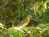 | Icteria virens (Linnaeus, 1758) | 1894 | Mills, W. C. | Mt. Vernon, 1 mi N of, Knox, Ohio, USA |
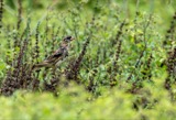 | Dolichonyx oryzivorus (Linnaeus, 1758) | 1896 | Parker, J. B. | Danville, Knox, Ohio, USA |
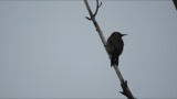 | Colaptes auratus (Linnaeus, 1758) | 1897 | Osburn, R. C. (Raymond Carroll) | Danville, Knox, Ohio, USA |
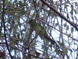 | Piranga olivacea (J.F.Gmelin, 1789) | 1897 | Parker, J. D. | Danville, Knox, Ohio, USA |
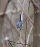 | Polioptila caerulea (Linnaeus, 1766) | 1897 | Osburn, R. C. (Raymond Carroll) | Danville, Knox, Ohio, USA |
 | Vireo olivaceus (Linnaeus, 1766) | 1897 | Williamson, E. G. | Danville, Knox, Ohio, USA |
 | Coccyzus erythropthalmus (A.Wilson, 1811) | 1898 | Parker, J. D. | Danville, Knox, Ohio, USA |
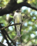 | Contopus virens (Linnaeus, 1766) | 1898 | Parker, J. P. | Danville, Knox, Ohio, USA |
 | Melanerpes erythrocephalus (Linnaeus, 1758) | 1898 | Osburn, R. C. (Raymond Carroll) | Danville, Knox, Ohio, USA |
| Piranga Vieillot, 1808 | 1898 | Parker, J. D. | Danville, Knox, Ohio, USA | |
 | Coccyzus americanus (Linnaeus, 1758) | 1899 | Mills, W. C. | Mt Vernon, 2 mi N of, Knox, Ohio, USA |
| Podiceps grisegena holboellii Reinhardt, 1853 | 1899 | Parker, J. B. | Danville, Knox, Ohio, USA |
All 331 specimens within 10 miles, at the Global Biodiversity Information Facility.
Mines and quarries near this place
1 within 5 milesRegional context, not property-specific evidence. The federal mineral resources record lists 1 working within 5 miles of Frampton: 1 plant. All of them still produce. What was taken out: Stone, Crushed/Broken. Distance is straight-line from the map coordinates, so a quarry counted here may appear on a neighbouring settlement's page as well.
| Where | Site | Commodity | Status | Recorded |
|---|---|---|---|---|
| Delaware Plant & Quarry | Stone, Crushed/Broken | Plant |
Nearest settlements
The eight closest, with where each one stands in the county. Distances are straight-line, computed from the Geographic Names Information System coordinates.
| Map | Place | Distance | Sheets |
|---|---|---|---|
| Fallsburg | 2.3 miles | 10 | |
| Tilton Crossroads | 4.4 miles | 10 | |
| Long Run (historical) | 4.4 miles | 11 | |
| Rain Rock | 5.0 miles | 11 | |
| Perryton | 5.7 miles | 10 | |
| Rocky Fork | 6.3 miles | 11 | |
| Reform | 6.7 miles | 11 | |
| Purity | 7.3 miles | 11 |
Provenance
This settlement is recorded in the Geographic Names Information System as feature 1064671. The sheet list is computed by point-in-boundary test against the United States Geological Survey's historical topographic inventory. Both are works of the United States government and carry no copyright under 17 U.S.C. 105.
Wildfire. Short, Karen C. 2022. Spatial wildfire occurrence data for the United States, 1992-2020 [FPA_FOD_20221014]. 6th Edition. Fort Collins, CO: Forest Service Research Data Archive. https://doi.org/10.2737/RDS-2013-0009.6 Collected with United States Government funding and usable without additional permissions or fees.
Specimens. Global Biodiversity Information Facility (GBIF), https://www.gbif.org/. Only records licensed CC0 or CC BY are used. Records licensed CC BY-NC are excluded because this site carries advertising. Images are checked individually and any whose licence is non-commercial, no-derivatives or unreadable is refused.
Mines and quarries. USGS Mineral Resources Data System (MRDS) https://mrdata.usgs.gov/mrds/ A work of the United States government, no copyright under 17 U.S.C. 105.