BlockBefore
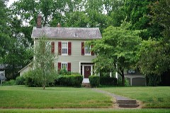
Decorative drawing: a county panorama. Not a photograph of this place.

Licking County, Ohio

105 topographic sheets and 29 fire insurance atlases across 6 places.

Research this county

This curated hub for Licking County, Ohio brings together the page's documented record links, visible map or image evidence where published, and routes to related local records.

What is documented here?

Use the page's provenance and linked records to distinguish the source material from the site's navigation and summaries.

How should I cite it?

Open the original record, preserve its repository and identifier, then use the citation tool for this page as a path back to the source.

Where should I go next?

Follow the county or state hub for related places and records, then use the guide for a source-aware research sequence.

From the record

52 National Register listings · 81 businesses named in the fire insurance atlases from 1884 to 1946 · the 1881 county history tells 3 stories and names 423 people · people the book names include Thomas Algeo (Licking Township, 1909) (machine-read).

Sources: the county history on the Internet Archive · the National Register database, National Park Service

Ohio within the United States
Licking County within Ohio
Explore by year 1854 1946

What the record shows

  • 6 places in this county were surveyed for fire insurance: Newark, Utica, Granville, Johnstown, Buckeye Lake, Hebron, between 1884 and 1961.
  • 29 fire insurance atlas(es) survive for the county. Topographic coverage is national; fire insurance survey reached only incorporated places with something worth insuring.
  • 980 topographic sheet readings cover the county's settlements.
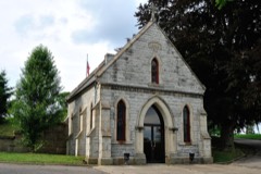
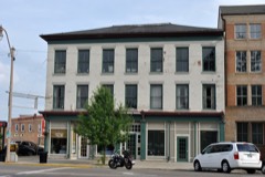
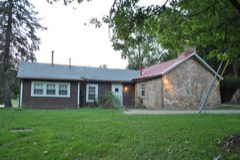
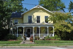
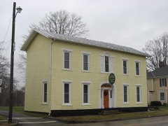
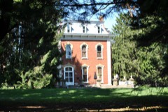
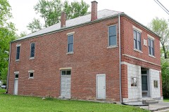
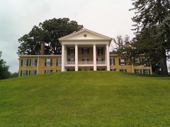
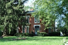
  • 52 properties here are on the National Register of Historic Places, including 1 covered bridge, 21 houses and farms.
  • 19 of the 52 listings were added during the 1970s.
  • The Geographic Names Information System records 87 populated places in this county; 0 are covered by at least one topographic sheet.
  • 3 public-domain county histories, 1881 to 1909, supply 880,617 words of narrative reproduced here in full.

What happened here

3 accounts

A captivity, a drowning, a famine, a man scalped clearing his lot in 1789. These are passages from History of Licking County, Ohio: Its Past and Present, written while people who remembered the events were still alive, and each one opens the section it comes from.

1881, Licking Township

Abraham Lincoln

(31 BRAHAM LINCOLN, the sixteenth Presi- LA dent of the United States, was born in Hardin (1 County, Ky., February 12, 1809. About the year 1780, a man by the name of Abraham Lincoln left Virginia with his family and moved into the then wilds of Kentucky. Only two years after this emigration, and while still a young man, he was working one day in a field, when an Indian stealthily approached and killed him.

Read the rest of this passage

1881, Licking Township

Memorial Record

ing of the father and three children, returned to Ohio, and for a time resided in Wooster, Wayne County. In 1853 he settled on an unimproved farm in Putnam County, Ohio, and in September of the same year he was brutally murdered by an intoxicated neighbor, simply for the reason that Mr. Lyon, who was a Christian, reproved him for using excessively profane language.

Read the rest of this passage

1881, Licking Township

Mkmortal Record

Licking County', Ohio. About 1828, lie married Sarah Wickham, of Muskingum County. They made their home in Licking County about six years, when they removed to Mt. Sterling, Muskingum County, where in 1838 Mr. Carter was murdered by a man by the name of Kemp. His widow, in 1843, married Mason Redman, by whom she had two children.

Read the rest of this passage

Photographs

14 photographs, 2016

Taken for the Office of War Information and the Farm Security Administration, who photographed the country between 1935 and 1944. Works of United States government photographers, with no known restriction on use. Each opens its catalogue record.

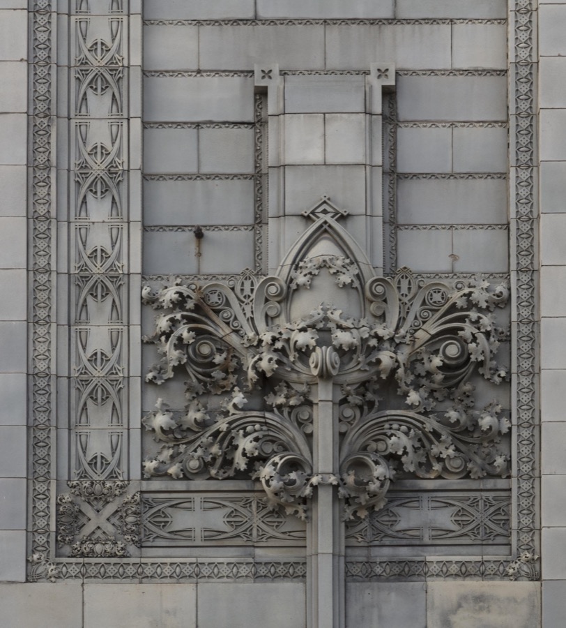
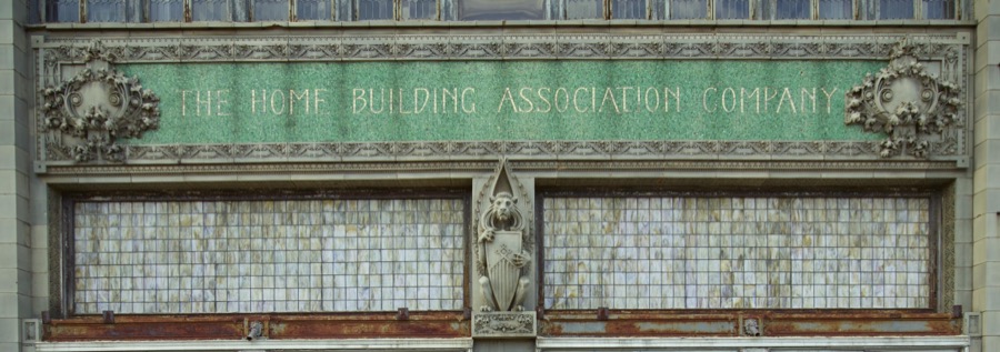
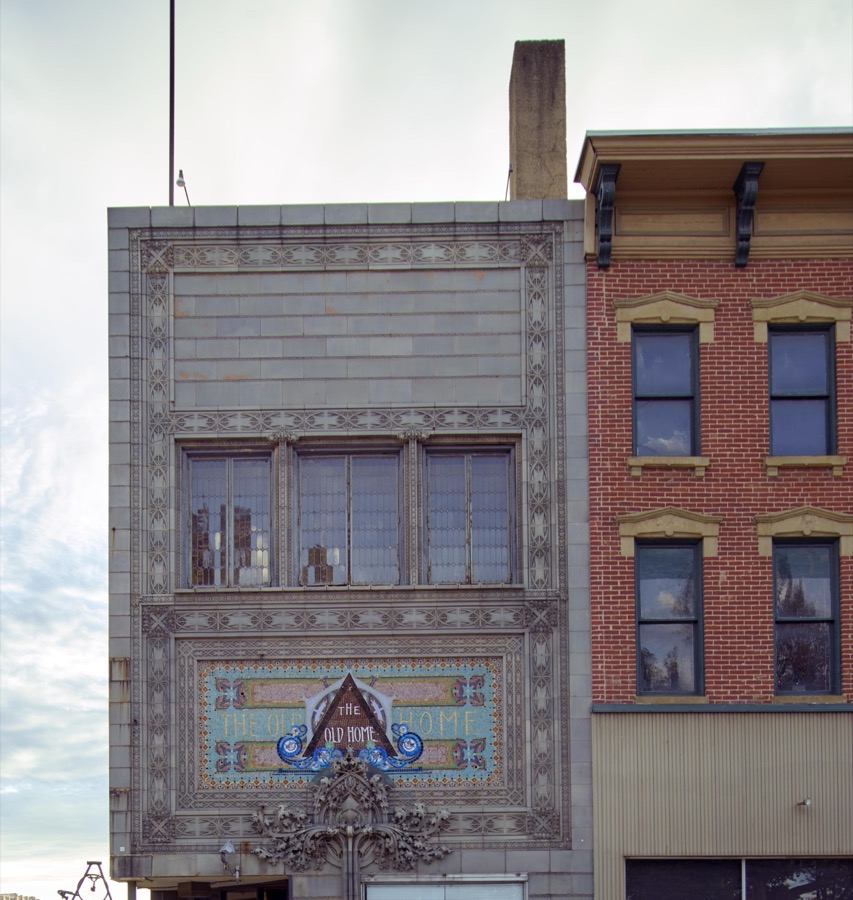
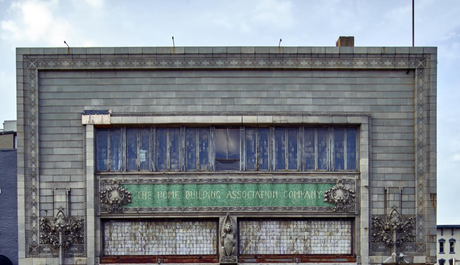
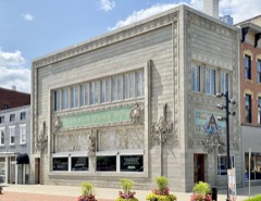
Exterior architectural details on the 1915 Home Building Association Bank building in Newark, Ohio
Highsmith, Carol M, 2016. Library of Congress
Exterior architectural details on the 1915 Home Building Association Bank building in Newark, Ohio
Highsmith, Carol M, 2016. Library of Congress
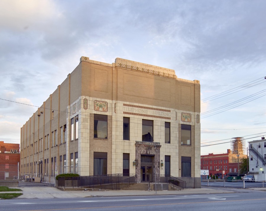
The 1929 art deco-style Telephone Building in Newark, Ohio, housed the offices and telephone switchboards of the Newark Telephone Company, which had been the first independent telephone company incorporated in the United States in 1894
Highsmith, Carol M, 2016. Library of Congress
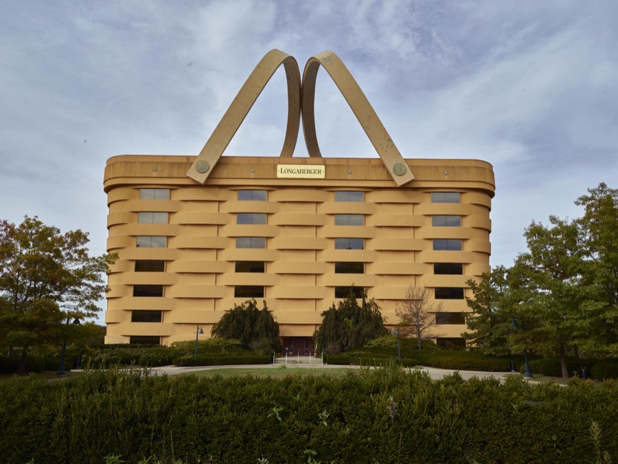
Ohio's famous "Big Basket" building in Newark, long the seven-story corporate headquarters of the Longaberger Co., a maker of baskets, pottery, and other household items
Highsmith, Carol M, 2016. Library of Congress
Exterior architectural details on the 1915 Home Building Association Bank building in Newark, Ohio
Highsmith, Carol M, 2016. Library of Congress
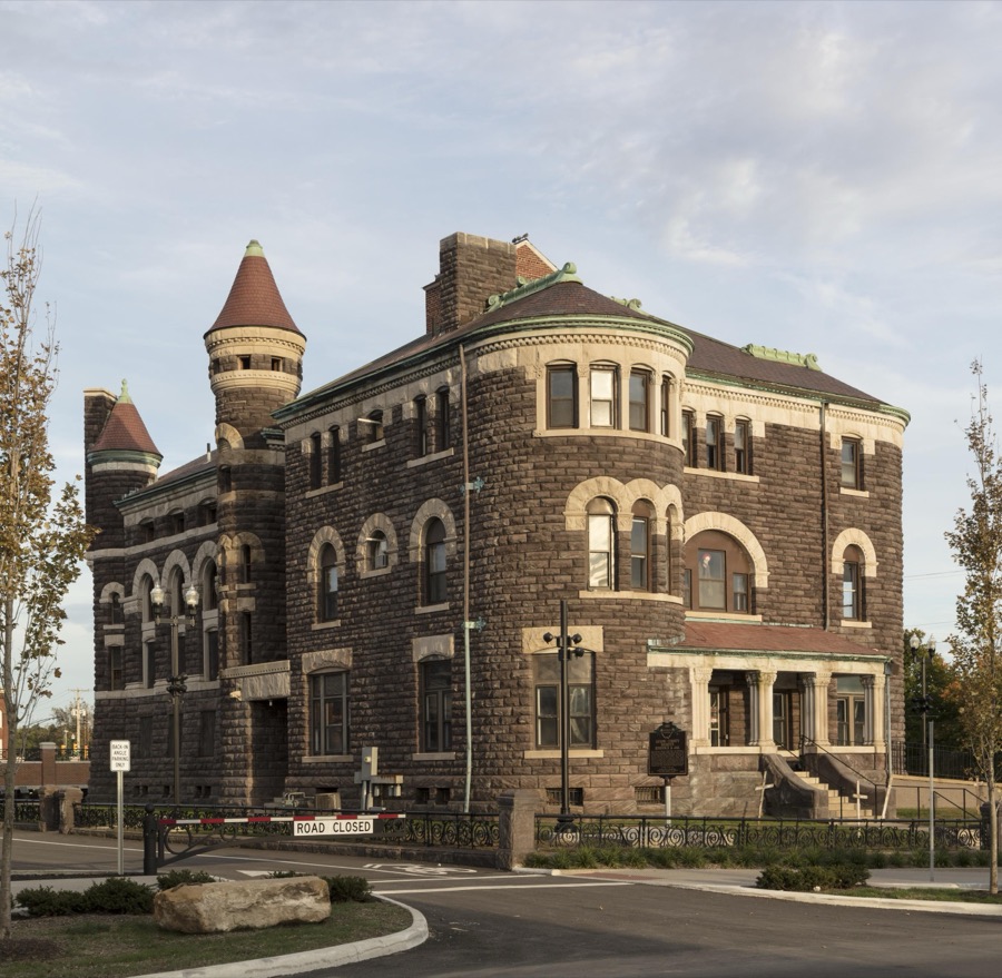
The old Licking County sheriff's residence and jail in Newark, Ohio
Highsmith, Carol M, 2016. Library of Congress
Exterior architectural detail on the 1915 Home Building Association Bank building in Newark, Ohio
Highsmith, Carol M, 2016. Library of Congress
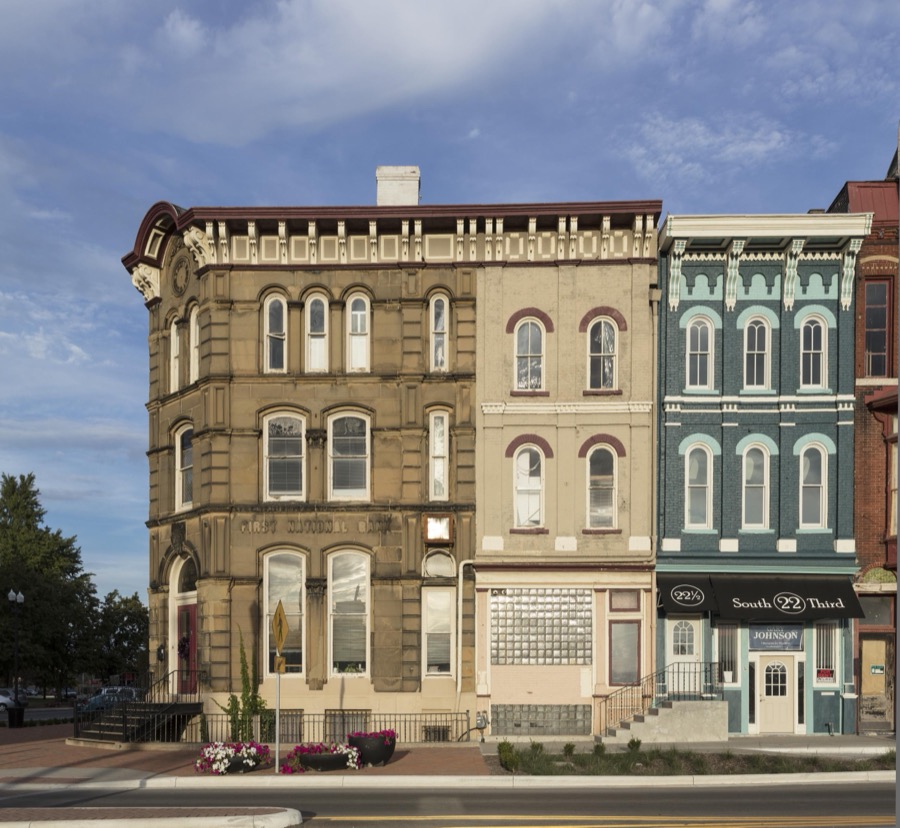
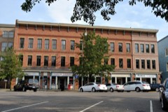
A block in downtown Newark, Ohio, anchored on the corner by the First National Bank Building
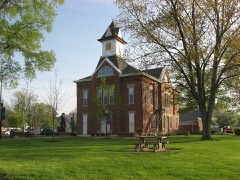
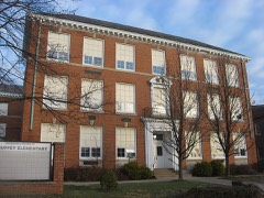
Highsmith, Carol M, 2016. Library of Congress
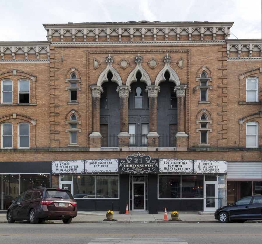
A building in Newark, Ohio, that was saved from demolition and, in 2016, became the home of Thirty One West, a live-music venue
Highsmith, Carol M, 2016. Library of Congress
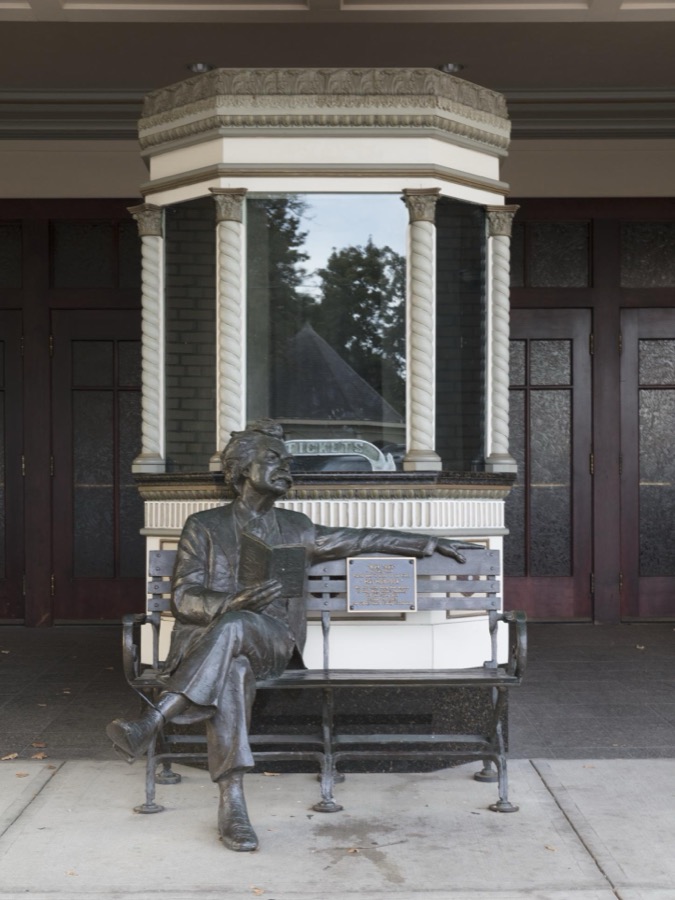
The legendary American author and storyteller Mark Twain, lounges in front of the Midland Theatre, at last in sculpure form, in Newark, Ohio
Highsmith, Carol M, 2016. Library of Congress
Exterior architectural details on the 1915 Home Building Association Bank building in Newark, Ohio
Highsmith, Carol M, 2016. Library of Congress
Exterior architectural details on the 1915 Home Building Association Bank building in Newark, Ohio
Highsmith, Carol M, 2016. Library of Congress
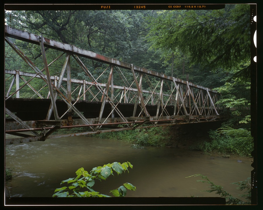
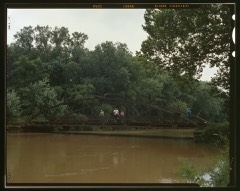
Falling Rock Camp Bridge, Spanning Rocky Fork Creek, Hickman, Licking County, OH
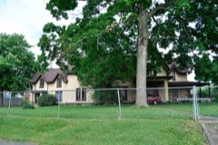
Unattributed, . Library of Congress
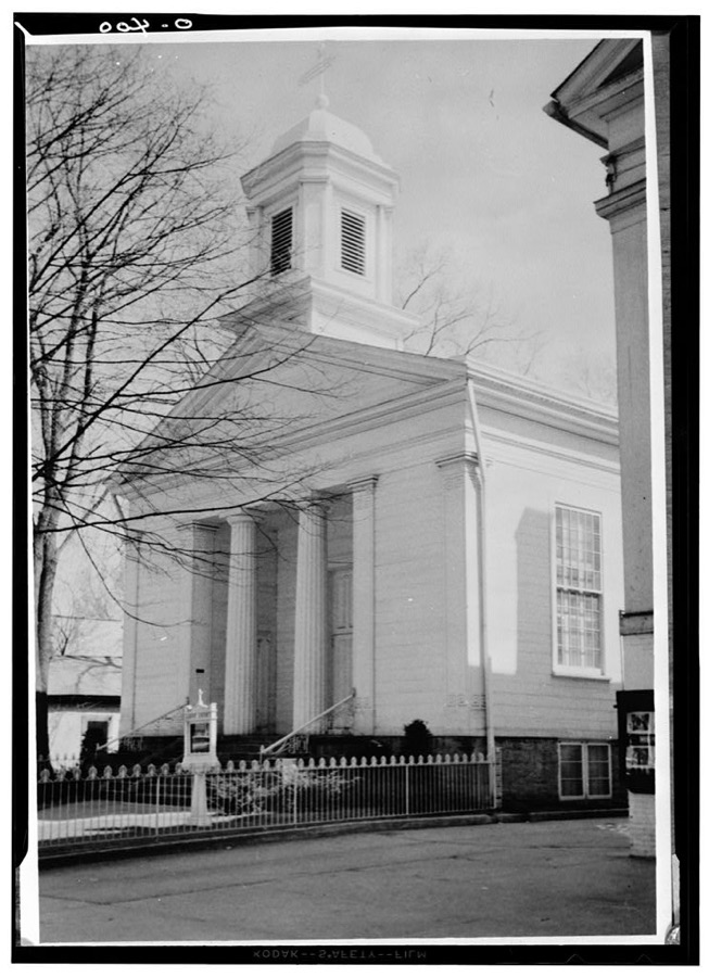
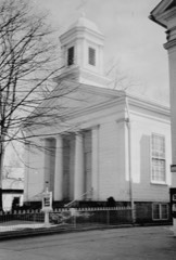
St. Luke's Episcopal Church, 200 East Broadway, Granville, Licking County, OH
Unattributed, . Library of Congress

Places on the National Register

52

Every property in this county listed on the National Register of Historic Places, with the year it was listed and the federal nomination document.

Photograph PropertyType ListedReference
Avery-Hunter Housebuilding197979001877
Bancroft, A. A., Housebuilding198080003135
Belle Hall Covered Bridgestructure197676001464
Bethel Baptist Churchbuilding198383001990
Bryn Mawrbuilding198383001991
Buxton Innbuilding197272001029
Carpenter, Wallace W., Housebuilding198080003136
Casterton Housebuilding198383001992
Cedar Hill Cemetery Buildingsbuilding197777001071
Colony Burying Ground, Olddistrict200505000577
Courthouse Centerbuilding197979001879
Dustin Cabinbuilding198080003137
Elliot Housebuilding198383004315
Evans--Holton--Owens Housebuilding198686002874
Fuller Housebuilding199191000304
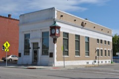
Home Building Association Bankbuilding197373001495
Hull Placebuilding197979001880
Jersey Independent Order of Odd Fellows Hallbuilding2018100002232
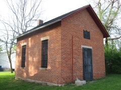
Johnstown Jailbuilding200303000274
Kauber, Warren F., Funeral Homebuilding198383001993
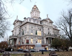
Licking County Courthousebuilding197373001496
Lynnwood Farmbuilding197979001878
McCune's Villabuilding198282003602
McNamar-McLure-Miller Residencebuilding198282003603
Mead Housebuilding198383001994
Monroe Township Hall-Opera Housebuilding198181000446
Newark High Schoolbuilding201515000613
Oakwoodbuilding198080003141
Ohio Canal Groundbreaking Sitesite197373001493
Outville Depotbuilding199595001034
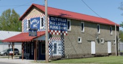
Outville Hay and Grain Company Buildingbuilding2018100002233
Pataskala Banking Companybuilding198383001996
Pataskala Elementary Schoolbuilding198383001995
Pataskala Jailbuilding198383001997
Pataskala Presbyterian Churchbuilding198383004323
Pataskala Town Hallbuilding198383001998
Pataskala United Methodist Churchbuilding198383001999
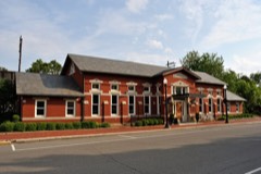
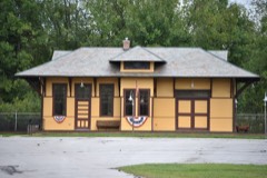
Pennsylvania Railway Stationbuilding197979001881
Pitzer, Anthony, Jr., Housebuilding198888001297
Rhoads, Peter F., Housebuilding198080003142
Rodrick Bridgestructure199898000442
Rogers Housebuilding198080003139
Rose, Capt. Levi, Housebuilding198080003140
Sherwood-Davidson And Buckingham Housesbuilding197777001072
Shield's Blockbuilding197878002101
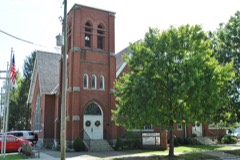
St. Luke's Episcopal Churchbuilding197676001465
Stanbery, Edwin, Officebuilding197878002100
Upham-Wright Housebuilding197979001882
Upland Farmbuilding197878002102
West Side Planing Mill (rear)building198383002000
Williams, Elias, Housebuilding197979001883

Covered bridges

1

Licking County holds 1 covered bridges on the National Register, more than any other property type here. Each is a listed structure with a federal nomination on file.

Belle Hall Covered BridgeListed 1976, 0 map sheets show this crossing

Digitised newspapers

5 issues

Sampled issues, machine-read from the Library of Congress scan and published page by page, so every headline and column is searchable text.

Newark Leader
[Newark, Ohio], 1917 to 1946. Machine-read from the Library of Congress scan.

Bird's-eye views and land ownership maps

2

Drawn when these were printed as single large sheets: the town seen from the air, and the county divided into its farms with every owner named. Each opens the original at the Library of Congress.

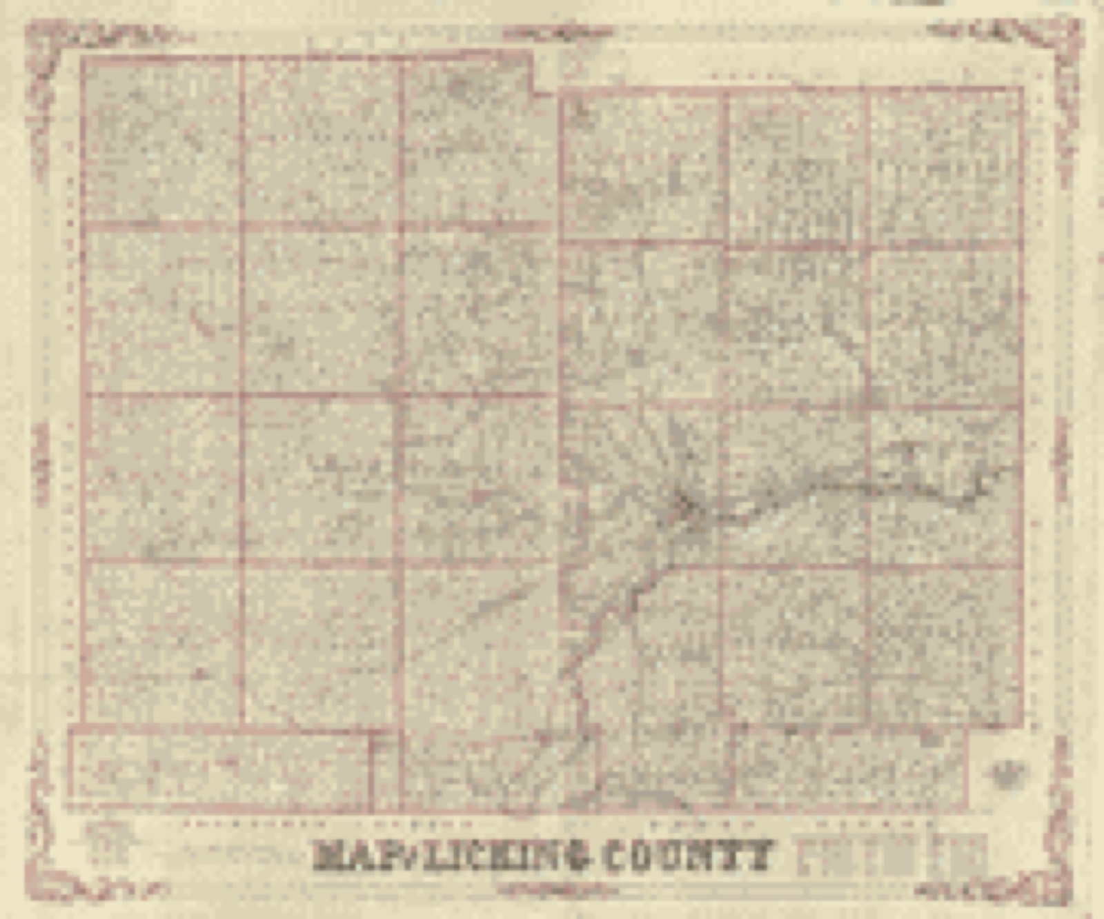
Land ownership map, 1854 - Map of Licking County, Ohio
Land ownership map (1854) - Map of Licking County, Ohio. Library of Congress.
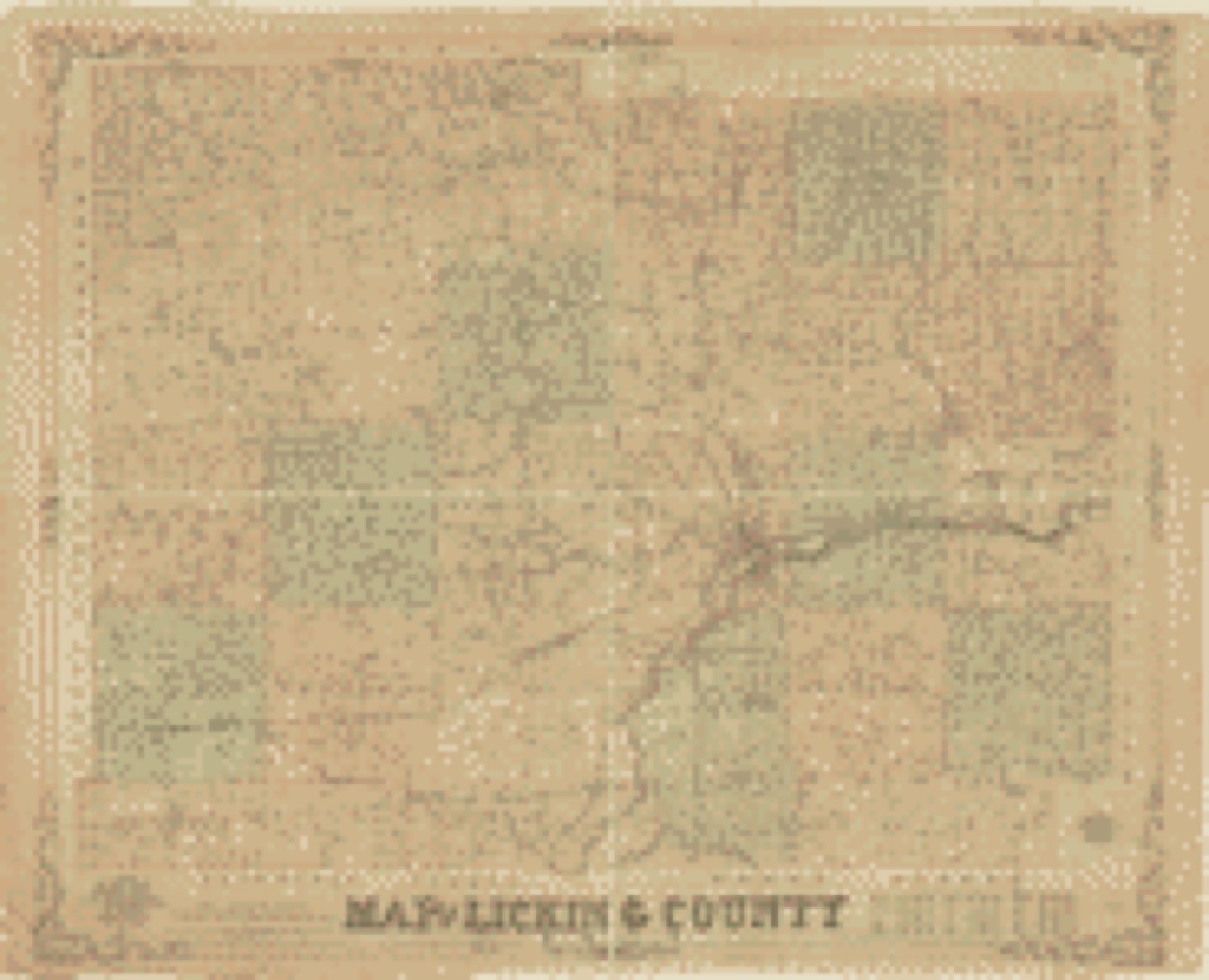
Land ownership map, 1854 - Map of Licking County, Ohio
Land ownership map (1854) - Map of Licking County, Ohio. Library of Congress.

The county from the air

48 of 1,156 shown

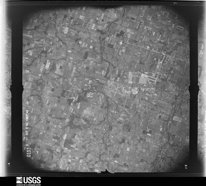
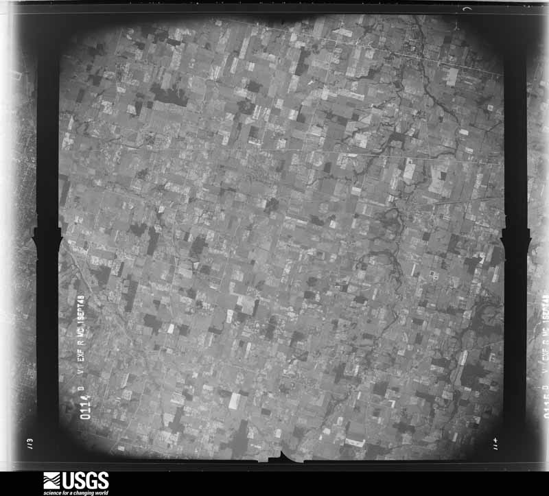
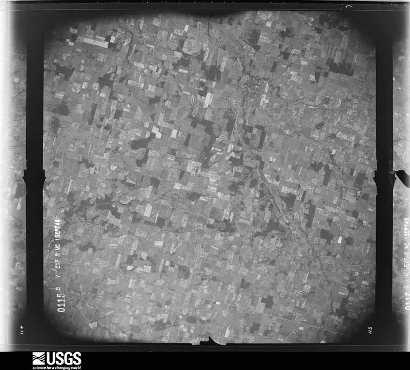
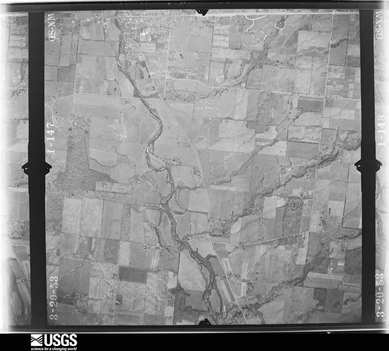
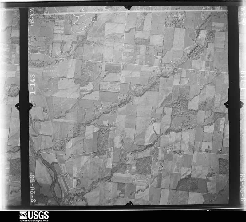
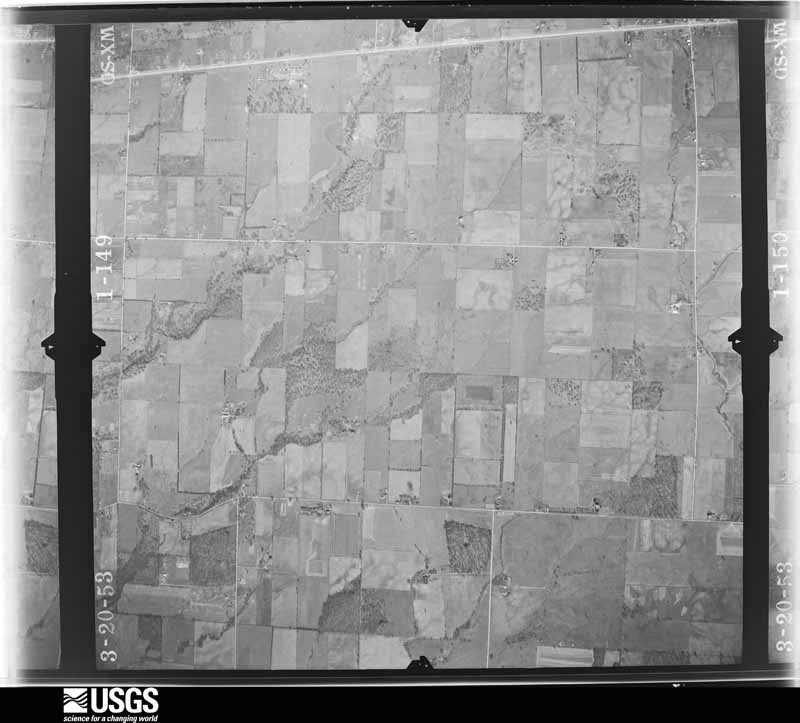
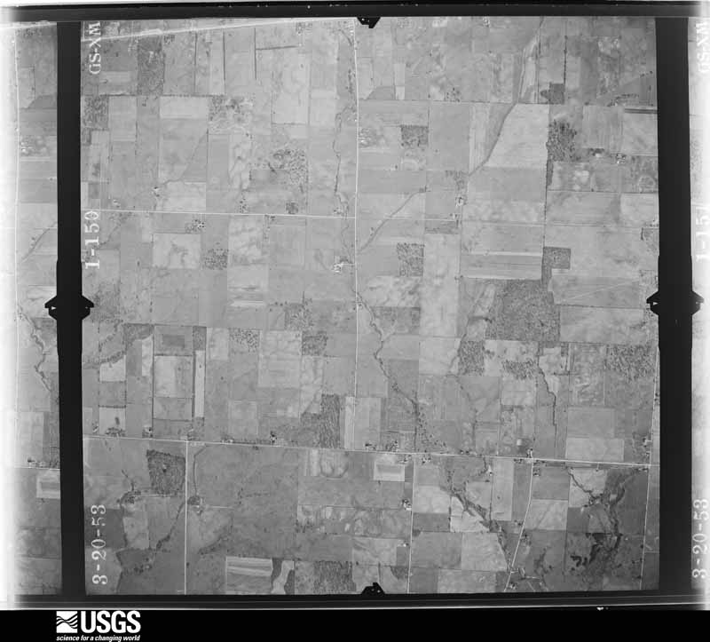
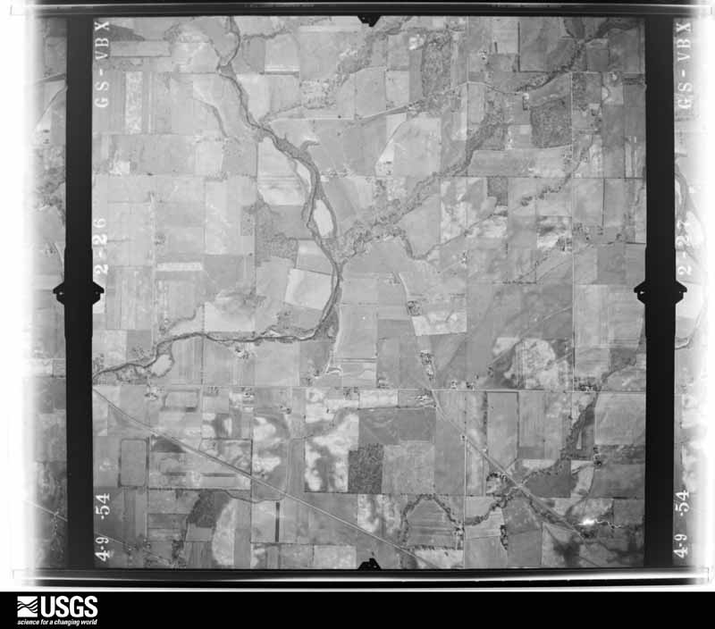
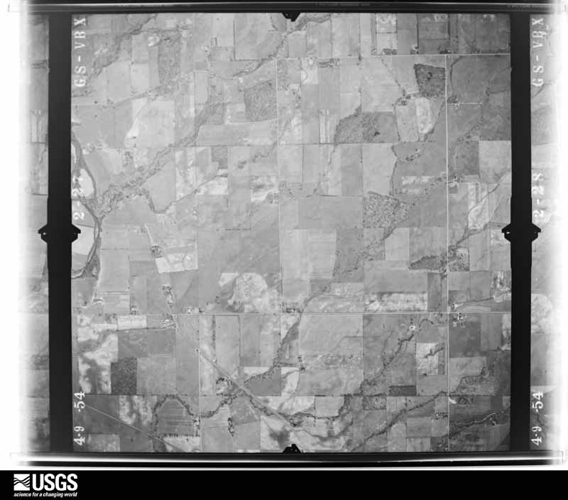
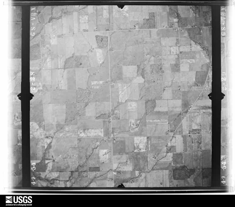
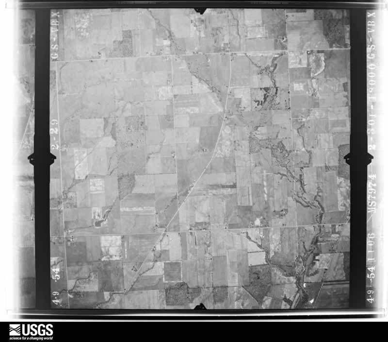
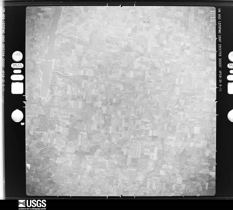
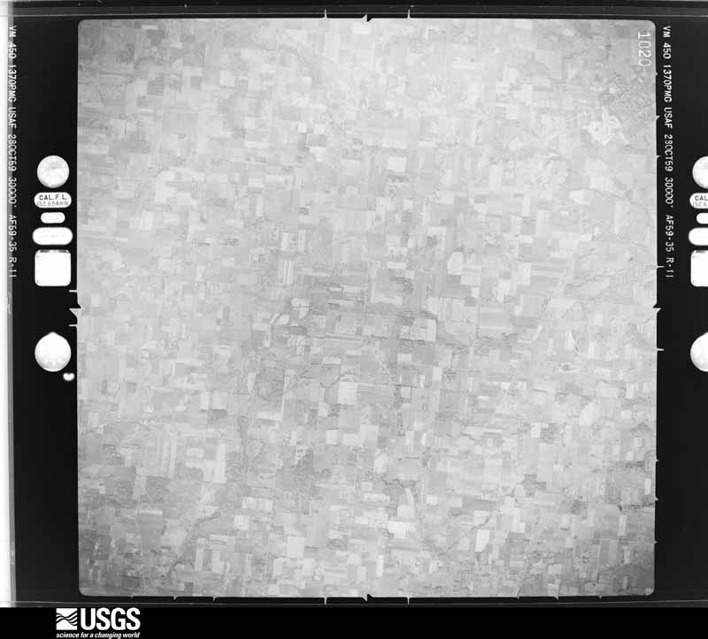
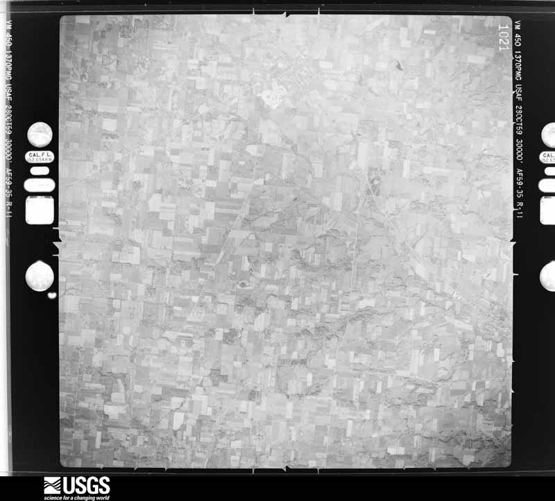
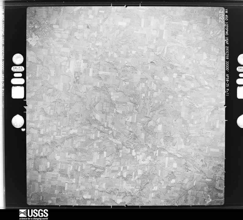
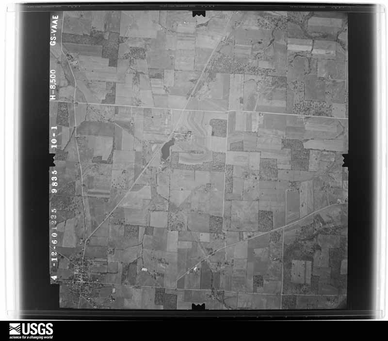
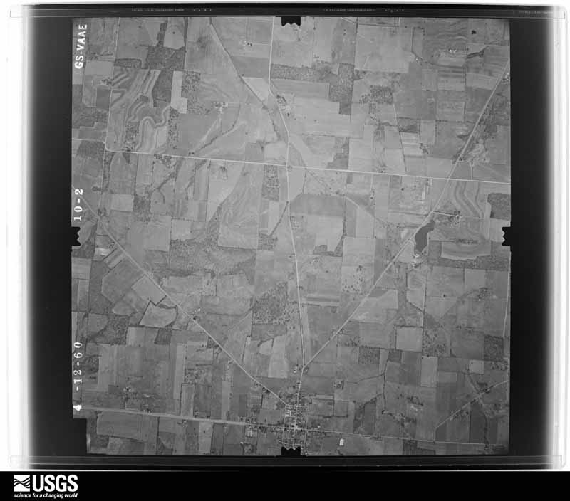
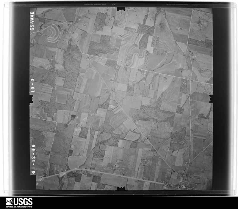
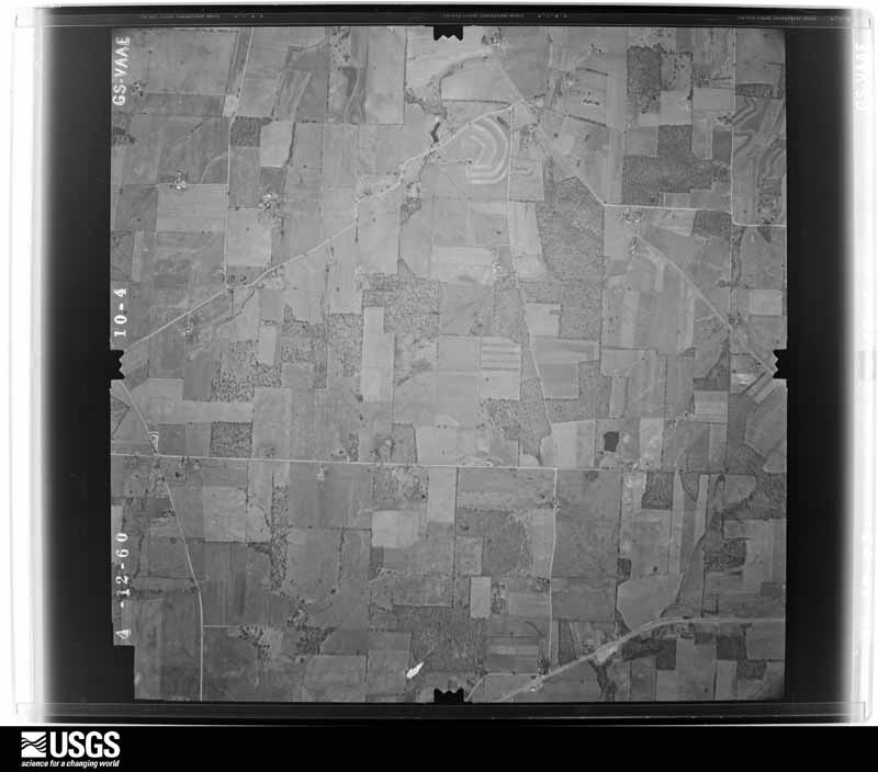
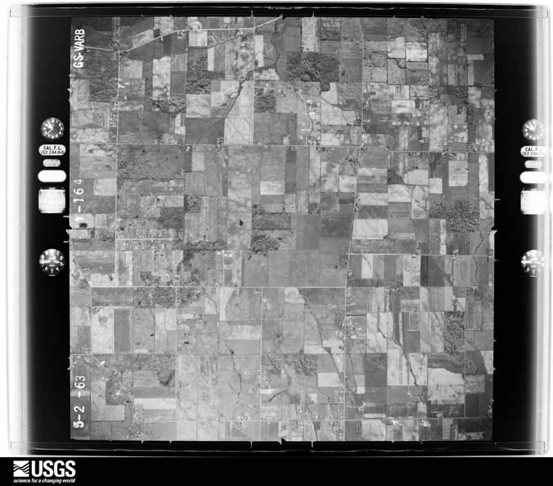
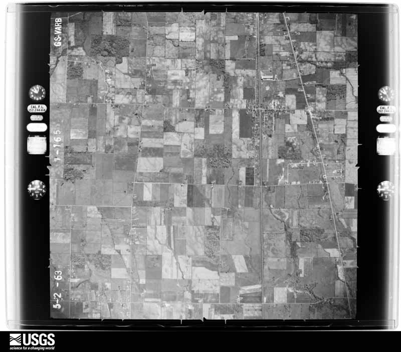
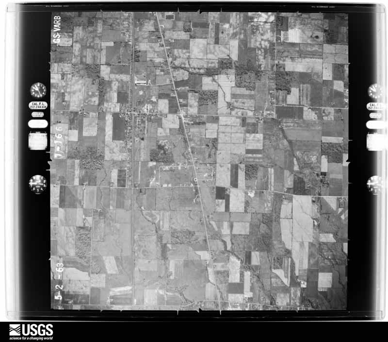
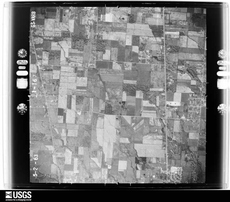
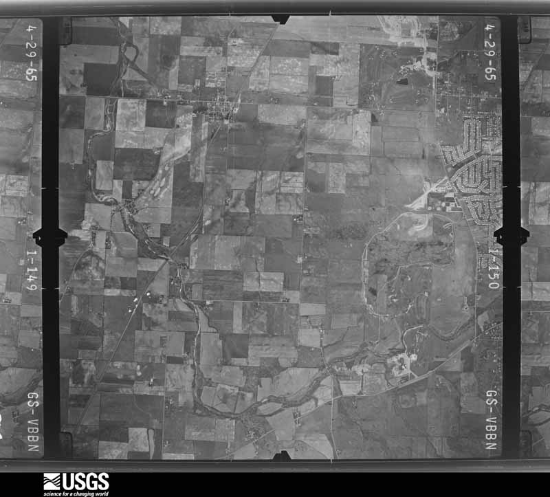
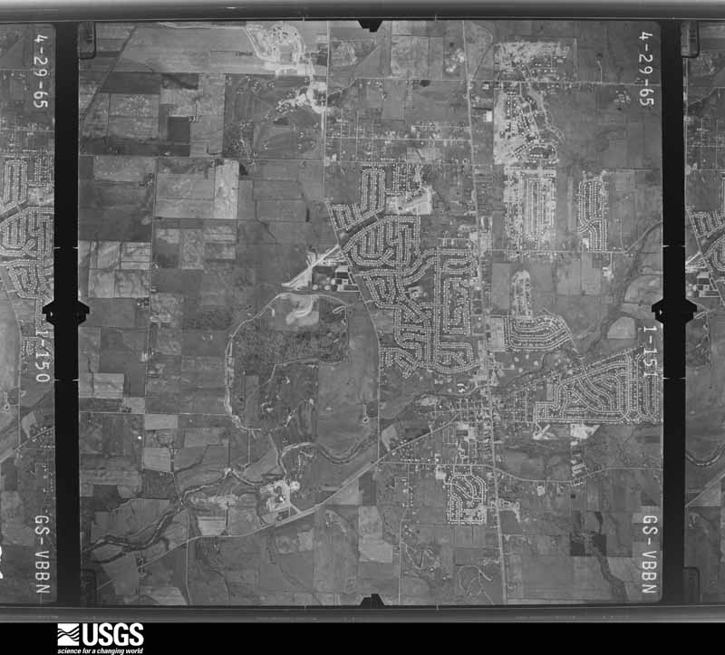
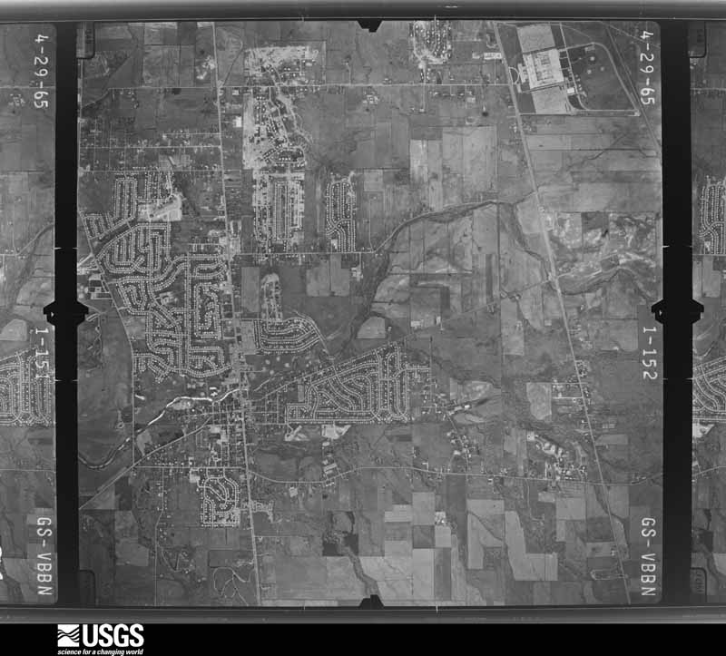
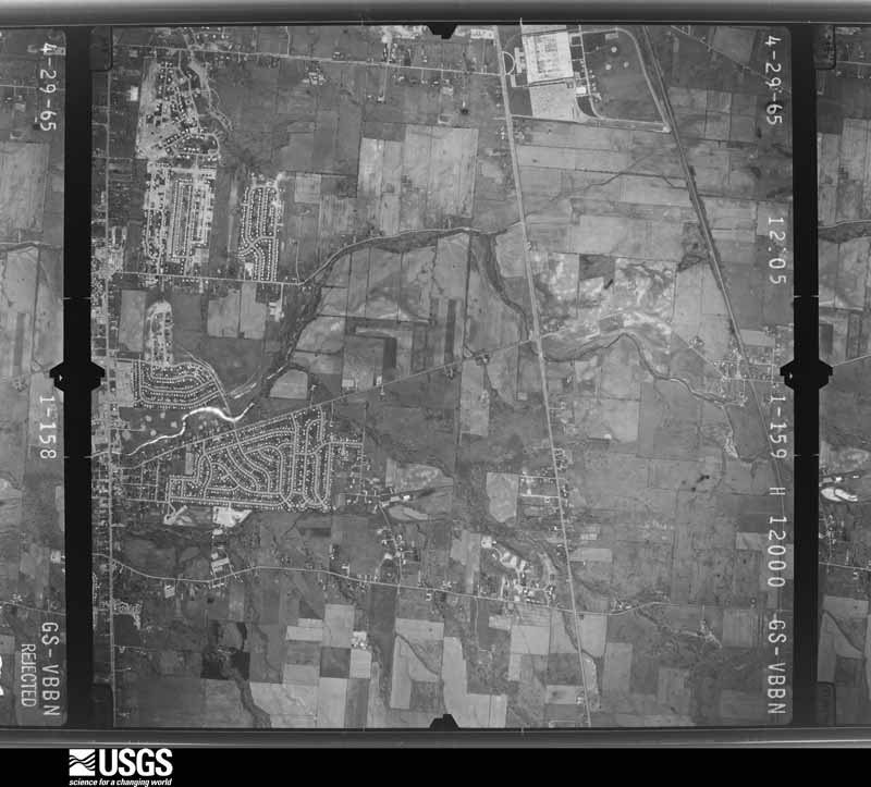
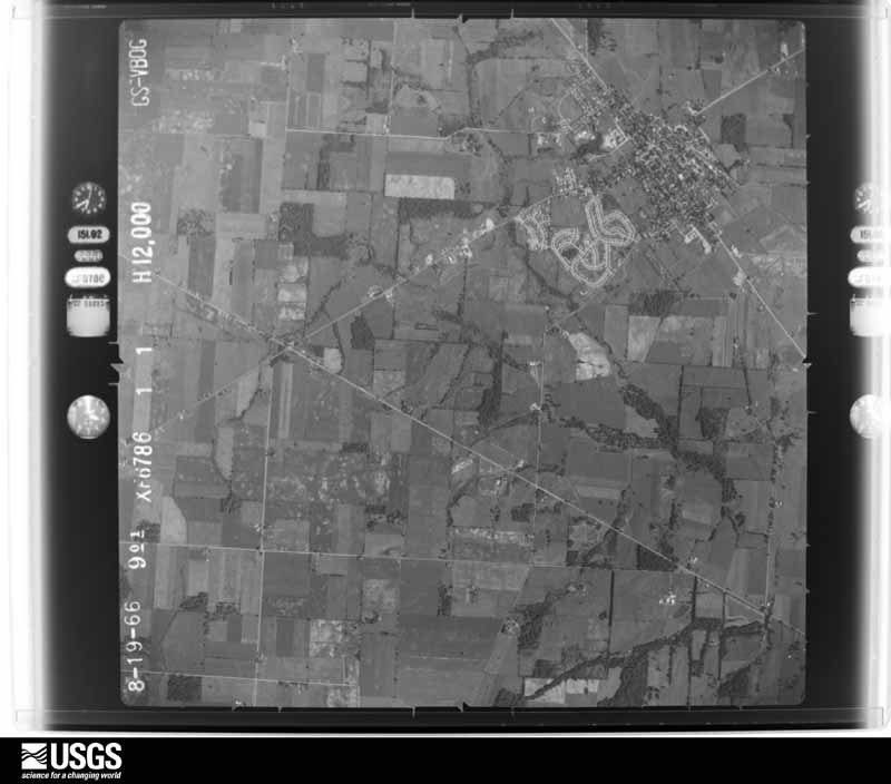
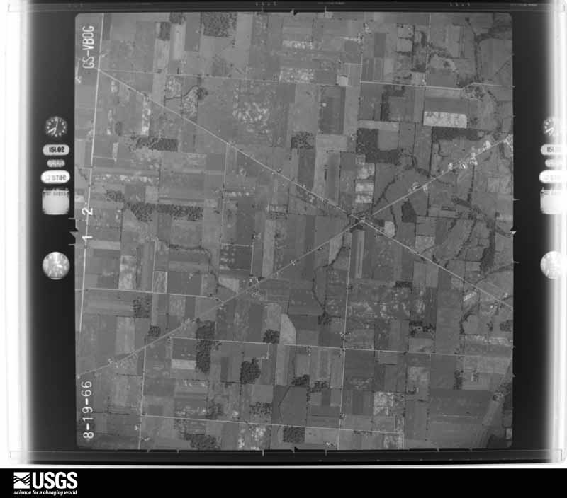
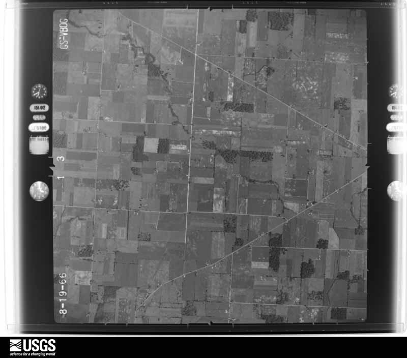
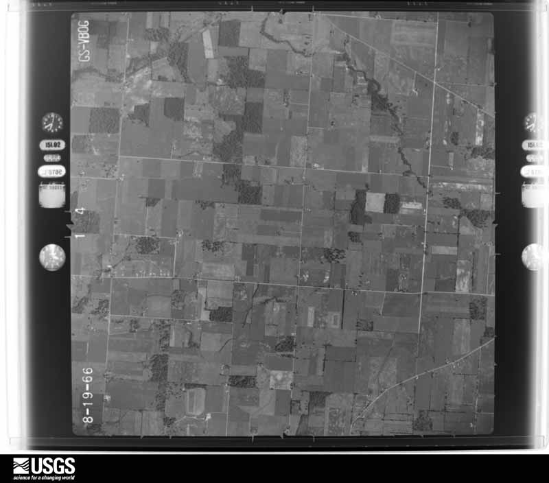
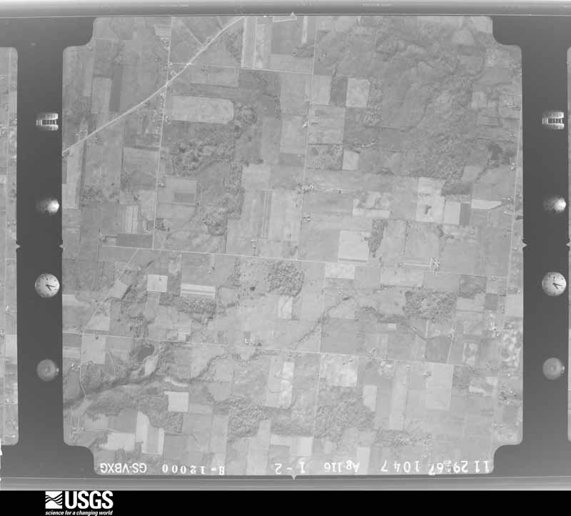
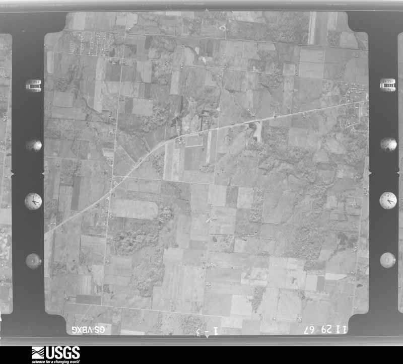
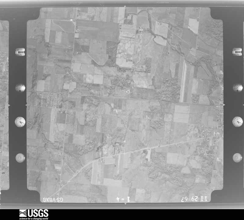
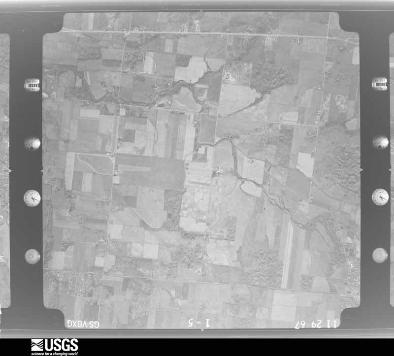
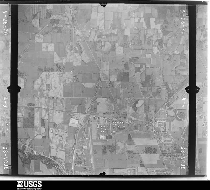
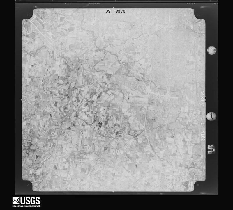
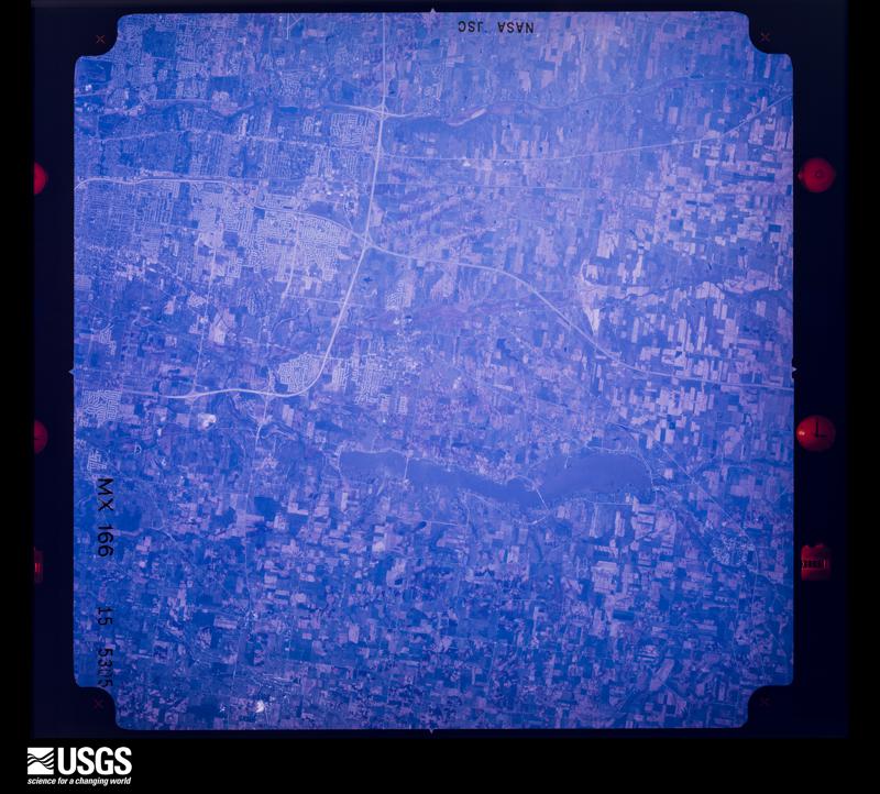
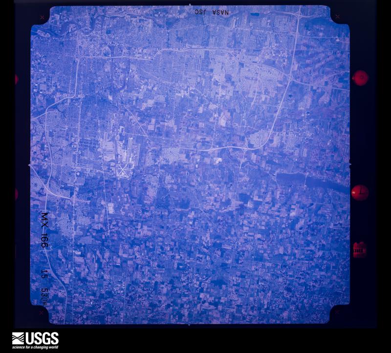
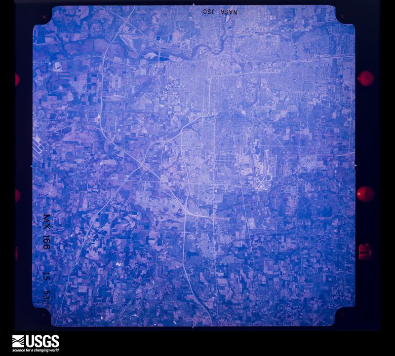
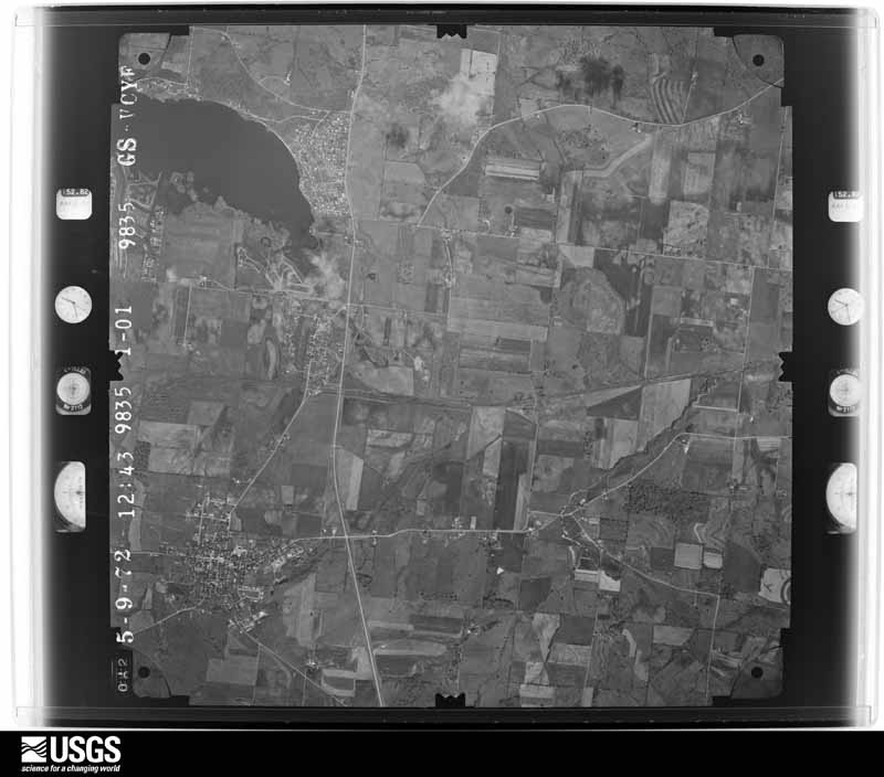
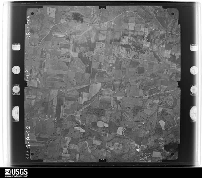
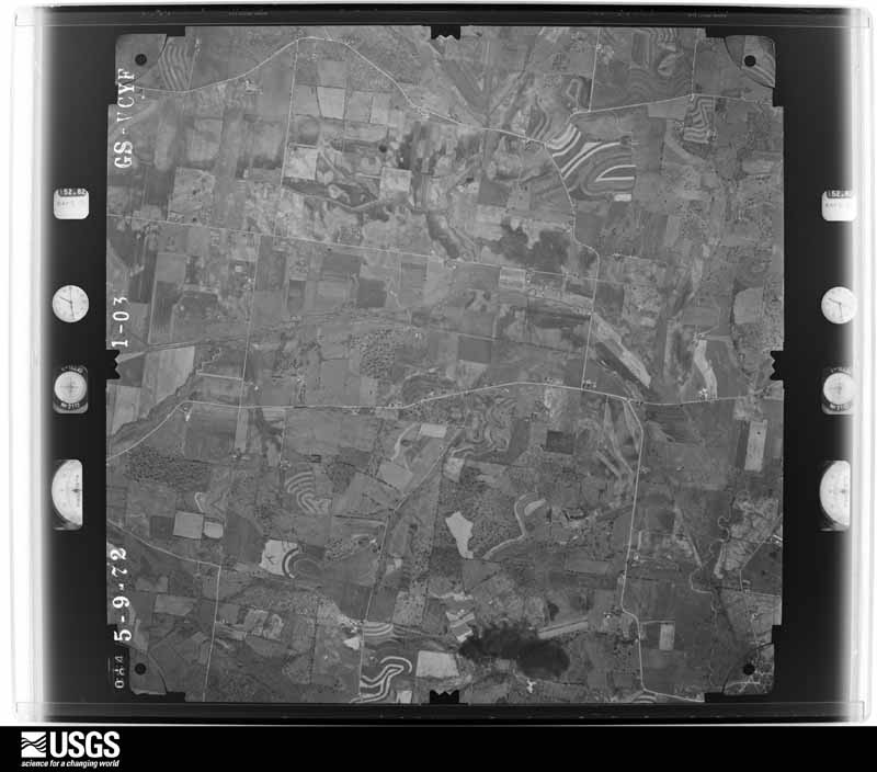
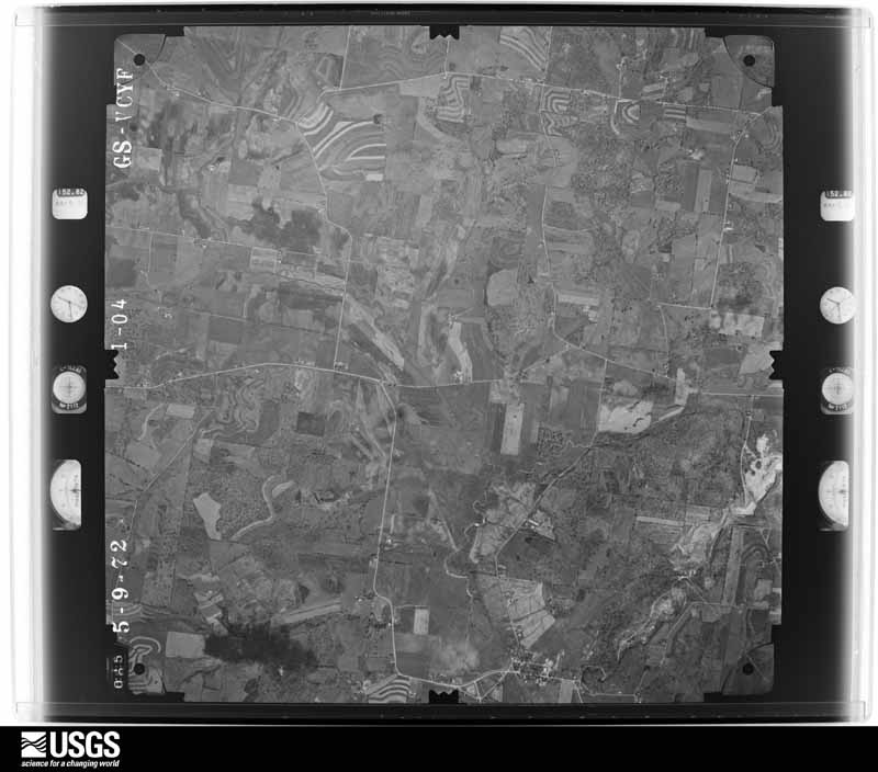
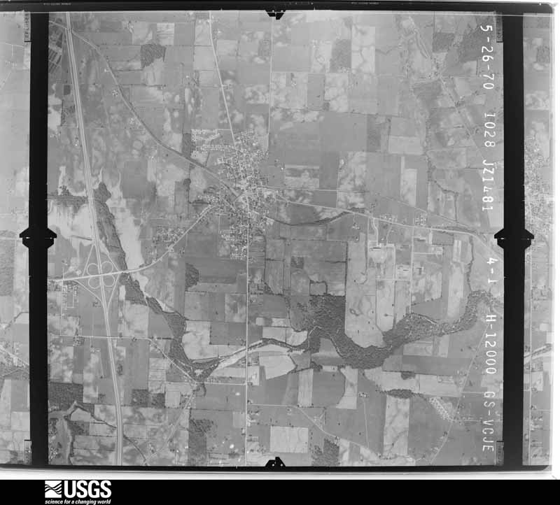
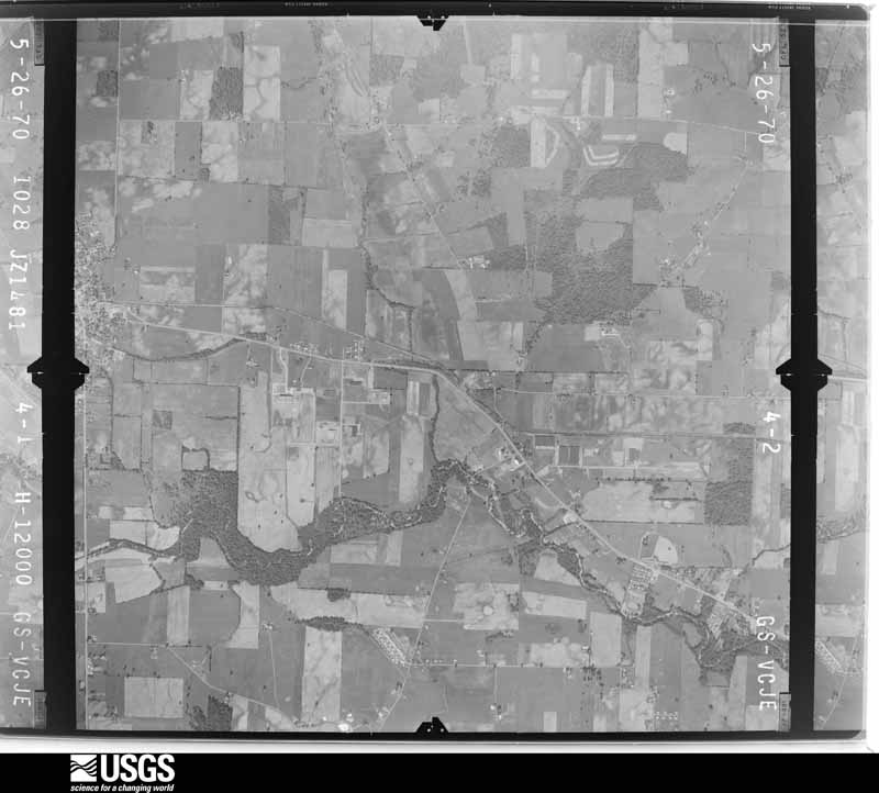
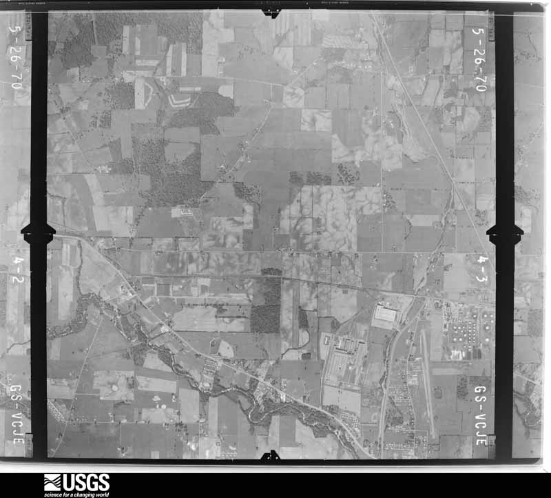
Flown by the U.S. Geological Survey between 1937 and 1989, the Aerial Photo Single Frames collection is the definitive mid-century view of the land: fields, roads and rivers as the camera saw them. 1,156 frames touch this county; the selection below spreads across the decades of flights (at most four per year), so one flight cannot crowd out the rest. The full set is free to browse and download at EarthExplorer under the dataset Aerial Photo Single Frames.

U.S. Geological Survey aerial photograph, 1948-09-01, scale 1:77875
1948-09-01, scale 1:77875. U.S. Geological Survey aerial photograph.
U.S. Geological Survey aerial photograph, 1948-09-01, scale 1:67596
1948-09-01, scale 1:67596. U.S. Geological Survey aerial photograph.
U.S. Geological Survey aerial photograph, 1948-09-01, scale 1:67074
1948-09-01, scale 1:67074. U.S. Geological Survey aerial photograph.
U.S. Geological Survey aerial photograph, 1948-09-01, scale 1:67074
1948-09-01, scale 1:67074. U.S. Geological Survey aerial photograph.
U.S. Geological Survey aerial photograph, 1953-03-01, scale 1:18000
1953-03-01, scale 1:18000. U.S. Geological Survey aerial photograph.
U.S. Geological Survey aerial photograph, 1953-03-01, scale 1:18000
1953-03-01, scale 1:18000. U.S. Geological Survey aerial photograph.
U.S. Geological Survey aerial photograph, 1953-03-01, scale 1:18000
1953-03-01, scale 1:18000. U.S. Geological Survey aerial photograph.
U.S. Geological Survey aerial photograph, 1953-03-01, scale 1:18000
1953-03-01, scale 1:18000. U.S. Geological Survey aerial photograph.
U.S. Geological Survey aerial photograph, 1954-04-09, scale 1:18000
1954-04-09, scale 1:18000. U.S. Geological Survey aerial photograph.
U.S. Geological Survey aerial photograph, 1954-04-09, scale 1:18000
1954-04-09, scale 1:18000. U.S. Geological Survey aerial photograph.
U.S. Geological Survey aerial photograph, 1954-04-09, scale 1:18000
1954-04-09, scale 1:18000. U.S. Geological Survey aerial photograph.
U.S. Geological Survey aerial photograph, 1954-04-09, scale 1:18000
1954-04-09, scale 1:18000. U.S. Geological Survey aerial photograph.
U.S. Geological Survey aerial photograph, 1959-10-28, scale 1:60000
1959-10-28, scale 1:60000. U.S. Geological Survey aerial photograph.
U.S. Geological Survey aerial photograph, 1959-10-28, scale 1:60000
1959-10-28, scale 1:60000. U.S. Geological Survey aerial photograph.
U.S. Geological Survey aerial photograph, 1959-10-28, scale 1:60000
1959-10-28, scale 1:60000. U.S. Geological Survey aerial photograph.
U.S. Geological Survey aerial photograph, 1959-10-28, scale 1:60000
1959-10-28, scale 1:60000. U.S. Geological Survey aerial photograph.
U.S. Geological Survey aerial photograph, 1960-04-12, scale 1:17000
1960-04-12, scale 1:17000. U.S. Geological Survey aerial photograph.
U.S. Geological Survey aerial photograph, 1960-04-12, scale 1:17000
1960-04-12, scale 1:17000. U.S. Geological Survey aerial photograph.
U.S. Geological Survey aerial photograph, 1960-04-12, scale 1:17000
1960-04-12, scale 1:17000. U.S. Geological Survey aerial photograph.
U.S. Geological Survey aerial photograph, 1960-04-12, scale 1:17000
1960-04-12, scale 1:17000. U.S. Geological Survey aerial photograph.
U.S. Geological Survey aerial photograph, 1963-05-06, scale 1:24000
1963-05-06, scale 1:24000. U.S. Geological Survey aerial photograph.
U.S. Geological Survey aerial photograph, 1963-05-06, scale 1:24000
1963-05-06, scale 1:24000. U.S. Geological Survey aerial photograph.
U.S. Geological Survey aerial photograph, 1963-05-06, scale 1:24000
1963-05-06, scale 1:24000. U.S. Geological Survey aerial photograph.
U.S. Geological Survey aerial photograph, 1963-05-06, scale 1:24000
1963-05-06, scale 1:24000. U.S. Geological Survey aerial photograph.
U.S. Geological Survey aerial photograph, 1965-04-29, scale 1:24000
1965-04-29, scale 1:24000. U.S. Geological Survey aerial photograph.
U.S. Geological Survey aerial photograph, 1965-04-29, scale 1:24000
1965-04-29, scale 1:24000. U.S. Geological Survey aerial photograph.
U.S. Geological Survey aerial photograph, 1965-04-29, scale 1:24000
1965-04-29, scale 1:24000. U.S. Geological Survey aerial photograph.
U.S. Geological Survey aerial photograph, 1965-04-29, scale 1:24000
1965-04-29, scale 1:24000. U.S. Geological Survey aerial photograph.
U.S. Geological Survey aerial photograph, 1966-08-19, scale 1:24000
1966-08-19, scale 1:24000. U.S. Geological Survey aerial photograph.
U.S. Geological Survey aerial photograph, 1966-08-19, scale 1:24000
1966-08-19, scale 1:24000. U.S. Geological Survey aerial photograph.
U.S. Geological Survey aerial photograph, 1966-08-19, scale 1:24000
1966-08-19, scale 1:24000. U.S. Geological Survey aerial photograph.
U.S. Geological Survey aerial photograph, 1966-08-19, scale 1:24000
1966-08-19, scale 1:24000. U.S. Geological Survey aerial photograph.
U.S. Geological Survey aerial photograph, 1968-03-18, scale 1:24000
1968-03-18, scale 1:24000. U.S. Geological Survey aerial photograph.
U.S. Geological Survey aerial photograph, 1968-03-18, scale 1:24000
1968-03-18, scale 1:24000. U.S. Geological Survey aerial photograph.
U.S. Geological Survey aerial photograph, 1968-03-18, scale 1:24000
1968-03-18, scale 1:24000. U.S. Geological Survey aerial photograph.
U.S. Geological Survey aerial photograph, 1968-03-18, scale 1:24000
1968-03-18, scale 1:24000. U.S. Geological Survey aerial photograph.
U.S. Geological Survey aerial photograph, 1970-06-07, scale 1:24000
1970-06-07, scale 1:24000. U.S. Geological Survey aerial photograph.
U.S. Geological Survey aerial photograph, 1970-06-07, scale 1:24000
1970-06-07, scale 1:24000. U.S. Geological Survey aerial photograph.
U.S. Geological Survey aerial photograph, 1970-06-07, scale 1:24000
1970-06-07, scale 1:24000. U.S. Geological Survey aerial photograph.
U.S. Geological Survey aerial photograph, 1970-06-07, scale 1:24000
1970-06-07, scale 1:24000. U.S. Geological Survey aerial photograph.
U.S. Geological Survey aerial photograph, 1971-04-16, scale 1:98658
1971-04-16, scale 1:98658. U.S. Geological Survey aerial photograph.
U.S. Geological Survey aerial photograph, 1971-05-17, scale 1:120649
1971-05-17, scale 1:120649. U.S. Geological Survey aerial photograph.
U.S. Geological Survey aerial photograph, 1971-05-17, scale 1:120649
1971-05-17, scale 1:120649. U.S. Geological Survey aerial photograph.
U.S. Geological Survey aerial photograph, 1971-05-17, scale 1:118745
1971-05-17, scale 1:118745. U.S. Geological Survey aerial photograph.
U.S. Geological Survey aerial photograph, 1972-05-10, scale 1:24000
1972-05-10, scale 1:24000. U.S. Geological Survey aerial photograph.
U.S. Geological Survey aerial photograph, 1972-05-10, scale 1:24000
1972-05-10, scale 1:24000. U.S. Geological Survey aerial photograph.
U.S. Geological Survey aerial photograph, 1972-05-10, scale 1:24000
1972-05-10, scale 1:24000. U.S. Geological Survey aerial photograph.
U.S. Geological Survey aerial photograph, 1972-05-10, scale 1:24000
1972-05-10, scale 1:24000. U.S. Geological Survey aerial photograph.

City directories

2 volumes

The "who lived here, by year" answer: pre-1929 public-domain directory volumes naming the county's people, machine-read and searchable as text.

Weather records

40 stations, 19 gages

The thermometers that kept this county's weather, and the gages that watched its rivers, as the federal records hold them. The extremes below are measured values from those records, not estimates.

The 1950 census, district by district

90 districts

Who lived here in 1950, one enumeration district at a time, as the Census Bureau described each district. Each row opens its official National Archives result, with Population Schedules and ED Maps available there.

  • 45-1Bennington township
  • 45-2Bowling Green township
  • 45-3Burlington township
  • 45-4Eden township
  • 45-5Etna township
  • 45-6Fallsbury township
  • 45-7Franklin township
  • 45-8Granville township: Granville village: Granville village - That part north of State Hwys. 161 and 16
  • 45-9Granville village - That part south of State Hwys. 161 and 16
  • 45-10Granville township - That part outside Granville village
  • 45-11Hanover township: Hanover village
  • 45-12Hanover township - That part outside Hanover village
  • 45-13Harrison township: Kirkersville village
  • 45-14Harrison township - That part outside Kirkersville village
  • 45-15Hartford township: Hartford village: Hartford village - That part east of New York Central Railroad
  • 45-16Hartford village - That part west of New York Central Railroad
  • 45-17Hartford township - That part outside Hartford village
  • 45-18Hopewell township: Gratiot village - That part in Licking County comprising part of Hopewell township (Remainder of Gratiot village is in Hopewell township, Muskingum County)
  • 45-19Hopewell township - That part outside Gratiot village
  • 45-20Jersey township
  • 45-21Liberty township
  • 45-22Licking township
  • 45-23Lima township: Pataskala village
  • 45-24Lima township - That part outside Pataskala village
  • 45-25McKean township
  • 45-26Newark city, comprising parts of Madison and Newark townships: Newark city - That part of Ward 1 in Madison township Bounded by City limits; City limits; City limits, E. Main; Roe Ave.
  • 45-27Newark city - That part of Ward 1 in Madison township Bounded by City limits; Roe Ave., E. Main, City limits; City limits; S. Madison Ave., N. Madison Ave.
  • 45-28Newark city - That part of Ward 1 in Newark township Bounded by City limits; City limits; Garfield Ave.; N. Cedar
  • 45-29Newark city - That part of Ward 1 in Newark township Bounded by Garfield Ave.; City limits; Pittsburgh, Cincinnati, Chicago and St. Louis Railroad; N: Cedar
  • 45-30Newark city - That part of Ward 1 in Newark township Bounded by City limits; N. Cedar; Everett Ave.; N. Fork of Licking River
  • 45-31Newark city - That part of Ward 1 in Newark township Bounded by Everett Ave.; Pittsburgh, Cincinnati, Chicago and St. Louis Railroad; Ohio Canal Lands; N. Fork of Licking River
  • 45-32Newark city - That part of Ward 1 in Newark township Bounded by Pittsburgh, Cincinnati, Chicago and St. Louis Railroad; N. Cedar, E. Main, S. Webb; Ohio Canal Lands; Pittsburgh, Cincinnati, Chicago and St. Louis Railroad
  • 45-33Newark city - That part of Ward 1 in Newark township Bounded by Pittsburgh, Cincinnati, Chicago and St. Louis Railroad; Oakwood Ave.; E. Main; N. Cedar
  • 45-34Newark city - That part of Ward 1 in Newark township Bounded by Pittsburgh, Cincinnati, Chicago and St. Louis Railroad; N. Madison Ave.; E. Main; Oakwood Ave.
  • 45-35Newark city - That part of Ward 1 in Newark township Bounded by Ohio Canal Lands, S. Webb, Washington, Walnut Lane, Curtis Ave., E. Main; S. Madison Ave., City limits; Ward line; N. Fork of Licking River
  • 45-36Newark city - That part of Ward 1 in Newark township Bounded by E. Main; Curtis Ave.; Walnut Lane, Washington; S. Webb
  • 45-37Newark city - That part of Ward 2 in Newark township Bounded by Ward line; City limits; City limits; National Dr., S. Fork of Licking River, N. Fork of Licking River
  • 45-38Newark city - That part of Ward 2 in Newark township Bounded by E: Locust, Front, Everett Ave. N. Fork of Licking River; S. Fork of Licking River; S. 2nd, N. 2nd
  • 45-39Newark city - That part of Ward 2 in Newark township Bounded by E. Locust; N. 2nd, S. 2nd; S. Fork of Licking River; National Dr., S. 3rd, N. 3rd
  • 45-40Newark city - That part of Ward 2 in Newark township Bounded by W. Locust; N. 3rd, S. 3rd; National Dr.; S. 4th, N. 4th
  • 45-41Newark city - That part of Ward 3 in Newark township Bounded by W. Church; N. 4th; W. Main, Raccoon Creek; Raccoon Creek
  • 45-42Newark city - That part of Ward 3 in Newark township Bounded by W. Main; S. 6th; S. Fork of Licking River; Raccoon Creek
  • 45-43Newark city - That part of Ward 3 in Newark township Bounded by W. Main; S. 4th; National Dr., S. Fork of Licking River; S. 6th
  • 45-44Newark city - That part of Ward 3 in Newark township Bounded by S. Fork of Licking River; National Dr.; City limits; Raccoon Creek
  • 45-45Newark city - That part of Ward 4 in Newark township Bounded by W. Main; Raccoon Creek; Wehrle Ave.; Union
  • 45-46Newark city - That part of Ward 4 in Newark township Bounded by W. Main; Union; Pittsburgh, Cincinnati, Chicago and St. Louis Railroad; S. Williams
  • 45-47Newark city - That part of Ward 4 in Newark township Bounded by W. Church; Raccoon Creek; W. Main, Union, W. Main; Day Ave.
  • 45-48Newark city - That part of Ward 4 in Newark township Bounded by Raccoon Creek; W. Church, Day Ave.; W. Main; N. 21st, City limits
  • 45-49Newark city - That part of Ward 4 in Newark township Bounded by City limits; N. 21st; W. Main; City limits
  • 45-50Newark city - That part of Ward 4 in Newark township Bounded by City limits, W. Main; S. 21st, City limits; City limits; City limits
  • 45-51Newark city - That part of Ward 4 in Newark township Bounded by W. Main; S. Williams; Pittsburgh, Cincinnati, Chicago and St. Louis Railroad; S. 21st
  • 45-52Newark city - That part of Ward 4 in Newark township Bounded by Pittsburgh, Cincinnati, Chicago and St. Louis Railroad; S. Williams; City limits; City limits, S. 21st
  • 45-53Newark city - That part of Ward 4 in Newark township Bounded by Pittsburgh, Cincinnati, Chicago and St. Louis Railroad; Union; City limits; S. Williams
  • 45-54Newark city - That part of Ward 4 in Newark township Bounded by Wehrle Ave.; Raccoon Creek; City limits; Union
  • 45-55Newark city - That part of Ward 5 in Newark township Bounded by Rugg Ave.; Mount Vernon Rd., Moull, Central Ave.; W. Shields; Woods Ave.
  • 45-56Newark city - That part of Ward 5 in Newark township Bounded by Rugg Ave.; Woods Ave.; Granville; N. 11th, Moull, N. 12th
  • 45-57Newark city - That part of Ward 5 in Newark township Bounded by City limits; Mount Vernon Rd., Rugg Ave., N. 12th, Moull, N. 11th; Granville; City limits
  • 45-58Newark city - That part of Ward 5 in Newark township Bounded by W. Shields; Central Ave., Hoover, Buckingham; Granville; Woods Ave.
  • 45-59Newark city - That part of Ward 5 in Newark township Bounded by Moull; Mount Vernon Rd., N. 4th; Hoover; Central Ave.
  • 45-60Newark city - That part of Ward 5 in Newark township Bounded by Hoover; N. 4th; W. Locust, Granville; Buckingham
  • 45-61Newark city - That part of Ward 5 in Newark township Bounded by Granville W. Locust; N. 11th
  • 45-62Newark city - That part of Ward 5 in Newark township Bounded by Granville; 11th; W. Church, Raccoon Creek; City limits
  • 45-63Newark city - That part of Ward 5 in Newark township Bounded by W. Locust; N. 4th; W. Church; 11th
  • 45-64Newark city - That part of Ward 6 in Newark township Bounded by City limits; City limits; Manning; Pittsburgh, Cincinnati, Chicago and St. Louis Railroad, Stevens, Maple Ave.
  • 45-65Newark city - That part of Ward 6 in Newark township Bounded by City limits; Maple Ave., Stevens, Pittsburgh, Cincinnati, Chicago and St. Louis Railroad; Sisal, Hudson Ave., Charles; Mount Vernon Rd.
  • 45-66Newark city - That part of Ward 6 in Newark township Bounded by Charles, Hudson Ave., Sisal; Pittsburgh, Cincinnati, Chicago and St. Louis Railroad; E. Shields, W. Shields; Mount Vernon Rd.
  • 45-67Newark city - That part of Ward 6 in Newark township Bounded by Manning; N. Fork of Licking River; E. Shields; Pittsburgh, Cincinnati, Chicago and St. Louis Railroad
  • 45-68Newark city - That part of Ward 6 in Newark township Bounded by E. Shields; N. Fork of Licking River; Everett Ave. Front, E. Locust; Pittsburgh, Cincinnati, Chicago and St. Louis Railroad
  • 45-69Newark city - That part of Ward 6 in Newark township Bounded by E. Shields; Pittsburgh, Cincinnati, Chicago and St. Louis Railroad; E. Locust; Hudson Ave.
  • 45-70Newark city - That part of Ward 6 in Newark township Bounded by W. Shields; Hudson Ave.; W. Locust; N. 4th
  • 45-71Madison township, outside Newark city: Madison township - That part north of State Hwy. 16, outside Newark city
  • 45-72Madison township - That part south of State Hwy. 16, outside Newark city (Remainder of Madison township is in Newark city)
  • 45-73Mary Ann township
  • 45-74Monroe township: Johnstown village: Johnstown village - That part northeast of State Hwy. 37
  • 45-75Johnstown village - That part southwest of State Hwy. 37
  • 45-76Monroe township - That part outside Johnstown village
  • 45-77Newark township, outside Newark city: Newark township - That part north of State Hwy. 16, outside Newark
  • 45-78Newark township - That part south of State Hwy. 16, outside Newark city (Remainder of Newark township is in Newark city)
  • 45-79Newton township: St. Louisville village
  • 45-80Newton township - That part outside St. Louisville village
  • 45-81Perry township
  • 45-82St. Albans township: Alexandria village
  • 45-83St. Albans township - That part outside Alexandria village
  • 45-84Union township: Hebron village
  • 45-85AN/A
  • 45-85BN/A
  • 45-86Union township - That part outside Hebron village and the unincorporated place of Buckeye Lake (See separate map for boundaries of Buckeye Lake)
  • 45-87Washington township: Utica village: Utica village - That part east of Baltimore and Ohio Railroad
  • 45-88Utica village - That part west of Baltimore and Ohio Railroad
  • 45-89Washington township - That part outside Utica village

Businesses named in the atlases

81 businesses

Every Sanborn volume opens with a printed index naming the town's mills, tanneries, hotels and works by proprietor. Those indexes were read off the scanned sheets by machine and then matched to each other, so a business surveyed four times appears here once, with the years it survived. 14 of these 81 were named in more than one atlas. Each carries a crop of the line it was read from: the spelling is the recogniser's and the 1880s lithographer's, and the scan behind it is the proof.

Wildfire, 2009 to 2020

64 fires

Every wildfire the federal occurrence database records inside this county: 64 of them, burning about 156 acres. 0 started naturally and 1 were recorded as arson. Each settlement page carries the fires within five miles of it.

Reported cause Fires
Debris and open burning40
Missing data/not specified/undetermined9
Equipment and vehicle use8
Power generation/transmission/distribution4
Smoking1
Recreation and ceremony1
Arson/incendiarism1

The five largest, by the area the report gives. None of them was recorded as arson.

DateCause SizeReported by Name on the report
20 April 2020Missing data/not specified/undetermined25 acresOhio Department of Natural Resources15708
30 March 2015Debris and open burning20 acresOhio Department of Natural Resources664
1 April 2014Debris and open burning10 acresOhio Department of Natural Resourcesnot named
1 October 2019Missing data/not specified/undetermined9.0 acresOhio Department of Natural Resources15285
9 May 2018Power generation/transmission/distribution9.0 acresOhio Department of Natural Resources12348
7 February 2016Missing data/not specified/undetermined6.0 acresOhio Department of Natural Resources3345
17 February 2017Debris and open burning5.2 acresOhio Department of Natural Resources6866
9 March 2017Debris and open burning5.0 acresOhio Department of Natural Resources7411

Every settlement page carries the fires within five miles of it - see the settlement index below.

Storms, 1956 to 2026

60 of 573 shown

The NOAA Storm Events Database holds 573 reports for this county, causing 4 deaths, 37 injuries and about $137,765,700 in recorded property damage. Each settlement page carries the reports that name it.

Kind of event Reports
Thunderstorm Wind333
Hail122
Flood47
Flash Flood36
Tornado29
Heavy Rain4
Lightning2

The most serious of them, by death, then injury, then recorded damage. The accounts are quoted exactly as the forecast office filed them.

WhenEvent Place namedHarm What the report says
August 2010Thunderstorm WindJohnstown2 killed, 4 hurt, $110,000A microburst hit an egg facility causing the collapse of three large barns and damaging another. This resulted in the fatalities of two men working in one of the collapsed structures. A large rooftop air conditioning unit was also pushed off the roof of an adjacent administrative building. Around the area there were several trees down and numerous broken limbs. In addition to the fatalities, four injuries were also reported.
May 1985Tornado (F3)not stated1 killed, 20 hurt, $25,000,000no account filed
September 1994Thunderstorm WindNewark1 killed, 1 hurt,,,,,,,,Lightning Winds of 60 mph were reported in Newark. Large hail fell in Hebron where lightning killed a 46-year-old man as he attempted to untie a dog from under a tree to get it to shelter from the hail storm. A 33-year-old woman at the scene was also struck and injured. The dog was unharmed.
June 1980Tornado (F1)not stated5 hurt, $2,500,000no account filed
August 1988Thunderstorm Windnot stated4 hurtno account filed
October 2006HailPataskala1 hurt, $100,000,000Large hail to golf ball size fell for an extended period of time across the far western portion of the county, causing widespread significant damage. Thirty to forty mobile homes and numerous vehicles were severely damaged. A few subdivisions in the Pataskala area had homes that sustained extensive roof and siding damage.
June 1994Thunderstorm WindHartford and1 hurt, $500,000Trees were downed. Damage was significant just north of Newark where 20 utility poles were downed along with numerous trees. Winds in excess of 60 mph may have been caused by a microburst. A motorist was injured when a falling utility pole struck her car.
November 1965Tornado (F2)not stated1 hurt, $250,000no account filed
July 1997Flash FloodCountywide$2,000,000An estimated 8 inches of rain fell across the county in less than 6 hours. Numerous roads were closed, including Interstate 71,and many houses and businesses were flooded. The county was declared a disaster area by the state of Ohio.
September 2000Tornado (F2)Johnstown$1,000,000A tornado tracked out of Delaware county across the northwestern part of the county and then continued into Knox county. The storm lifted briefly in spots but maintained a 25 mile track across the three counties, mainly in rural areas. Eleven homes received major damage and 4 received minor damage. Several barns and outbuildings were also destroyed. Twelve buildings at the Buckeye Egg Company were destroyed, trapping one million chickens inside.
March 2020Flash FloodNewark Heath Arpt$900,000A portion State Route 79 was was completely washed out. An unoccupied vehicle was swept into the flood waters.
March 2024Tornado (EF1)Hartford$500,000The tornado developed at 2001EST, about 3 miles south of Delaware, and moved east southeast across Delaware County. It entered Licking County at 2021EST, about 4 miles west-southwest of Hartford, where the damage path remained quite wide and was likely a complex mix of straight-line winds on the immediate southern flank of the tornadic circulation. However, the damage was very consistent with wind speeds ranging from 90 to 100 mph across most of Licking County. Along this entire stretch of the damage path, the damage was a combination of partial roofs removed on some homes, barns completely destroyed or heavily damaged, widespread trees uprooted and snapped, and power poles snapped. ||The tornado dissipated between State Route 13 and Horns Hills Road south of St. Louisville.
June 1994Thunderstorm WindAlexandria$500,000Trees were downed. Two homes had their roofs removed at National Road and Mink.
August 1998Tornado (F2)Utica$300,000A tornado knocked down numerous trees, destroyed 2 barns, and caused significant damage to 4 homes.
June 1990Tornado (F1)not stated$250,000no account filed
June 1986Tornado (F1)not stated$250,000no account filed
June 1980Tornado (F1)not stated$250,000no account filed
September 1978Tornado (F1)not stated$250,000no account filed
April 1968Tornado (F1)not stated$250,000no account filed
February 2024Tornado (EF2)Jersey$200,000The tornado began in Franklin County at 0549EST in the Havens Corners area. It moved east-northeast and entered Licking County near the intersection of Dixon and McOwen Roads at 0553EST. The tornado caused a wide swath of tree and structural damage along its path across Graham Road SW and the Jersey area. Structural damage was mainly in the form of windows blown out, destroyed barns, and minor roof removal. The tornado slowly weakened as it moved east-northeast toward the southwest side of Granville where it dissipated. Along this stretch, mainly tree and very minor structural damage was noted.
June 2022Thunderstorm WindHomer$100,000Numerous trees and power lines were downed across northern portions of Licking County.
March 2020Flash FloodHeath$100,000A trailer park was evacuated due to fast rising waters. Numerous roads were also flooded throughout the county.
November 2013Tornado (EF1)Buckeye Vly Arpt$100,000The tornado touched down and snapped numerous healthy pine trees that were 12 to 18 inches in diameter. A large cottonwood tree was also snapped. Several tree branches were blown down on roofs, with some siding damage to a garage. Based on the damage surveyed, the maximum wind speed of this tornado was estimated to be 95 miles per hour.
April 2011Tornado (EF0)Outville$60,000The tornado touched down in two locations within a mile. At the first location the damage included the removal of part of a roof of a larger metal sized garage. In addition, a supporting post was snapped, one side of the building was blown inward, and metal doors on the opposite side were blown outward. There was also a smaller garage with major damage to a metal door. About four to five large trees were uprooted in this area as well. The circulation was not on the ground for the entire path. At the second location where damage occurred, the tornado removed a large section of metal and wood roofing from a large barn. The debris was spread up to one-quarter of a mile downwind from the barn. In addition, there were three to four pieces of the barn debris impaled in the ground. A door was removed from a smaller storage shed and some damage occurred to one corner of a house where part of the roof was lifted up. The damage at these locations indicated wind speeds ranged from 75 to 80 miles per hour.
February 2024Thunderstorm WindGranville$50,000Numerous trees were uprooted and several buildings were damaged at Lake Hudson near Granville.
April 2024Tornado (EF0)Linnville$50,000The tornado developed in Franklin Township near Sand Hollow Road SE and moved northeast, causing mainly tree and minor structural damage along its path. Tree damage was noted in a path from Sand Hollow Road SE, northeast along Fairview Road, and then on Brownsville Road SE and across Poplar Forks Road SE before it dissipated. Minor structural damage to barns and outbuildings was also noted on Poplar Forks Road SE as well as Fairview Road. Damage along the entire path was estimated to be caused by 70 to 75 mph winds.
May 2024Tornado (EF0)Purity$50,000The tornado developed in the vicinity of Purity Road where some outbuildings sustained considerable damage, with metal roofing and siding material getting tossed and wrapped in adjacent tree stands. Groves of soft white pine were snapped in a few locations. ||The tornado continued east across Stradley Road and then to Rocky Fork and Rain Rock Roads where more groves of pine trees were snapped and thrown on both roads. Large limbs were thrown onto a house on Rocky Fork Road and metal barn roofing was lifted. Garage doors were also blown in and spatter was noted on buildings and vehicles on Rain Rock Road. A clear path of tree/vegetation loss was seen in this area. The tornado dissipated on the east side of Rain Rock Road. ||Damage along the entire path was consistent with wind speeds of 70 to 75 mph.
June 2022Thunderstorm WindLinnville$50,000Several trees and power lines were downed in southeast Licking County.
March 2020Flash FloodNewark$50,000A sinkhole developed on Spring Street.
June 2012Thunderstorm WindJohnstown$50,000Numerous trees were downed and two roofs were removed from houses due to thunderstorm winds.
April 2011Thunderstorm WindHeath$50,000Three industrial buildings were damaged due to thunderstorm winds.
February 2011Thunderstorm WindVanatta$50,000Numerous trees were uprooted or snapped off due to damaging thunderstorm winds. A house had the roof removed and the garage collapsed due to the winds. Several large pine trees landed on outbuildings, carports, and homes.
July 2003Thunderstorm WindNewark$50,000Numerous trees downed. One tree fell on a home, and two other trees severely damaged two automobiles.
July 2000Thunderstorm WindGranville$50,000Thunderstorm winds knocked down from 200 to 300 trees on a 5 mile path north and northeast of Granville. Nickel size hail also occurred in Newark.
September 1994Thunderstorm WindUtica$50,000Dozens of trees were downed.
May 2004HailAlexandria$50,000no account filed
April 2011Tornado (EF2)Newark Heath Arpt$45,000A broken damage path was observed from just west of heath near the Newark-Heath Airport to State Route 13 east of Heath. Trees were snapped off between two and fifteen feet above the ground just west of the airport. A store just east-northeast of the airport had a section of the sign on the front of the store removed. A small business had its metal roof partially peeled away. Further along the path, a masonry building was damaged substantially with one wall completely collapsed along with half of another. Several large trees were uprooted or snapped along the path. Some of the trees pulled up a large amount of rock in which they were previously embedded. Maximum wind speed based on damage is around 120 miles per hour.
June 2022Thunderstorm WindFleatown$40,000Numerous trees were downed throughout Licking County, including a tree that fell on a house in Pataskala.
June 2019FloodUnion Station$40,000A culvert under Deeds Rd was washed out due to flooding of Ramp Creek.
July 2017Thunderstorm WindGranville$40,000Numerous trees were downed in the Granville area. A few barns were also damaged and/or destroyed and a home just south of town was damaged.
April 2011Tornado (EF1)Clay Lick$40,000A mobile home on the west side of Brushy Fork Road, southeast of Brownsville Road, was destroyed. The mobile home rolled over and the roof and lengthwise side were removed and blown into trees immediately to the east. Trees were snapped or uprooted in the vicinity of the mobile home. Roof damage was observed at a residence on the east side of Brushy Fork Road. Further along the path, trees were snapped on a hillside. Estimated maximum wind speed based on damage is around 109 miles per hour.
April 2011Thunderstorm WindOutville$40,000Several roofs were damaged and a storage shed was blown off its foundation due to damaging thunderstorm winds. Siding was also ripped off of a building due to the winds.
June 2001Thunderstorm WindJohnstown$40,000Structural damage to one house in Monroe Township near Johnstown.
November 2020Thunderstorm WindNewark$30,000A large portion of an old building undergoing renovation collapsed along Union Street.
July 2012Thunderstorm WindUtica$30,000Structural damage occurred to an Ice Cream Factory due to thunderstorm winds.
July 2003Thunderstorm WindGranville$30,000Numerous trees and power poles were downed.
July 2019Thunderstorm WindReform$25,000Fifty to one hundred trees were downed at a property on Mary Ann Furnace Road.
June 1998Thunderstorm WindCountywide$25,000Nearly 100 trees were downed, mainly in the eastern half of the county.
August 1992Tornado (F0)not stated$25,000no account filed
July 1958Tornado (F2)not stated$25,000no account filed
February 2011Thunderstorm WindGranville$24,000Twelve power poles were snapped due to damaging thunderstorm winds.
June 2018Thunderstorm WindEtna$20,000Numerous trees were knocked down, along with a few windows blown out. A few homes also experienced roof damage.
July 2014Flash FloodBuckeye Lake$20,000Heavy rain caused water to enter the lower level of a home. Multiple roads were also closed in the area.
July 2013Thunderstorm WindLuray$20,000A barn was destroyed north of Millersport due to thunderstorm winds.
July 2013Thunderstorm WindNational Rd$20,000Trees and limbs were reported down in Hanover due to thunderstorm winds. Wires were reported down near Buckeye Lake. Scattered power outages occurred across the southeastern portions of Licking County.
July 2003Thunderstorm WindHanover$20,000Trees and powerlines were downed near the intersection of State Route 16 and State Route 146. Route 16 was closed for a period due to debris on the road.
July 1997LightningNewark$20,000Lightning struck the Modern financing building sparking a fire the caused substantial damage.
June 1997LightningNewark$20,000Lightning struck a house which caused a fire that damaged the shed and a storage room.
April 2025Thunderstorm WindPataskala Zeune Arpt$15,000A tree fell onto a parked vehicle.
June 2024Tornado (EF0)Marne$15,000A brief tornado is believed to have occurred near Lesley and Claylick Roads, where a swath of concentrated tree and minor structural damage was observed. The damage was congruent with estimated wind speeds around 80 mph.

Mines and quarries

16 recorded

The Survey's mineral resources record lists 16 workings inside this county. 7 still produce and 9 are closed or unrecorded. Each settlement page carries the workings within five miles of it.

Commodity Workings
Sand and Gravel, Construction15
Clay1

The least common of them first, because a county's hundredth gravel pit says nothing its first ten did not.

Where SiteCommodity StatusRecorded
Hanover PitClayProducer
Alexandria Sand and Gravel PitSand and Gravel, ConstructionPast ProducerSedimentary
Alexandria Sand and Gravel PitSand and Gravel, ConstructionProducer
Dry Creek Crushed Gravel CoSand and Gravel, ConstructionPlant
Dry Creek PitSand and Gravel, ConstructionPast ProducerSedimentary
Dry Creek Pit No 2Sand and Gravel, ConstructionProducer
Farm PitSand and Gravel, ConstructionPast ProducerSedimentary
Farm PitSand and Gravel, ConstructionPast Producer
Hoskinson PitSand and Gravel, ConstructionPast Producer
Jones Gravel PitSand and Gravel, ConstructionPast Producer
Newark No. 214 Dredge & PlantSand and Gravel, ConstructionPlant
Rockport Sand & Gravel Co., Inc.Sand and Gravel, ConstructionProducer
Van Wey PitSand and Gravel, ConstructionPast ProducerSedimentary
Van Wey Sand and Gravel Inc.Sand and Gravel, ConstructionProducer
Walters PitSand and Gravel, ConstructionPast ProducerSedimentary
Walters PitSand and Gravel, ConstructionPast Producer

Collected here, 1843 to 1975

8 of 4,477 shown

Museum specimens collected inside this county and catalogued with a date and a place: 4,477 of them, by kingdom 4,093 animalia, 283 fungi, 72 plantae, 26 protozoa, 3 chromista. Each is a physical object in a named collection, not a sighting. Held by Ohio State University - Fish Division, Columbus, OH (OSUM), Ohio State University - Bird Division, Columbus, OH (OSUM), Ohio State University - Amphibian Division, Columbus, OH (OSUM), Ohio State University Acarology Laboratory, Columbus, OH (OSAL), UMMZ, Ohio State University - Mammal Division, Columbus, OH (OSUM) among others, and each settlement page carries the specimens collected near it.

The oldest of them. A specimen proves something was collected on that day; its absence proves nothing.

Photograph YearSpecies KingdomWhere CollectorCatalogue
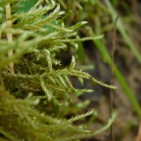
A photograph of the species Helodium paludosum, not of this specimen1843Helodium paludosum (Austin) Austin ex Broth.Plantaein Cranberry Marsh, northern OhioAsa Gray; W. S. SullivantPH PH00111375
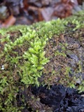
A photograph of the species Hypnum paludosum, not of this specimen1843Hypnum paludosum (Hedw.) P.Beauv.Plantaein Cranberry Marsh, northern OhioA. Gray; W. S. SullivantCINC CINC-B-0043186
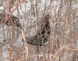
A photograph of the species Bonasa umbellus, not of this specimen1853Bonasa umbellus (Linnaeus, 1766)AnimaliaEden Twp, Licking, Ohio, USAMack, D. (Don)Ohio State University - Bird Division, Columbus, OH (OSUM) OSUM Birds B 8078
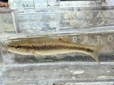
A photograph of the species Semotilus atromaculatus, not of this specimen1863Semotilus atromaculatus (Mitchill, 1818)AnimaliaUsa, Nno-, Ohio*, Ghota Rivernot recordedSMF 23222
A photograph of the species Philomachus pugnax, not of this specimen1872Philomachus pugnax (Linnaeus, 1758)AnimaliaBuckeye Lake, Ohio, USAJasper, T. (Theodore)Ohio State University - Bird Division, Columbus, OH (OSUM) OSUM Birds B 1604
A photograph of the species Pelecanus erythrorhynchos, not of this specimen1874Pelecanus erythrorhynchos Gmelin, 1789AnimaliaLicking Reservoir, Licking, Ohio, USAnot recordedOhio State University - Bird Division, Columbus, OH (OSUM) OSUM Birds B 276
A photograph of the species Calidris canutus, not of this specimen1878Calidris canutus rufa (A.Wilson, 1813)AnimaliaBuckeye Lake Reservoir, Licking, Ohio, USASavage, E. (Ed)Ohio State University - Bird Division, Columbus, OH (OSUM) OSUM Birds B 147
A photograph of the species Lophodytes cucullatus, not of this specimen1878Lophodytes cucullatus (Linnaeus, 1758)AnimaliaLicking Reservoir, Licking, Ohio, USAnot recordedOhio State University - Bird Division, Columbus, OH (OSUM) OSUM Birds B 283

The townships, in 1881

880,617 words

History of Licking County, Ohio: Its Past and Present devotes a chapter to each township: its boundaries and streams, who settled it and when, the mills, the schools and the churches. All 20 are reproduced here in full. Each row shows the township's own shape and where it lies in the county, drawn from the Census Bureau's boundary. Which settlements belong to which township is computed from that same boundary, not taken from the book.

The people it describes

423 named

Everyone History of Licking County, Ohio: Its Past and Present stops to write about, with the section that describes them. Among them are the men who founded the place and governed the Territory. Each name opens the passage itself, in the words of 1881.

Every populated place in the county

87

Named settlements recorded in the Geographic Names Information System, each with the topographic sheets covering it. Villages, hamlets and abandoned places alike. Each is shown with the watercourse or landform it stands on and the survey quadrangle it falls on. The 6 places that were also surveyed for fire insurance come first, with the number of atlases and photographs held for them.

Recorded here

Newark, Ohio

12 topographic sheets and 8 fire insurance atlases, 1884 to 1961

Utica, Ohio

10 topographic sheets and 6 fire insurance atlases, 1893 to 1951

Granville, Ohio

10 topographic sheets and 5 fire insurance atlases, 1896 to 1937

Johnstown, Ohio

11 topographic sheets and 5 fire insurance atlases, 1900 to 1942

Buckeye Lake, Ohio

14 topographic sheets and 3 fire insurance atlases, 1929 to 1946

Hebron, Ohio

14 topographic sheets and 2 fire insurance atlases, 1929 to 1929

Everything this county holds

The complete index, with nothing left out. Each of these is a separate record with its own page: a federal survey report, or the case file that argued a property on to the National Register. Both are public domain and reproduced word for word.

Surveyed structures

2 structures

Nomination case files

49 case files

The vanished settlements of Licking County, the places these records name that are no longer on the map.

Provenance

  • Topographic sheets. USGS Historical Topographic Map Collection, county index, measured from the bulk metadata.
  • Fire insurance maps. Library of Congress Sanborn collection, faceted to this county.
  • Photographs. Each place queried individually against the Library of Congress Prints and Photographs search.
  • Wildfire. Short, Karen C. 2022. Spatial wildfire occurrence data for the United States, 1992-2020 [FPA_FOD_20221014]. 6th Edition. Fort Collins, CO: Forest Service Research Data Archive. https://doi.org/10.2737/RDS-2013-0009.6 Collected with United States Government funding and usable without additional permissions or fees.
  • Specimens. Global Biodiversity Information Facility (GBIF), https://www.gbif.org/. Only records licensed CC0 or CC BY are used. Records licensed CC BY-NC are excluded because this site carries advertising. Images are checked individually and any whose licence is non-commercial, no-derivatives or unreadable is refused.
  • Mines and quarries. USGS Mineral Resources Data System (MRDS) https://mrdata.usgs.gov/mrds/ A work of the United States government, no copyright under 17 U.S.C. 105.
  • Storms. NOAA National Centers for Environmental Information, Storm Events Database https://www.ncei.noaa.gov/stormevents/ A work of the United States government, no copyright under 17 U.S.C. 105. Narratives are quoted verbatim from the National Weather Service report and are not edited or summarised.