 Block
Block
Fullertown, Ohio
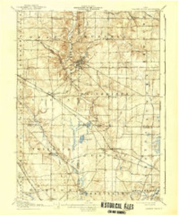
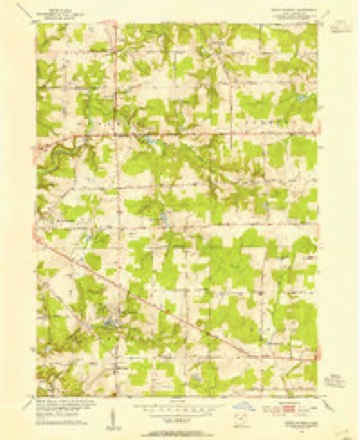
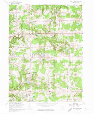
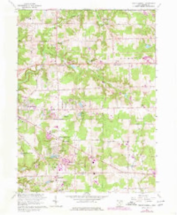
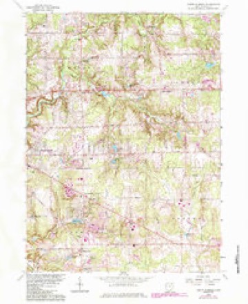
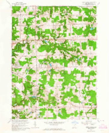
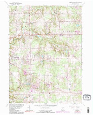
15 topographic sheets cover this place, the earliest surveyed in 1906 and the latest in 1994. It stands in Russell Township. It lies in ZIP code area 44072. The Survey maps it on the South Russell quadrangle.
Then and now
1906 to 1994The same ground, surveyed 88 years apart. Drag the handle to wipe between them. Both sheets are United States Geological Survey originals; neither has been altered.
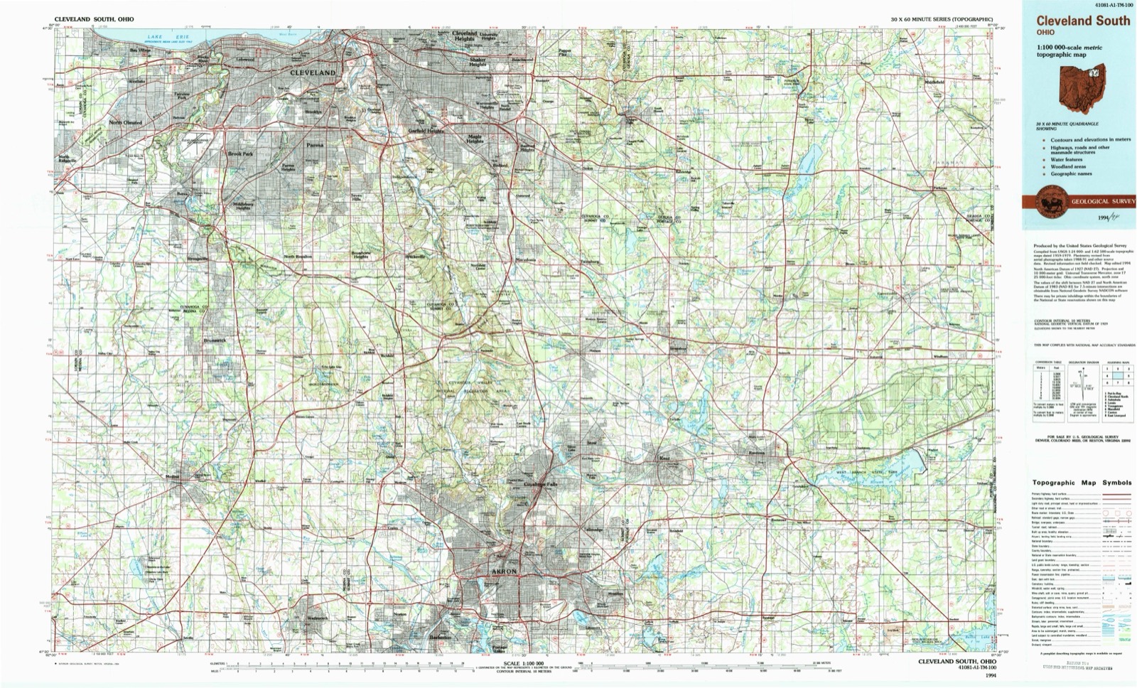
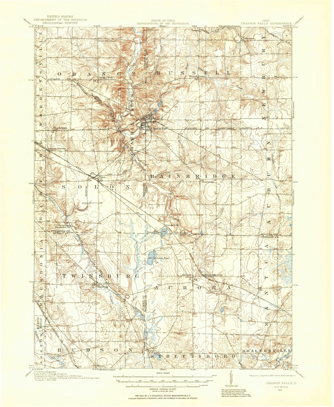
Topographic sheets covering this place
15 sheetsMatched by testing this settlement's coordinate against the published boundary of every sheet in the United States Geological Survey's historical collection. Each opens the scanned sheet at the Survey.
- 1906 USGS Chagrin Falls quadrangle1:62500
- 1908 USGS Chagrin Falls quadrangle1:62500
- 1908 USGS Chagrin Falls quadrangle1:62500
- 1953 USGS South Russell quadrangle1:24000
- 1956 USGS Cleveland quadrangle1:250000
- 1956 USGS Cleveland quadrangle1:250000
- 1956 USGS Cleveland quadrangle1:250000
- 1962 USGS Cleveland quadrangle1:250000
- 1963 USGS South Russell quadrangle1:24000
- 1963 USGS South Russell quadrangle1:24000
- 1963 USGS South Russell quadrangle1:24000
- 1963 USGS South Russell quadrangle1:24000
- 1963 USGS South Russell quadrangle1:24000
- 1986 USGS Cleveland South quadrangle1:100000
- 1994 USGS Cleveland South quadrangle1:100000






What happened here
An account from the chapter on Russell township, The inset identifies its exact source book and publication year.
The Great Freshet
On the morning of September 13, 1878, the Chagrin river rose higher than it had ever been known to rise before. It had been raining steadily for three days, the rain falling in torrents on the night of the twelfth. The destruction of property was very great Cattle, sheep, fences, fields of grain, mill-dams and bridges were swept away.
In the county-history sources
6,754 words on this townshipPioneer and General History of Geauga County, with Sketches of Some of the Pioneers and Prominent Men, published 1880 names this settlement in its chapter on Russell Township. These are the passages that mention it, exactly as the scans read.
The first settlers were the Russell family, consisting of Gideon Russell, wife and five children - three sons and two daughters, namely: Ebenezer, William, Alpheus, Jemima, and Sally. They moved into the woods, in the year 1818, on the Chillicothe road, a little south of the center of the township. For about two years they were the only inhabitants that we know of. In the fall of 1820 Mr. Simeon Norten moved in with his family, consisting of himself and his wife, Sally, and one daughter, Melinda. He built a split and hewed log house, which is now standing, about half a mile south of the center on the north part of what is now known as the Benjamin Mathews farm, but was then the Russell farm. The house has been removed. It was built by Mj. Norton back from the Chillicothe road some sixty rods or more, near a spring and not far from a road that was laid out from Cleveland to Warren, and partially opened for travel. The Norton family w*as the second in town, and Orson Norton, the pioneer baby, was born on the thirty-first day of March, 1821, being the first white child born in Russell, now living in Solon. Mr. Norton moved, in the fall of 1821, to what was then known as the Eggleston Mills, in the southwest part of Bainbridge, now owned by James Fuller, son of Thomas Fuller the founder of Fullertown, at the northeast corner of Russell, in 1821 or 1822.
Passage source: Pioneer and General History of Geauga County, with Sketches of Some of the Pioneers and Prominent Men, published 1880.
Russell township lies about fourteen miles south of Lake Erie, and is generally of a rolling or uneven surface, and yet not very hilly; not much swampy or waste land in the township. There is a large quantity of sandstone, suitable for building and bridging purposes, in a great portion of the township. In almost every part of the east half nice sandstone quarries may be found, and in a part of the southwest quarter. The north branch of the Chagrin river rises in Munson, and is the outlet of Bass lake, or what used to be called Munson pond. There was a project talked of at one time by the mill owners at Chagrin Falls, and along the stream, of making a dam at the outlet of the lake, and putting in a floom and gate, thus making a large reservoir to supply the mills in a dry time, but has not yet been done. The river comes to this town not far from the northeast corner, at Fullertown. Thomas Fuller built a saw- and grist-mill, on the river, in the northwest corner of New'bury, about 1822, and about 1847, built his new grist-mill, a little way down the stream, in Russell, and it has been doing a good business about thirty years. This northeast corner of the township was not settled very much until about 1834. Lester Alexander, William Buck, Levi Savage, and some others came before. Charles Jackson bought the corner lot. Richard Iadowr came from Onondaga county, Newr York, in 1835. Jonathan Danforth, in 1836, bought of General Simon Perkins, agent for heirs of Daniel L. Coit, of Connecticut, at five dollars per acre; then Henry Cummins, William Wyckofif, Elder Willis, James M. Smith, and others. \
Passage source: Pioneer and General History of Geauga County, with Sketches of Some of the Pioneers and Prominent Men, published 1880.
Machine-read from a century-old scan, so expect the errors a machine makes: misspelled names, dropped words, stray characters.
Specimens collected near this place
12 of 2,946 shownRegional context, not property-specific evidence. Museums hold 2,946 specimens collected within 10 miles of Fullertown between 1887 and 1975: 2,832 Animalia, 105 Plantae, 9 Fungi. 12 distinct Species records are shown. Collected by A. Hoenigman, A. M. Evans, A. Woolman and others. Each is a physical object with a catalogue number, and each entry opens the museum's record. This is what was collected and kept, not a survey of what lives here - nothing can be concluded from a species being absent.
| Image | Species | Year | Collected by | Where, as recorded |
|---|---|---|---|---|
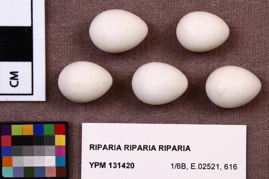 | Riparia riparia riparia (Linnaeus, 1758) | 1891 | Fred Haggart | |
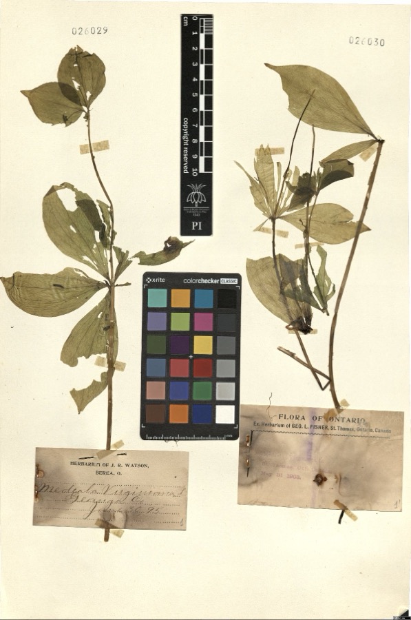 | Medeola virginiana L. | 1895 | Watson,J.R. s.n. [1895-06-30] | [label: Herbarium of J.R. Watson, Berea, O.] Geauga Co. [County] |
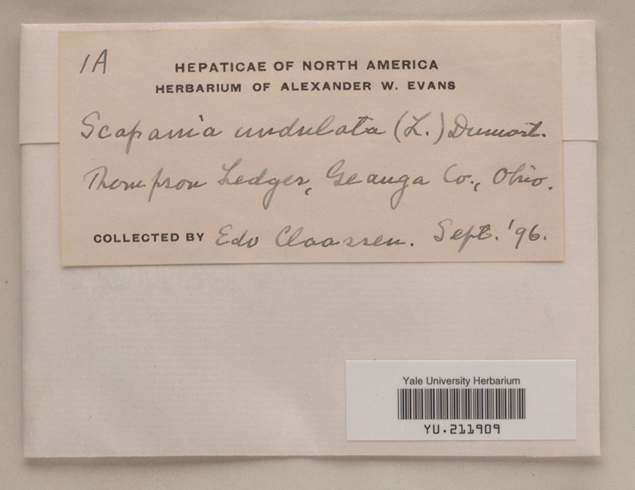 | Scapania undulata (L.) Dumort. | 1896 | Edo N. Claassen | Thompson Ledges |
 | Dryopteris marginalis (L.) A.Gray | 1887 | Leonard, F.E. | Munson |
 | Melospiza georgiana (Latham, 1790) | 1889 | Collector(s): F. S. Haggart | No specific locality recorded. |
 | Etheostoma caeruleum Storer, 1845 | 1893 | A. Woolman | Aurora Branch, Chagrin River, Ohio |
 | Etheostoma nigrum Rafinesque, 1820 | 1893 | A. Woolman | Aurora Branch, Chagrin River, Ohio |
 | Nocomis micropogon (Cope, 1865) | 1893 | A. Woolman | Aurora Branch, Chagrin River, Ohio |
 | Noturus flavus Rafinesque, 1818 | 1893 | A. Woolman | Aurora Branch, Chagrin River, Ohio |
 | Rhinichthys atratulus (Hermann, 1804) | 1893 | Woolman | Aurora branch of Chagrin River, Ohio |
 | Cypripedium reginae Walter | 1896 | J. R. Watson | Geauga |
 | Stachys cordata Riddell | 1896 | Guttenberg, G. | Burton |
All 2,946 specimens within 10 miles, at the Global Biodiversity Information Facility.
Mines and quarries near this place
2 within 5 milesRegional context, not property-specific evidence. The federal mineral resources record lists 2 workings within 5 miles of Fullertown: 1 past producer, 1 producer. 1 still produces. What was taken out: Sand and Gravel, Construction. Distance is straight-line from the map coordinates, so a quarry counted here may appear on a neighbouring settlement's page as well.
| Where | Site | Commodity | Status | Recorded |
|---|---|---|---|---|
| Teague Sand and Gravel Pit | Sand and Gravel, Construction | Past Producer | Sedimentary | |
| Teague Sand and Gravel Pit | Sand and Gravel, Construction | Producer |
Storms near this place
1 since 2024Regional context, not property-specific evidence. The National Weather Service names Fullertown in 1 storm report between 2024 and 2024: 1 thunderstorm wind. No death or injury is recorded in these reports. Each account below is quoted exactly as the forecast office filed it, from the NOAA Storm Events Database, and each date opens the federal record of that event.
| When | Event | Place named | Harm | What the report says |
|---|---|---|---|---|
| August 2024 | Thunderstorm Wind | Fullertown | - | Large trees and tree limbs downed in Newbury Township. |
Nearest settlements
The eight closest, with where each one stands in the county. Distances are straight-line, computed from the Geographic Names Information System coordinates.
| Map | Place | Distance | Sheets |
|---|---|---|---|
| Beudale (historical) | 1.3 miles | 15 | |
| Yates Corners | 2.1 miles | 15 | |
| Briar Hill Corners | 2.2 miles | 15 | |
| Novelty | 2.2 miles | 15 | |
| Chesterland | 2.9 miles | 13 | |
| Russell Center | 3.0 miles | 15 | |
| Fowlers Mill | 3.3 miles | 13 | |
| Newbury Center | 3.5 miles | 14 |
Elsewhere
Matched on this settlement's Geographic Names Information System number rather than its name, so it cannot be a different place of the same name in another state.
| Wikipedia article on Fullertown | An encyclopaedic summary. Its text is share-alike, so it is linked here rather than copied. |
| Wikidata item Q22695647 | The structured record the population and elevation above come from. Public domain (CC0). |
Provenance
This settlement is recorded in the Geographic Names Information System as feature 1064693. The sheet list is computed by point-in-boundary test against the United States Geological Survey's historical topographic inventory. Both are works of the United States government and carry no copyright under 17 U.S.C. 105.
Specimens. Global Biodiversity Information Facility (GBIF), https://www.gbif.org/. Only records licensed CC0 or CC BY are used. Records licensed CC BY-NC are excluded because this site carries advertising. Images are checked individually and any whose licence is non-commercial, no-derivatives or unreadable is refused.
Mines and quarries. USGS Mineral Resources Data System (MRDS) https://mrdata.usgs.gov/mrds/ A work of the United States government, no copyright under 17 U.S.C. 105.
Storms. NOAA National Centers for Environmental Information, Storm Events Database https://www.ncei.noaa.gov/stormevents/ A work of the United States government, no copyright under 17 U.S.C. 105. Narratives are quoted verbatim from the National Weather Service report and are not edited or summarised.