 Block
Block
Goshen, Ohio
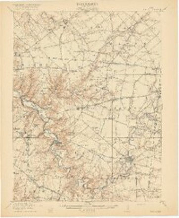
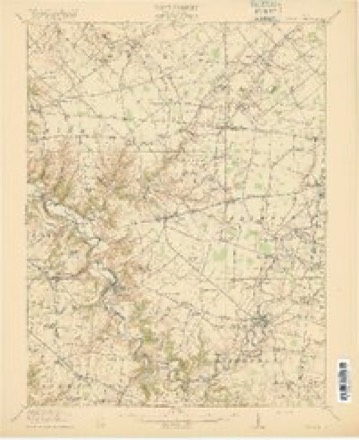
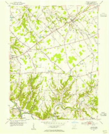
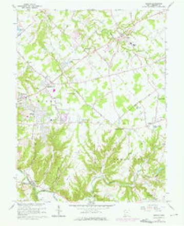
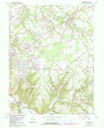
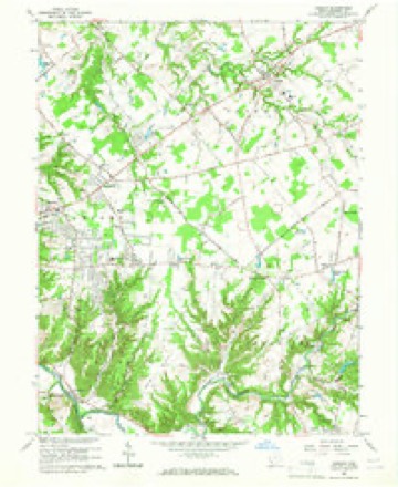
16 topographic sheets cover this place, the earliest surveyed in 1914 and the latest in 1986. It stands in Goshen Township. It lies in ZIP code area 45122. It stands on Indiancamp Creek. The Survey maps it on the Goshen quadrangle. 715 people lived here at the 2020 count. It stands 837 feet above sea level.
Then and now
1914 to 1986The same ground, surveyed 72 years apart. Drag the handle to wipe between them. Both sheets are United States Geological Survey originals; neither has been altered.

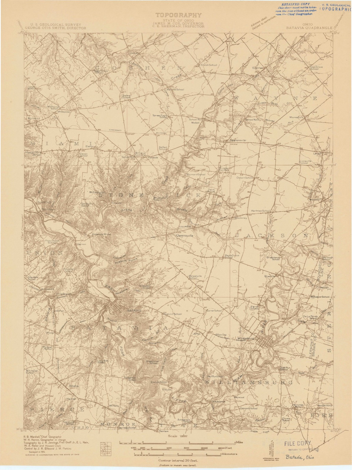
Topographic sheets covering this place
16 sheetsMatched by testing this settlement's coordinate against the published boundary of every sheet in the United States Geological Survey's historical collection. Each opens the scanned sheet at the Survey.
- 1914 USGS Batavia quadrangle1:48000
- 1916 USGS Batavia quadrangle1:62500
- 1916 USGS Batavia quadrangle1:62500
- 1916 USGS Batavia quadrangle1:62500
- 1916 USGS Batavia quadrangle1:62500
- 1953 USGS Cincinnati quadrangle1:250000
- 1953 USGS Cincinnati quadrangle1:250000
- 1953 USGS Cincinnati quadrangle1:250000
- 1953 USGS Goshen quadrangle1:24000
- 1957 USGS Cincinnati quadrangle1:250000
- 1965 USGS Goshen quadrangle1:24000
- 1965 USGS Goshen quadrangle1:24000
- 1965 USGS Goshen quadrangle1:24000
- 1986 USGS Cincinnati quadrangle1:100000
- 1986 USGS Cincinnati quadrangle1:100000
- 1986 USGS Cincinnati quadrangle1:100000







Specimens collected nearby
12 of 1,394 shownMuseums hold 1,394 specimens collected within 10 miles of Goshen between 1850 and 1975: 955 Fungi, 325 Animalia, 72 Plantae, 39 Protozoa, 2 Unrecorded, 1 Chromista. 12 distinct Species records are shown. Collected by 14753, A JOHN, A JOHN AND R KNOTTS and others. Each is a physical object with a catalogue number, and each entry opens the museum's record. This is what was collected and kept, not a survey of what lives here - nothing can be concluded from a species being absent.
| Image | Species | Year | Collected by | Where, as recorded |
|---|---|---|---|---|
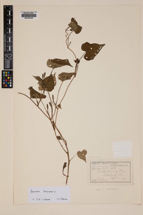 | Ipomoea lacunosa L. | 1877 | Joseph Francis James | Loveland |
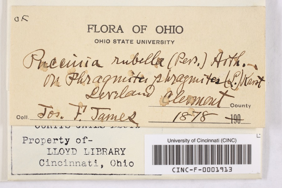 | Puccinia rubella (Pers. ex J.F.Gmel.) Arthur | 1878 | James, F. | Loveland |
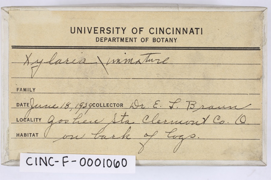 | Xylaria Hill ex Schrank, 1789 | 1929 | Braun, E. Lucy | Goshen |
 | Fomes applanatus (Pers.) Fr. | 1850 | James D. L. | Loveland |
 | Eragrostis cilianensis (All.) Vignolo ex Janch. | 1877 | James, J.F. | Loveland |
 | Polyporus hirsutus (Wulfen) Fr. | 1877 | James D. L. | Loveland |
 | Rumex altissimus Wood | 1877 | J. F. James | Loveland. |
 | Trifolium stoloniferum Muhl. | 1877 | J. F. James | Miamiville |
 | Fomes scutellatus (Schwein.) Cooke | 1878 | James D. L. | Loveland |
 | Justicia americana (L.) Vahl | 1878 | Lloyd, Curtis Gates | Loveland |
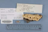 | Polyporus adustus (Willd.) Fr. | 1879 | James D. L. | Loveland |
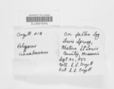 | Polyporus cinnabarinus (Jacq.) Fr. | 1879 | James D. L. | Loveland |
All 1,394 specimens within 10 miles, at the Global Biodiversity Information Facility.
Storms nearby
34 since 1996The National Weather Service names Goshen in 34 storm reports between 1996 and 2025: 20 thunderstorm wind, 7 hail, 4 flash flood, 2 tornado. The reports record 2 injuries. Each account below is quoted exactly as the forecast office filed it, from the NOAA Storm Events Database, and each date opens the federal record of that event.
| When | Event | Place named | Harm | What the report says |
|---|---|---|---|---|
| July 2022 | Tornado (EF2) | Goshen | 2 hurt, $3,000,000 | The tornado touched down along Blue Sky Drive where several barns were damaged and multiple trees were uprooted and snapped. Additional damage consisting of dozens of snapped and uprooted trees occurred just southeast of the Huntley Road and Goshen Road intersection.||As the tornado approached Goshen, it rapidly strengthened and grew to around 500 yards in width. The tornado crossed Main Street, just to the west of State Route 28, causing significant damage to a couple of businesses. An insurance agency completely lost its roof and several of the exterior walls collapsed. A woman inside the business was transported to the hospital with non-life threatening injuries. The large and strong tornado then crossed State Route 28, significantly damaging a fire station and causing complete roof loss to a brick business next door. Most of the exterior walls on|the business also collapsed. A firefighter at the fire station also suffered minor injuries. This was the strongest point in the tornado life cycle with winds estimated around 130 mph.||The tornado continued moving southeast along Goshen Road, snapping hundreds of trees and causing at least six more homes to completely lose their roofs. A couple of additional homes also had some failure of exterior walls. The tornado struck both the middle and high schools causing some roof and siding damage. The tornado continued moving to the southeast crossing Woodville Pike near its intersection with Manila Road. The tornado then crossed Moler Road where it completely destroyed a barn and downed dozens of trees. Based on aerial footage, the tornado likely lifted somewhere between Moler Road and Cedarville Road. |
| July 2006 | Tornado (F1) | Goshen | $100,000 | A tornado carved a path extending about a mile to the southwest of Goshen. Significant damage occurred near the intersection of State Routes 28 and 48. Numerous healthy trees, some to three feet in diameter, were uprooted and fell in various directions along the tornado path. In a nearby cemetery, tombstones were knocked down in different directions. Several homes in the vicinity of the cemetery sustained structural damage to roofs. The tornado produced F1 damage in this area. Additional damage occurred just outside of Goshen. A trailer was shifted a few inches off of its foundation along Deerfield Road. Two businesses sustained minor damage near Phoenix Drive and Snider Road. One of the businesses had a large door blown out with heavy inventory shifted inside the building. The second building sustained roof damage with some shingles removed. This damage just outside of Goshen was classified as F0. |
| June 2008 | Thunderstorm Wind | Goshen | $40,000 | Several homes sustained roof damage, and numerous trees were knocked down across Goshen Township. The damage was determined to be caused by straight-line winds estimated at 70 mph. |
| March 2025 | Thunderstorm Wind | Goshen | $15,000 | Several power poles were downed. |
| May 2009 | Hail | Goshen | $12,000 | no account filed |
| April 2020 | Thunderstorm Wind | Goshen | $10,000 | The Emergency Manager had multiple reports of trees down. |
| July 2016 | Thunderstorm Wind | Goshen | $10,000 | Several trees and power lines were downed in the Goshen area and across portions of Miami Township. A tree fell onto a house on Dry Run Road. |
| June 1998 | Thunderstorm Wind | Goshen | $10,000 | Numerous trees downed. |
| May 2022 | Thunderstorm Wind | Goshen | $8,000 | A few trees and power lines were downed. |
| September 2025 | Thunderstorm Wind | Goshen | $6,000 | Several mature trees were downed onto power lines. |
| June 1999 | Thunderstorm Wind | Goshen | $6,000 | A large tree fell on a house. Also, numerous trees were downed in Miami Township causing several power outages. |
| May 2012 | Thunderstorm Wind | Goshen | $5,000 | A tree fell on the roof of a house due to damaging thunderstorm winds. |
| January 1997 | Thunderstorm Wind | Goshen | $5,000 | no account filed |
| August 2024 | Thunderstorm Wind | Goshen | $4,000 | A few trees were downed along Woodville Pike. |
| May 2012 | Flash Flood | Goshen | $3,000 | A woman was trapped in her car in flood waters caused by heavy rain. |
| November 2011 | Thunderstorm Wind | Goshen | $3,000 | Power lines were down along a road and a large tree branch was blocking a road due to damaging thunderstorm winds. |
| June 2006 | Thunderstorm Wind | Goshen | $3,000 | Several trees were downed in Miami Township. |
| June 2001 | Flash Flood | Goshen | $3,000 | Streets and roads flooded |
| July 1999 | Thunderstorm Wind | Goshen | $3,000 | Trees knocked down. |
| April 2007 | Hail | Goshen | $2,000 | no account filed |
| May 2019 | Thunderstorm Wind | Goshen | $1,000 | A tree was downed. |
| June 2018 | Thunderstorm Wind | Goshen | $1,000 | One tree was knocked down. |
| July 2013 | Flash Flood | Goshen | $1,000 | Numerous roads were closed due to high water over one foot deep in some locations due to heavy rainfall. |
| July 2013 | Thunderstorm Wind | Goshen | $1,000 | One tree was downed on Shiloh Road near Goshen due to thunderstorm winds. |
| June 2012 | Thunderstorm Wind | Goshen | $1,000 | One tree was uprooted due to damaging thunderstorm winds. |
| September 2012 | Thunderstorm Wind | Goshen | $1,000 | Large branches were broken near Goshen due to damaging thunderstorm winds. |
| January 2023 | Thunderstorm Wind | Goshen | $250 | A small tree was downed on Fay Road. |
| April 2025 | Flood | Goshen | - | High water was reported on several roads in Goshen Township. |
| June 2019 | Flash Flood | Goshen | - | Numerous roads were closed in the Goshen Township area due to high water and flash flooding. |
| May 2022 | Hail | Goshen | - | no account filed |
| March 2019 | Hail | Goshen | - | no account filed |
| July 2012 | Hail | Goshen | - | no account filed |
| July 2012 | Hail | Goshen | - | no account filed |
| May 1996 | Hail | Goshen | - | no account filed |
Nearest settlements
The eight closest, with where each one stands in the county. Distances are straight-line, computed from the Geographic Names Information System coordinates.
| Map | Place | Distance | Sheets |
|---|---|---|---|
| Springvale | 1.9 miles | 16 | |
| Hills | 2.1 miles | 14 | |
| Shiloh | 2.8 miles | 15 | |
| Modest | 4.0 miles | 15 | |
| Mount Repose | 4.0 miles | 16 | |
| Belfast | 4.2 miles | 16 | |
| Williams Corners | 4.2 miles | 16 | |
| Ashdale | 4.2 miles | 16 |
Elsewhere
Matched on this settlement's Geographic Names Information System number rather than its name, so it cannot be a different place of the same name in another state.
| Wikipedia article on Goshen | An encyclopaedic summary. Its text is share-alike, so it is linked here rather than copied. |
| Wikidata item Q5587251 | The structured record the population and elevation above come from. Public domain (CC0). |
Provenance
This settlement is recorded in the Geographic Names Information System as feature 1048797. The sheet list is computed by point-in-boundary test against the United States Geological Survey's historical topographic inventory. Both are works of the United States government and carry no copyright under 17 U.S.C. 105.
Specimens. Global Biodiversity Information Facility (GBIF), https://www.gbif.org/. Only records licensed CC0 or CC BY are used. Records licensed CC BY-NC are excluded because this site carries advertising. Images are checked individually and any whose licence is non-commercial, no-derivatives or unreadable is refused.
Storms. NOAA National Centers for Environmental Information, Storm Events Database https://www.ncei.noaa.gov/stormevents/ A work of the United States government, no copyright under 17 U.S.C. 105. Narratives are quoted verbatim from the National Weather Service report and are not edited or summarised.