 Block
Block
Granger, Ohio
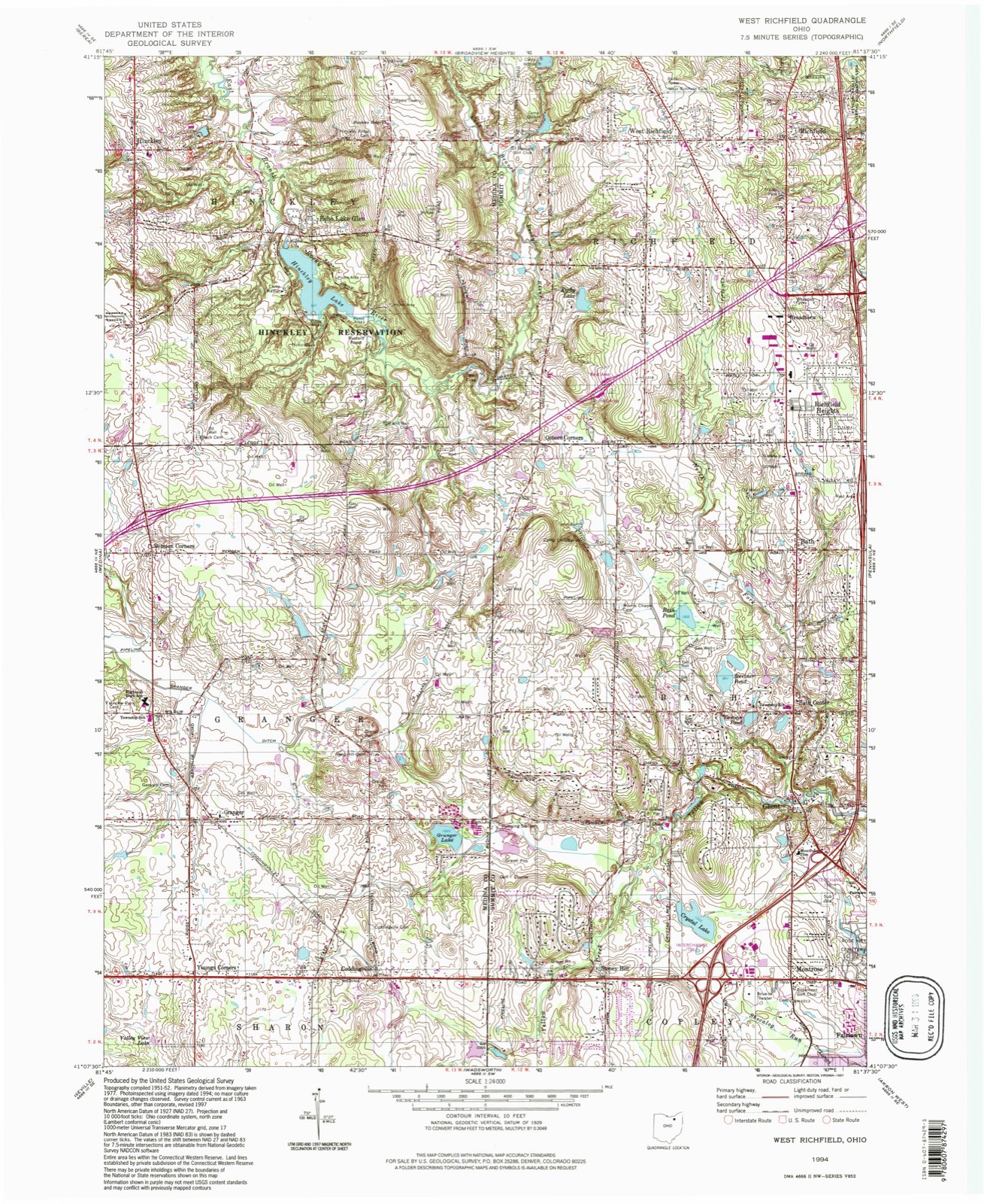
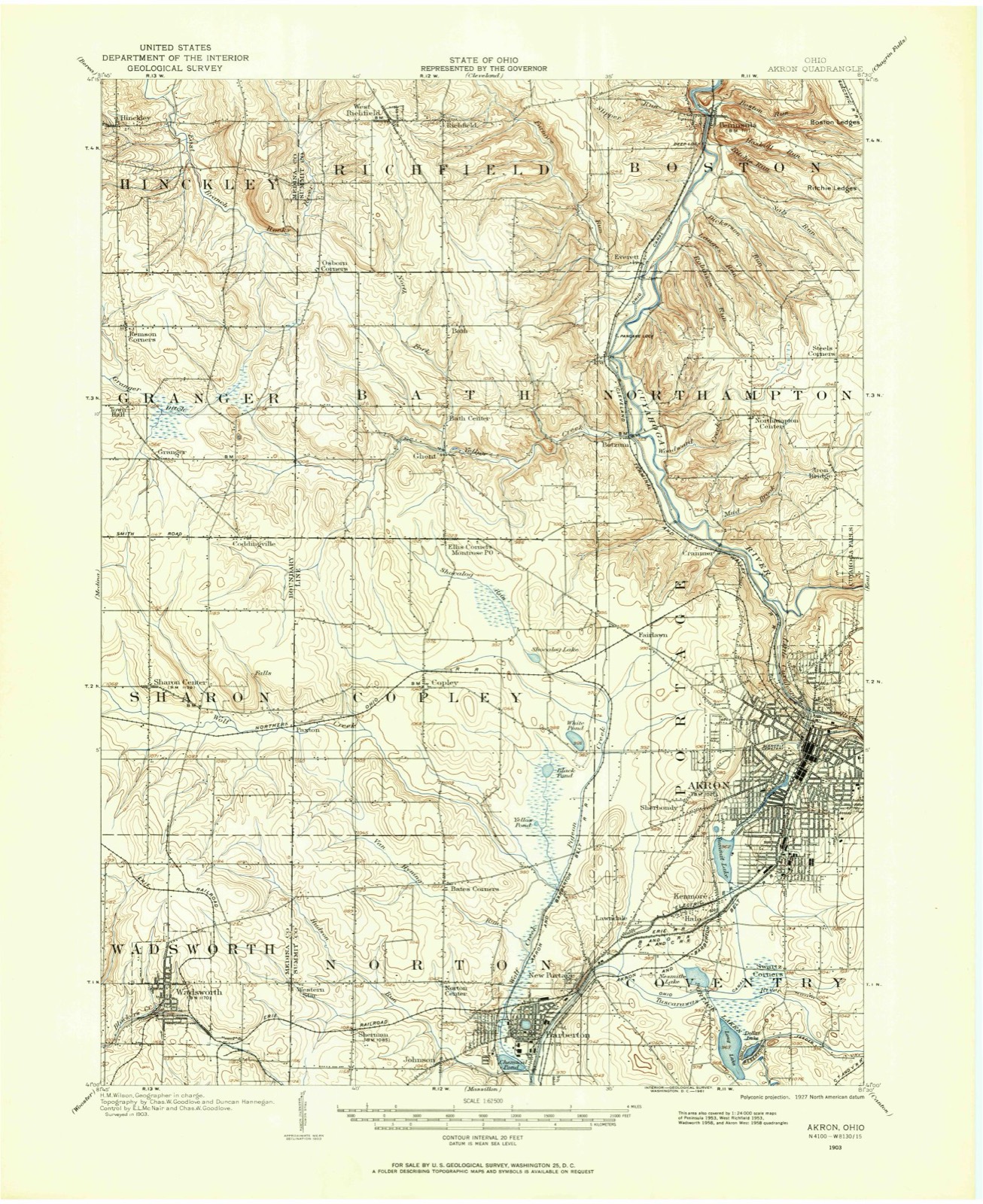
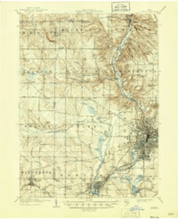
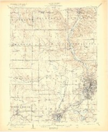
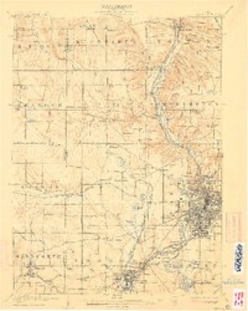
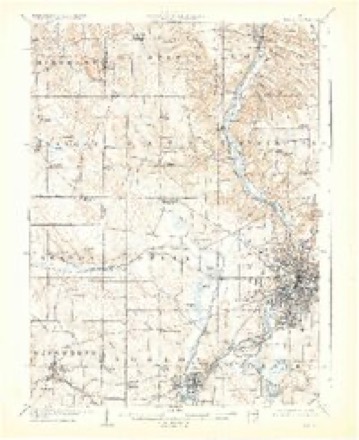
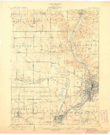
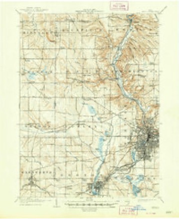
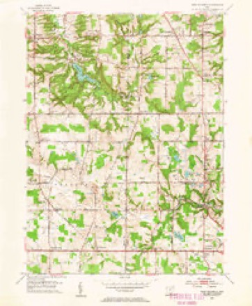
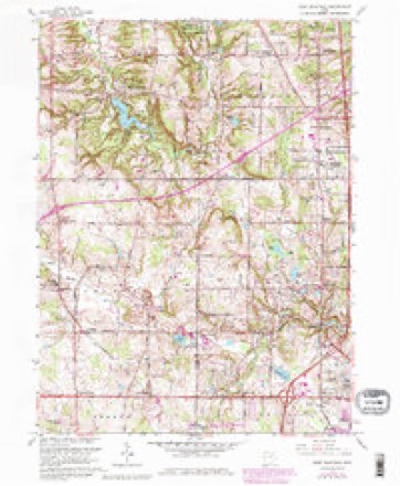
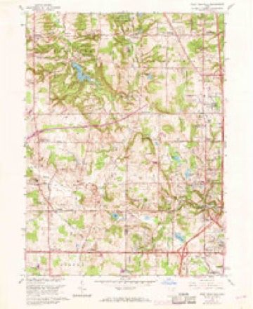
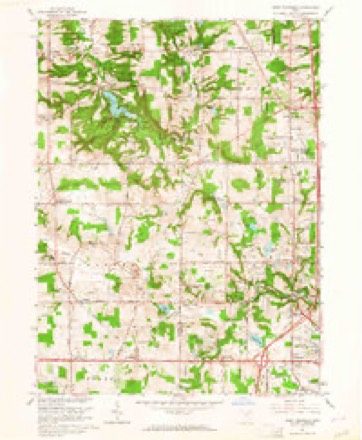
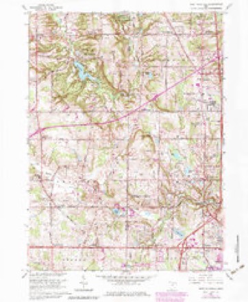
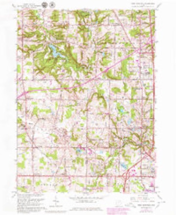
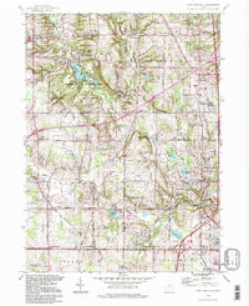
21 topographic sheets cover this place, the earliest surveyed in 1903 and the latest in 1994. It stands in Granger Township. It lies in ZIP code area 44256. It stands on Reeds Hill. The Survey maps it on the West Richfield quadrangle.
Then and now
1903 to 1994The same ground, surveyed 91 years apart. Drag the handle to wipe between them. Both sheets are United States Geological Survey originals; neither has been altered.
Compare 1903 against another survey:
Topographic sheets covering this place
21 sheetsMatched by testing this settlement's coordinate against the published boundary of every sheet in the United States Geological Survey's historical collection. Each opens the scanned sheet at the Survey.
- 1903 USGS Akron quadrangle1:62500
- 1905 USGS Akron quadrangle1:62500
- 1905 USGS Akron quadrangle1:62500
- 1905 USGS Akron quadrangle1:62500
- 1905 USGS Akron quadrangle1:62500
- 1905 USGS Akron quadrangle1:62500
- 1905 USGS Akron quadrangle1:62500
- 1905 USGS Akron quadrangle1:62500
- 1953 USGS West Richfield quadrangle1:24000
- 1956 USGS Cleveland quadrangle1:250000
- 1956 USGS Cleveland quadrangle1:250000
- 1956 USGS Cleveland quadrangle1:250000
- 1962 USGS Cleveland quadrangle1:250000
- 1963 USGS West Richfield quadrangle1:24000
- 1963 USGS West Richfield quadrangle1:24000
- 1963 USGS West Richfield quadrangle1:24000
- 1963 USGS West Richfield quadrangle1:24000
- 1963 USGS West Richfield quadrangle1:24000
- 1986 USGS Cleveland South quadrangle1:100000
- 1994 USGS Cleveland South quadrangle1:100000
- 1994 USGS West Richfield quadrangle1:24000






In the county-history sources
4,261 words on this townshipPioneer History of Medina County, published 1861 names this settlement in its chapter on Granger Township. These are the passages that mention it, exactly as the scans read.
Becoming acquainted with Judge Oliver Phelps, then the owner of Granger township, my father visited that township in 1807 and found it wholly unsettled. Being pleased with appearances of soil, timber and its other natural advantages, he made a selection of three hundred and seventy acres, now comprised in the three lots owned by Isaac Low, C. 11. Spencer and Job Green. He went from Granger to Warren, Trumbull county, and contracted with Calvin Austin, agent of Phelps, for the land, and paid the sum required. Some time thereafter Phelps became insolvent, his title to lands seized by creditors and sold. My father having purchased on contract, was forced to loose what he had paid, and was again prevented from being a land holder. He resided in Beaver county until 1815, when he removed to Columbiana county, Ohio. In 1818 he again came to Granger, bought by article the lot now owned by Job Green, and settled thereon, and for six years struggled through the many hardships incident to first settlers. About the time his article expired he found himself unable to make payment, owing to want of price for produce. He sold his claim to his sons William, Samuel and Nathaniel, who continued to reside there and make improvements. In 1824 I became, by purchase, sole owner, concluded to select another locality, sold my right to land in Granger township and moved into Bath township, Summit county, where I now (1861) reside.
Passage source: Pioneer History of Medina County, published 1861.
I must now make a break in my history, otherwise the pioneer community will cast me out of the synagogue. In 1810, in company with my uncle Gibson Gates and Hezekiah Burdick (two of the first settlers in Bath) I left the home of my father, traveled by way of Vannatt's Ford on the Mahoning river to the house of Gates in Bath. I remained there until August of that year, when, in company with Gates and John Manning, I started for Granger township. Our road (old settlers called it course) was through Richfield by way of L. May (now widow Biglow's land,) thence westwardly to Panther Cave in Hinckley. We visited that cave in search of game, but saw no panthers. From thence we traveled to where an Indian gallows was standing in the big bend of the Rocky River. In 1806, a squaw had been hung there, charged with witchcraft. The squaw had said that there would be darkness on the face of tlie earth in June, which the ignorant Indians decided to be undoubted proof of witchery. She was hung in May, and on the 13th of June, 1806, there was an eclipse of the sun. After viewing the gallows, we traveled on southerly, and at night encamped under a ledge of rocks near where Isaac Low now resides, about thirty rods from the last named place. I at that time, carved the initials of my name on a beach tree which can be seen to this day. After feasting on wild turkey, for breakfast, we pursued our course and came on to the " Smith Road," about where the Squaw Tavern now stands. This was my first visit into and through Granger. It was then truly a wilderness ; the marks of the pioneers were few. When my rememberance brings to mental view those times and contrast the changes, I am astonished, and must say that greater improvements are now seen than the most sagacious then anticipated.
Passage source: Pioneer History of Medina County, published 1861.
When winter fairly set in, I started for Granger in company with Dan Mallet, intending to make hunting our main business for some weeks. For some time we killed many small game. After some days we found a long-legged bear in an alder swamp. When he discovered us he commenced a retreat. As he passed near me I fired, but without effect. The two dogs next attacked him, which he siezed, and commenced hugging and biting them. I reloaded and fired a second time, the ball disabling his we-leg, when he immediately let go of the dogs and commenced biting his maimed limb. After venting his spleen upon the maimed limb, in despite of dogs, he came toward me in a very menacing manner. I retreated rapidly, but reloaded as I ran, and when fully prepared wheeled about and fired. The ball took lodgment in the mad bruins jaw, causing it to hang downward. At this juncture, Mallett came up to the chase from the opposite side of the swamp, and taking deliberate aim lodged a ball in the brain of the bear and ended the contest and the race. The next day we procured an old horse, on which we carried to Liverpool the game we had shot during our hunting excursion. In those days an axe and rifle constituted my chattel property, and it then seemed to me that I had all that was necessary.
Passage source: Pioneer History of Medina County, published 1861.
Machine-read from a century-old scan, so expect the errors a machine makes: misspelled names, dropped words, stray characters.
Read the whole chapter on Granger Township - it names this place 7 more 7 times.
Specimens collected near this place
12 of 329 shownRegional context, not property-specific evidence. Museums hold 329 specimens collected within 10 miles of Granger between 1884 and 1975: 292 Animalia, 31 Plantae, 5 Fungi, 1 Protozoa. 12 distinct Species records are shown. Collected by A. D. Huryn, Ashcroft, G.B.; O. Berea, Ashcroft,G.B. s.n. [1897-05] and others. Each is a physical object with a catalogue number, and each entry opens the museum's record. This is what was collected and kept, not a survey of what lives here - nothing can be concluded from a species being absent.
| Image | Species | Year | Collected by | Where, as recorded |
|---|---|---|---|---|
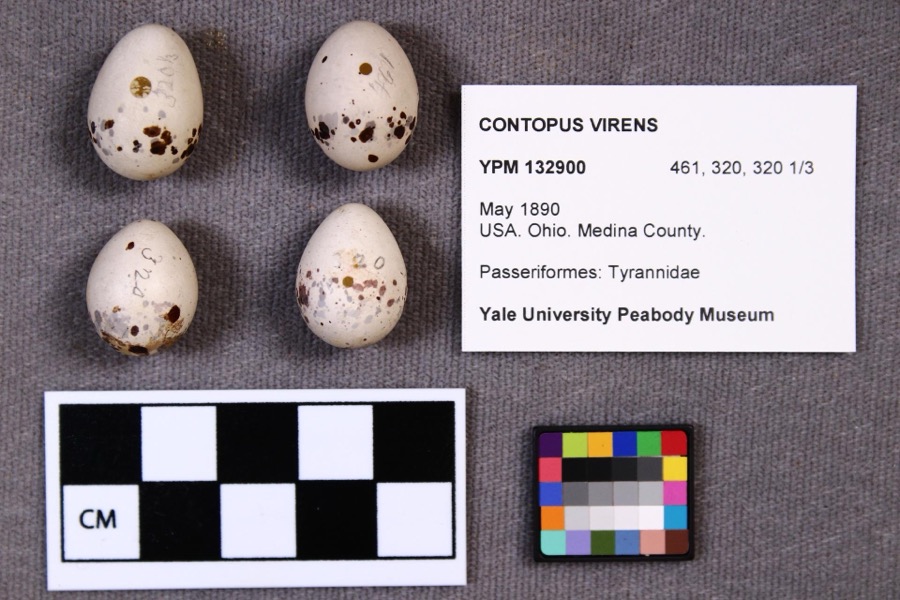 | Contopus virens (Linnaeus, 1766) | 1890 | not recorded | |
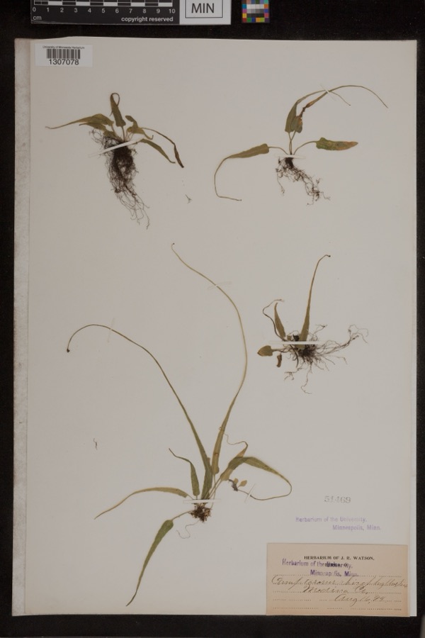 | Camptosorus rhizophyllus (L.) Link | 1894 | Watson, J.R. | Medina Co. |
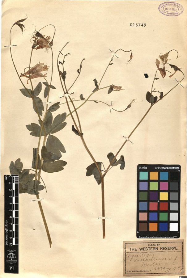 | Aquilegia canadensis L. | 1897 | Ashcroft,G.B. s.n. [1897-05] | [label: Flora of the Western Reserve] Medina O. [Ohio] |
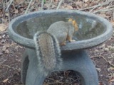 | Sciurus niger Linnaeus, 1758 | 1884 | unknown | Medina |
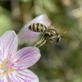 | Halictus confusus confusus | 1885 | H. E. Summers | Medina |
 | Mougeotia genuflexa (Roth) C.Agardh | 1896 | F. D. Kelsey | Plum Creek |
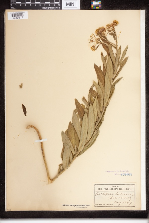 | Asclepias tuberosa subsp. interior Woodson | 1897 | Ashcroft, G.B.; O. Berea | The Western Reserve. Brunswick |
 | Culicoides guttipennis (Coquillett, 1901) | 1897 | J. Hine | Medina |
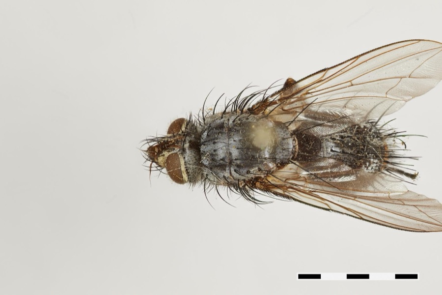 | Hinea Townsend, 1916 | 1897 | J. Hine | Medina |
 | Platanthera psycodes (L.) Lindl. | 1897 | G. B. Ashcroft | Brunswick |
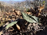 | Aplectrum hyemale (Muhl. ex Willd.) Nutt. | 1898 | Illegible collector name | Medina |
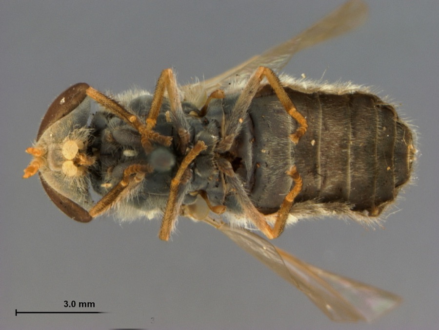 | Tabanus pruniosus Hine, 1900 | 1899 | [Not Stated] | Medina |
All 329 specimens within 10 miles, at the Global Biodiversity Information Facility.
Mines and quarries near this place
2 within 5 milesRegional context, not property-specific evidence. The federal mineral resources record lists 2 workings within 5 miles of Granger: 1 past producer, 1 producer. 1 still produces. What was taken out: Sand and Gravel, Construction, Stone, Crushed/Broken. Distance is straight-line from the map coordinates, so a quarry counted here may appear on a neighbouring settlement's page as well.
| Where | Site | Commodity | Status | Recorded |
|---|---|---|---|---|
| Piqua Quarry | Stone, Crushed/Broken | Producer | ||
| Sharon Center Pit | Sand and Gravel, Construction | Past Producer | Sedimentary |
Storms near this place
7 since 1999Regional context, not property-specific evidence. The National Weather Service names Granger in 7 storm reports between 1999 and 2016: 5 thunderstorm wind, 1 flood, 1 hail. No death or injury is recorded in these reports. Each account below is quoted exactly as the forecast office filed it, from the NOAA Storm Events Database, and each date opens the federal record of that event.
| When | Event | Place named | Harm | What the report says |
|---|---|---|---|---|
| August 2009 | Thunderstorm Wind | Granger | $400,000 | A newspaper article reported that numerous trees were downed in Granger Township. Some of the fallen trees landed on homes causing damage. One farm in the township suffered damage as a barn had much of its roof blown off causing substantial damage. A grain dryer was knocked over as well. Many roads in the township were impassable from the fallen trees. There were a few reports of power outages. |
| June 2015 | Flood | Granger | $40,000 | Heavy rainfall near the Summit/Medina County line caused damage to a home in Wadsworth. A rain gauge just north of Wadsworth recorded 3.85 of rainfall for the day of the event. The resultant runoff from the rains that day overwhelmed a clogged storm drain which severely damaged a Wadsworth home causing their basement wall to collapse. |
| July 2003 | Thunderstorm Wind | Granger | $25,000 | Thunderstorm winds downed many trees. |
| July 1999 | Thunderstorm Wind | Granger | $25,000 | Several trees fell on power lines knocking power out to over 5,000 people. |
| June 2004 | Thunderstorm Wind | Granger | $4,000 | Thunderstorm winds downed a couple trees in Granger Township. |
| June 2016 | Thunderstorm Wind | Granger | $1,000 | Thunderstorm winds downed a tree along Dunsha Road. |
| July 2016 | Hail | Granger | - | A trained weather spotter reported nickel size hail. |
Nearest settlements
The eight closest, with where each one stands in the county. Distances are straight-line, computed from the Geographic Names Information System coordinates.
| Map | Place | Distance | Sheets |
|---|---|---|---|
| Youngs Corners | 1.4 miles | 21 | |
| Coddingville | 1.9 miles | 21 | |
| Remsen Corners | 2.3 miles | 21 | |
| Windfall | 3.1 miles | 13 | |
| Sharon Center | 3.9 miles | 18 | |
| Weymouth | 3.9 miles | 13 | |
| Buzzard Roost | 4.3 miles | 21 | |
| Boneta | 4.5 miles | 15 |
Provenance
This settlement is recorded in the Geographic Names Information System as feature 1064747. The sheet list is computed by point-in-boundary test against the United States Geological Survey's historical topographic inventory. Both are works of the United States government and carry no copyright under 17 U.S.C. 105.
Specimens. Global Biodiversity Information Facility (GBIF), https://www.gbif.org/. Only records licensed CC0 or CC BY are used. Records licensed CC BY-NC are excluded because this site carries advertising. Images are checked individually and any whose licence is non-commercial, no-derivatives or unreadable is refused.
Mines and quarries. USGS Mineral Resources Data System (MRDS) https://mrdata.usgs.gov/mrds/ A work of the United States government, no copyright under 17 U.S.C. 105.
Storms. NOAA National Centers for Environmental Information, Storm Events Database https://www.ncei.noaa.gov/stormevents/ A work of the United States government, no copyright under 17 U.S.C. 105. Narratives are quoted verbatim from the National Weather Service report and are not edited or summarised.