 Block
Block
Hayesville, Ohio
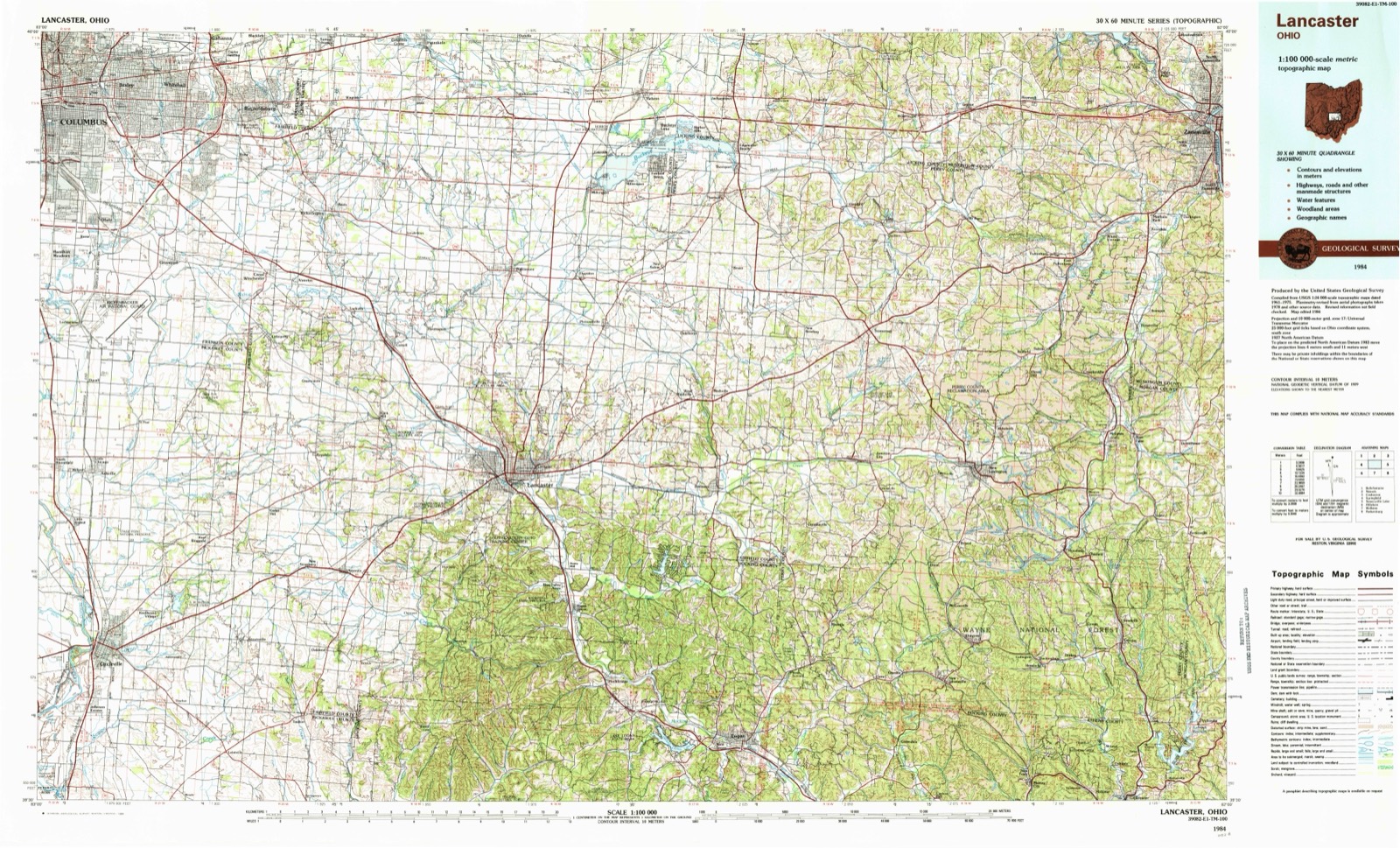
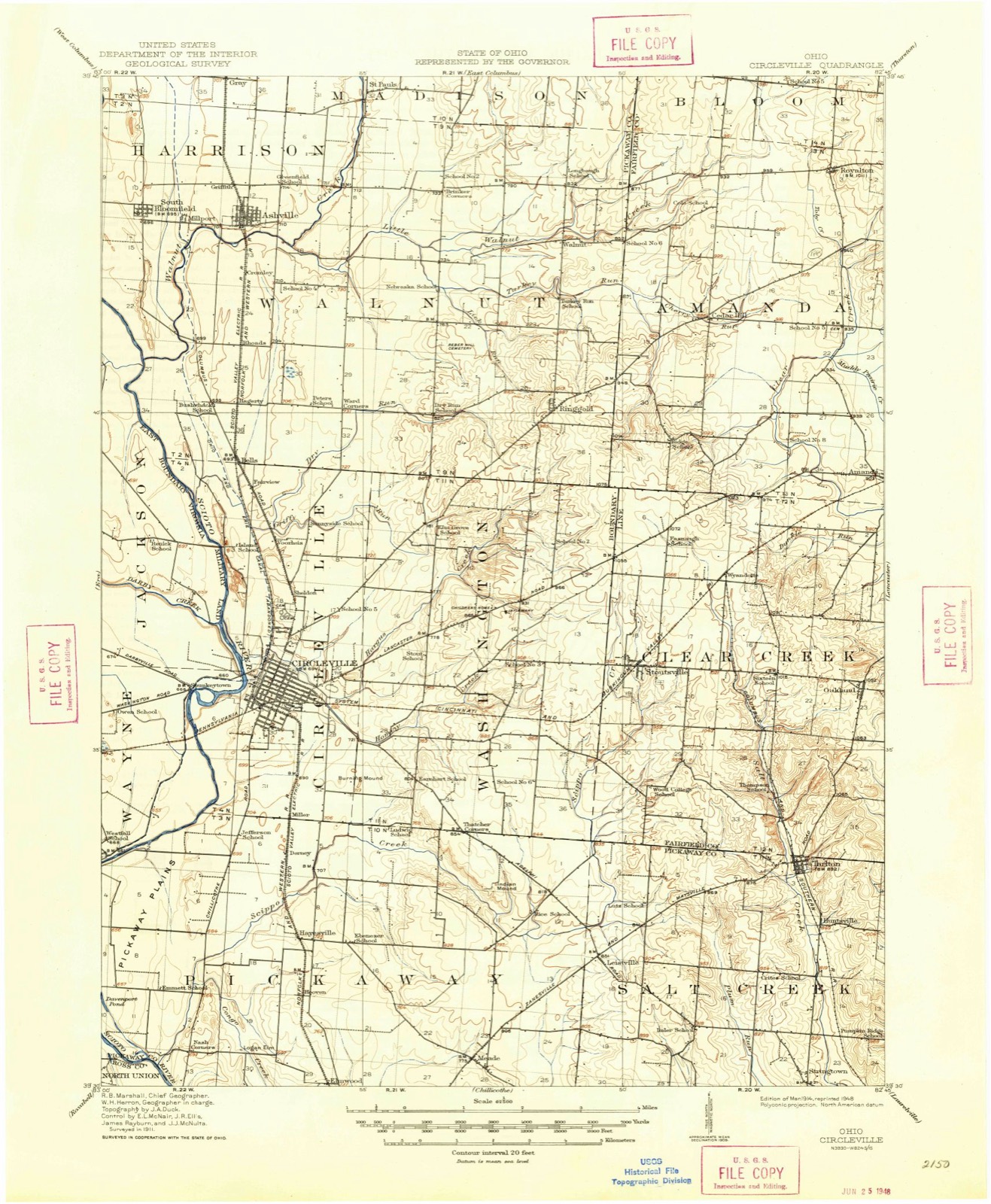
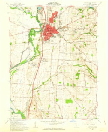
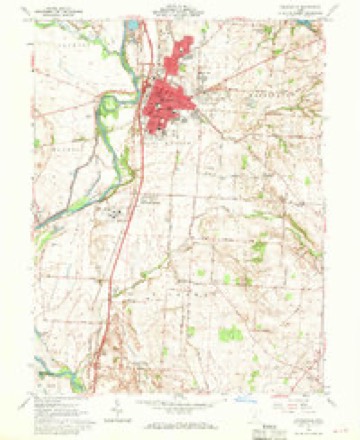
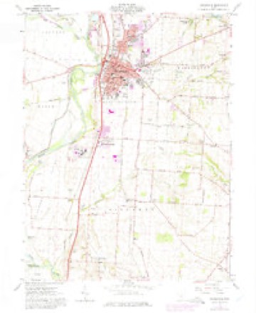
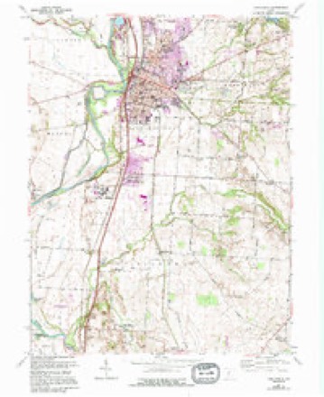
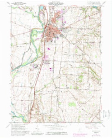
13 topographic sheets cover this place, the earliest surveyed in 1914 and the latest in 1984. It stands in Pickaway Township. It lies in ZIP code area 43113. The Survey maps it on the Circleville quadrangle.
Then and now
1914 to 1984The same ground, surveyed 70 years apart. Drag the handle to wipe between them. Both sheets are United States Geological Survey originals; neither has been altered.
Topographic sheets covering this place
13 sheetsMatched by testing this settlement's coordinate against the published boundary of every sheet in the United States Geological Survey's historical collection. Each opens the scanned sheet at the Survey.
- 1914 USGS Circleville quadrangle1:62500
- 1943 USGS Circleville quadrangle1:62500
- 1947 USGS Columbus quadrangle1:250000
- 1961 USGS Circleville quadrangle1:24000
- 1961 USGS Circleville quadrangle1:24000
- 1961 USGS Circleville quadrangle1:24000
- 1961 USGS Circleville quadrangle1:24000
- 1961 USGS Circleville quadrangle1:24000
- 1961 USGS Columbus quadrangle1:250000
- 1962 USGS Columbus quadrangle1:250000
- 1967 USGS Columbus quadrangle1:250000
- 1967 USGS Columbus quadrangle1:250000
- 1984 USGS Lancaster quadrangle1:100000






What happened here
An account from the chapter on Pickaway township, in the words of 1906.
William Henry Harrison
the year 1806, two extraordinary men, twin brothers, of the Shawnese tribe, rose among them. One of these was called Tecumseh, or " The Crouching Panther;" the other, OlHwacheca, or "The Prophet." Tecumseh was not only an Indian warrior, but a man of great sagacity, far-reaching foresight and indomitable perseverance in any enterprise m which he might engage.
Fires nearby
2 since 2007The federal wildfire occurrence database lists 2 fires within 5 miles of Hayesville between 2007 and 2007, burning about 5 acres in total. None started naturally. None was recorded as arson. Distance is straight-line from the map coordinates, so a fire counted here may appear on a neighbouring settlement's page as well.
| Reported cause | Fires |
|---|---|
| Debris and open burning | 2 |
The most recent of them, most recent first, with the day each was reported and the service that recorded it.
| Date | Cause | Size | Reported by | Name on the report |
|---|---|---|---|---|
| 21 April 2007 | Debris and open burning | 5.0 acres | Ohio Department of Natural Resources | not named |
| 4 October 2007 | Debris and open burning | under an acre | Ohio Department of Natural Resources | not named |
Settlements close enough to share some of these fires:
Specimens collected nearby
12 of 2,453 shownMuseums hold 2,453 specimens collected within 10 miles of Hayesville between 1829 and 1975: 2,360 Animalia, 80 Plantae, 12 Fungi, 1 Protozoa. 12 distinct Species records are shown. Collected by A. Spreitzer, A. Spreitzer & W. LeGrande, A. White, M. Trautman, T. Cavender and others. Each is a physical object with a catalogue number, and each entry opens the museum's record. This is what was collected and kept, not a survey of what lives here - nothing can be concluded from a species being absent.
| Image | Species | Year | Collected by | Where, as recorded |
|---|---|---|---|---|
 | Rallus elegans elegans Audubon, 1834 | 1829 | Florence, A. (Arledge) | Col Anderson farm 6 1/2 mi west of Circleville, Pickaway, Ohio, USA |
 | Symphyotrichum dumosum (L.) G.L.Nesom | 1845 | L. L. Pontius | 3 mi E of Kingston. |
 | Caprimulgus vociferus vociferus A.Wilson, 1812 | 1876 | Jones, H. (Howard) | Darby Creek, Circleville, Pickaway, Ohio, USA |
 | Lanius ludovicianus migrans W.Palmer, 1898 | 1877 | Jones, H. (Howard) | Goose Pond, near Circleville, Pickaway, Ohio, USA |
 | Hirundo rustica erythrogaster Boddaert, 1783 | 1879 | Jones, H. (Howard) | near Circleville, Pickaway, Ohio, USA |
 | Bartramia longicauda (Bechstein, 1812) | 1880 | Jones, H. (Howard) | near Circleville, Pickaway, Ohio, USA |
 | Cardinalis cardinalis (Linnaeus, 1758) | 1880 | Mearns, E.A. | Circleville near Scioto River. |
 | Empidonax virescens (Vieillot, 1818) | 1880 | Jones, H. (Howard) | Niles Woods, near Circleville, Pickaway Co., Ohio |
 | Setophaga ruticilla (Linnaeus, 1758) | 1880 | Jones, H. (Howard) | near Circleville, Pickaway, Ohio, USA |
 | Accipiter striatus Vieillot, 1808 | 1881 | Jones, H. (Howard) | Scioto River bottoms near Circleville, Pickaway, Ohio, USA |
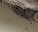 | Petrochelidon pyrrhonota (Vieillot, 1817) | 1881 | Jones, H. (Howard) | near Circleville, Pickaway, Ohio, USA |
 | Piranga olivacea (J.F.Gmelin, 1789) | 1881 | Jones, H. (Howard) | near Circleville, Pickaway, Ohio, USA |
All 2,453 specimens within 10 miles, at the Global Biodiversity Information Facility.
Storms nearby
3 since 2011The National Weather Service names Hayesville in 3 storm reports between 2011 and 2022: 2 tornado, 1 flash flood. The reports record 3 injuries. Each account below is quoted exactly as the forecast office filed it, from the NOAA Storm Events Database, and each date opens the federal record of that event.
| When | Event | Place named | Harm | What the report says |
|---|---|---|---|---|
| July 2022 | Tornado (EF0) | Hayesville | 3 hurt, $250,000 | The first damage occurred on three separate properties on the west side of Kingston Pike where an RV was flipped on its side and a neighboring house had roof damage. |One injury was reported within the RV. Another property received minor structural damage. The tornado continued east-northeast and caused tree and minor structural damage to properties along Gay-Dreisbach Road and Ludwig-Dresback Road. The maximum width of the tornado was likely on Ludwig-Dresback Road due to the tree damage observed. Beyond this damage, accessibility became more challenging and the distance between damage points increased. The tornado may have lifted several times throughout the remainder of the track as the tornado became less organized.||It is unknown if any damage occurred between Morris Salem Road and State Route 56 East. On the north side of State Route 56 East, a single property received minor tree and structure damage with the worst damage associated with a new outbuilding that collapsed. Two more injuries were reported within this structure. After crossing more agricultural fields, damage was observed at the Logan Elm School property on Tarlton Road. Several buildings received minor damage along with damage to various portions of the sports complex. Security camera footage helped confirm that a circulation was still evident at this location.||The tornado moved northeast across Tarlton Road and weakened as it continued into Fairfield County, ending at 1522EST, about 2.2 miles south of Stoutsville. |
| May 2019 | Tornado (EF1) | Hayesville | $1,000,000 | The tornado is believed to have first touched down just west of Circleville-Kingston Road, along which there was a structure that sustained some minor roof damage close to the intersection with Gay-Dreisbach Road. ||A bit further to the east, at the next north-south oriented road (Gay-Dreisbach Road), several structures sustained more significant damage. In particular, a house had its garage destroyed, with the roof removed completely and placed in the yard. Some structural damage also occurred to the connecting wall to the main house. It was at this location where some of the most severe damage associated with this tornado was observed to have occurred. Damage at this property along Gay-Dreisbach Road was consistent with estimated winds of around 100 mph.||An additional area of damage believed to be tornadic in nature was near the intersection of Ludwig-Dresback Road and Morris Salem Road, where several large trees were downed and minor roof damage was observed at a property on Ludwig-Dresback Road. A barn was also damaged on the same property. Further southeast, sporadic, but locally extensive, tree damage and minor structural (siding/roof) damage was observed at several properties on Zane Trail Road near Morris Salem Road.||Just south of the intersection of Morris Salem and Zane Trail Roads, extensive tree damage was observed at multiple properties on Morris Salem Road. An outdoor structure at a residence was completely destroyed with the garage of the home also dismantled. A corner of a home at the same property was also severely damaged, with a portion of the wall partially removed, leaving a gaping hole in the corner of the structure. Debris from the structures and tree damage were strewn in the nearby fields. ||Further east and southeast, sporadic tree and minor structural damage was observed at several locations just east of Morris Salem Road. However, damage was not observed much further to the south or east, and therefore it is believed the tornado lifted just east of Morris Salem Road, south of Zane Trail Road. Damage in these areas was consistent with an EF0 tornado, particularly at the properties near the intersection of Morris Salem Road and Zane Trail Road. |
| May 2011 | Flash Flood | Hayesville | $2,000 | Two feet of water was flowing across roadways due to heavy rainfall. |
Nearest settlements
The eight closest, with where each one stands in the county. Distances are straight-line, computed from the Geographic Names Information System coordinates.
| Map | Place | Distance | Sheets |
|---|---|---|---|
| Hooven (historical) | 1.0 miles | 13 | |
| Dorney (historical) | 1.5 miles | 13 | |
| Miller (historical) | 2.1 miles | 13 | |
| Jefferson Estates | 2.3 miles | 13 | |
| Logan Elm Village | 2.5 miles | 13 | |
| Elmwood | 2.5 miles | 13 | |
| Thacher | 3.2 miles | 13 | |
| Circle Hills | 3.3 miles | 13 |
Elsewhere
Matched on this settlement's Geographic Names Information System number rather than its name, so it cannot be a different place of the same name in another state.
| Wikipedia article on Hayesville | An encyclopaedic summary. Its text is share-alike, so it is linked here rather than copied. |
| Wikidata item Q22133809 | The structured record the population and elevation above come from. Public domain (CC0). |
Provenance
This settlement is recorded in the Geographic Names Information System as feature 1062808. The sheet list is computed by point-in-boundary test against the United States Geological Survey's historical topographic inventory. Both are works of the United States government and carry no copyright under 17 U.S.C. 105.
Wildfire. Short, Karen C. 2022. Spatial wildfire occurrence data for the United States, 1992-2020 [FPA_FOD_20221014]. 6th Edition. Fort Collins, CO: Forest Service Research Data Archive. https://doi.org/10.2737/RDS-2013-0009.6 Collected with United States Government funding and usable without additional permissions or fees.
Specimens. Global Biodiversity Information Facility (GBIF), https://www.gbif.org/. Only records licensed CC0 or CC BY are used. Records licensed CC BY-NC are excluded because this site carries advertising. Images are checked individually and any whose licence is non-commercial, no-derivatives or unreadable is refused.
Storms. NOAA National Centers for Environmental Information, Storm Events Database https://www.ncei.noaa.gov/stormevents/ A work of the United States government, no copyright under 17 U.S.C. 105. Narratives are quoted verbatim from the National Weather Service report and are not edited or summarised.