BlockBefore
Decorative drawing: a county panorama. Not a photograph of this place.

Pickaway County, Ohio

76 topographic sheets and 19 fire insurance atlases across 3 places.

Research this county

This curated hub for Pickaway County, Ohio brings together the page's documented record links, visible map or image evidence where published, and routes to related local records.

What is documented here?

Use the page's provenance and linked records to distinguish the source material from the site's navigation and summaries.

How should I cite it?

Open the original record, preserve its repository and identifier, then use the citation tool for this page as a path back to the source.

Where should I go next?

Follow the county or state hub for related places and records, then use the guide for a source-aware research sequence.

From the record

“Friedrich Reicheldorfer, born September 21, 1714, in Germany, immigrated to New York with his family in 1717. Around 1728 the family moved to Pennsylvania. On the morning of February 14, 1756, two Indians attacked his farm on Raven Creek, killing two of his daughters and setting flame to his farm.”

Reicheldorfer Family - History of Pickaway County, Ohio and Representative Citizens (1906). Machine-read text.

20 National Register listings · 52 businesses named in the fire insurance atlases from 1893 to 1926 · the 1906 county history tells 6 stories and names 199 people · people the book names include John Quincy Adams (Pickaway Township, 1892) (machine-read).

Sources: the county history on the Internet Archive · the National Register database, National Park Service

Ohio within the United States
Pickaway County within Ohio
Explore by year 1830 1927

What the record shows

  • 3 places in this county were surveyed for fire insurance: Circleville, Ashville, New Holland, between 1884 and 1945.
  • 19 fire insurance atlas(es) survive for the county. Topographic coverage is national; fire insurance survey reached only incorporated places with something worth insuring.
  • 875 topographic sheet readings cover the county's settlements.
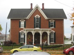
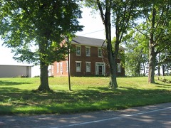
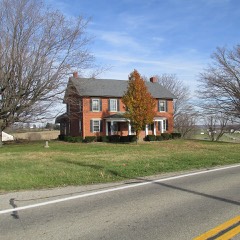
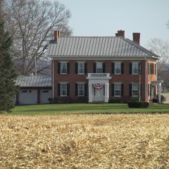
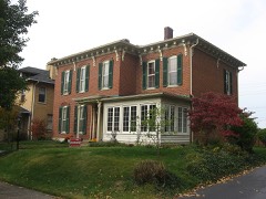
  • 20 properties here are on the National Register of Historic Places, including 11 houses and farms.
  • 6 of the 20 listings were added during the 1970s.
  • The Geographic Names Information System records 71 populated places in this county; 0 are covered by at least one topographic sheet.
  • 6 public-domain county histories, 1810 to 1928, supply 794,908 words of narrative reproduced here in full.

What happened here

6 accounts

A captivity, a drowning, a famine, a man scalped clearing his lot in 1789. These are passages from History of Pickaway County, Ohio and Representative Citizens, written while people who remembered the events were still alive, and each one opens the section it comes from.

1906, Pickaway Township

William Henry Harrison

the year 1806, two extraordinary men, twin brothers, of the Shawnese tribe, rose among them. One of these was called Tecumseh, or " The Crouching Panther;" the other, OlHwacheca, or "The Prophet." Tecumseh was not only an Indian warrior, but a man of great sagacity, far-reaching foresight and indomitable perseverance in any enterprise m which he might engage.

Read the rest of this passage

1906, Pickaway Township

Braham Lincoln

sixteenth President of fnited States, was born Hardin Co., Ky., Feb. 1809. About the year 1 7 So, a man by the name of Abraham Lincobi left Virginia with his family and moved into the tlien wilds of Kentucky. Only two 3ears after this emigration, still a young man, while working one day in a field, was stealthily approached by an Indian and shot dead.

Read the rest of this passage

1906, Pickaway Township

The Hart Family

Elijah was inducted into the Union Army May 30, 1864, at Circleville, and went into combat at Petersburg, Virginia. On June 21, 1864, he was wounded in the left foot. The wound became infected, and antibiotics being unknown, his left foot was amputated. On Jan 23, 1865, he was honorably discharged for disability.

Read the rest of this passage

1906, Pickaway Township

Michael & Kelly Justice Family

The earliest Justice known to the family was Francis Justice, a Union Soldier in the Civil War who served with the 73" reg. Co. D of the OVI. He enlisted 11/1/1861 and was discharged 12/30/1864. He received a gun shot wound of the hand and forearm in Resaca, Georgia, disabling his left hand. He was b. circa 1843.

Read the rest of this passage

1906, Pickaway Township

George Henry Kaiser Family

George Henry Kaiser was born May 30, 1910 in Pickaway County to John Henry and Christine Schneider Kaiser. He married Harriett Lucille Cullums on June 14, 1934 in Greenup, Kentucky. Harriett was born on December 12, 1916 in Circleville, Ohio to Ray and Ethel Florence Hugh Cullums. Ray Cullums fell as a victim of the Flu Epidemic of 1918.

Read the rest of this passage

1906, Pickaway Township

Reicheldorfer Family

Friedrich Reicheldorfer, born September 21, 1714, in Germany, immigrated to New York with his family in 1717. Around 1728 the family moved to Pennsylvania. Friedrich was a farmer. On the morning of February 14, 1756, two Indians attacked his farm on Raven Creek, killing two of his daughters and setting flame to his farm.

Read the rest of this passage

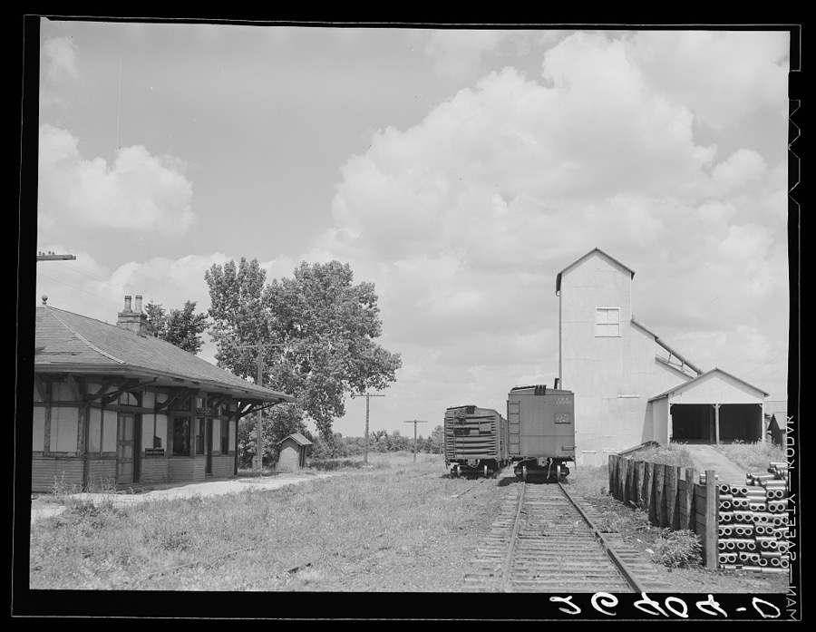
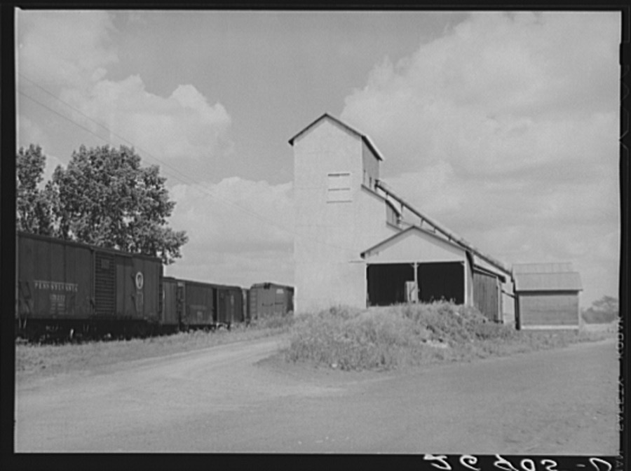
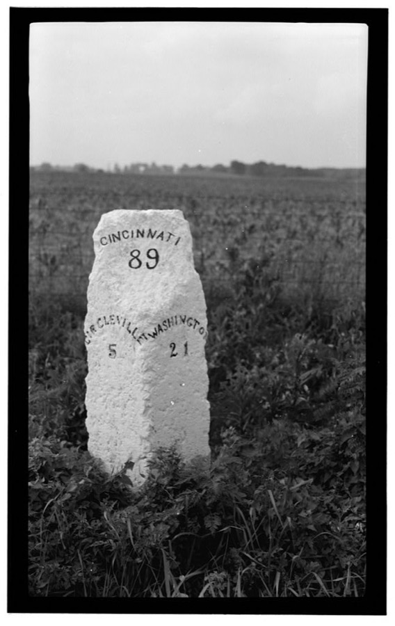
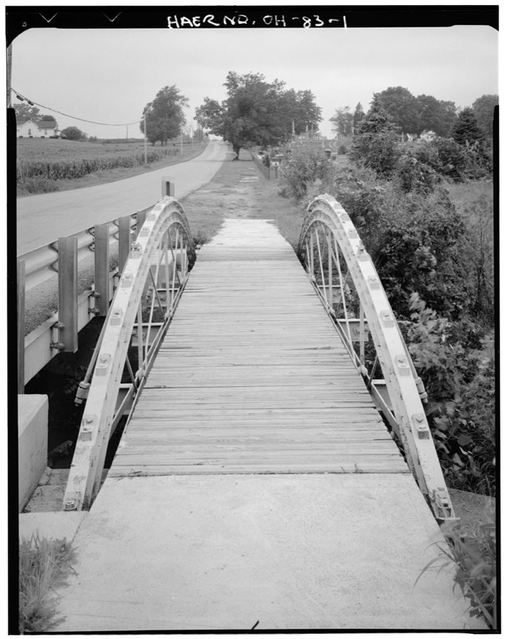
Photographs

4 photographs, 1938 to 1939

Taken for the Office of War Information and the Farm Security Administration, who photographed the country between 1935 and 1944. Works of United States government photographers, with no known restriction on use. Each opens its catalogue record.

Railroad station. Atlanta, Ohio
Rothstein, Arthur, 1939. Library of Congress
Railroad station. Atlanta, Ohio
Rothstein, Arthur, 1938. Library of Congress
Milestone of Zane's Trace, Route 22, Kinderhook, Pickaway County, OH
Unattributed, . Library of Congress
Egypt Pike Bridge, Egypt Pike (County Road 21) spanning Mud Run, New Holland, Pickaway County, OH
Unattributed, . Library of Congress

Places on the National Register

20

Every property in this county listed on the National Register of Historic Places, with the year it was listed and the federal nomination document.

Photograph PropertyType ListedReference
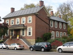
Anderson, William Marshall, Housebuilding197979001925
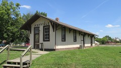
Ashville Depotbuilding198080003209
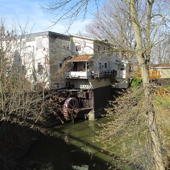
Bazore Millbuilding197878002172
Bellevuebuilding197676001508
Black, Joseph, Farmhousebuilding198202001459
Circleville High Schoolbuilding201515000576
Horsey-Barthelmas Farmbuilding198080003210
McCrea, Matthew, Housebuilding198888001714
Memorial Hallbuilding198080003211
Morris Housebuilding197979001926
Mount Ovalbuilding197474001593
Perrill-Goodman Farm Housebuilding198585000565
Peters, Stevenson, Housebuilding198484003797
Redlandsbuilding198282003630
Saint Philip's Episcopal Churchbuilding198686001064
Scioto Township District No. 2 Schoolhousebuilding198787000634
Shack, Thebuilding197474001596
Walling, Ansel T., Housebuilding198787002145
Watt-Groce-Fickhardt Housebuilding198585001804

Covered bridges

0

Pickaway County holds 0 covered bridges on the National Register, more than any other property type here. Each is a listed structure with a federal nomination on file.

Bird's-eye views and land ownership maps

3

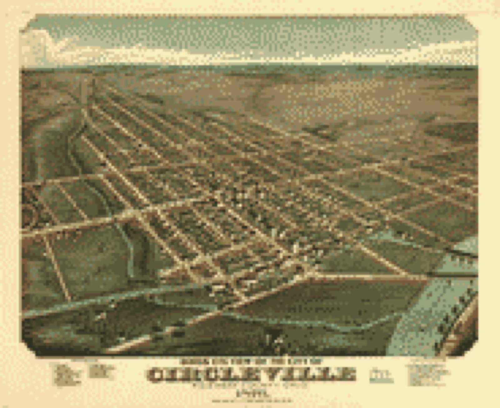
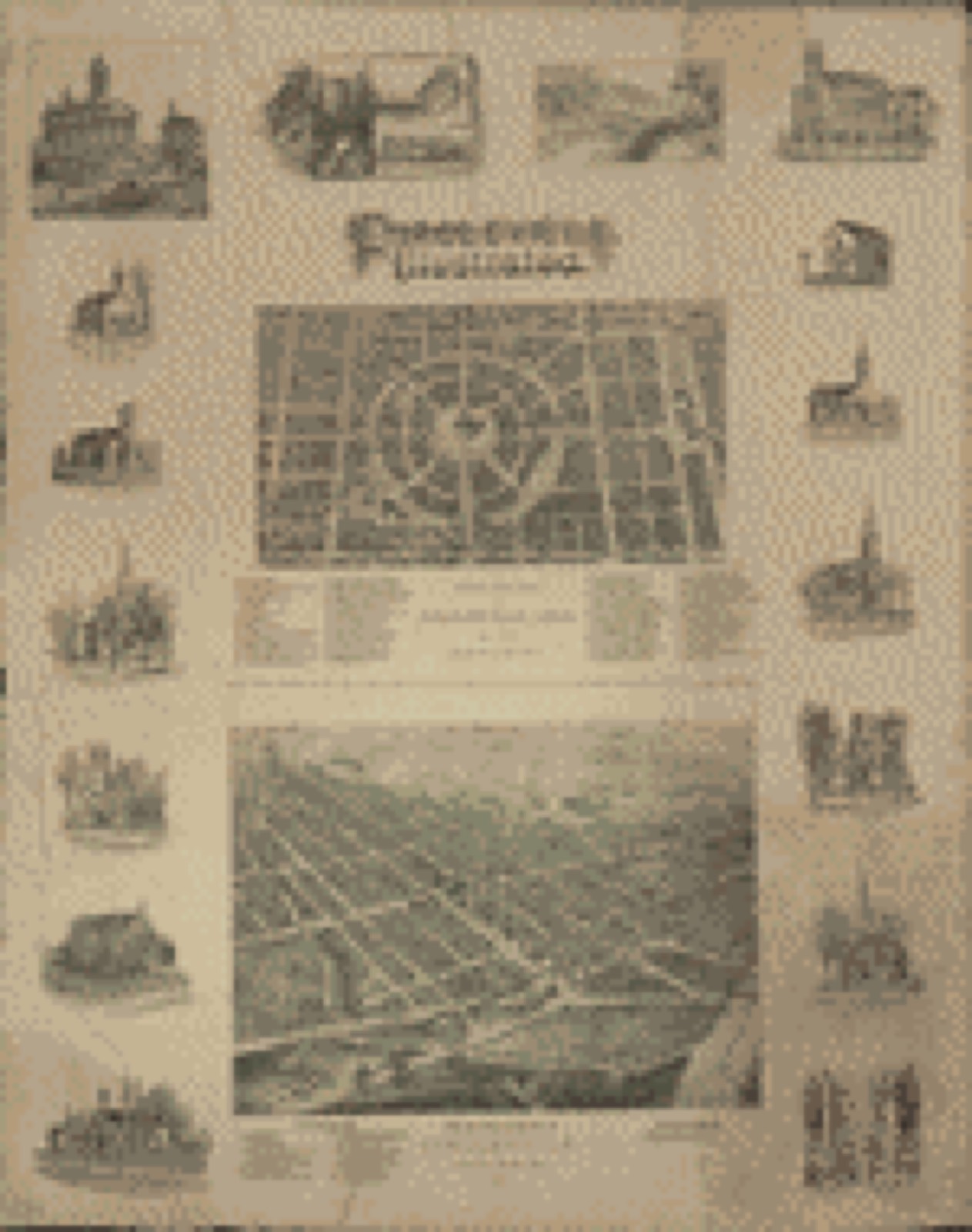
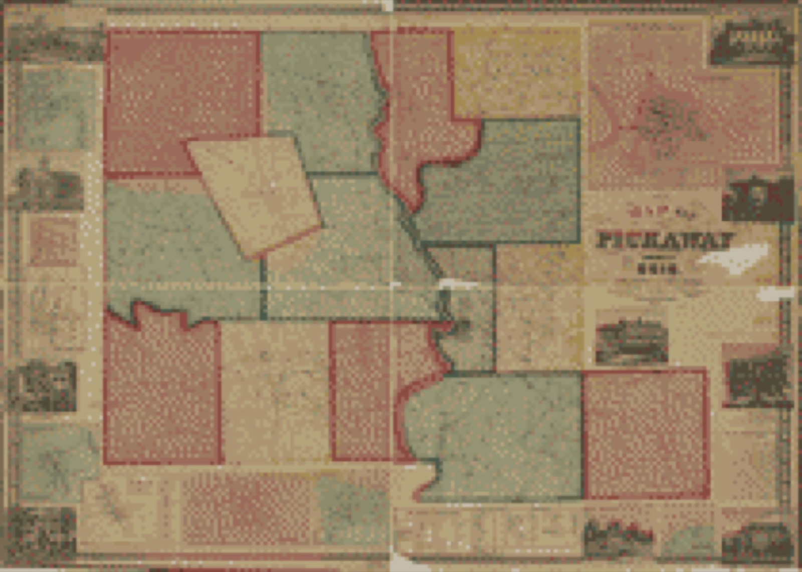
Drawn when these were printed as single large sheets: the town seen from the air, and the county divided into its farms with every owner named. Each opens the original at the Library of Congress.

Bird's-eye view, 1876 - Birds eye view of the city of Circleville, Pickaway County, Ohio 1876
Bird's-eye view (1876) - Birds eye view of the city of Circleville, Pickaway County, Ohio 1876. Library of Congress.
Bird's-eye view, 1878 - Circleville illustrated
Bird's-eye view (1878) - Circleville illustrated. Library of Congress.
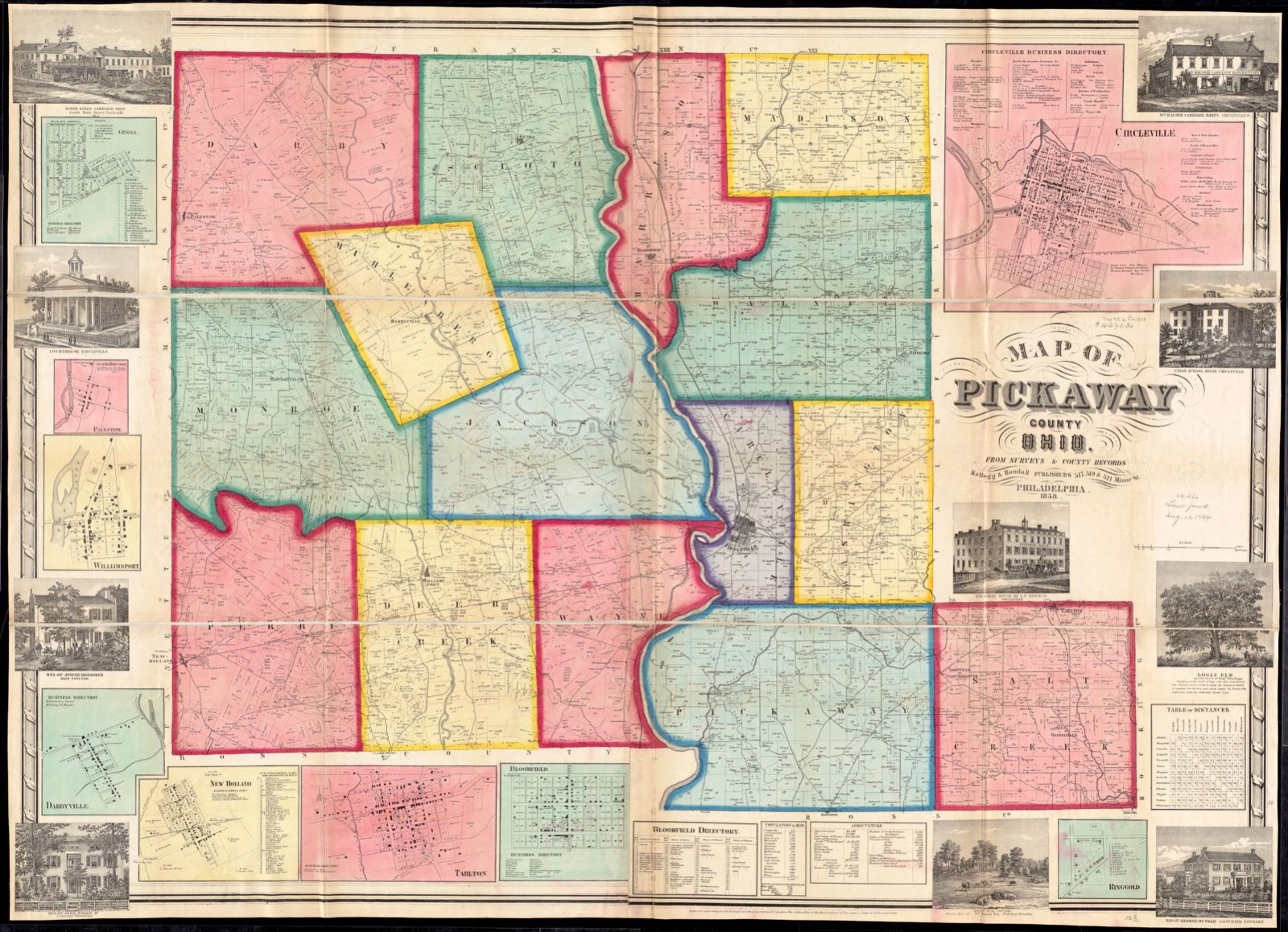
Land ownership map, 1858 - Map of Pickaway County, Ohio
Land ownership map (1858) - Map of Pickaway County, Ohio. Library of Congress.

Photographs from libraries nationwide

1 of 2 shown

Selected from the Digital Public Library of America's 2 image records catalogued for this county. Every one shown here carries a public-domain status or a licence that permits reuse on a site that carries advertising; non-commercial, share-alike and restricted images are excluded. The selection is spread across the county's towns (at most eight per town), so no single institution's bulk upload crowds out the rest. Each opens the holding library's record, and the complete set at the Digital Public Library of America is one click away.

Map of Pickaway County, Ohio, Boston Public Library - undated
Map of Pickaway County, Ohio. Kellogg & Randall, Boston Public Library, via the Digital Public Library of America.

The county from the air

44 of 667 shown

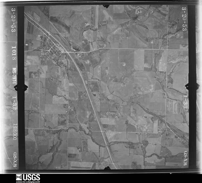
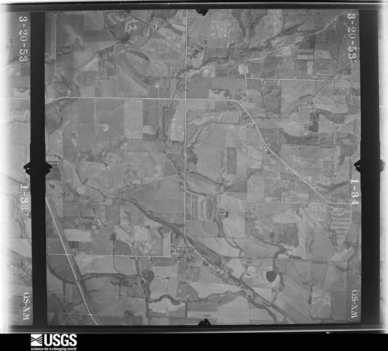
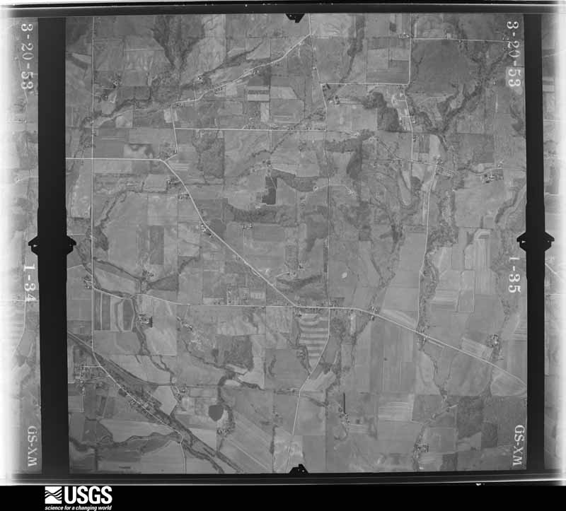
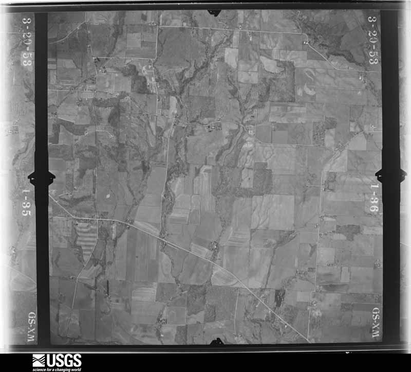
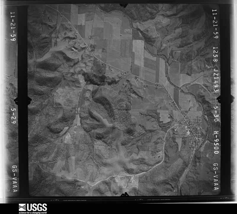
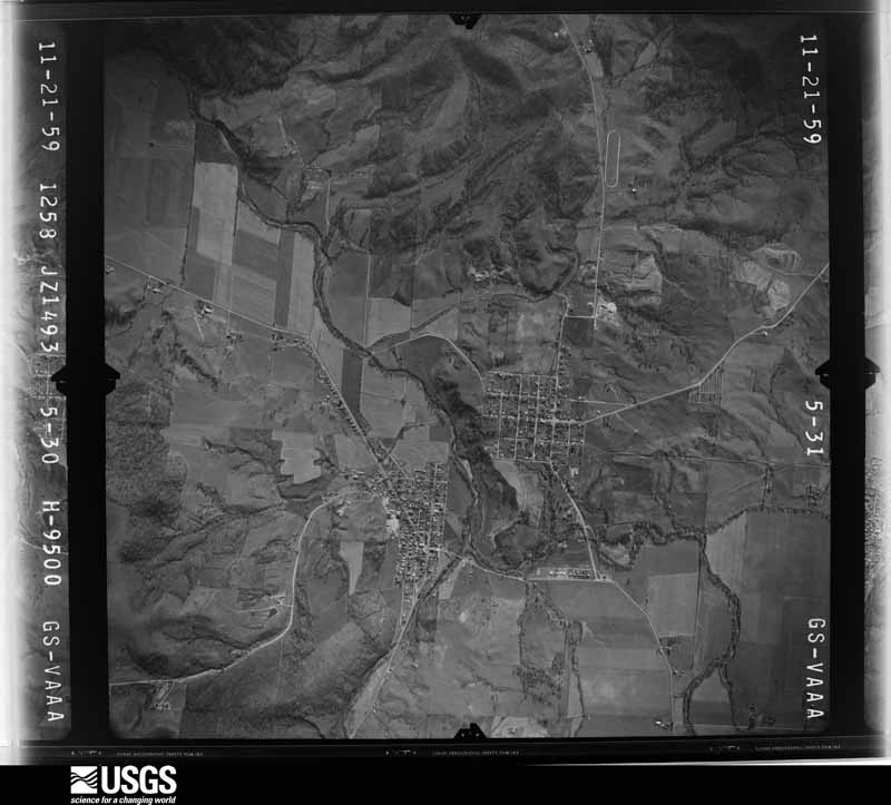
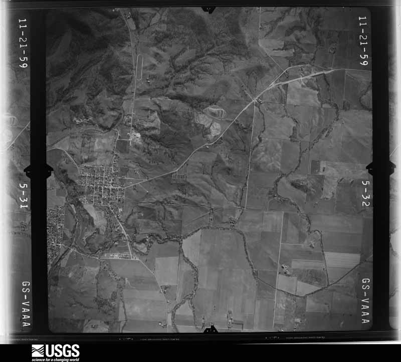
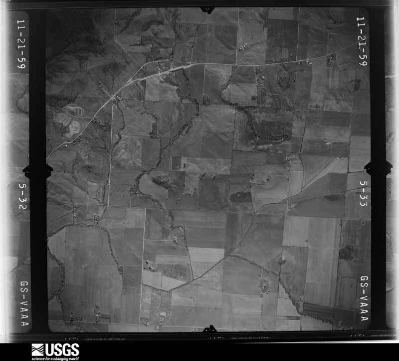
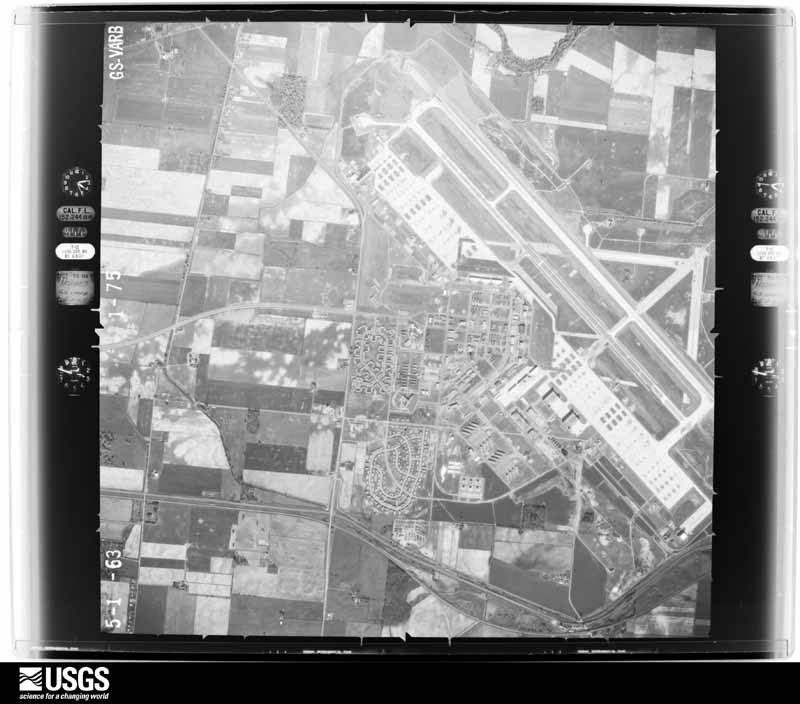
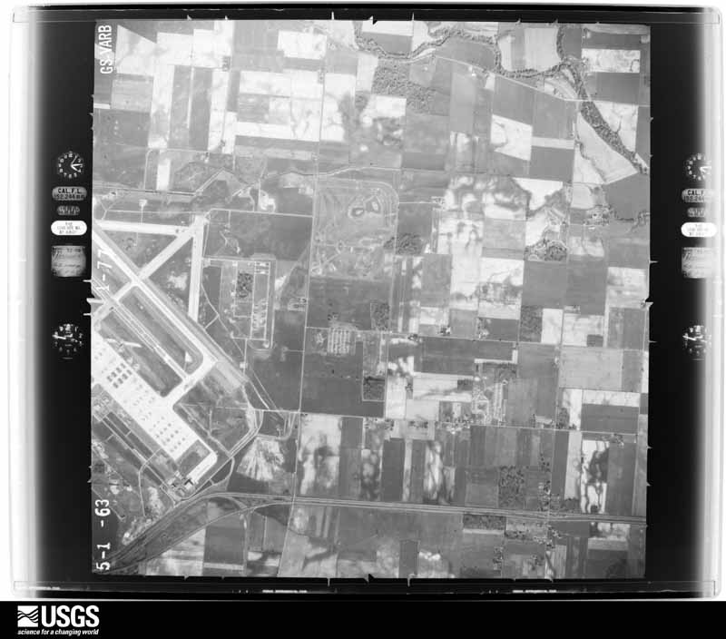
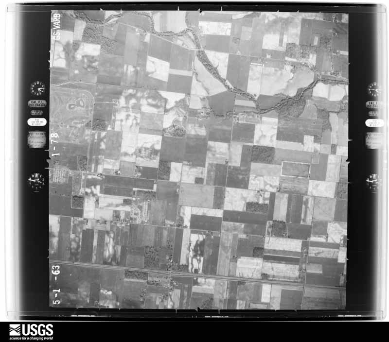
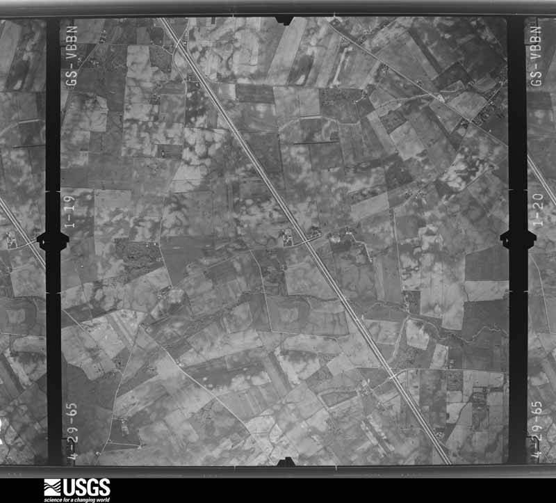
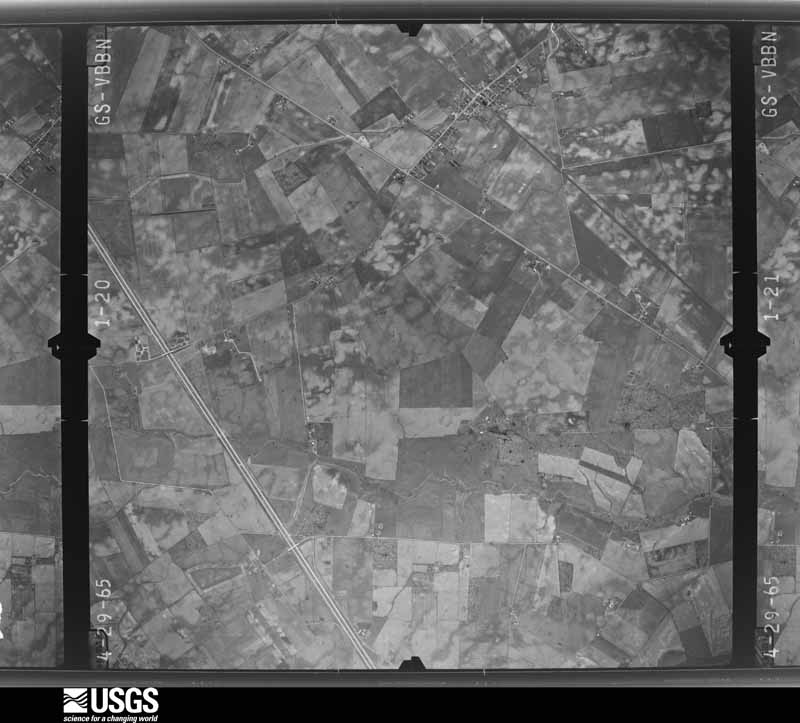
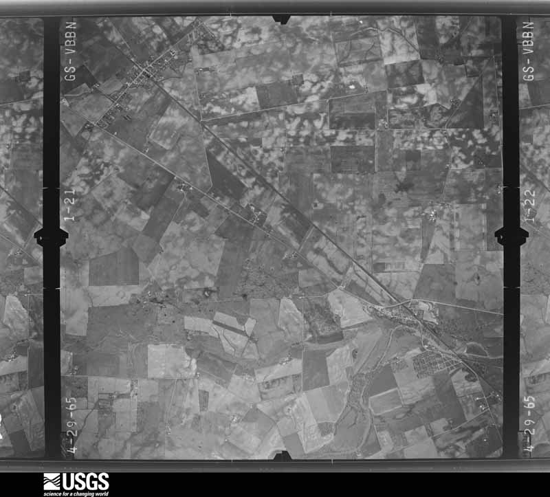
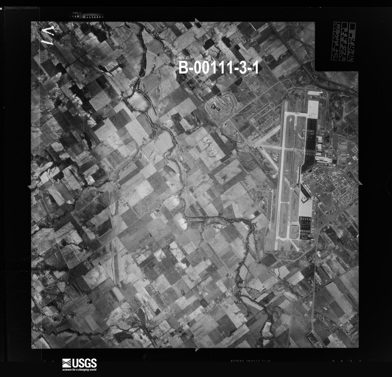
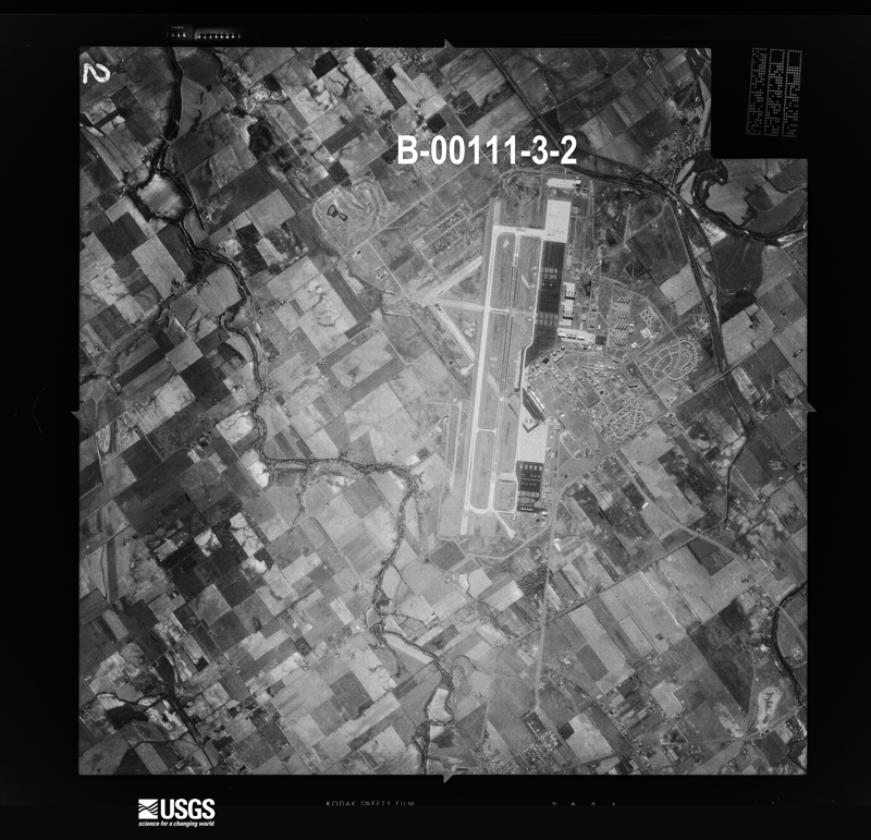
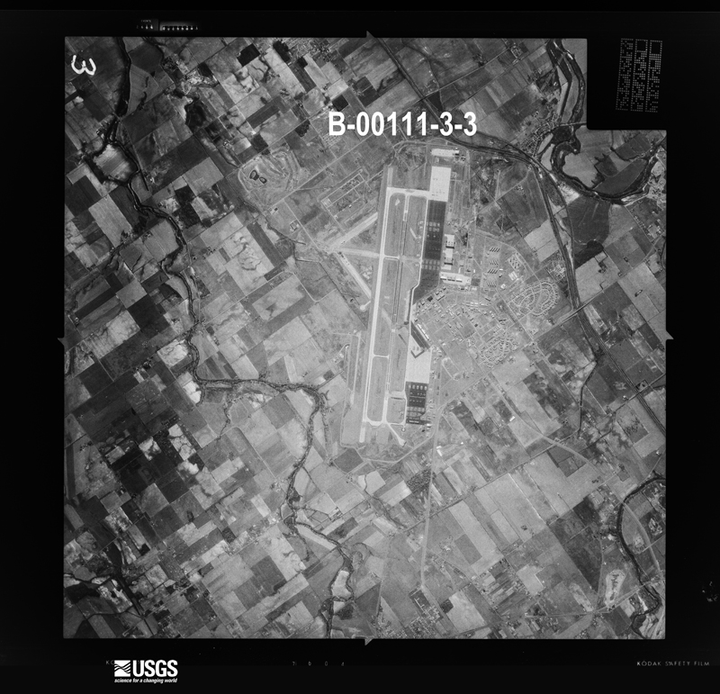
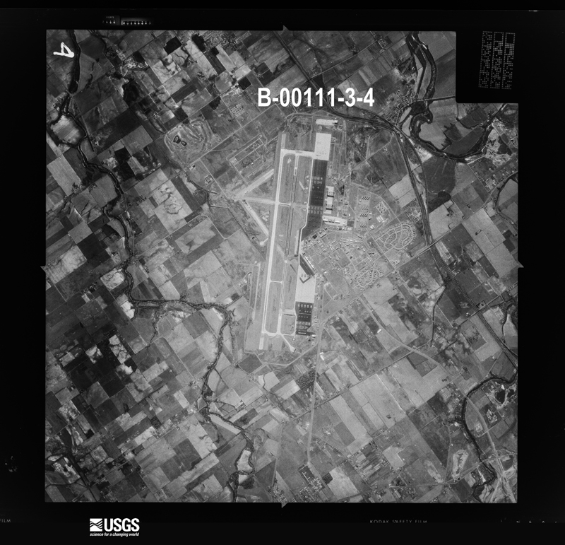
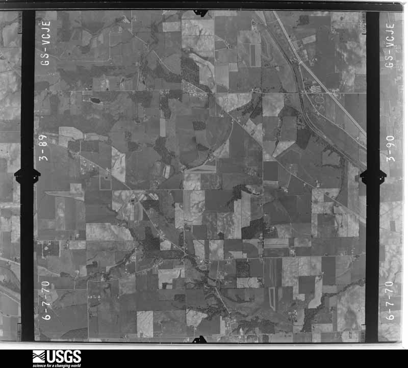
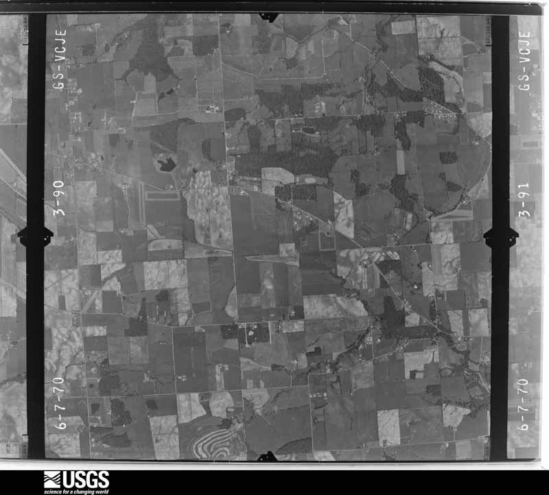
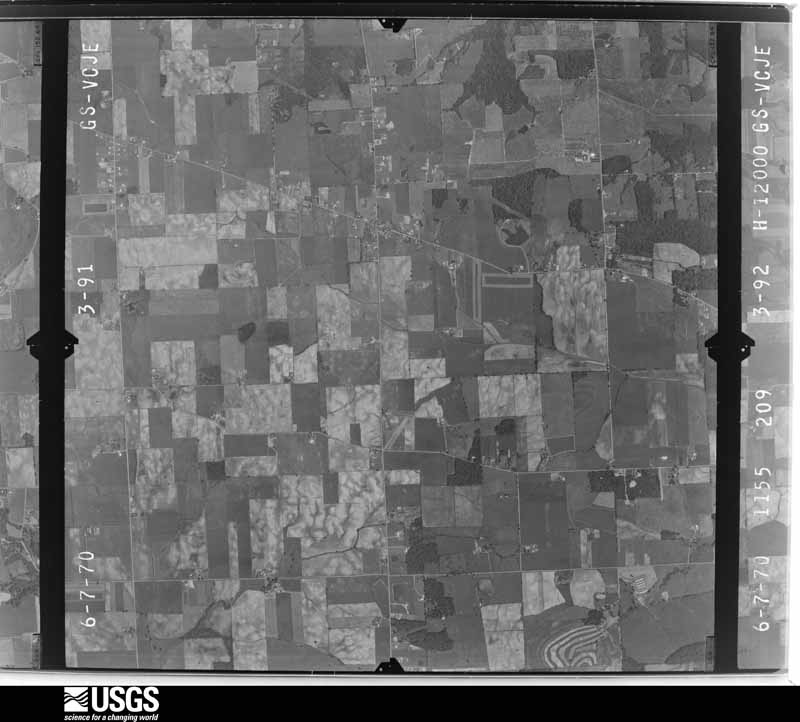
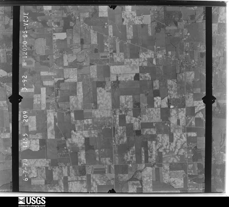
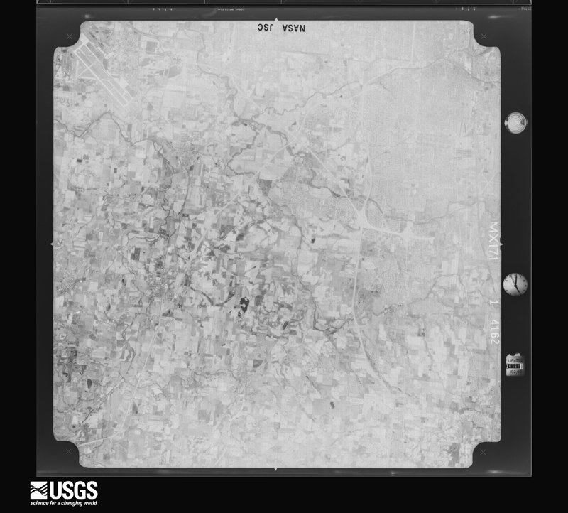
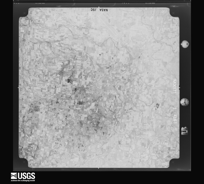
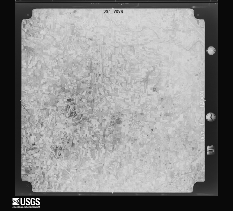
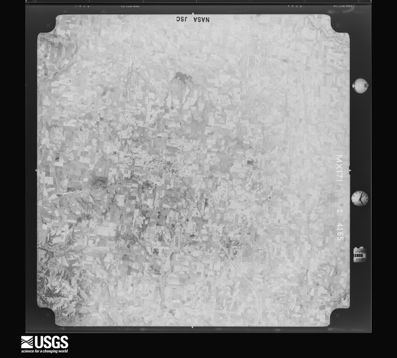
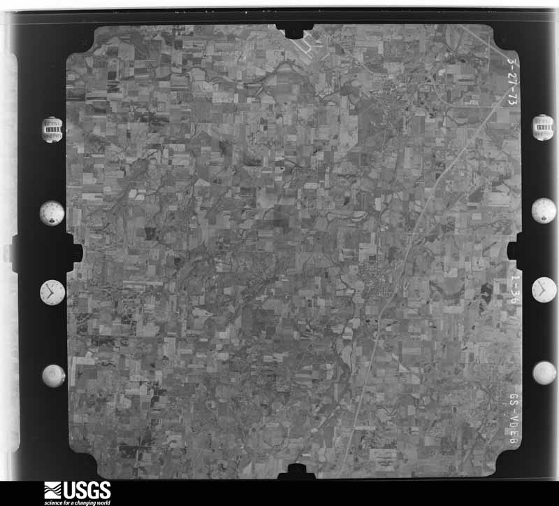
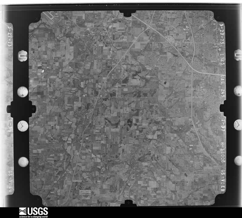
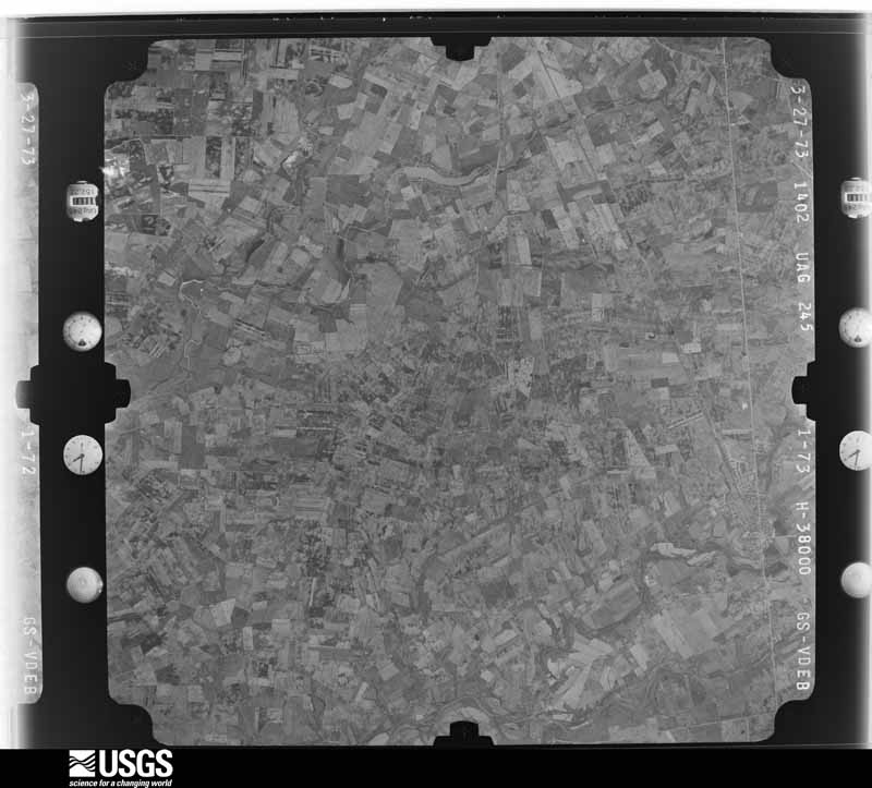
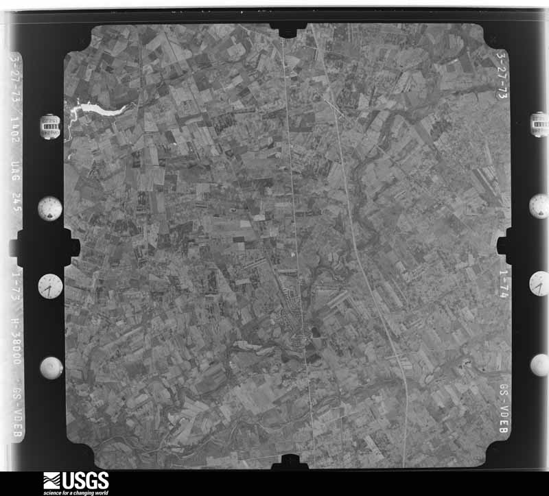
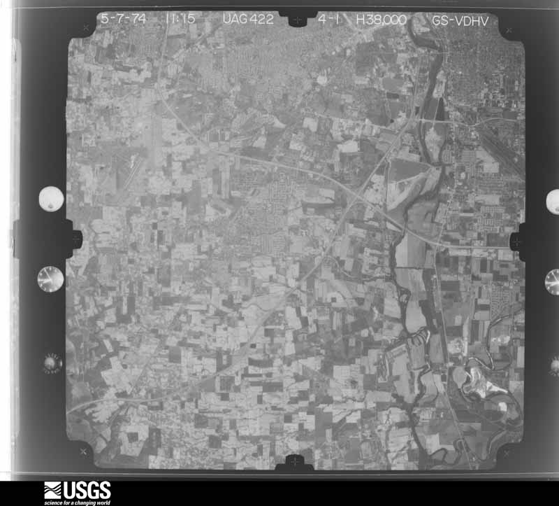
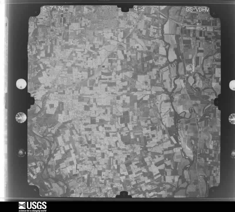
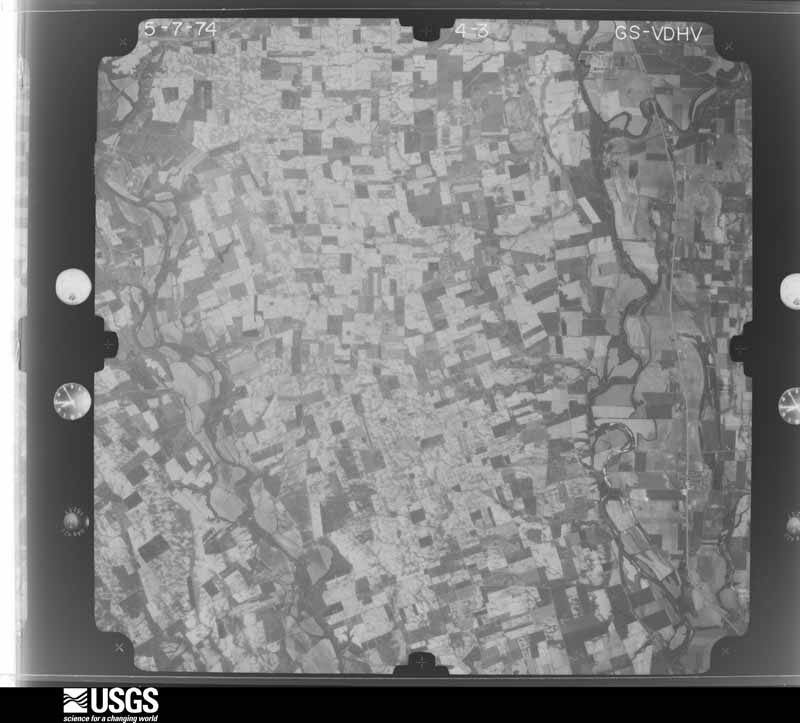
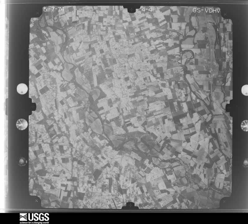
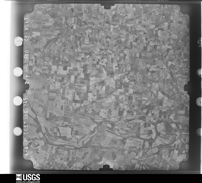
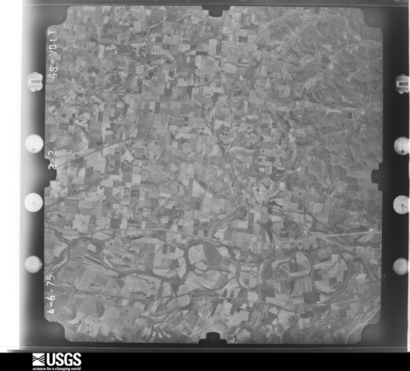
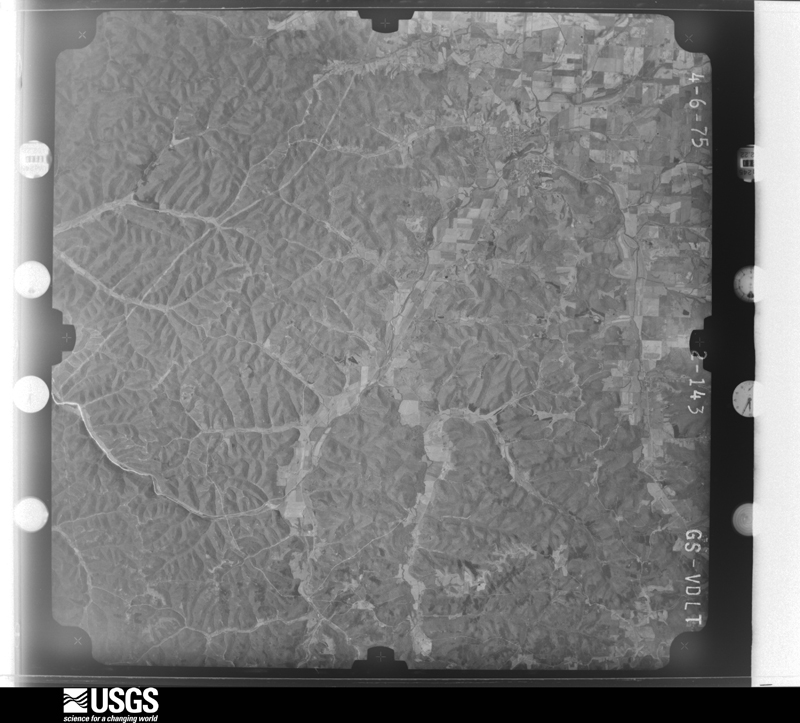
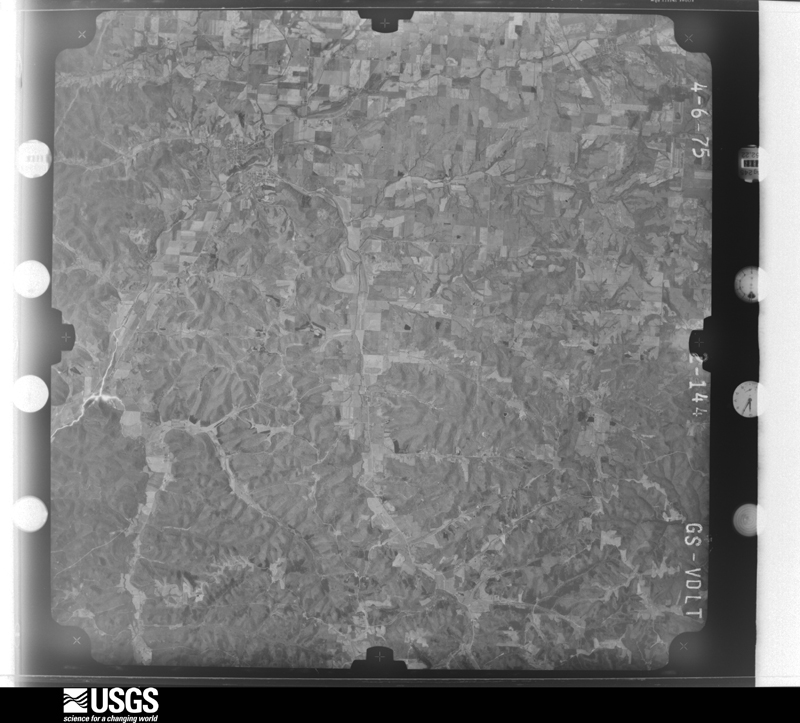
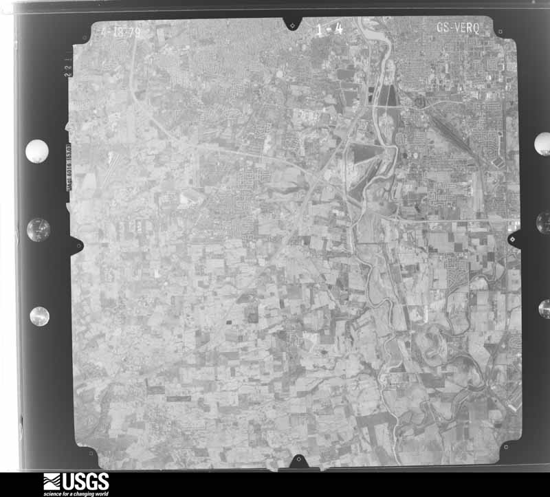
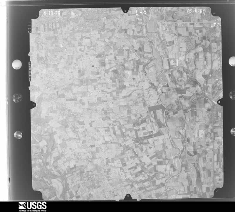
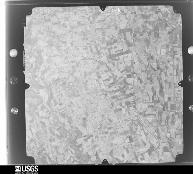
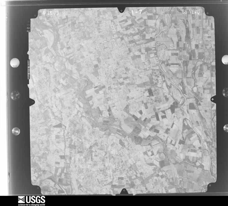
Flown by the U.S. Geological Survey between 1937 and 1989, the Aerial Photo Single Frames collection is the definitive mid-century view of the land: fields, roads and rivers as the camera saw them. 667 frames touch this county; the selection below spreads across the decades of flights (at most four per year), so one flight cannot crowd out the rest. The full set is free to browse and download at EarthExplorer under the dataset Aerial Photo Single Frames.

U.S. Geological Survey aerial photograph, 1953-03-01, scale 1:18000
1953-03-01, scale 1:18000. U.S. Geological Survey aerial photograph.
U.S. Geological Survey aerial photograph, 1953-03-01, scale 1:18000
1953-03-01, scale 1:18000. U.S. Geological Survey aerial photograph.
U.S. Geological Survey aerial photograph, 1953-03-01, scale 1:18000
1953-03-01, scale 1:18000. U.S. Geological Survey aerial photograph.
U.S. Geological Survey aerial photograph, 1953-03-01, scale 1:18000
1953-03-01, scale 1:18000. U.S. Geological Survey aerial photograph.
U.S. Geological Survey aerial photograph, 1960-04-19, scale 1:19000
1960-04-19, scale 1:19000. U.S. Geological Survey aerial photograph.
U.S. Geological Survey aerial photograph, 1960-04-19, scale 1:19000
1960-04-19, scale 1:19000. U.S. Geological Survey aerial photograph.
U.S. Geological Survey aerial photograph, 1960-04-19, scale 1:19000
1960-04-19, scale 1:19000. U.S. Geological Survey aerial photograph.
U.S. Geological Survey aerial photograph, 1960-04-19, scale 1:19000
1960-04-19, scale 1:19000. U.S. Geological Survey aerial photograph.
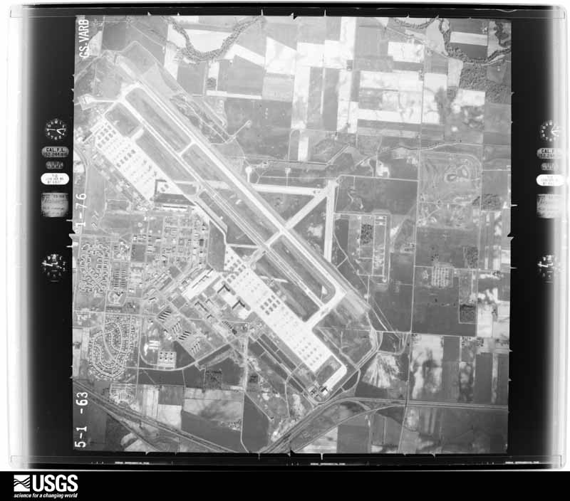
U.S. Geological Survey aerial photograph, 1963-05-06, scale 1:24000
1963-05-06, scale 1:24000. U.S. Geological Survey aerial photograph.
U.S. Geological Survey aerial photograph, 1963-05-06, scale 1:24000
1963-05-06, scale 1:24000. U.S. Geological Survey aerial photograph.
U.S. Geological Survey aerial photograph, 1963-05-06, scale 1:24000
1963-05-06, scale 1:24000. U.S. Geological Survey aerial photograph.
U.S. Geological Survey aerial photograph, 1963-05-06, scale 1:24000
1963-05-06, scale 1:24000. U.S. Geological Survey aerial photograph.
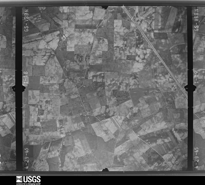
U.S. Geological Survey aerial photograph, 1965-04-29, scale 1:24000
1965-04-29, scale 1:24000. U.S. Geological Survey aerial photograph.
U.S. Geological Survey aerial photograph, 1965-04-29, scale 1:24000
1965-04-29, scale 1:24000. U.S. Geological Survey aerial photograph.
U.S. Geological Survey aerial photograph, 1965-04-29, scale 1:24000
1965-04-29, scale 1:24000. U.S. Geological Survey aerial photograph.
U.S. Geological Survey aerial photograph, 1965-04-29, scale 1:24000
1965-04-29, scale 1:24000. U.S. Geological Survey aerial photograph.
U.S. Geological Survey aerial photograph, 1968-02-09, scale 1:75273
1968-02-09, scale 1:75273. U.S. Geological Survey aerial photograph.
U.S. Geological Survey aerial photograph, 1968-02-09, scale 1:75273
1968-02-09, scale 1:75273. U.S. Geological Survey aerial photograph.
U.S. Geological Survey aerial photograph, 1968-02-09, scale 1:75273
1968-02-09, scale 1:75273. U.S. Geological Survey aerial photograph.
U.S. Geological Survey aerial photograph, 1968-02-09, scale 1:75273
1968-02-09, scale 1:75273. U.S. Geological Survey aerial photograph.
U.S. Geological Survey aerial photograph, 1970-07-16, scale 1:24000
1970-07-16, scale 1:24000. U.S. Geological Survey aerial photograph.
U.S. Geological Survey aerial photograph, 1970-07-16, scale 1:24000
1970-07-16, scale 1:24000. U.S. Geological Survey aerial photograph.
U.S. Geological Survey aerial photograph, 1970-07-16, scale 1:24000
1970-07-16, scale 1:24000. U.S. Geological Survey aerial photograph.
U.S. Geological Survey aerial photograph, 1970-07-16, scale 1:24000
1970-07-16, scale 1:24000. U.S. Geological Survey aerial photograph.
U.S. Geological Survey aerial photograph, 1971-04-16, scale 1:98658
1971-04-16, scale 1:98658. U.S. Geological Survey aerial photograph.
U.S. Geological Survey aerial photograph, 1971-04-16, scale 1:98658
1971-04-16, scale 1:98658. U.S. Geological Survey aerial photograph.
U.S. Geological Survey aerial photograph, 1971-04-16, scale 1:98658
1971-04-16, scale 1:98658. U.S. Geological Survey aerial photograph.
U.S. Geological Survey aerial photograph, 1971-04-16, scale 1:99228
1971-04-16, scale 1:99228. U.S. Geological Survey aerial photograph.
U.S. Geological Survey aerial photograph, 1973-10-01, scale 1:76000
1973-10-01, scale 1:76000. U.S. Geological Survey aerial photograph.
U.S. Geological Survey aerial photograph, 1973-10-01, scale 1:76000
1973-10-01, scale 1:76000. U.S. Geological Survey aerial photograph.
U.S. Geological Survey aerial photograph, 1973-10-01, scale 1:76000
1973-10-01, scale 1:76000. U.S. Geological Survey aerial photograph.
U.S. Geological Survey aerial photograph, 1973-10-01, scale 1:76000
1973-10-01, scale 1:76000. U.S. Geological Survey aerial photograph.
U.S. Geological Survey aerial photograph, 1974-05-01, scale 1:76000
1974-05-01, scale 1:76000. U.S. Geological Survey aerial photograph.
U.S. Geological Survey aerial photograph, 1974-05-01, scale 1:76000
1974-05-01, scale 1:76000. U.S. Geological Survey aerial photograph.
U.S. Geological Survey aerial photograph, 1974-05-01, scale 1:76000
1974-05-01, scale 1:76000. U.S. Geological Survey aerial photograph.
U.S. Geological Survey aerial photograph, 1974-05-01, scale 1:76000
1974-05-01, scale 1:76000. U.S. Geological Survey aerial photograph.
U.S. Geological Survey aerial photograph, 1975-04-06, scale 1:78000
1975-04-06, scale 1:78000. U.S. Geological Survey aerial photograph.
U.S. Geological Survey aerial photograph, 1975-04-06, scale 1:78000
1975-04-06, scale 1:78000. U.S. Geological Survey aerial photograph.
U.S. Geological Survey aerial photograph, 1975-04-06, scale 1:78000
1975-04-06, scale 1:78000. U.S. Geological Survey aerial photograph.
U.S. Geological Survey aerial photograph, 1975-04-06, scale 1:78000
1975-04-06, scale 1:78000. U.S. Geological Survey aerial photograph.
U.S. Geological Survey aerial photograph, 1979-11-01, scale 1:80000
1979-11-01, scale 1:80000. U.S. Geological Survey aerial photograph.
U.S. Geological Survey aerial photograph, 1979-11-01, scale 1:80000
1979-11-01, scale 1:80000. U.S. Geological Survey aerial photograph.
U.S. Geological Survey aerial photograph, 1979-11-01, scale 1:80000
1979-11-01, scale 1:80000. U.S. Geological Survey aerial photograph.
U.S. Geological Survey aerial photograph, 1979-11-01, scale 1:80000
1979-11-01, scale 1:80000. U.S. Geological Survey aerial photograph.

City directories

4 volumes

The "who lived here, by year" answer: pre-1929 public-domain directory volumes naming the county's people, machine-read and searchable as text.

Weather records

25 stations, 14 gages

The thermometers that kept this county's weather, and the gages that watched its rivers, as the federal records hold them. The extremes below are measured values from those records, not estimates.

The 1950 census, district by district

39 districts

Who lived here in 1950, one enumeration district at a time, as the Census Bureau described each district. Each row opens its official National Archives result, with Population Schedules and ED Maps available there.

  • 65-1Circleville township: Circleville city: Circleville city - That part of Ward 1 Bounded by City limits; City limits; Lancaster Pike, Hargus Creek; Court
  • 65-2Circleville city - That part of Ward 1 Bounded by City limits; Court; Hargus Creek; City limits
  • 65-3Circleville city - That part of Ward 1 Bounded by Hargus Creek; Court; Main; City limits
  • 65-4Circleville city - That part of Ward 1 Bounded by Hargus Creek, Lancaster Pike, City limits; City limits; City limits, Main; Court
  • 65-5Circleville city - That part of Ward 2 Bounded by Main; Main; City limits, Union; Clinton, Mound, Mingo
  • 65-6Circleville city - That part of Ward 2 Bounded by Main; Mingo; Mound; Washington
  • 65-7Circleville city - That part of Ward 2 Bounded by Main; Washington, Mound, Clinton; Union; Court
  • 65-8Circleville city - That part of Ward 3 Bounded by Main; Court; Mill; City limits, Washington Turnpike
  • 65-9Circleville city - That part of Ward 3 Bounded by Mill; Court; City limits; City limits
  • 65-10Circleville city - That part of Ward 4 Bounded by Union; City limits; Norfolk and Western Railway; Washington
  • 65-11Circleville city - That part of Ward 4 Bounded by Union; Washington; Norfolk and Western Railway; Court
  • 65-12Circleville city - That past of Ward 4 Bounded by Norfolk and Western Railway; Clinton; Walnut; Court
  • 65-13Circleville city - That part of Ward 4 Bounded by Walnut, Clinton, Norfolk and Western Railway; City limits; City limits; City limits, Court
  • 65-14Circleville township - That part outside Circleville city
  • 65-15Darby township: Harrisburg village - That part in Pickaway County comprising part of Darby township (Remainder of Harrisburg village is in Pleasant township, Franklin County)
  • 65-16Darby township - That part outside Harrisburg village
  • 65-17Deer Creek township: Williamsport village
  • 65-18Deer Creek township - That part outside Williamsport village
  • 65-19Harrison township: Ashville village: Ashville village - That part east of Norfolk and Western Railway
  • 65-20Ashville village - That part west of Norfolk and Western Railway
  • 65-21South Bloomfield village
  • 65-22Harrison township - That part outside Ashville and South Bloomfield villages
  • 65-23Jackson township
  • 65-24Madison township: Madison township, excluding Lockbourne Air Force Base (part)
  • 65-25Lockbourne Air Force Base - That part in Madison township (Remainder of Lockbourne Air Force Base is in Hamilton and Madison townships, Franklin County)
  • 65-26Monroe township
  • 65-27Muhlenberg township: Darbyville village
  • 65-28Muhlenberg township - That part outside Darbyville village
  • 65-29Perry township: New Holland village - That part in Pickaway County comprising part of Perry township (Remainder of New Holland village is in Marion township, Fayette County)
  • 65-30Perry township - That part outside New Holland village
  • 65-31Pickaway township
  • 65-32Salt Creek township: Tarlton village
  • 65-33Salt Creek township - That part outside Tarlton village
  • 65-34Scioto township: Commercial Point village
  • 65-35Scioto township - That part outside Commercial Point village, excluding Institution for Feeble Minded
  • 65-36Institution for Feeble Minded (In Scioto township)
  • 65-37Walnut township
  • 65-38Washington township
  • 65-39Wayne township

Businesses named in the atlases

52 businesses

Every Sanborn volume opens with a printed index naming the town's mills, tanneries, hotels and works by proprietor. Those indexes were read off the scanned sheets by machine and then matched to each other, so a business surveyed four times appears here once, with the years it survived. 12 of these 52 were named in more than one atlas. Each carries a crop of the line it was read from: the spelling is the recogniser's and the 1880s lithographer's, and the scan behind it is the proof.

Wildfire, 2006 to 2019

23 fires

Every wildfire the federal occurrence database records inside this county: 23 of them, burning about 28 acres. 0 started naturally and 0 were recorded as arson. Each settlement page carries the fires within five miles of it.

Reported cause Fires
Debris and open burning18
Equipment and vehicle use2
Missing data/not specified/undetermined1
Smoking1
Recreation and ceremony1

The five largest, by the area the report gives. None of them was recorded as arson.

DateCause SizeReported by Name on the report
7 March 2006Missing data/not specified/undetermined10 acresWayne National ForestGREEN FIRE
15 October 2019Debris and open burning10 acresOhio Department of Natural Resources15349
21 April 2007Debris and open burning5.0 acresOhio Department of Natural Resourcesnot named
11 March 2019Debris and open burning1.0 acresOhio Department of Natural Resources15114
12 March 2018Debris and open burning1.0 acresOhio Department of Natural Resources11231
21 March 2009Recreation and ceremonyunder an acreOhio Department of Natural Resourcesnot named
4 October 2007Debris and open burningunder an acreOhio Department of Natural Resourcesnot named
31 August 2019Debris and open burningunder an acreOhio Department of Natural Resources15339

Every settlement page carries the fires within five miles of it - see the settlement index below.

Storms, 1956 to 2026

60 of 340 shown

The NOAA Storm Events Database holds 340 reports for this county, causing 0 deaths, 45 injuries and about $13,570,309 in recorded property damage. Each settlement page carries the reports that name it.

Kind of event Reports
Thunderstorm Wind180
Hail66
Flood36
Flash Flood28
Tornado27
Heavy Rain2
Lightning1

The most serious of them, by death, then injury, then recorded damage. The accounts are quoted exactly as the forecast office filed them.

WhenEvent Place namedHarm What the report says
March 1986Tornado (F2)not stated10 hurt, $2,500,000no account filed
April 1965Tornado (F1)not stated9 hurt, $250,000no account filed
April 1974Tornado (F1)not stated7 hurt, $25,000no account filed
October 1999Tornado (F3)Circleville6 hurt, $4,000,000A tornado touched down west of Circleville, pulling a small shed off of its foundation and destroying a section of a construction building. after this, the tornado lifted and then touched down in a more developed area in town. It destroyed a building housing two businesses and ripped the roof off of a section of a strip mall, ejecting furniture from inside the structure. A large sign weighing several hundred pounds was ripped from its foundation and blown twenty feet away. A tractor trailer with a load of 18 to 19 tons was blown over and dragged ten feet away from where it landed. The tornado then proceeded to a housing development where several homes were destroyed, several roofs ripped off, and garages either destroyed or moved from their foundations. Trees were twisted and broken off at their bases and carports were also torn from nearby houses.
July 2022Tornado (EF0)Hayesville3 hurt, $250,000The first damage occurred on three separate properties on the west side of Kingston Pike where an RV was flipped on its side and a neighboring house had roof damage. |One injury was reported within the RV. Another property received minor structural damage. The tornado continued east-northeast and caused tree and minor structural damage to properties along Gay-Dreisbach Road and Ludwig-Dresback Road. The maximum width of the tornado was likely on Ludwig-Dresback Road due to the tree damage observed. Beyond this damage, accessibility became more challenging and the distance between damage points increased. The tornado may have lifted several times throughout the remainder of the track as the tornado became less organized.||It is unknown if any damage occurred between Morris Salem Road and State Route 56 East. On the north side of State Route 56 East, a single property received minor tree and structure damage with the worst damage associated with a new outbuilding that collapsed. Two more injuries were reported within this structure. After crossing more agricultural fields, damage was observed at the Logan Elm School property on Tarlton Road. Several buildings received minor damage along with damage to various portions of the sports complex. Security camera footage helped confirm that a circulation was still evident at this location.||The tornado moved northeast across Tarlton Road and weakened as it continued into Fairfield County, ending at 1522EST, about 2.2 miles south of Stoutsville.
May 1958Tornado (F2)not stated3 hurt, $250,000no account filed
September 1988Thunderstorm Windnot stated3 hurtno account filed
June 2009Thunderstorm WindDarbyville1 hurt, $45,000A microburst occurred three miles northwest of Darbyville, near the intersection of Darby Creek and London Road. Three barns and a home had significant damage, and a trailer was moved a short distance to the southeast. A short distance from here had another two homes damaged, along with several trees snapped. The microburst was .4 miles long and up to 350 yards wide. One man was injured when the tractor he was on tipped over.
September 1970Tornado (F3)not stated1 hurt, $25,000no account filed
April 1963Tornado (F1)not stated1 hurt, $25,000no account filed
August 2019Thunderstorm WindCircleville1 hurt, $9,000A tree fell onto a vehicle along Northridge Road near Nicholas Road. One serious injury was reported.
May 2019Tornado (EF1)Stringtown$1,500,000The beginning of the tornado-related damage was observed on State Route 56, just west of the Salt Creek Elementary School. A property along this stretch of road sustained extensive roof damage in which nearly the entire roof was removed from the structure. Significant debris scatter of lumber and insulation was observed on this property and surrounding properties. Splatter was observed on the southward-facing facade of the structure, with several pieces of lumber forced into the ground of the yard.||At a nearby structure on Kime-Holderman Road, just south of State Route 56, minor siding damage was observed on the north-facing side of the home. Part of the roof of this house was also removed. Extensive tree damage was also observed near the intersection of Kime-Holderman Road and State Route 56. Another home on State Route 56, just west of Salt Creek Elementary School, had minor roof damage.||A bit further east, approximately across the street from Salt Creek Elementary School, a home being constructed had several walls removed from the structure. Additionally, a barn on a property nearby sustained some roof damage, but the nearby home appeared to have little to no visible damage. | |Slightly farther east on State Route 56 and about two tenths of a mile south of South Perry Road, an outbuilding was completely destroyed and the home on the property sustained partial roof removal and wall damage/failure. Several large trees were also downed in this vicinity. The damage observed on this property, between State Route 56 and Tarlton-Adelphi Road, was some of the most significant associated with this tornado and was likely the result of winds in excess of 100 mph.||Along the western side of Tarlton-Adelphi Road, extensive tree damage and some minor structural damage was observed on several properties. Extensive debris was strewn across the nearby fields just east of these structures. However, a review of locations further east showed little to no signs of visible damage from the public access points and therefore it was determined that the tornado likely lifted here.
May 2019Tornado (EF1)Hayesville$1,000,000The tornado is believed to have first touched down just west of Circleville-Kingston Road, along which there was a structure that sustained some minor roof damage close to the intersection with Gay-Dreisbach Road. ||A bit further to the east, at the next north-south oriented road (Gay-Dreisbach Road), several structures sustained more significant damage. In particular, a house had its garage destroyed, with the roof removed completely and placed in the yard. Some structural damage also occurred to the connecting wall to the main house. It was at this location where some of the most severe damage associated with this tornado was observed to have occurred. Damage at this property along Gay-Dreisbach Road was consistent with estimated winds of around 100 mph.||An additional area of damage believed to be tornadic in nature was near the intersection of Ludwig-Dresback Road and Morris Salem Road, where several large trees were downed and minor roof damage was observed at a property on Ludwig-Dresback Road. A barn was also damaged on the same property. Further southeast, sporadic, but locally extensive, tree damage and minor structural (siding/roof) damage was observed at several properties on Zane Trail Road near Morris Salem Road.||Just south of the intersection of Morris Salem and Zane Trail Roads, extensive tree damage was observed at multiple properties on Morris Salem Road. An outdoor structure at a residence was completely destroyed with the garage of the home also dismantled. A corner of a home at the same property was also severely damaged, with a portion of the wall partially removed, leaving a gaping hole in the corner of the structure. Debris from the structures and tree damage were strewn in the nearby fields. ||Further east and southeast, sporadic tree and minor structural damage was observed at several locations just east of Morris Salem Road. However, damage was not observed much further to the south or east, and therefore it is believed the tornado lifted just east of Morris Salem Road, south of Zane Trail Road. Damage in these areas was consistent with an EF0 tornado, particularly at the properties near the intersection of Morris Salem Road and Zane Trail Road.
June 1998Flash FloodCountywide$500,000Over 8 inches of rain fell, of which most fell in less than 6 hourss. Area creeks and streams rose out of their banks. Several homes were inundated causing evacuations and numerous roads were closed.
February 2024Tornado (EF0)Harrisburg$250,000The first known damage from this tornado occurred south of Carson Road, where several trees were damaged and some of the debris was blown onto southbound Interstate 71.||Additional damage was found further east on Carson Road, where roof damage occurred to some homes and a stand of trees had a notable but narrow path of damage. More tree damage was located on the southwest side of Harrisburg, along Harrisburg Road and U.S. Route 62. Finally, some trees and tree branches were downed on Ohio State Route 762, just south of U.S. Route 62.
August 2006Tornado (F0)Circleville$250,000A tornado touched down along State Route 361, causing damage to three buildings at the Pickaway Machine and Fabricating Company. Portions of the aluminum roofing and insulation were removed from these three buildings, and deposited throughout the complex and in a cornfield across Route 361. Corn stalks at six to eight feet in height were knocked over in a 150 foot wide swath across this cornfield, extending for a mile to the northeast to Boggs Road. Across Boggs Road, minor tree and limb damage occurred, with part of an open air aluminum shed being blown into a nearby tree line.
May 1983Tornado (F1)not stated$250,000no account filed
July 1980Tornado (F1)not stated$250,000no account filed
October 2021Tornado (EF1)Crclvll Pickaway Arp$200,000The tornado first touched down near a residence along Wolfe Road. The damage at this residence was significant, with the entire roof lifted off this two story home and thrown nearly 400 yards, damaging a truck on a property on the other side of Wolfe Road. Siding was also removed from this property and numerous hardwood trees were snapped or knocked down. Roof and siding damage was also observed on the property on the other side of Wolfe Road. Maximum winds along Wolfe Road were likely upward of 110 mph.||The tornado likely weakened further east as it crossed Boggs Road, but roof from a metal shed on Boggs Road was noted in a nearby field. East of there, no additional tornado damage was observed.
July 1997Thunderstorm WindWhisler$200,000Several barns destroyed, roof blown off a garage, and numerous trees downed. Some of the trees fell across some of which fell across homes and barns.
February 2023Tornado (EF0)Harrisburg$150,000The tornado began south of Darby Creek Road in the Fox Lair Farms neighborhood where two single-wide manufactured homes were flipped on their sides. Minor damage continued through the neighborhood before the tornado crossed Darby Creek Road, damaging a single property. On this property, the garage roof was lifted off the structure and landed on the other side of Darby Creek Road. ||The tornado likely crossed Big Darby Creek, however, damage could not be verified due to the lack of accessible roads. ||The next area of damage was observed toward the town of Orient, where multiple abandoned structures were damaged at the Pickaway Correctional Institution south of town. This damage was verified through video shared on social media. Most of the structures had large amounts of roof panel loss which was scattered across a nearby field. ||The only signs of the tornado in the town of Orient was scattered building insulation found in trees. It is believed that the tornado likely dissipated as it entered Orient.
July 2021Tornado (EF0)New Holland$100,000Based on aerial footage and photos, the tornado appeared to have initially touched down in a field just northwest of Dick Road. It then crossed Dick Road and produced damage on a farm. Some roof damage was noted on a single story residence on Dick Road, while a large outbuilding was also destroyed. Aerial footage confirmed evidence of the tornado in the grass and field between Dick Road and Mouser Road. Debris from the outbuilding was also scattered throughout the field between Dick Road and Mouser Road. Additional damage occurred on a property on Mouser Road, where two barns were completely destroyed. The tornado is believed to have then lifted shortly after it destroyed the barns. While the tornado ended before reaching U.S. 22, debris from the destroyed Mouser Road barns was thrown about one quarter of a mile and was noted on the other side of U.S. 22.||Based on the evaluation of the damage, winds associated with this brief tornado were around 85 mph.
May 2001Flash FloodCommercial Pt$100,000Several roads and a bridge were washed out.
April 2011Tornado (EF1)New Holland$75,000Two barns were destroyed along with a grain bin due to the tornado. In addition, debris was driven into a building and debris spread for about a mile into a field. Another barn was destroyed along with an overturned trailer along the path. Metal roofing was pulled in different directions. A couple of trees and large tree limbs were also down due to the tornado. The estimated maximum wind speed based on damage was around 105 miles per hour.
October 2010Tornado (EF0)Darbyville$75,000The tornado touched down near Gullick Road where a small outbuilding was destroyed with debris strewn across Gullick Road and into adjacent fields. The tornado then hit several barns and outbuildings on Matville Road where one building was destroyed and significant roofing was torn off of another. The tornado crossed Hudson Road where more debris from a heavily damaged barn was strewn across Hudson Road and into adjacent fields. The tornado lifted before reaching Graham Road. Small debris was noted scattered in the fields on the west side of Graham Road. This damage is consistent with wind speeds near 85 miles per hour.
October 2010Thunderstorm WindCircleville$75,000A building collapsed and trees were reported down due to damaging thunderstorm winds.
October 2006Tornado (F2)Orient$60,000A tornado briefly touched down in extreme northwest Pickaway County. The damage path extended along a short length of Carson Road, just west of Interstate 71. A barn made of wood and cinder blocks was completely destroyed, with the cinder blocks being carried 200 to 300 yards away. Several pieces of wood were strewn onto neighboring properties, with some pieces impaled into the ground or asphalt. A few homes had significant roof damage and windows blown out. Large trees were snapped or uprooted along the damage path. The damage was mainly F1, with some isolated pockets of low end F2 damage up to 120 mph.
November 2013Thunderstorm WindAshville$50,000Several homes sustained damage in the Ashville area due to thunderstorm winds. A large shed was also destroyed and trees were downed. Three barns also had roofing materials peeled back or removed.
June 2001Tornado (F0)Circleville$50,000A small tornado moved across the south side of Circleville producing minor structural and roof damage to a few buildings, and some damage to nine cars at a dealership. Numerous trees and power lines were also knocked down.
May 2001LightningCircleville$50,000Significant damage to a house caused by a lightning strike.
August 2000Thunderstorm WindAshville$50,000Thunderstorm winds blew the roof off a house.
July 1994Thunderstorm Windnot stated$50,000Trees and limbs were downed at a number of locations, some down on power lines cars, and buildings. Utility poles were downed in Stoutsville.
August 2018Thunderstorm WindCrclvll Pickaway Arp$45,000Several T-Hangers at the Pickaway County Airport received damage. One hanger had part of the roof removed. The doors on the second hanger were moved off the upper track. A third hanger had the doors blown upwards and off the lower track. An airplane inside the hanger suffered damage to the nose cowling, coolers and carburetors and possible prop damage. A taxiway light was also damaged.
June 2018Thunderstorm WindFox$30,000A roof was blown off an attached sun room. In addition, a barn was destroyed and multiple trees were blown down.
May 2011Thunderstorm WindWilliamsport$30,000A large pole barn was destroyed due to thunderstorm winds.
September 2010Tornado (EF1)Tarlton$30,000The tornado touched down in southwest Fairfield County near Dozer and Valentine Roads at 1656 EST. The tornado crossed into Pickaway County a half mile east of Valentine Road on Tarlton Road at 1659 EST. The tornado continued in Pickaway County until 1701 EST. The tornado lifted while near Tarlton. The tornado was on the ground for 1.76 miles in Fairfield County and on the ground for 1.09 miles in Pickaway County. The total path length of this tornado was 2.85 miles. The average path width was 200 yards. While in Fairfield County, two empty grain silo were picked up and tossed about 100 yards near Dozer and Valentine Roads. Some of the mechanical parts within the silo were ripped up from the foundation and tossed 15 yards from the silos. Further to the east, on the Fairfield County side of Tarlton Road, more significant damage occurred. Numerous trees were snapped and a few trees were uprooted in this area. A tree branch impaled the side of a home and was driven through the siding. Roof and siding damage also occurred at this location. At a neighboring property, up to twenty percent of the roof was lifted and windows had been blown out. There was also damage to the siding at this location as well. Further east along the south side of Tarlton Road in Pickaway County, additional structural and tree damage occurred. A parked tractor trailer was pushed over due to the tornado. A neighboring home suffered significant roof damage in which the roof became detached from the structure. An awning had been torn off the detached garage at this location and the entire garage structure was leaning slightly. Additionally, tree damage occurred further east along Tarlton Road. Property damage estimates in Fairfield County are around sixty-thousand dollars with crop damage estimated around two-thousand dollars. Property damage estimates in Pickaway County are around thirty-thousand dollars with crop damage estimated around two-thousand dollars.
October 2010Thunderstorm WindFive Pts$30,000Six power poles were snapped due to damaging thunderstorm winds. Trees and outbuildings were also damaged by the thunderstorm winds.
April 2011Thunderstorm WindDeer Creek Res$25,000A barn was destroyed due to the damaging winds with only the center concrete wall remaining.
April 2011Thunderstorm WindWilliamsport$25,000A roof was off of a house due to damaging thunderstorm winds. Damage occurred to another residence and a barn due to the winds.
September 2000Thunderstorm WindSouth Bloomfield$25,000Thunderstorm winds caused minor damage to 2 homes and caused damage to yard equipment.
April 2002HailSouth Bloomfield$25,000no account filed
June 1963Tornado (F2)not stated$25,000no account filed
July 2025Flash FloodTarlton$20,000A portion of Winchester Southern Road was washed out.
April 2011Thunderstorm WindCircleville$20,000Trees were uprooted, a barn was moved off its foundation, and power lines were reported down due to damaging thunderstorm winds.
June 2025Flash FloodCircleville$15,000Water was rushing over Pontious Lane. Several vehicles were inundated by the water.
September 2019Thunderstorm WindEast Ringgold$15,000Numerous trees were downed and a barn was damaged along State Route 188 near Winchester Road.
November 2000Thunderstorm WindCountywide$15,000Numerous trees and large limbs downed across the county. A semi-truck was blown over just south of the Franklin county line.
June 2008HailCircleville$15,000no account filed
September 2019Thunderstorm WindEast Ringgold$12,000Numerous trees and power poles were downed near Hargus Lake.
April 2025Thunderstorm WindNew Holland$10,000Several large trees and power poles were downed along South Church Street.
June 2025Flash FloodCircleville$10,000Water was rushing over the 2000 block of North Court Street and a portion of the road was washed away.
June 2022Thunderstorm WindCommercial Pt$10,000A few large limbs and power lines were downed.
September 2019Thunderstorm WindCircleville$10,000A few trees were downed onto some houses and a few power lines were also downed.
August 2018Thunderstorm WindCrclvll Pickaway Arp$10,000A small business received damage to its siding. Also three to four small trees were knocked down, Finally, pea size hail and heavy rain were also reported.
August 2018Thunderstorm WindCircleville$10,000Multiple trees were knocked down over a road. In addition, a tree fell onto a house.
May 2011Flash FloodAshville$10,000A car was submerged in over one foot of flowing water due to heavy rainfall.
August 2000Thunderstorm WindAshville$10,000Numerous trees knocked down across the county.
July 1998Thunderstorm WindCircleville$10,000Trees downed.
November 1996Thunderstorm WindOrient$10,000no account filed
October 2021Thunderstorm WindTarlton$8,000Several trees and power lines were downed.

Mines and quarries

8 recorded

The Survey's mineral resources record lists 8 workings inside this county. 3 still produce and 5 are closed or unrecorded. Each settlement page carries the workings within five miles of it.

Commodity Workings
Sand and Gravel, Construction5
Stone, Crushed/Broken2
Limestone, General1

The least common of them first, because a county's hundredth gravel pit says nothing its first ten did not.

Where SiteCommodity StatusRecorded
F.H. Brewer Plant Number 8 QuarryLimestone, GeneralPast ProducerSedimentary
Blazer PitStone, Crushed/BrokenProducer
Plant A-4 & Quarry Blazer Mat'LsStone, Crushed/BrokenPlant
Raleigh Spradlin Sand & Gravel PitSand and Gravel, ConstructionPast ProducerSedimentary
Raleigh Spradlin Sand & Gravel PitSand and Gravel, ConstructionPast Producer
Sturm & Dillard PitSand and Gravel, ConstructionProducer
Sturm and Dillard Sand & Gravel PitSand and Gravel, ConstructionPast ProducerSedimentary
Sturm and Dillard Sand & Gravel PitSand and Gravel, ConstructionPast Producer

Collected here, 1829 to 1975

8 of 4,489 shown

Museum specimens collected inside this county and catalogued with a date and a place: 4,489 of them, by kingdom 4,196 animalia, 151 fungi, 139 plantae, 2 unrecorded, 1 protozoa. Each is a physical object in a named collection, not a sighting. Held by Ohio State University - Fish Division, Columbus, OH (OSUM), Ohio State University Acarology Laboratory, Columbus, OH (OSAL), Ohio State University - Bird Division, Columbus, OH (OSUM), NY, Ohio State University - Amphibian Division, Columbus, OH (OSUM), USNM among others, and each settlement page carries the specimens collected near it.

The oldest of them. A specimen proves something was collected on that day; its absence proves nothing.

Photograph YearSpecies KingdomWhere CollectorCatalogue
A photograph of the species Rallus elegans, not of this specimen1829Rallus elegans elegans Audubon, 1834AnimaliaCol Anderson farm 6 1/2 mi west of Circleville, Pickaway, Ohio, USAFlorence, A. (Arledge)Ohio State University - Bird Division, Columbus, OH (OSUM) OSUM Birds E 1829
A photograph of the species Symphyotrichum dumosum, not of this specimen1845Symphyotrichum dumosum (L.) G.L.NesomPlantae3 mi E of Kingston.L. L. PontiusNY 1846621
A photograph of the species Caprimulgus vociferus, not of this specimen1876Caprimulgus vociferus vociferus A.Wilson, 1812AnimaliaDarby Creek, Circleville, Pickaway, Ohio, USAJones, H. (Howard)Ohio State University - Bird Division, Columbus, OH (OSUM) OSUM Birds E 3282
A photograph of the species Lanius ludovicianus, not of this specimen1877Lanius ludovicianus migrans W.Palmer, 1898AnimaliaGoose Pond, near Circleville, Pickaway, Ohio, USAJones, H. (Howard)Ohio State University - Bird Division, Columbus, OH (OSUM) OSUM Birds E 2707
A photograph of the species Hirundo rustica, not of this specimen1879Hirundo rustica erythrogaster Boddaert, 1783Animalianear Circleville, Pickaway, Ohio, USAJones, H. (Howard)Ohio State University - Bird Division, Columbus, OH (OSUM) OSUM Birds E 2978
A photograph of the species Bartramia longicauda, not of this specimen1880Bartramia longicauda (Bechstein, 1812)Animalianear Circleville, Pickaway, Ohio, USAJones, H. (Howard)Ohio State University - Bird Division, Columbus, OH (OSUM) OSUM Birds E 1893
A photograph of the species Bartramia pomiformis, not of this specimen1880Bartramia pomiformis F.Weber & D.MohrPlantaenot statedW. KellermanNY 411420
A photograph of the species Cardinalis cardinalis, not of this specimen1880Cardinalis cardinalis (Linnaeus, 1758)AnimaliaCircleville near Scioto River.Mearns, E.A.NYSM 5008

The townships, in 1906

794,908 words

History of Pickaway County, Ohio and Representative Citizens devotes a chapter to each township: its boundaries and streams, who settled it and when, the mills, the schools and the churches. All 2 are reproduced here in full. Each row shows the township's own shape and where it lies in the county, drawn from the Census Bureau's boundary. Which settlements belong to which township is computed from that same boundary, not taken from the book.

The people it describes

199 named

Everyone History of Pickaway County, Ohio and Representative Citizens stops to write about, with the section that describes them. Among them are the men who founded the place and governed the Territory. Each name opens the passage itself, in the words of 1906.

Every populated place in the county

71

Named settlements recorded in the Geographic Names Information System, each with the topographic sheets covering it. Villages, hamlets and abandoned places alike. Each is shown with the watercourse or landform it stands on and the survey quadrangle it falls on. The 3 places that were also surveyed for fire insurance come first, with the number of atlases and photographs held for them.

Recorded here

Circleville, Ohio

13 topographic sheets and 8 fire insurance atlases, 1884 to 1945

Ashville, Ohio

11 topographic sheets and 6 fire insurance atlases, 1901 to 1940

New Holland, Ohio

11 topographic sheets and 5 fire insurance atlases, 1899 to 1925

Everything this county holds

The complete index, with nothing left out. Each of these is a separate record with its own page: a federal survey report, or the case file that argued a property on to the National Register. Both are public domain and reproduced word for word.

Surveyed structures

2 structures

Nomination case files

19 case files

The vanished settlements of Pickaway County, the places these records name that are no longer on the map.

Provenance

  • Topographic sheets. USGS Historical Topographic Map Collection, county index, measured from the bulk metadata.
  • Fire insurance maps. Library of Congress Sanborn collection, faceted to this county.
  • Photographs. Each place queried individually against the Library of Congress Prints and Photographs search.
  • Wildfire. Short, Karen C. 2022. Spatial wildfire occurrence data for the United States, 1992-2020 [FPA_FOD_20221014]. 6th Edition. Fort Collins, CO: Forest Service Research Data Archive. https://doi.org/10.2737/RDS-2013-0009.6 Collected with United States Government funding and usable without additional permissions or fees.
  • Specimens. Global Biodiversity Information Facility (GBIF), https://www.gbif.org/. Only records licensed CC0 or CC BY are used. Records licensed CC BY-NC are excluded because this site carries advertising. Images are checked individually and any whose licence is non-commercial, no-derivatives or unreadable is refused.
  • Mines and quarries. USGS Mineral Resources Data System (MRDS) https://mrdata.usgs.gov/mrds/ A work of the United States government, no copyright under 17 U.S.C. 105.
  • Storms. NOAA National Centers for Environmental Information, Storm Events Database https://www.ncei.noaa.gov/stormevents/ A work of the United States government, no copyright under 17 U.S.C. 105. Narratives are quoted verbatim from the National Weather Service report and are not edited or summarised.