 Block
Block
Hume, Ohio
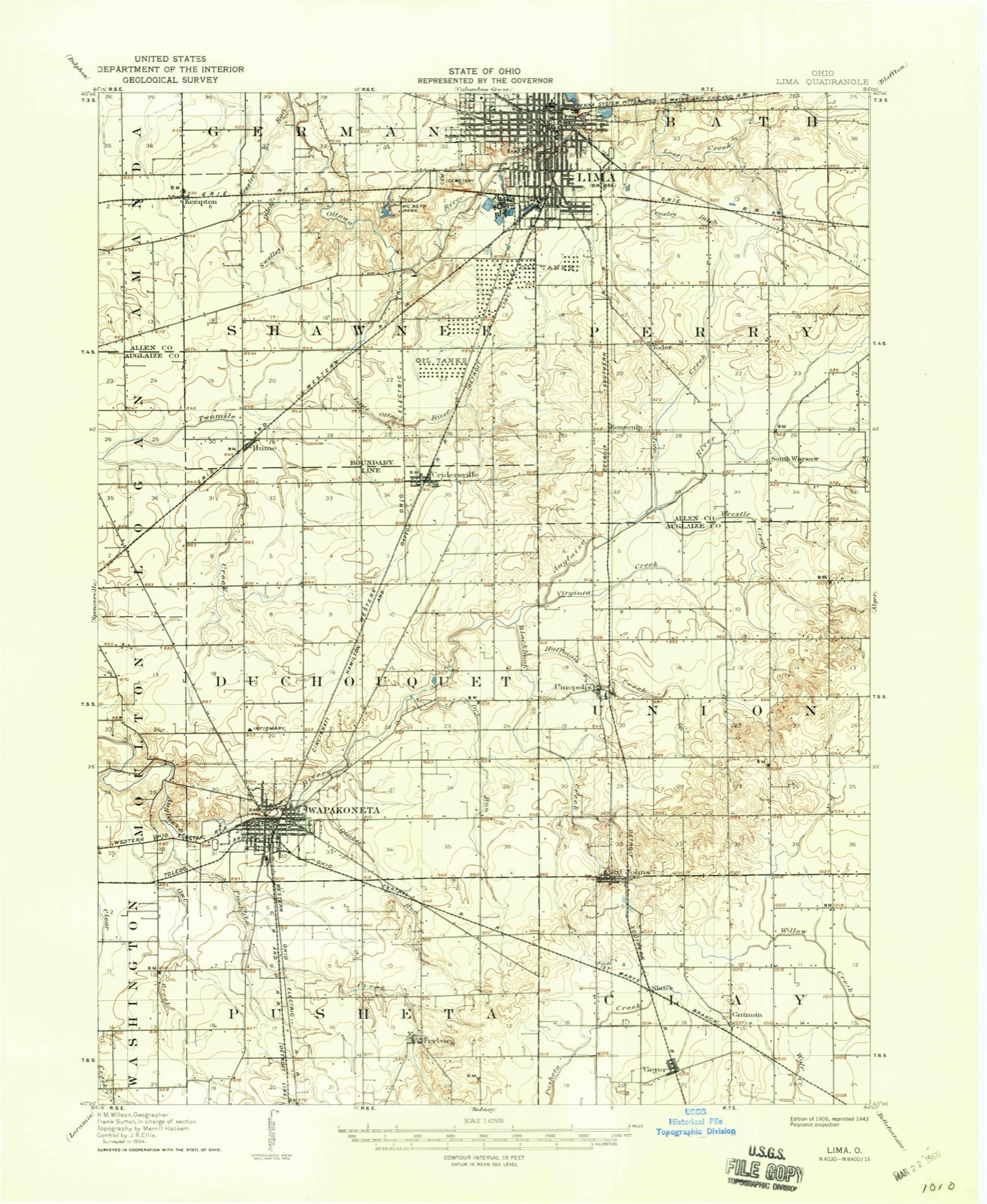
14 topographic sheets cover this place, the earliest surveyed in 1906 and the latest in 1986. It stands in Shawnee Township. It lies in ZIP code area 45806. The Survey maps it on the Cridersville quadrangle.
Then and now
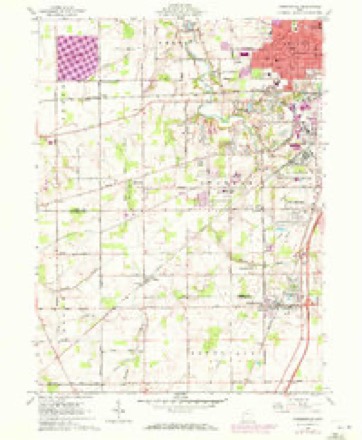
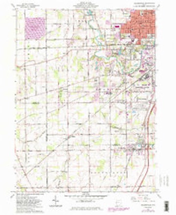
1906 to 1986The same ground, surveyed 80 years apart. Drag the handle to wipe between them. Both sheets are United States Geological Survey originals; neither has been altered.

Topographic sheets covering this place
14 sheetsMatched by testing this settlement's coordinate against the published boundary of every sheet in the United States Geological Survey's historical collection. Each opens the scanned sheet at the Survey.
- 1906 USGS Lima quadrangle1:62500
- 1906 USGS Lima quadrangle1:62500
- 1953 USGS Muncie quadrangle1:250000
- 1953 USGS Muncie quadrangle1:250000
- 1953 USGS Muncie quadrangle1:250000
- 1953 USGS Muncie quadrangle1:250000
- 1953 USGS Muncie quadrangle1:250000
- 1956 USGS Muncie quadrangle1:250000
- 1961 USGS Cridersville quadrangle1:24000
- 1961 USGS Cridersville quadrangle1:24000
- 1961 USGS Cridersville quadrangle1:24000
- 1986 USGS Lima quadrangle1:100000
- 1986 USGS Lima quadrangle1:100000
- 1986 USGS Lima quadrangle1:100000









In the county-history sources
14,379 words on this townshipHistory of Allen County, Ohio. Containing a History of the County, Its Townships, Towns, Villages, Schools, Churches, Industries, Etc; Portraits of Early Settlers and Prominent Men; Biographies; History of the Northwest Territory; History of Ohio; Statistical and Miscellaneous Matter, Etc., Etc, published 1885 names this settlement in its chapter on Shawnee Township. These are the passages that mention it, exactly as the scans read.
Hume Village, Section 20, Shawnee Township, was platted as a railroad town. The Lake Erie & Western Railroad intersects the Tillage ; twenty-two lots lying northwest of the railroad and fifty-seven lots southwest. Main Street rons parallel with the railroad ; Grider Street nins due north and Spencer Street due west It is the center of a rich agricnltoral district, about eight miles southwest of Lima by railroad, and ten by pike-road, within the limits of the old Hog Creek reservation.
Passage source: History of Allen County, Ohio. Containing a History of the County, Its Townships, Towns, Villages, Schools, Churches, Industries, Etc; Portraits of Early Settlers and Prominent Men; Biographies; History of the Northwest Territory; History of Ohio; Statistical and Miscellaneous Matter, Etc., Etc, published 1885.
Col. George C. Johnson, of Piqua, writing in 1874, relates the following story of the burial of Blackhoof : ''The Shawnees never bury their dead until the sun is in the tree-tops, late in the afternoon. On such occasions they generally select six pall-bearers, who carry the corpse to the grave and place it therein, the grave being two-and-a-half or three feet deep. When the chief Blackhoof wbb buried, in 1831, it was in the Indian manner; the corpse was wrapped in a clean, new Indian blanket, and a large quantity of new fine goods, consisting of calico, belts and ribbons were placed about the deceased, who was laid upon a new, clean slab, prepared for the purpose. His gun, tomahawk* knife and pipe were by his side. All the Indians present were in deep distress, having their clothes hanging loosely about them, their hair down on their shoulders, and were painted after the ancient manner. The chiefs sat about smoking, looking in solemn silence upon the remains of the great chief who had led the tribe for nearly one hundred years, had been their faithful counsellor in peace and war, had been present at Braddock's defeat, seventy-six years before, and for nearly a century had been in all the expeditions against the 'Long Knives. ' "
Passage source: History of Allen County, Ohio. Containing a History of the County, Its Townships, Towns, Villages, Schools, Churches, Industries, Etc; Portraits of Early Settlers and Prominent Men; Biographies; History of the Northwest Territory; History of Ohio; Statistical and Miscellaneous Matter, Etc., Etc, published 1885.
For some months before their final departure, the young men of the Shawnees, and the middle-aged, who had not abandoned their old customs, were engaged in a round of dissipation brought on by the mean tricks of wicked traders to cheat the Indians out of every dollar of property they could obtain. Whisky, that bane of the Indian, was largely distributed among the Indians by traders; in fact^ all decency was violated by the wretches who dealt in fire-water. The better portion of the Bhawnees were engaged for weeks in religious ceremonies, dances, and amusements preparatory to their departure. They carefully levelled the graves of their dead, and removed all traces of the same.
Passage source: History of Allen County, Ohio. Containing a History of the County, Its Townships, Towns, Villages, Schools, Churches, Industries, Etc; Portraits of Early Settlers and Prominent Men; Biographies; History of the Northwest Territory; History of Ohio; Statistical and Miscellaneous Matter, Etc., Etc, published 1885.
Machine-read from a century-old scan, so expect the errors a machine makes: misspelled names, dropped words, stray characters.
Read the whole chapter on Shawnee Township - it names this place 7 more 7 times.
Specimens collected near this place
12 of 320 shownRegional context, not property-specific evidence. Museums hold 320 specimens collected within 10 miles of Hume between 1893 and 1975: 301 Animalia, 18 Fungi, 1 Plantae. 12 distinct Species records are shown. Collected by *ood, Almen N., Adler, K. K., Amstutz, K. and others. Each is a physical object with a catalogue number, and each entry opens the museum's record. This is what was collected and kept, not a survey of what lives here - nothing can be concluded from a species being absent.
| Image | Species | Year | Collected by | Where, as recorded |
|---|---|---|---|---|
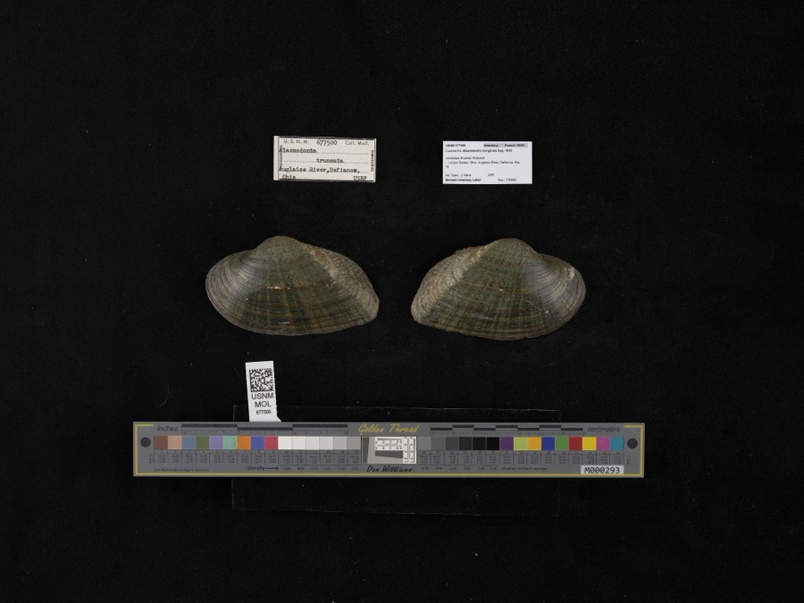 | Alasmidonta marginata Say, 1818 | 1908 | not recorded | Auglaize River, Defiance |
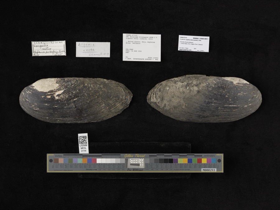 | Ligumia recta (Lamarck, 1819) | 1908 | Bureau of Fisheries | Auglaize River, Defiance |
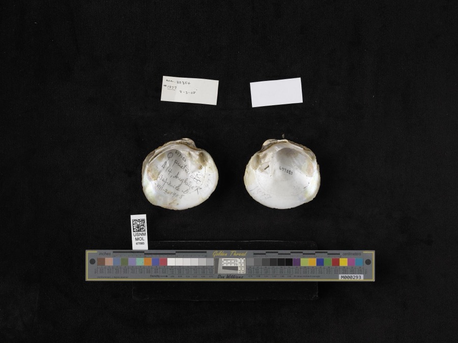 | Quadrula pustulosa (I.Lea, 1831) | 1908 | not recorded | Auglaize River, Defiance |
 | Lepomis cyanellus Rafinesque, 1819 | 1893 | P. Kirsch | Lost Creek, Lima, Ohio |
 | Amanita frostiana (Peck) Sacc. | 1902 | C. W. Dawson | Lima |
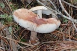 | Amanita rubescens Pers. | 1902 | C. W. Dawson | Lima |
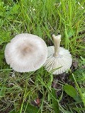 | Amanita vaginata (Bull.) Lam. | 1902 | C. W. Dawson | Lima |
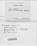 | Flammula sapinea (Fr.) P.Kumm. | 1902 | C. W. Dawson | Lima |
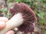 | Laccaria ochropurpurea (Berk.) Peck | 1902 | C. W. Dawson | Lima. |
 | Lactarius piperatus (L.) Pers. | 1902 | C. W. Dawson | Lima |
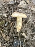 | Lactarius pyrogalus (Bull.) Fr. | 1902 | C. W. Dawson | Lima |
| Lactarius subvelutinus Peck | 1902 | C. W. Dawson | Lima |
All 320 specimens within 10 miles, at the Global Biodiversity Information Facility.
Mines and quarries near this place
1 within 5 milesRegional context, not property-specific evidence. The federal mineral resources record lists 1 working within 5 miles of Hume: 1 past producer. None of them still produces. What was taken out: Sand and Gravel, Construction. Distance is straight-line from the map coordinates, so a quarry counted here may appear on a neighbouring settlement's page as well.
| Where | Site | Commodity | Status | Recorded |
|---|---|---|---|---|
| Fouremans Pit | Sand and Gravel, Construction | Past Producer | Sedimentary |
Nearest settlements
The eight closest, with where each one stands in the county. Distances are straight-line, computed from the Geographic Names Information System coordinates.
Provenance
This settlement is recorded in the Geographic Names Information System as feature 1048858. The sheet list is computed by point-in-boundary test against the United States Geological Survey's historical topographic inventory. Both are works of the United States government and carry no copyright under 17 U.S.C. 105.
Specimens. Global Biodiversity Information Facility (GBIF), https://www.gbif.org/. Only records licensed CC0 or CC BY are used. Records licensed CC BY-NC are excluded because this site carries advertising. Images are checked individually and any whose licence is non-commercial, no-derivatives or unreadable is refused.
Mines and quarries. USGS Mineral Resources Data System (MRDS) https://mrdata.usgs.gov/mrds/ A work of the United States government, no copyright under 17 U.S.C. 105.