66 topographic sheets and 21 fire insurance
atlases across 3 places.
Research this county
This curated hub for Allen County, Ohio brings together the page's documented record links, visible map or image evidence where published, and routes to related local records.
Use the page's provenance and linked records to distinguish the source material from the site's navigation and summaries.
How should I cite it?
Open the original record, preserve its repository and identifier, then use the citation tool for this page as a path back to the source.
Where should I go next?
Follow the county or state hub for related places and records, then use the guide for a source-aware research sequence.
From the record
26 National Register listings · 27 businesses named in the fire insurance atlases from 1887 to 1921 · the 1885 county history tells 0 stories and names 3 people · people the book names include By Hon. S. D. Crites (Bath Township, 1906) · U. 8. Lands Entered In Amanda 1822-54 (Amanda Township, 1885) (machine-read).
Ohio within the United StatesAllen County within Ohio
Explore by year
What the record shows
3 places in this county were surveyed for fire insurance: Lima, Spencerville, Bluffton, between 1887 and 1957.
21 fire insurance atlas(es) survive for the county. Topographic coverage is national; fire insurance survey reached only incorporated places with something worth insuring.
562 topographic sheet readings cover the county's settlements.
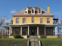
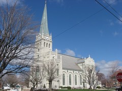
26 properties here are on the National Register of Historic Places, including 4 houses and farms.
5 of the 26 listings were added during the 1970s.
The Geographic Names Information System records 39 populated places in this county; 0 are covered by at least one topographic sheet.
3 public-domain county histories, 1885 to 1906, supply 391,504 words of narrative reproduced here in full.
Photographs
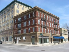
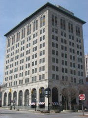
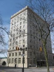
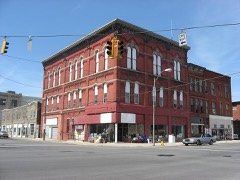
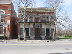
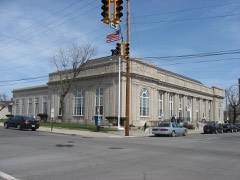
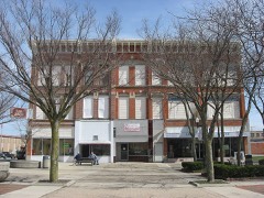
1 photograph,
Taken for the Office of War Information and
the Farm Security Administration, who photographed the country between
1935 and 1944. Works of United States government photographers, with no
known restriction on use. Each opens its catalogue record.
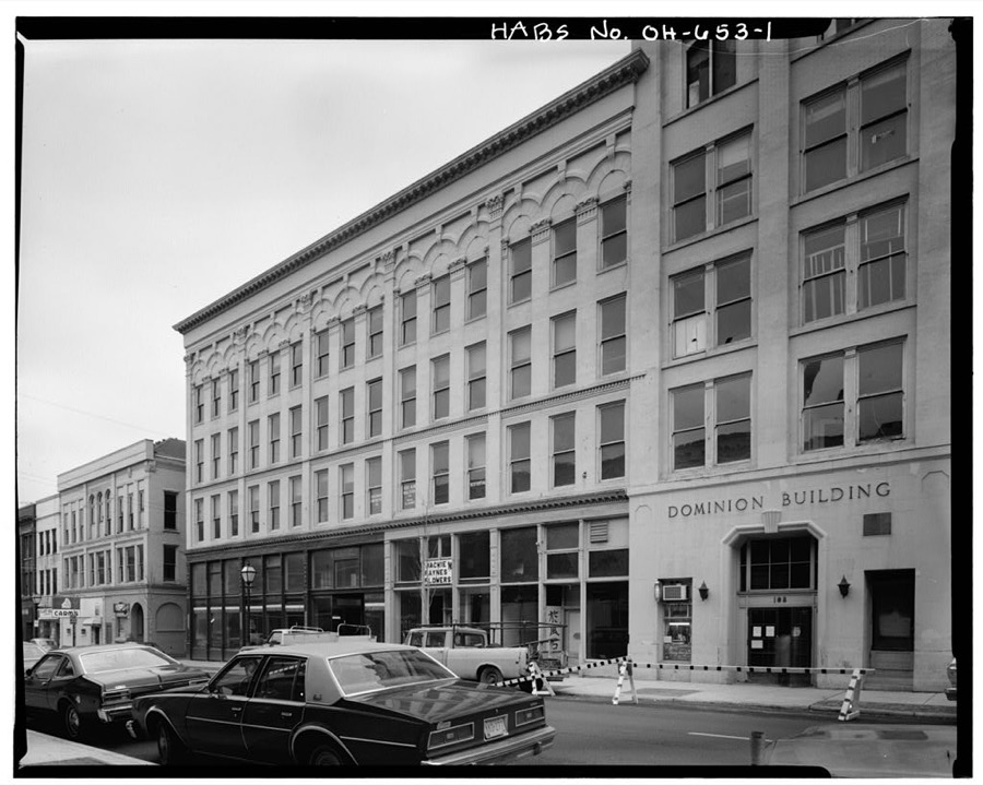
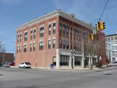
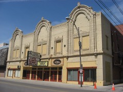
Holland Block Annex, 112-116 East High Street, Lima, Allen County, OH Unattributed, . Library of Congress
Places on the National Register
26
Every property in this county listed on the
National Register of Historic Places, with the year it was listed and the
federal nomination document.
Allen County holds 0 covered bridges on
the National Register, more than any other property type here. Each is a listed
structure with a federal nomination on file.
Digitised newspapers
5 issues
Sampled issues, machine-read from the
Library of Congress scan and published page by page, so every headline
and column is searchable text.
The Bluffton News
Bluffton, Ohio, 1875 to Current. Machine-read from the Library of Congress scan.
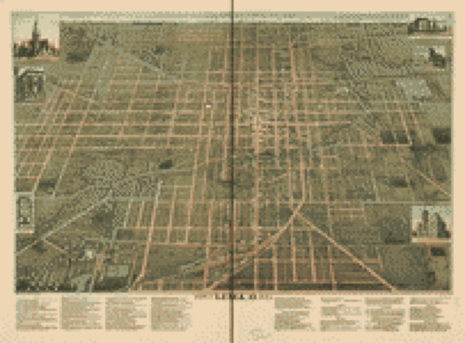
Drawn when these were printed as
single large sheets: the town seen from the air, and the county
divided into its farms with every owner named. Each opens the
original at the Library of Congress.
Bird's-eye view (1892) - City of Lima, O. 1892. Library of Congress.
Photographs from libraries nationwide
3 of 24 shown
Selected from the Digital Public Library
of America's 24 image records catalogued for this county. Every
one shown here carries a public-domain status or a licence that permits
reuse on a site that carries advertising; non-commercial, share-alike
and restricted images are excluded. The selection is spread across the
county's towns (at most eight per town), so no single institution's
bulk upload crowds out the rest. Each opens the holding library's
record, and
the complete set at the
Digital Public Library of America is one click away.
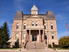
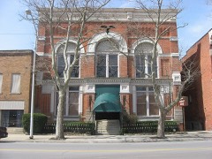
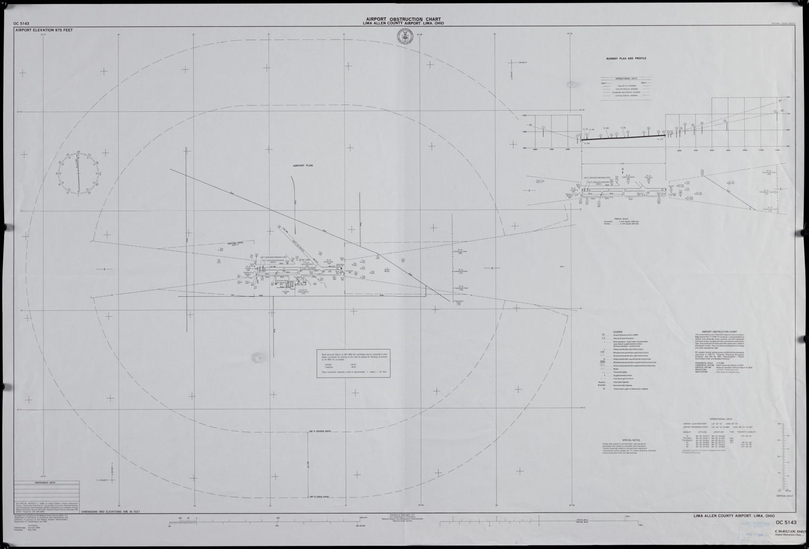
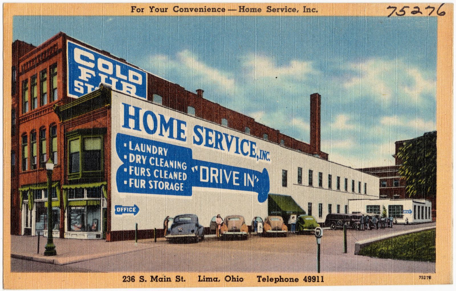
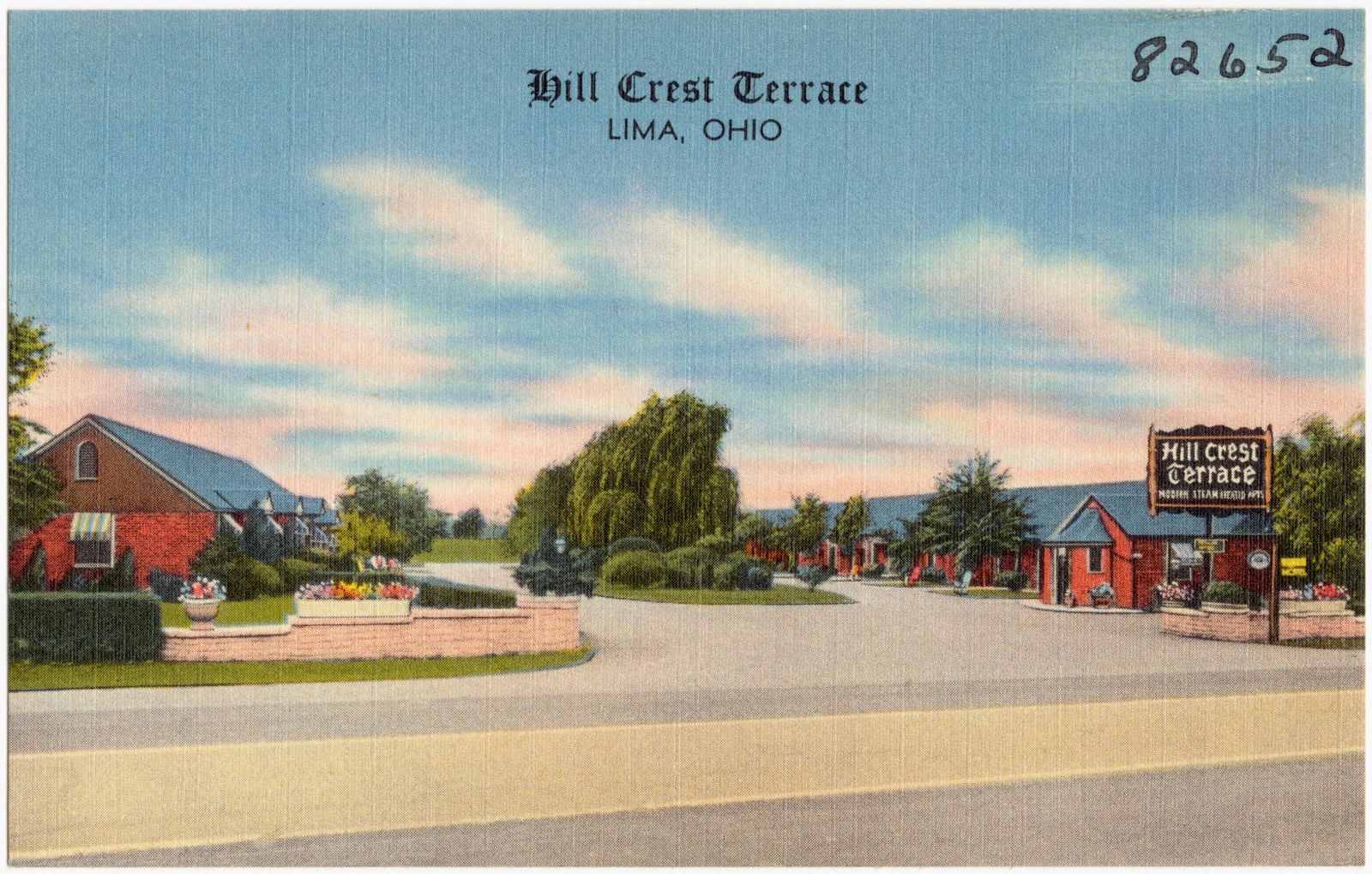
Airport obstruction chart, OC 5143, Lima Allen County Airport, Lima, Ohio. United States. National Ocean Service, Boston Public Library, via the Digital Public Library of America.For your convenience -- Home Services, Inc., 236 S. Main St., Loma, Ohio, Telephone 49911. Boston Public Library, via the Digital Public Library of America.Hill Crest Terrace, Lima, Ohio. Boston Public Library, via the Digital Public Library of America.
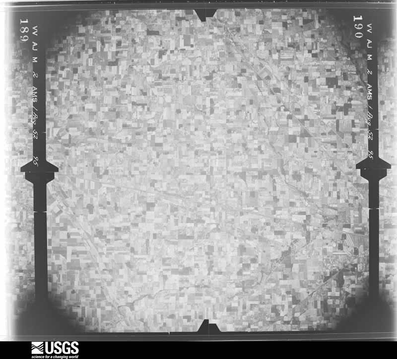
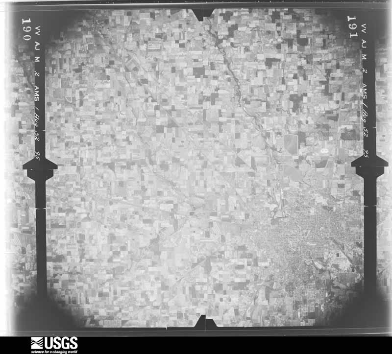
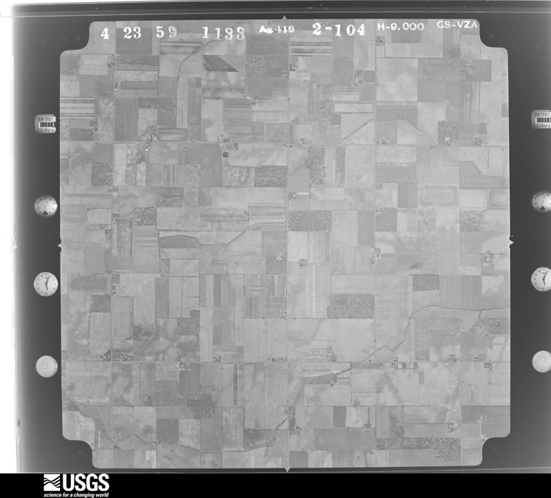
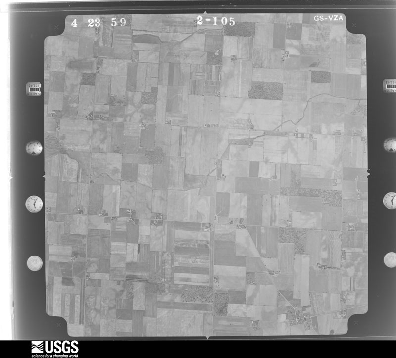
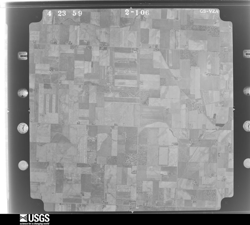
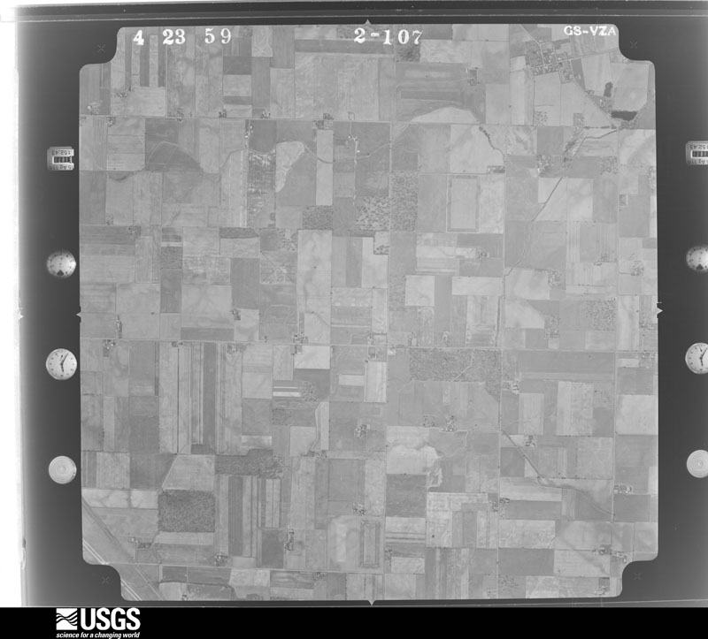
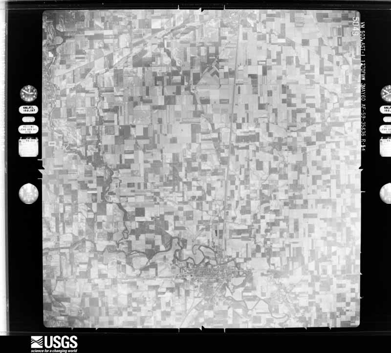
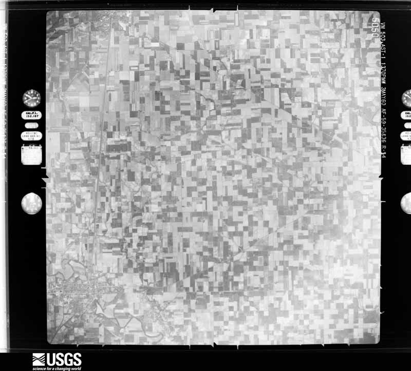
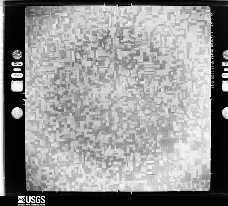
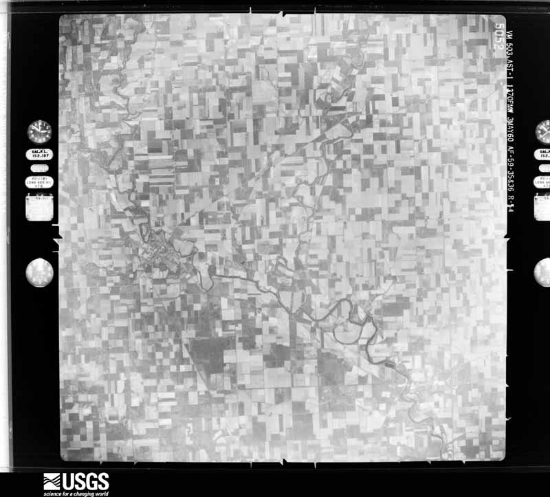
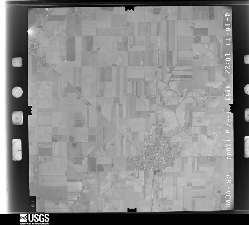
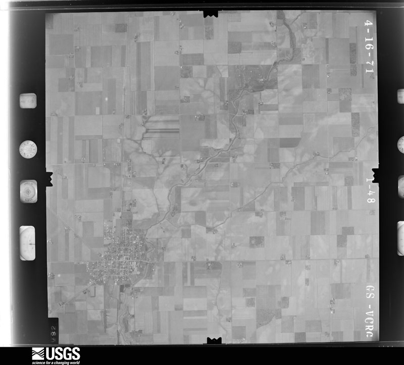
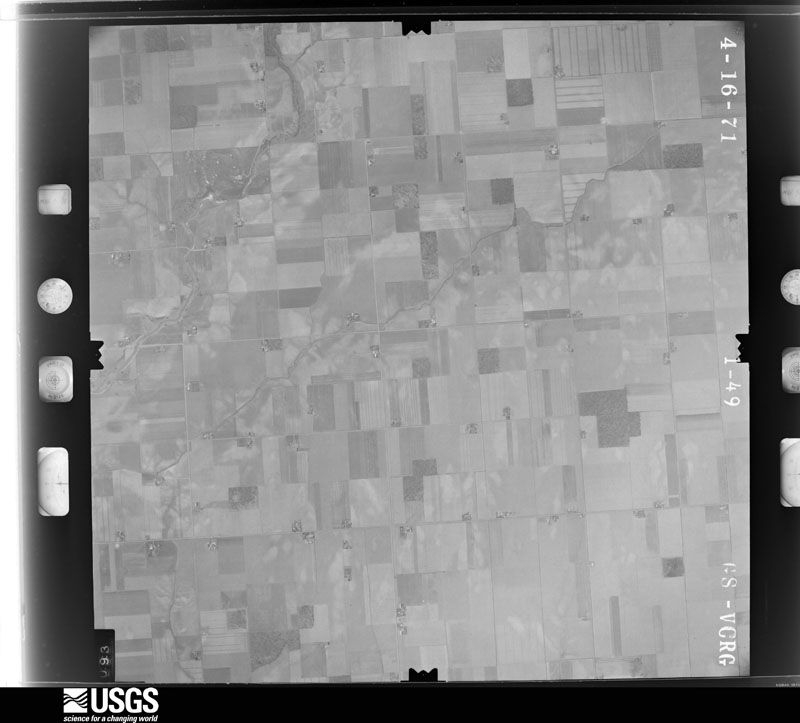
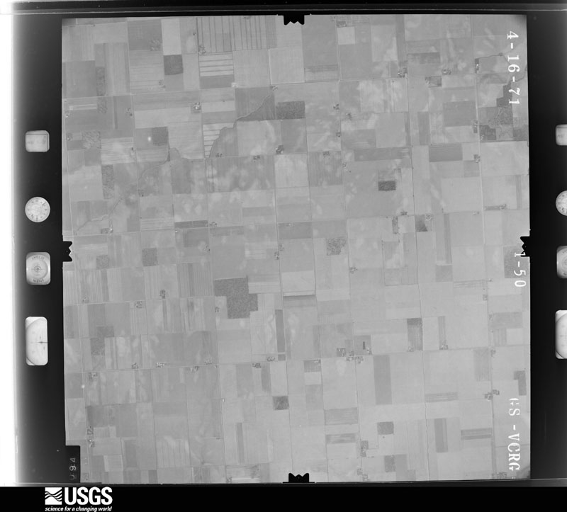
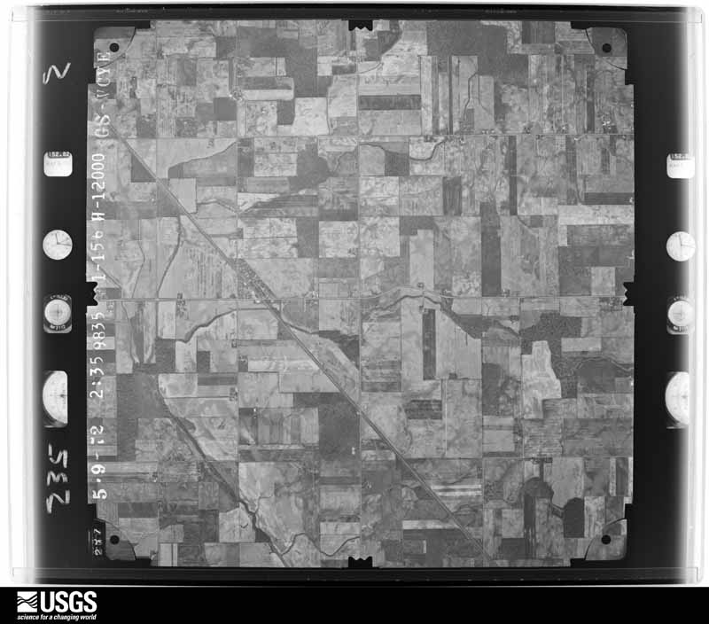
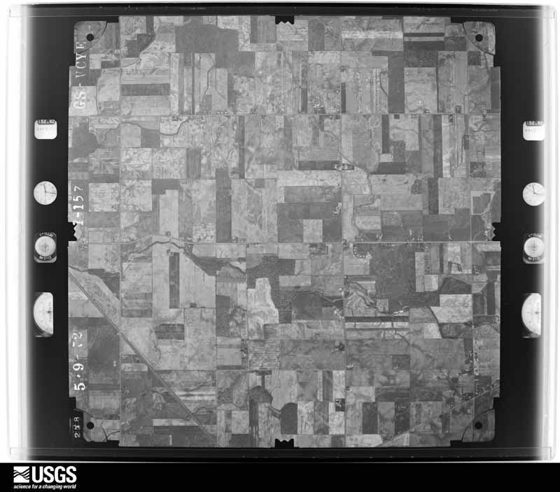
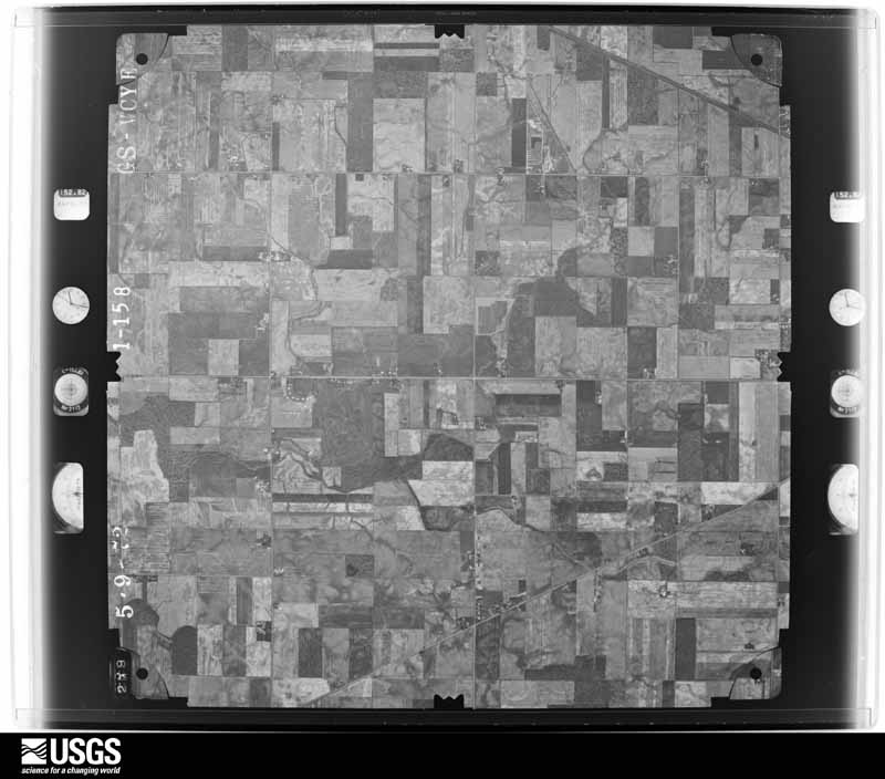
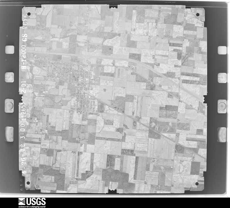
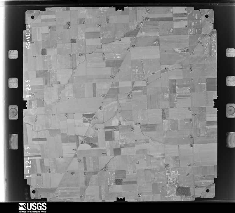
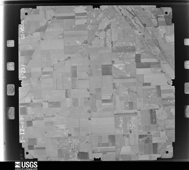
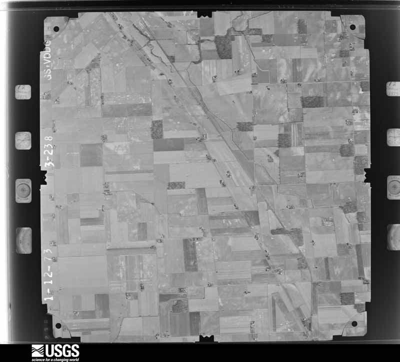
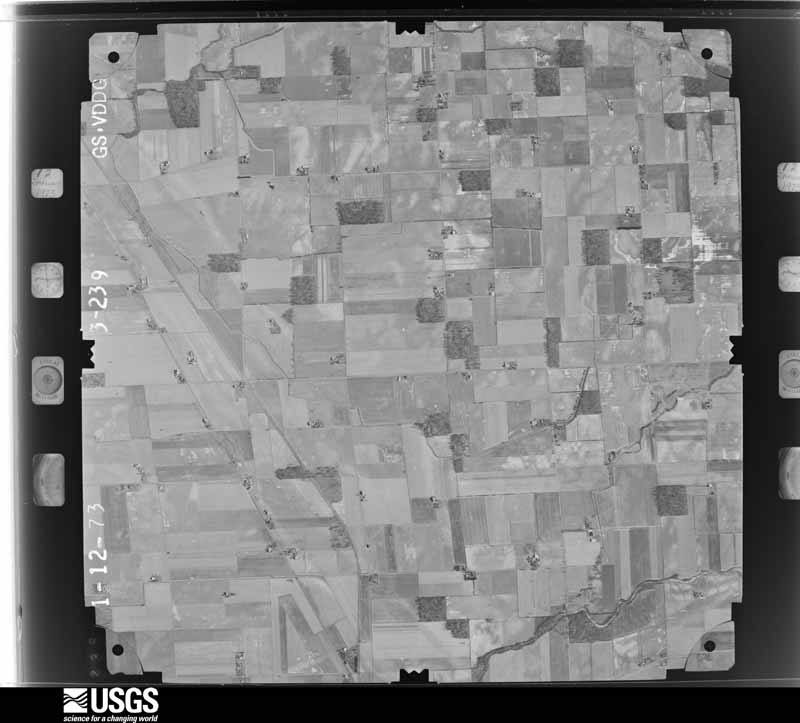
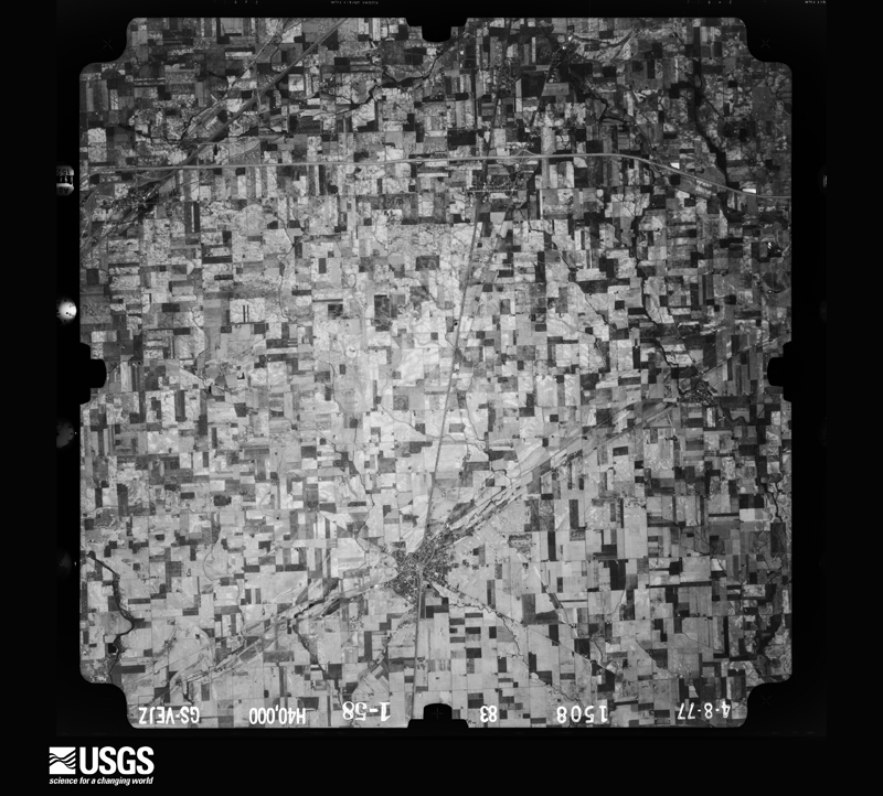
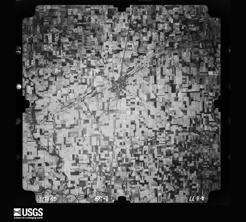
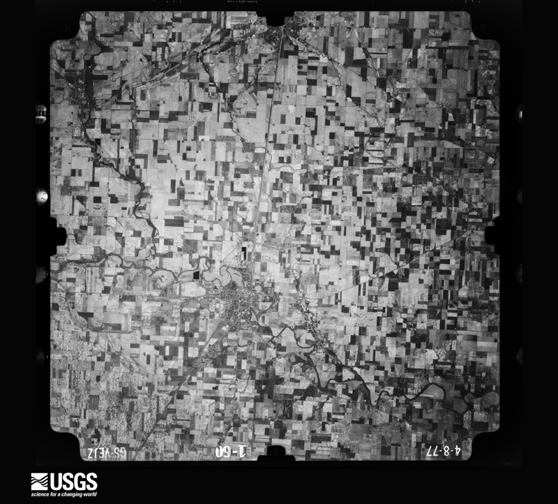
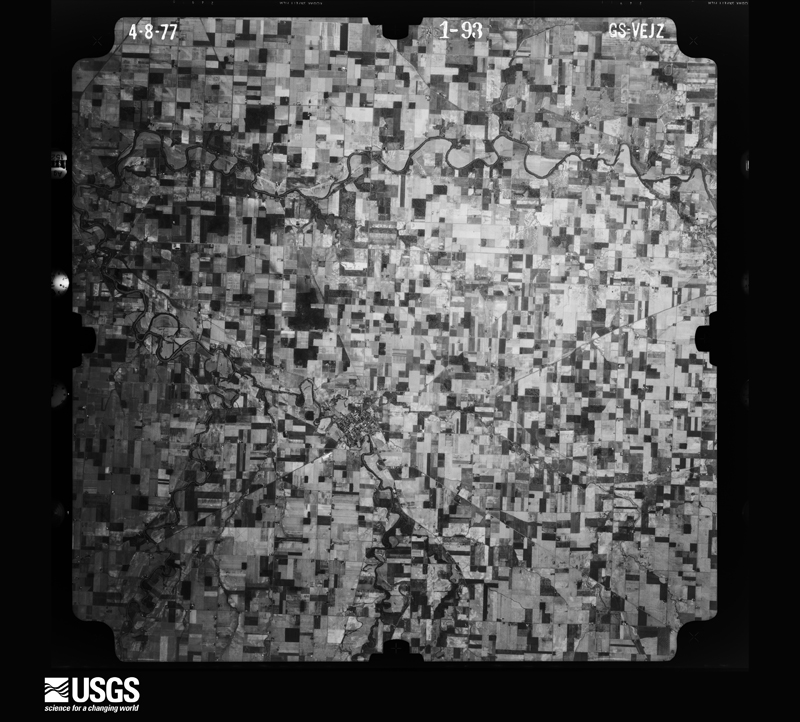
The county from the air
28 of 532 shown
Flown by the U.S. Geological Survey
between 1937 and 1989, the Aerial Photo Single Frames collection is
the definitive mid-century view of the land: fields, roads and rivers
as the camera saw them. 532 frames touch this county; the
selection below spreads across the decades of flights (at most four
per year), so one flight cannot crowd out the rest. The full set is
free to browse and download at
EarthExplorer under the dataset Aerial Photo Single
Frames.
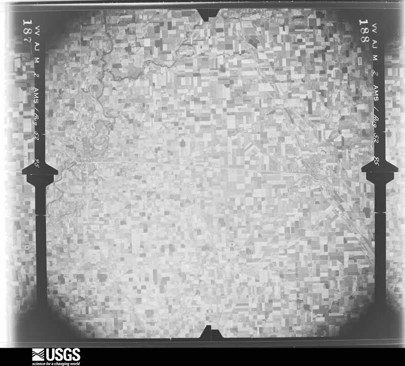
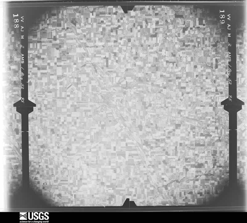
1952-08-01, scale 1:69000. U.S. Geological Survey aerial photograph.1952-08-01, scale 1:69000. U.S. Geological Survey aerial photograph.1952-08-01, scale 1:69000. U.S. Geological Survey aerial photograph.1952-08-01, scale 1:69000. U.S. Geological Survey aerial photograph.1959-04-23, scale 1:18000. U.S. Geological Survey aerial photograph.1959-04-23, scale 1:18000. U.S. Geological Survey aerial photograph.1959-04-23, scale 1:18000. U.S. Geological Survey aerial photograph.1959-04-23, scale 1:18000. U.S. Geological Survey aerial photograph.1960-05-03, scale 1:60000. U.S. Geological Survey aerial photograph.1960-05-03, scale 1:60000. U.S. Geological Survey aerial photograph.1960-05-03, scale 1:60000. U.S. Geological Survey aerial photograph.1960-05-03, scale 1:60000. U.S. Geological Survey aerial photograph.1971-04-16, scale 1:24000. U.S. Geological Survey aerial photograph.1971-04-16, scale 1:24000. U.S. Geological Survey aerial photograph.1971-04-16, scale 1:24000. U.S. Geological Survey aerial photograph.1971-04-16, scale 1:24000. U.S. Geological Survey aerial photograph.1972-05-01, scale 1:24000. U.S. Geological Survey aerial photograph.1972-05-01, scale 1:24000. U.S. Geological Survey aerial photograph.1972-05-01, scale 1:24000. U.S. Geological Survey aerial photograph.1972-05-01, scale 1:24000. U.S. Geological Survey aerial photograph.1973-01-12, scale 1:24000. U.S. Geological Survey aerial photograph.1973-01-12, scale 1:24000. U.S. Geological Survey aerial photograph.1973-01-12, scale 1:24000. U.S. Geological Survey aerial photograph.1973-01-12, scale 1:24000. U.S. Geological Survey aerial photograph.1977-04-01, scale 1:80000. U.S. Geological Survey aerial photograph.1977-04-01, scale 1:80000. U.S. Geological Survey aerial photograph.1977-04-01, scale 1:80000. U.S. Geological Survey aerial photograph.1977-04-01, scale 1:80000. U.S. Geological Survey aerial photograph.
City directories
3 volumes
The "who lived here, by year" answer:
pre-1929 public-domain directory volumes naming the county's people,
machine-read and searchable as text.
The thermometers that kept this
county's weather, and the gages that watched its rivers, as the
federal records hold them. The extremes below are measured values
from those records, not estimates.
CLINTON1893 to 1916, hottest 40.0 C, coldest -31.1 C
LIMA WWTP1901 to 2026, hottest 41.1 C, coldest -27.2 C
Who lived here in 1950, one enumeration
district at a time, as the Census Bureau described each district.
Each row opens its official National Archives result, with Population
Schedules and ED Maps available there.
2-2Lima city, comprising parts of American, Bath, Perry and Shawnee townships: Lima city - That part of Ward 2 in American township Bounded by City limits; Township line; Ashton Ave.; City limits
2-3Lima city - That part of Ward 2 in American township Bounded by City limits, Ashton Ave.; Baxter; Delphos Ave.; City limits
2-4Lima city - That part of Ward 2 in American township Bounded by Ashton Ave.; Metcalf; Delphos Ave.; Baxter
2-5Lima city - That part of Ward 2 in American township Bounded by Ashton Ave.; Township line; Grand Ave.; Metcalf
2-6Lima city - That part of Ward 2 in American township Bounded by Grand Ave.; Township line; Delphos Ave.; Metcalf
2-7Lima city - That part of Ward 2 in American township Bounded by Delphos Ave.; Township line; North; Metcalf
2-8Lima city - That part of Ward 2 in American township Bounded by Delphos Ave.; Metcalf; North; Collett
2-9Lima city - That part of Ward 2 in American township Bounded by Rice Ave.; Collett; North, Allentown Rd.; Cole
2-10Lima city - That part of Ward 2 in American township Bounded by City limits; Cole; Allentown Rd.; City limits
2-11Lima city - That part of Ward 2 in American township Bounded by City limits, Delphos Ave.; Collett; Rice Ave.; Cole
2-12Lime city - That part of Ward 4 in American township Bounded by North; Township line; Spring; Metcalf
2-13Lima city - That part of Ward 4 in American township Bounded by North; Metcalf; Ward line; Rye, Elm, Baxter
2-14Lima city - That part of Ward 4 in American township, excluding St. Rita's Hospital and Training School for Nurses Bounded by Allentown Rd., North; Baxter; Market; Jameson Ave.
2-15St. Rita's Hospital and Training School for Nurses (In Lima city, Ward 4, American township)
2-16Lima city - That part of Ward 4 in American township Bounded by Allentown Rd.; Jameson Ave.; Elm; Kenilworth Ave.
2-17Lima city - That part of Ward 4 in American township Bounded by Allentown Rd.; Kenilworth Ave.; Oakland Parkway; City limits
2-18Lima city - That part of Ward 4 in American township Bounded by Oakland Parkway; Kenilworth Ave.; Elm; City limits
2-19Lima city - That part of Ward 4 in American township Bounded by Elm[; Rosedale Ave.; City limits; City limits
2-20Lima city - That part of Ward 4 in American township Bounded by Elm; Charles; Lakewood Ave.; Rosedale Ave.
2-21Lima city - That part of Ward 4 in American township Bounded by Elm; Rye; Ottawa River, City limits; Rosedale Ave., Lakewood Ave., Charles
2-22Lime city - That part of Ward 4 in American township Bounded by Market; Baxter; Elm; Jameson Ave.
2-23Lima city - That part of Ward 4 in American township Bounded by Spring; McDonel; Ottawa River; Metcalf
2-24Lima city - That part of Ward 4 in American township Bounded by Spring; Township line; Ottawa River; McDonel
2-25Lima city - That part of Ward 6 in American township Bounded by Ottawa River; Township line; Township line
2-26Lima city - That part of Ward 1 in Bath township Bounded by City limits; City limits; Findlay Road, Flanders Ave.; Baltimore and Ohio Railroad
2-27Lima city - That part of Ward 1 in Bath township Bounded by City limits; City limits, Baltimore and Ohio Railroad; Grand Ave.; Main
2-28Lima city - That part of Ward 1 in Bath township, excluding Waldo Hotel Bounded by Grand Ave.; Union; Market; Main
2-29Waldo Hotel (In Lima city, Ward 1, Bath township)
2-30Lima city - That part of Ward 1 in Bath township, excluding Barr Hotel Bounded by Grand Ave.; Baltimore and Ohio Railroad, Pennsylvania Railroad, Pine, North, Jackson; Market; Union
2-31Barr Hotel (In Lima city, Ward 1, Bath township)
2-32Lima city - That part of Ward 1 in Bath township Bounded by Flanders Ave., Findley Rd., City limits; City limits; Ottawa River, Pennsylvania Railroad; Baltimore and Ohio Railroad
2-33Lima city - That part of Ward 1 in Bath township Bounded by Pennsylvania Railroad, Ottawa River; Detroit, Toledo and Ironton Railroad; Market, Ward line, Market; Jackson, North, Pine
2-34Lima city - That part of Ward 1 in Bath township Bounded by Ottawa River, City limits; City limits; Market; Detroit, Toledo and Ironton Railroad
2-35Lima city - That part of Ward 2 in Bath township Bounded by City limits; Main; Robb Ave.; Township lime
2-36Lima city - That part of Ward 2 in Bath township Bounded by Robb Ave.; Main; Grand Ave.; Township line
2-37Lima city - That part of Ward 2 in Bath township Bounded by Grand Ave.; Main; North; Township line
2-38ALima city - That part of Ward 3 in Bath township, excluding Lima Memorial Hospital and Training School for Nurses Bounded by Ward line, Market; City limits; Bellefontaine Ave.
2-38BLima Memorial Hospital and Training School for Nurses (In Lima city, Ward 3, Bath township)
2-39Lima city - That part of Ward 3 in Bath township Bounded by Bellefontaine Ave.; Township line; Detroit, Toledo and Ironton Railroad
2-40Lima city - That part of Ward 3 in Bath township Bounded by Bellefontaine Ave.; Detroit, Toledo and Ironton Railroad; Township line; Harrison Ave.
2-41Lima city - That part of Ward 3 in Bath township Bounded by Market, Ward line; Bellefontaine Ave., Harrison Ave.; Elm; Jackson
2-42Lima city - That part of Ward 3 in Bath township, excluding Kirwan Hotel Bounded by Market; Jackson; Eureka; Main
2-43Kirwan Hotel (In Lima city, Ward 3, Bath township)
2-44Lima city - That part of Ward 3 in Bath township Bounded by Elm; Harrison Ave.; Eureka; Jackson
2-45Lima city - That part of Ward 3 in Bath township Bounded by Eureka; Harrison Ave.; Township line; McPheron Ave.
2-46Lima city - That part of Ward 3 in Bath township Bounded by Eureka; McPheron Ave.; Township line; Jackson
2-47Lima city - That part of Ward 3 in Bath township Bounded by Eureka; Jackson; Township line; Main
2-48Lima city - That part of Ward 4 in Bath township, excluding Argonne Hotel Bounded by North; Main; Ottawa River; Township line
2-49Argonne Hotel (In Lima city, Ward 4, Bath township)
2-50Lima city - That part of Ward 6 in Bath township Bounded by Ottawa River; Main; Township line; Township line
2-51Lima city - That part of Ward 5 in Perry township Bounded by Township line; City limits; City limits; Sugar
2-52Lima city - That part of Ward 5, in Perry township Bounded by Township line; Sugar; Erie Railroad; Prospect Ave., Michael Ave., Madison Ave.
2-53Lima city - That part of Ward 5 in Perry township Bounded by Township line; Madison Ave., Michael Ave., Prospect Ave.; Erie Railroad; St. Johns Ave., Baltimore and Ohio Railroad
2-54Lima city - That part of Ward 5 in Perry township Bounded by Township line; Baltimore and Ohio Railroad, Central Ave.; 2nd; Main
2-55Lima city - That part of Ward 5 in Perry township Bounded by St. Johns Ave., Erie Railroad, Hughes Ave.; 2nd; Central Ave., Baltimore and Ohio Railroad
2-56Lima city - That part of Ward 5 in Perry township Bounded by Erie Railroad; Milburn Ave.; Holmes Ave.; Hughes Ave.
2-57Lima city - That part of Ward 5 in Perry township Bounded by Erie Railroad; Sugar; City limits; St. Johns Ave., 3rd, Milburn Ave.
2-58Lima city - That part of Ward 5 in Perry township Bounded by Holmes Ave.; Milburn Ave., 3rd, St. Johns Ave.; City limits; Hughes Ave.
2-59Lima city - That part of Ward 5 in Perry township Bounded by 2nd; Hughes Ave.; 4th; Main
2-60ALima city - That part of Ward 5 in Perry township Bounded by Fourth; Hughes Ave., City limits; Seventh; S. Main
2-60BLima city - That part of Ward 5 in Perry township Bounded by Seventh; City limits; City limits; S. Main
2-61BLima city - That part of Ward 6 in Perry township Bounded by Baltimore and Ohio Railroad; S. Main; 10th; Township line
2-61ALima city - That part of Ward 6 in Perry township Bounded by Township line; S. Main; Baltimore and Ohio Railroad; Township line
2-62Lima city - That part of Ward 6 in Shawnee township Bounded by Township line; Township line; Vine; Atlantic
2-63Lima city - That part of Ward 6 in Shawnee township Bounded by Township line; Atlantic; Vine; Oak
2-64Lima city - That part of Ward 6 in Shawnee township Bounded by Township line; Oak; Vine, Oxford Ave.; Amanda Rd.
2-65Lima city - That part of Ward 6 in Shawnee township Bounded by Township line; Amanda Rd., Oxford Ave., Vine, Metcalf; City limits; City limits
2-66Lima city - That part of Ward 6 in Shawnee township Bounded by Vine; Township line; Erie Railroad; Metcalf
2-67Lima city - That part of Ward 6 in Shawnee township Bounded by Erie Railroad; Township line; City limits; City limits
2-68Westwood, unincorporated, comprising parts of American and Shawnee townships: Westwood, unincorporated - That part in American township Bounded by Allentown Rd. (State Rd. #81); Glenwood Ave.; Market; Cable Ave.
2-69Westwood, unincorporated - That part in American township Bounded by Market; Glenwood Ave., Lima city limits; Township line, Spencerville Rd., (State Rd. #117); Cable Ave., W. Elm, Parkwood Rd., Pears Rd., Cable Ave.
2-70Westwood unincorporated - That part in Shawnee township Bounded by Township line, Spencerville Rd. (State Rd. #117); Gethsemane Cemetery (West Line); Erie Railroad; Rolly Ave.
2-71American township, outside Lima city and Westwood, unincorporated: Elida village
2-72BAmerican township - That part Bounded by Township line; Cole St. Rd.; Diller Rd.; Penn Railroad, Elida village limits, Pennsylvania Railroad, Township line
2-72AAmerican township - That part Bounded by Diller Rd., Cole St. Rd., Township line; Township line, Lima city limits; Lima city limits, Penn Railroad
2-73American township - That part southwest of Pennsylvania Railroad, outside Elida village, Lima city and Westwood unincorporated. (See separate map for boundaries of Westwood) (Remainder of American township is in Lima city and Westwood, unincorporated)
2-75Auglaize township - That part east of Center Rd., and State Rd., #117, outside Harrod Village
2-76Auglaize township - That part west of Center Rd., and State Rd., #117
2-77Bath township, outside Lima city: Bath township - That part northwest of U.S. Hwy. 25, outside Lima city and excluding Lima State Hospital for the Criminal insane
2-78Lima State Hospital for the Criminal insane (In Bath township)
2-79Bath township - That part southeast of U.S. Hwy. 25, outside Lima city (Remainder of Bath township is in Lima city)
2-81Jackson township - That part north of State Rd., 81, outside Lafayette village
2-82Jackson township - That part south of State Rd., 81, outside Lafayette village
2-83Marion township: Delphos city - That part in Allen County, comprising part of Marion township: Delphos city - That part of Ward 1 Bounded by City limits; City limits; E. 7th; N. Main
2-84Delphos city - That part of Ward 1 Bounded by E. 7th; City limits; Ward line, E. 3rd; N. Main
2-85Delphos city - That part of Ward 2 Bounded by E. 3rd, Ward line; City limits; E. Cleveland; S. Main, N. Main
2-86Delphos city - That part of Ward 2 Bounded by E. Cleveland; City limits; City limits; S. Main
2-87Delphos city - That part of Ward 3 Bounded by E. 3rd; N. Main, S. Main; City limits; County line
2-88Delphos city - That part of Ward 4 Bounded by City limits; N. Main; E. 3rd; County line (Remainder of Delphos city is in Washington township, Van Wert county)
2-89Marion township - That part north of Ludwig Rd. and Pennsylvania Railroad, outside Delphos city
2-90Marion township - That part south of Ludwig Rd. and Pennsylvania Railroad
2-92Monroe township - That part north of Allstetter States Rd.
2-93Monroe township - That part south of Allstetter States Rd., outside Cairo village
2-94APerry township - That part outside Lima city and excluding Lima Ordnance Depot (part) Bounded by Township line; Township line; McPheron Rd., Schooler Rd., Roethe Rd.; Township line, Hawthorne Rd., Hughes, Lima city limits
2-94BPerry township - That part outside Lima city Bounded by Lima city limits; Hughes St.; Hawthorne Rd., Township line
2-95Lima Ordnance Depot - That part in Perry township (Remainder of Lima Ordnance Depot is in Shawnee township)
2-96Perry township - That part south of Roathe Rd., Schooler Rd. and McPheron Rd. (Remainder of Perry township is in Lima city)
2-98Bluffton village: Bluffton village - That part southeast of Main (U.S. Hwy. 25)
2-99Bluffton village - That part northwest of Main (U.S. Hwy. 25)
2-100Richland township - That part north of Hillville Rd., outside Bluffton village
2-101Richland township - That part south of Hillville Road, outside Beaverdam village
2-102Shawnee township, outside Lima city and Westwood, unincorporated: Shawnee township - That part Bounded by Township line, Spencerville Rd., Rolly Ave., Erie Railroad, West property line of Gethsemane Cemetery, Lima city limits; Lima city limits, Township line; Buckeye Rd., Amanda Rd.; Township line
2-103Shawnee township - That part Bounded by Amanda Rd.; Shawnee Rd.; County line; County line, Township line
2-104Shawnee township - That part, excluding Lima Ordnance Depot (part) Bounded by Amanda Rd., Buckeye Rd.; Township line; County line; Shawnee Rd.
2-105Lima Ordnance Depot - That part in Shawnee township (Remainder of Lima Ordnance Depot is in Perry township) (Remainder of Shawnee township is in Lima city and Westwood, unincorporated)
2-106Spencer township: Spencerville village: Spencerville village - That part east of Miami & Erie Canal
2-107Spencerville village - That part west of Miami & Erie Canal
2-108Spencer township - That part outside Spencerville village
Every Sanborn volume opens with a printed index
naming the town's mills, tanneries, hotels and works by proprietor. Those
indexes were read off the scanned sheets by machine and then matched to each
other, so a business surveyed four times appears here once, with the years it
survived. 1 of these 27 were named in more than one atlas. Each carries a
crop of the line it was read from: the spelling is the recogniser's and the
1880s lithographer's, and the scan behind it is the proof.
The
NOAA Storm Events Database holds
286 reports for this county, causing 11 deaths,
134 injuries and about $9,324,250 in recorded property damage.
Each settlement page carries the reports that name it.
Kind of event
Reports
Thunderstorm Wind
184
Hail
64
Tornado
23
Flash Flood
9
Lightning
3
Flood
2
Heavy Rain
1
The most serious of them, by death, then
injury, then recorded damage. The accounts are quoted exactly as the
forecast office filed them.
Widespread tree and power line damage throughout the city of Lima. Along a strech of Shawnee Rd. from Fort Amanda Rd. to Reed Rd., every power pole and traffic signal was blown over, completely blocking the road. The roof of an automotive shop at Jackson St. and Findlay Rd. collapsed. Numerous homes and businesses sustained roof damage. About two thirds of Allen County was without power. One person was injured by a falling tree, and one person was knocked over by the wind and sustained minor injuries. There were also up to 15 indirect injuries from automobile accidents during the storm.
Sheriff department officials reported extensive flooding in several areas north of U.S. 30, especially around Cairo and Beaverdam. Water up to 1 foot deep was flowing over several roadways. Flash flooding occurred across Interstate 75, south of Mile Marker 138, resulting in closure of the Interstate in both directions. Pictures were also received of high flowing water near the intersection of Hillville Road and Stewart Road, north of Cairo. While no specific details were available, local media reported eight to 10 households suffered serious flooding problems. In addition, the Cairo Branch of the Lima Public Library suffered water damage as six inches of water entered the building. Hundreds of books were ruined as a -result. The threat for life threatening flash flooding ended during the mid-evening hours, but high water remained in several areas into the overnight hours of the 29th.
Law enforcement reported tress and power lines down across the county with much of the damage in and around Lima. A large tree fell on a home and a car. The Lima High school which was under construction had damage to the roof.
A residence was struck by lightning, cause a fire which spread through much of the house, causing extensive damage to the house and an attached garage. Those in the home were able to escape without injury. Damage is estimated at around $80,000.
A empty barn was struck by lightning, resulting in a fire which destroyed the barn. An adjacent house suffered heat damage to the siding but the house, which was vacant, never caught fire. Damage for both is estimated at around $40,000.
A weak tornado destroyed a grain bin and carried the bin into a|nearby field for about a half mile before dissipating. Maximum|winds were 75 mph with a width of 50 yards.
Brief touchdown near the intersection of U.S. route 30 and Pevee Rd. The roof of one home was destroyed, with another home sustaining significant roof damage. The tornado also resulted in crop damage in the area.
This tornado was a continuation of the track of the Cridersville EF2 tornado. The tornado again briefly lifted prior to the Auglaize and Allen county line and then touched down again in Allen County near McClain Road, north of Hume Road. At this location a quarter of a metal roof was pulled off of a metal barn. No further damage was found beyond this location. Damage is estimated at around $8000.
Emergency management officials reported a portion of the roofing on a barn was removed. In addition, a power pole and several lines were blown down. Damage is estimated at $7,500.
Trees were downed into power lines at Lima. In Spencerville, winds knocked down live power lines onto a car. A family of three had to be rescued from the car. No injuries occurred.
Canopy on a shopping mall was blown down along with a portion of the wall that it was attached to. 4 blocks to the south several large tree limbs were sheared off from only the lowest 20 feet of the trees.
The Survey's mineral resources record
lists 13 workings inside this county. 7 still
produce and 6 are closed or unrecorded. Each settlement
page carries the workings within five miles of it.
Commodity
Workings
Limestone, General
5
Stone, Crushed/Broken
5
Sand and Gravel, Construction
2
Sulfur
1
The least common of them first, because a
county's hundredth gravel pit says nothing its first ten did not.
Museum specimens collected inside this
county and catalogued with a date and a place: 529 of them, by
kingdom 507 animalia, 19 fungi, 3 plantae. Each is a physical object in a named collection, not a
sighting. Held by Ohio State University - Fish Division, Columbus, OH (OSUM), Ohio State University - Bird Division, Columbus, OH (OSUM), Ohio State University - Reptile Division, Columbus, OH (OSUM), USNM, NY, INHS among others, and each settlement page carries
the specimens collected near it.
The oldest of them. A specimen proves
something was collected on that day; its absence proves nothing.
History of Allen County, Ohio. Containing a History of the County, Its Townships, Towns, Villages, Schools, Churches, Industries, Etc; Portraits of Early Settlers and Prominent Men; Biographies; History of the Northwest Territory; History of Ohio; Statistical and Miscellaneous Matter, Etc., Etc devotes a chapter to each township:
its boundaries and streams, who settled it and when, the mills, the
schools and the churches. All 11 are reproduced here in full. Each row
shows the township's own shape and where it lies in the county, drawn from
the Census Bureau's boundary. Which settlements belong to which township
is computed from that same boundary, not taken from the book.
Everyone History of Allen County, Ohio. Containing a History of the County, Its Townships, Towns, Villages, Schools, Churches, Industries, Etc; Portraits of Early Settlers and Prominent Men; Biographies; History of the Northwest Territory; History of Ohio; Statistical and Miscellaneous Matter, Etc., Etc stops to write about, with
the section that describes them. Among them are the men who founded the
place and governed the Territory. Each name opens the passage itself, in
the words of 1885.
Named settlements recorded in the Geographic Names
Information System, each with the topographic sheets covering it. Villages,
hamlets and abandoned places alike. Each is shown with the watercourse or
landform it stands on and the survey quadrangle it falls on. The 3
places that were also surveyed for fire insurance come first, with the
number of atlases and photographs held for them.
The complete index, with nothing left out.
Each of these is a separate record with its own page: a federal survey
report, or the case file that argued a property on to the National
Register. Both are public domain and reproduced word for word.
Topographic sheets. USGS Historical Topographic Map Collection, county index, measured from the bulk metadata.
Fire insurance maps. Library of Congress Sanborn collection, faceted to this county.
Photographs. Each place queried individually against the Library of Congress Prints and Photographs search.
Wildfire. Short, Karen C. 2022. Spatial wildfire occurrence data for the United States, 1992-2020 [FPA_FOD_20221014]. 6th Edition. Fort Collins, CO: Forest Service Research Data Archive. https://doi.org/10.2737/RDS-2013-0009.6 Collected with United States Government funding and usable without additional permissions or fees.
Specimens. Global Biodiversity Information Facility (GBIF), https://www.gbif.org/. Only records licensed CC0 or CC BY are used. Records licensed CC BY-NC are excluded because this site carries advertising. Images are checked individually and any whose licence is non-commercial, no-derivatives or unreadable is refused.
Mines and quarries. USGS Mineral Resources Data System (MRDS) https://mrdata.usgs.gov/mrds/ A work of the United States government, no copyright under 17 U.S.C. 105.
Storms. NOAA National Centers for Environmental Information, Storm Events Database https://www.ncei.noaa.gov/stormevents/ A work of the United States government, no copyright under 17 U.S.C. 105. Narratives are quoted verbatim from the National Weather Service report and are not edited or summarised.
 Block
Block