 Block
Block
Huron, Ohio
14 topographic sheets cover this place, the earliest surveyed in 1904 and the latest in 1986. It stands in Huron Township. It lies in ZIP code area 44839. It stands on Huron River. The Survey maps it on the Huron quadrangle. 6,922 people lived here at the 2020 count. It stands 584 feet above sea level.
Population over time
2 figuresHuron fell from 7,149 to 6,922 between 2010 and 2020. These are the recorded population figures Wikidata holds for this place, reached through the Geographic Names Information System number this page is keyed on rather than by name, so they belong to this place and not to another of the same name. Most are census counts, but not all are: an early figure may be a founding or settlement estimate. The change column is computed, and is left blank where more than 20 years separate a figure from the one before it, because a gap that long is not a change between two counts.
| Year | People | Change |
|---|---|---|
| 2010 | 7,149 | |
| 2020 | 6,922 | -227 (-3%) |
Then and now
1904 to 1986The same ground, surveyed 82 years apart. Drag the handle to wipe between them. Both sheets are United States Geological Survey originals; neither has been altered.

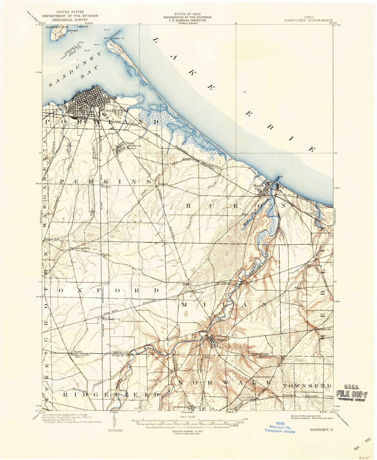
Topographic sheets covering this place
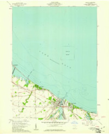
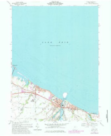
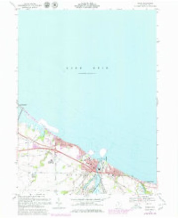
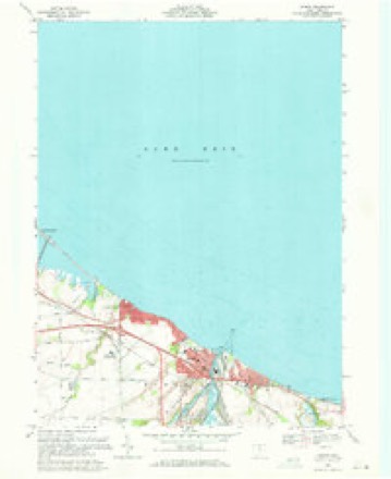
14 sheetsMatched by testing this settlement's coordinate against the published boundary of every sheet in the United States Geological Survey's historical collection. Each opens the scanned sheet at the Survey.
- 1904 USGS Sandusky quadrangle1:62500
- 1904 USGS Sandusky quadrangle1:62500
- 1904 USGS Sandusky quadrangle1:62500
- 1956 USGS Toledo quadrangle1:250000
- 1956 USGS Toledo quadrangle1:250000
- 1956 USGS Toledo quadrangle1:250000
- 1956 USGS Toledo quadrangle1:250000
- 1959 USGS Huron quadrangle1:24000
- 1961 USGS Toledo quadrangle1:250000
- 1969 USGS Huron quadrangle1:24000
- 1969 USGS Huron quadrangle1:24000
- 1969 USGS Huron quadrangle1:24000
- 1986 USGS Lorain quadrangle1:100000
- 1986 USGS Lorain quadrangle1:100000







In the county-history sources
4,953 words on this townshipA Standard History of Erie County, Ohio, published 1916 names this settlement in its chapter on Huron Township. These are the passages that mention it, exactly as the scans read.
The Township of Huron is irregular in form on account of its bordering on Lake Erie. The greatest length is from east to west, and the greatest width is at the western side where it extends from Milan Township on the south across part of Sandusky Bay and the base of Cedar Point to Lake Erie, whose turbulent and shallow waters wash its whole northern side, and at various points on the shores have dug away many acres of once valuable farming land. The Huron River, which enters the township from Milan and flows diagonally across the eastern portion, emptying into the lake at the eastern side of the Town of Huron, is a deep stream, with rather abrupt, though not high banks.
Passage source: A Standard History of Erie County, Ohio, published 1916.
The river is navigable for quite large vessels for several miles, and for small boats for a much greater distance. Its mouth forms one of the best harbors on the south shore of Lake Erie, which made Huron an important point and caused it to be, probably, the first town settled in the Firelands. Early travelers coming up the lake in small boats found the Huron River an easy means of penetrating into the back country, and in the earlier times, explorers may have portaged across to the tributaries of the Ohio and found their way to the Mississippi.
Passage source: A Standard History of Erie County, Ohio, published 1916.
The land east of Huron river, at the time of the first settlement, was covered with a dense forest, about half being second growth and the rest heavy timber. Much of it was white oak, used for ship timber.
Passage source: A Standard History of Erie County, Ohio, published 1916.
Machine-read from a century-old scan, so expect the errors a machine makes: misspelled names, dropped words, stray characters.
Read the whole chapter on Huron Township - it names this place 31 more 31 times.
Specimens collected near this place
12 of 2,842 shownRegional context, not property-specific evidence. Museums hold 2,842 specimens collected within 10 miles of Huron between 1860 and 1975: 1,346 Animalia, 1,207 Plantae, 256 Fungi, 26 Chromista, 7 Protozoa. 12 distinct Species records are shown. Collected by ?, A. Dowdy, A. F. Satterthwait and others. Each is a physical object with a catalogue number, and each entry opens the museum's record. This is what was collected and kept, not a survey of what lives here - nothing can be concluded from a species being absent.
| Image | Species | Year | Collected by | Where, as recorded |
|---|---|---|---|---|
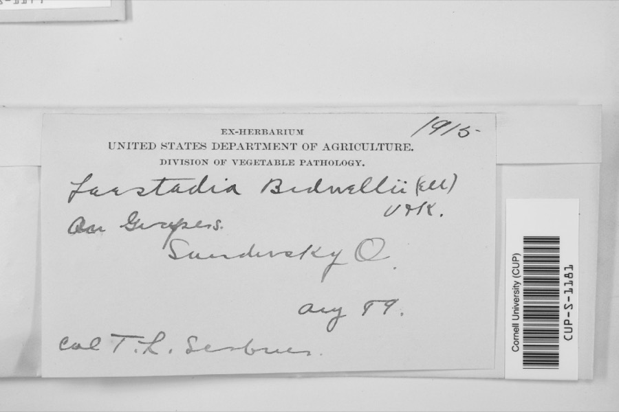 | Laestadia bidwellii (Ellis) Viala & Ravaz | 1899 | F.L. Scribner | |
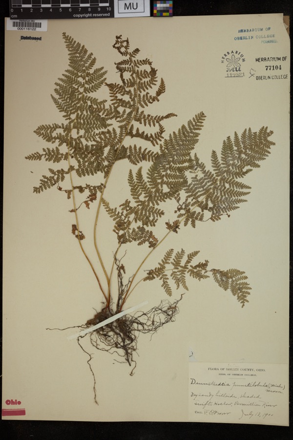 | Dennstaedtia punctilobula (Michx.) T.Moore | 1900 | Grover, F.O. | "Dry sandy hillside, shaded |
 | Perca Linnaeus, 1758 | 1860 | Smithsonian Institution | Sandusky |
 | Vermivora chrysoptera (Linnaeus, 1766) | 1868 | No Person (Birds) | Taylor |
 | Carduus nutans L. | 1874 | Jones, G.T. | Berlin Twp., just W of Ceylon |
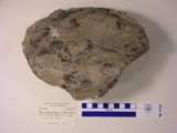 | Macropetalichthys rhapheidolabis Norwood & Owen, 1846 (fossil) | 1881 | D. S. Young | |
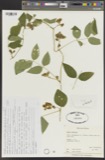 | Apios tuberosa Moench | 1885 | Wilkinson, E. | Cedar Point |
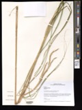 | Spartina pectinata Bosc ex Link | 1885 | Wilkinson, E. | Cedar Point |
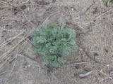 | Artemisia caudata Michx. | 1886 | Wilkinson, E. | Cedar Point |
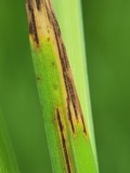 | Graminopassalora graminis (Fuckel) U.Braun, C.Nakash., Videira & Crous | 1886 | William Trelease; A. Commons | Madison |
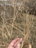 | Panicum virgatum L. | 1886 | Wilkinson, E. | Cedar Point |
| Apocynum sibiricum Jacq. | 1896 | Watson, J.R. | North Ohio |
All 2,842 specimens within 10 miles, at the Global Biodiversity Information Facility.
Mines and quarries near this place
5 within 5 milesRegional context, not property-specific evidence. The federal mineral resources record lists 5 workings within 5 miles of Huron: 2 past producers, 2 producers, 1 plant. 3 still produce. What was taken out: Sand and Gravel, Construction, Calcium. Distance is straight-line from the map coordinates, so a quarry counted here may appear on a neighbouring settlement's page as well.
| Where | Site | Commodity | Status | Recorded |
|---|---|---|---|---|
| Huron Lime Company Plant | Calcium | Producer | ||
| Horon Plant | Sand and Gravel, Construction | Past Producer | Sedimentary | |
| Huron Plant | Sand and Gravel, Construction | Plant | ||
| Shinrock Pit | Sand and Gravel, Construction | Past Producer | Sedimentary | |
| Shinrock Pit & Plant | Sand and Gravel, Construction | Producer |
Storms near this place
28 since 1996Regional context, not property-specific evidence. The National Weather Service names Huron in 28 storm reports between 1996 and 2023: 11 thunderstorm wind, 10 hail, 3 lightning, 2 flash flood. No death or injury is recorded in these reports. Each account below is quoted exactly as the forecast office filed it, from the NOAA Storm Events Database, and each date opens the federal record of that event.
| When | Event | Place named | Harm | What the report says |
|---|---|---|---|---|
| August 2023 | Flash Flood | Huron | $2,500,000 | Widespread flooding across western and central Erie County, including the cities of Sandusky and Huron, Margaretta Township, Perkins Township, Oxford Township, and Huron Township. Officials estimated hundreds of homes impacted by basement flooding per local media reports. Widespread road closures due to flooding. Some of the roads impacted by flooding include US-6 from the Sandusky city limits to OH-269, Homegardner Road between OH-269 and Bardshar Road, Campbell Street at Pipe Creek, Old Railroad Road at Mills Creek, Bogart Road at Pipe Creek and at Patten Tract Road, Patten Tract Road at Fox Road and Mason Road, Ransom Road at Wood Road, and Hull Avenue at Lawrence Avenue. Huron High School damaged by flooding. Animal shelter needed evacuated due to flooding. Several residents requiring evacuation near Pipe Creek near Columbus Avenue. Cars stranded in underpass on Columbus Avenue. Apartment complex flooded out in the southeast portion of the city of Sandusky. Radar estimated 3 to 4.75 inches of rainfall in a three hour period, with the highest amount along the Lake Erie shoreline from Sandusky to Huron. |
| June 1996 | Lightning | Huron | $350,000 | no account filed |
| May 2010 | Thunderstorm Wind | Huron | $50,000 | Thunderstorm downburst winds estimated to be at least 60 mph caused damage at a mobile home park in Huron. Several mobile homes were damaged and at least one car port was leveled. Several utility poles and trees in the area were also toppled. |
| June 2013 | Thunderstorm Wind | Huron | $20,000 | Thunderstorm winds downed many trees. At least a couple of roads were blocked by fallen trees. |
| May 2010 | Hail | Huron | $15,000 | Half dollar sized hail was observed. |
| May 2011 | Hail | Huron | $10,000 | Thunderstorms produced a swatch of quarter size hail. Damaged windows were reported during this thunderstorm. |
| June 1996 | Flash Flood | Huron | $10,000 | no account filed |
| April 2010 | Thunderstorm Wind | Huron | $5,000 | Thunderstorm winds downed a tree and some large limbs. |
| April 2003 | Thunderstorm Wind | Huron | $2,000 | Thunderstorm winds downed several large tree limbs. |
| June 1996 | Thunderstorm Wind | Huron | $2,000 | no account filed |
| December 1996 | Thunderstorm Wind | Huron | $2,000 | no account filed |
| June 2012 | Thunderstorm Wind | Huron | $1,000 | Thunderstorm winds downed a couple large tree limbs. |
| April 2023 | Thunderstorm Wind | Huron | - | Trees, tree limbs, and utility poles downed about four-miles SSW of Huron. |
| June 2022 | Thunderstorm Wind | Huron | - | Large tree snapped halfway up in Huron. |
| July 2022 | Thunderstorm Wind | Huron | - | Several trees downed in Huron. |
| October 2020 | Hail | Huron | - | Quarter-size hail in Huron. |
| August 2017 | Hail | Huron | - | Hail the size of quarters was observed. |
| July 2017 | Hail | Huron | - | Penny sized hail was observed. |
| August 2016 | Thunderstorm Wind | Huron | - | An automated sensor at the Huron Lighthouse measured a 59 mph thunderstorm wind gust. |
| May 2011 | Hail | Huron | - | Thunderstorms produced quarter size hail. |
| May 2011 | Hail | Huron | - | Thunderstorms produced plain M&M to penny sized hail. |
| April 2010 | Hail | Huron | - | Penny sized hail was observed. |
| April 2005 | Hail | Huron | - | Penny size hail was observed. |
| May 2005 | Hail | Huron | - | Penny size hail was observed. |
| July 2000 | Waterspout | Huron | - | A waterspout was observed on Lake Erie approximately two miles north of Huron. |
| June 1998 | Waterspout | Huron | - | Numerous water spouts were reported on Lake Erie around Huron and Catawba Island. They did not come ashore and no damage was reported. |
| April 1996 | Lightning | Huron | - | no account filed |
| April 1996 | Lightning | Huron | - | no account filed |
Nearest settlements
The eight closest, with where each one stands in the county. Distances are straight-line, computed from the Geographic Names Information System coordinates.
| Map | Place | Distance | Sheets |
|---|---|---|---|
| Chaska Beach | 0.9 miles | 14 | |
| North Palm Beach | 1.2 miles | 14 | |
| Anderson | 1.4 miles | 14 | |
| Grand Forest Beach | 1.5 miles | 14 | |
| Rye beach | 1.8 miles | 14 | |
| Oberlin Beach | 2.7 miles | 14 | |
| Ceylon | 3.6 miles | 14 | |
| Colonial Villa | 3.8 miles | 12 |
Elsewhere
Matched on this settlement's Geographic Names Information System number rather than its name, so it cannot be a different place of the same name in another state.
| Wikipedia article on Huron | An encyclopaedic summary. Its text is share-alike, so it is linked here rather than copied. |
| Wikidata item Q507637 | The structured record the population and elevation above come from. Public domain (CC0). |
Provenance
This settlement is recorded in the Geographic Names Information System as feature 1056347. The sheet list is computed by point-in-boundary test against the United States Geological Survey's historical topographic inventory. Both are works of the United States government and carry no copyright under 17 U.S.C. 105.
Specimens. Global Biodiversity Information Facility (GBIF), https://www.gbif.org/. Only records licensed CC0 or CC BY are used. Records licensed CC BY-NC are excluded because this site carries advertising. Images are checked individually and any whose licence is non-commercial, no-derivatives or unreadable is refused.
Mines and quarries. USGS Mineral Resources Data System (MRDS) https://mrdata.usgs.gov/mrds/ A work of the United States government, no copyright under 17 U.S.C. 105.
Storms. NOAA National Centers for Environmental Information, Storm Events Database https://www.ncei.noaa.gov/stormevents/ A work of the United States government, no copyright under 17 U.S.C. 105. Narratives are quoted verbatim from the National Weather Service report and are not edited or summarised.