 Block
Block
Jacobsburg, Ohio
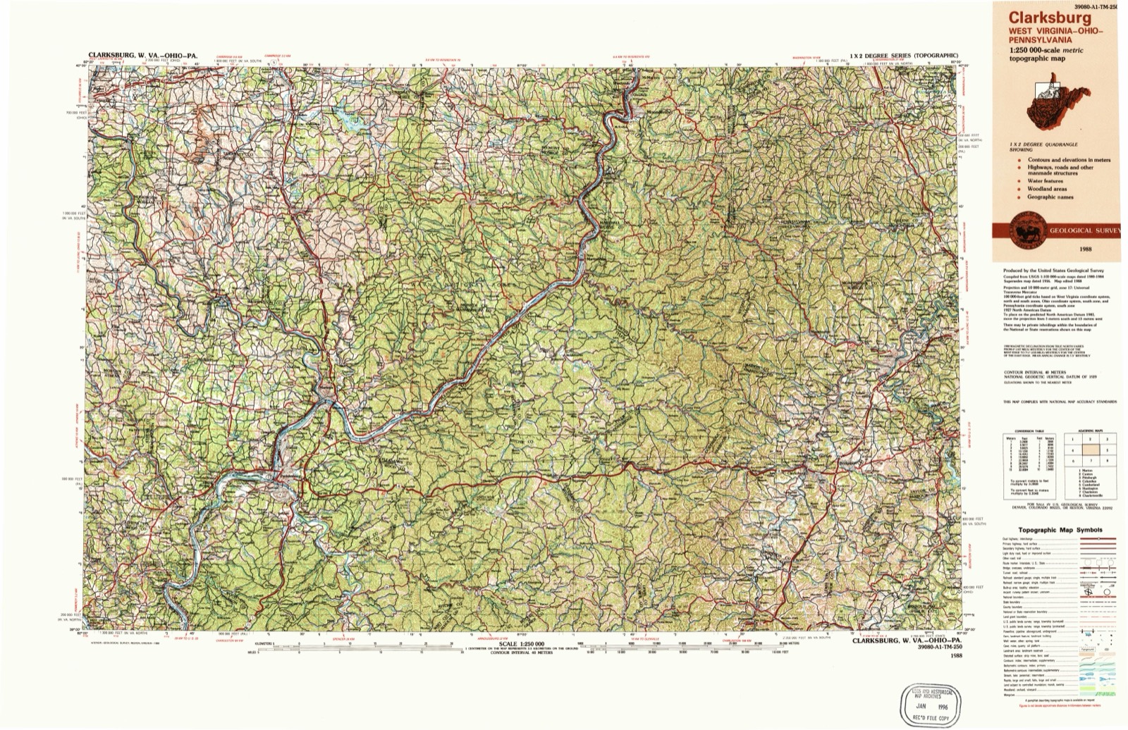
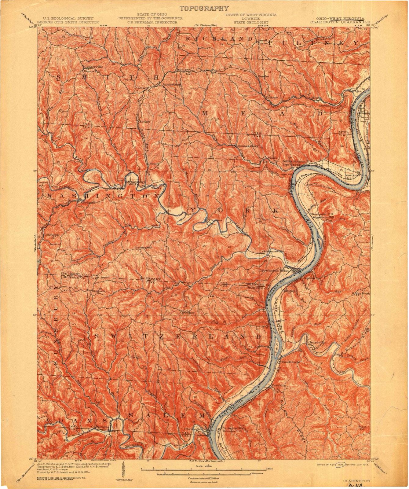
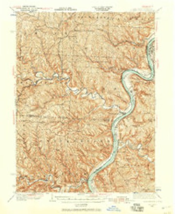
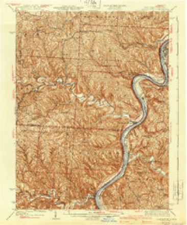
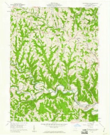
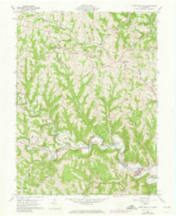
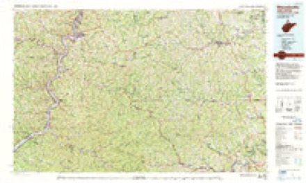
12 topographic sheets cover this place, the earliest surveyed in 1905 and the latest in 1988. It stands in Smith Township. It lies in ZIP code area 43933. The Survey maps it on the Armstrongs Mills quadrangle.
Then and now
1905 to 1988The same ground, surveyed 83 years apart. Drag the handle to wipe between them. Both sheets are United States Geological Survey originals; neither has been altered.
Topographic sheets covering this place
12 sheetsMatched by testing this settlement's coordinate against the published boundary of every sheet in the United States Geological Survey's historical collection. Each opens the scanned sheet at the Survey.
- 1905 USGS Clarington quadrangle1:62500
- 1935 USGS Clarington quadrangle1:62500
- 1935 USGS Clarington quadrangle1:62500
- 1940 USGS Clarington quadrangle1:62500
- 1949 USGS Clarksburg quadrangle1:250000
- 1956 USGS Clarksburg quadrangle1:250000
- 1956 USGS Clarksburg quadrangle1:250000
- 1960 USGS Armstrongs Mills quadrangle1:24000
- 1960 USGS Armstrongs Mills quadrangle1:24000
- 1961 USGS Clarksburg quadrangle1:250000
- 1984 USGS Moundsville quadrangle1:100000
- 1988 USGS Clarksburg quadrangle1:250000





In the county-history sources
6,198 words on this townshipCentennial History of Belmont County, Ohio, and Representative Citizens., published 1903 names this settlement in its chapter on Smith Township. These are the passages that mention it, exactly as the scans read.
According to a report recently made by a corps of engineers that are employed in surveying the county, the highest point attained is in Smith township. The flag station established hy these surveying engineers is upon the summit of Phillips' Knob, a high field adjoining Jacobsburg, and the stone marker bears the inscription "1350 above sea level."
Passage source: Centennial History of Belmont County, Ohio, and Representative Citizens., published 1903.
Yet the Bellaire, Zanesville & Cincinnati Railway, (a little narrow-gauge road) that traverses the southern portion of this township, has climbed up from the Ohio River to within a few feet of this great elevation, a distance of upwards of 700 feet and continues its course over these hills for many miles.
Passage source: Centennial History of Belmont County, Ohio, and Representative Citizens., published 1903.
Rankin, John and Adam Walters, George Holmes and family, and David Snyder in 1806; William Wilson in 1802; William Foreman in 1805 ; Hans Wiley, a native of Ireland, in 1805; Daniel Meyers in 1807; George Klrick in 1807; John Matthews, Frederick and Jacob Anltfather, James Miller from New Jersey, in 1805; Samuel Lucas, Thomas Foster, Jacob Fitch, Samuel and Robert Clark, John McKisson, William Barrett, John Allen, Philip Aller, John Ewers, John Porterfield, Miles Hart, iVifios Glover, Michael Ault, Joseph Rankin, George Holmes, William Piper, Samuel McKirahan, David Randall and Daniel and Adam Walters.
Passage source: Centennial History of Belmont County, Ohio, and Representative Citizens., published 1903.
Machine-read from a century-old scan, so expect the errors a machine makes: misspelled names, dropped words, stray characters.
Read the whole chapter on Smith Township - it names this place 15 more 15 times.
Fires near this place
16 since 2002Regional context, not property-specific evidence. The federal wildfire occurrence database lists 16 fires within 5 miles of Jacobsburg between 2002 and 2020, burning about 34 acres in total. 1 started naturally. 1 was recorded as arson. Distance is straight-line from the map coordinates, so a fire counted here may appear on a neighbouring settlement's page as well.
| Reported cause | Fires |
|---|---|
| Debris and open burning | 7 |
| Missing data/not specified/undetermined | 3 |
| Other causes | 2 |
| Power generation/transmission/distribution | 1 |
| Natural | 1 |
| Recreation and ceremony | 1 |
| Arson/incendiarism | 1 |
The most recent of them, most recent first, with the day each was reported and the service that recorded it.
| Date | Cause | Size | Reported by | Name on the report |
|---|---|---|---|---|
| 26 July 2002 | Natural | under an acre | Ohio State Fire Marshal's Office | not named |
| 16 May 2003 | Debris and open burning | under an acre | Ohio Department of Natural Resources | not named |
| 9 April 2019 | Debris and open burning | under an acre | Ohio Department of Natural Resources | 15137 |
| 30 March 2020 | Recreation and ceremony | under an acre | Ohio Department of Natural Resources | 15559 |
| 30 March 2015 | Power generation/transmission/distribution | under an acre | Ohio Department of Natural Resources | 621 |
| 29 March 2015 | Debris and open burning | 1.0 acres | Ohio Department of Natural Resources | 603 |
| 23 March 2017 | Other causes | under an acre | Ohio Department of Natural Resources | 7609 |
| 23 March 2017 | Other causes | under an acre | Ohio Department of Natural Resources | 7568 |
Settlements close enough to share some of these fires:
Specimens collected near this place
12 of 1,024 shownRegional context, not property-specific evidence. Museums hold 1,024 specimens collected within 10 miles of Jacobsburg between 1829 and 1975: 657 Plantae, 246 Animalia, 120 Fungi, 1 Unrecorded. 12 distinct Species records are shown. Collected by A. D. Selby, A. D. Selby & E. L. Moseley, A. D. Selby & J. F. Hicks and others. Each is a physical object with a catalogue number, and each entry opens the museum's record. This is what was collected and kept, not a survey of what lives here - nothing can be concluded from a species being absent.
| Image | Species | Year | Collected by | Where, as recorded |
|---|---|---|---|---|
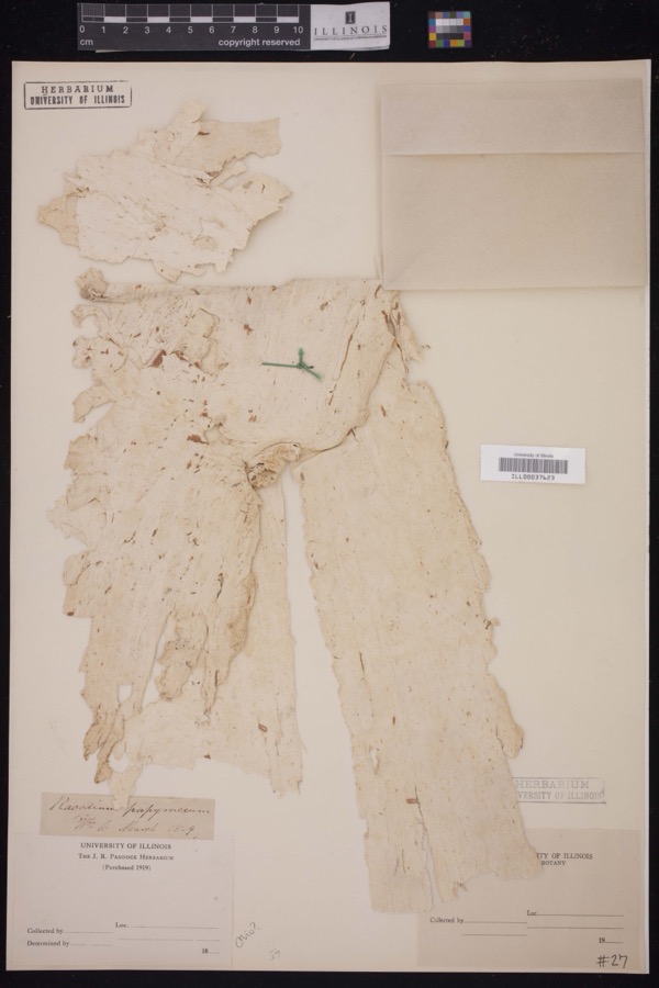 | Racodium E.M.Fries, 1829 | 1829 | J.R. Paddock | |
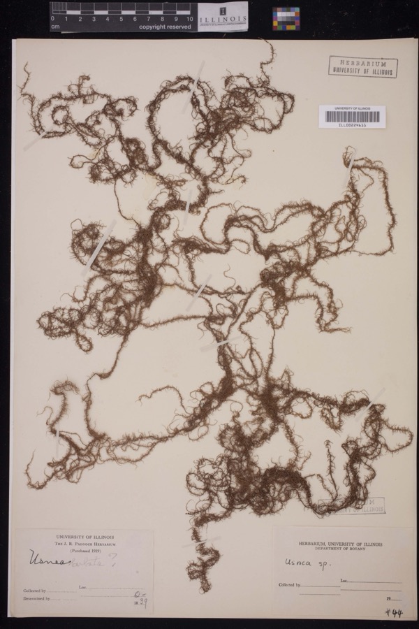 | Usnea Dill. ex Adans., 1763 | 1839 | J.R. Paddock | |
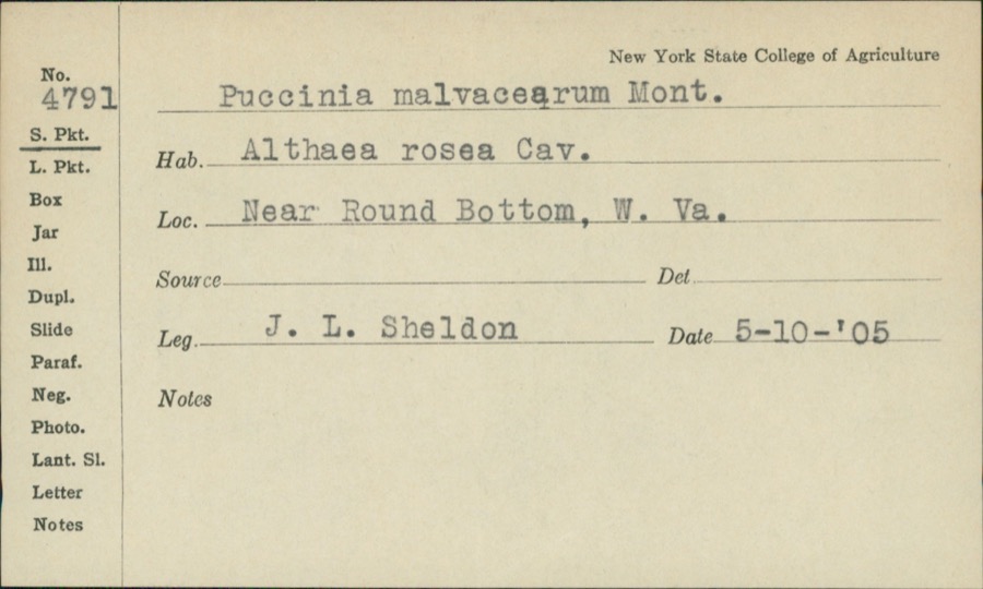 | Puccinia malvacearum Bertero ex Mont. | 1905 | J.L. Sheldon | Near Round Bottom |
 | Persicaria virginiana (L.) Gaertn. | 1835 | E. Wilkinson | Ohio |
 | Carex sparganioides Muhl. ex Willd. | 1837 | B. Frank | Ohio |
 | Carex × sullivantii Boott | 1842 | W. S. Sullivant | Ohio |
 | Homalothecium subcapillatum (Hedw.) Sull. | 1843 | D. Sullivan | |
 | Euphorbia maculata L. | 1844 | S. B. Mead | Ohio |
 | Jungermannia sullivantii Austin | 1844 | W. S. Sullivant | |
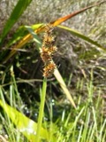 | Carex gracilescens Steud. | 1847 | G. B. Ashcroft | Ohio |
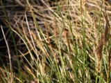 | Carex stricta Lam. | 1853 | E. L. Moseley | Ohio |
 | Cylindrothecium seductrix (Hedw.) Sull. | 1863 | D. Sullivan |
All 1,024 specimens within 10 miles, at the Global Biodiversity Information Facility.
Storms near this place
7 since 1997Regional context, not property-specific evidence. The National Weather Service names Jacobsburg in 7 storm reports between 1997 and 2020: 2 flash flood, 2 thunderstorm wind, 2 hail, 1 flood. No death or injury is recorded in these reports. Each account below is quoted exactly as the forecast office filed it, from the NOAA Storm Events Database, and each date opens the federal record of that event.
| When | Event | Place named | Harm | What the report says |
|---|---|---|---|---|
| July 2011 | Thunderstorm Wind | Jacobsburg | $10,000 | A trained spotter reported numerous trees down. |
| July 2019 | Flash Flood | Jacobsburg | $5,000 | A citizen reported that Pike Creek was out of its banks and flooding into Pike Creek Road. |
| May 1997 | Flash Flood | Jacobsburg | $1,000 | County Road 5 near Jacobsburg was flooded. Trough Run in the southeast part of the county went out of its banks. |
| July 2020 | Thunderstorm Wind | Jacobsburg | - | A local citizen reported a large tree snapped in half. |
| April 2018 | Flood | Jacobsburg | - | Emergency manager reported that Pipe Creek Road is under water. |
| May 2016 | Hail | Jacobsburg | - | no account filed |
| June 2013 | Hail | Jacobsburg | - | no account filed |
Nearest settlements
The eight closest, with where each one stands in the county. Distances are straight-line, computed from the Geographic Names Information System coordinates.
| Map | Place | Distance | Sheets |
|---|---|---|---|
| Kelsey (historical) | 0.6 miles | 12 | |
| Becket (historical) | 1.5 miles | 12 | |
| Key | 1.9 miles | 15 | |
| Glencoe | 3.1 miles | 17 | |
| Dorsey (historical) | 3.3 miles | 12 | |
| Centerville | 3.3 miles | 12 | |
| Whitney | 3.6 miles | 17 | |
| Businessburg | 3.7 miles | 15 |
Provenance
This settlement is recorded in the Geographic Names Information System as feature 1064898. The sheet list is computed by point-in-boundary test against the United States Geological Survey's historical topographic inventory. Both are works of the United States government and carry no copyright under 17 U.S.C. 105.
Wildfire. Short, Karen C. 2022. Spatial wildfire occurrence data for the United States, 1992-2020 [FPA_FOD_20221014]. 6th Edition. Fort Collins, CO: Forest Service Research Data Archive. https://doi.org/10.2737/RDS-2013-0009.6 Collected with United States Government funding and usable without additional permissions or fees.
Specimens. Global Biodiversity Information Facility (GBIF), https://www.gbif.org/. Only records licensed CC0 or CC BY are used. Records licensed CC BY-NC are excluded because this site carries advertising. Images are checked individually and any whose licence is non-commercial, no-derivatives or unreadable is refused.
Storms. NOAA National Centers for Environmental Information, Storm Events Database https://www.ncei.noaa.gov/stormevents/ A work of the United States government, no copyright under 17 U.S.C. 105. Narratives are quoted verbatim from the National Weather Service report and are not edited or summarised.