 Block
Block
Jasper Mills, Ohio
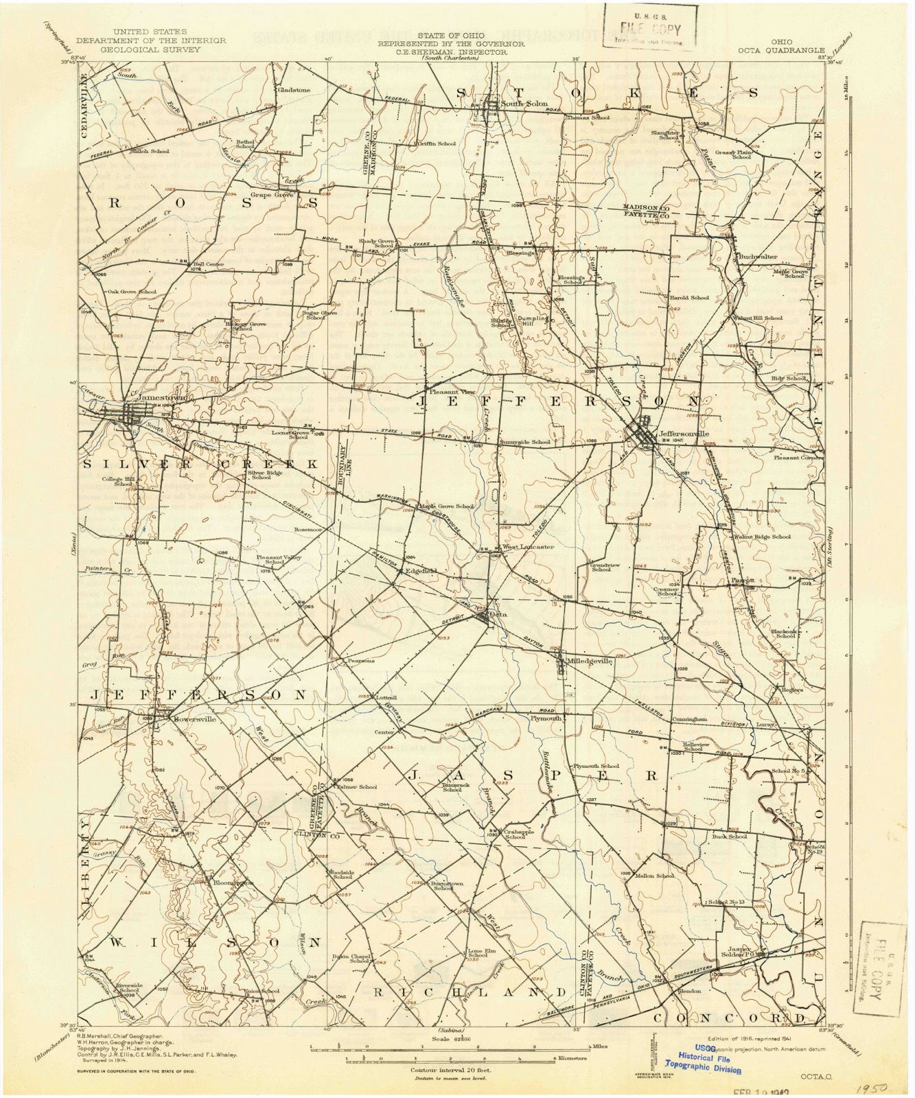
12 topographic sheets cover this place, the earliest surveyed in 1916 and the latest in 1986. It stands in Jasper Township. It lies in ZIP code area 43160. It stands on Camp Run. The Survey maps it on the Milledgeville quadrangle.
Then and now
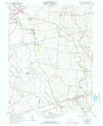
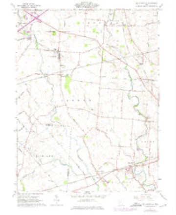
1916 to 1986The same ground, surveyed 70 years apart. Drag the handle to wipe between them. Both sheets are United States Geological Survey originals; neither has been altered.

Topographic sheets covering this place
12 sheetsMatched by testing this settlement's coordinate against the published boundary of every sheet in the United States Geological Survey's historical collection. Each opens the scanned sheet at the Survey.
- 1916 USGS Octa quadrangle1:62500
- 1944 USGS Octa quadrangle1:62500
- 1947 USGS Columbus quadrangle1:250000
- 1961 USGS Columbus quadrangle1:250000
- 1961 USGS Milledgeville quadrangle1:24000
- 1961 USGS Milledgeville quadrangle1:24000
- 1961 USGS Milledgeville quadrangle1:24000
- 1962 USGS Columbus quadrangle1:250000
- 1967 USGS Columbus quadrangle1:250000
- 1967 USGS Columbus quadrangle1:250000
- 1986 USGS Springfield quadrangle1:100000
- 1986 USGS Springfield quadrangle1:100000







In the county-history sources
4,635 words on this townshipHistory of Fayette County, Ohio : Her People, Industries and Institutions, published 1914 names this settlement in its chapter on Jasper Township. These are the passages that mention it, exactly as the scans read.
Plymouth, situated on the Palmer pike, is the oldest place in Jasper township. It was platted by Robert Plogue in 1845. The first building there w^as built in 1845 by Garland Johnson. In 1880 this village had two blacksmith shops, a wagon shop, one store, one church and about seventy-five population. The township building was here and all elections were held therein. The pioneer store was kept by Garland Johnson, who opened up in 1845, but that year sold to James McWhorter, who, in 1846, sold the stock and building to E. L. Ford. In 1848 Harvey Sanderson built and engaged in trade until about 1849, ^^t which date he sold to E. L. Eord.
Passage source: History of Fayette County, Ohio : Her People, Industries and Institutions, published 1914.
Jasper Mills is on the list of old villages of the township. It is five miles to the west of Washington C. H. and was never legally laid out as a village, but after the finishing of the railroad in 1854, Bryan Brothers, Samuel, Joseph and John, bought five acres of land at that point of Jacob Bush, and that year erected a three-story frame grist mill, which attracted other business factors to the community. The place was first styled Jasper, but in 1858 took the name of Jasper Mills, from the brand of flour shipped from these mills ; also on account of wanting a postofiice different from the name of the township. In 1859 a saw-mill was added to the industries by Bryan Brothers, and many years later a corn shelling mill was put in by a Mr. Guthrie, of Baltimore. Thirty odd years ago this mill was operated by Tolbert & Company, of Washington C. H., and they carried on an extensive business in shipping grain from the township to the various markets.
Passage source: History of Fayette County, Ohio : Her People, Industries and Institutions, published 1914.
Machine-read from a century-old scan, so expect the errors a machine makes: misspelled names, dropped words, stray characters.
Specimens collected near this place
12 of 174 shownRegional context, not property-specific evidence. Museums hold 174 specimens collected within 10 miles of Jasper Mills between 1882 and 1975: 160 Animalia, 8 Plantae, 6 Fungi. 12 distinct Species records are shown. Collected by Bowles, P. (Pearl), Brubaker, J. A. & Higgins, Brubaker, J. A. & Link, B. and others. Each is a physical object with a catalogue number, and each entry opens the museum's record. This is what was collected and kept, not a survey of what lives here - nothing can be concluded from a species being absent.
| Image | Species | Year | Collected by | Where, as recorded |
|---|---|---|---|---|
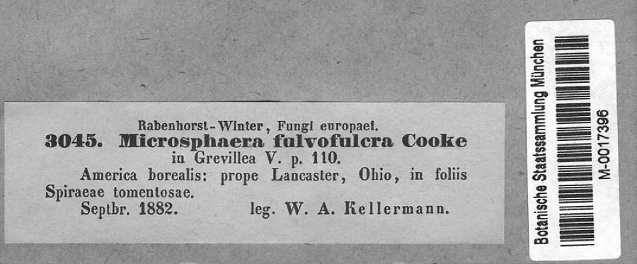 | Podosphaera clandestina var. clandestina (Wallr.) Lév. | 1882 | Kellerman, W.A. | America borealis: prope Lancaster, Ohio, in foliis Spiraeae tomentosae. |
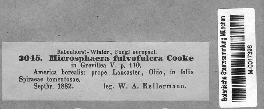 | Spiraea tomentosa L. | 1882 | Kellerman, W.A. | America borealis: prope Lancaster, Ohio, in foliis Spiraeae tomentosae. |
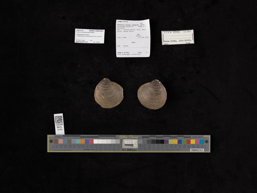 | Obovaria retusa (Lamarck, 1819) | 1909 | Bureau of Fisheries | Ohio River, Buena Vista |
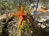 | Gymnosporangium globosum (Farl.) Farl. | 1901 | Hartley C. P. | Sabina |
 | Accipiter cooperii (Bonaparte, 1828) | 1907 | Hegler, A. (Almer) | Fairview, Fayette, Ohio, USA |
 | Buteo jamaicensis borealis (Gmelin, 1788) | 1907 | Hegler, A. (Almer) | Fairview Sta., Fayette, Ohio, USA |
_2.jpg) | Buteo lagopus sanctijohannis (Gmelin, 1788) | 1907 | Hegler, A. (Almer) | Fairview Sta., Fayette, Ohio, USA |
 | Falco rusticolus obsoletus (J.F.Gmelin, 1788) | 1907 | Hegler, A. (Almer) | Washington C.H., Fayette, Ohio, USA |
| Tiphiidae | 1925 | Pallister, J. C. (John C.) | Madison, Fayette Co., Ohio, USA | |
 | Notropis heterolepis Eigenmann & Eigenmann, 1893 | 1926 | Wickliff, E. L. (Edward L.) | Rattlesnake Creek, no more precise locality provided, SW corner of Fayette County OH |
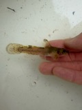 | Noturus miurus Jordan, 1877 | 1926 | Wickliff, E. L. (Edward L.) | water unknown, #10 Fayette Co, n/a, township n/a |
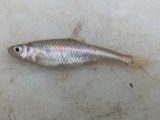 | Opsopoeodus emiliae Hay, 1881 | 1926 | Wickliff, E. L. (Edward L.) | Sugar Creek, near NE corner of Clinton County OH locality is approximate based off Fishes of Ohio distribution map |
All 174 specimens within 10 miles, at the Global Biodiversity Information Facility.
Mines and quarries near this place
1 within 5 milesRegional context, not property-specific evidence. The federal mineral resources record lists 1 working within 5 miles of Jasper Mills: 1 past producer. None of them still produces. What was taken out: Limestone, General. Distance is straight-line from the map coordinates, so a quarry counted here may appear on a neighbouring settlement's page as well.
| Where | Site | Commodity | Status | Recorded |
|---|---|---|---|---|
| Sugar Creek Quarry | Limestone, General | Past Producer | Sedimentary |
Storms near this place
5 since 1997Regional context, not property-specific evidence. The National Weather Service names Jasper Mills in 5 storm reports between 1997 and 2026: 2 thunderstorm wind, 2 flash flood, 1 tornado. No death or injury is recorded in these reports. Each account below is quoted exactly as the forecast office filed it, from the NOAA Storm Events Database, and each date opens the federal record of that event.
| When | Event | Place named | Harm | What the report says |
|---|---|---|---|---|
| May 1997 | Tornado (F1) | Jasper Mills | $30,000 | A mini supercell spawned a tornado that moved out of Clinton county into Fayette county. A shed was destroyed, a barn and 2 houses were damaged, and 8 trees were downed. |
| April 2014 | Thunderstorm Wind | Jasper Mills | $15,000 | A barn was destroyed on Miami Trace Road due to thunderstorm winds. |
| April 2014 | Thunderstorm Wind | Jasper Mills | $2,000 | A tree was downed and damage occurred to a well due to thunderstorm winds. |
| March 2026 | Flash Flood | Jasper Mills | - | Sugar Creek was out of its banks, resulting in about a foot of water flowing over Bush Road NW. |
| May 2022 | Flash Flood | Jasper Mills | - | West Fork Road off of U.S. 22 was closed due to high water. |
Nearest settlements
The eight closest, with where each one stands in the county. Distances are straight-line, computed from the Geographic Names Information System coordinates.
| Map | Place | Distance | Sheets |
|---|---|---|---|
| Glendon | 1.8 miles | 12 | |
| Jonesboro | 2.3 miles | 11 | |
| Staunton | 3.6 miles | 11 | |
| Luray | 4.0 miles | 12 | |
| Cunningham | 4.4 miles | 12 | |
| Washington Court House | 4.5 miles | 11 | |
| Eber | 4.6 miles | 11 | |
| Hagler | 4.8 miles | 12 |
Provenance
This settlement is recorded in the Geographic Names Information System as feature 1064901. The sheet list is computed by point-in-boundary test against the United States Geological Survey's historical topographic inventory. Both are works of the United States government and carry no copyright under 17 U.S.C. 105.
Specimens. Global Biodiversity Information Facility (GBIF), https://www.gbif.org/. Only records licensed CC0 or CC BY are used. Records licensed CC BY-NC are excluded because this site carries advertising. Images are checked individually and any whose licence is non-commercial, no-derivatives or unreadable is refused.
Mines and quarries. USGS Mineral Resources Data System (MRDS) https://mrdata.usgs.gov/mrds/ A work of the United States government, no copyright under 17 U.S.C. 105.
Storms. NOAA National Centers for Environmental Information, Storm Events Database https://www.ncei.noaa.gov/stormevents/ A work of the United States government, no copyright under 17 U.S.C. 105. Narratives are quoted verbatim from the National Weather Service report and are not edited or summarised.