42 topographic sheets and 14 fire insurance
atlases across 2 places.
Research this county
This curated hub for Fayette County, Ohio brings together the page's documented record links, visible map or image evidence where published, and routes to related local records.
Use the page's provenance and linked records to distinguish the source material from the site's navigation and summaries.
How should I cite it?
Open the original record, preserve its repository and identifier, then use the citation tool for this page as a path back to the source.
Where should I go next?
Follow the county or state hub for related places and records, then use the guide for a source-aware research sequence.
From the record
“Jefferson township was named after the third President of the United States. It is located in the northwestern part of Fayette county, being bounded on the north by Madison county, on the east by Paint township, on the south by Union and Jasper townships, and on the west by Greene county. Paint creek forms its eastern boundary proper, while Rattlesnake enters in the north and crosses the entire township, flowing southwestwardly, while the numerous tributaries of these streams traverse the township in different directions.”
Topography - History of Fayette County, Ohio : Her People, Industries and Institutions (1914). Machine-read text.
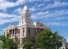
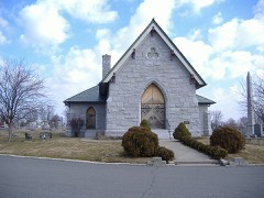
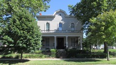
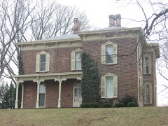
12 National Register listings · 20 businesses named in the fire insurance atlases from 1895 to 1921 · the 1914 county history tells 19 stories and names 133 people · people the book names include By Judge Beaty (Jefferson Township, 1872) · Biographical Dr. 0. A. Allen (Paint Township, 1881) (machine-read).
Ohio within the United StatesFayette County within Ohio
Explore by year
What the record shows
2 places in this county were surveyed for fire insurance: Washington Court House, Jeffersonville, between 1885 and 1950.
14 fire insurance atlas(es) survive for the county. Topographic coverage is national; fire insurance survey reached only incorporated places with something worth insuring.
518 topographic sheet readings cover the county's settlements.
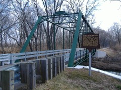
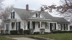
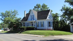
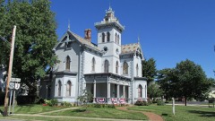
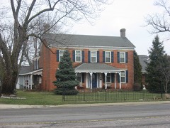
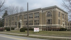
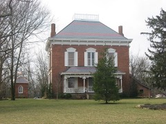
12 properties here are on the National Register of Historic Places, including 9 houses and farms.
3 of the 12 listings were added during the 1970s.
The Geographic Names Information System records 46 populated places in this county; 0 are covered by at least one topographic sheet.
5 public-domain county histories, 1872 to 1914, supply 329,720 words of narrative reproduced here in full.
What happened here
19 accounts
A captivity, a drowning, a famine, a man
scalped clearing his lot in 1789. These are passages from History of Fayette County, Ohio : Her People, Industries and Institutions, written
while people who remembered the events were still alive, and each one
opens the section it comes from.
1914, Jefferson Township
Preface
The Author has spent several months in constant travel and search, and taken unwearied pains, in collecting the names and records of the illustrious Pioneers, who made their homes first in Fayettte County. It has involved considerable time, expense, labor and difficulties. Visiting all the most noted places, mounds, camps, cliffs, etc., in the county, he has endeavored to portray the toils, hardships and privations of a pioneer life, when nothing but dense forests, inhabited only by Indians and wild beasts ; when the only habitation was the rude log cabin ; when the scream of the panther, the howl of the wolf, the hum of wild bees, and the war song of the savages constituted the music of the wilderness.
Georoe Roughner emigrated to the Scioto Valley about 1789, from Virginia, and located on the South bank of Paint River. He was a fearless, brave man. He had a deadly hatred to the Indians, as they had killed his father in 1774, at Point Pleasant. His father was an Indian spy under Lord Dunmore ; he lived by hunting game, and would kill every straggling Indian that he could see.
matter, and in gravel-beds in other parts of the county ; and in Green Township were found human bones, such as skulls, thigh bones, arm bones, and other bones connected with the human body. First mill, Thos. Moon, Sen., on Rattlesnake; first school-house erected 1819, and was built of round logs, with mud chimney, puncheon floor, paper windows, made by pasting paper over ci*acks and then greasing them, and seats were made of logs split into two pieces ; first school teacher, Ebenezer Christy.
He emigrated to Fayette County in 1810, and settled in Green Township, near the waters of Rattlesnake, in the woods. He served in the war of 1812; he had, by his first wife, twelve children, and by his second wife, one son, called Craton, who is married and lives with him. Mr. K. is now 89 years old, and enjoys good health for a man of his years.
George Rupart and John Arnold. George Rupart told Mr. Burnett that he killd, in one season, 120 deer, two bears, wolves and other game in abundance. John Arnold killed deer and other game without number. On Esquire Marks' farm there is an ancient grave yard ; skeletons seven feet, and perfectly sound, have been exhumed.
In 1694, Count Frontenac, in a conference with the Western Indians, requested the Miamis of the Pepikokia band who resided on the Maramek, to remove and join the tribe which was located on the Saint Joseph, of Lake Michigan. The reason for this request, as stated by Frontenac himself, was, that he wished the different bands of the Miami confederacy to unite, " so as to be able to execute with greater facility the commands which he might issue." At that time the Iroquois were at war with Canada, and the French were endeavoring to persuade the western tribes to take up the tomahawk in their behalf.
outraged Inimanitj by their brutality toward tlie frontier settlers, having barbarously murdered many of them and carried their wives and children into captivity, General Gage, commander-in-chief of the British troops in North America, decided, in 1764, to organize two armies, to be commanded respectively by Colonels Bradstreet and Bouquet.
Although there was no legal compulsion to the performance of military duty, yet every man of full age and size was expected to do his full share of public service. If he did not do so he was " hated .out as a coward." Even the want of any article of war equipment, such as ammunition, a sharp flint, a priming-wire, a scalping knife, or tomahawk, was thought highlj' disgraceful.
Beginning at the north part, survey number 1093, on Paint Creek; thence west, with the county line, to the Greene County line, northwest corner, survey number 5993 ; thence south, Avith said line, to east part, survey number 1079; thence east, bearing south, to northwest part, survey number 1253; thence east, crossing Rattlesnake Creek, to the northwest corner, survey number 1379 ; thence south to the southeast corner of survey number 1379; thence east to Sugar Creek; thence down said creek, to the Union Township line, in southwest part, survey number 5866; thence northeast, with said line, to Paint Creek, near crossing of Jeffcrsonville pike ; thence up Paint to beginning.
The rich, juicy grass, cool, sparkling springs, in some parts deep forests, pellucid streams, afibrded sustenance and delightful retreats for every species of game, from the fish to the otter, from the squirrel to the conger and bear. The scream of the panther and the squall of the wild cat mingled with the sweet song of the thrush, and the howl of the wolf drowned the sweet notes of the mocking bird, while stolid bruin roamed the woods, with no ear for music save the squealing of the pioneer hog.
William Robinson, already mentioned as Fayette's first settler, was surrounded by a multitude of game, and in 1802 killed fifteen bears, three catamounts, fifteen elk, and one hundred deer. He was, on one occasion, hunting upon the head-waters of the Eattlesnake, when a light noise behind him caught his alert ear.
This formation occurs next above the Niagara, and overlies it in Fayette County. The Niagara dips to the east, and the Lower Helderberg overlaps it. On Rattlesnake, in Fayette County, about one hundred feet in perpendicular thickness of this stone are accessable to observation. The exact locality where the greatest thickness can be observed, is on the Washington and Leesburg road, west of Rattlesnake Creek - the hill in the rear of the school house has an exposure near the summit.
On the 4th the enemy was nowhere to he seen, and the day was spent in burying the dead of the regiment, who were found stripped of all their clothing except their drawers. Those seriously wounded were found with their wounds undressed, and in a most terrible condition. Colonel Ross, who led the regiment in this battle, and who proved himself a brave and efficient officer, was immediately after sent to the rear in serious ill-health.
The Author has spent several months in constant travel and search, and taken unwearied pains, in collecting the names and records of the illustrious Pioneers, who made their homes first in FayettteCounty. It has involved considerable time, expense, labor and difficulties. Visiting all the most noted places, mounds, camps, cliffs, etc., in the county, he has endeavored to portray the toils, hardships and privations of a pioneer life, when nothing but dense forests, inhabited only by Indians and wild beasts; when the only habitation was the rude log cabin; when the scream of the panther, the howl of the wolf, the hum of wild bees, and the war song of the savages constituted the music of the wilderness.
matter, and in gravel-heds in other parts of the county; and in Green Township Were found Numan bones, such as skulls, thic¢h bones. arm bones, and other bones conneeted with the hath body. First mill, Thes. Moon. Sen.. on Rattlesnake : first. xchool-house erected I810. and was built of round logs, with mud chimney, puncheon floor, paper windows.
He emigrated to Fayette County in 1810, and settled in Green Township, near the waters of Rattlesnake, in the woods. He served in the war of 1812; he had, by his first wife, twelve children, and by his second wife, one son, called Oraton, who is married and lives with him. Mr. K. is now 89 years old, and enjoys good health for a man of his years.
George Rupart and John Arnold. George Rupart told Mr. Burnett that he killd, in one season, 120 deer, two bears, wolves and other game in abundance. John Arnold killed deer and other game without number. On Esquire Marks' farm there is an ancient grave yard; skeletons seven feet, and perfectly sound, have been exhumed.
Mound embracing two acres, twelve feet high and sixty feet in circumference, on Thomas Thompson's farm, near Cumpton creek ; it has been explored, and several large skeletons have been exhumed; the teeth of some of the skeletons were in a state of soundness and undecayed. Logan, the cclebrated Mingo Chief, had his hunting camp at the forks of now Cumpton creek, a place of annual rendezvous; here in autumn, at the falling of the leaves, the brave old chief and noted hunters would assemble as a starting place, and council together for a circle hunt in this vast pararie which extended to the mouth of Deer creek; these celebrated plains were encircled by the Indian hunters, set on fire, the deer taking the alarm, would run in confusion in every direction to make their es- cape, and would be killed by the Indian hunters.
Jefferson township was named after the third President of the United States. It is located in the northwestern part of Fayette county, being bounded on the north by Madison county, on the east by Paint township, on the south by Union and Jasper townships, and on the west by Greene county. Paint creek forms its eastern boundary proper, while Rattlesnake enters in the north and crosses the entire township, flowing southwestwardly, while the numerous tributaries of these streams traverse the township in different directions.
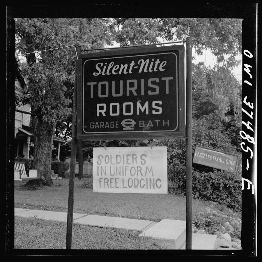
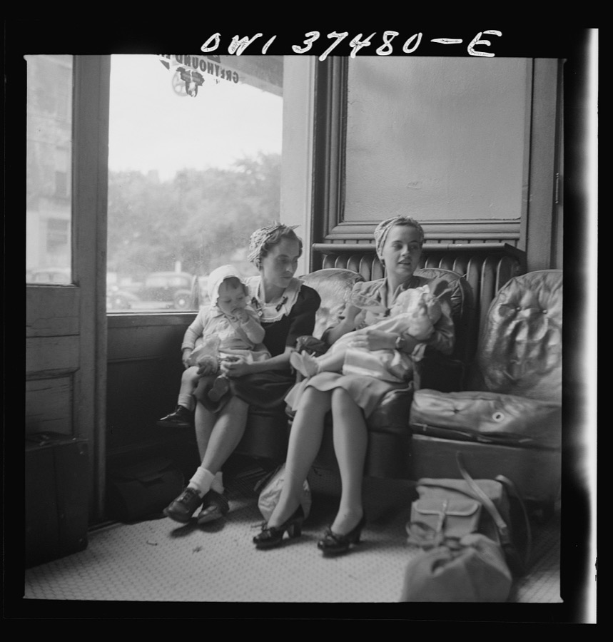
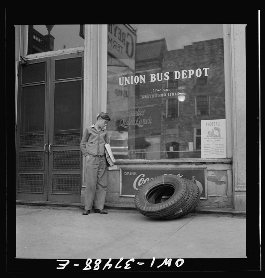
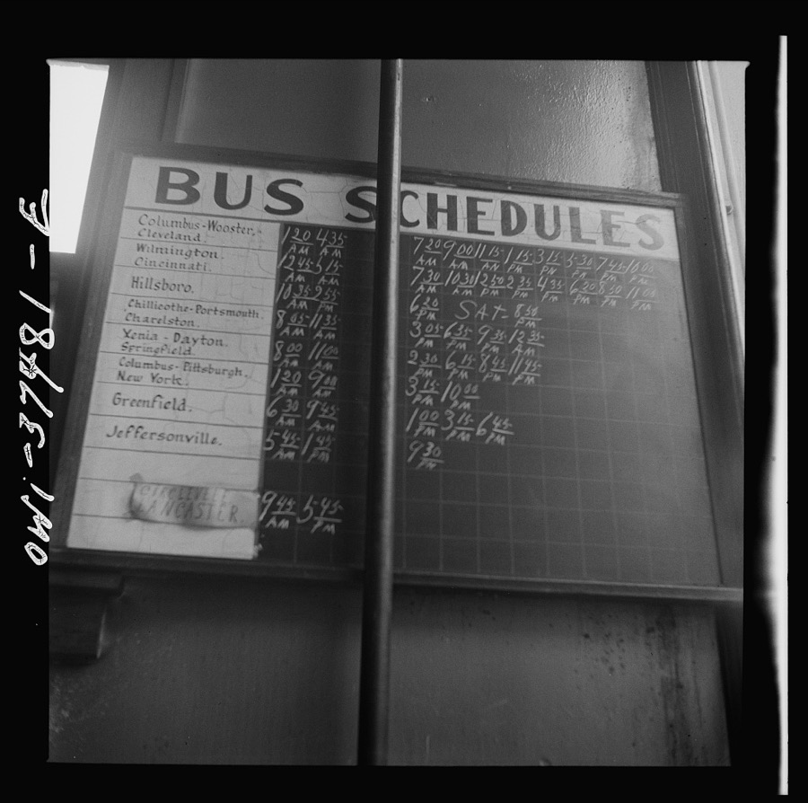
Taken for the Office of War Information and
the Farm Security Administration, who photographed the country between
1935 and 1944. Works of United States government photographers, with no
known restriction on use. Each opens its catalogue record.
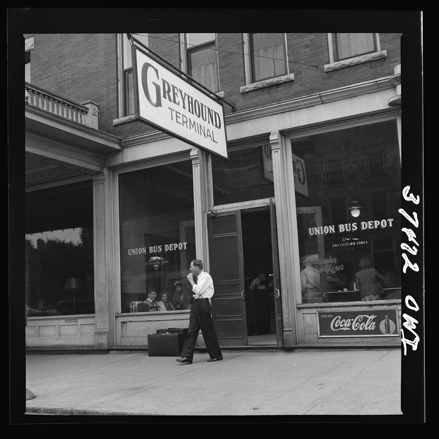
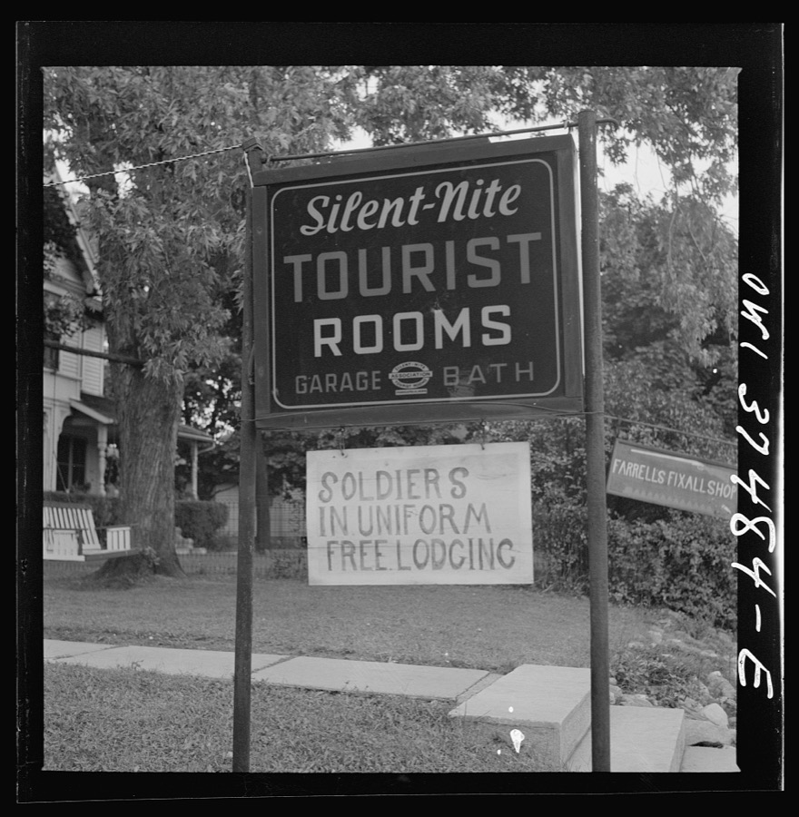
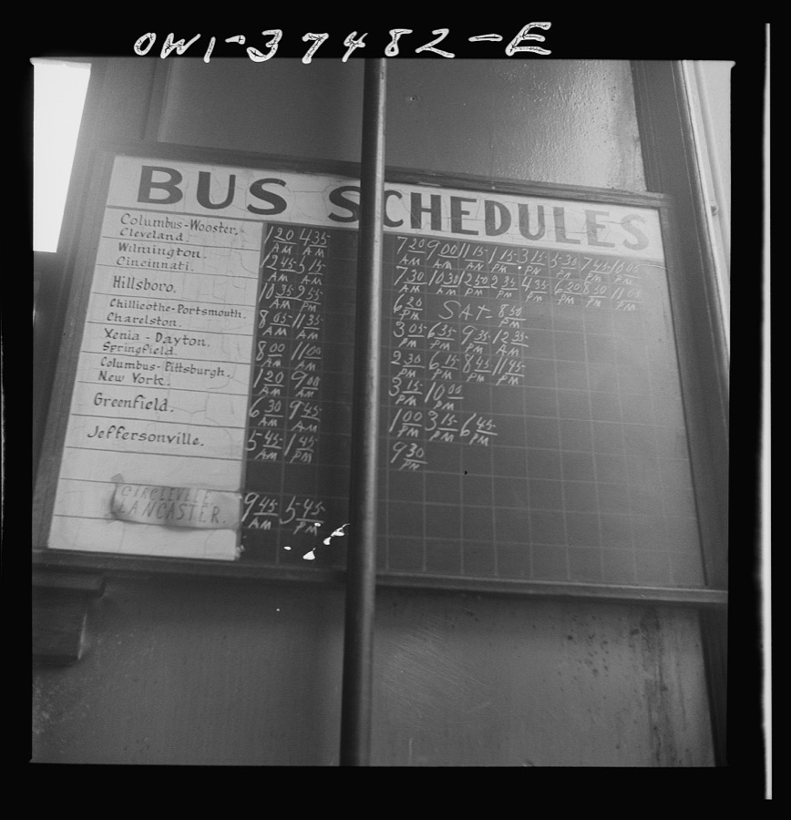
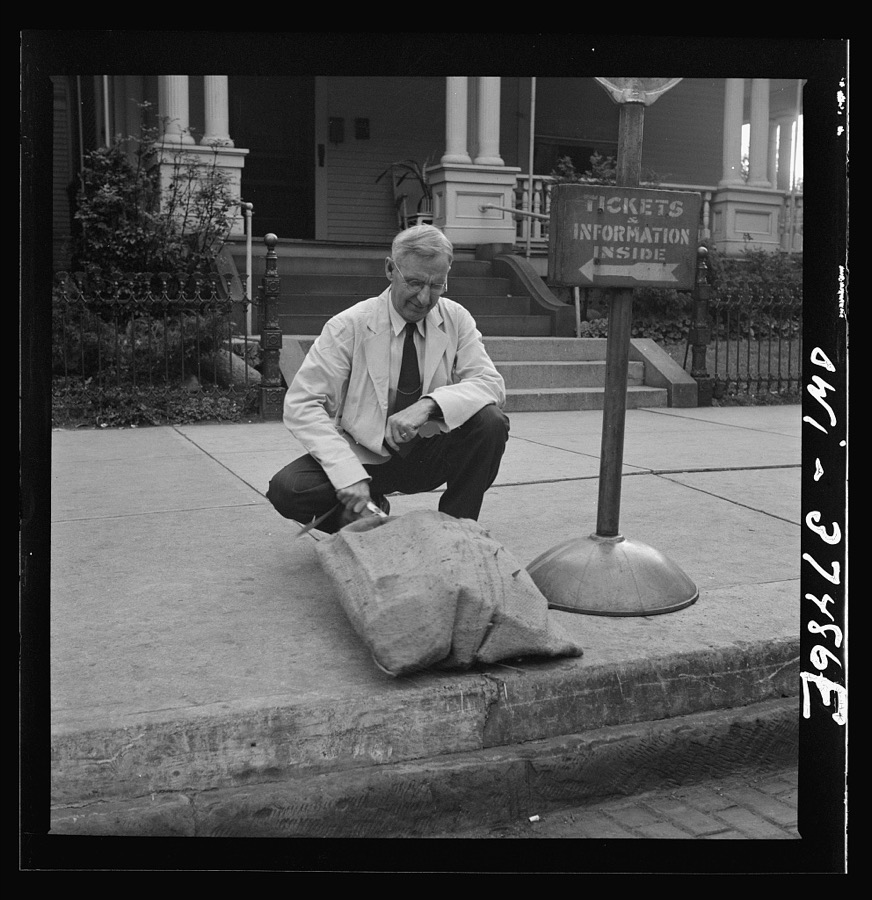
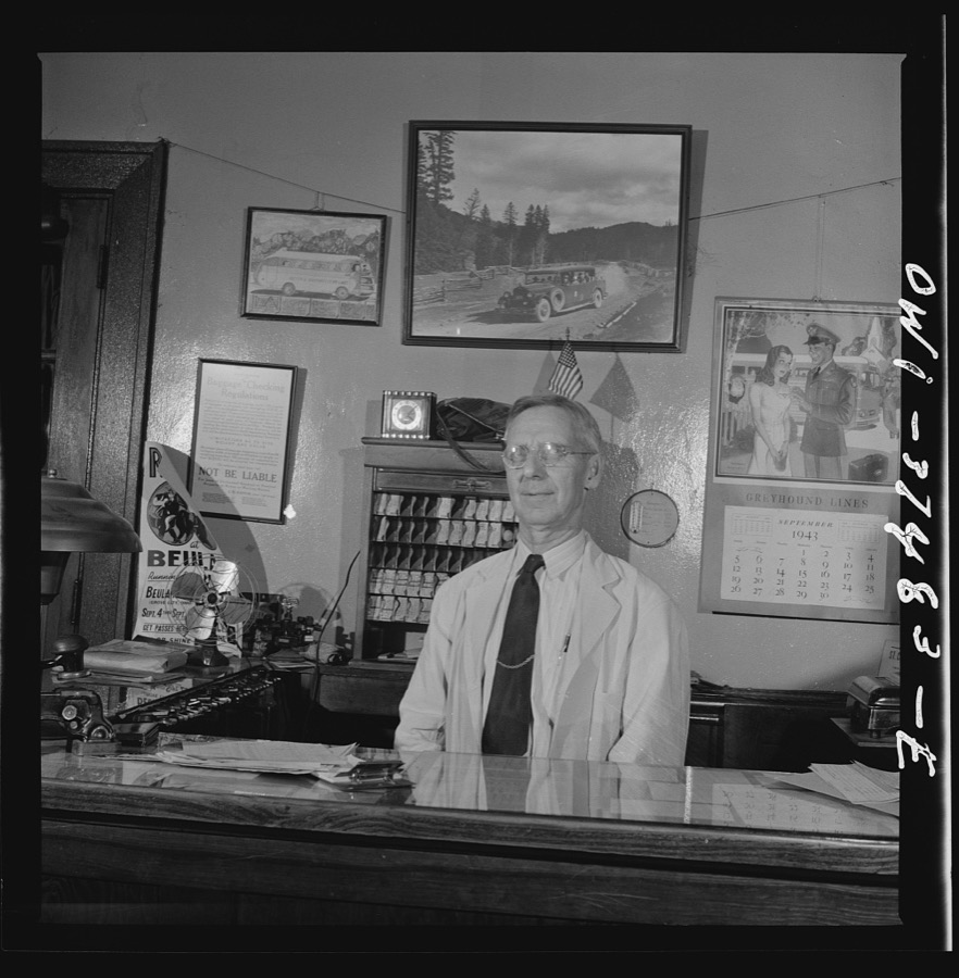
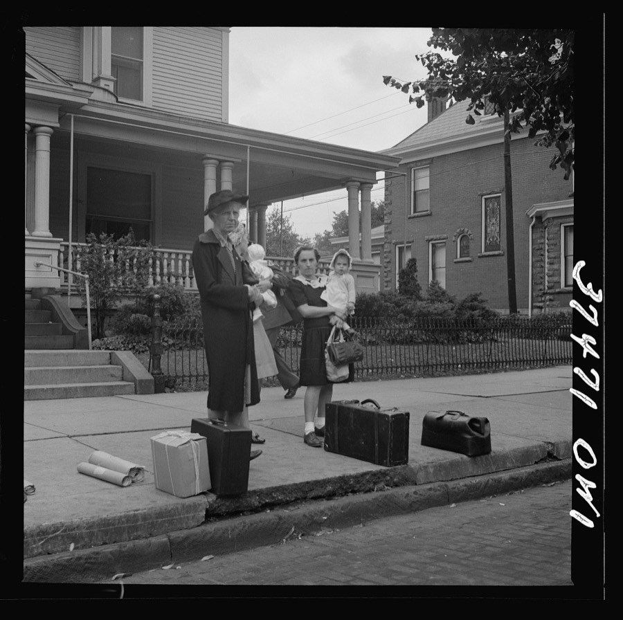
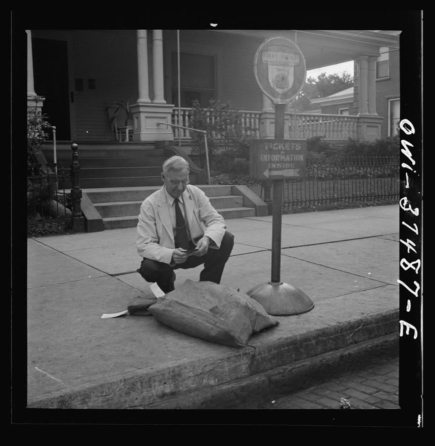
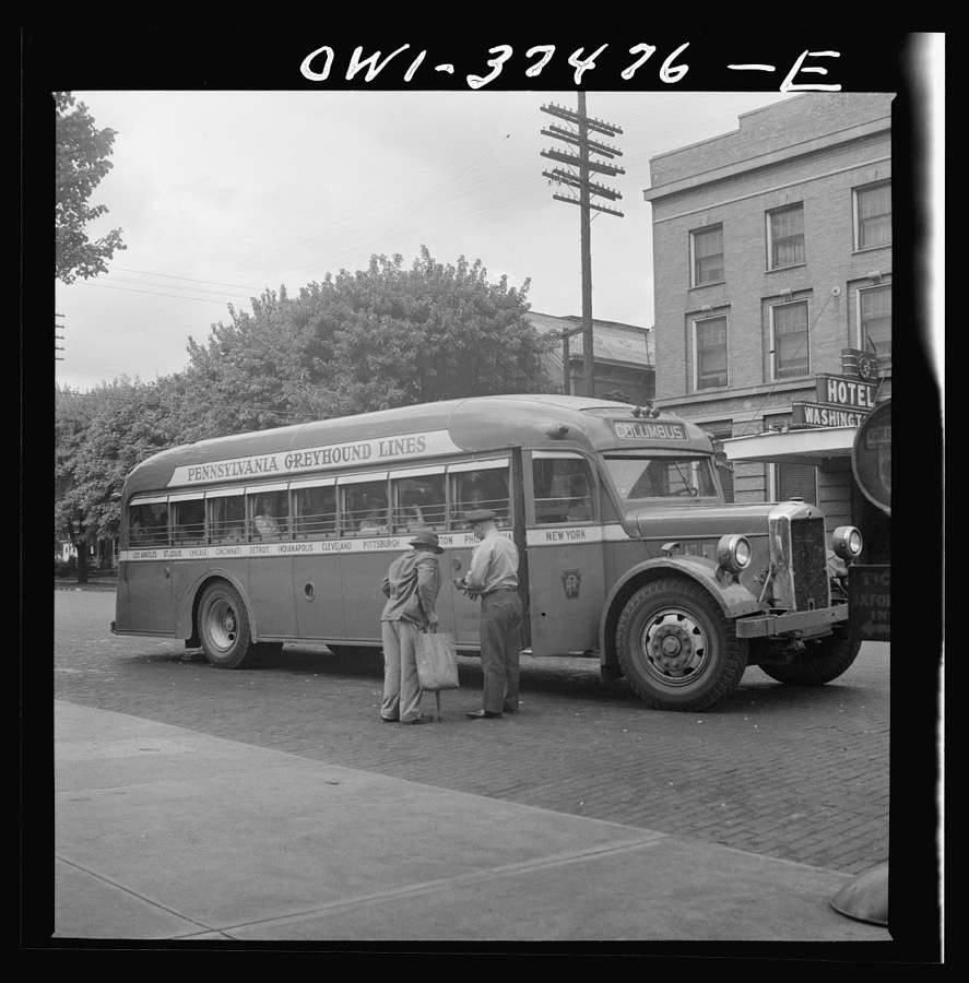
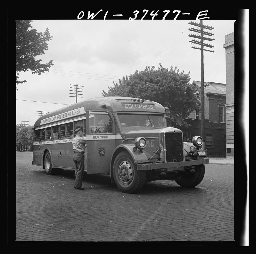
Washington Court House, Ohio. The bus depot Bubley, Esther, photographer, 1943. Library of CongressWashington Court House, Ohio. A sign Bubley, Esther, photographer, 1943. Library of CongressWashington Court House, Ohio. Bus schedule at the depot Bubley, Esther, photographer, 1943. Library of CongressWashington Court House, Ohio. A ticket agent inspecting some freight left by bus Bubley, Esther, photographer, 1943. Library of CongressWashington Court House, Ohio. A ticket agent at a small bus station Bubley, Esther, photographer, 1943. Library of CongressWashington Court House, Ohio. Waiting for a bus Bubley, Esther, photographer, 1943. Library of CongressWashington Court House, Ohio. A sign Bubley, Esther, photographer, 1943. Library of CongressWashington Court House, Ohio. Mothers with their babies waiting at the bus depot Bubley, Esther, photographer, 1943. Library of CongressWashington Court House, Ohio. A schoolboy, who rides to and from school daily on a Greyhound bus, waiting outside the depot Bubley, Esther, photographer, 1943. Library of CongressWashington Court House, Ohio. Bus schedule at the depot Bubley, Esther, photographer, 1943. Library of CongressWashington Court House, Ohio. A ticket agent inspecting some freight left by a bus Bubley, Esther, photographer, 1943. Library of CongressWashington Court House, Ohio. Passenger boarding a bus Bubley, Esther, photographer, 1943. Library of CongressWashington Court House, Ohio. Passenger boarding a bus Bubley, Esther, photographer, 1943. Library of Congress
Places on the National Register
12
Every property in this county listed on the
National Register of Historic Places, with the year it was listed and the
federal nomination document.
Fayette County holds 0 covered bridges on
the National Register, more than any other property type here. Each is a listed
structure with a federal nomination on file.
Bird's-eye views and land ownership maps
1
Drawn when these were printed as
single large sheets: the town seen from the air, and the county
divided into its farms with every owner named. Each opens the
original at the Library of Congress.
Land ownership map (1913) - Plat book of Fayette County, Ohio : compiled from county records and actual surveys. Library of Congress.
Photographs from libraries nationwide
1 shown
Selected from the Digital Public Library
of America's 1 image records catalogued for this county. Every
one shown here carries a public-domain status or a licence that permits
reuse on a site that carries advertising; non-commercial, share-alike
and restricted images are excluded. The selection is spread across the
county's towns (at most eight per town), so no single institution's
bulk upload crowds out the rest. Each opens the holding library's
record, and
the complete set at the
Digital Public Library of America is one click away.
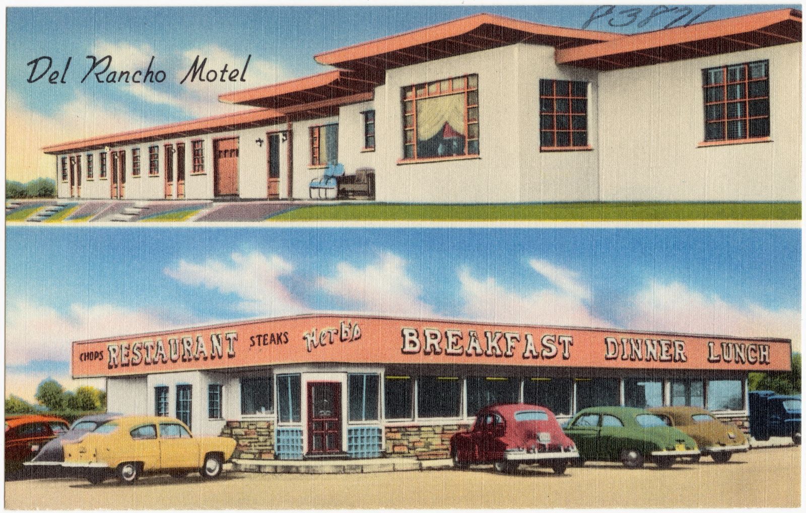
Del Rancho Motel, Washington Court House, Ohio. Boston Public Library, via the Digital Public Library of America.
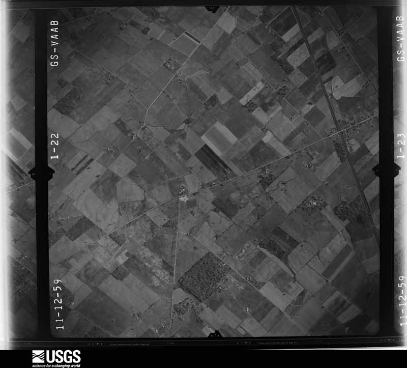
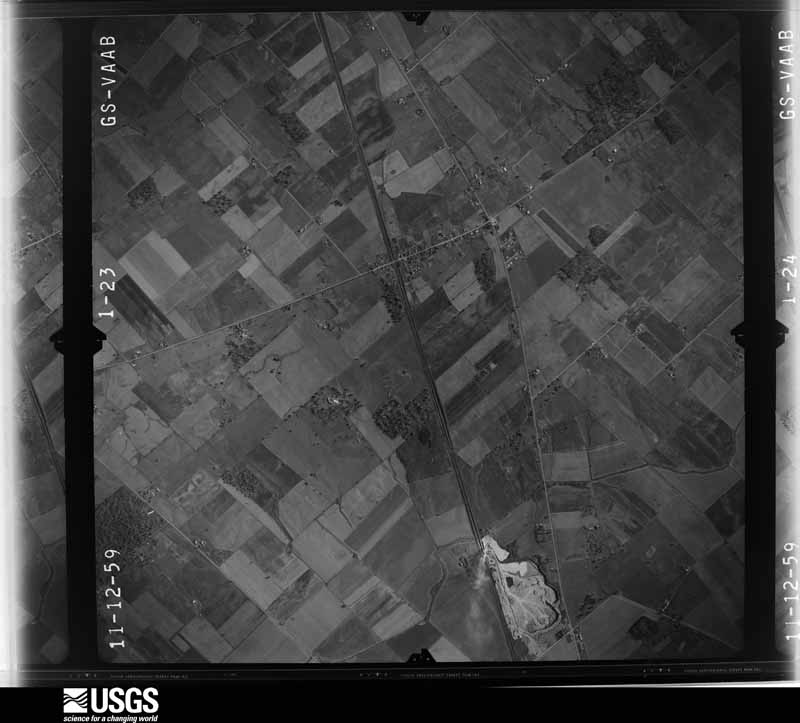
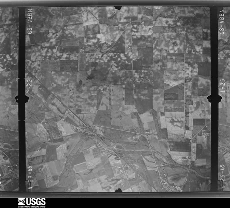
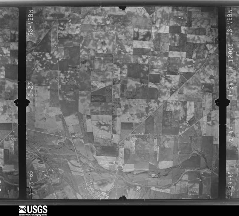
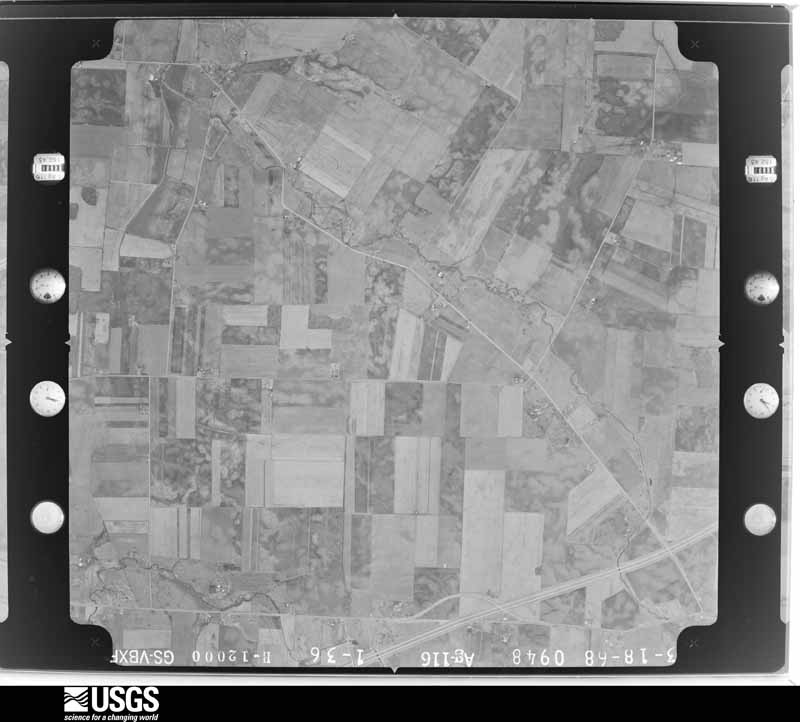
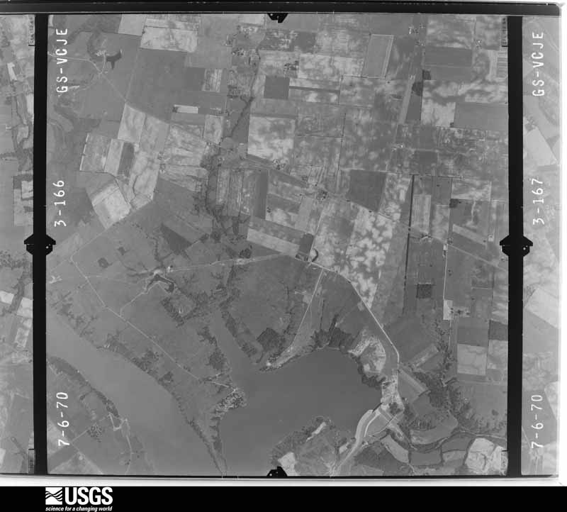
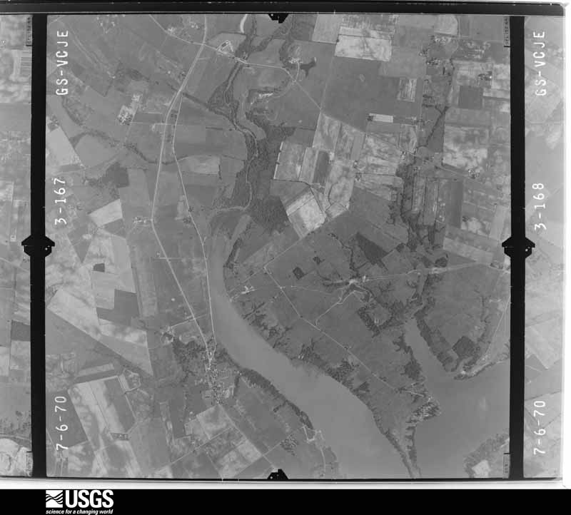
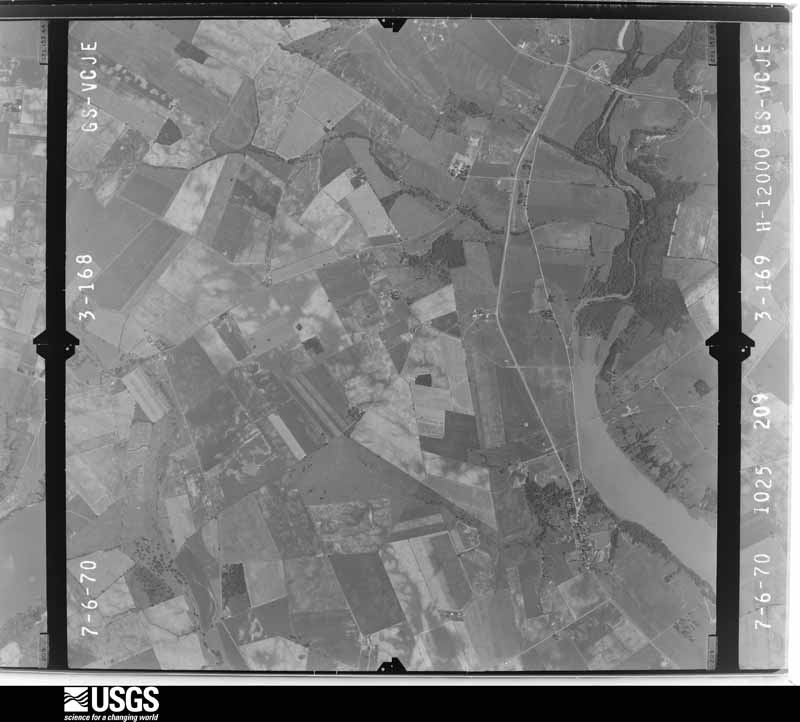
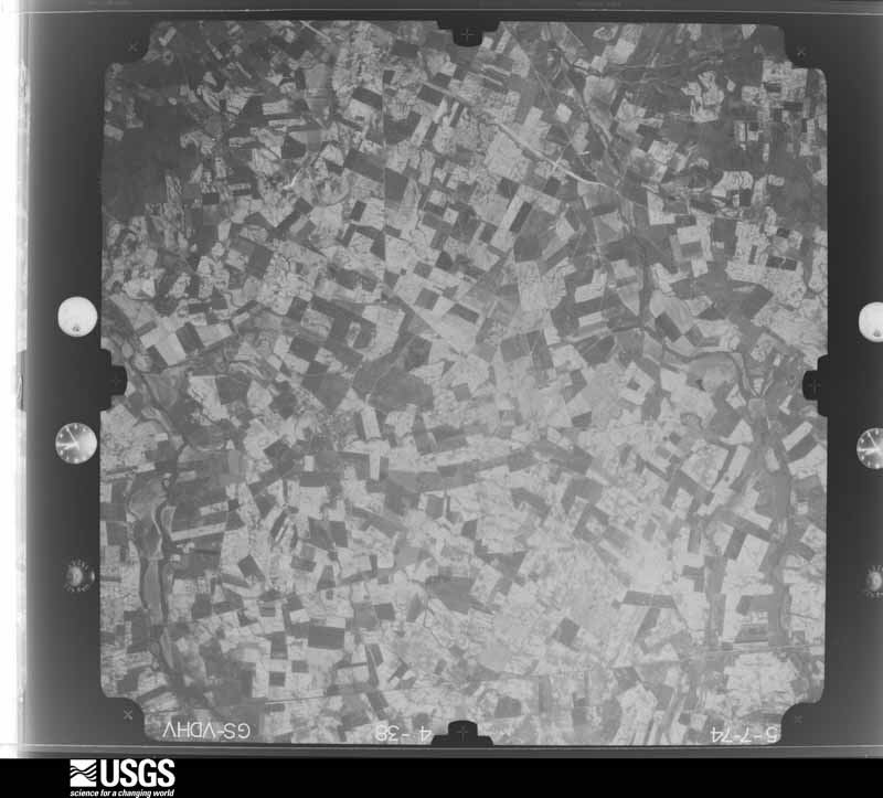
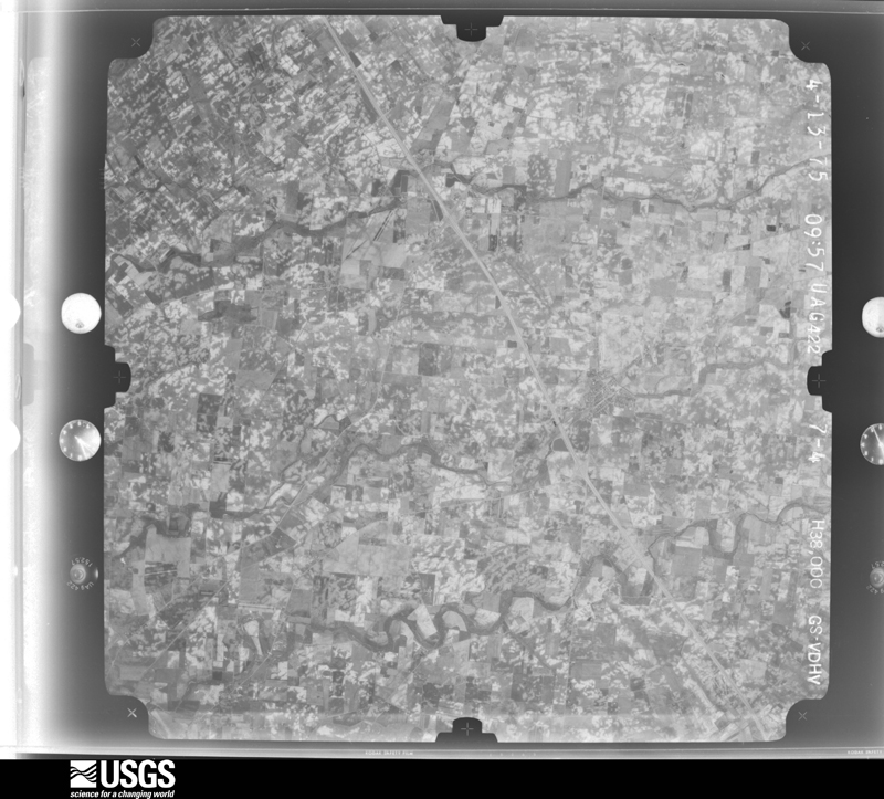
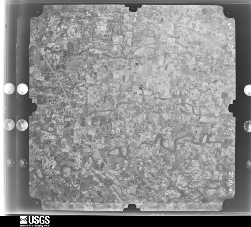
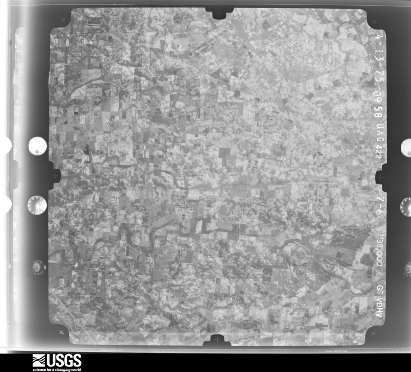
The county from the air
27 of 323 shown
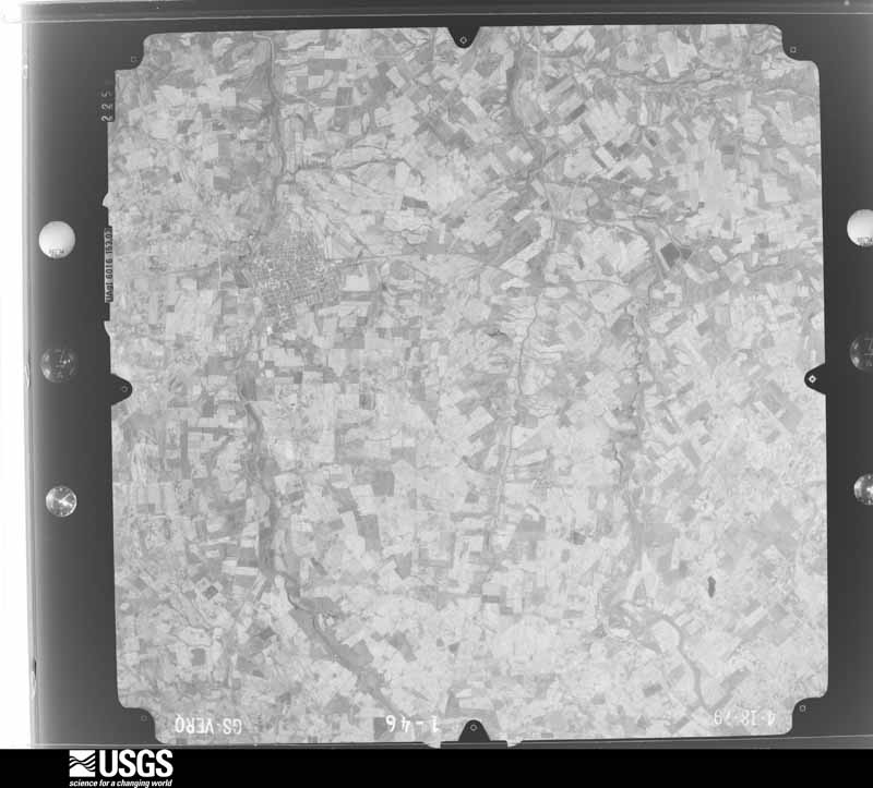
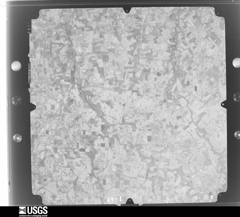
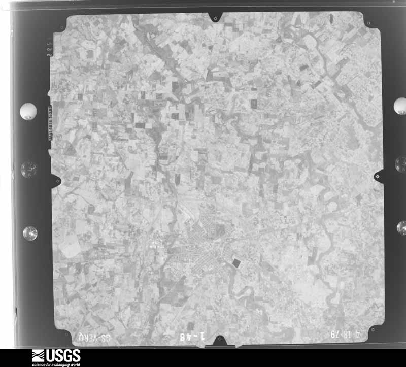
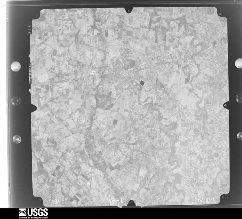
Flown by the U.S. Geological Survey
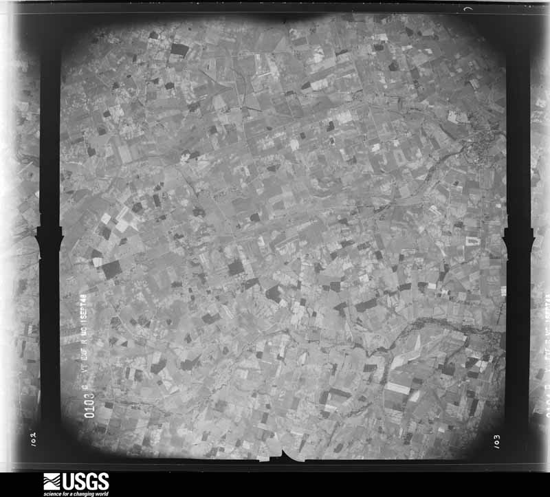
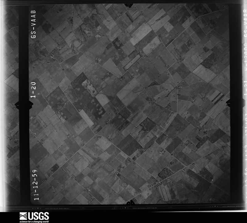
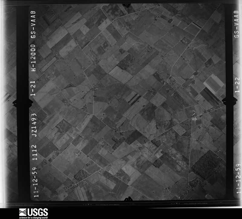
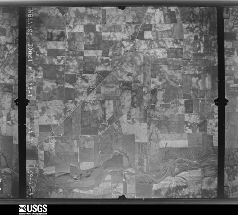
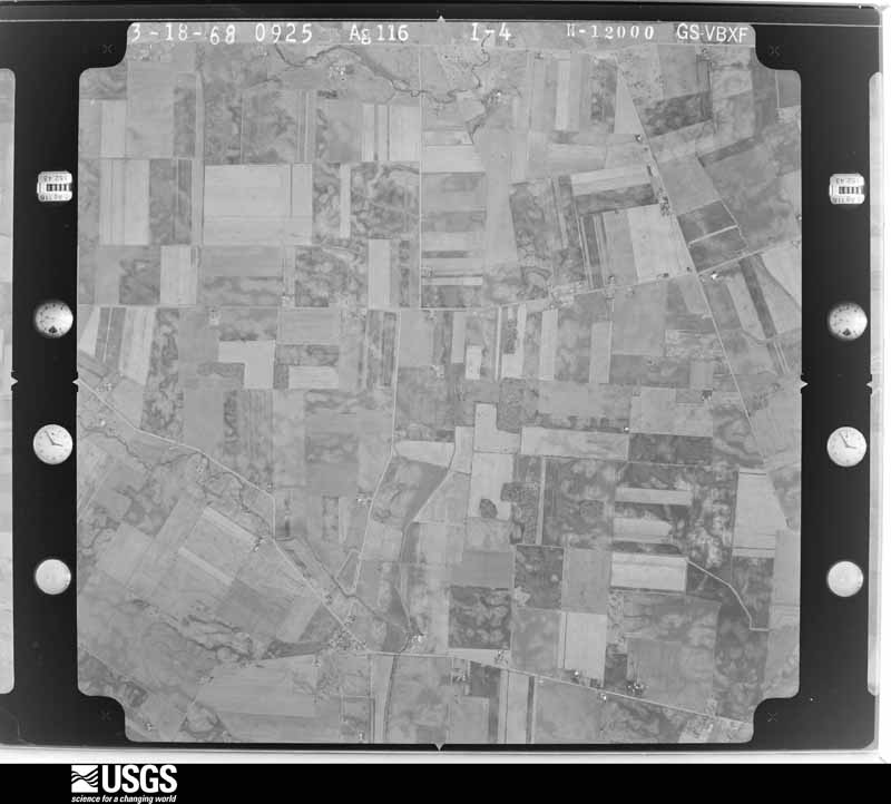
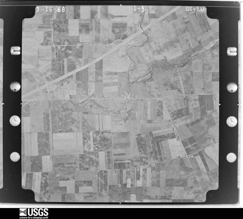
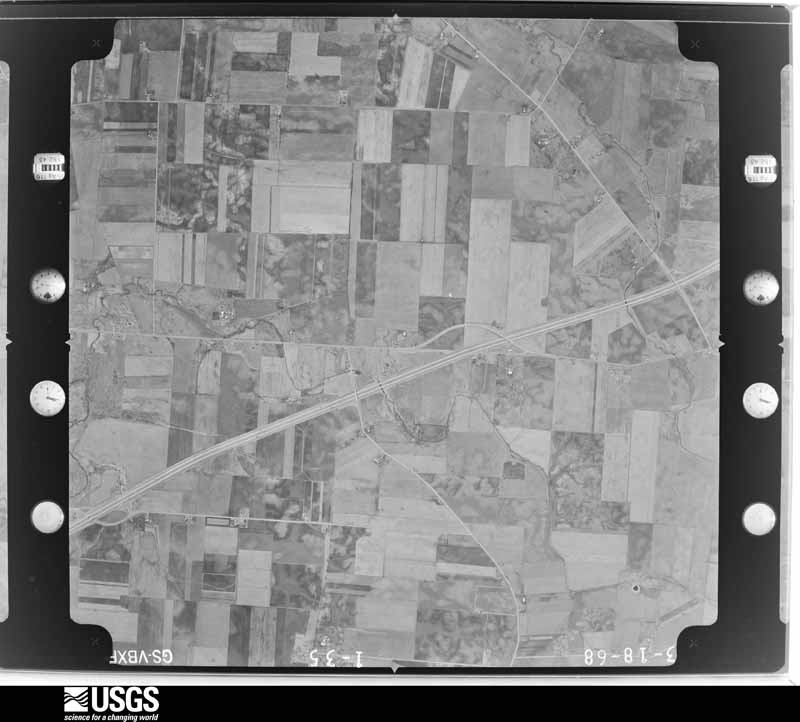
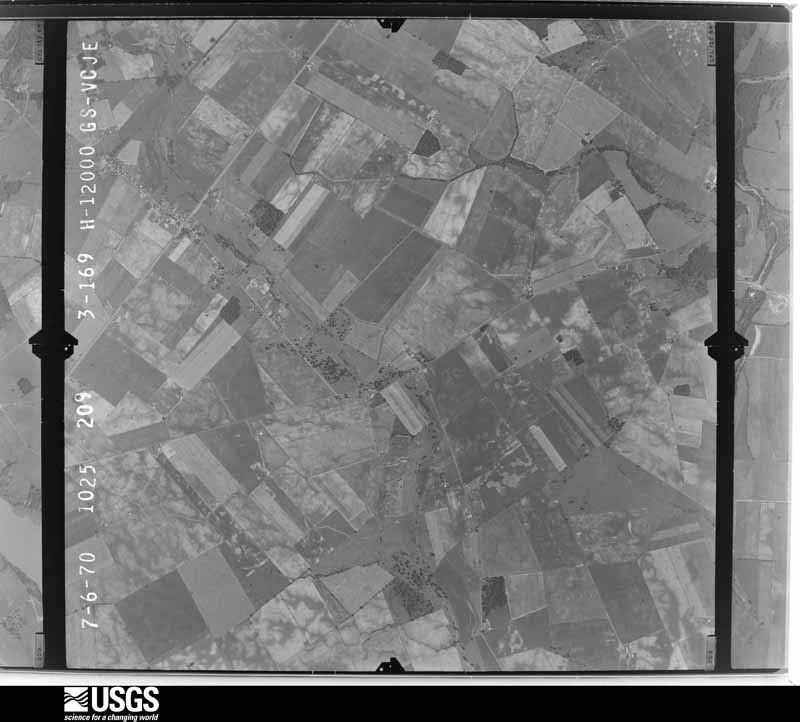
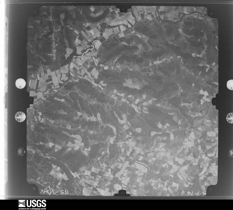
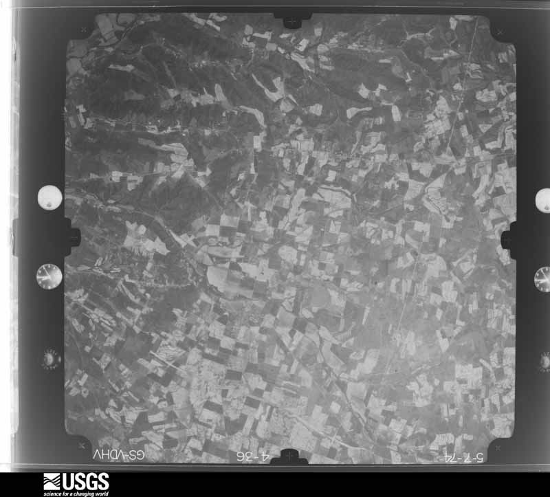
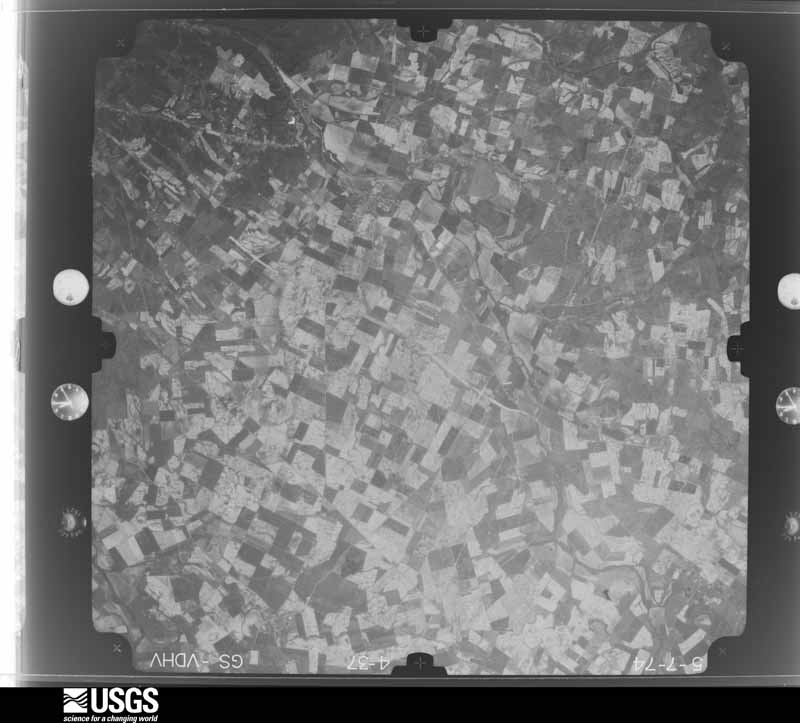
between 1937 and 1989, the Aerial Photo Single Frames collection is
the definitive mid-century view of the land: fields, roads and rivers
as the camera saw them. 323 frames touch this county; the
selection below spreads across the decades of flights (at most four
per year), so one flight cannot crowd out the rest. The full set is
free to browse and download at
EarthExplorer under the dataset Aerial Photo Single
Frames.
1948-09-01, scale 1:67634. U.S. Geological Survey aerial photograph.1960-04-07, scale 1:24000. U.S. Geological Survey aerial photograph.1960-04-07, scale 1:24000. U.S. Geological Survey aerial photograph.1960-04-07, scale 1:24000. U.S. Geological Survey aerial photograph.1960-04-07, scale 1:24000. U.S. Geological Survey aerial photograph.1965-04-29, scale 1:24000. U.S. Geological Survey aerial photograph.1965-04-29, scale 1:24000. U.S. Geological Survey aerial photograph.1965-04-29, scale 1:24000. U.S. Geological Survey aerial photograph.1968-03-18, scale 1:24000. U.S. Geological Survey aerial photograph.1968-03-18, scale 1:24000. U.S. Geological Survey aerial photograph.1968-03-18, scale 1:24000. U.S. Geological Survey aerial photograph.1968-03-18, scale 1:24000. U.S. Geological Survey aerial photograph.1970-07-16, scale 1:24000. U.S. Geological Survey aerial photograph.1970-07-16, scale 1:24000. U.S. Geological Survey aerial photograph.1970-07-16, scale 1:24000. U.S. Geological Survey aerial photograph.1970-07-16, scale 1:24000. U.S. Geological Survey aerial photograph.1974-05-01, scale 1:76000. U.S. Geological Survey aerial photograph.1974-05-01, scale 1:76000. U.S. Geological Survey aerial photograph.1974-05-01, scale 1:76000. U.S. Geological Survey aerial photograph.1974-05-01, scale 1:76000. U.S. Geological Survey aerial photograph.1975-04-13, scale 1:76000. U.S. Geological Survey aerial photograph.1975-04-13, scale 1:76000. U.S. Geological Survey aerial photograph.1975-04-13, scale 1:76000. U.S. Geological Survey aerial photograph.1979-11-01, scale 1:80000. U.S. Geological Survey aerial photograph.1979-11-01, scale 1:80000. U.S. Geological Survey aerial photograph.1979-11-01, scale 1:80000. U.S. Geological Survey aerial photograph.1979-11-01, scale 1:80000. U.S. Geological Survey aerial photograph.
City directories
1 volume
The "who lived here, by year" answer:
pre-1929 public-domain directory volumes naming the county's people,
machine-read and searchable as text.
The thermometers that kept this
county's weather, and the gages that watched its rivers, as the
federal records hold them. The extremes below are measured values
from those records, not estimates.
NEW HOLLAND1893 to 1901, hottest 40.0 C, coldest -29.4 C
Who lived here in 1950, one enumeration
district at a time, as the Census Bureau described each district.
Each row opens its official National Archives result, with Population
Schedules and ED Maps available there.
24-11Marion township: New Holland village - That part in Fayette County comprising part of Marion township (Remainder of New Holland village is in Perry township, Pickaway County)
24-12Marion township - That part outside New Holland village
24-16Union township: Union township - That part northeast of Detroit, Toledo & Ironton Railroad outside Washington city
24-17Union township - That part southwest of Detroit, Toledo & Ironton Railroad outside Washington city
24-18Washington township, coextensive with Washington city: Washington city: Washington city - That part of Ward 1 Bounded by City limits; City limits; City limits, Columbus Ave.; Lee
24-19Washington city - That part of Ward 1 Bounded by City limits; Lee[; Columbus Ave.; Delaware
24-20Washington city - That part of Ward 1 Bounded by City limits; City limits, Delaware; Gregg; N. North
24-21Washington city - That part of Ward 1 Bounded by Gregg; Delaware; Columbus Ave., E. Court; N. North
24-22Washington city - That part of Ward 2 Bounded by City limits; N. North; Baltimore and Ohio Railroad; City limits
24-23Washington city - That part of Ward 2 Bounded by Baltimore and Ohio Railroad; Paint Creek; W. Court, Leesburg Ave., City limits; City limits
24-24Washington city - That part of Ward 2 Bounded by Baltimore and Ohio Railroad; N. North; E. Court, W. Court; Paint Creek
24-25Washington city - That part of Ward 3 Bounded by E. Court; S. Huron; City limits; S. Main
24-26Washington city - That part of Ward 3 Bounded by Leesburg Ave., W. Court; S. Main; Oak, High; City limits
24-27Washington city - That part of Ward 3 Bounded by High, Oak; S. Main; City limits; City limits
24-28Washington city - That part of Ward 4 Bounded by Columbus Ave.; City limits; Washington Ave.
24-29Washington city - That part of Ward 4 Bounded by E. Court, Washington Ave.; City limits; Pennsylvania Railroad; S. Huron
24-30Washington city - That part of Ward 4 Bounded by Pennsylvania Railroad; City limits; City limits; S. Huron
Every Sanborn volume opens with a printed index
naming the town's mills, tanneries, hotels and works by proprietor. Those
indexes were read off the scanned sheets by machine and then matched to each
other, so a business surveyed four times appears here once, with the years it
survived. 3 of these 20 were named in more than one atlas. Each carries a
crop of the line it was read from: the spelling is the recogniser's and the
1880s lithographer's, and the scan behind it is the proof.
Every wildfire the federal occurrence
database records inside this county: 1 of them, burning about
0 acres. 0 started naturally and 0 were
recorded as arson. Each settlement page carries the fires within five
miles of it.
Reported cause
Fires
Missing data/not specified/undetermined
1
The five largest, by the area the report
gives. None of them was recorded as arson.
Date
Cause
Size
Reported by
Name on the report
26 March 2011
Missing data/not specified/undetermined
under an acre
Ohio Department of Natural Resources
not named
Every settlement page carries the fires within five
miles of it - see the settlement index below.
Storms, 1958 to
2026
60 of 292 shown
The
NOAA Storm Events Database holds
292 reports for this county, causing 1 death,
8 injuries and about $7,515,650 in recorded property damage.
Each settlement page carries the reports that name it.
Kind of event
Reports
Thunderstorm Wind
168
Hail
67
Flash Flood
20
Tornado
18
Flood
18
Heavy Rain
1
The most serious of them, by death, then
injury, then recorded damage. The accounts are quoted exactly as the
forecast office filed them.
A downburst from a thunderstorm blew a mobile home on its side causing minor injuries to the two occupants. Trees and utility poles were also uprooted and knocked across main roads and railroad tracks.
A tornado touched down near Ghormley and traveled east into western Ross County. Three barns were severely damaged, with one man suffering injuries from being trapped in one of the damaged barns.
A camper was rolled over and heavily damaged due to thunderstorm winds, injuring a man inside the camper. A semi-trailer truck was blown over on Interstate 71 near the intersection of SR 41. Numerous trees were also downed in the area.
The tornado appears to have first formed along State Route 734 to the east of West Lancaster Road NW, where minor tree damage was noted. The tornado strengthened to low end EF1 as it crossed Jeffersonville-West Lancaster Road. One outbuilding was destroyed while two other buildings experienced significant removal of roof covering. Several hardwood trees were also snapped. Debris was observed in a field for over 1/2 mile east of Jeffersonville-West Lancaster Road. ||Damage to numerous power poles was noted near the Jefferson Industrial Park and nearby metal roof panels of a service station were removed. Some of the last damage was noted in Jefferson Crossing, where numerous RVs were flipped at a RV business. The tornado dissipated shortly after crossing I-71.
The first sign of tornadic damage was observed near the corner of|Palmer Road NW and Harmony Road. Siding was removed from multiple|sides of a two story home, particularly on the southeast facing|side. Large tree limbs were also knocked down near this residence.||Damage continued to the southeast along Harmony Road and onto|Burnett Perrill Road. Damage primarily affected hardwood trees,|and several large branches were snapped from the trees. The|orientation of the trees exhibited a convergent pattern to the|damage. Siding was also removed from a garage at a residence on|Burnett Perrill Road.||Near the intersection of Burnett Perrill Road and Jasper-Coil|Road, numerous evergreen trees were snapped or uprooted on the|Jasper-Coil Road side.||The tornado moved across a cornfield and then across Bush|Cemetary on Bush Road. Tree damage at Bush Cemetary was extensive|and consisted of both snapped and uprooted trees thrown in|multiple directions. A well-defined swirl was noted in the|cornfield to the southeast of Bush Cemetary.||The most significant damage was observed along U.S. Route 22. Two|homes along the 3700 block of US Route 22 suffered structural|damage. One of the homes suffered partial uplift of the roof and|a significant loss of the covering of the roof. The garage was|also heavily damaged and the front porch was lifted. Leaf and|other debris splatter was observed on all sides of the home.|Spruce trees were uprooted and large limbs from other trees were|broken. The residence located on the opposite side of U.S. Route|22 had shingles and siding removed. An un-attached one car garage|was also destroyed. Damage in this area was estimated to be EF1 in|nature, with maximum winds near 100 mph.||To the southeast of this area, sporadic damage to trees and power|poles was noted, however the damage was more consistent with|straight-line winds. The survey also concluded that damage in the|Jasper Mills area was also caused by straight-line winds.
Along the path of the tornado, several trees were snapped and several structures lost parts or all of their roofs. The heaviest damage occurred to a large storage facility which suffered major roof loss and total collapse of the northern half of the structure. On the western edge of Washington Court House there was roof damage to two businesses in addition to tree damage. This damage is consistent with winds around 85 miles per hour.
A National Weather Service storm survey confirmed a tornado about five miles north of Bloomingburg. The tornado damaged the flat metal roof of a small barn and a large section of roof from another barn. A large tree in the path of the tornado was also down. The maximum estimated wind speed based on damage was eighty-five miles per hour.
A National Weather Service storm survey confirmed that a tornado touched down three miles west of Bloomingburg. Near the beginning of the path one barn was damaged and another barn was destroyed. Further along the path another barn was damaged due to the tornado. The estimated maximum wind speed based on damage was eighty miles per hour.
A brief touchdown flipped over several pontoon boats, destroying at least one. Several utility poles and trees were knocked down along with well-anchored signs being ripped off of a local business.
A mini supercell spawned a tornado that moved out of Clinton county into Fayette county. A shed was destroyed, a barn and 2 houses were damaged, and 8 trees were downed.
A large 100 year old tree was uprooted due to thunderstorm winds. Other trees and branches were downed in the area. Two semi-trucks were overturned on Interstate 71. This made a total of 3 semi-trucks overturned on the interstate.
Numerous trees and power poles were downed along Creek Road. A barn and a garage were destroyed, along with minor structural damage to the house on the property.
A building and pole barn were destroyed along US Route 62. Additionally, the home on the property suffered some siding damage, and a truck sustained significant damage.
This tornado developed in Clinton County at 0029EST, near Reed Road and State Route 72. The tornado traveled east-northeast and entered Fayette County at 0032EST, just east of Greenfield-Sabina Road at 0032EST. As it continued to move east-northeast, a roof was removed from a barn on Miami Trace Road. More tree damage was noted along Snow Hill Road and Bunkerhill Glendon Road. A silo was damaged on Staunton Jasper Road before the tornado ended.
A semi trailer overturned along Interstate 71 near the Jeffersonville exit. A roof was peeled off of a mobile home along Prairie Road. Penny size hail occurred along State Route 41 northwest of Washington Court House.
Thunderstorm winds uprooted several trees near the outlet malls.
Mines and
quarries
4 recorded
The Survey's mineral resources record
lists 4 workings inside this county. 2 still
produce and 2 are closed or unrecorded. Each settlement
page carries the workings within five miles of it.
Commodity
Workings
Limestone, General
2
Stone, Crushed/Broken
2
The least common of them first, because a
county's hundredth gravel pit says nothing its first ten did not.
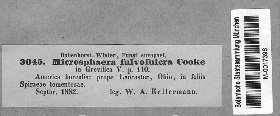
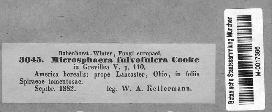
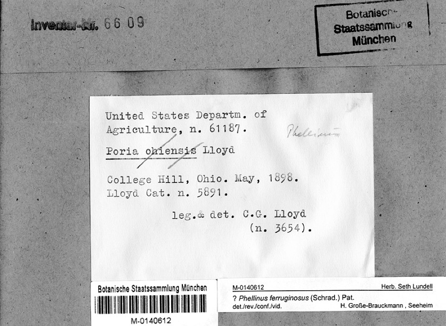
Museum specimens collected inside this
county and catalogued with a date and a place: 279 of them, by
kingdom 262 animalia, 10 plantae, 7 fungi. Each is a physical object in a named collection, not a
sighting. Held by Ohio State University - Fish Division, Columbus, OH (OSUM), INHS, UMMZ, Ohio State University - Bird Division, Columbus, OH (OSUM), Ohio State University Acarology Laboratory, Columbus, OH (OSAL), Ohio State University - Mammal Division, Columbus, OH (OSUM) among others, and each settlement page carries
the specimens collected near it.
The oldest of them. A specimen proves
something was collected on that day; its absence proves nothing.
Ohio State University - Bird Division, Columbus, OH (OSUM) OSUM Birds B 37
The townships, in 1914
329,720 words
History of Fayette County, Ohio : Her People, Industries and Institutions devotes a chapter to each township:
its boundaries and streams, who settled it and when, the mills, the
schools and the churches. All 10 are reproduced here in full. Each row
shows the township's own shape and where it lies in the county, drawn from
the Census Bureau's boundary. Which settlements belong to which township
is computed from that same boundary, not taken from the book.
Everyone History of Fayette County, Ohio : Her People, Industries and Institutions stops to write about, with
the section that describes them. Among them are the men who founded the
place and governed the Territory. Each name opens the passage itself, in
the words of 1914.
Named settlements recorded in the Geographic Names
Information System, each with the topographic sheets covering it. Villages,
hamlets and abandoned places alike. Each is shown with the watercourse or
landform it stands on and the survey quadrangle it falls on. The 2
places that were also surveyed for fire insurance come first, with the
number of atlases and photographs held for them.
The complete index, with nothing left out.
Each of these is a separate record with its own page: a federal survey
report, or the case file that argued a property on to the National
Register. Both are public domain and reproduced word for word.
Topographic sheets. USGS Historical Topographic Map Collection, county index, measured from the bulk metadata.
Fire insurance maps. Library of Congress Sanborn collection, faceted to this county.
Photographs. Each place queried individually against the Library of Congress Prints and Photographs search.
Wildfire. Short, Karen C. 2022. Spatial wildfire occurrence data for the United States, 1992-2020 [FPA_FOD_20221014]. 6th Edition. Fort Collins, CO: Forest Service Research Data Archive. https://doi.org/10.2737/RDS-2013-0009.6 Collected with United States Government funding and usable without additional permissions or fees.
Specimens. Global Biodiversity Information Facility (GBIF), https://www.gbif.org/. Only records licensed CC0 or CC BY are used. Records licensed CC BY-NC are excluded because this site carries advertising. Images are checked individually and any whose licence is non-commercial, no-derivatives or unreadable is refused.
Mines and quarries. USGS Mineral Resources Data System (MRDS) https://mrdata.usgs.gov/mrds/ A work of the United States government, no copyright under 17 U.S.C. 105.
Storms. NOAA National Centers for Environmental Information, Storm Events Database https://www.ncei.noaa.gov/stormevents/ A work of the United States government, no copyright under 17 U.S.C. 105. Narratives are quoted verbatim from the National Weather Service report and are not edited or summarised.
 Block
Block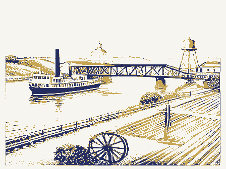





_2.jpg)